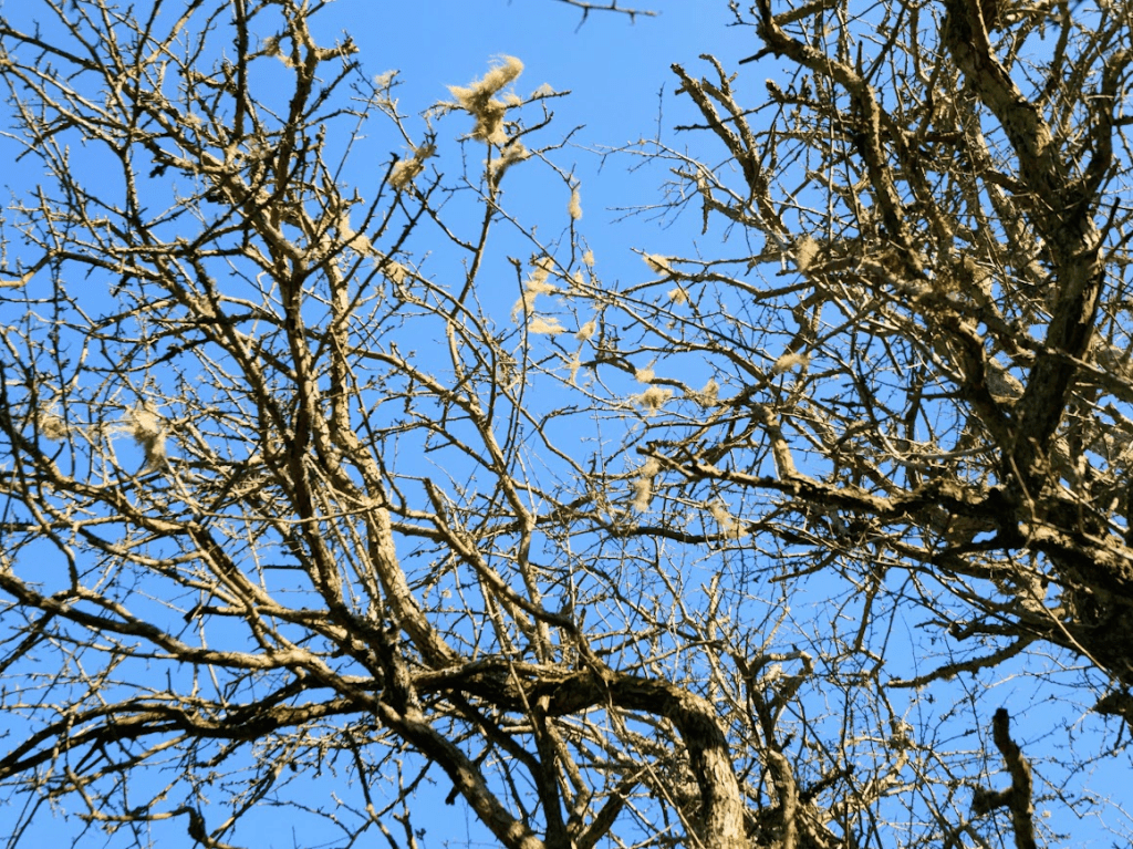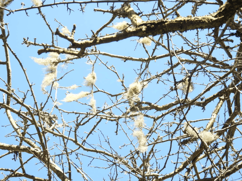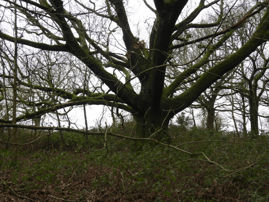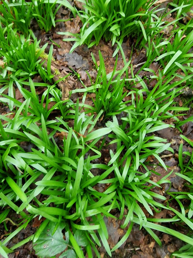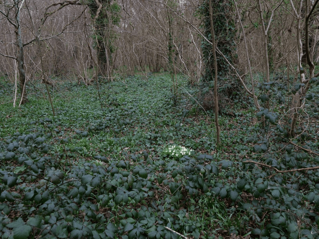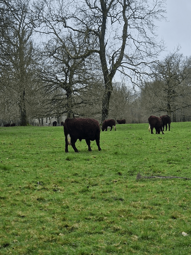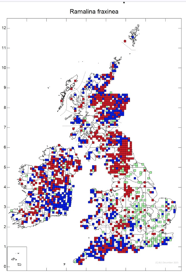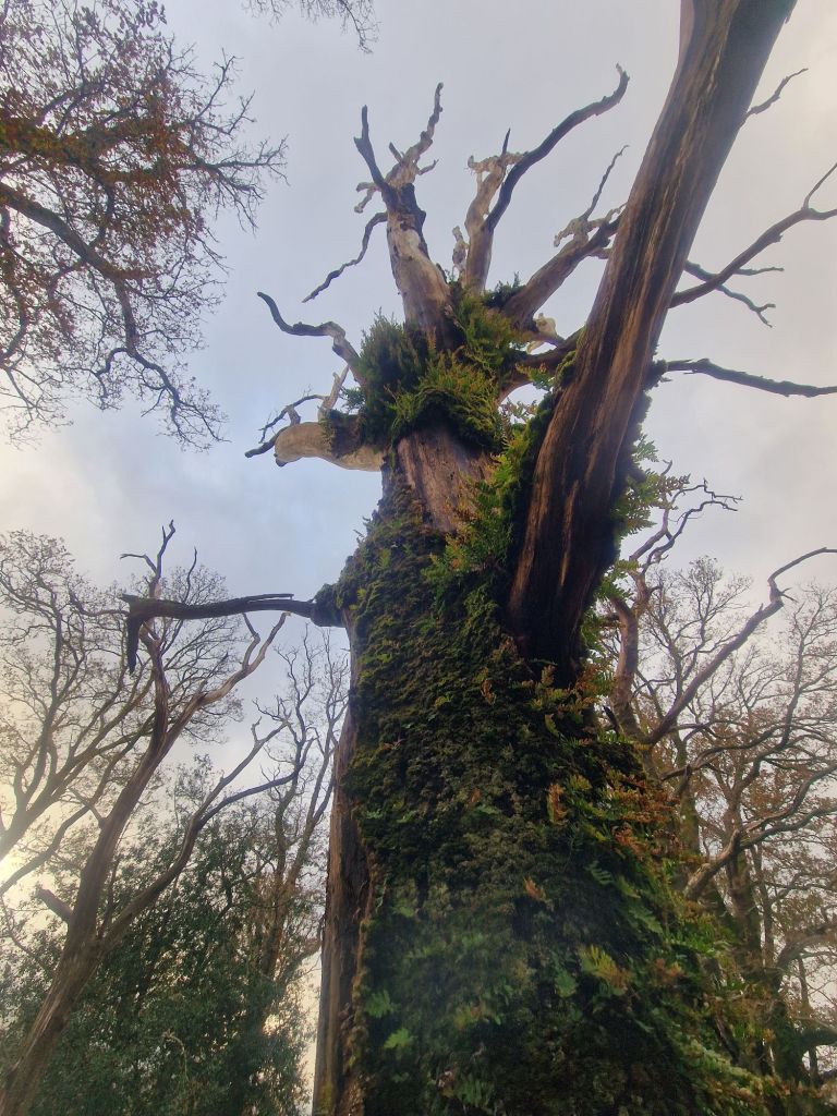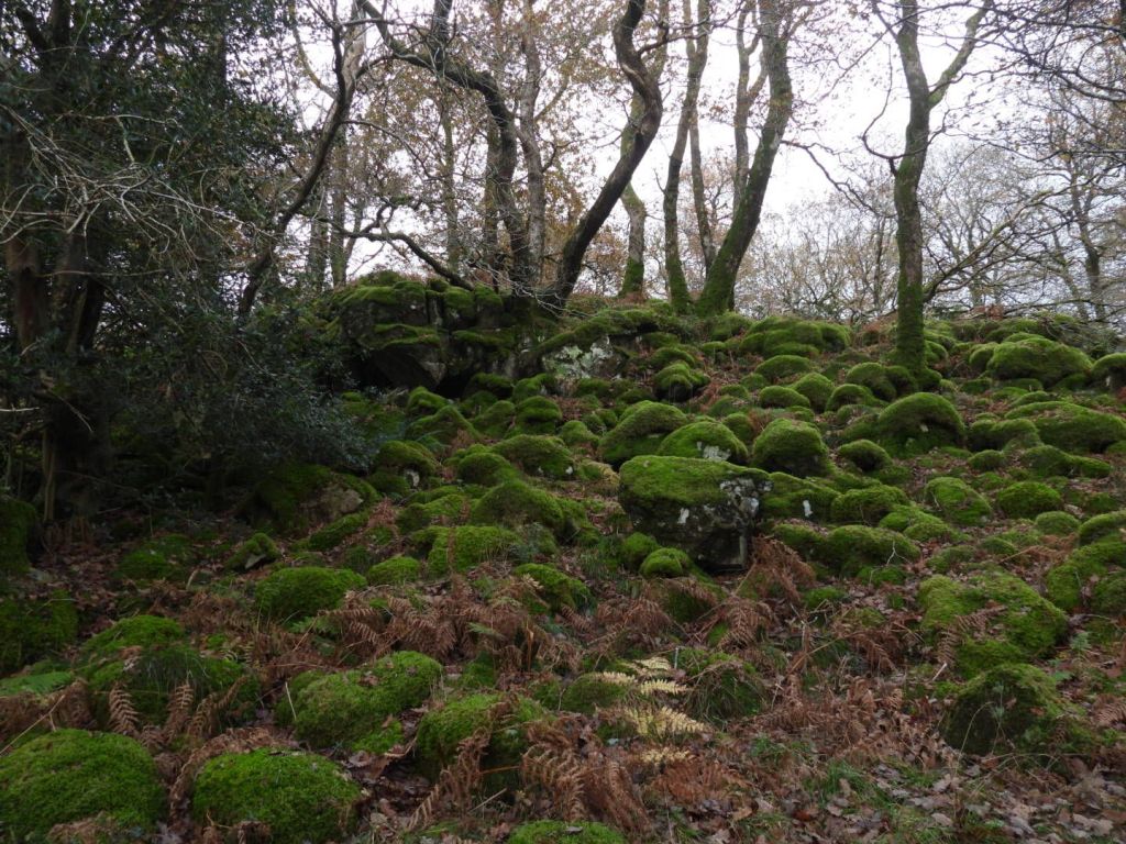
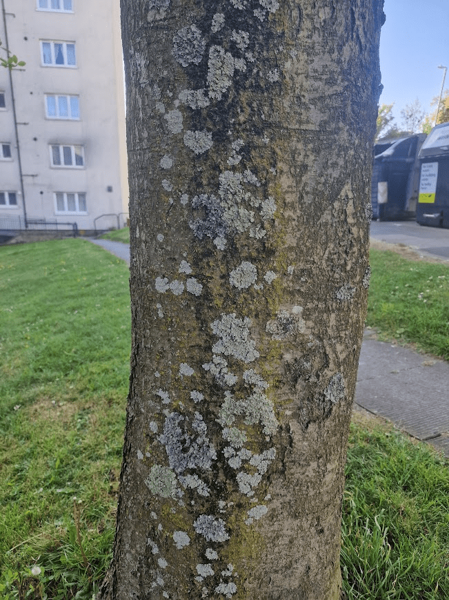
When you look at the records of lichens the British Lichen Society holds for Sussex the vast majority come from countryside locations (woods, parks etc.) or churches; none come from trees in towns and cities. But its worth surveying urban trees, as lichens are abundant on the trunks of them, and rare lichens can be found on them
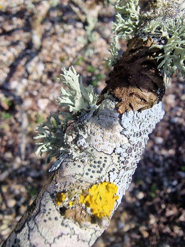
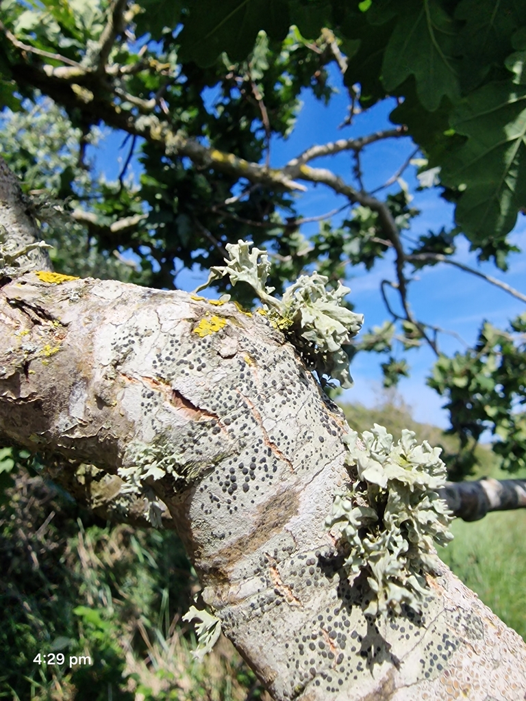
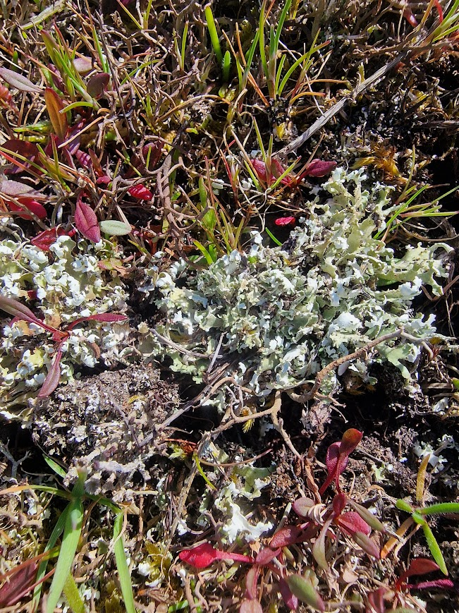
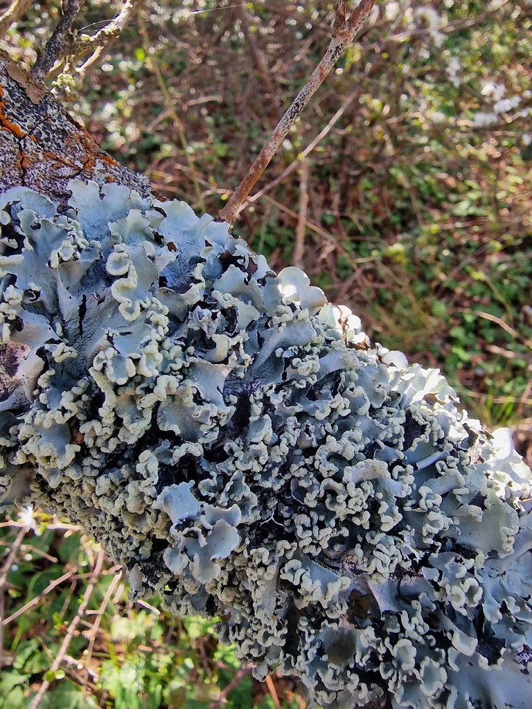
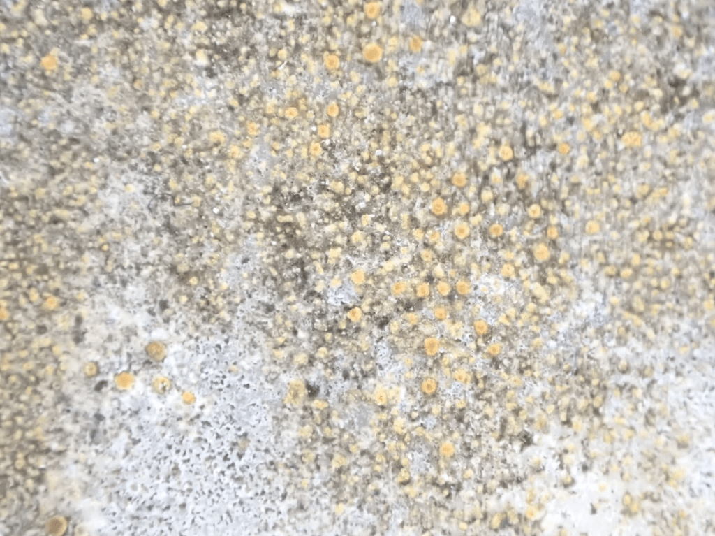
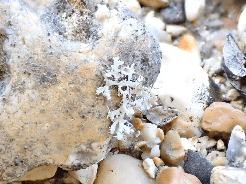
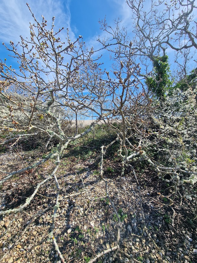
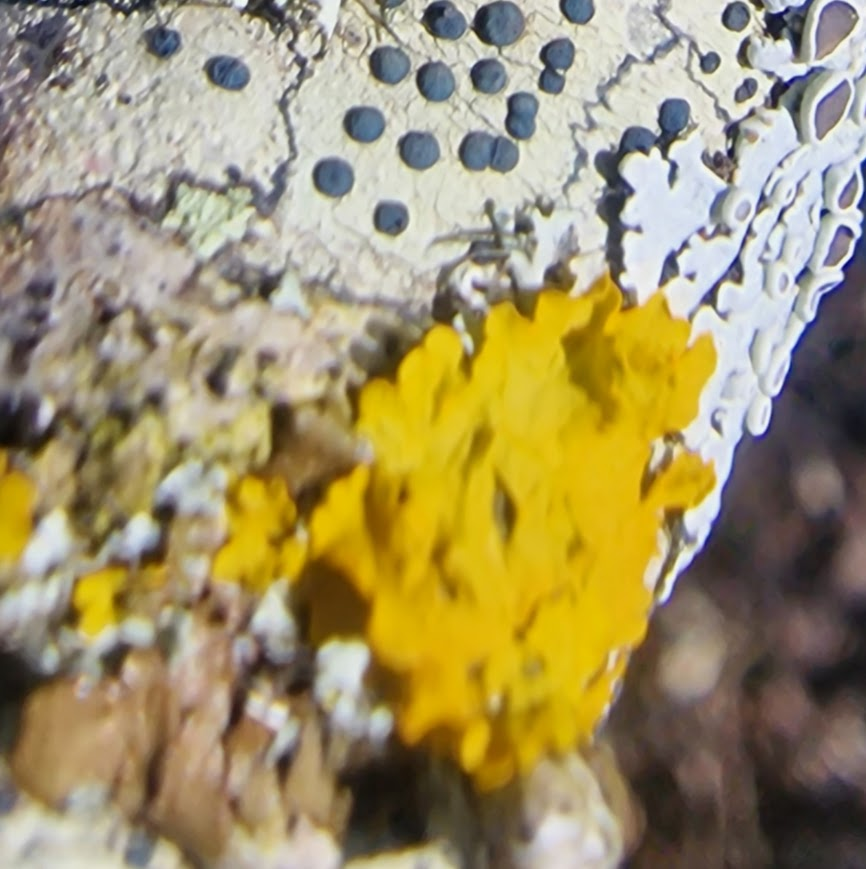
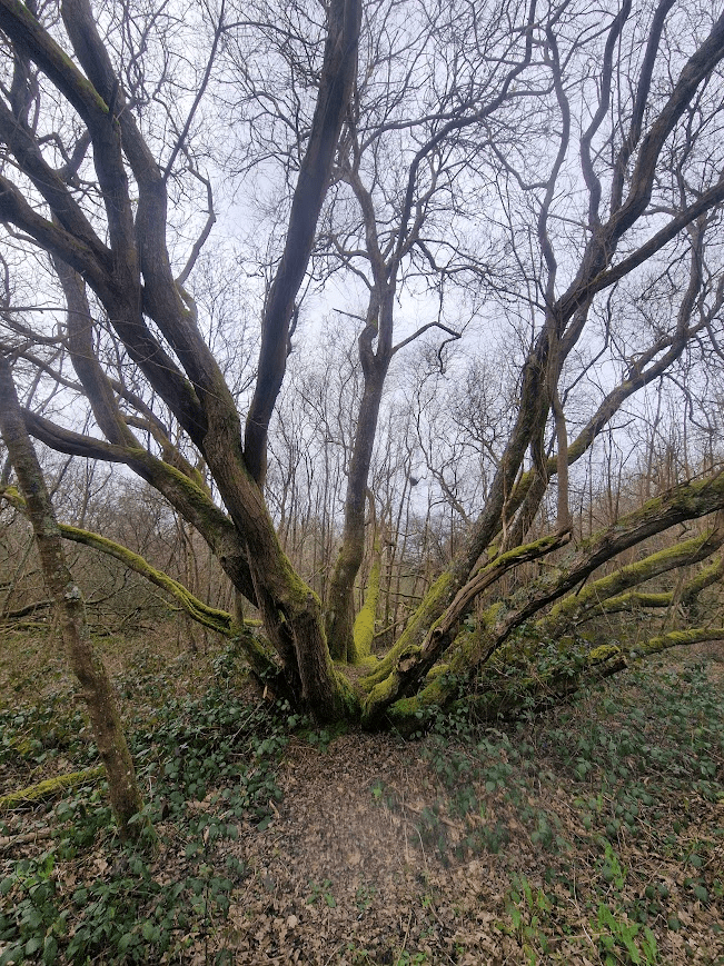
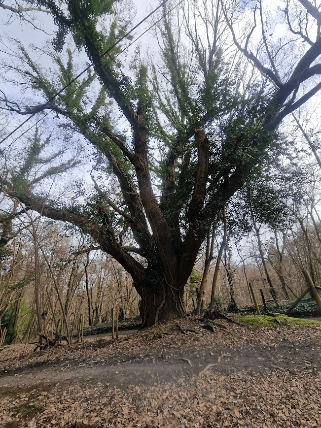
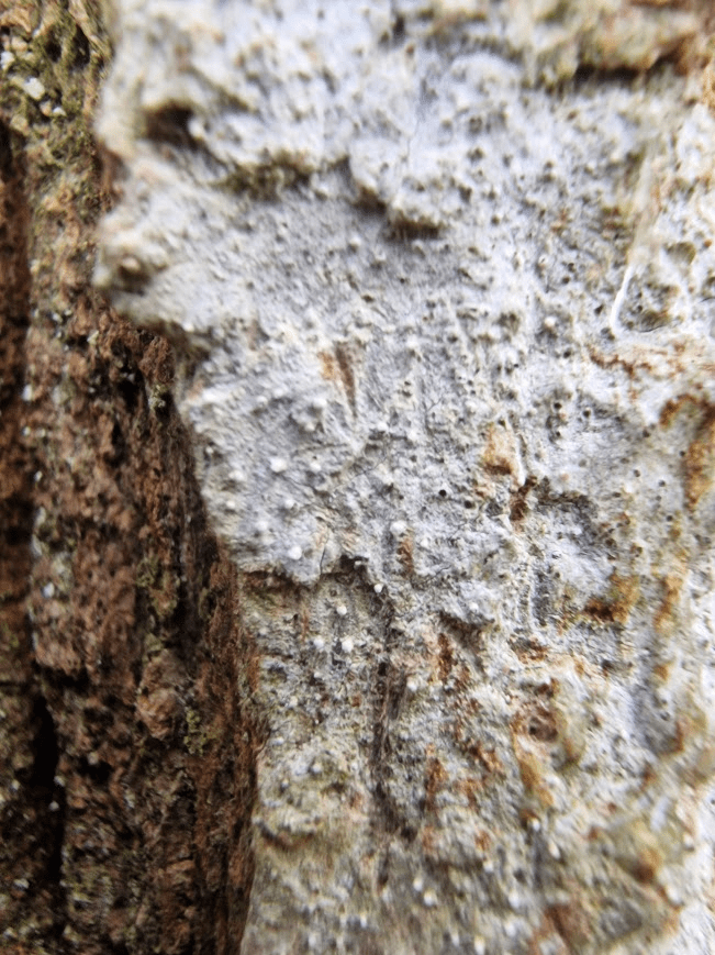
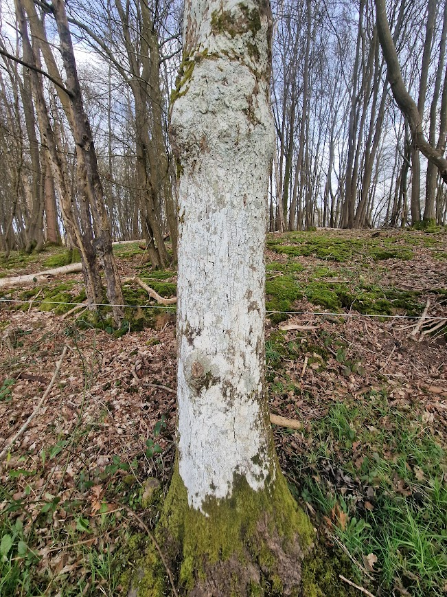
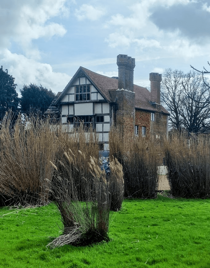
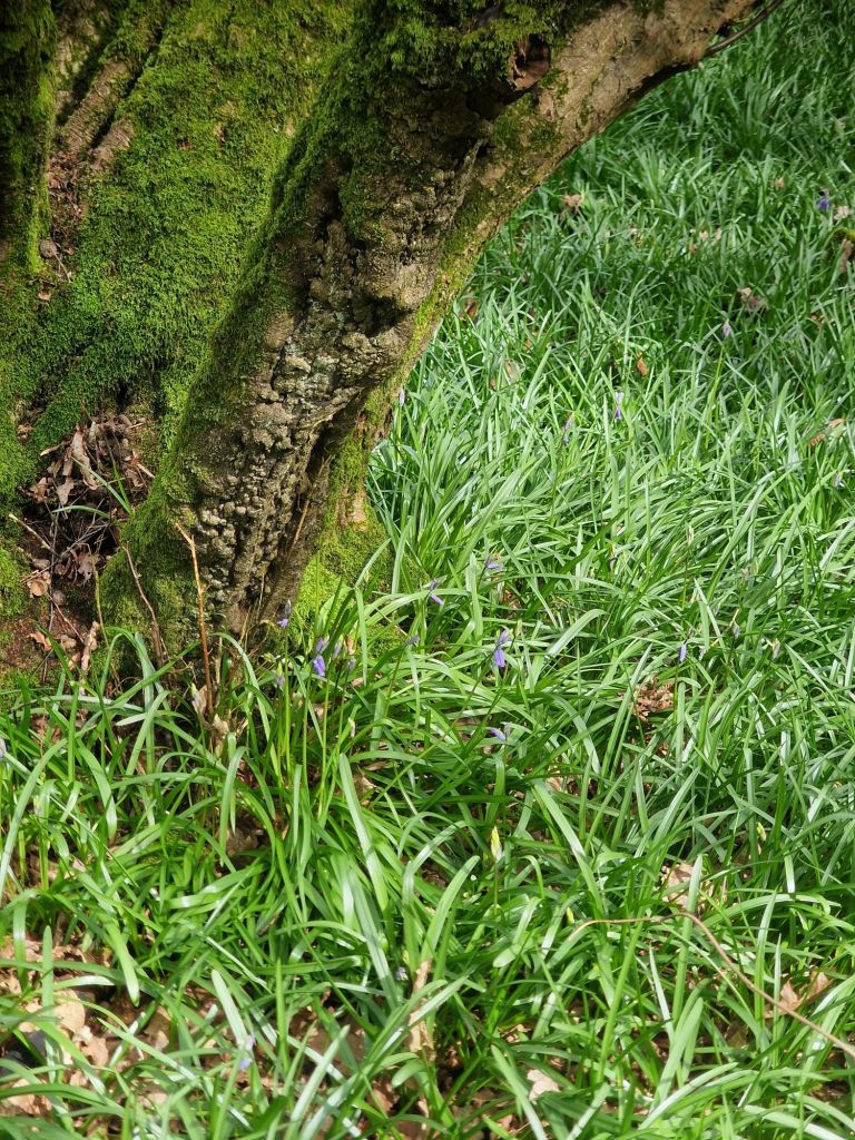
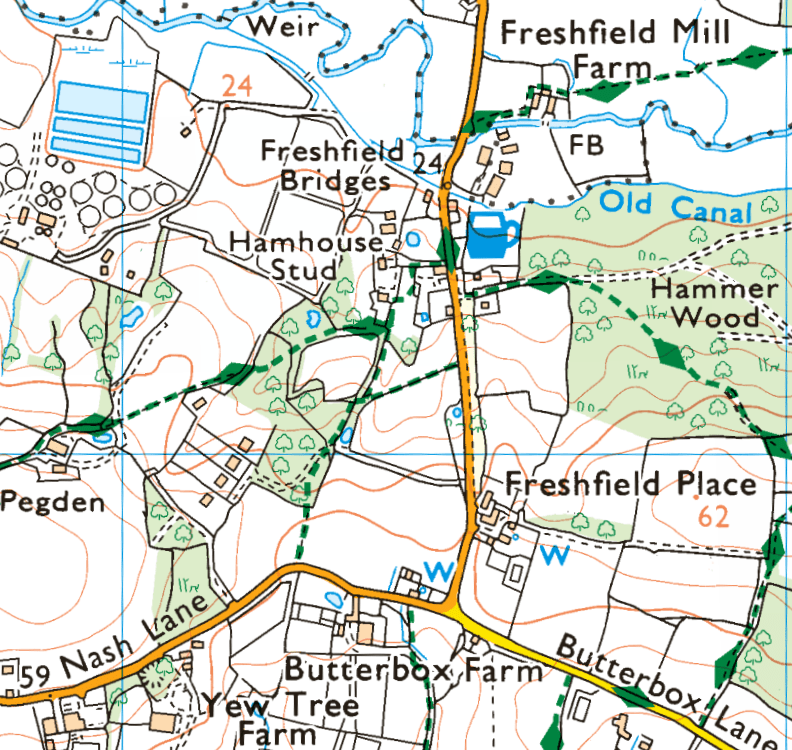
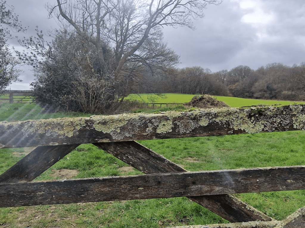
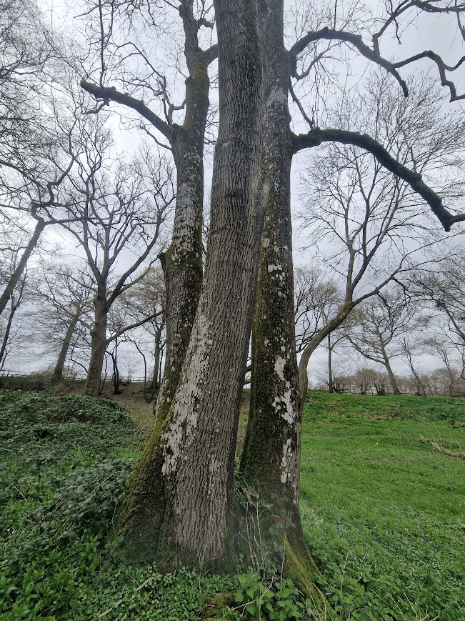
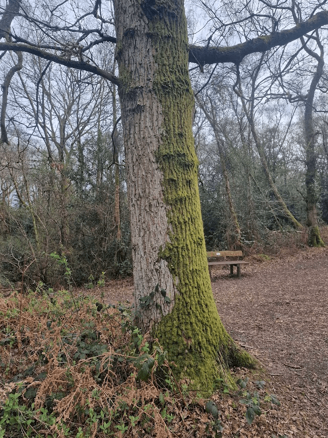
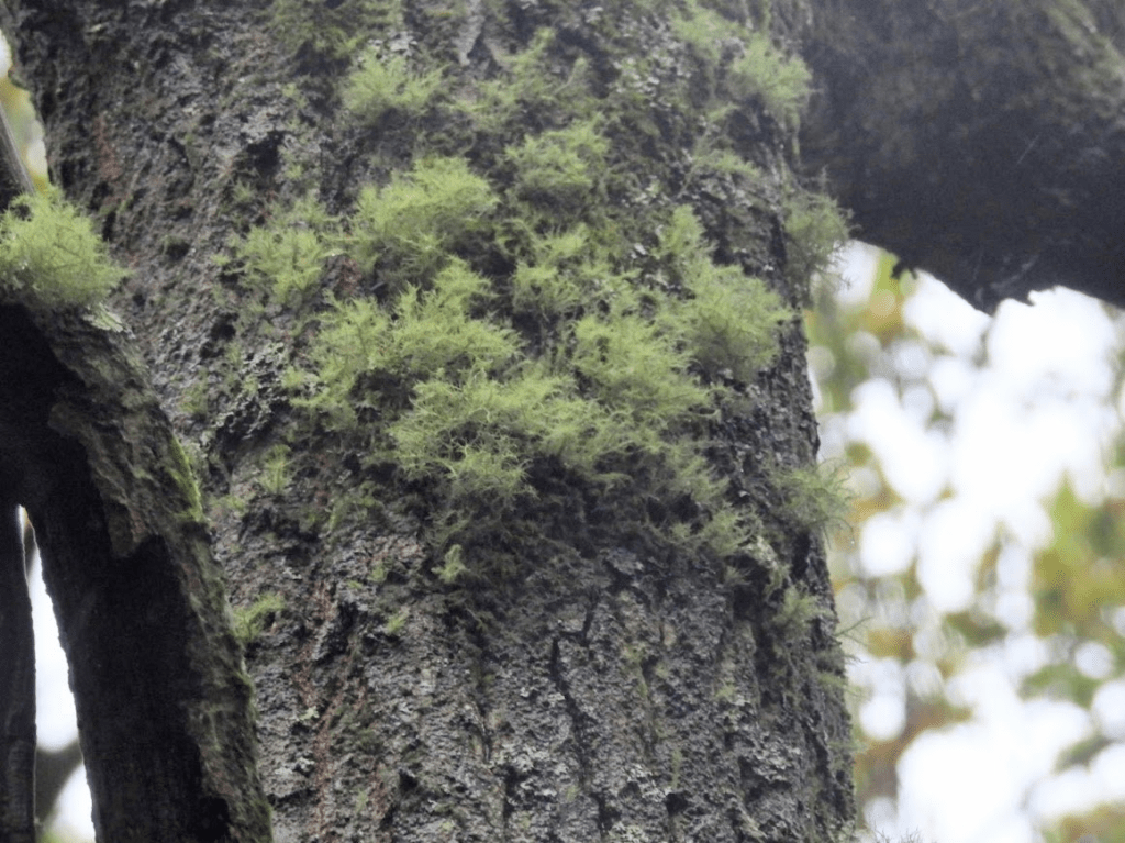
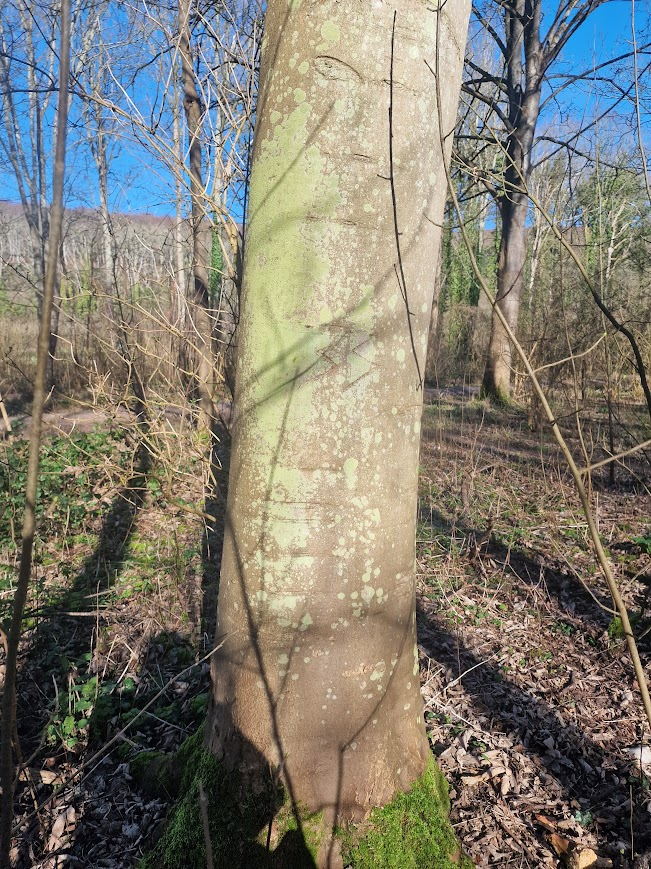
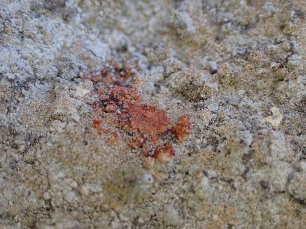
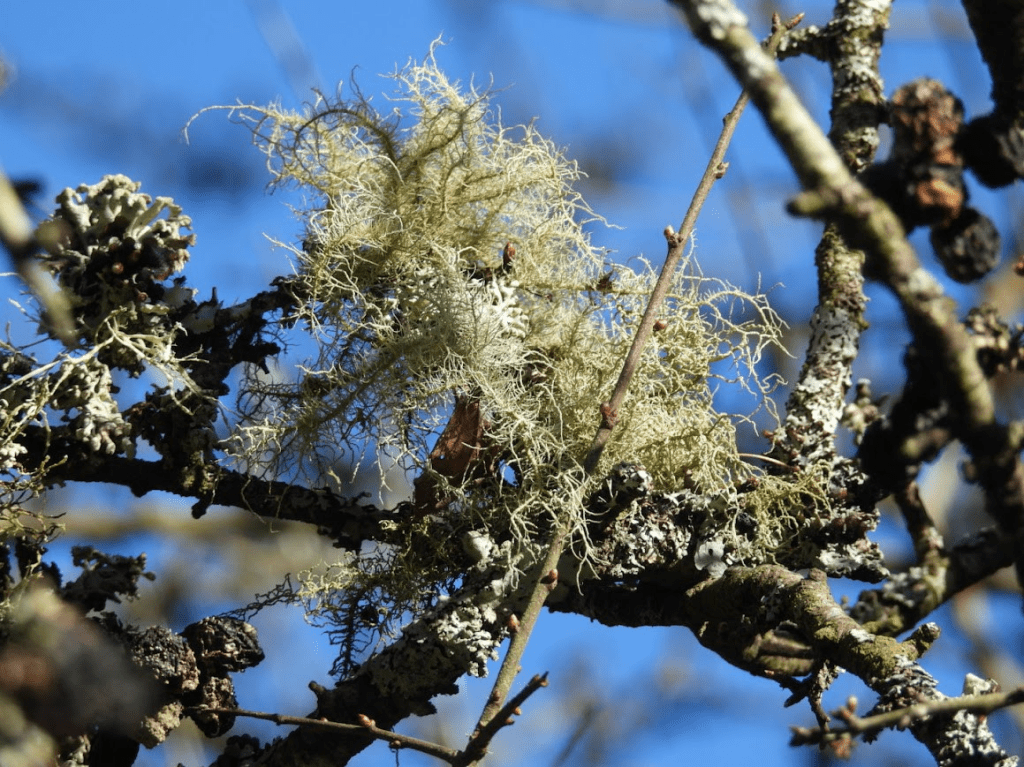
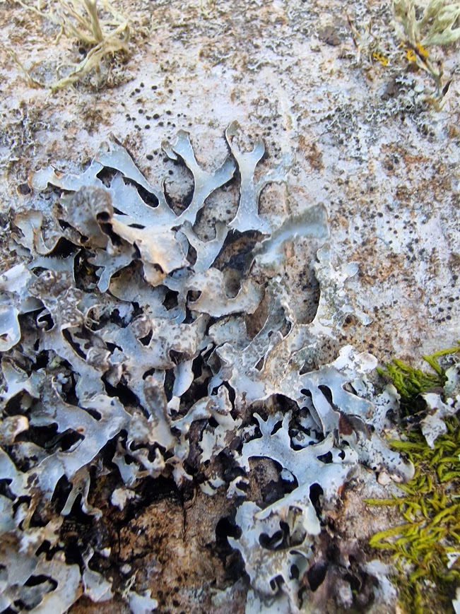
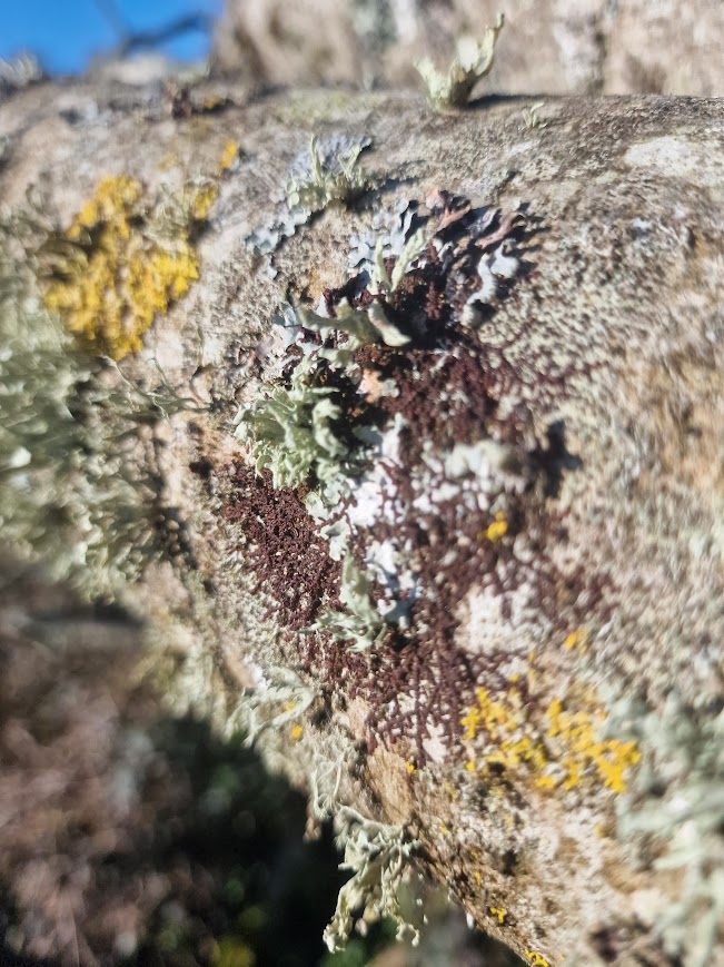
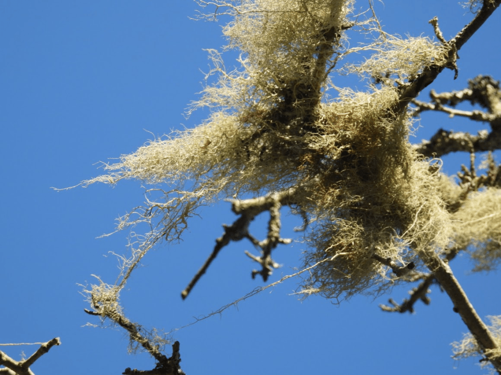
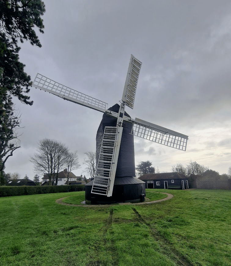
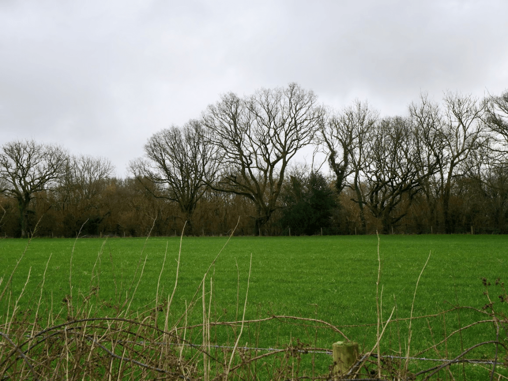
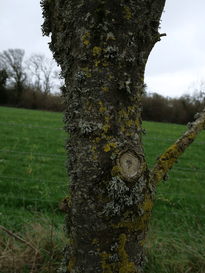
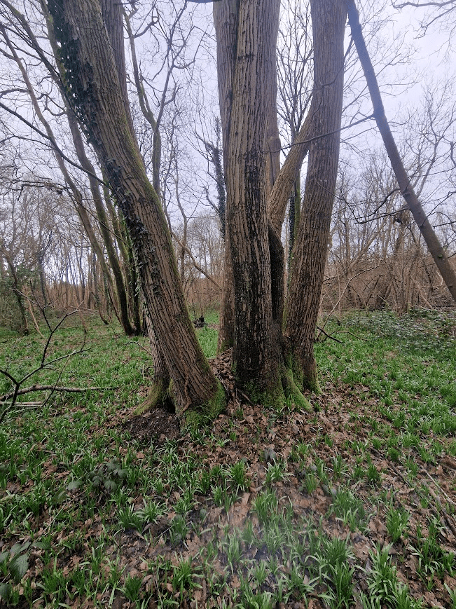
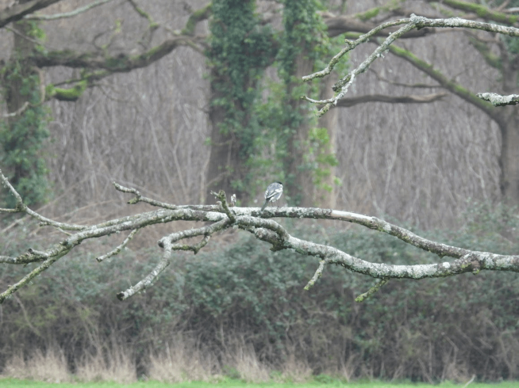
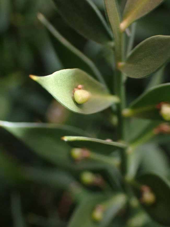
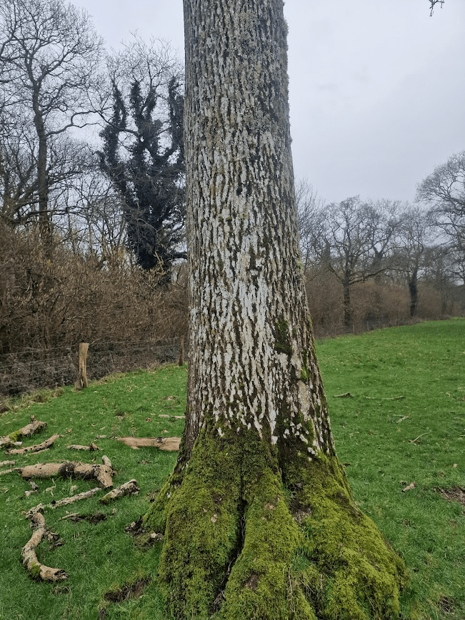
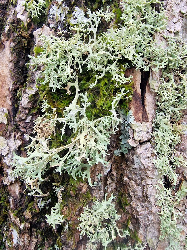
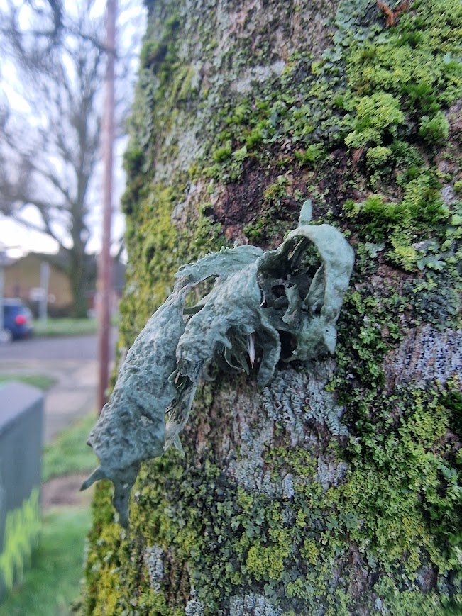
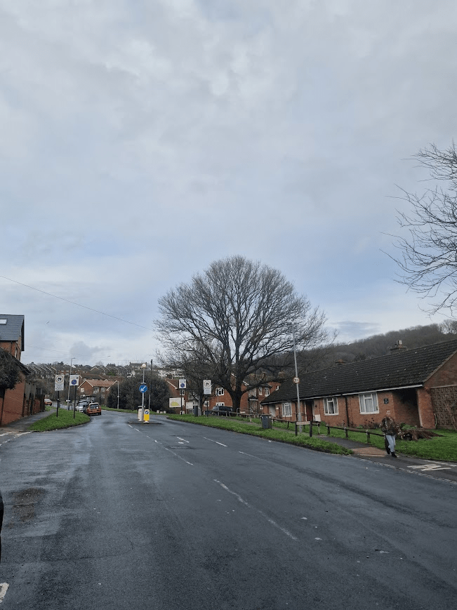
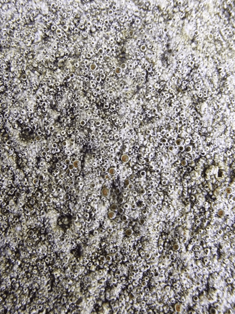
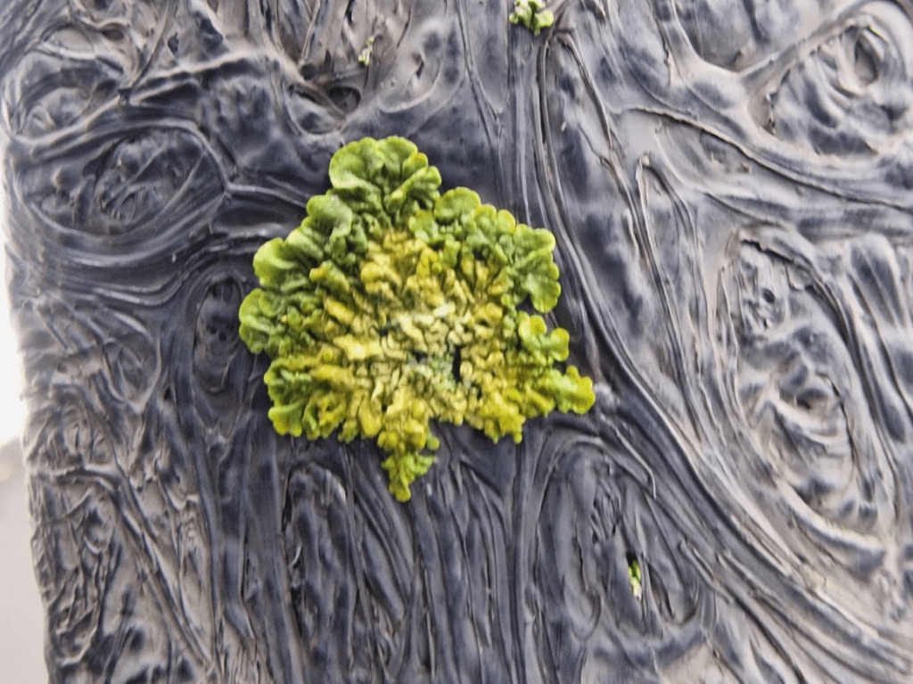
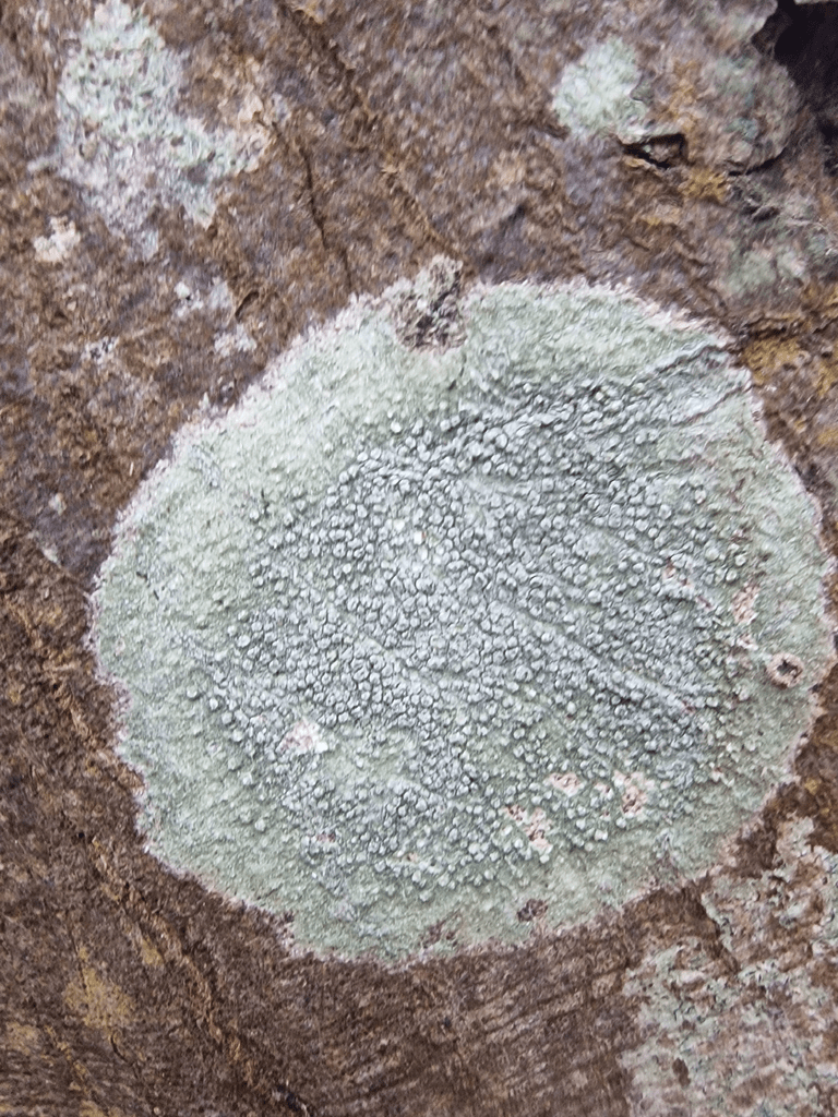
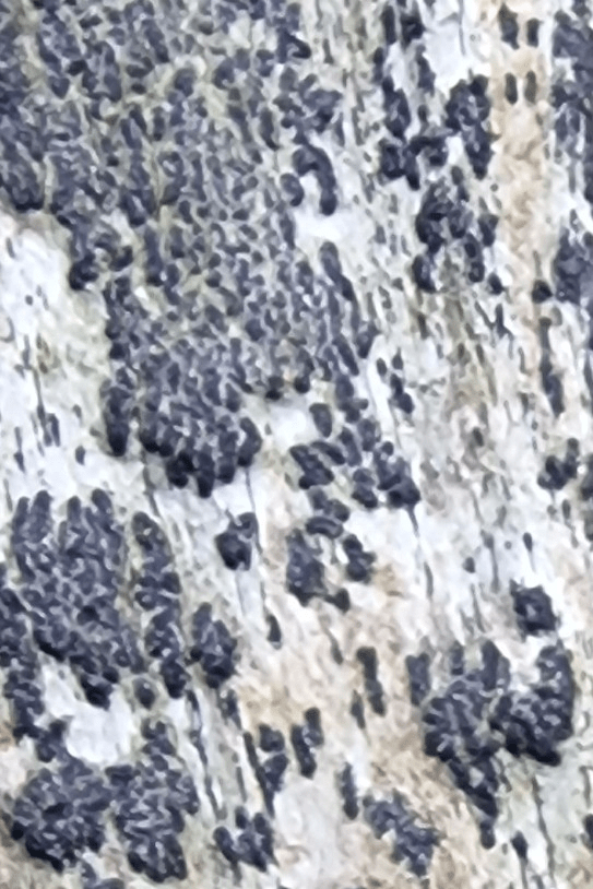
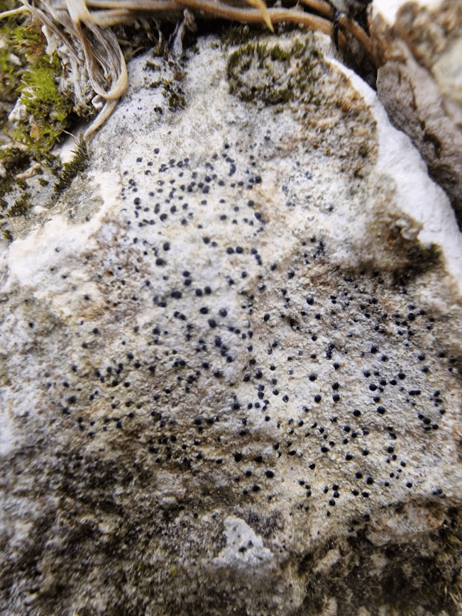
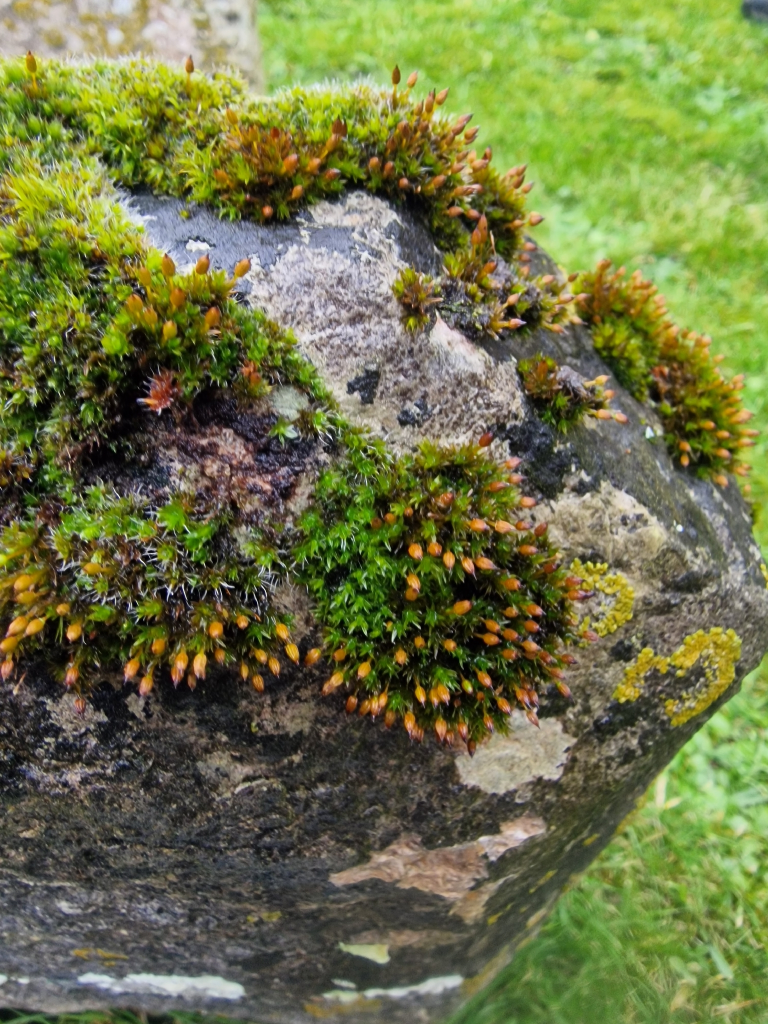
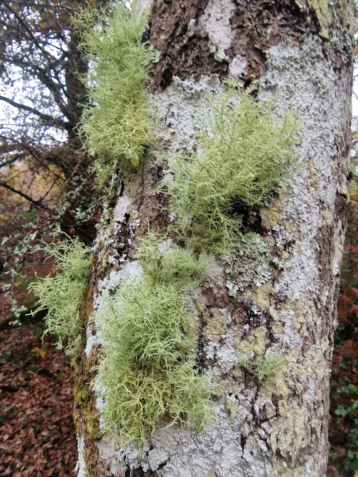
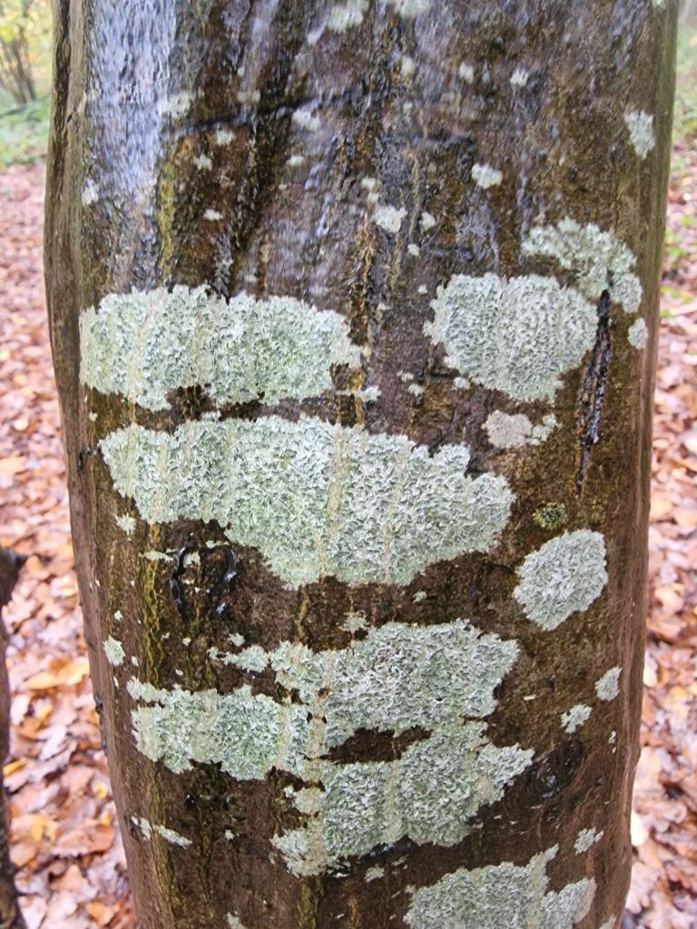
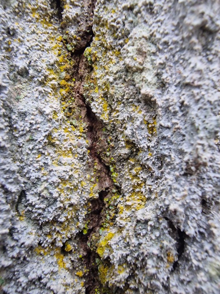
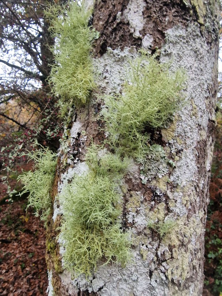
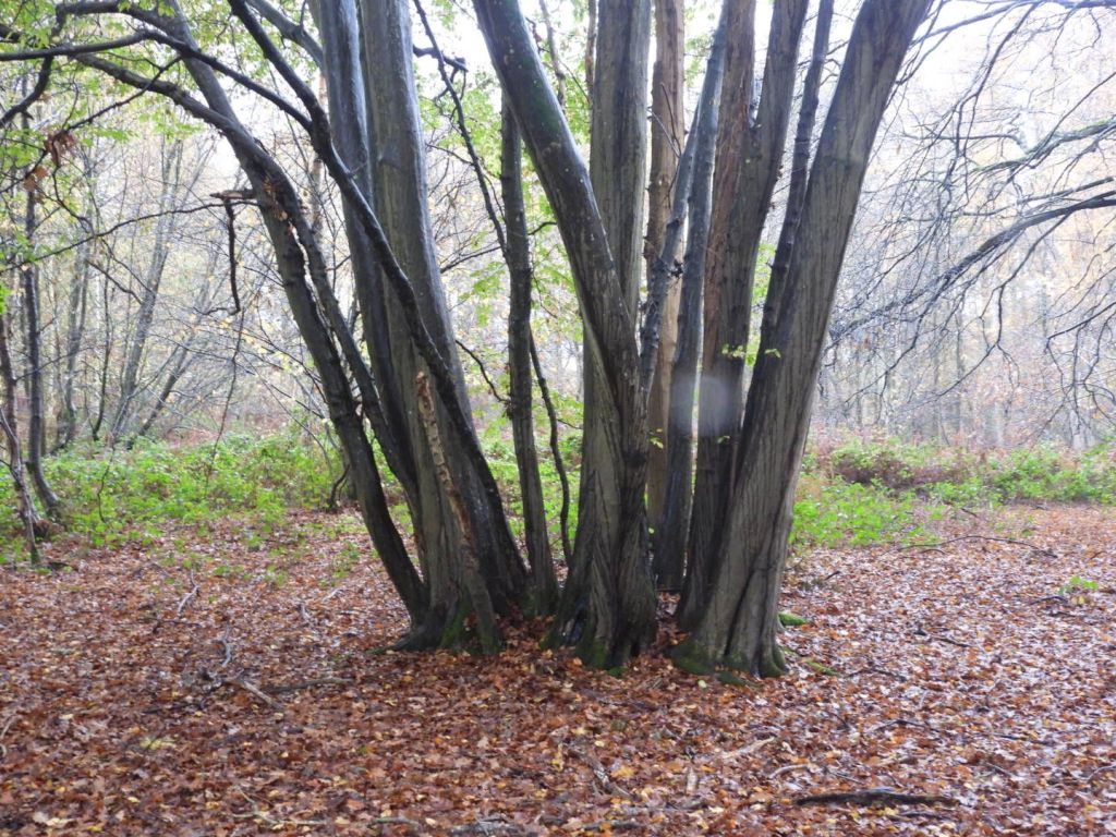
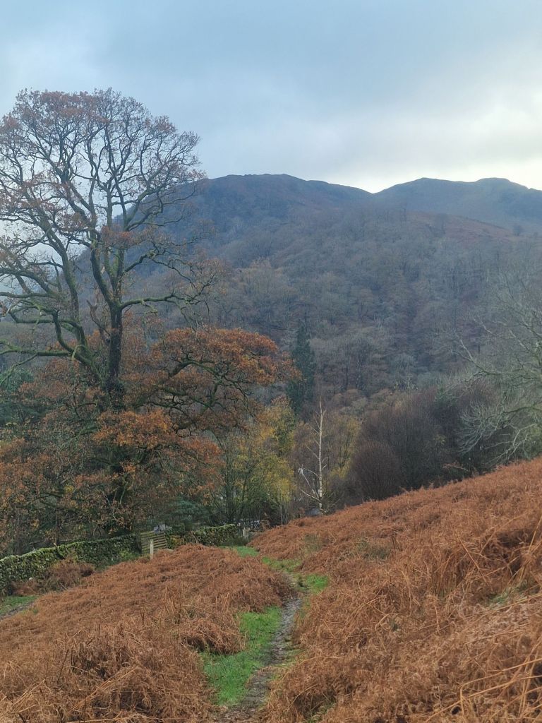
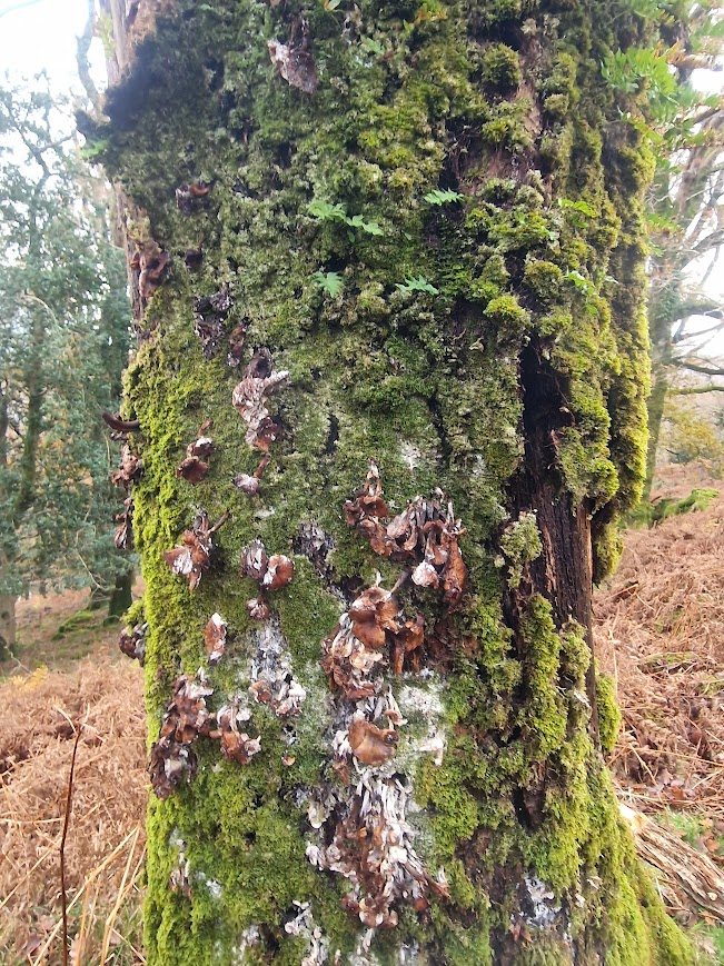
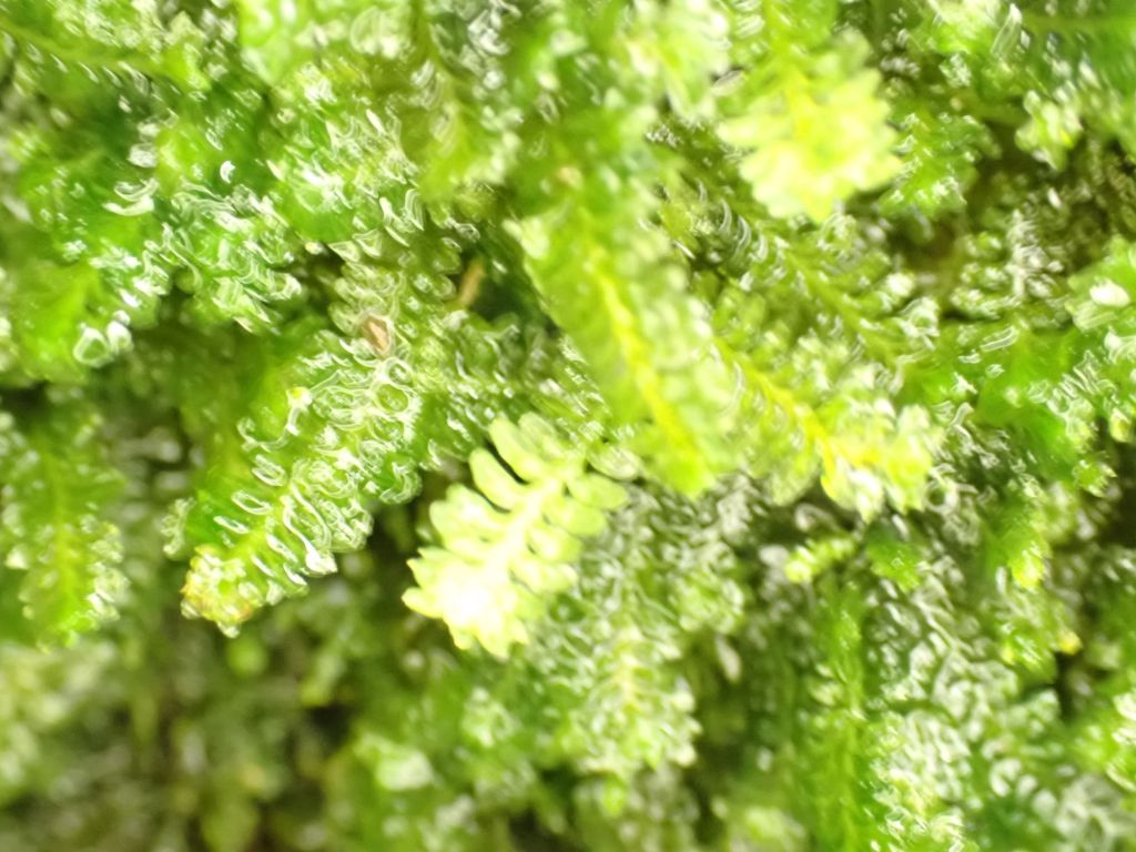
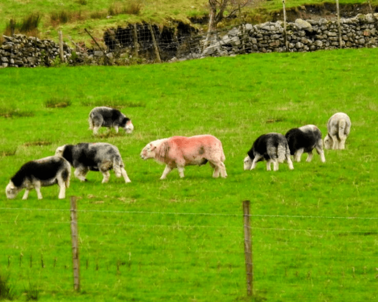
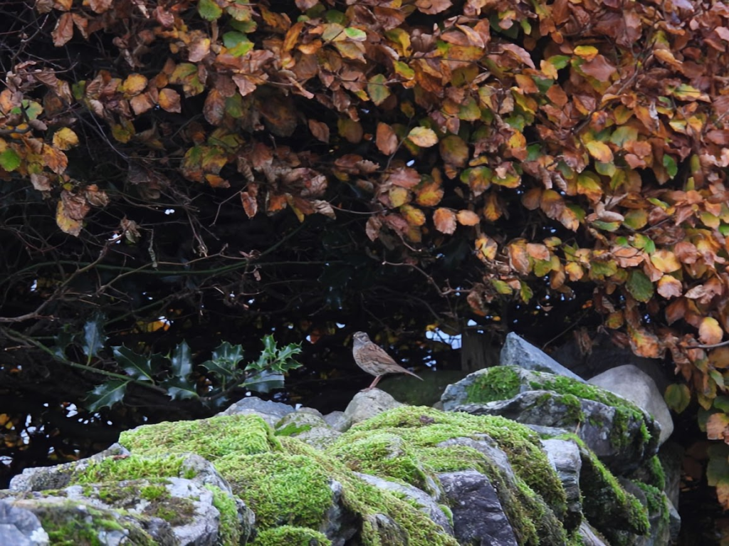
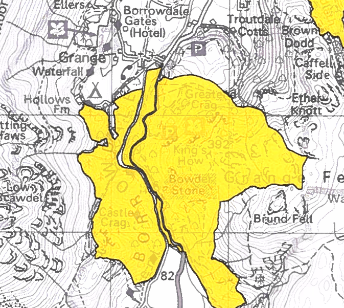
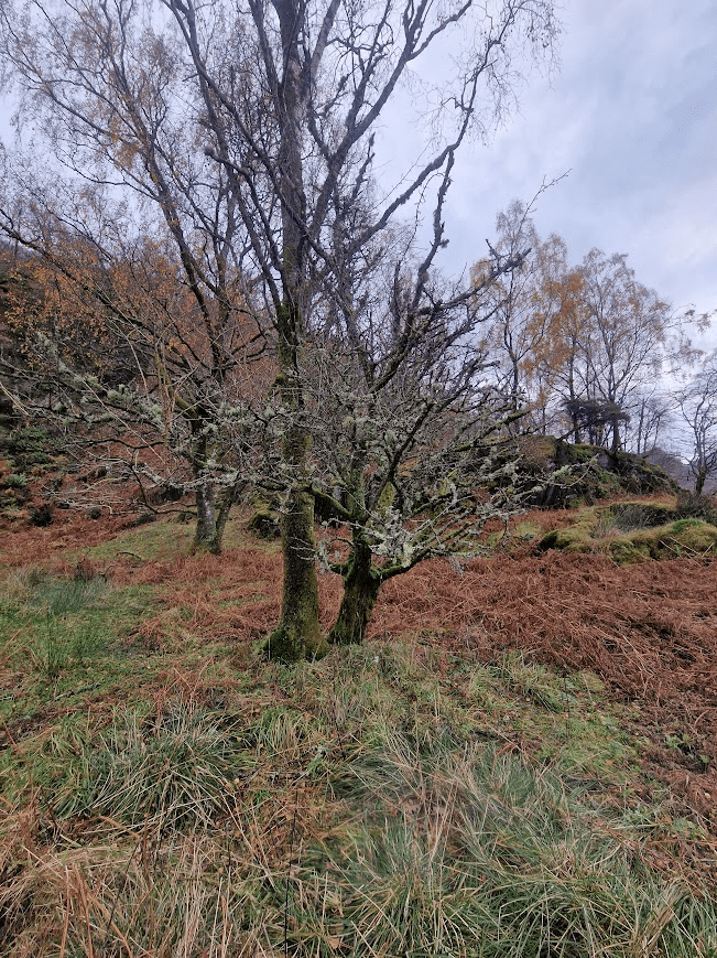
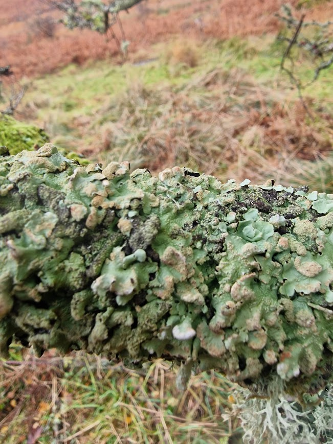
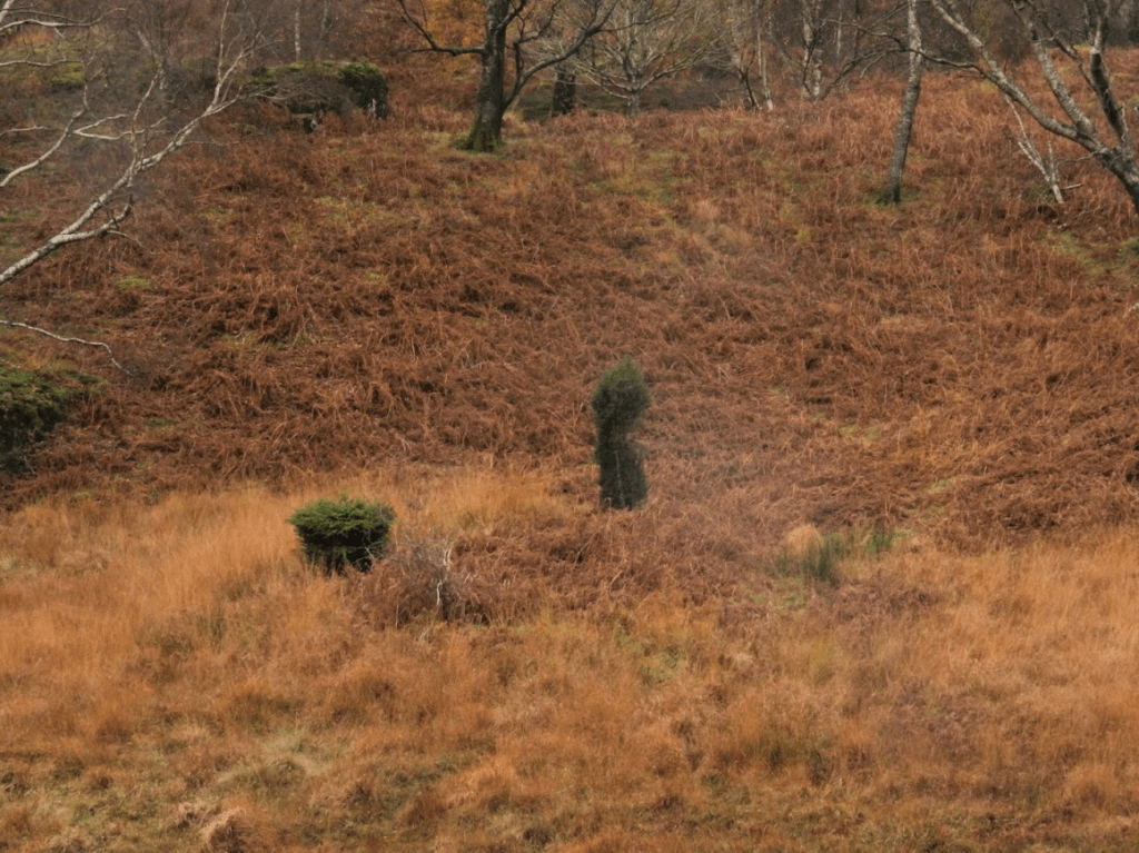
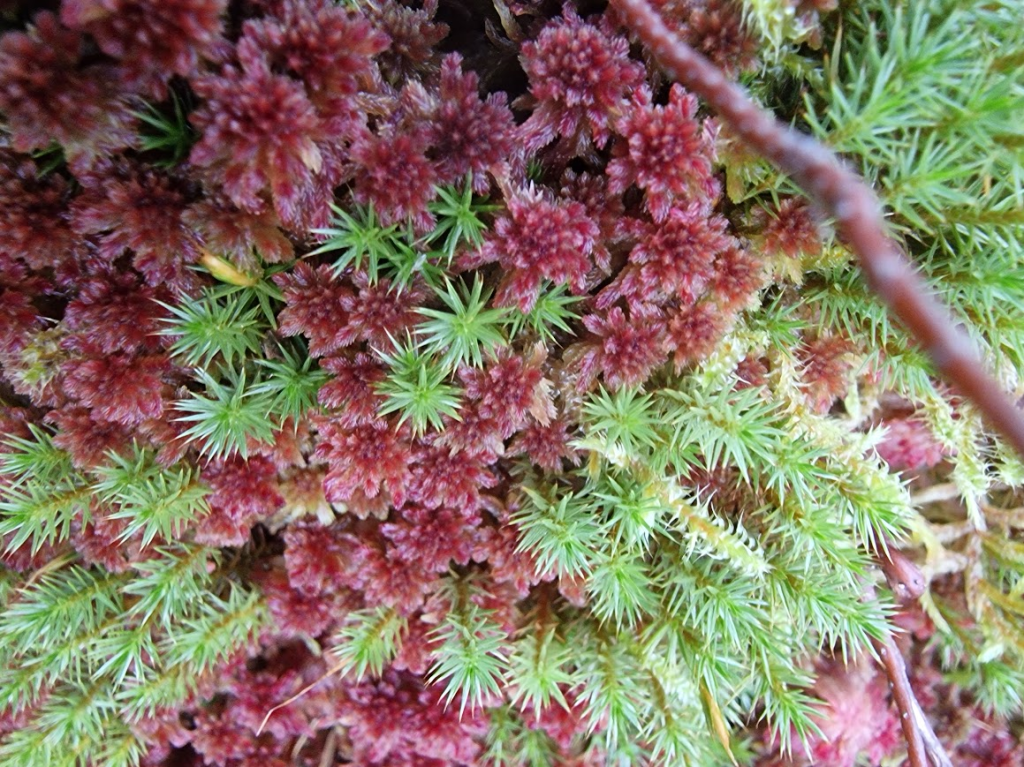
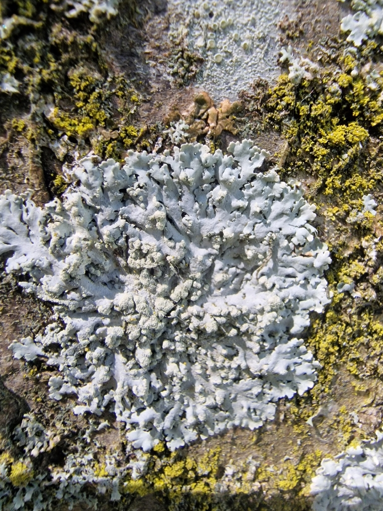
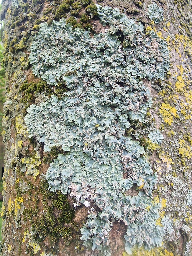
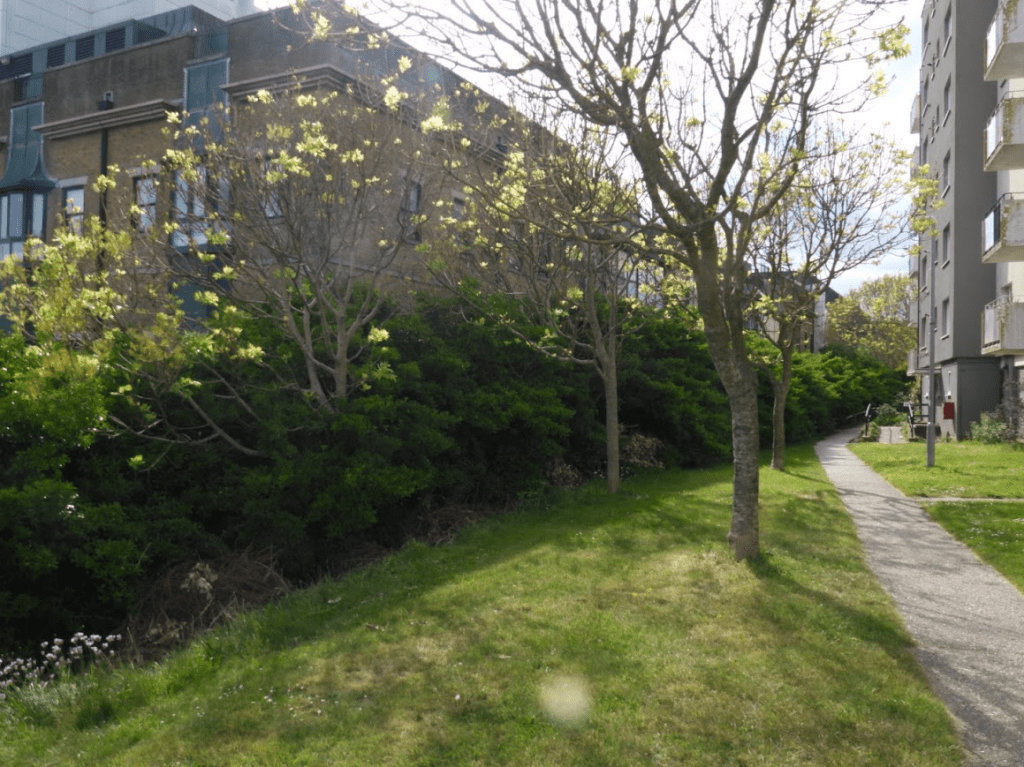
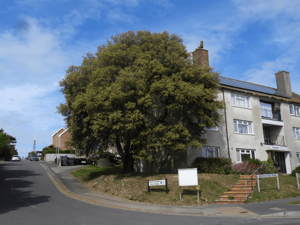
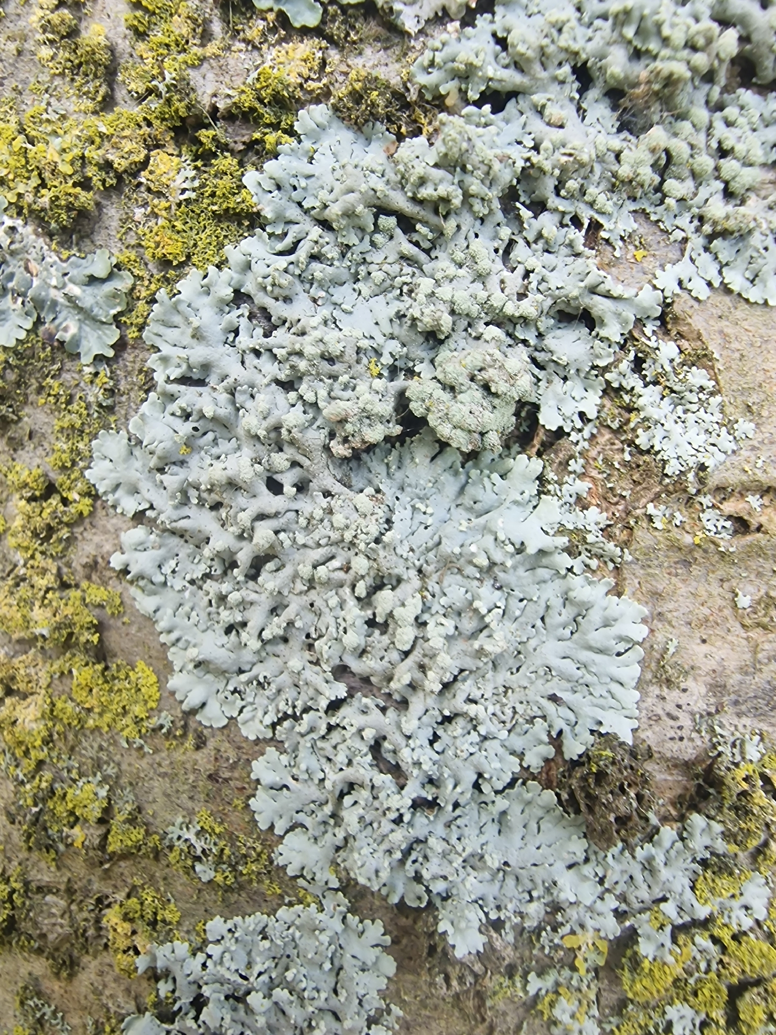
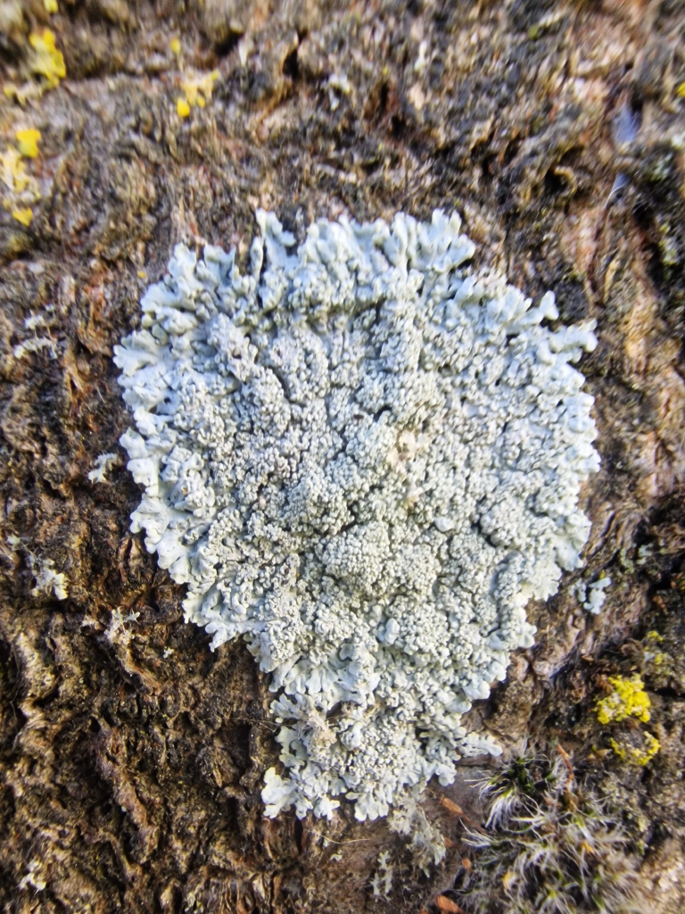
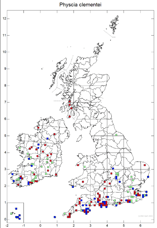
The trunk of a Swedish Whitebeam in Donald Hall Road, Bristol Estate (social housing) with lichens, including the rare Physcia tribacioides
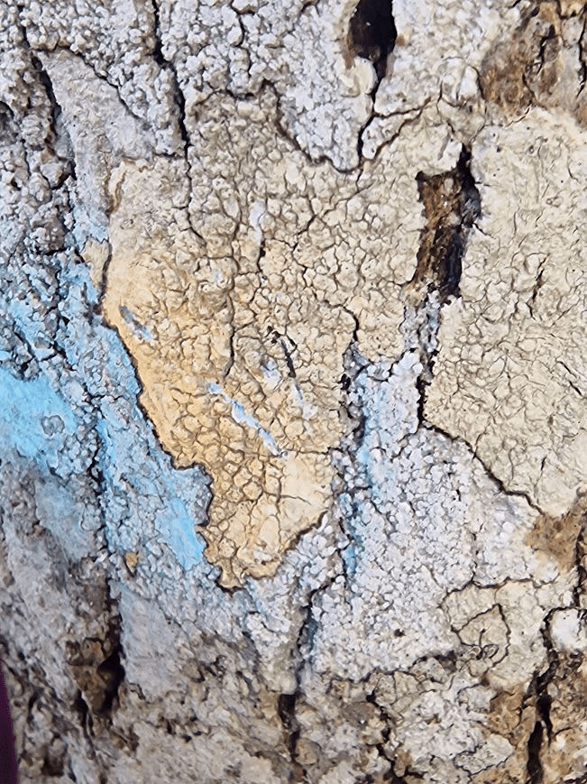
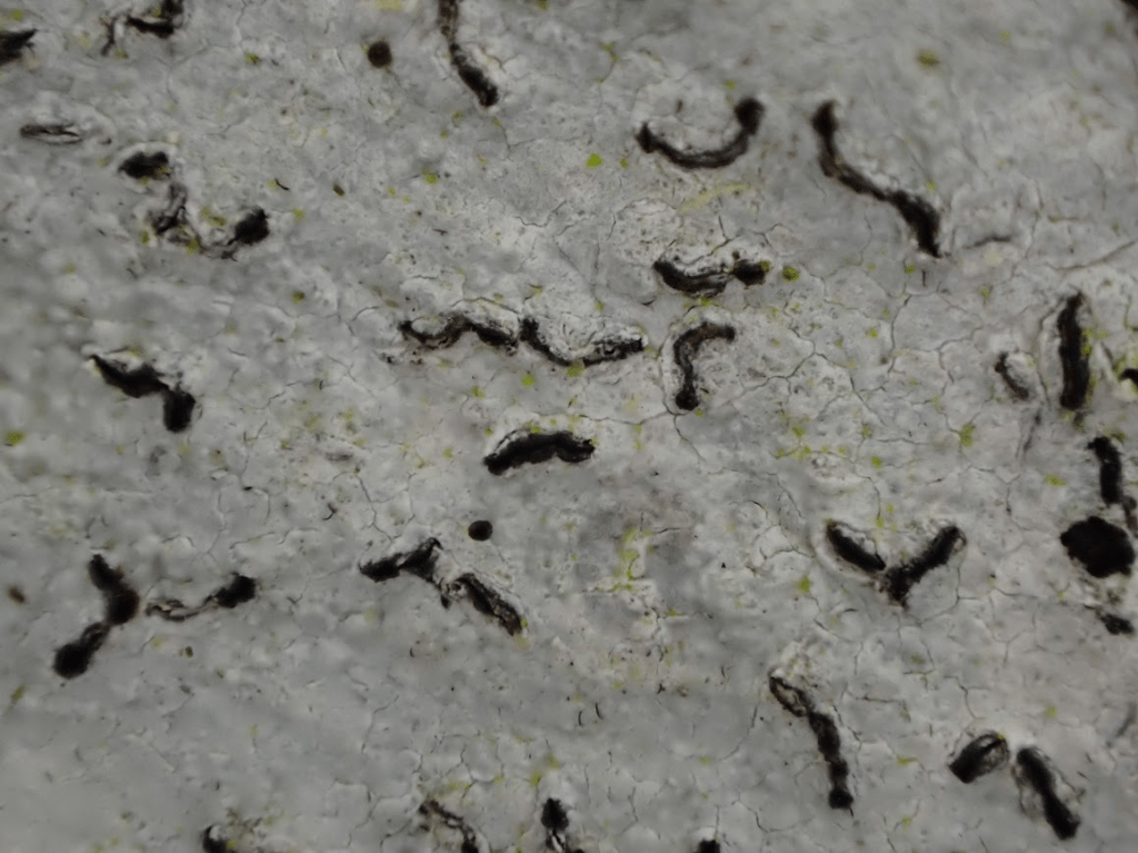
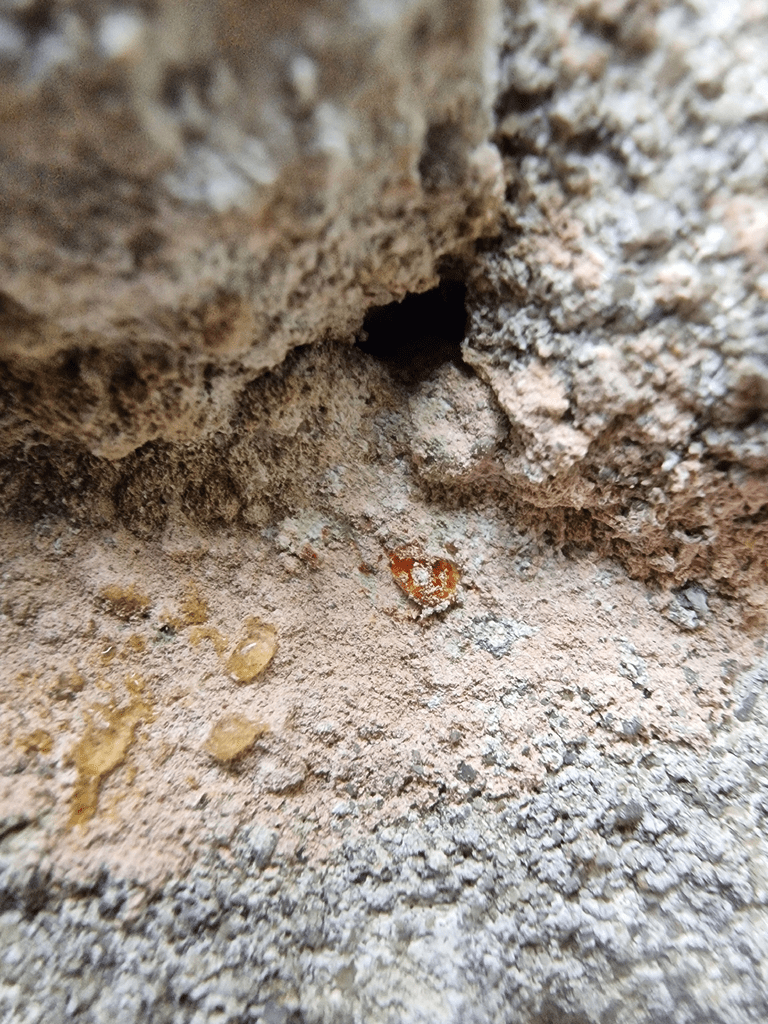
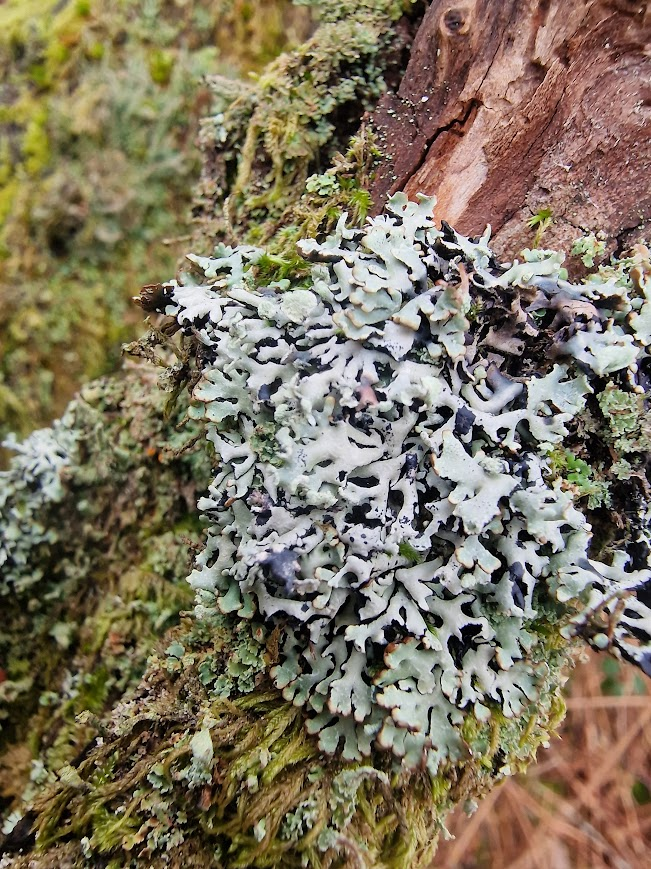
Physcia tribacioides on this tree
An urban forest includes all trees and shrubs within the parks, gardens, streets, woodland and open spaces of a town or city as well as the wildlife living amongst them. This also includes any trees that are planted on land belonging to private landowners, institutions, and local authorities.
Urban forest data, covering trees in public/private urban spaces, reveals that UK canopy cover averages ~17% What is the urban forest? – Forest Research
Total tree canopy cover in rural Great Britain is approximately 16.7%, including both established woodlands and scattered trees. England’s Urban Forests – Using tree canopy cover data to secure the benefits of the urban forest – Forest Research
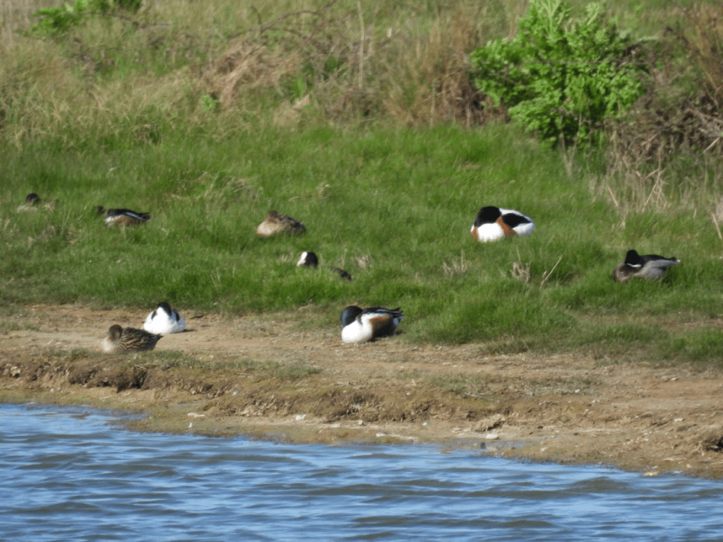
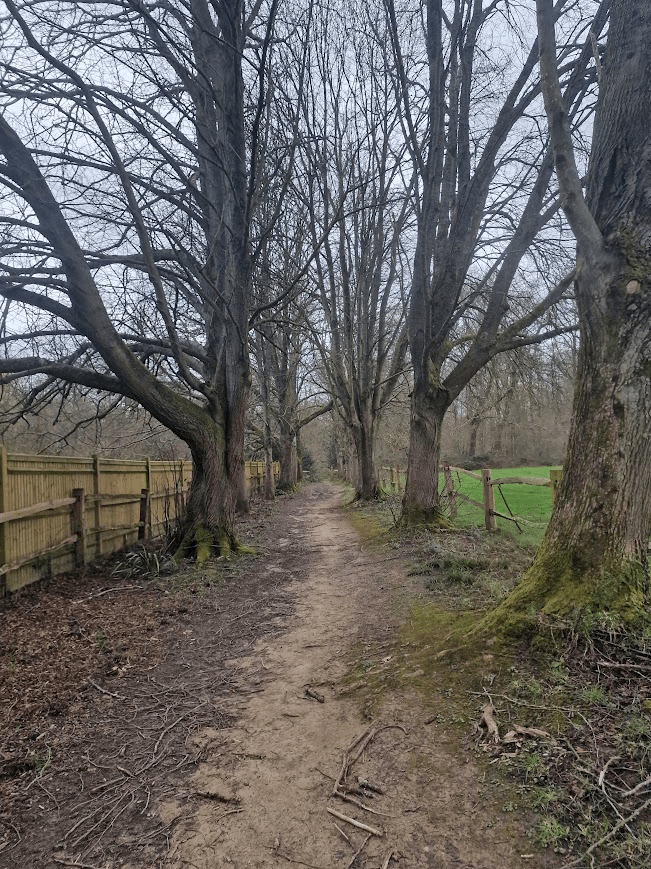
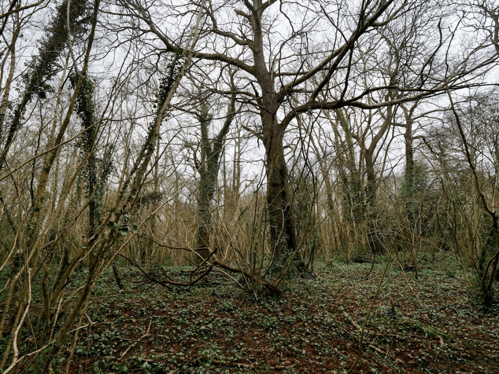
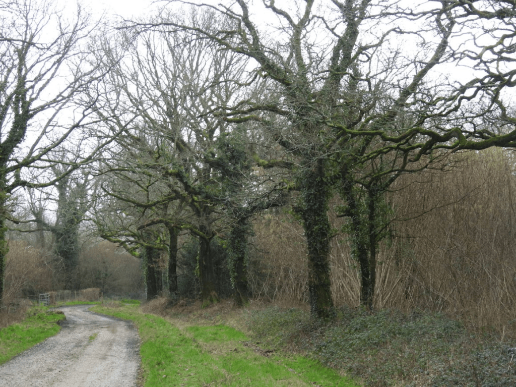
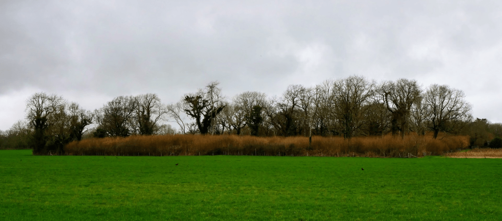
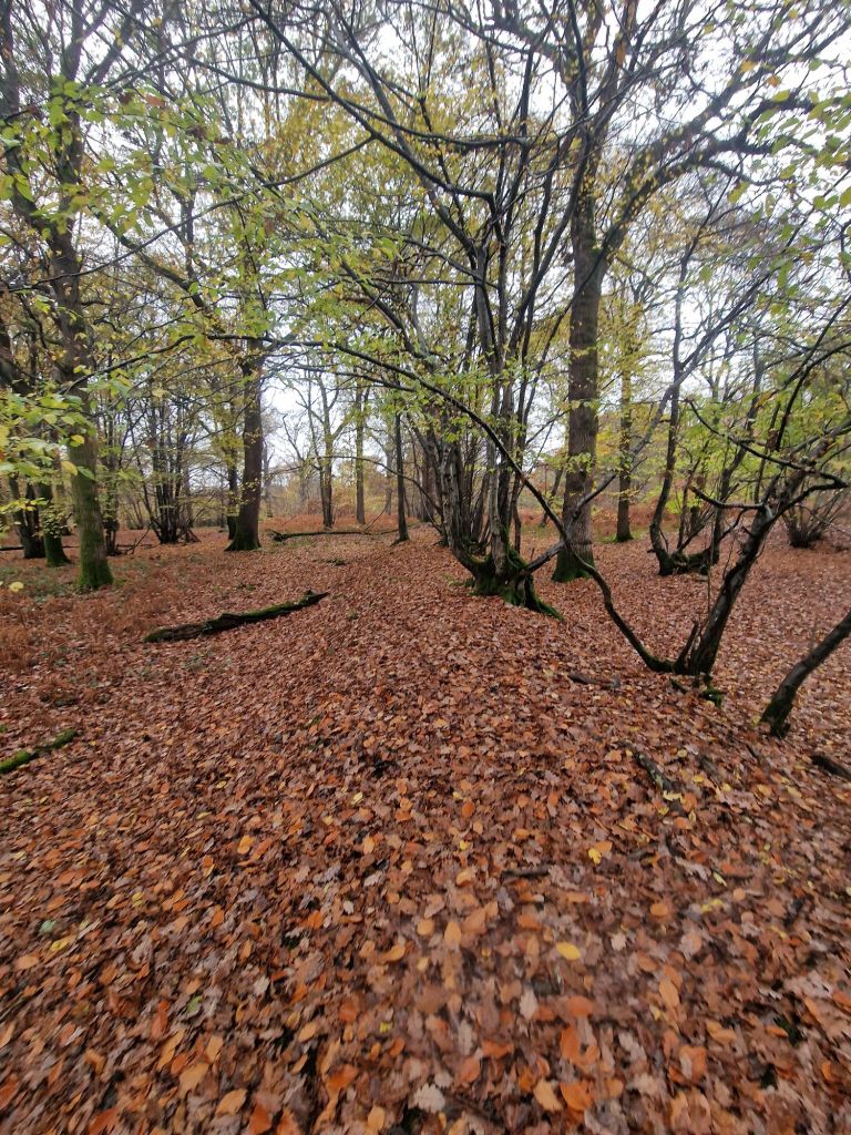
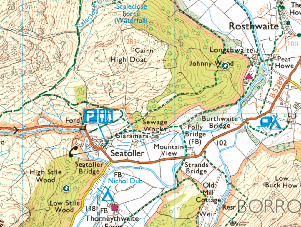
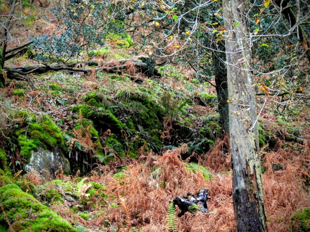
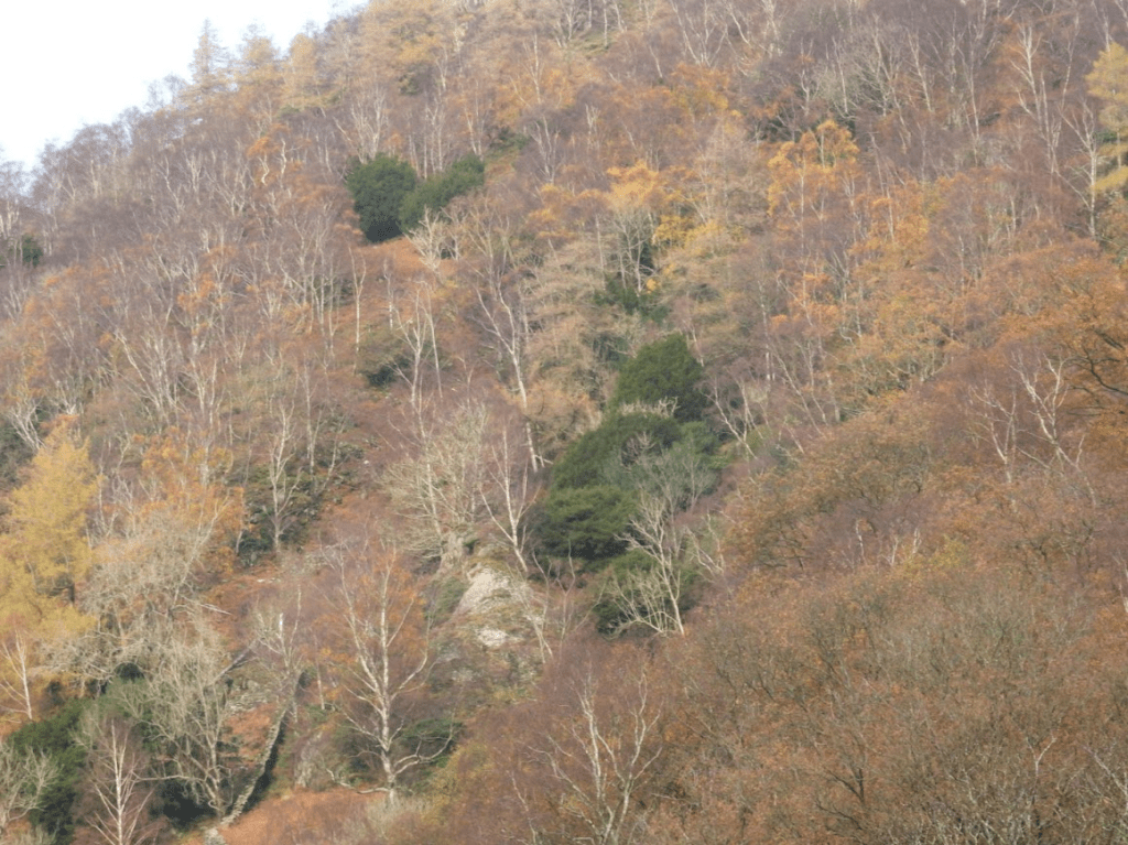
So, you are equally likely, on average, to encounter trees in urban and rural spaces; although the place you are most likely to meet trees is in a wood, be it countryside wood e.g. Plashett Wood between Lewes and Uckfield, or an urban wood like Brighton’s Stanmer Great Wood. However, in towns and cities, in roads and parks there are many trees; but almost none of these trees have been surveyed for epiphytic lichens. This brings into question the validity of statistical measures of abundance and the identification of critical species to protect (e.g. the International Union for Conservation of Nature Red lists of lichens)
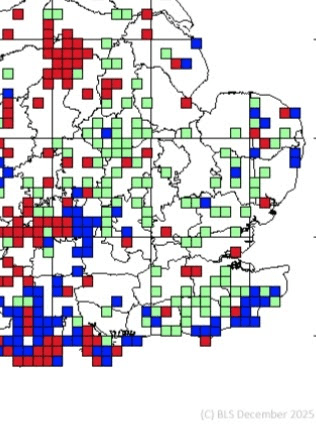
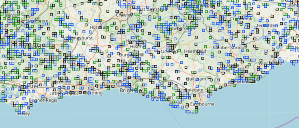
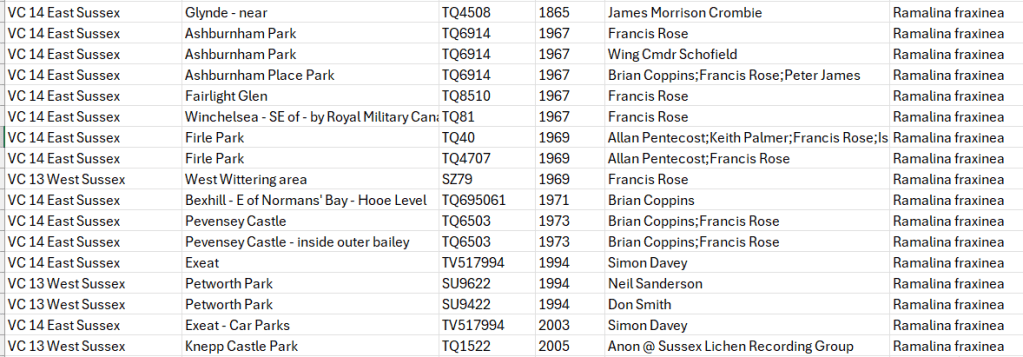
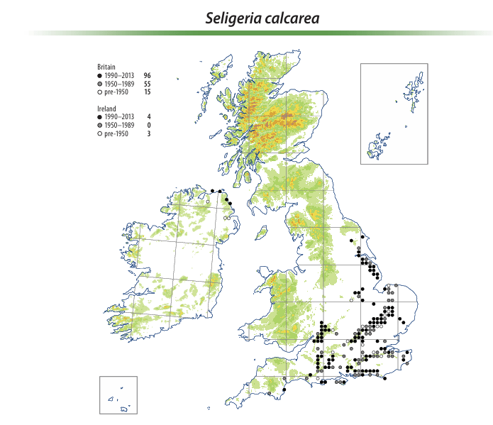
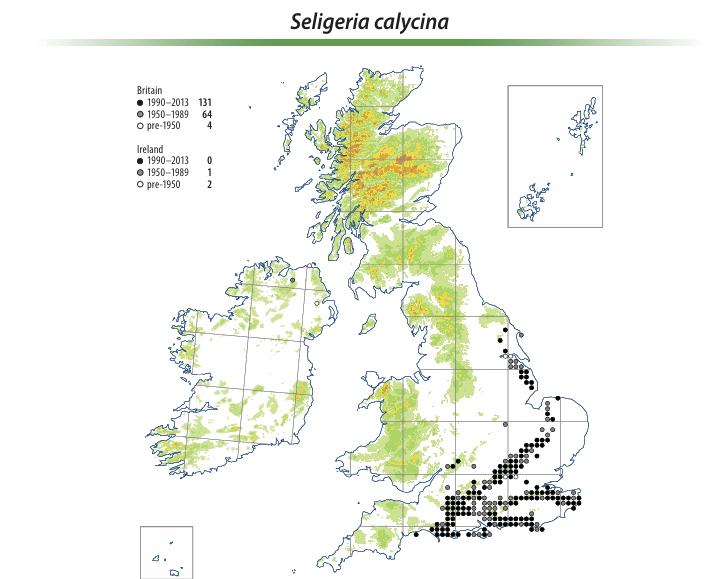
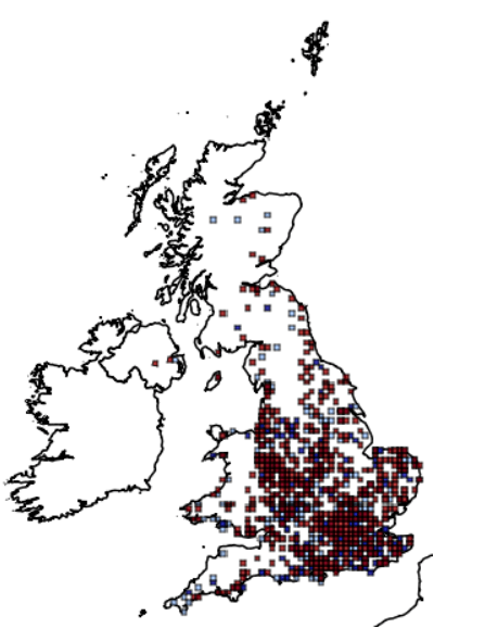
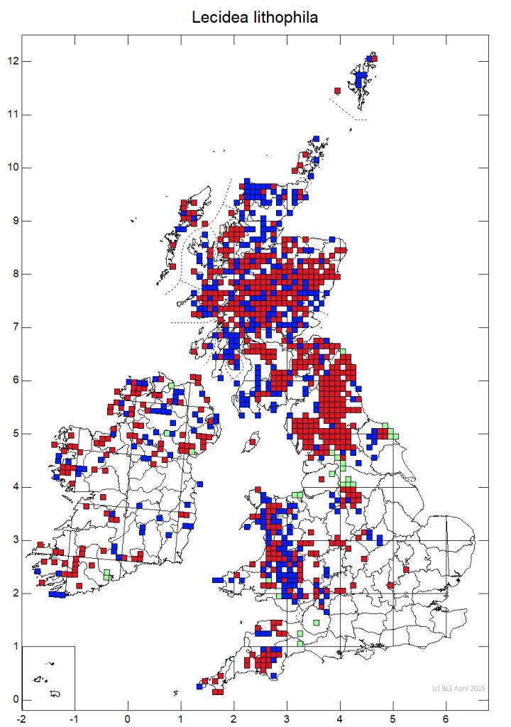
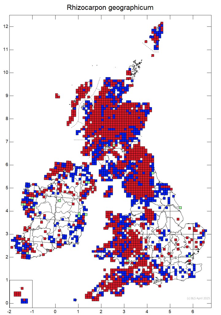
Our statistical knowledge of lichen distribution and abundance is greatly impaired by sampling bias; the dislike of walking around urban areas to look at lichens. Even with countryside lichens there are very few recent observations of lichens in Sussex. The map below is from the British Lichen All species interactive map; only monads (1km x 1km squares) with boxes have some lichen records; many monads have no lichen records
All species interactive map | The British Lichen Society
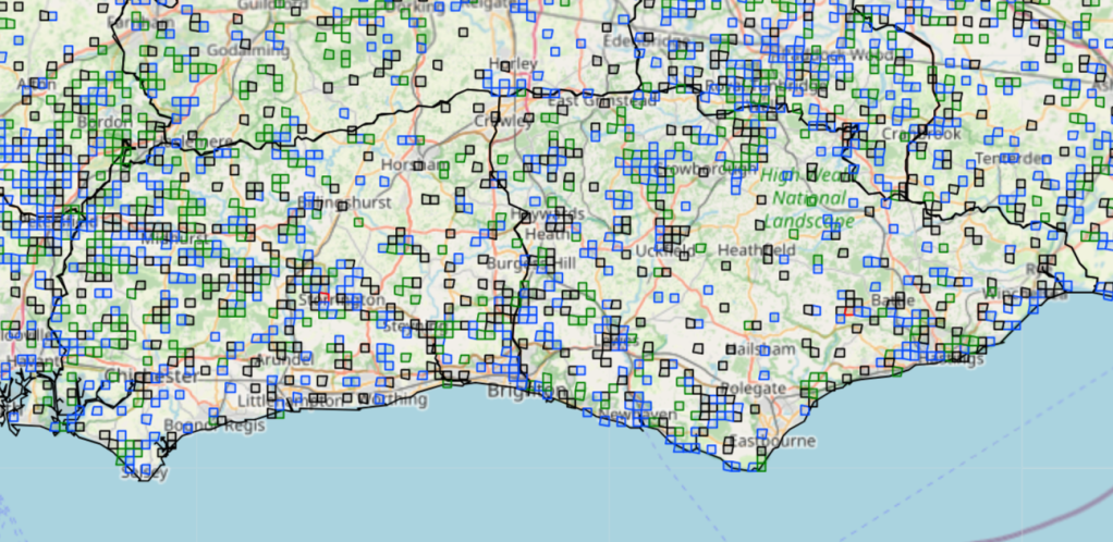
The British Lichen Society records for Sussex are an observational, opportunistic dataset, as is the National Diversity Network; observational, opportunistic datasets have significant limitations for biodiversity analysis. However, they are all we have, and most records are the result of amateur naturalists making observation and submitting records in their own time. I would urge lichen recorders to spend more time in urban settings.
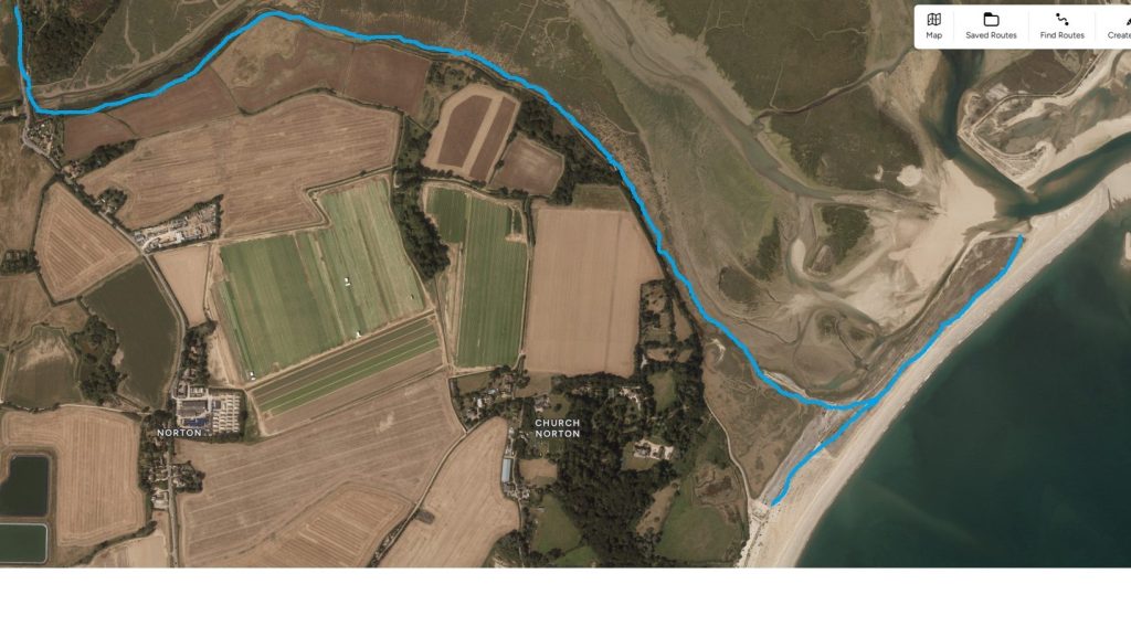
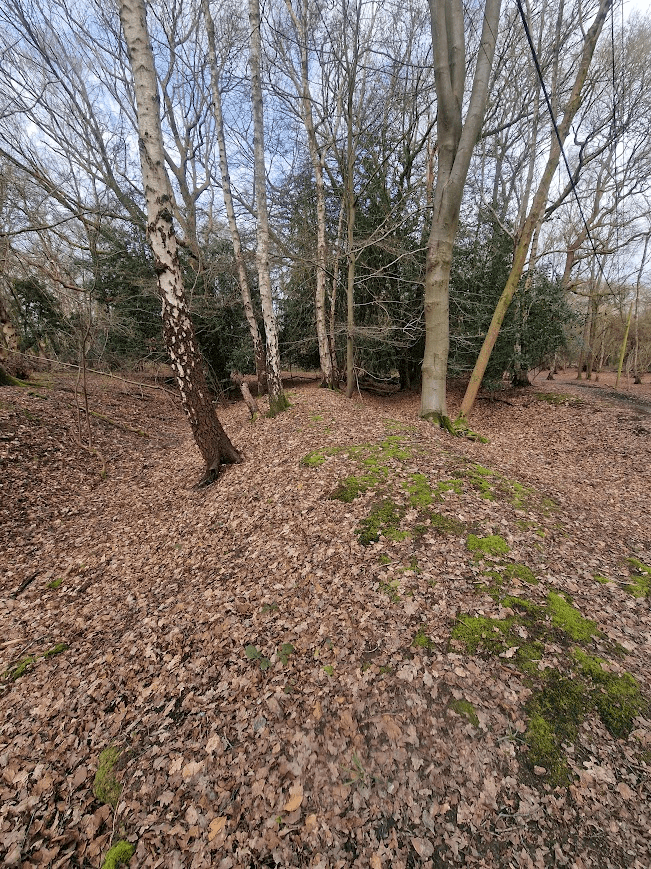
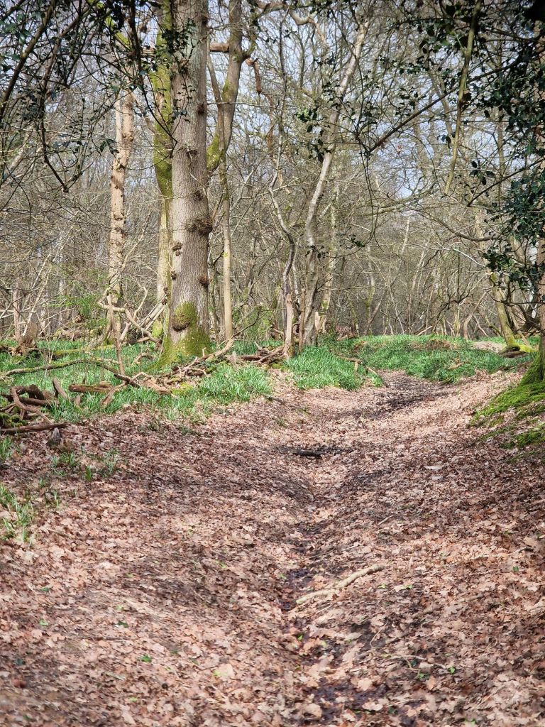
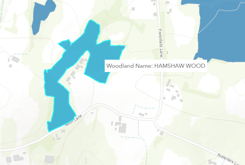
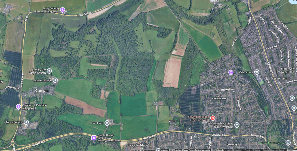
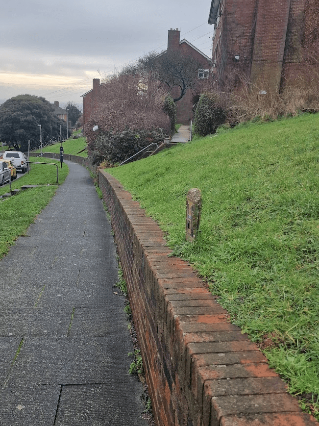
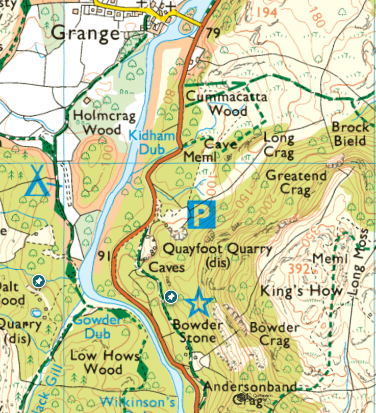
Captioned screen shot of Google maps satellite view of the Bristol Estate with the main areas of trees on the estate that I looked at for lichens (not all the trees on the estate)
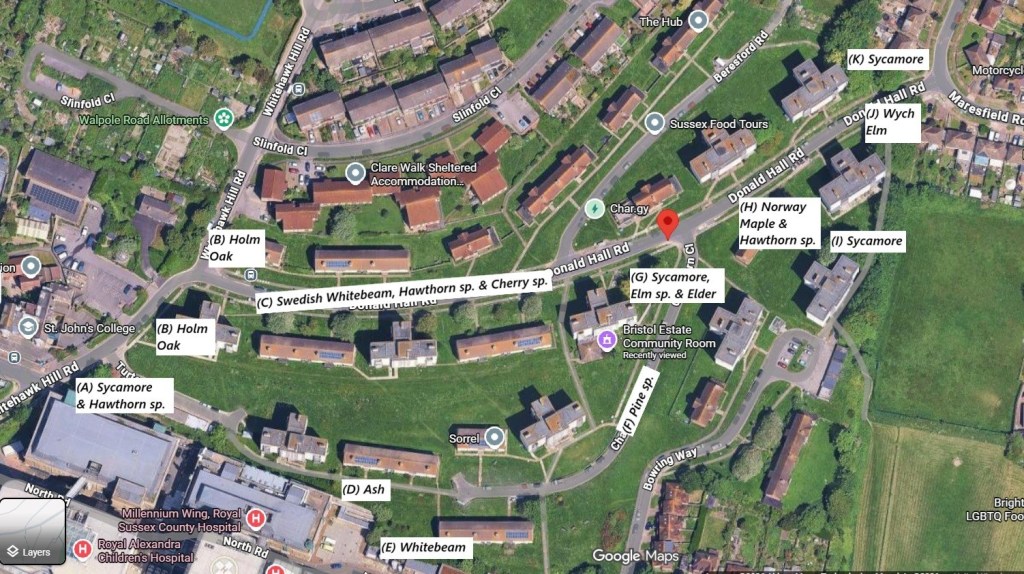
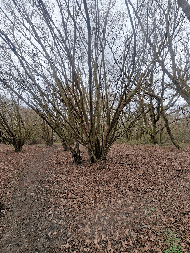
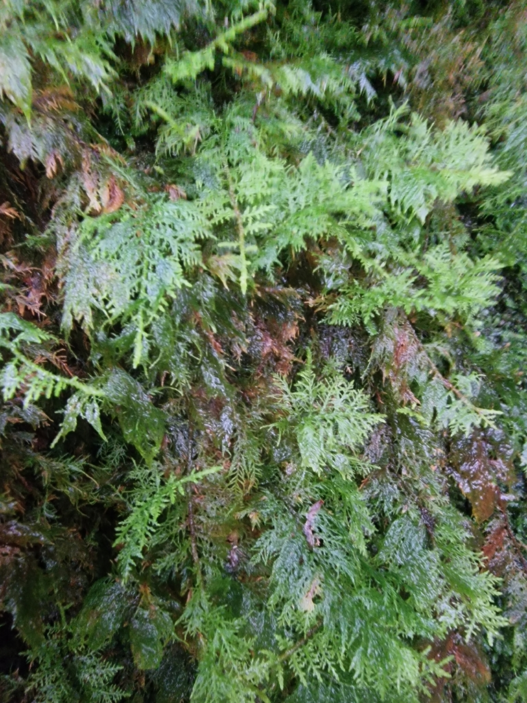
The Swedish Whitebeam Sorbus intermedia, Hawthorn Crataegus monogyna (probably a C. monogyna cultivar), Cherry sp. Prunus sp. (probably a P. avium cultivar), Norway Maple, Acer platanoides and Holm Oak Qurcus ilex look like they were planted at the time of the building of the estate, commissioned by the County Borough of Brighton in the 50s, as they are located in lines along the roads or at the end of housing blocks. The Ash Fraxinus excelsior and Pine sp. (probably Austrian Pine, P. nigra), look as if they were planted much more recently, and they also follow road/path lines.
The Sycamore Acer pseudoplatanus, Whitebeam Sorbus aria and Elder Sambucus nigra could have been planted, but more likely self-seeded, as they seem randomly located. Wych Elm, Field Elm, Whitebeam and Sycamore are native to the South Downs
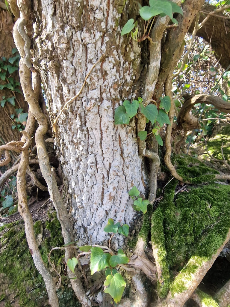
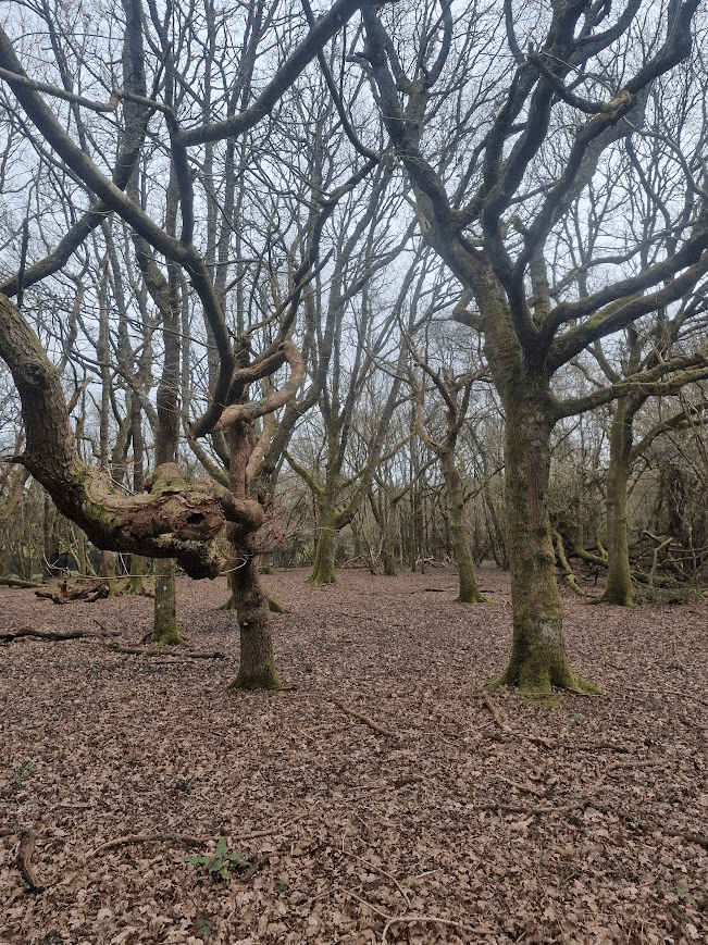
The Elms Ulmus spp. (Wych Elm Ulmus glabra & probably Field Elm U. minor) look much older than the estate and were probably native Elms on the dip-slope of the down on which the estate was built. Because they are within the Brighton & Hove City Council control area, they were spared infection by Elm Disease. The majority of the Ems in the Brighton and Hove National Elm Collection are trees planted by Victorians and Edwardians in roads and public parks; but the Elms of the Bristol Estate (along with the solitary Field Elm at the bottom of the Craven Vale Estate) appear to be native Elms that have survived development around them and Elm Disease; they are very precious trees, and very under-appreciated.
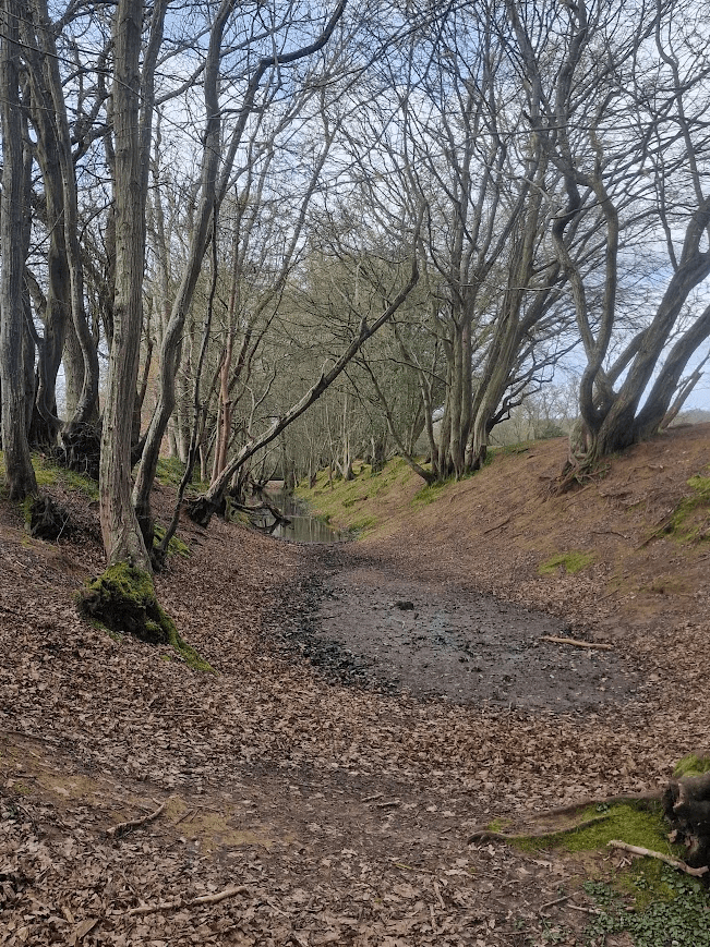
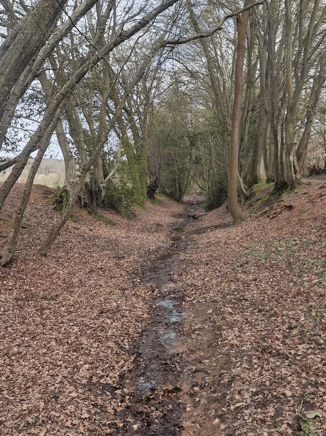
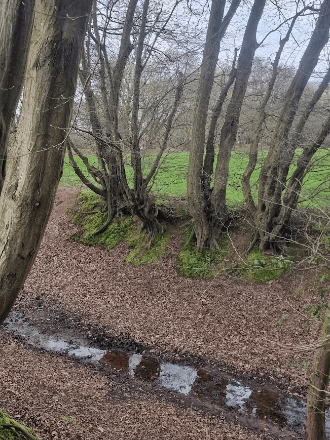
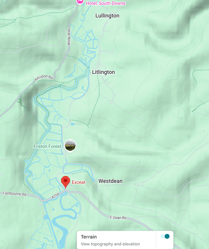
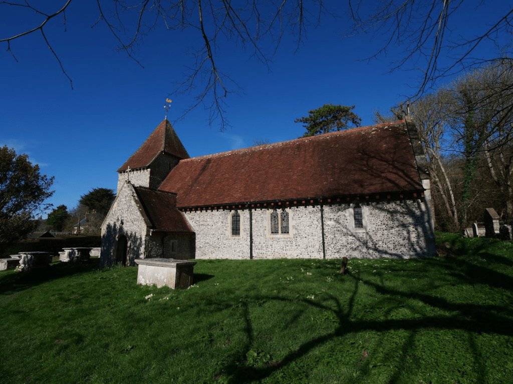
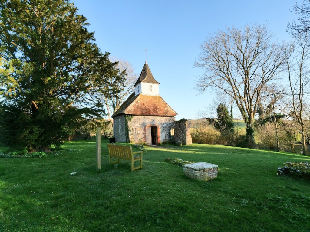
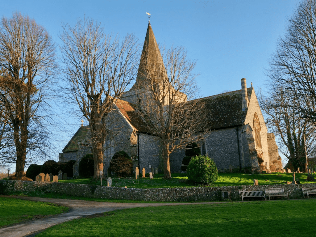
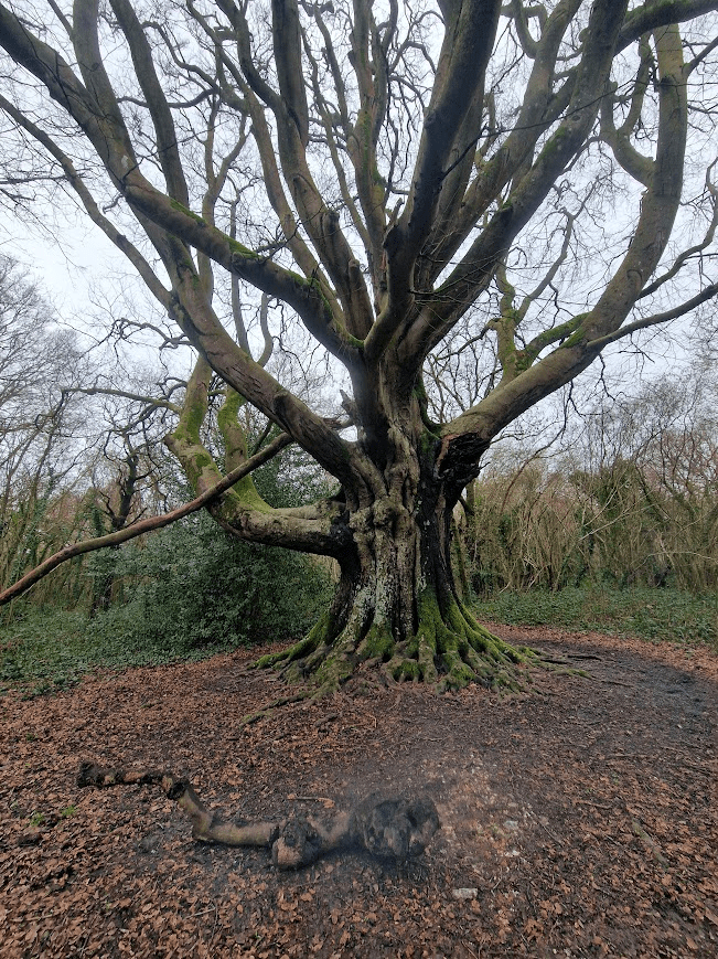
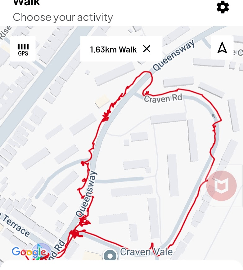
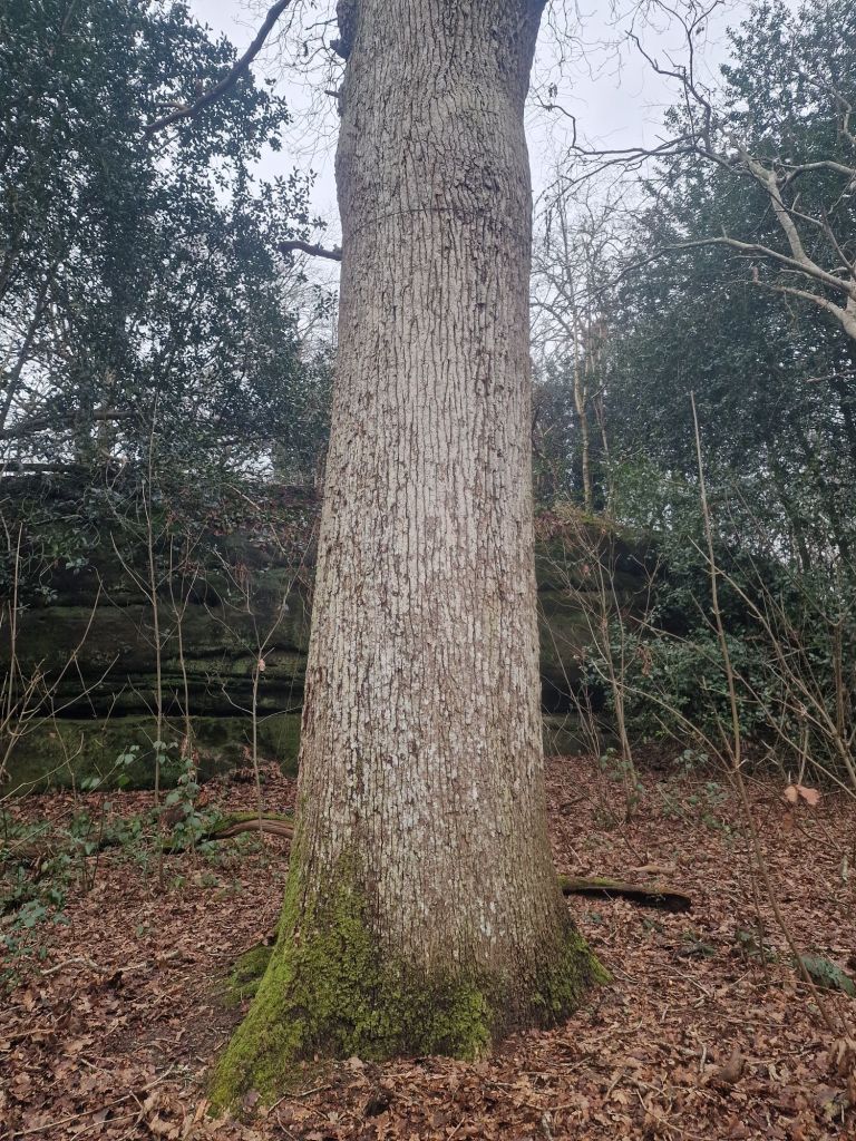
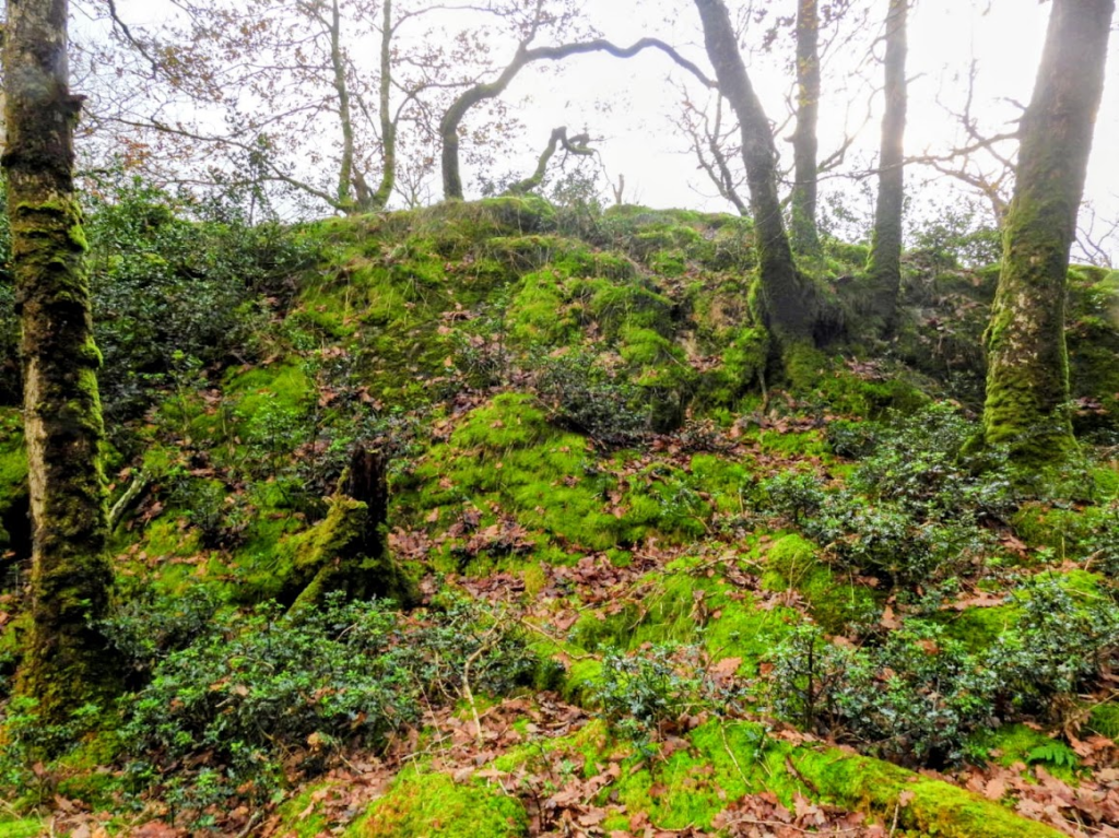
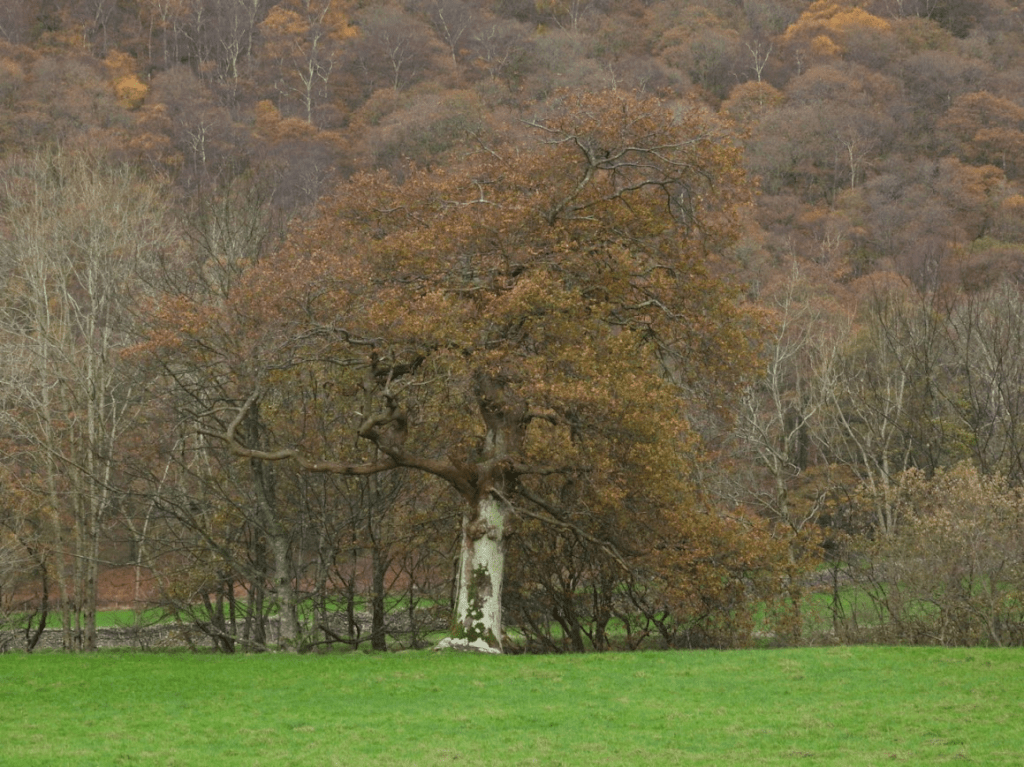
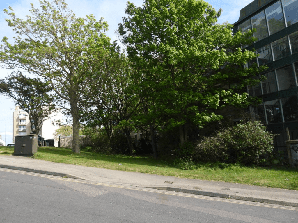
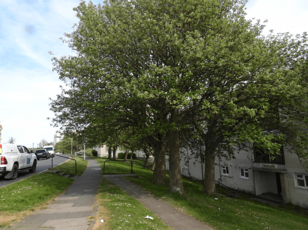
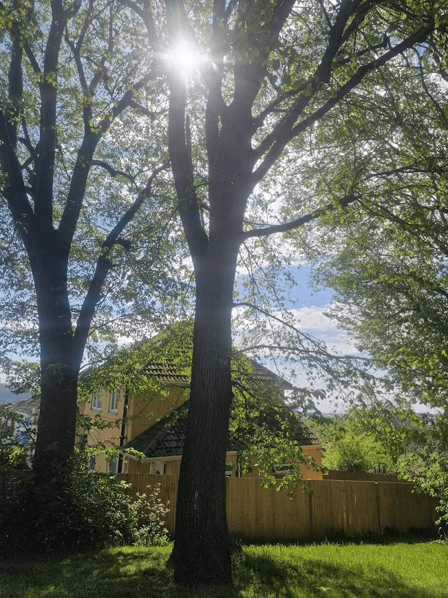
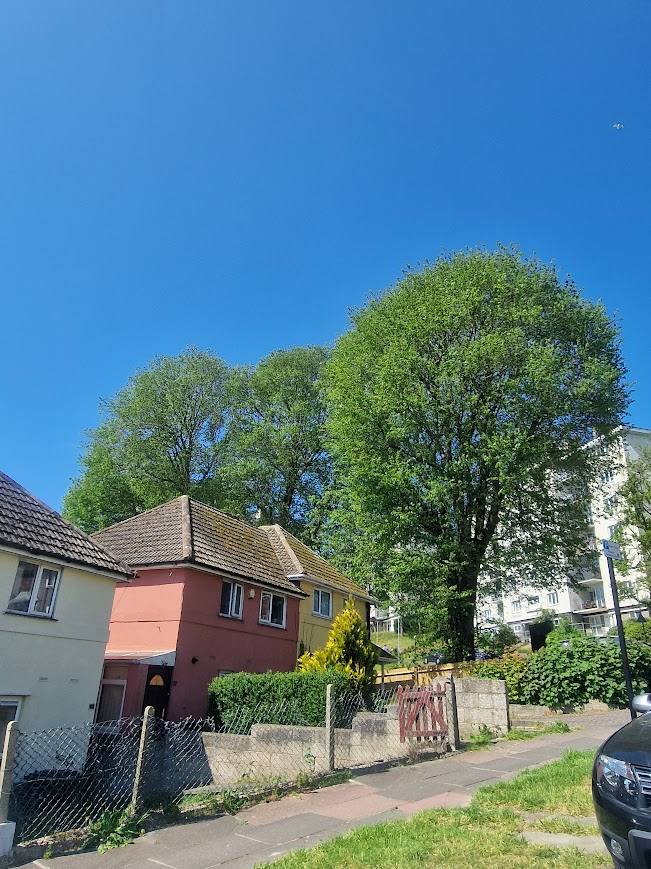
The Bristol Estate is perched high above Brighton between the Downs and the sea with stunning views of land and sea. It was built in post war Britain to a cutting edge design of tower blocks and low rise flats. There were no houses on the development, but lots of nice green space. The first resident moved into Donald Hall Road in 1957, and a number of The Marquess of Bristol’s estate was Bristol Estate developments | Bristol Estate | My Brighton and Hove
The estate is named after the Marquess of Bristol. In 1828, Frederick William Hervey, First Marquess of Bristol 1769 -1859 bought a double house plot at the North West corner of Sussex Square, enabling him to build a house four times the volume of other houses in the square. ... The Marquess owned an extensive estate in Brighton stretching from the rear of Sussex Square to the racecourse and beyond north to Bear Road and west to the site of the Royal Sussex County Hospital. The Hervey family seat was, until 1998, at Ickworth, Suffolk. The Kemp Town Estate – Who’s been living in my house?
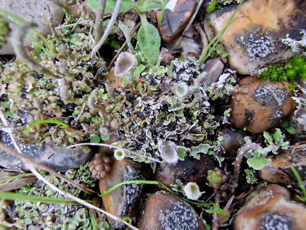
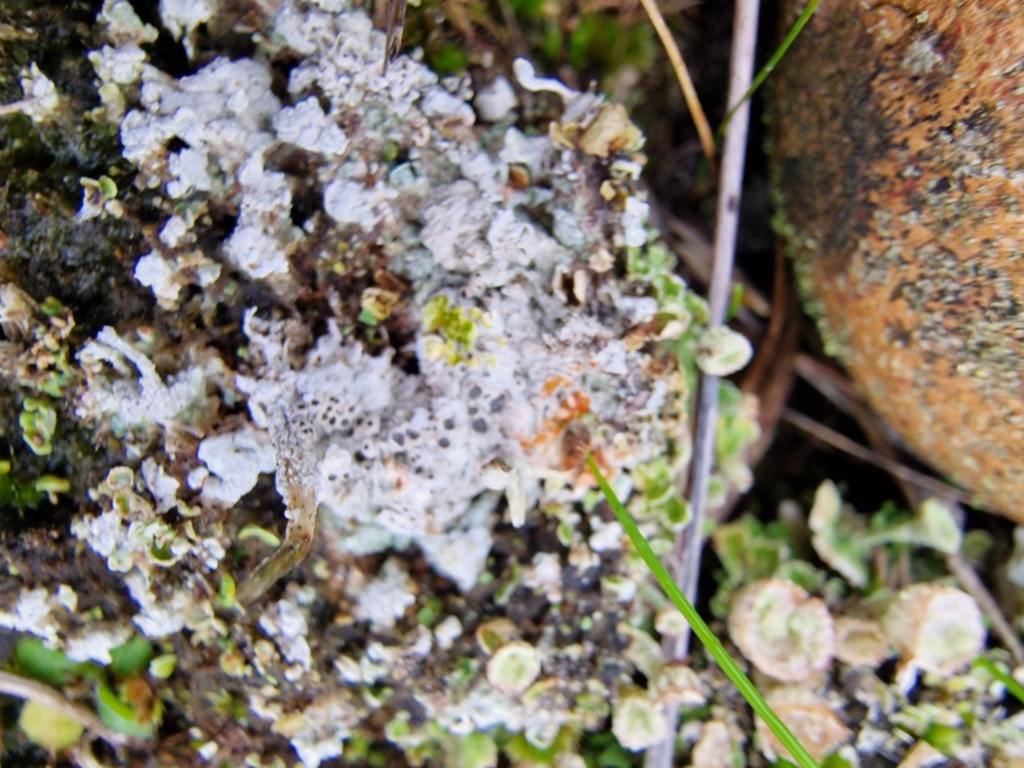
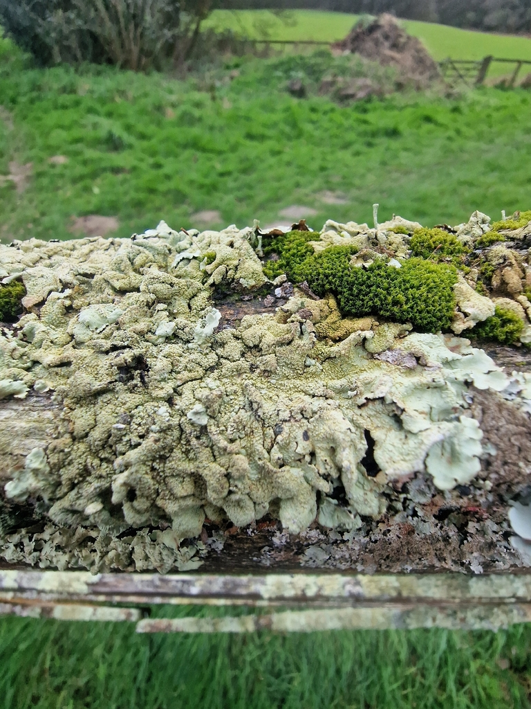
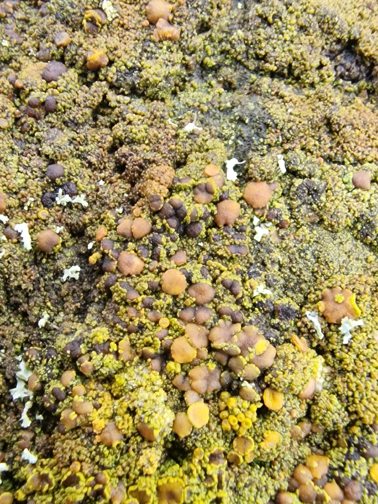
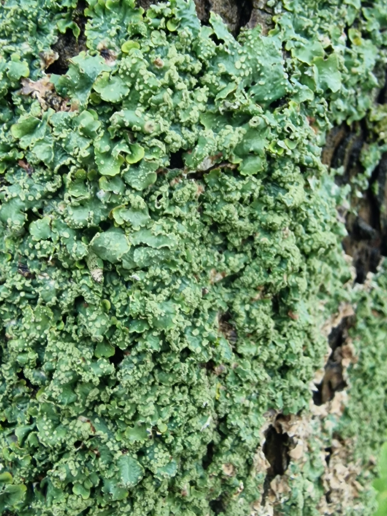
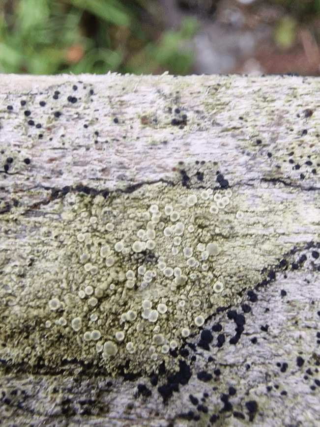
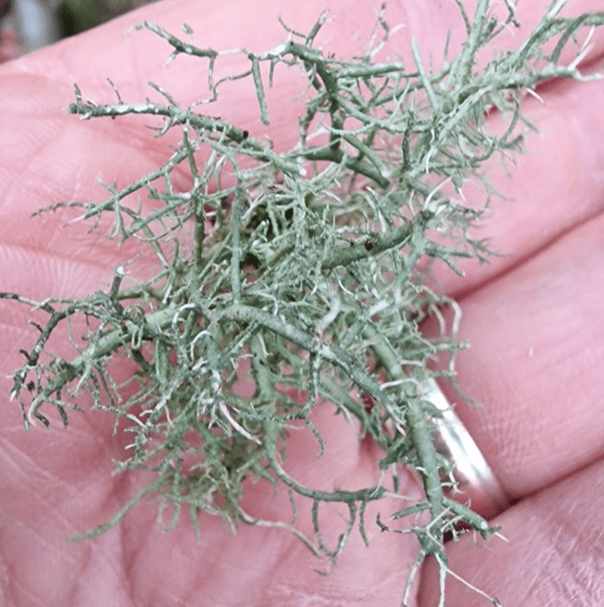
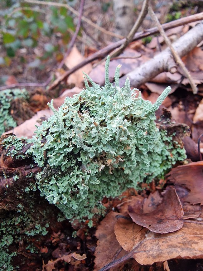
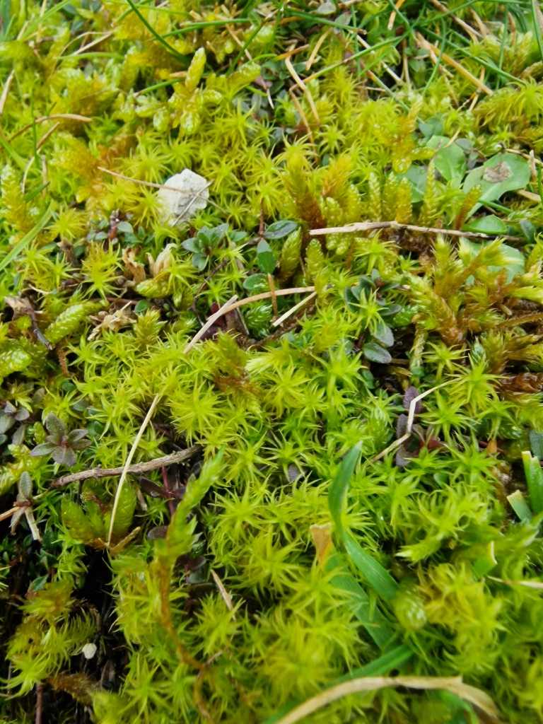
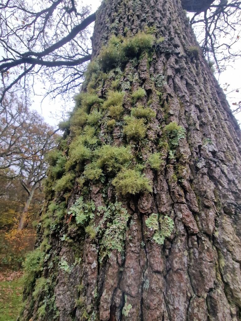
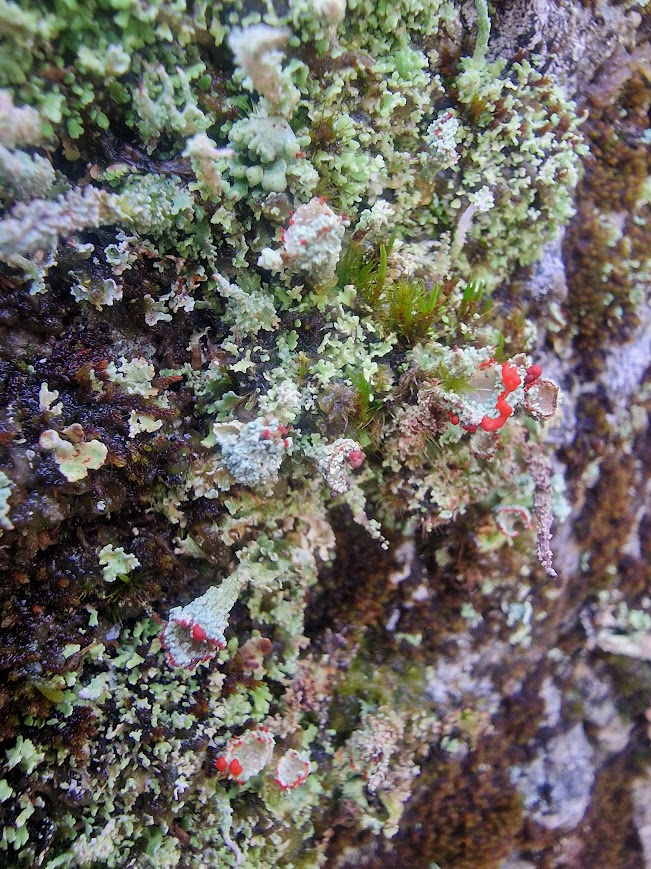
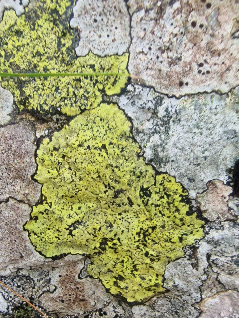
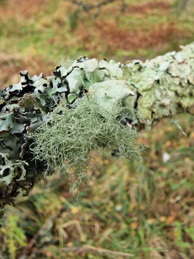
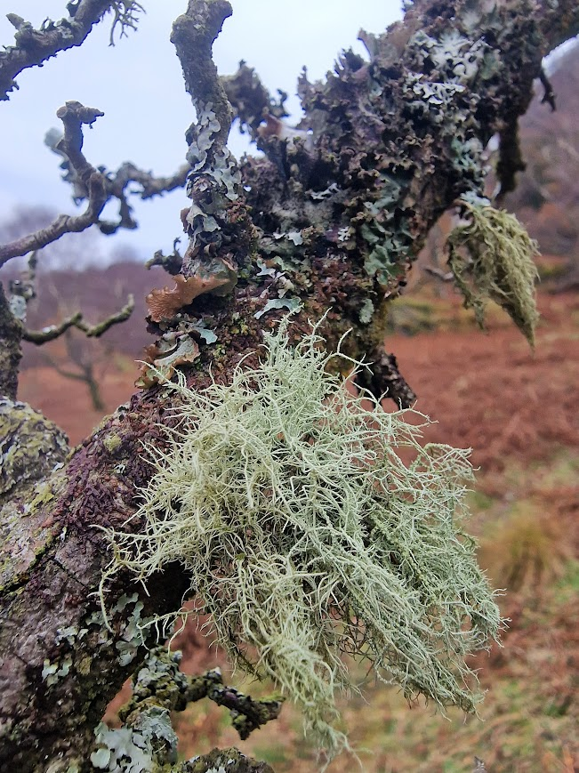
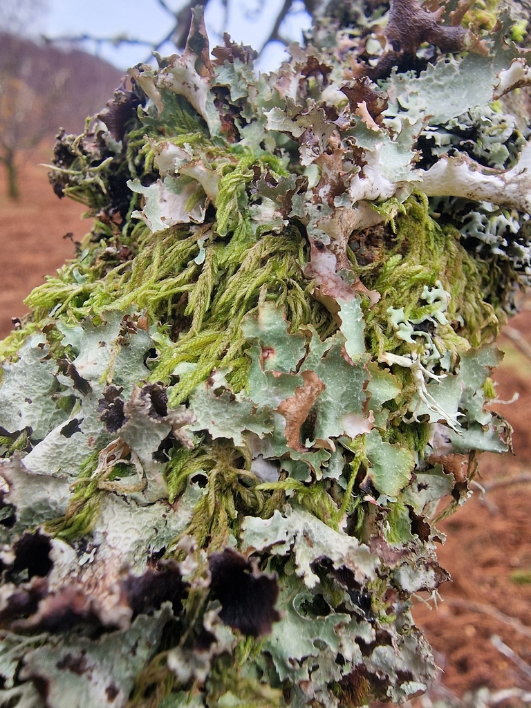
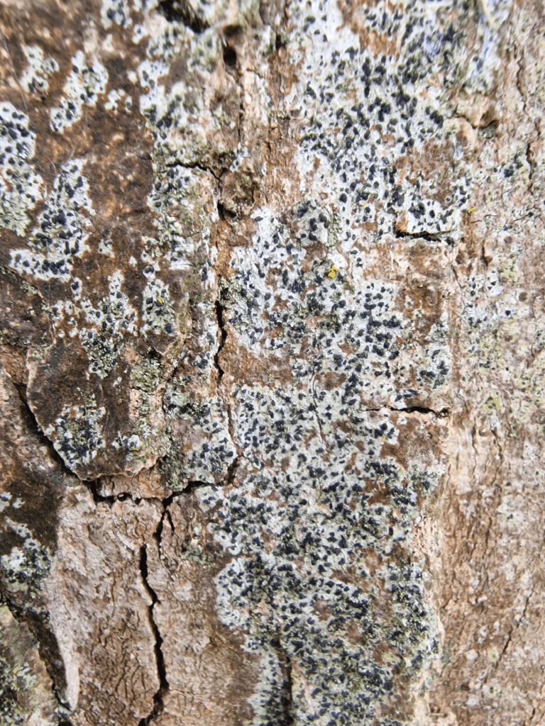
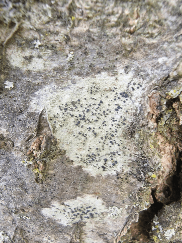
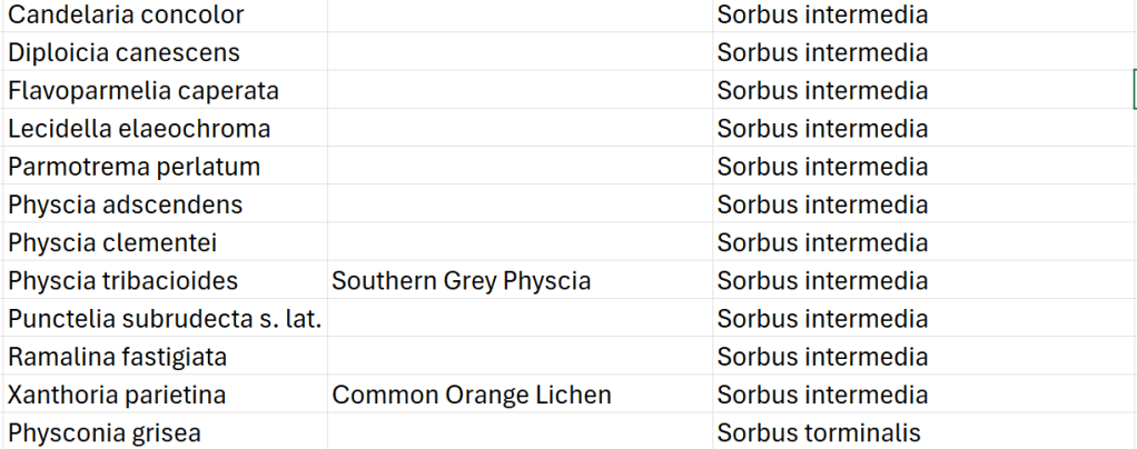
The lichens on trees which I recorded; there are undoubtedly more lichens on the trees than those I recorded; with photographs of some of them.
Sycamore
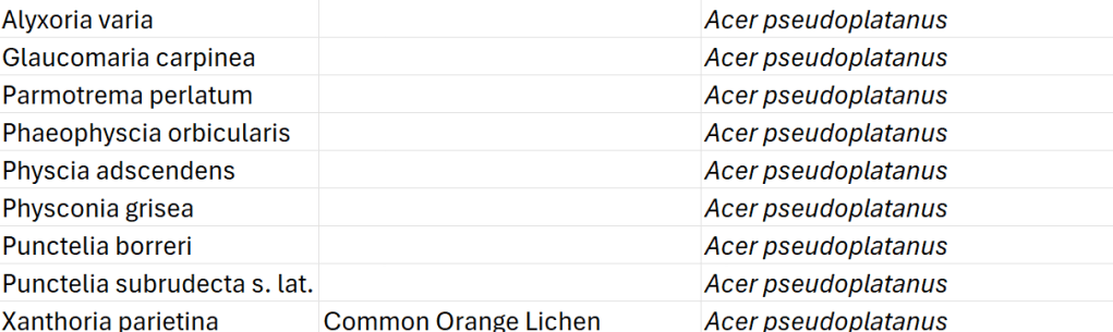
Puncetlia borreri
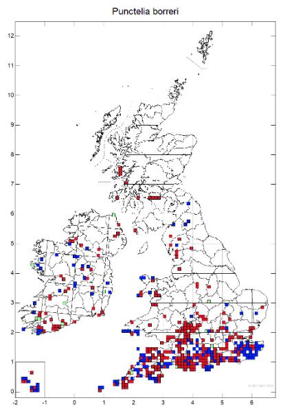
A very southern lichen
Phaeophyscia orbicularis
A common lichen on urban areas
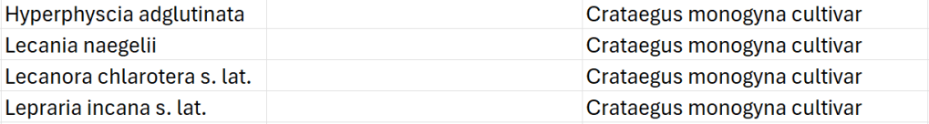
Hawthorn
A cultivar
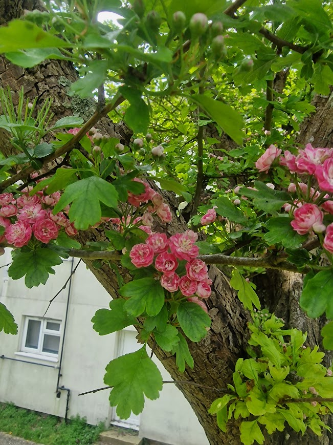
Hyperphyscia adglutinata
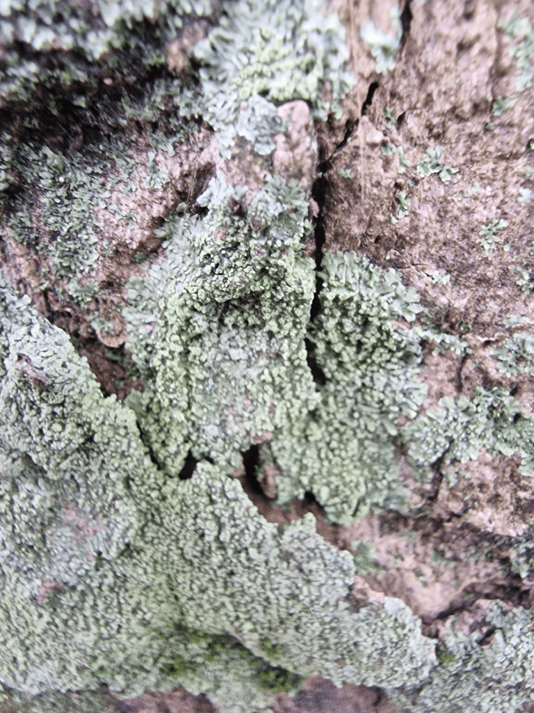
A common lichen on nutrient-enriched shaded trees in urban areas; very difficult to see as its very small
Lecanora chlarotera sensu latu
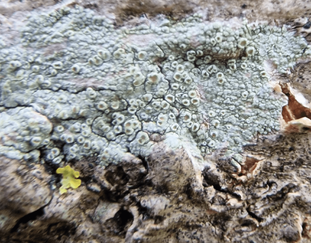
Lecanora chlarotera is impossible to separate from Lecanora hybocarpa without microscopy so I have recorded this is sensu lato “in a broad sense”; a term used commonly used in biology, to indicate that a scientific name is being used in a wide, inclusive sense, encompassing all its subordinate taxa or close relatives, rather than a narrow definition
Ash

Arthonia radiata
Arthonia radiata is a common pioneer species on twigs of smooth barked trees. It often grows with Lecidella elaeochroma and Lecanora chlarotera.
Cherry

Lecidella elaeochroma
Very common on well-lit smooth bark, especially twigs and small branches, often forming mosaics; moderately tolerant of both sulphur dioxide and ammonia pollution.
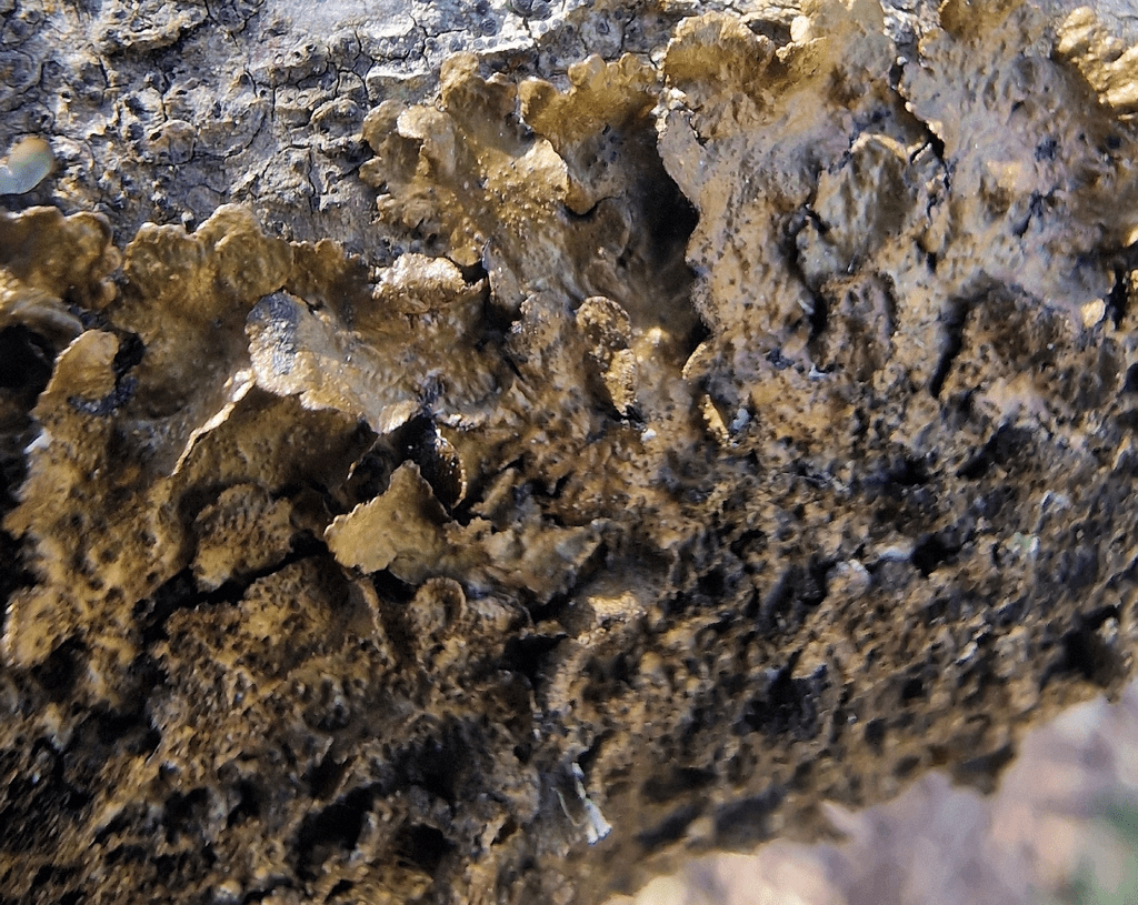
Holm Oak
A non-native evergreen Oak planted frequently by local authorities in urban settings; notoriously low in epiphyte diversity

Lecanora compallans
Lecanora compallans is very similar L. expallens and L. barkmaniana and can only be separated by chemical reagent spot testing, which I did.
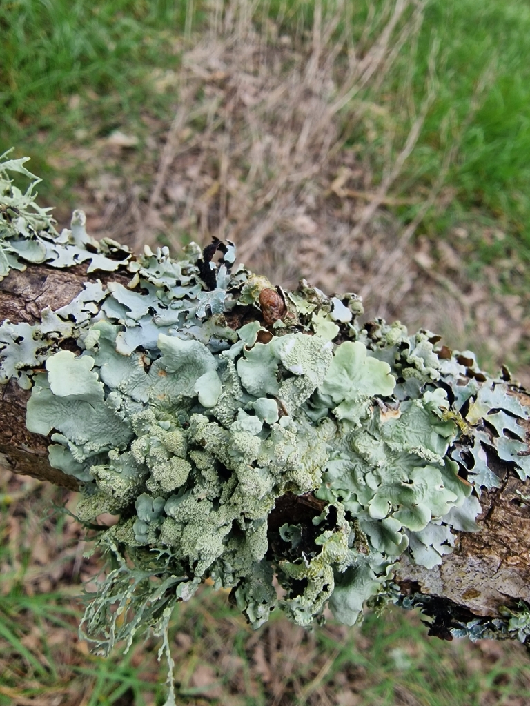
Swedish Whitebeam
A small deciduous tree, widely planted as a street tree as well as in gardens and parks, spreading by seed and frequently self- or bird-sown in woodlands, cliffs, hedges, rocky pastures, limestone pavements and waste ground, usually on base-rich soils. The occurrence of old trees at remote locations in Scotland has led some to consider that it may have colonized naturally from Scandinavia, with the seeds having been dispersed by migrating thrushes. Sorbus intermedia (Ehrh.) Pers. in BSBI Online Plant Atlas 2020
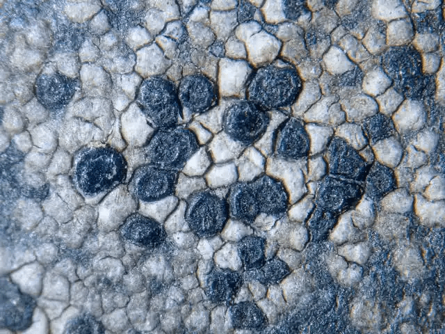
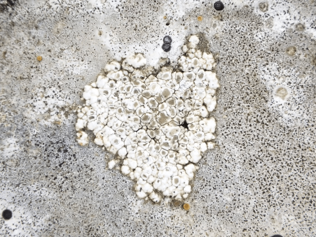
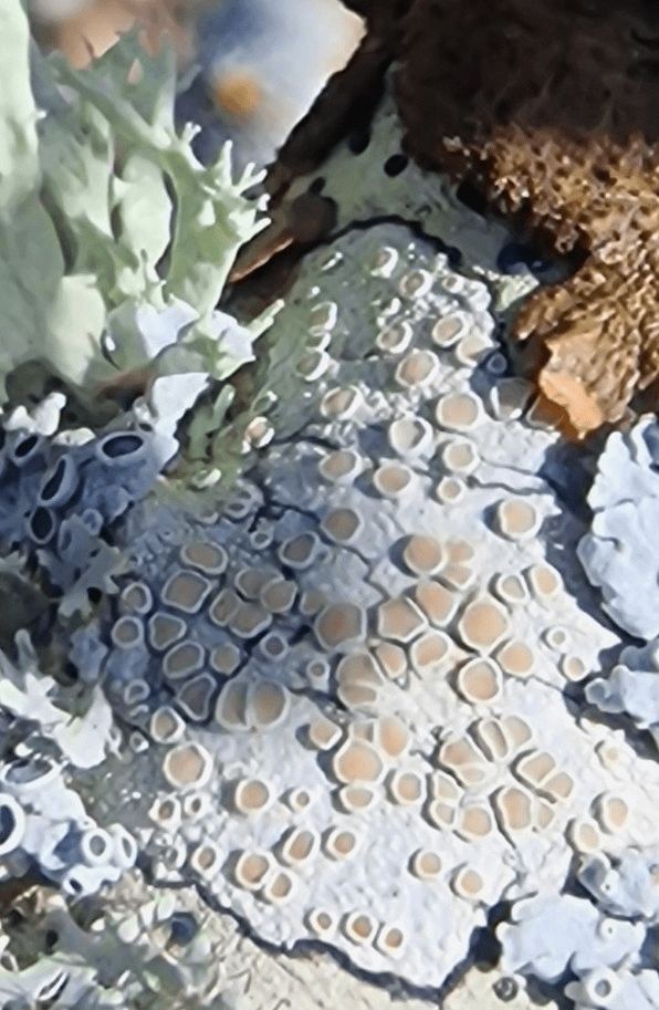
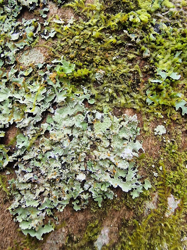
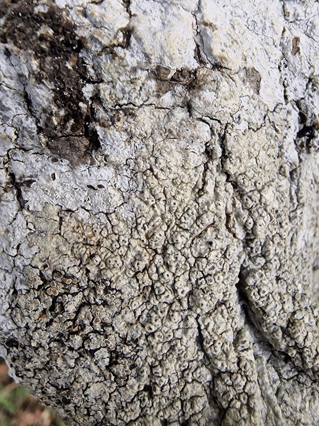
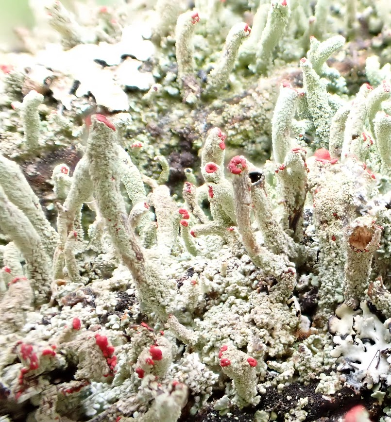
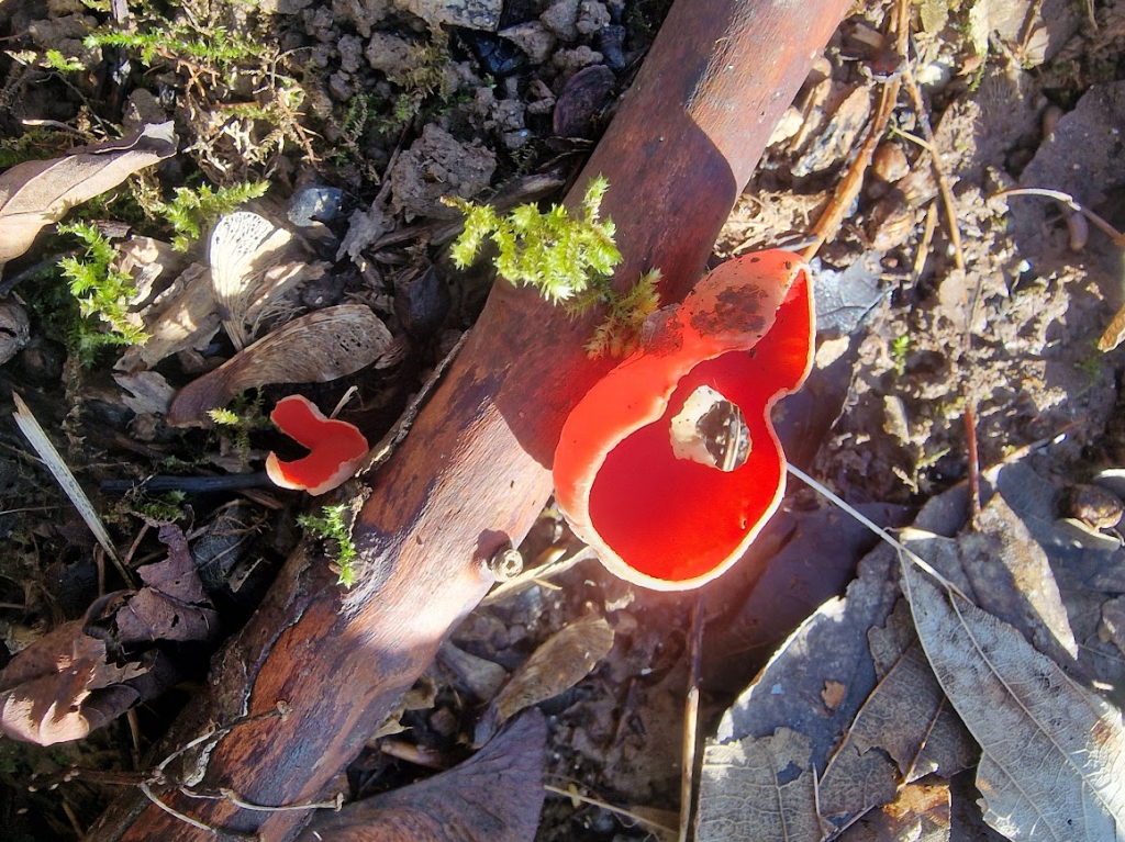
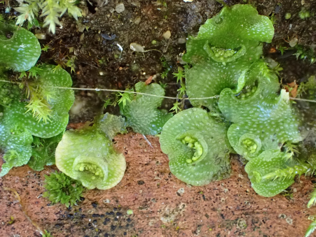
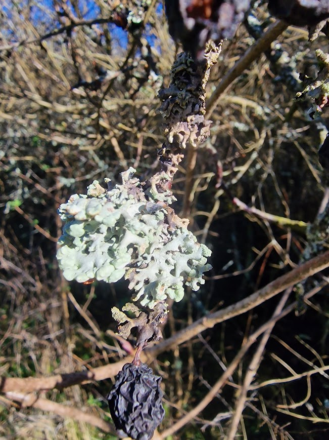
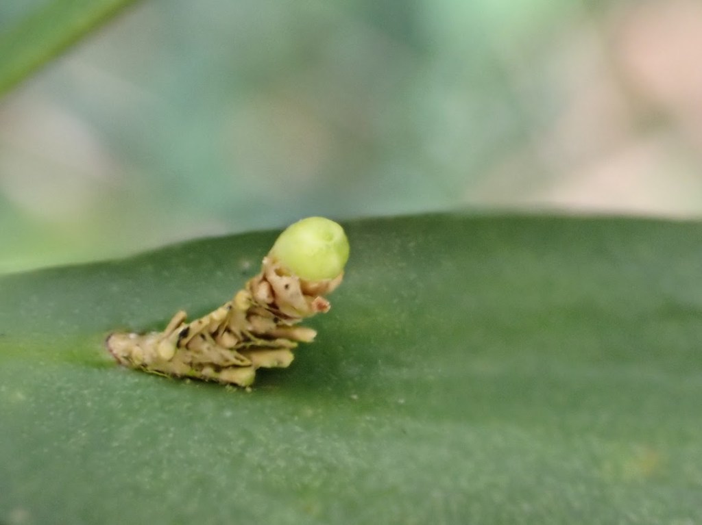
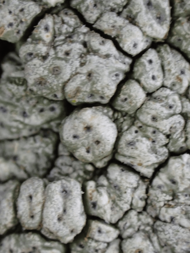
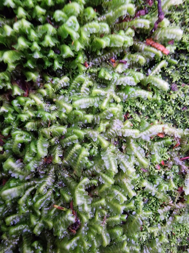
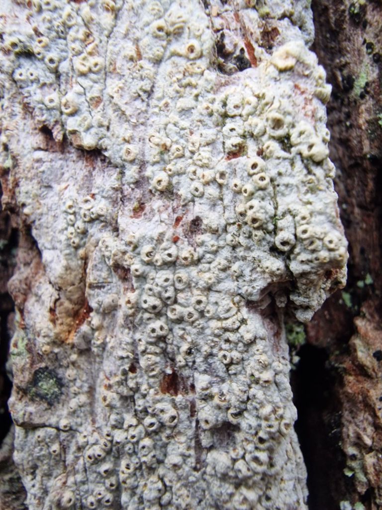
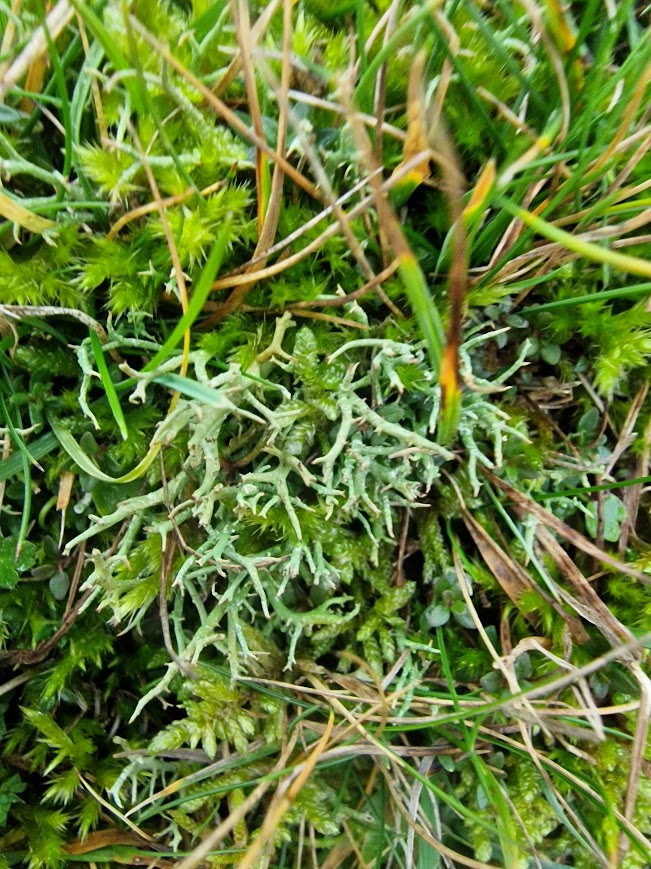
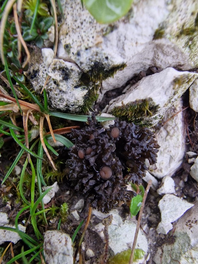
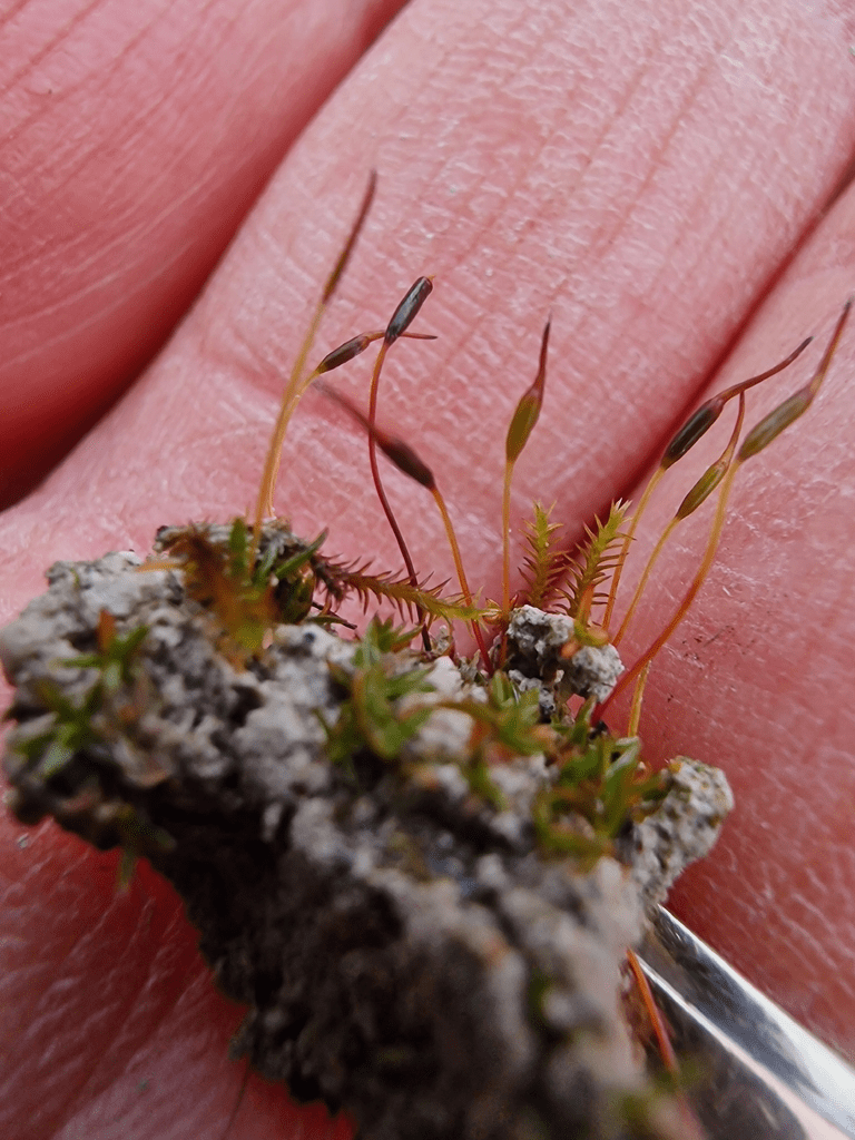
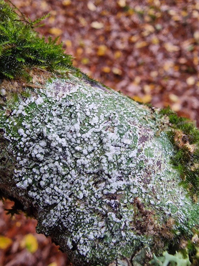
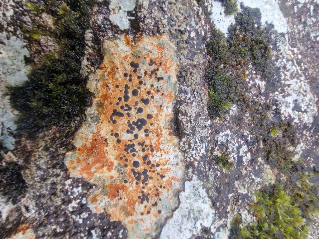
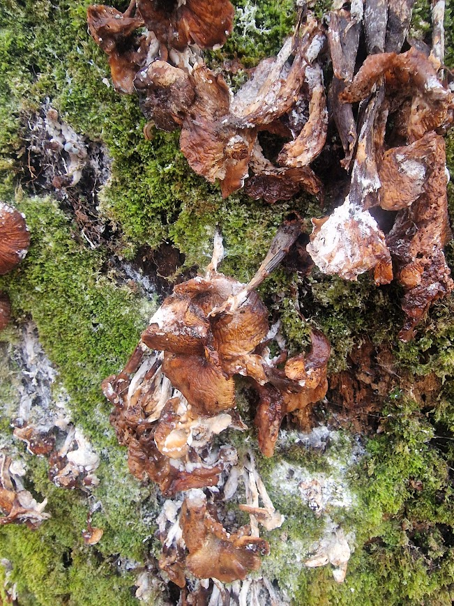
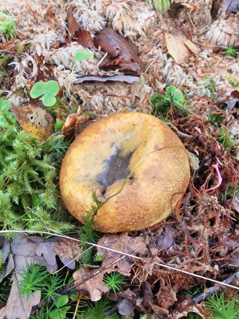
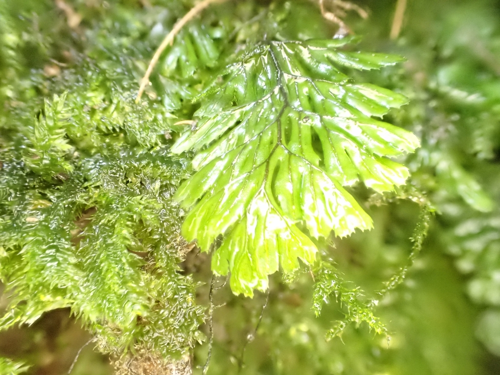
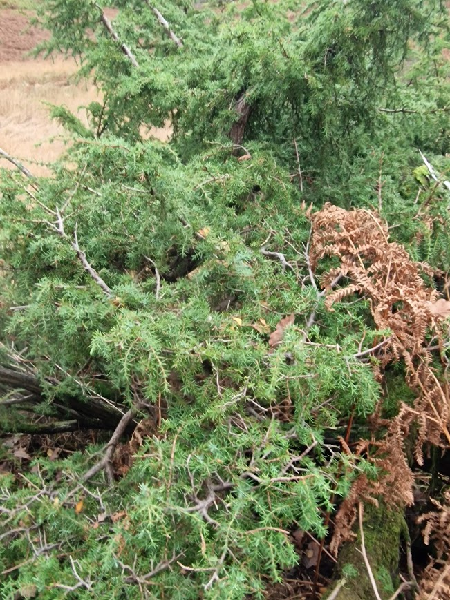
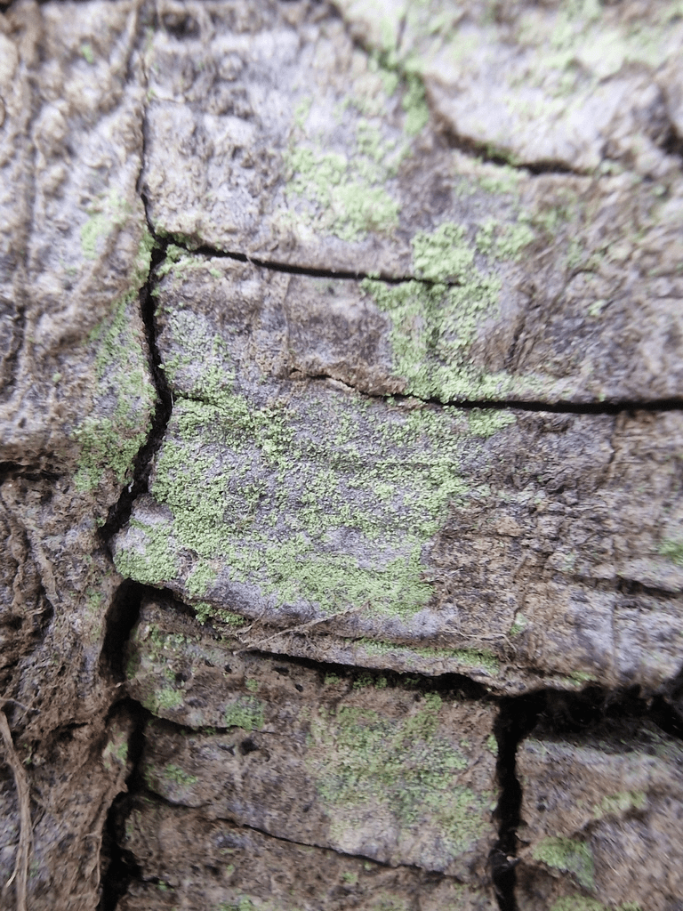
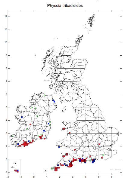
Physcia tribacioides
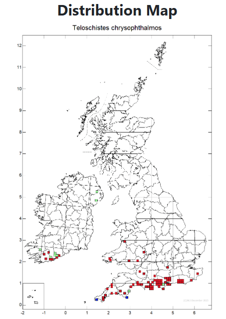
Four patches noted. Only one 19th century record of this lichen in Sussex.
ICUN red list status: Vulnerable, thus a section 41 species afforded special protection. British Lichen Society Status: Nationally Scarce
Found on sheltered, nutrient-rich bark and on +/- vertical walls and rocks. Most frequent in southern Britain.
Individual narrow, strap-like, convex, pale grey thalli lobes are small but can mass to extend over wide areas. The upper surface lacks the white flecks seen in Physcia caesia or marginal cilia seen in some other species. The marginal lobes can flare out to produce crenately incised apices. The soralia are mostly laminal, convex and can be so abundant as to cover parts of the thallus. The medulla reacts yellow when potassium hydroxide is applied. There is no reaction in the medulla of the similar P. tribacia. Physcia tribacioides | Lichens of Wales mainly in coastal areas in the south of the UK
A conservation Evaluation of British Lichens and Lichenicolous Fungi
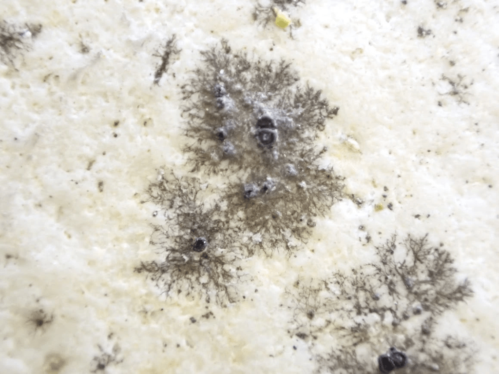
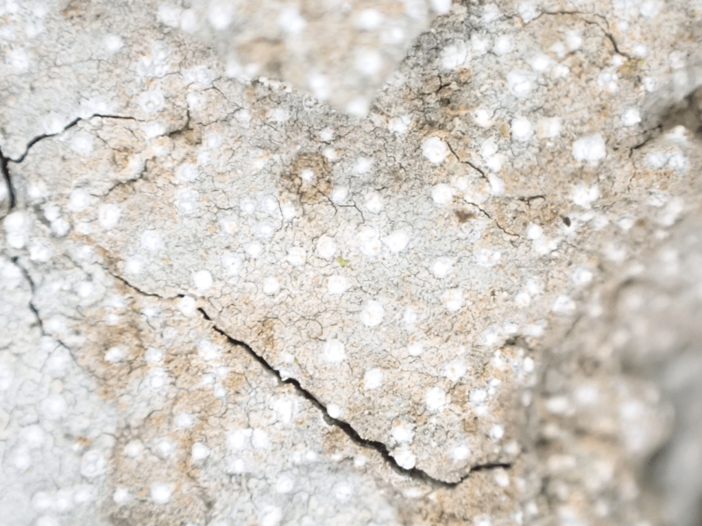
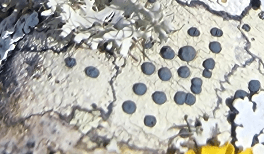
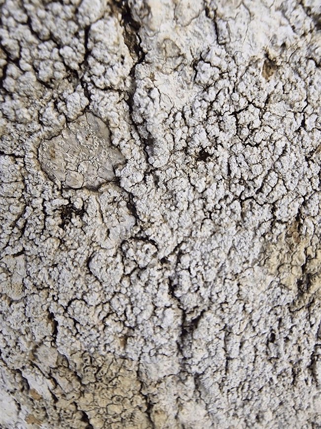
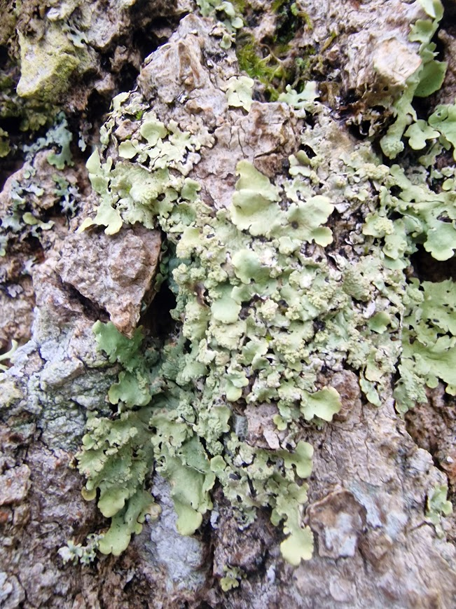
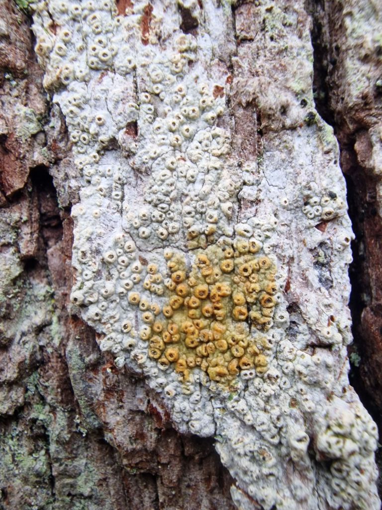
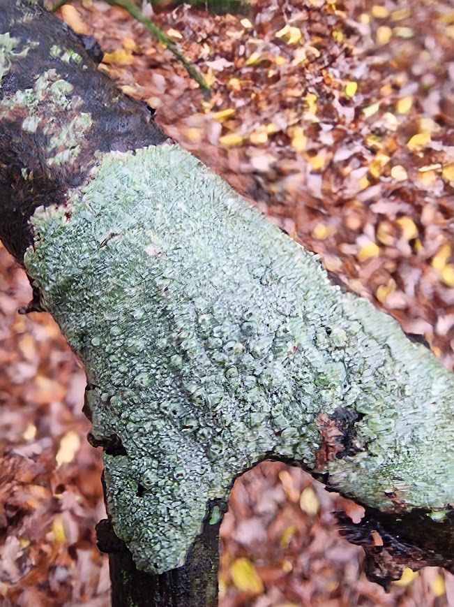
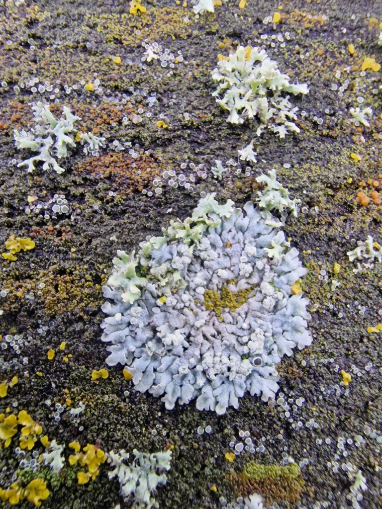
Physcia clementei
Closely adpressed pale-grey or whitish thallus with narrow, overlapping lobes. White undersurface with pale rhizines. Centre of thallus densely covered with short, granular isidia that can break down and become coarsely sorediate. Infrequently fertile in Britain Irish lichens – Physcia clementei
Seen on two trees
Also very rare in Sussex; but more common in the south than anywhere else ICUN red list status: Near Threatened; British Lichen Society Status: Nationally Scarce
Whitebeam
A small to medium-sized tree, native in scrub and open woodland on well-drained soils over chalk, limestone, and occasionally more acid substrates, and widespread as an introduction. A variable sexual diploid, responsible for driving evolution of many British endemics. Sorbus aria (L.) Crantz in BSBI Online Plant Atlas 2020


Very common on Brighton street trees.
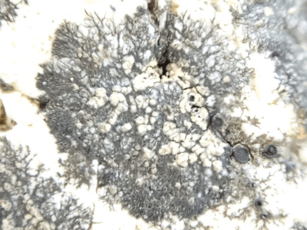
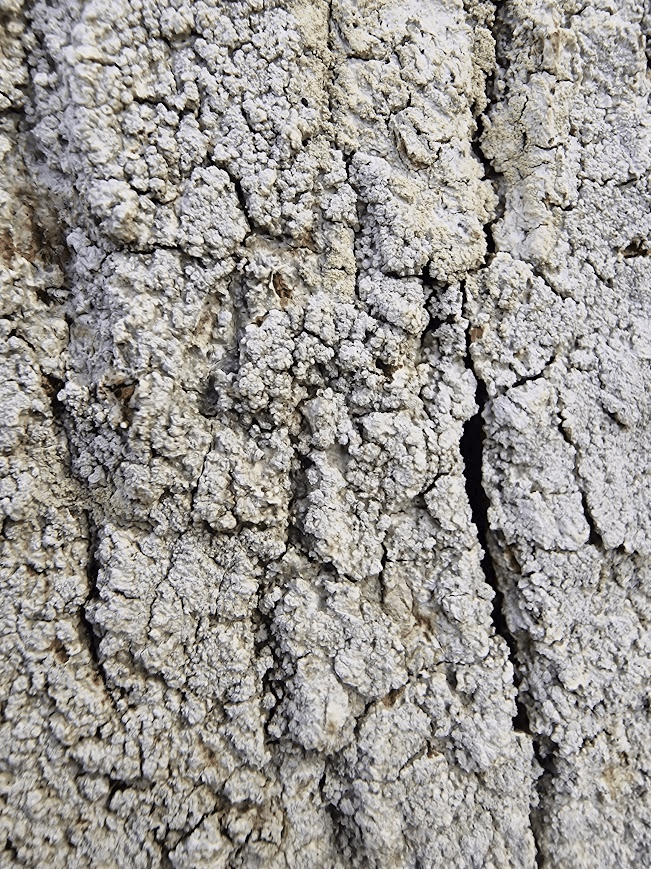
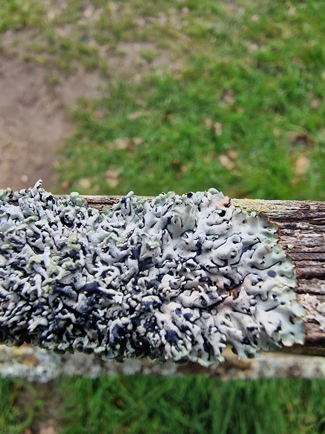
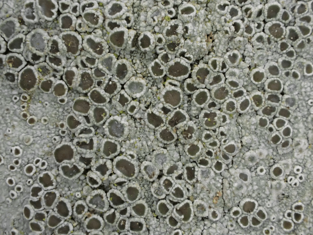
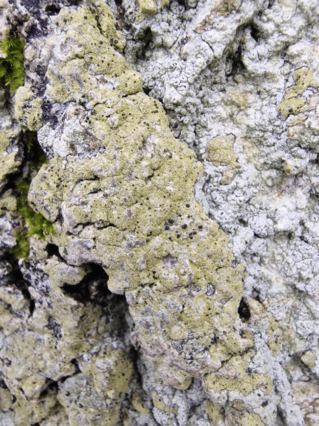
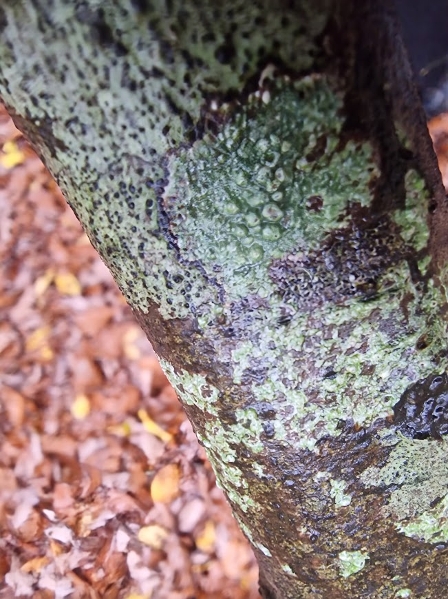
Physconia grisea

Wych Elm
A long-lived, deciduous tree of woodlands, especially on the upland fringe in northern Britain. It also occurs in hedges, field-borders and streamsides. It usually occurs in small numbers, typically forming mixed woodland with ash and sycamore on limestone and other base-rich soils. Unlike other British elms it is non-suckering and regularly produces fertile seed. It is a colonist of ungrazed grassland, rocky ground and waste and spoil heaps. This species hybridizes freely with U. minor in England, forming complex patterns of variation. … It has declined locally as a result of Dutch Elm Disease in most regions since the 1970s, with few mature trees surviving. Ulmus glabra Huds. in BSBI Online Plant Atlas 2020

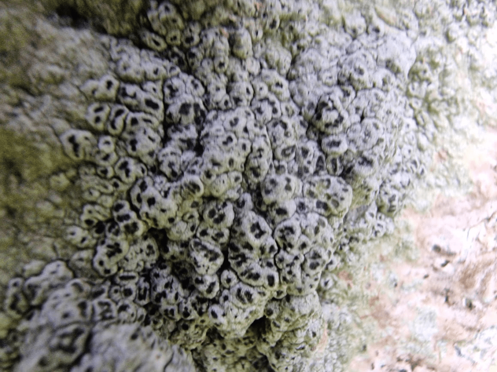
Physcia caesia
The bluish-grey thalli are roughly circular, up to 7 cm in diameter, and lie very close to the substrate. Lobes up to 1 mm wide are more obvious near the margin and are covered with white mottling. Light grey, powdery soralia occur as mounds on the surface, particularly towards the centre. Apothecia are rare. Physcia caesia
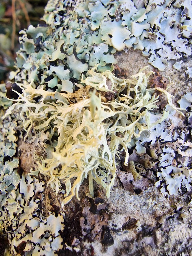
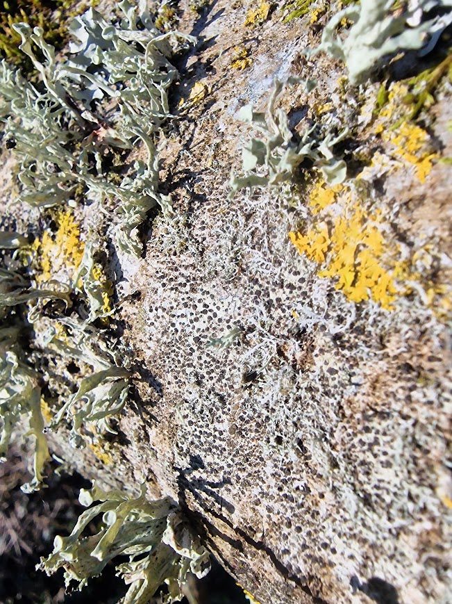
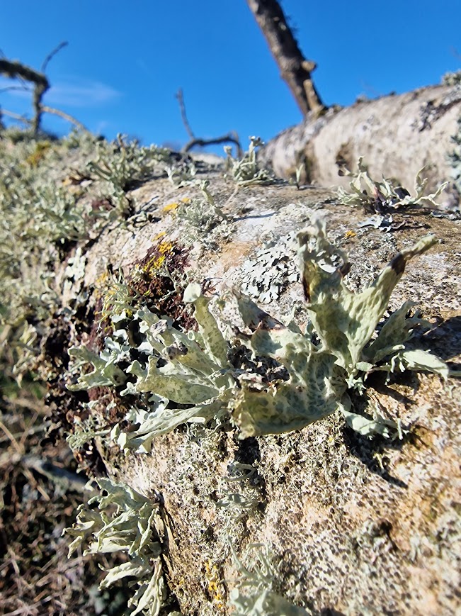
All the lichens I saw on the Bristol Estate