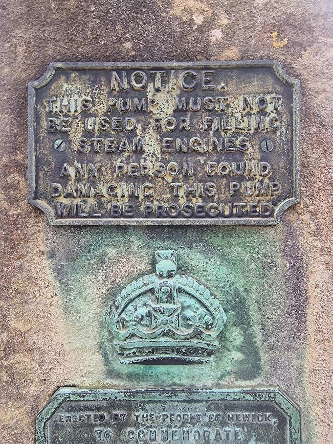
My prime motivation for this walk was to record the lichens on the Wild Service Trees, Sorbus torminalis, in this area, as the British Lichen Society has no lichen records linked to Wild Service Trees. I have been recording the lichens on Wild Service Trees for two years now. Another motivation was to maintain my wellbeing. For the last 40 years I have had intermittent periods of poor metal health (mainly depression related to Obsessive Compulsive Disorder, with which I was diagnosed 25 years ago). But I live well, as a result of previous good therapeutic support (Mindfulness-Based Cognitive Therapy), anxiolytic medication (an SSSI), having a loving partner and friends, and undertaking volitional activities that I know boost my well-being i.e. walking in nature, having nature-based interests (species identification) that distract me from troubling thoughts and leads to a sense of purpose and meaning. I am aware that I have sufficient income to have stopped work early and have the time and resources to spend time in nature. That is a privilege. I was born in 1962 and was able to buy a house with my partner in 1991 (which we still live in, mortgage paid off) and I had a job (a local authority teacher) form which I could retire at 55 (with actuarial reduction). My well-being is in part because I have sufficient income; I am very aware that many people do not have sufficient income and time to do the volition activities that might support their well-being. I am doing my best through political volunteering to address that injustice.
The Woodland Trust’s Ancient Tree Inventory is a great way of finding out where Wild Service Trees are across the country; especially now that the Lost Woods of the High Weald and Downs volunteer tree recorders have added many trees to the inventory for the Low Weald. I volunteer for the Lost Woods as a lichen-walk leader. I also volunteer for the RSPB Pagham Harbour as a lichen-walk leader and ranger. Communicating information about nature in Sussex to others is I think very meaningful. Nature and mental health are ecological systems; mutualism is the most useful interaction; helping others know more about nature helps them and my (and hopefully their) mental health.
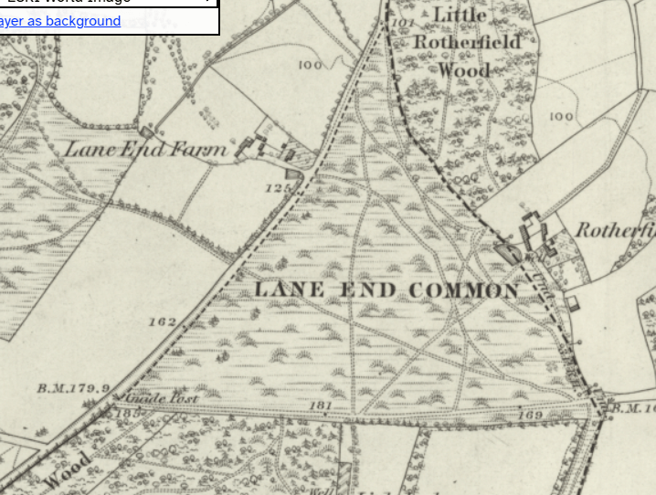
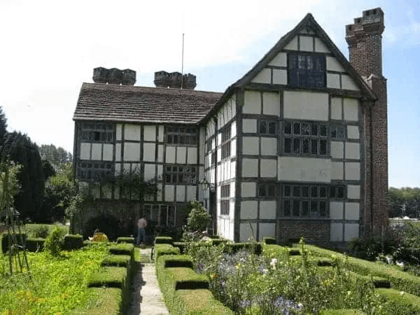
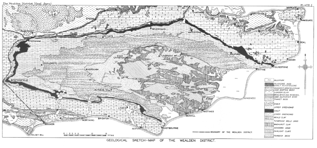
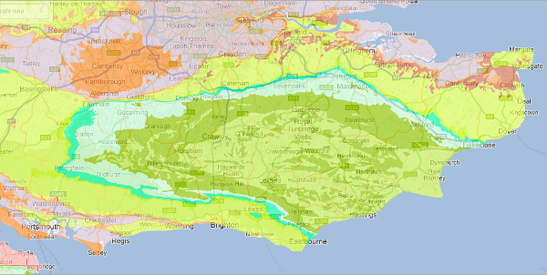
David Bangs’ (2018) The Land of the Brighton Line: A field guide to the Middle Sussex and South East Surrey Weald has an excellent map of the location of Wild Service Trees around Cowfold; and fascinating information about the history of the Low Weald
Sorbus torminalis is a rare tree now, and is an ancient woodland indicator species. Climate change (global heating) and the loss of wild graving (boar, domestic pig, and cattle) may be significant factors in the loss of Wild Service Trees
P. Roper The distribution of the Wild Service Tree, Sorbus torminalis
(L.) Crantz, in the British Isles. Watsonia, 19, 209-229 (1993) Retrieved from the BSBI Achive 22.04.26: Although the fruit is avidly devoured by birds, Wild Service seems only rarely to be bird-sown (the seed, with its thin testa, is probably digested in the bird’s gut) (Prime 1960). In large, lowland forests wild boar and other animals, including domestic pigs and cattle, may well have been important agents for the dispersal and burial of Wild Service seed: wild boar are known to like the fruit and the effects of their trampling on woodland ecology have been well-documented (Conwentz 1895; Darling & Morton Boyd 1969; Goodwin 1975; Tansley 1968). Elsewhere seed was, and still is, extensively predated by birds, small animals and invertebrates so that almost none remains (Corbetm1974; Janzen 1970; Tansley 1968; Termena 1972).
The wild boar as well as burying much seed by rooting and trampling, destroyed many small rodents (Tansley 1968) as did the much higher numbers of predatory animals and birds that were formerly widespread. Populations of voles and mice have increased substantially as predators have declined and animals like rabbits, grey squirrels and pheasants (all of which eat seeds or seedlings of Wild Service) have been introduced and have spread.
Like many trees and shrubs within the family Rosaceae, Wild Service seeds need a period of some three months of near freezing temperatures before germination will take place (Gordon 1982). In places where winters are longer and colder than in much of Britain, germination will normally take place in the first spring following seed formation whereas in Britain two or more years are often needed and the seed is at risk for far longer. This is true of many tree seeds, but the first spring germination that would have taken place more regularly during periods when the climate was colder could have helped the Wild Service to reproduce from seed in slightly larger numbers in those days.
While a cooler, less continental, climate and increased seed and seedling predation coupled with other factors may have reduced populations of the Wild Service and prevented recolonisation, its survival in ancient hedges and woodlands has been helped by its ability to reproduce from suckers.
Wild Services live a long time: Mitchell (pers. comm., 1975) has estimated the age of large old treesto be around 200 years and many of these may themselves have arisen from suckers produced from an earlier generation of trees. Some mature populations – that in Epping Forest, for example – have been shown to originate largely from suckers (Uoyd 1977) and O. Buckle (pers. comm., 1975) was of the view that virtually all the Wild Services that he knew of in West Sussex (for which he wasB.S.B.I. vice-county recorder) had originated from suckers. No one knows how far back these sequences may have extended since the original seeds germinated, but it is clear that the species can survive for long periods before conditions recur in which seeds germinate freely. Sust beneath the soil surface).
More evidence has come to light to show that the tree was formerly more abundant than today, though probably never common in most areas. There is no doubt that the species is found almost exclusively in ancient woodlands and hedges or on rocky outcrops, unless planted, and its value as an indicator of primary woodland is confirmed.
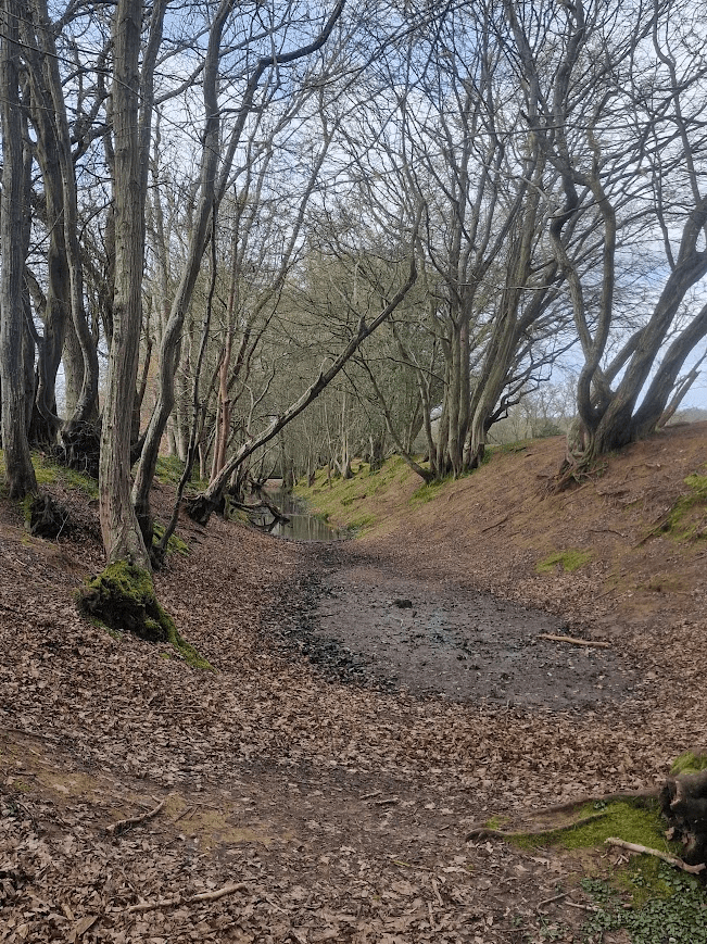
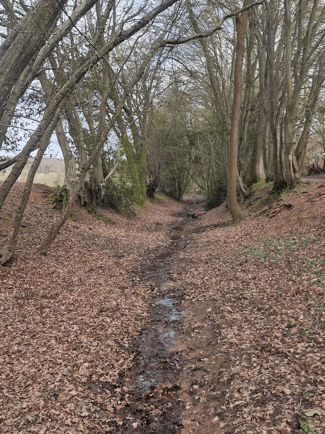
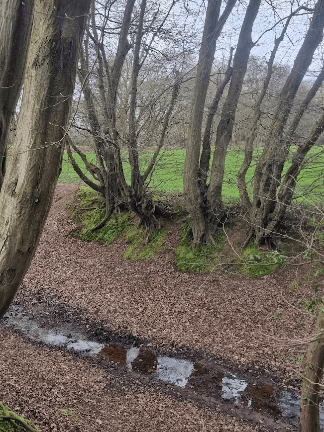
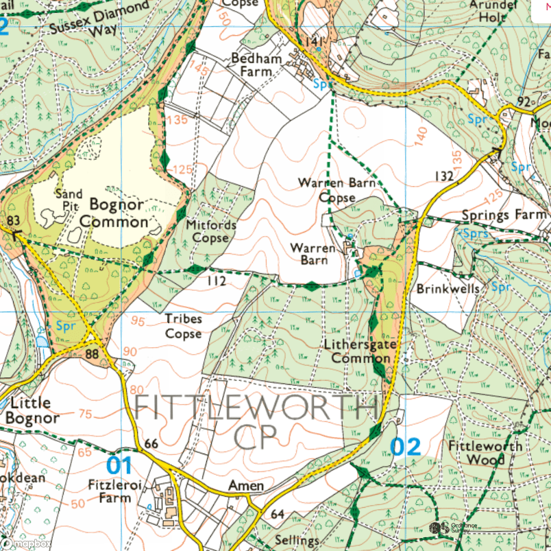
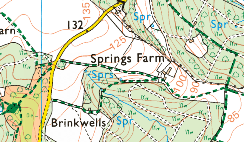
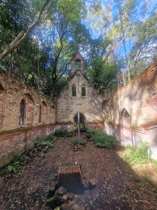
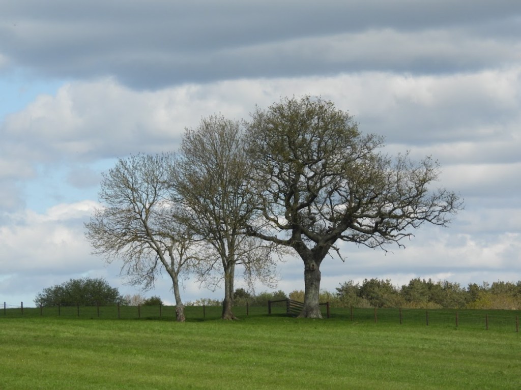
Wild Service Trees of the Low Weald
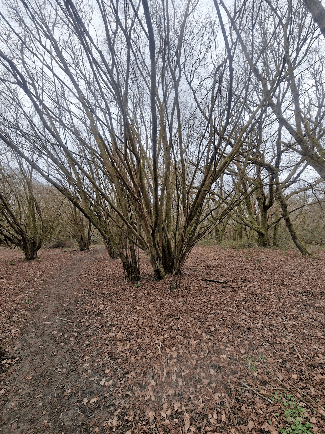
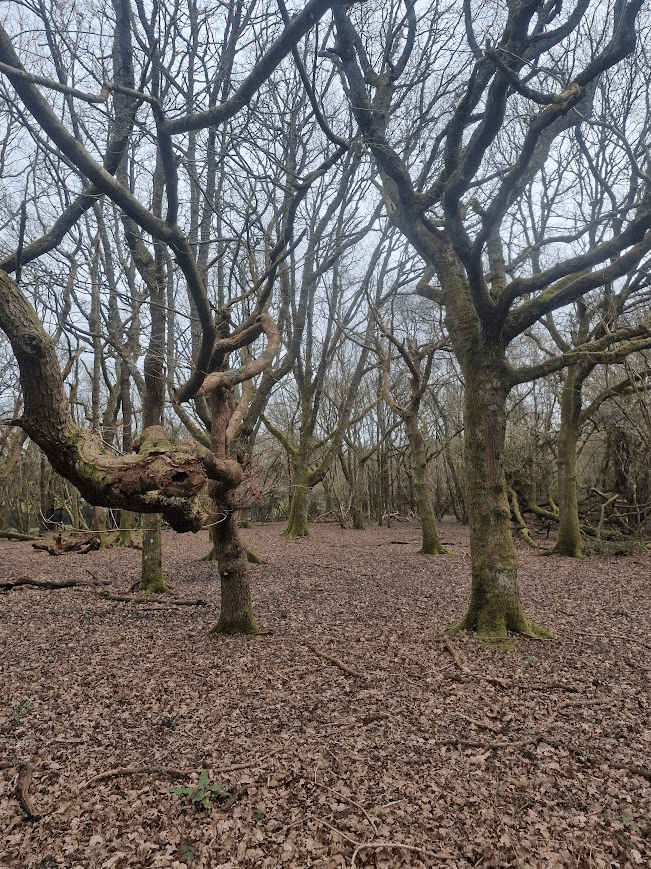
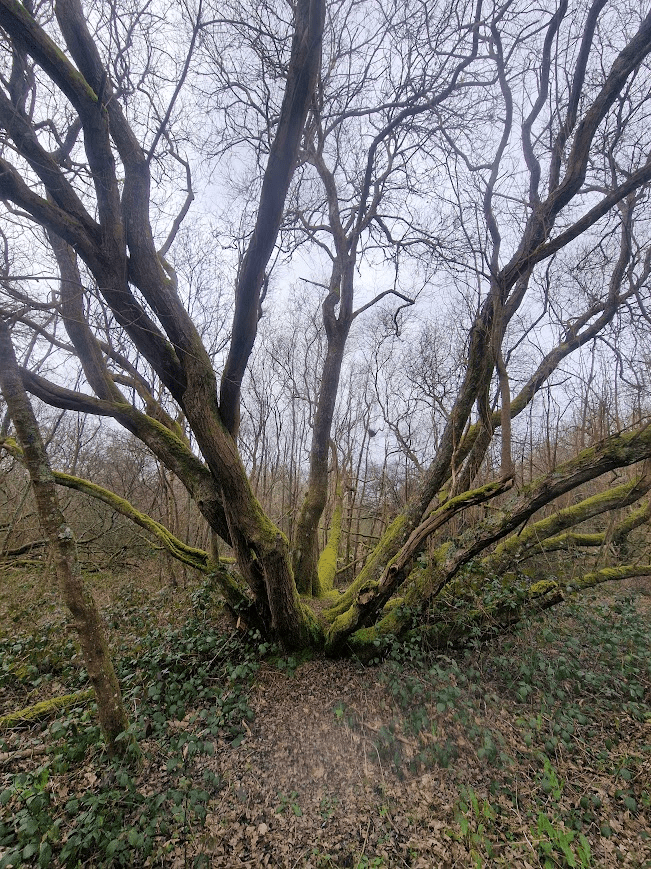
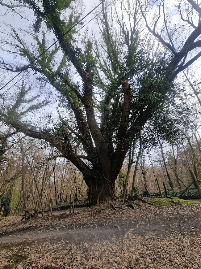
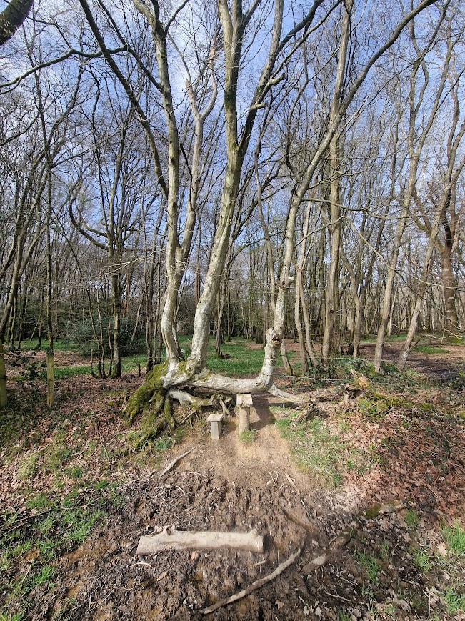
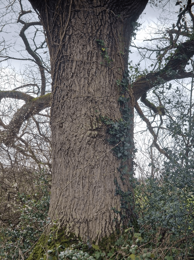
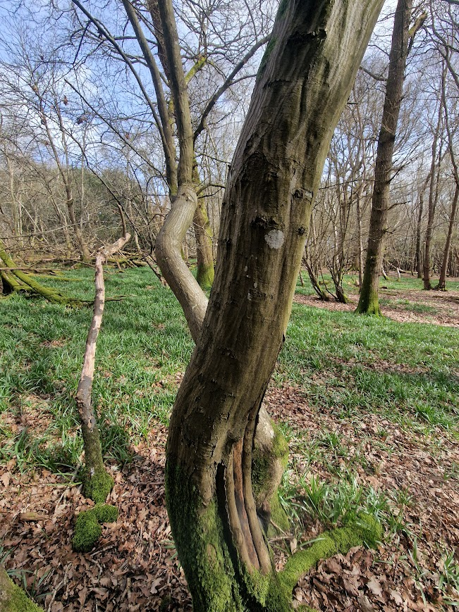
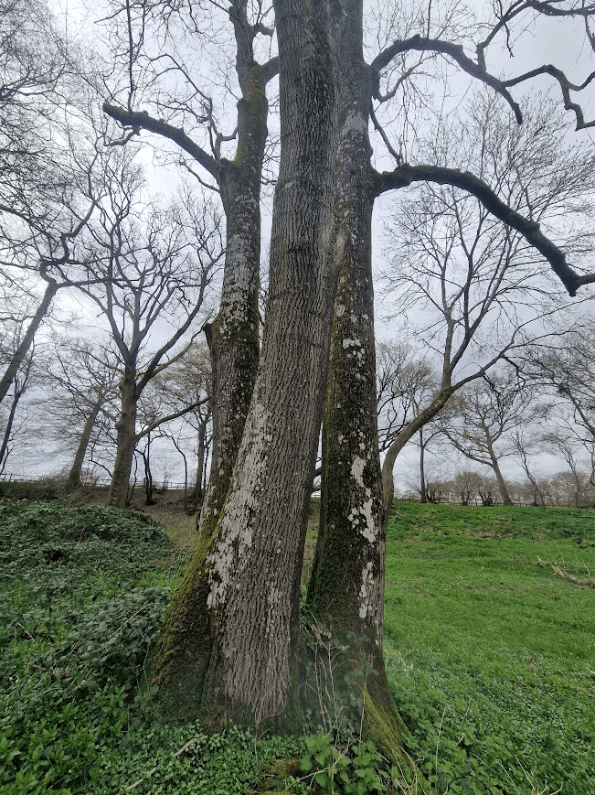
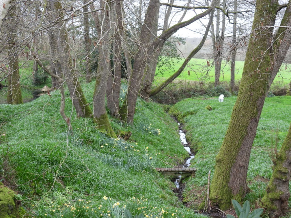
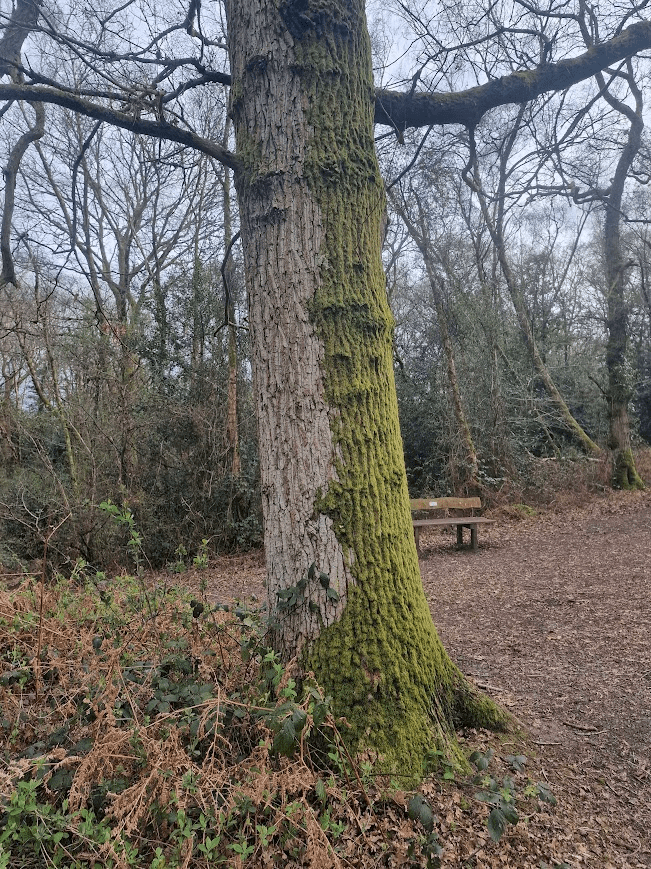
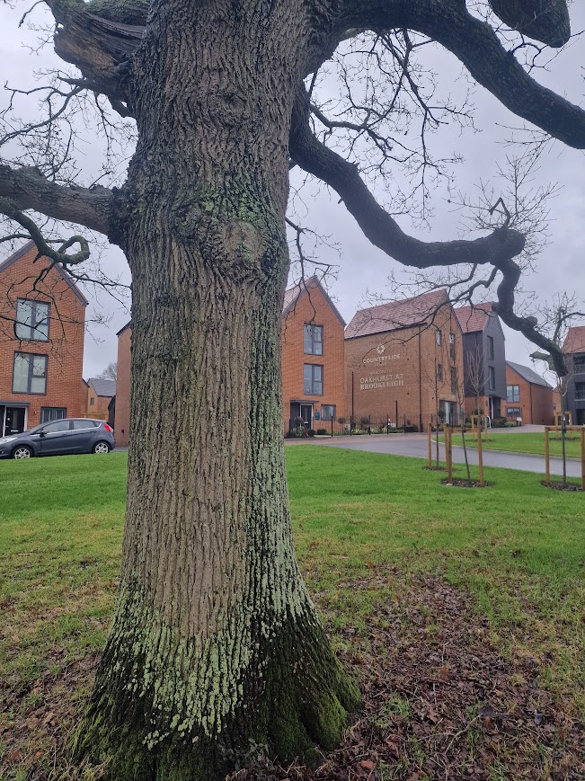
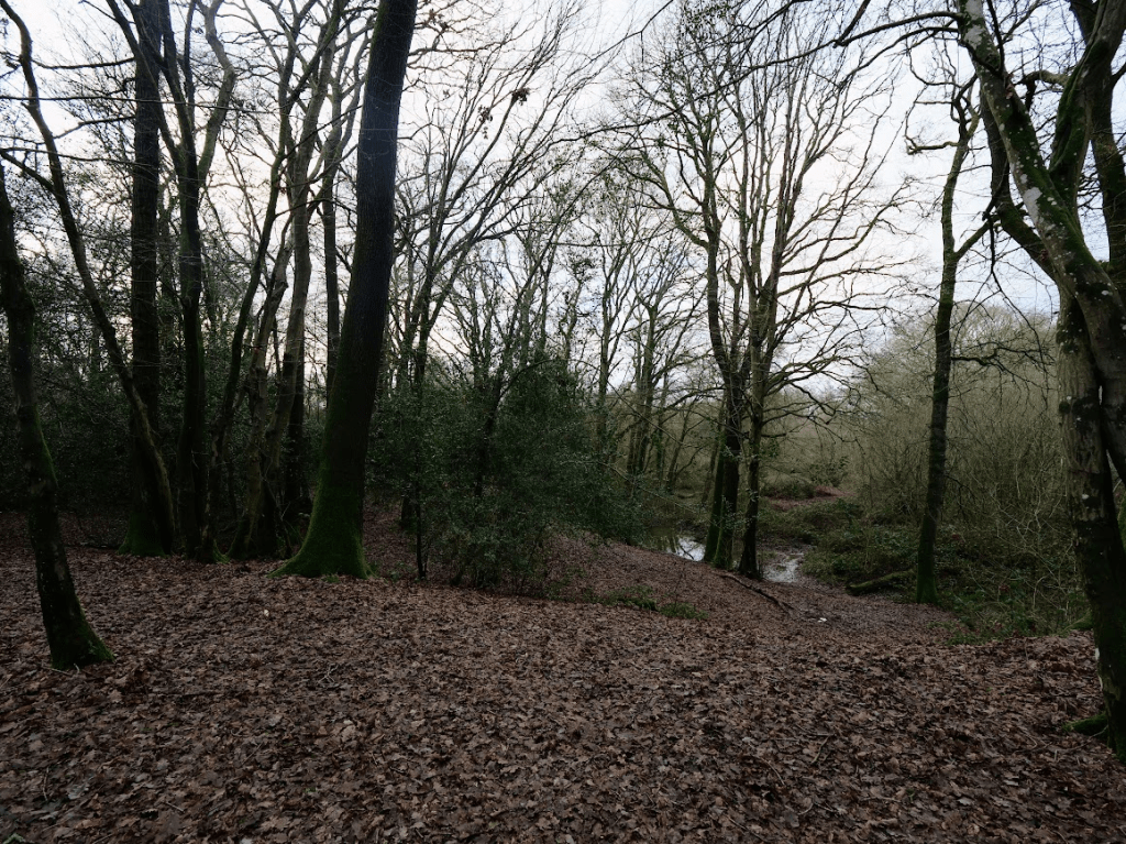
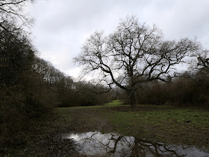
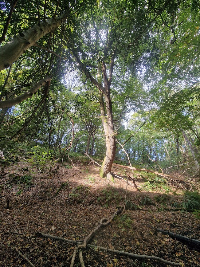
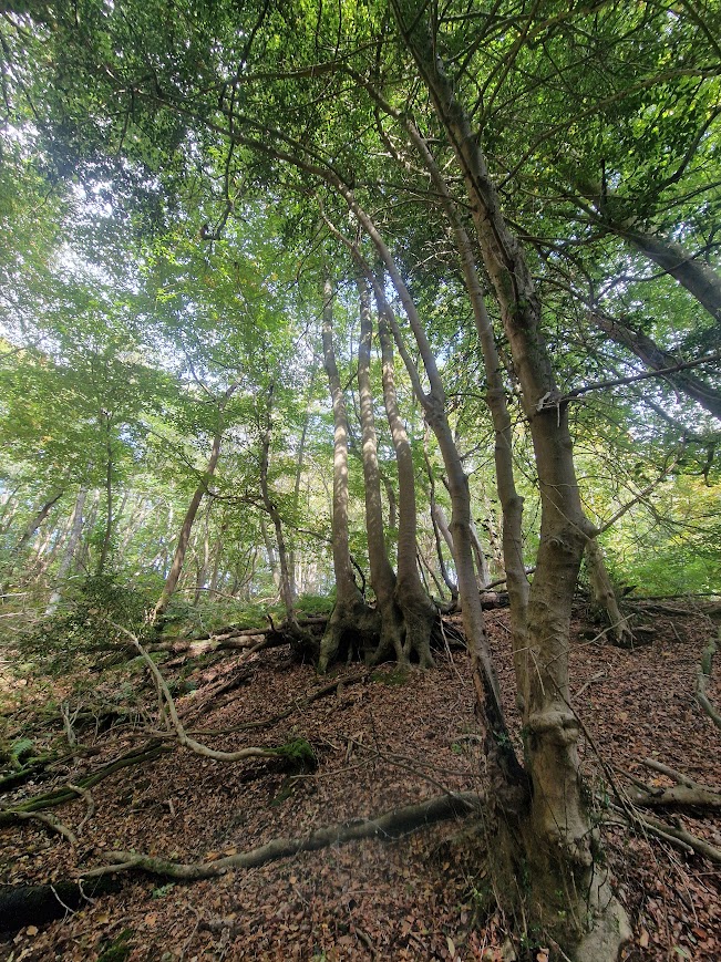
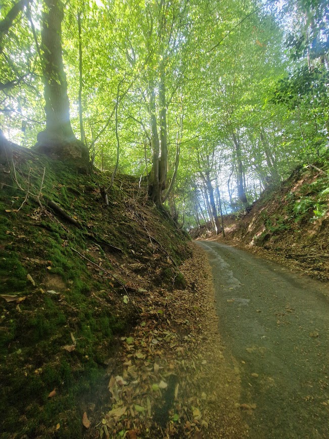
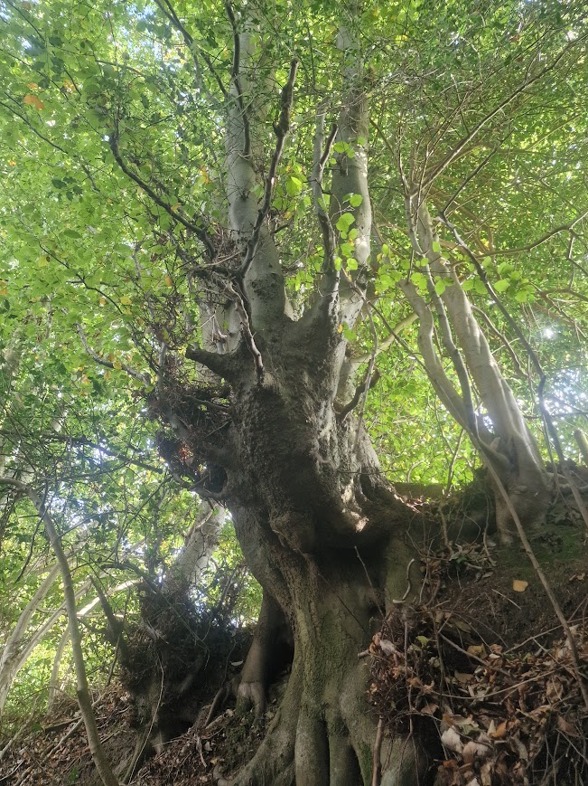
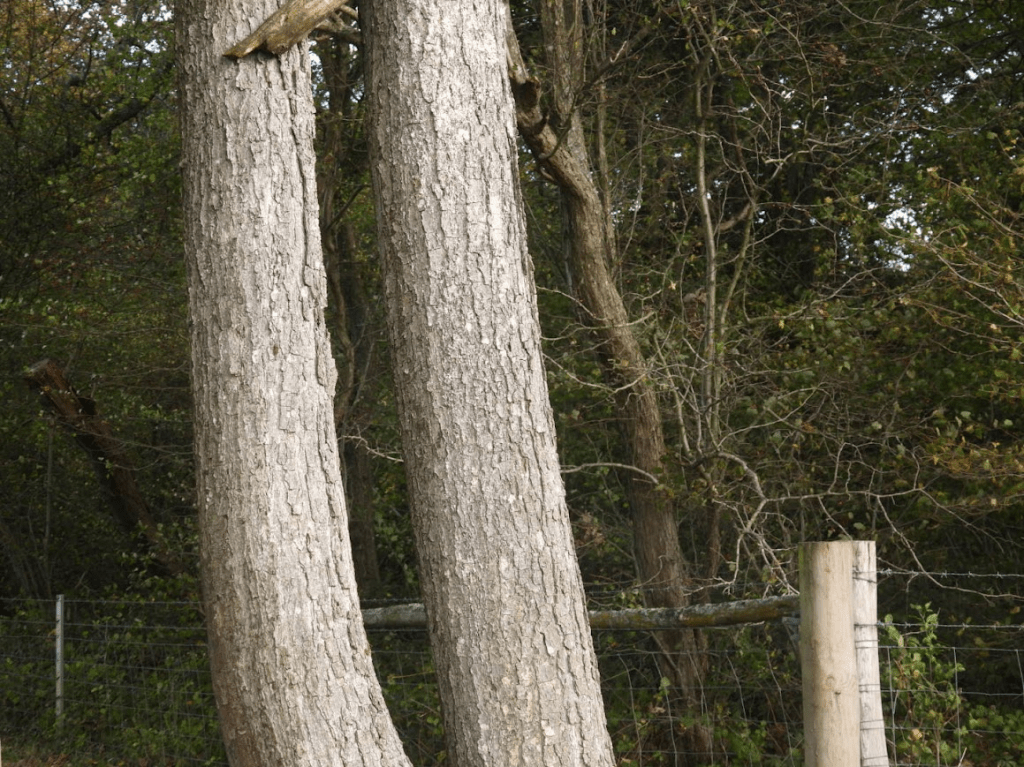
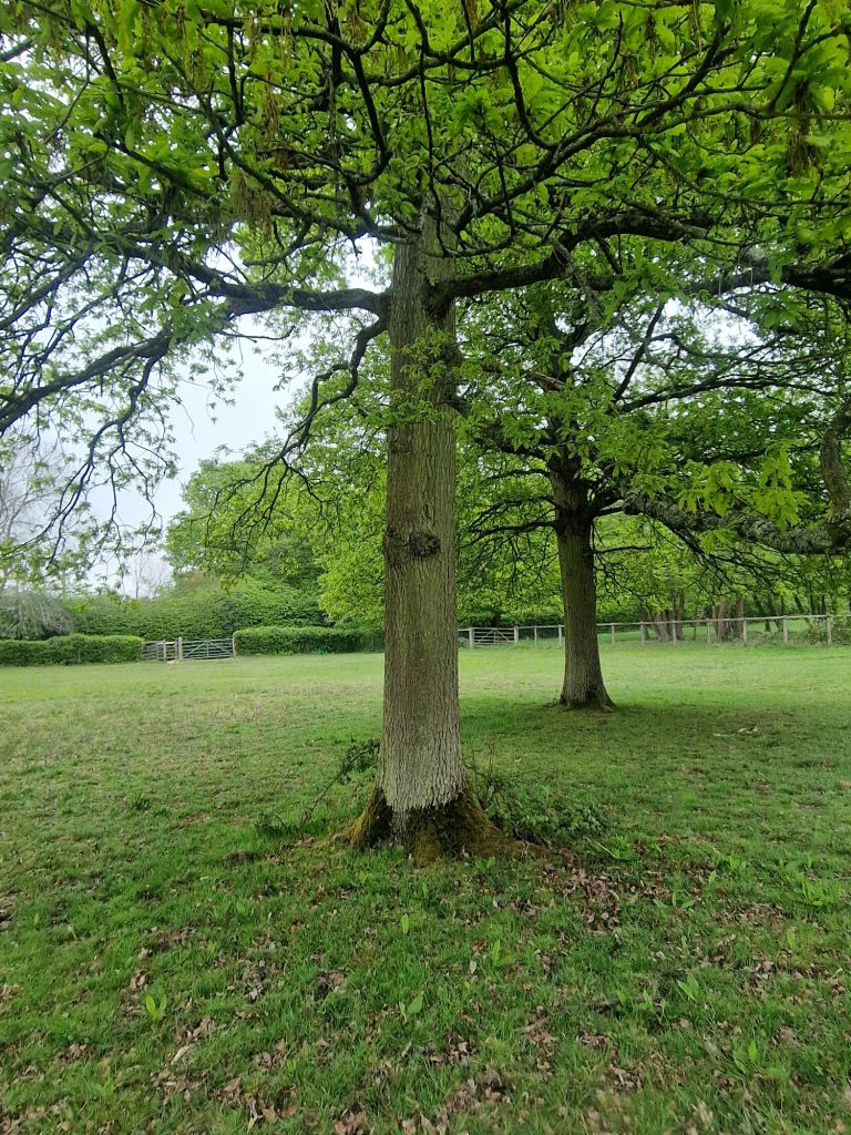
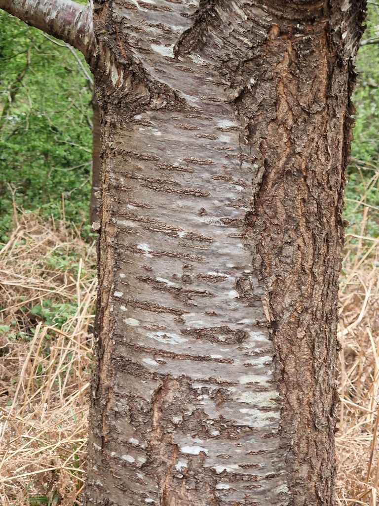
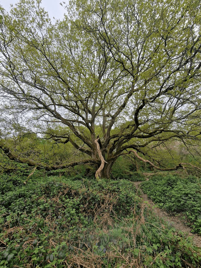
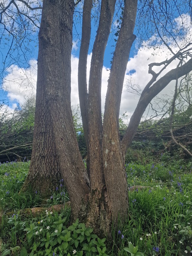
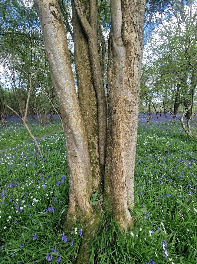
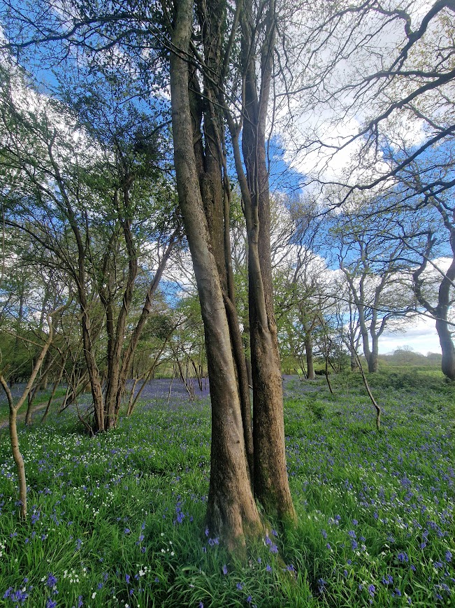
Whilst Wild Service Trees are rare nationally, the Low Weald of Sussex is one of their strongholds; so you can discover them on your own when you know what you are looking for. In my experience most Wild Service Trees in Sussex are multi-stem trees (historically coppiced many years ago)
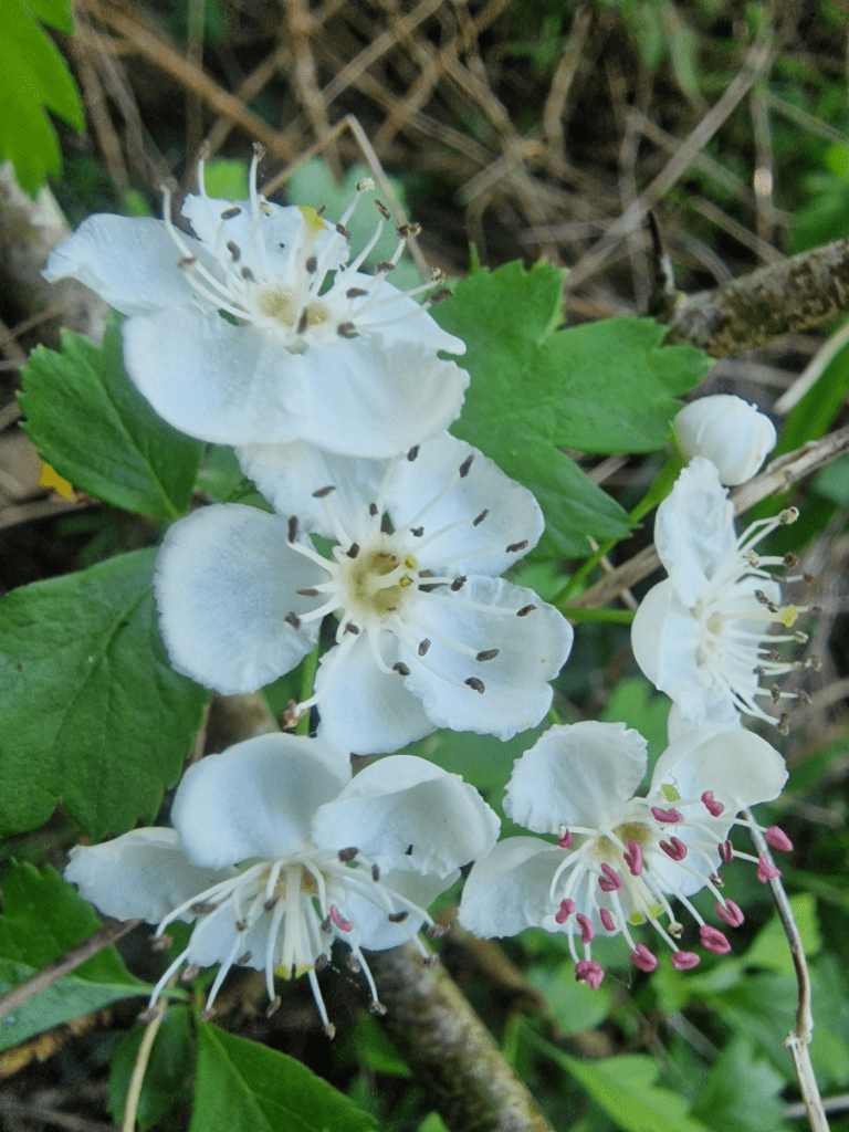
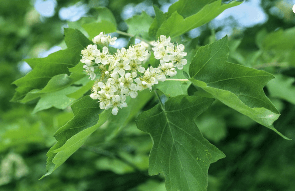
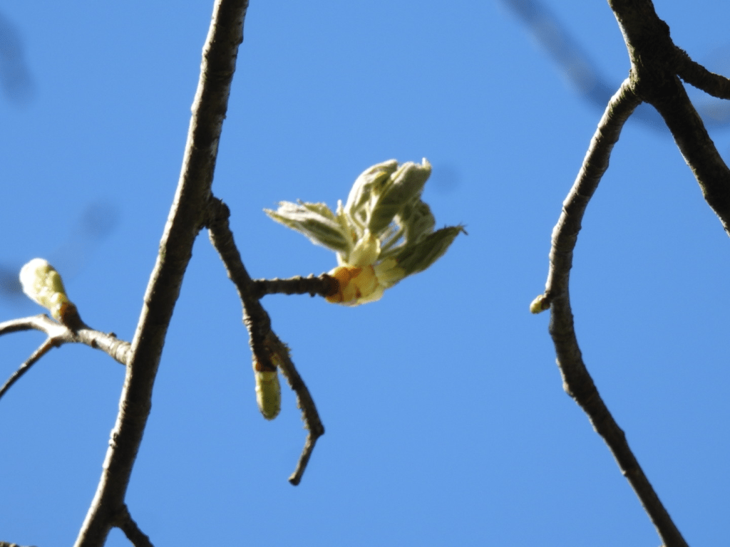
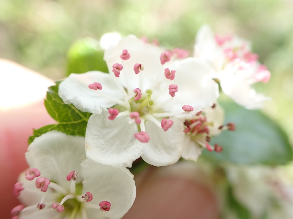
In early May their flowers are characteristic:
Photo from the Woodland Trust:Wild Service Tree (Sorbus torminalis) – Woodland Trust 5-petalled flowers arranged in loose, flat-topped clusters (up to 12cm across). All the other photos in the post were taken by me
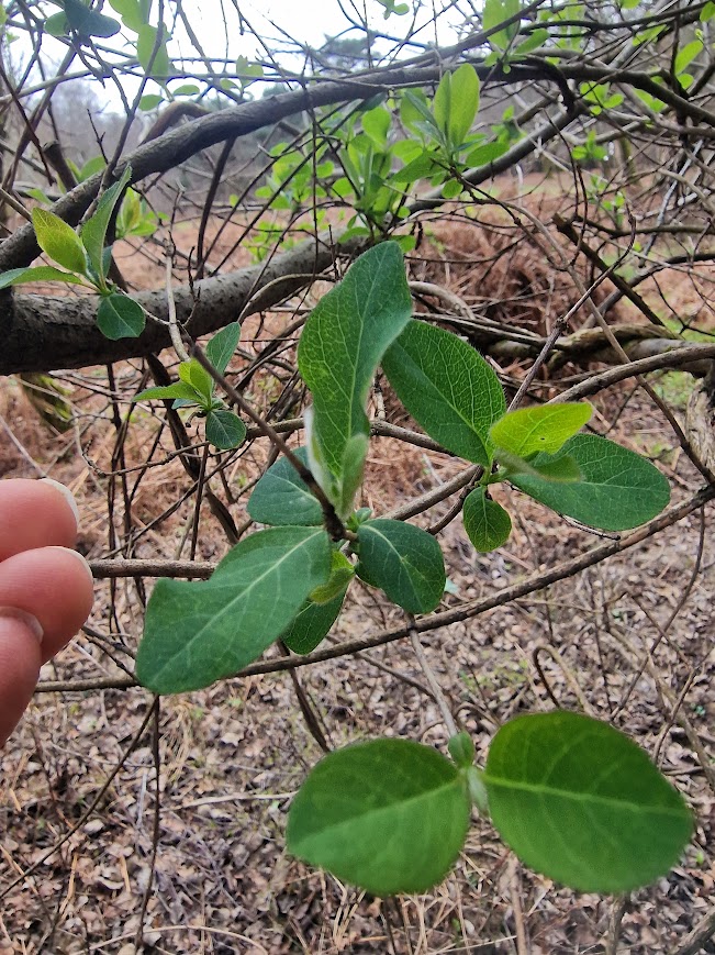
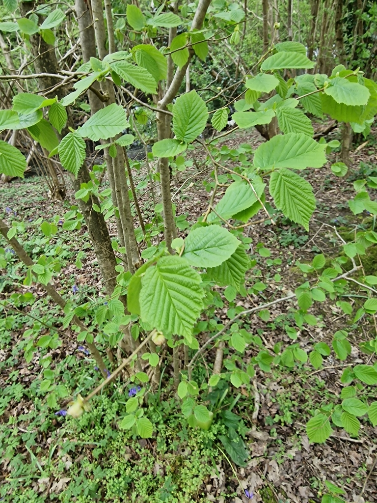
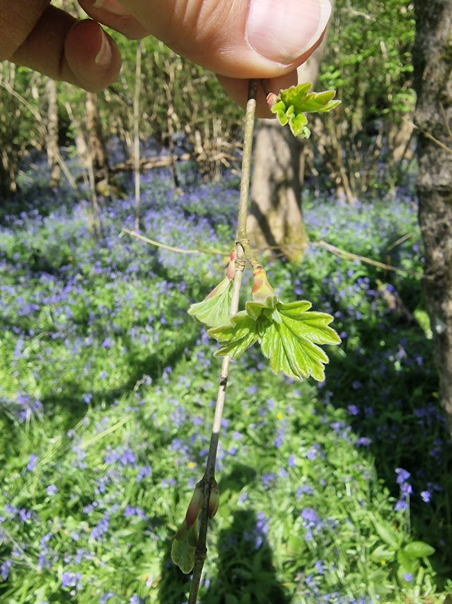
Leaf buds
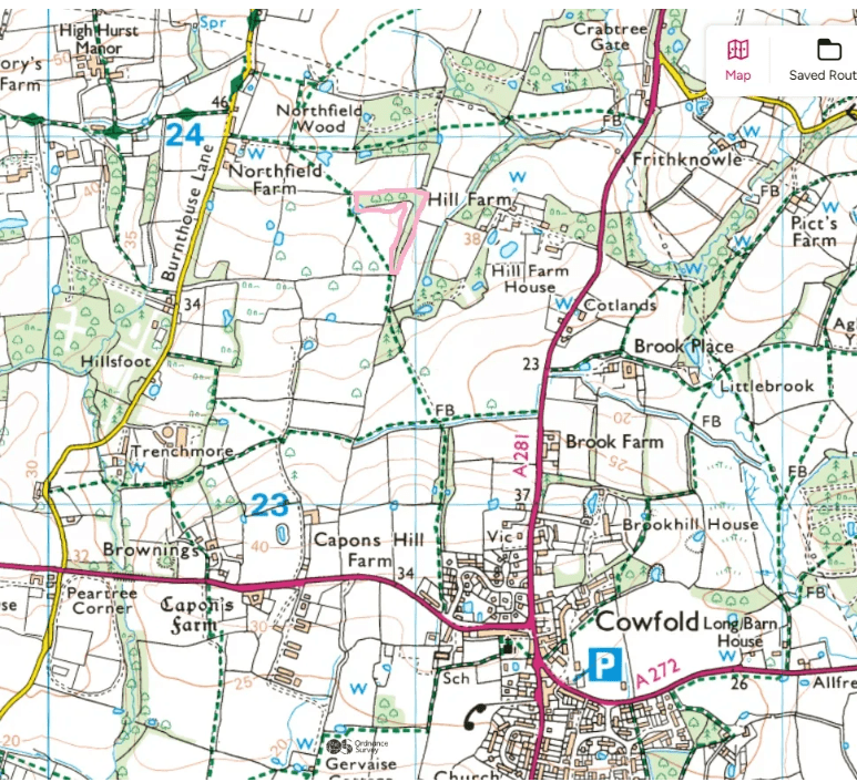
A tree north west of Cowfold, found using Dave Bangs’ map, on 16th April 2024
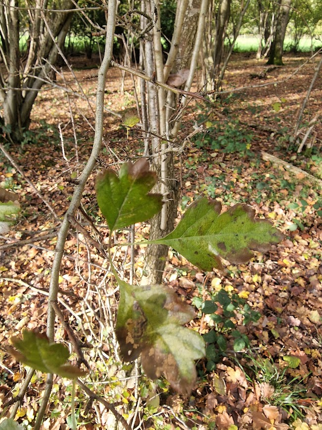
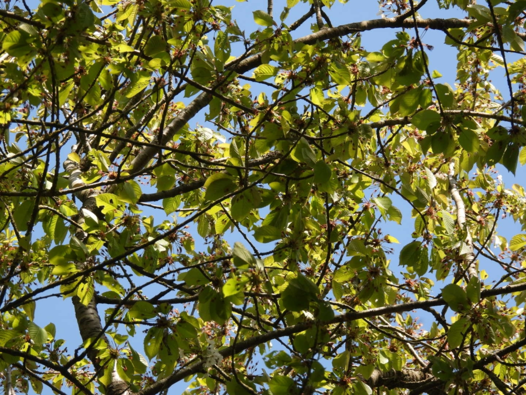
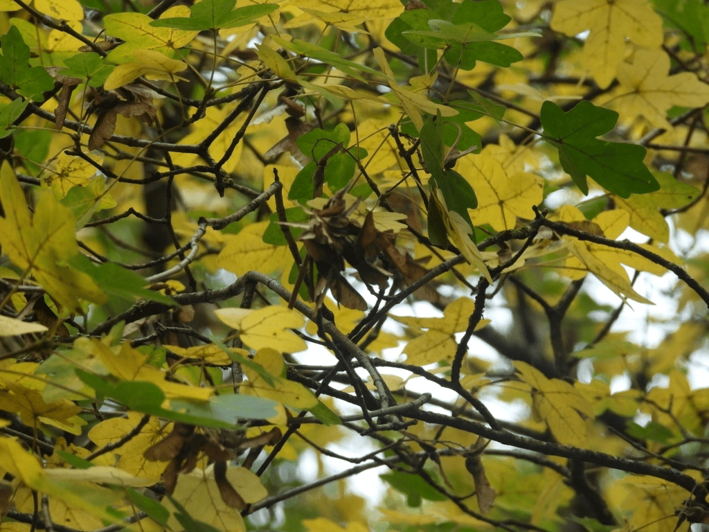
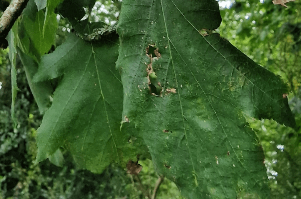
As Wild Service Trees only flower for a few weeks, sometime between late May and early June, for most of the year look for the characteristic leaf shape is the probably the most reliable way of identifying them
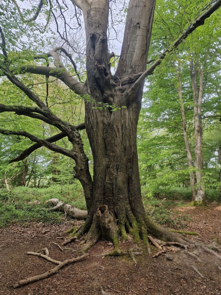
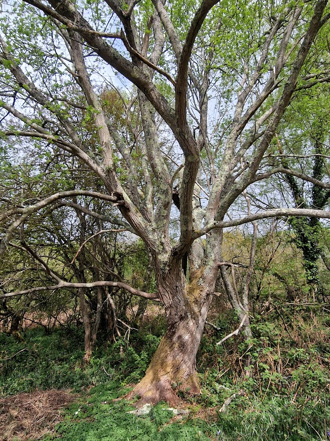
A tree in Staffhurst Wood SSSI on 30th July 2025. Surrey, near the Kent border, in the Surrey part of Low Weald, approximately 3 miles south of Limpsfield and close to Oxted
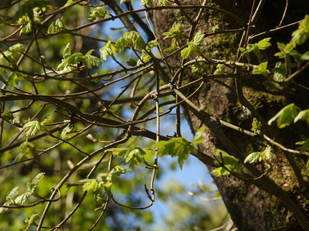
Leaves emerging. Photo form 20.07.26. Capite Wood
Leaves emerging. Photo form 20.07.26. Capite Wood
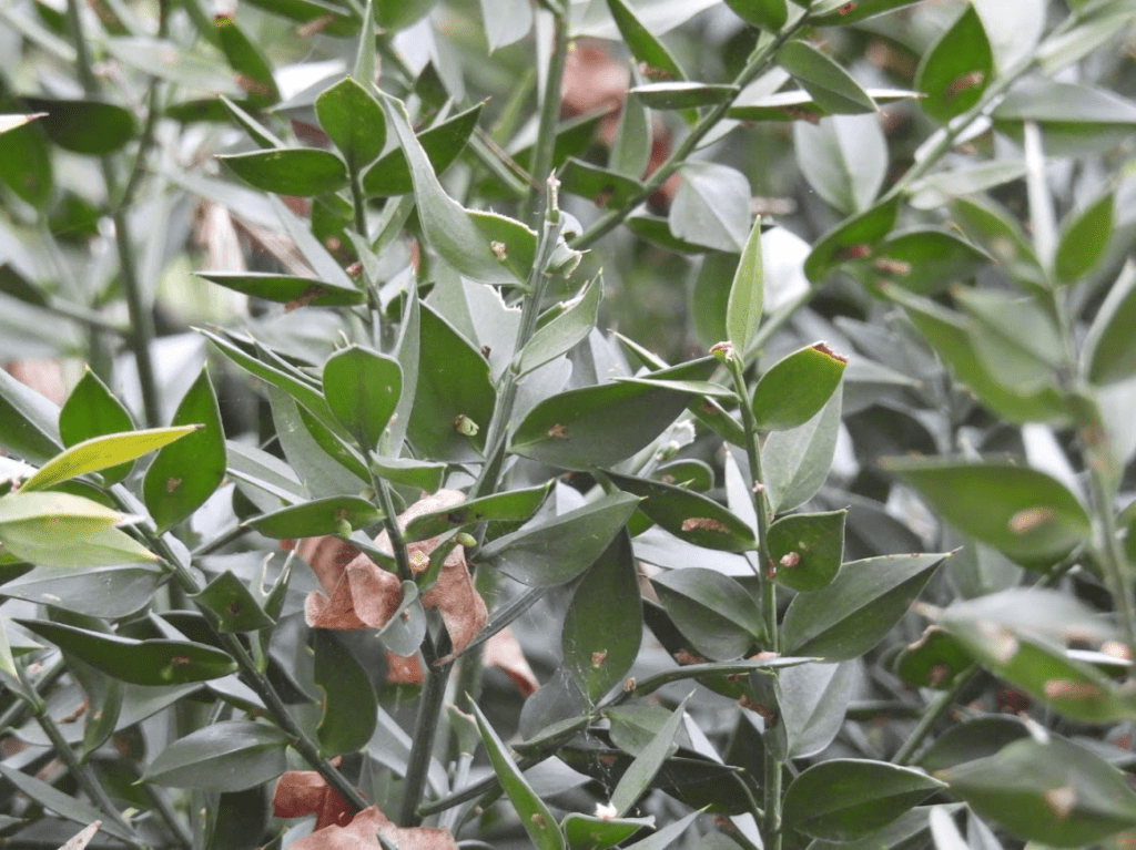
The leaves are broad and angular, similar to field maples or hawthorn. Some lower lobes may sit almost at right angles to the leaf stalk. They are dark green on both sides, though they may have a slightly paler, velvety appearance underneath. Young leaves are covered in silvery, glistening hairs, which disappear to leave a shiny surface. The leaves are arranged alternately on the twig.
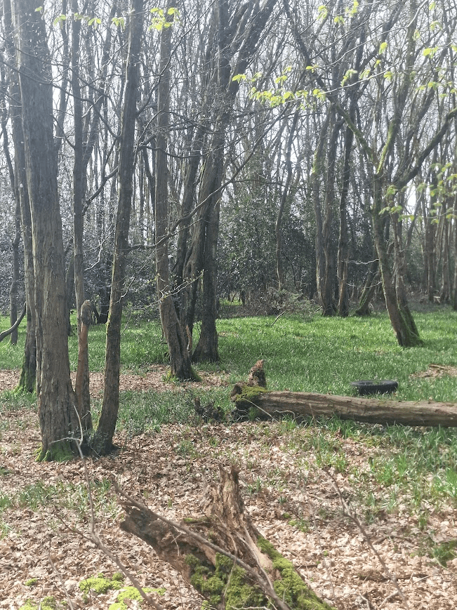
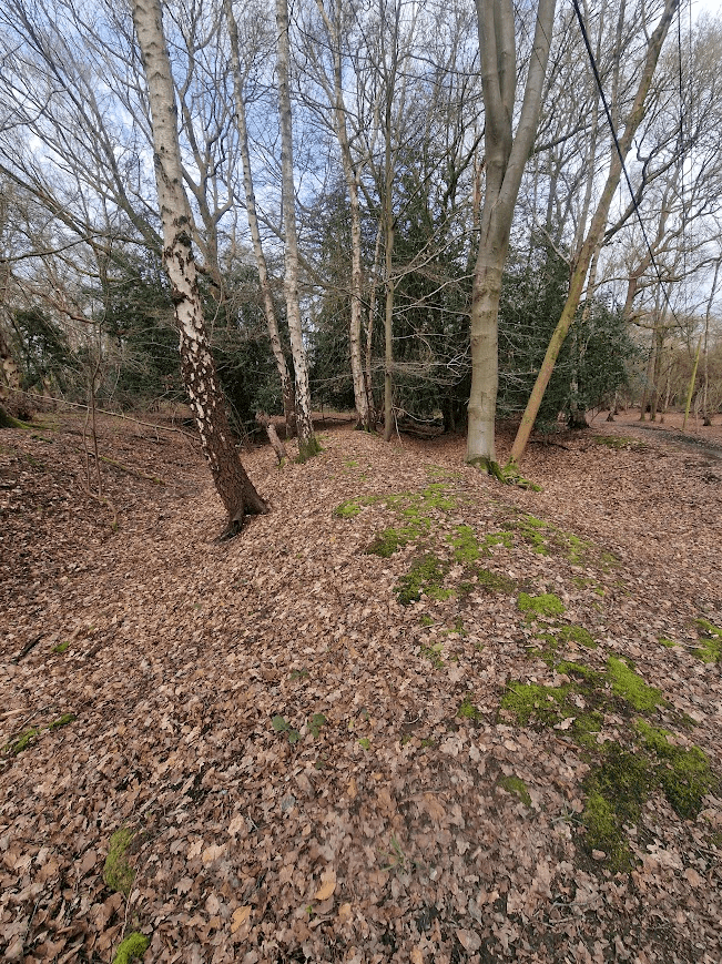
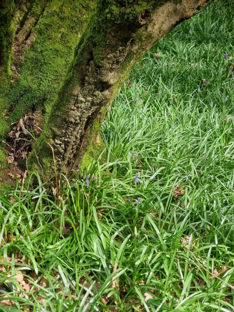
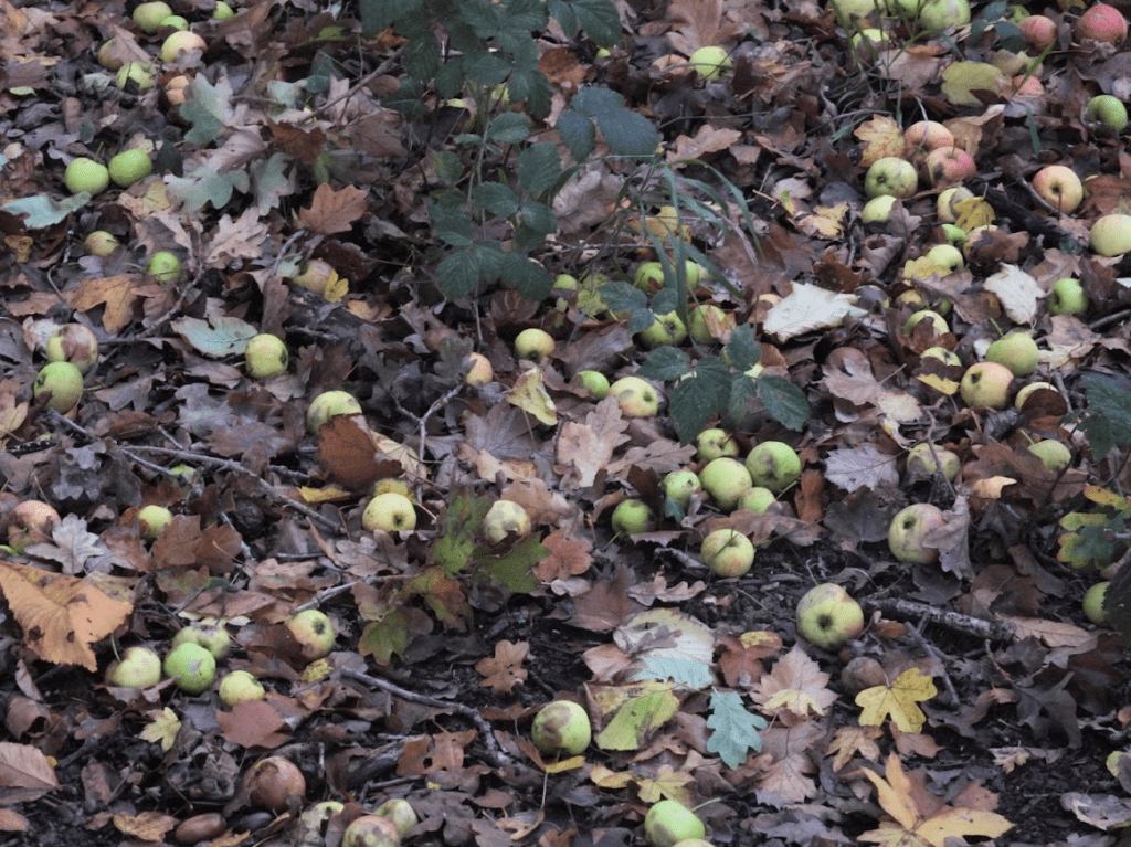
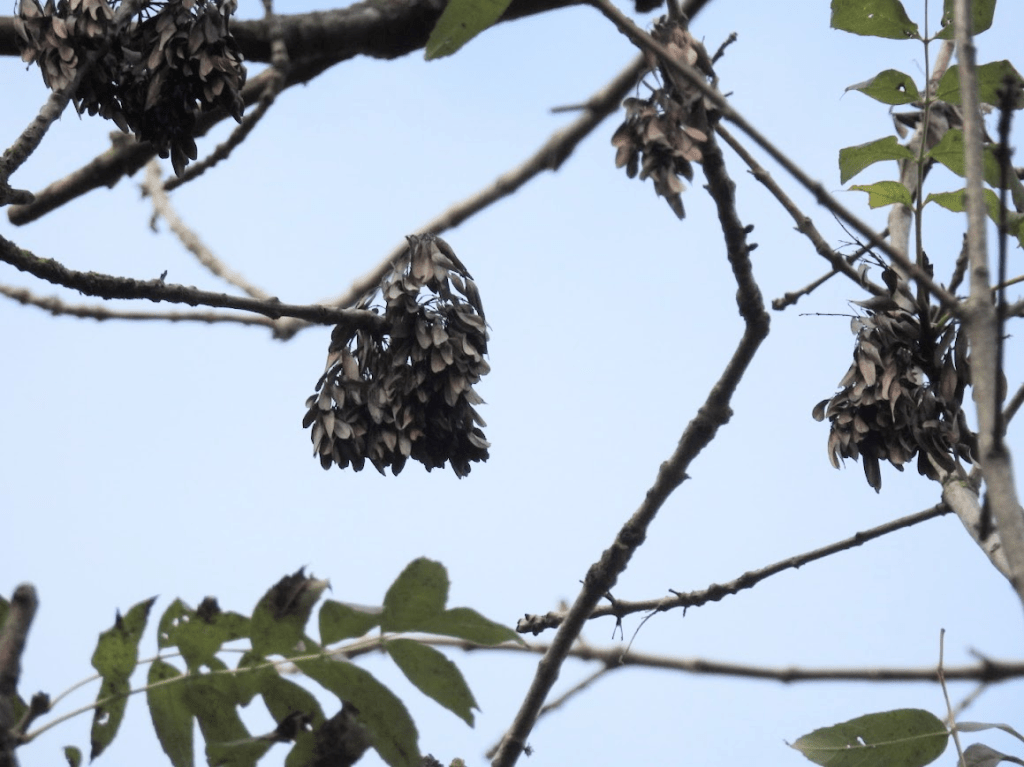
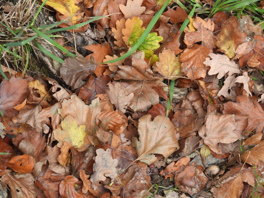
Autumn Leaves, a Cowfold Tree, 25th October 2025. Looking at the ground may help you identify Wild Service Trees in Autumn and Winter. A photo from the base of a Wild Service Tree near Cowfold
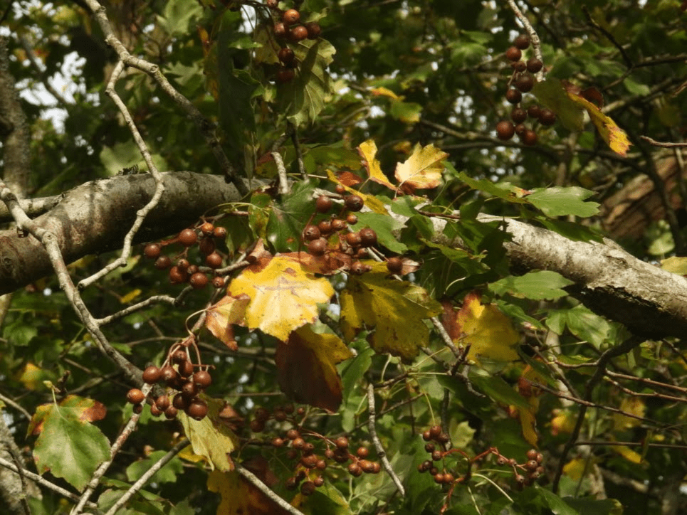
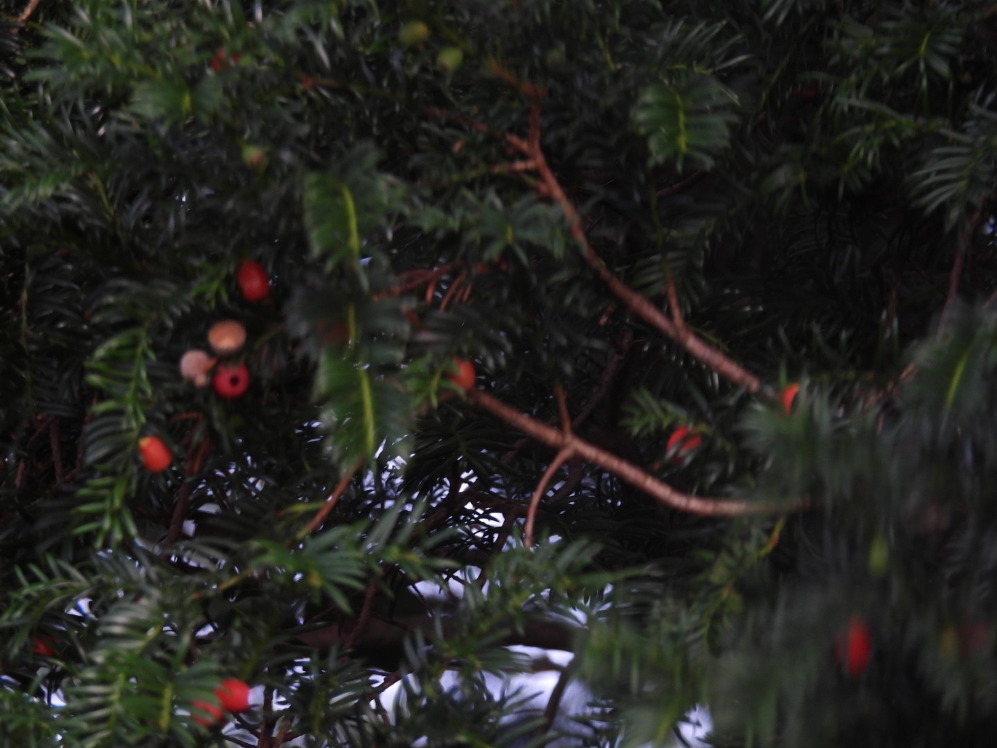
In late Summer their fruit, “chequers”, are very characteristic. A photo from Staffhurst Wood
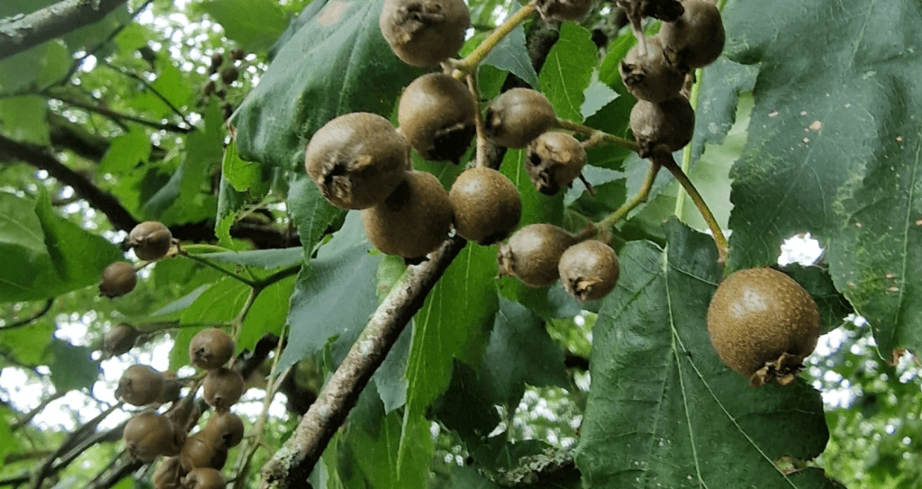
In Sussex and Kent the chequers were used to flavour beer called Chequers Ale, and children used to eat the berries after drying them
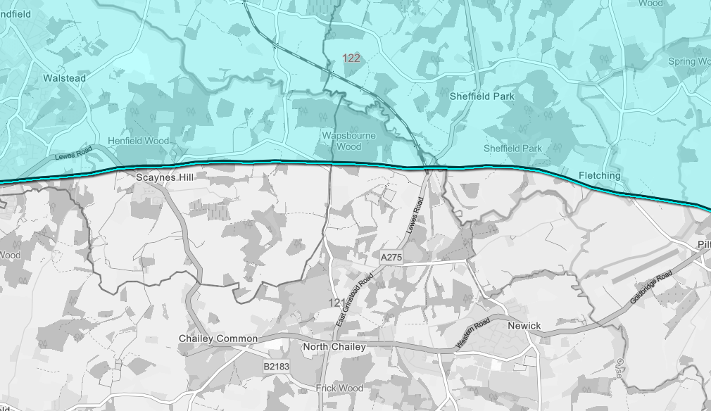
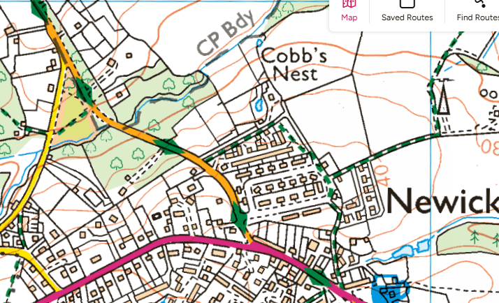
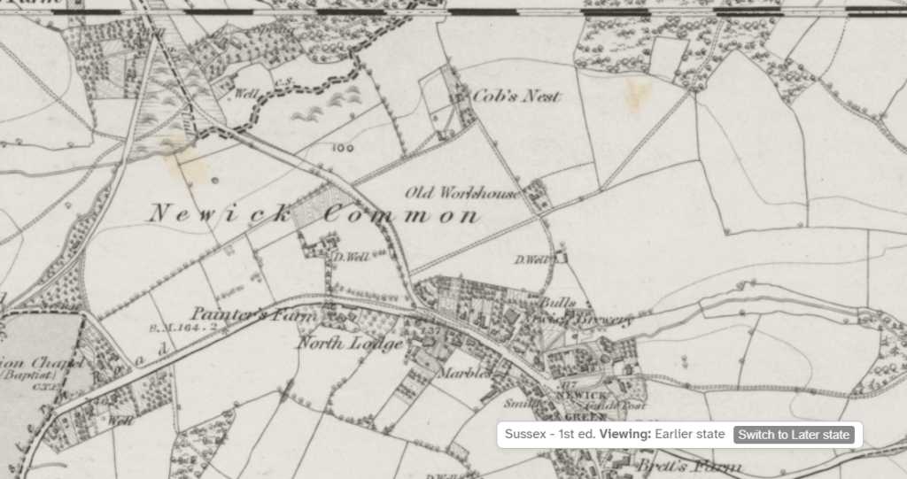
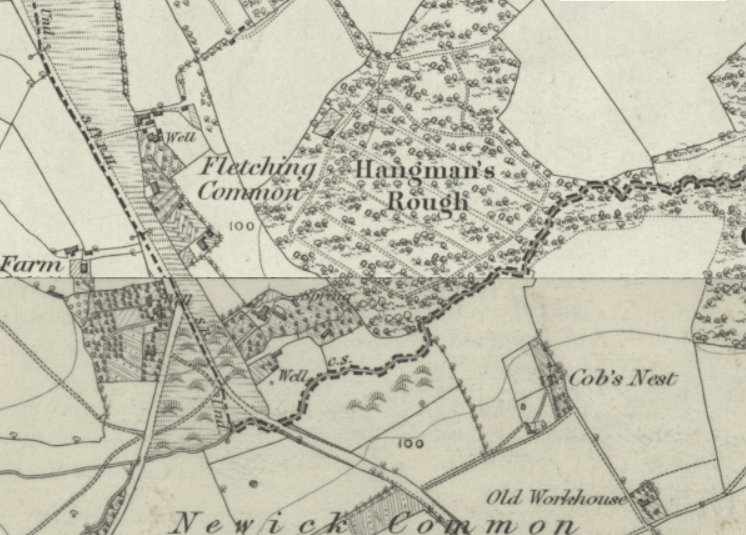
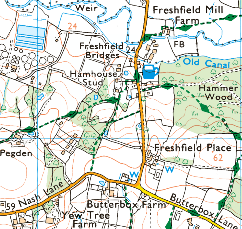
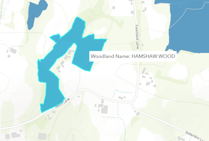
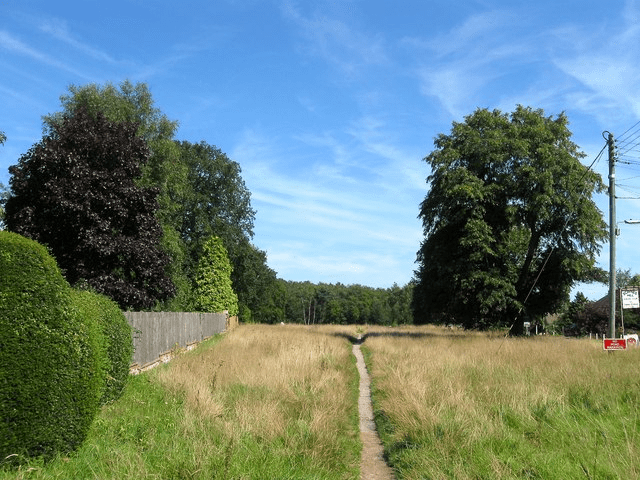
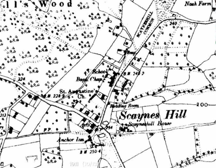
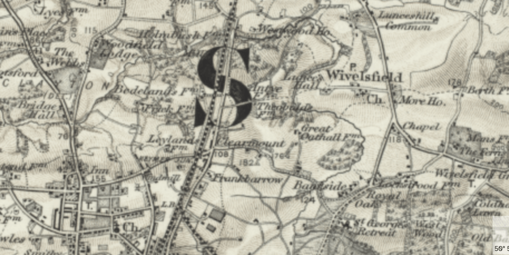
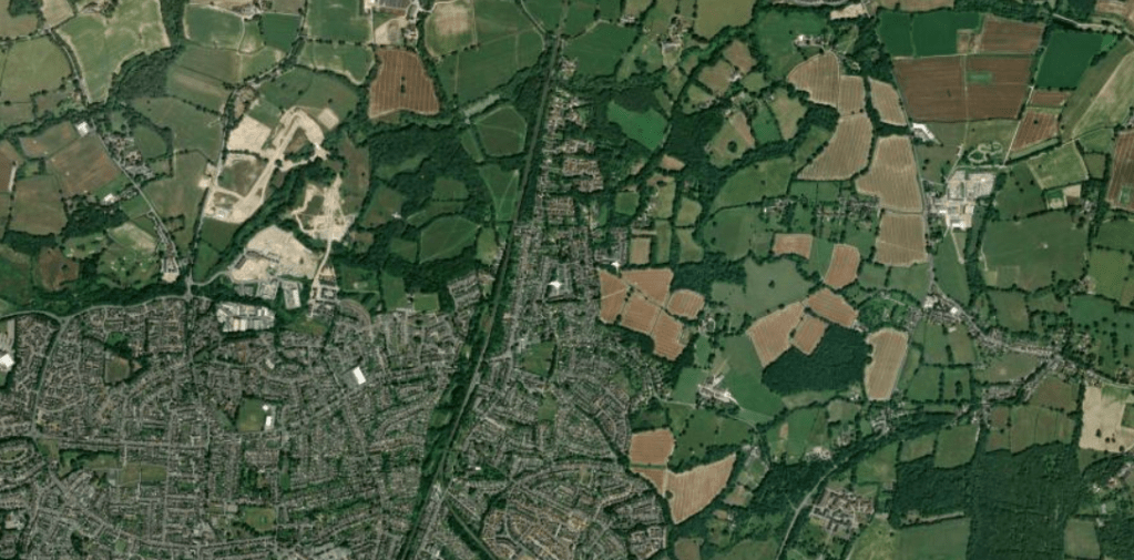
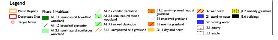
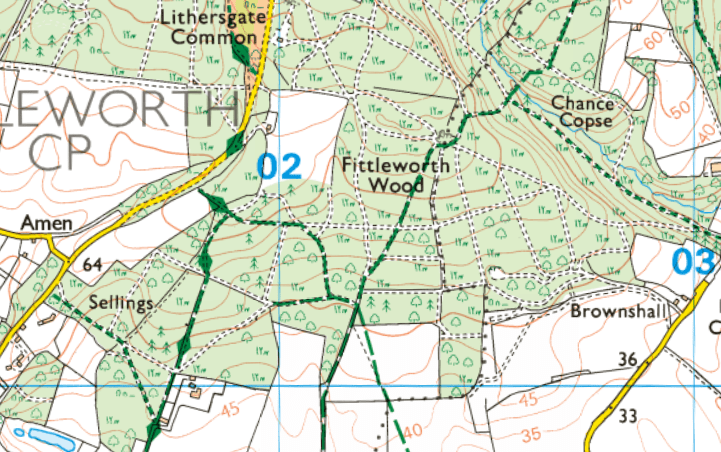
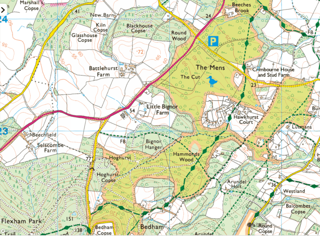
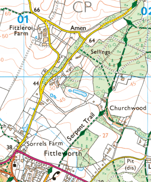
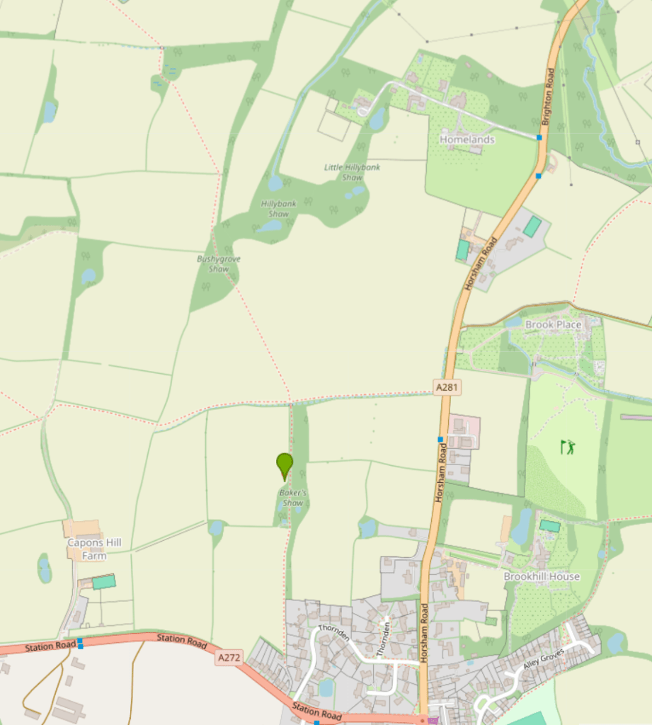
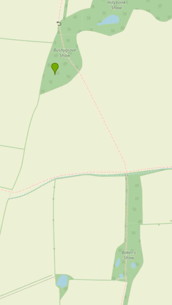
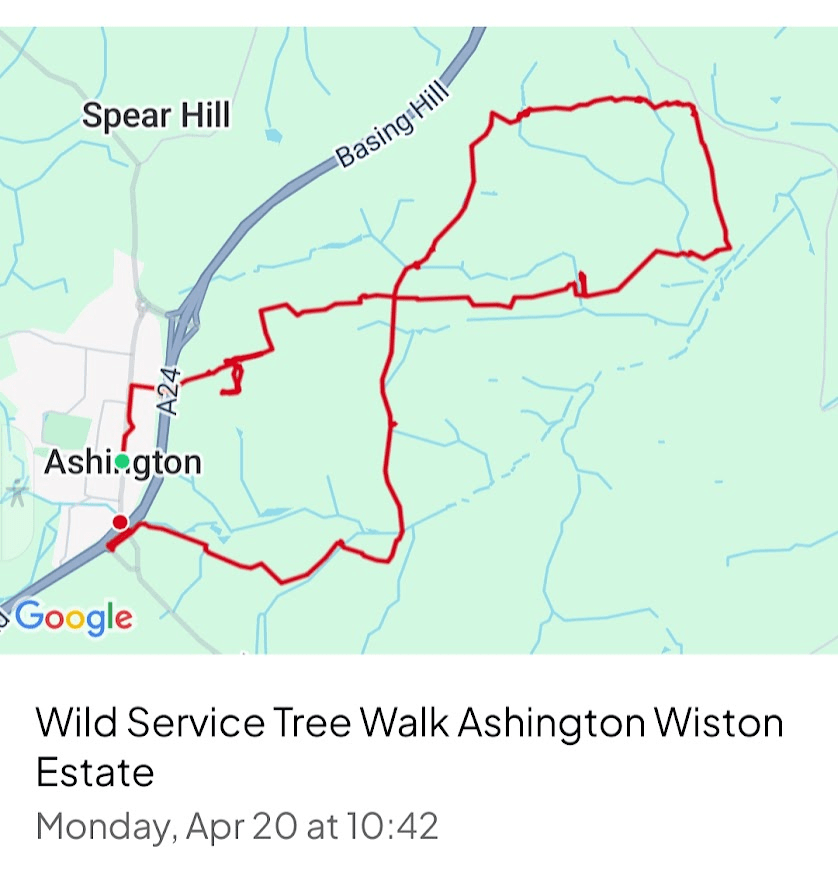
To get to Ashington I took the train from Brighton to Worthing, and then got the Metrobus 23 bus to Ashington (every 30 minutes, journey time 30 minutes). Here is a map of my walk
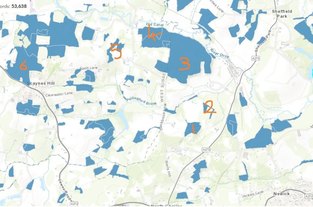
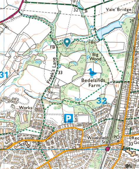
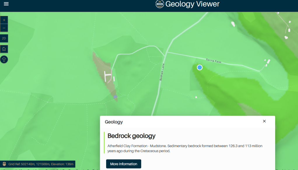
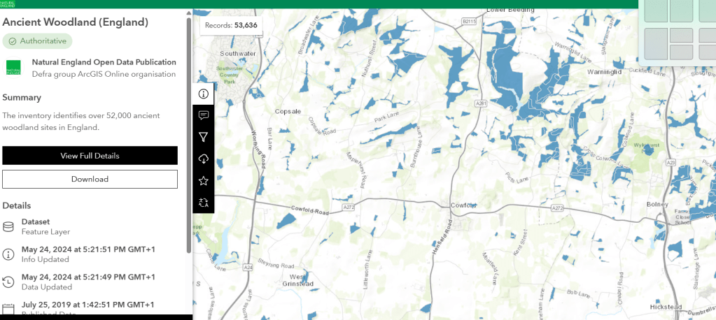
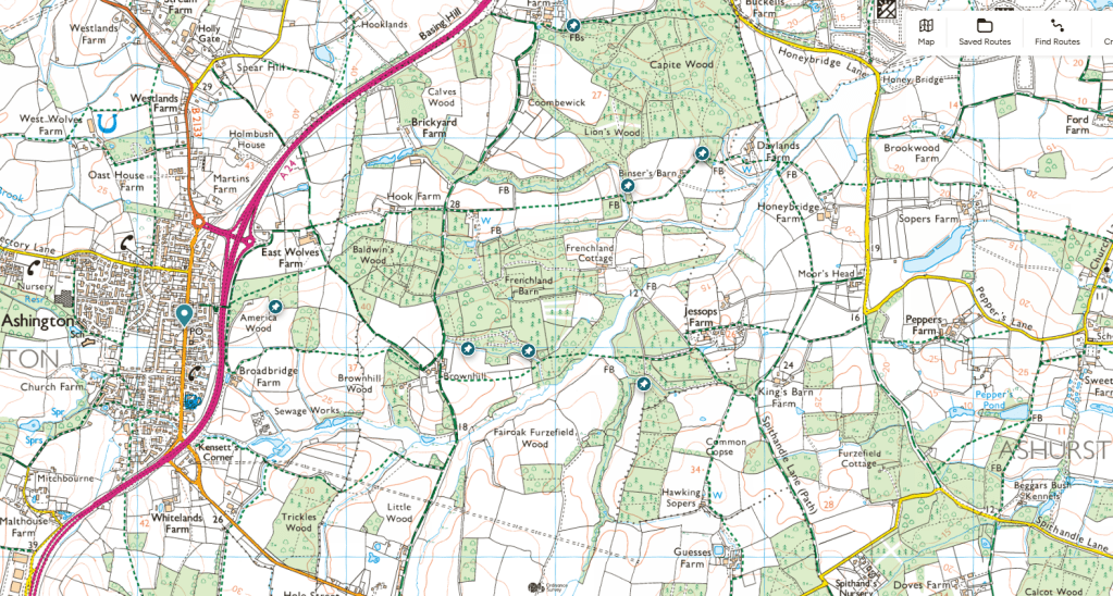
The location of Wild Service Trees I found through accessing the Woodland Trust Ancient Tree Inventory accessed online 19.04.26 and filtering for Wild Service Trees. This inventory can be accessed for free. To search for trees click here: tree search page
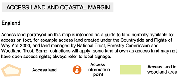
Here are the Wild Service Trees I found through the Ancient Tree Inventory, transferred to OS pins, from grid references given by the Ancient Tree Inventory. This is a screen shot from the on-line OS explore retrieved 23/04/26 © Crown copyright and database rights 2025 Ordnance Survey under license 1156 0223 8260 7202. It is necessary to purchase a subscription to access OS maps online. I would recommend purchasing a subscription for all the OS maps in the UK, as you can access this on a Smart Phone or your laptop or tablet, and the GPS tracker tells you where you are; important if you get lost. I found these trees by having the OS App running on my smart phone whilst walking in the woods and occasionally looking at the GPS pointer to tell me where I was in relation to the trees.
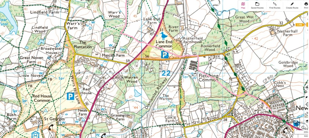
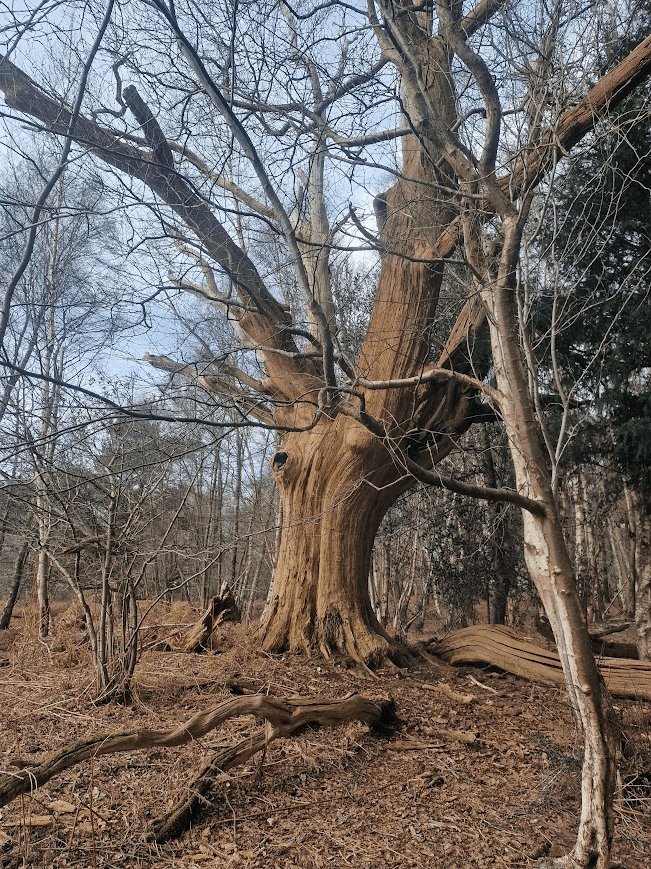
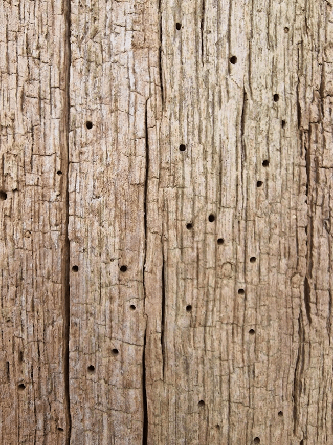
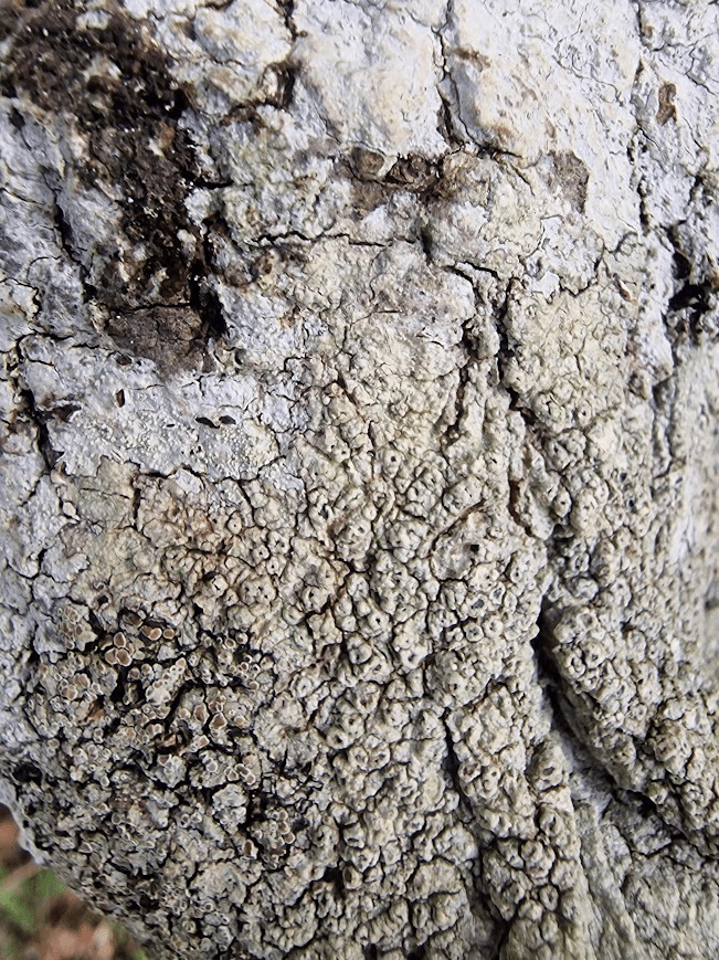
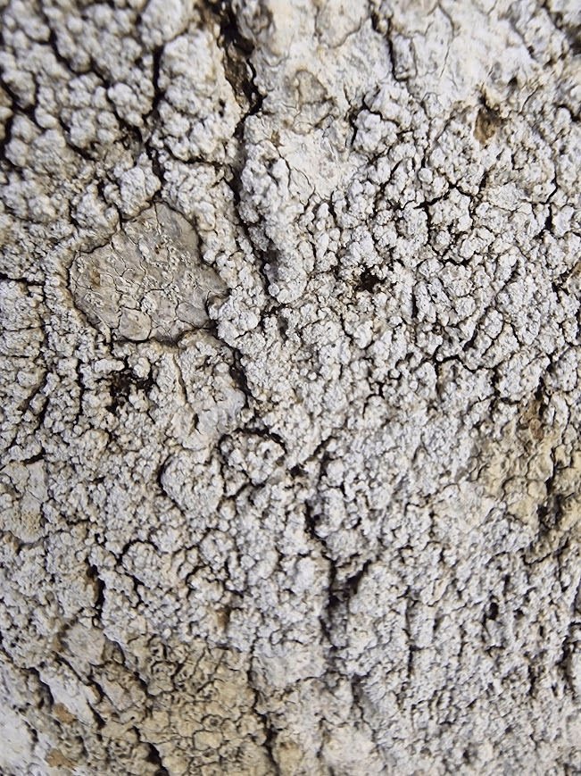
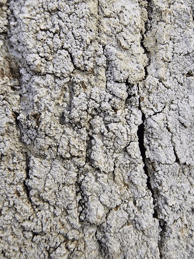
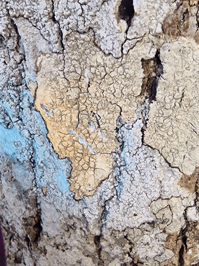
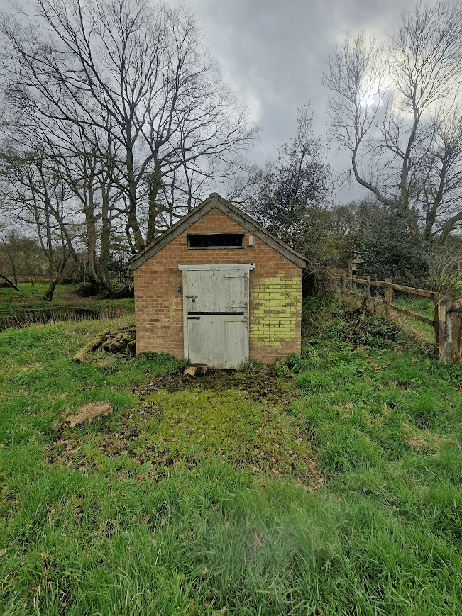
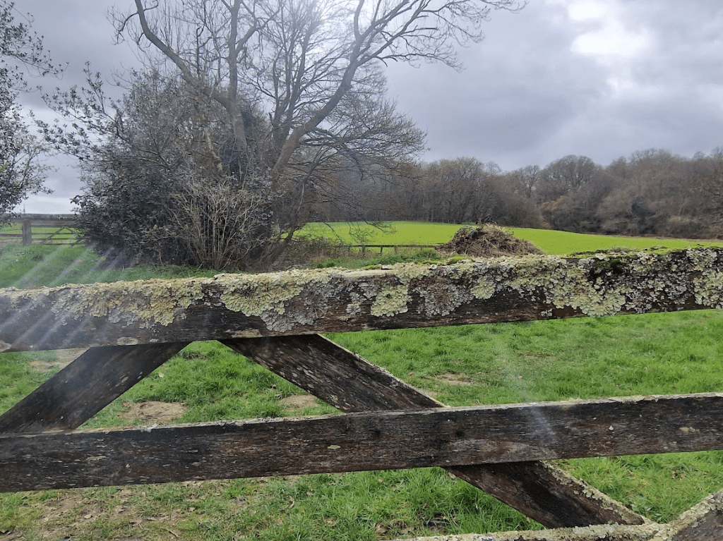
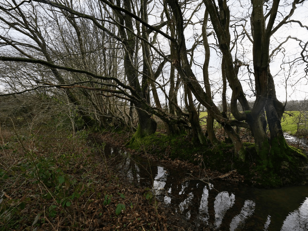
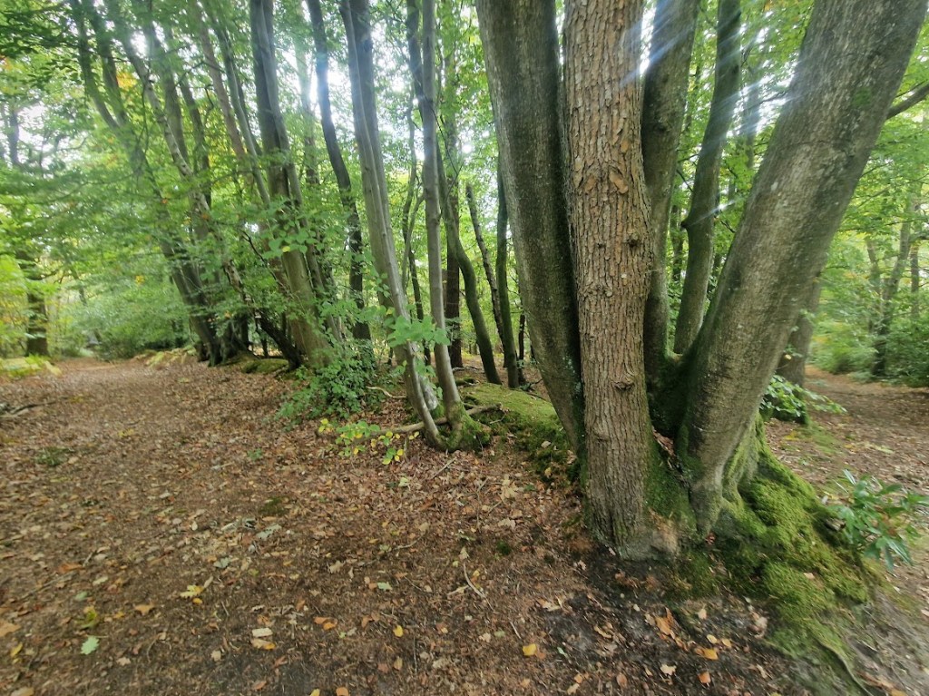
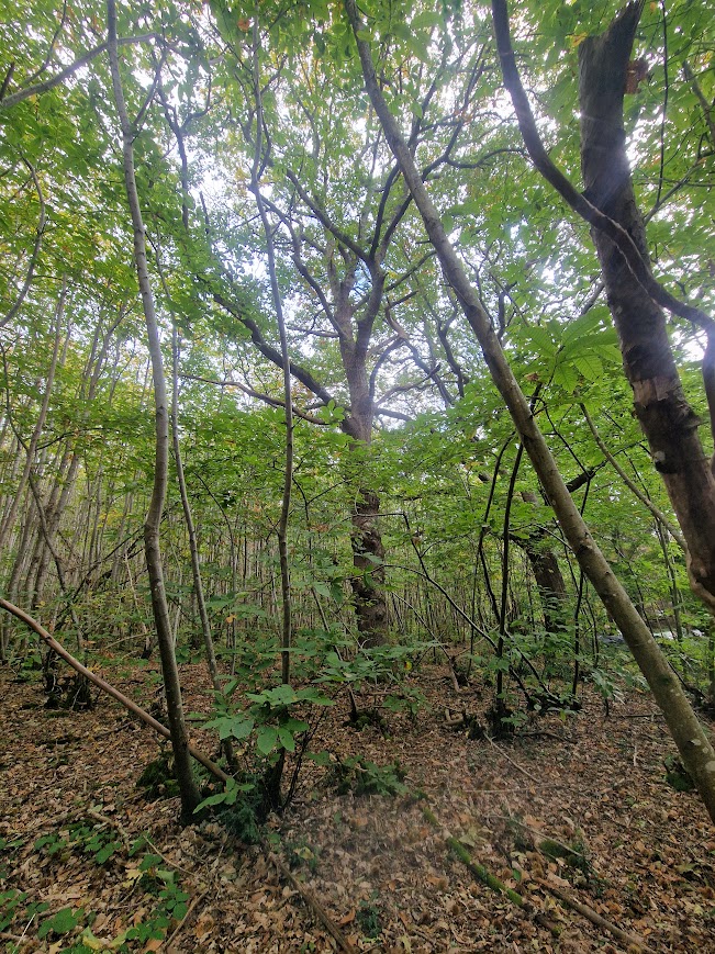
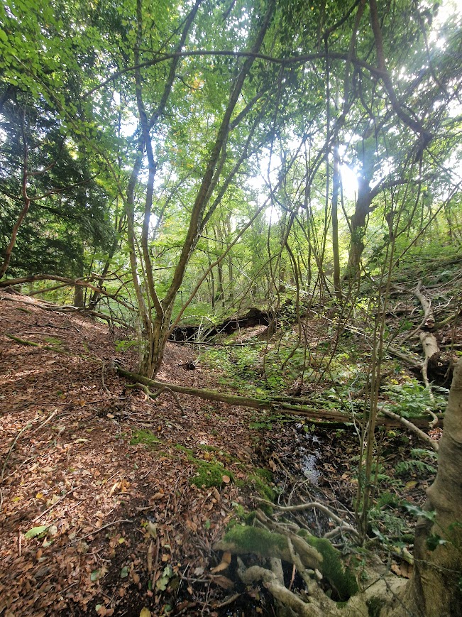
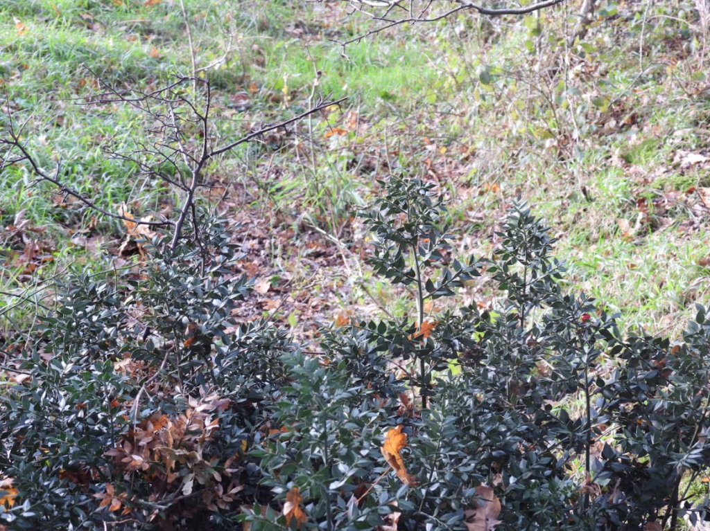
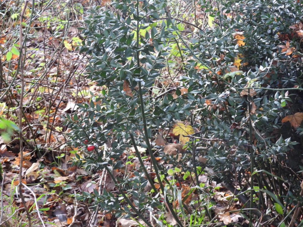
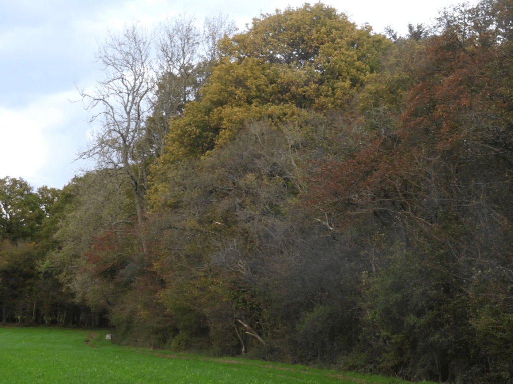
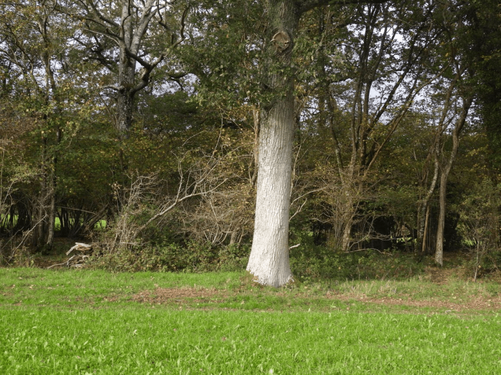
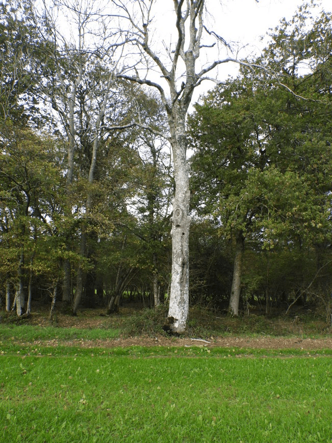
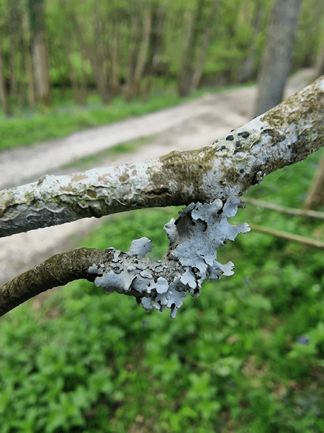
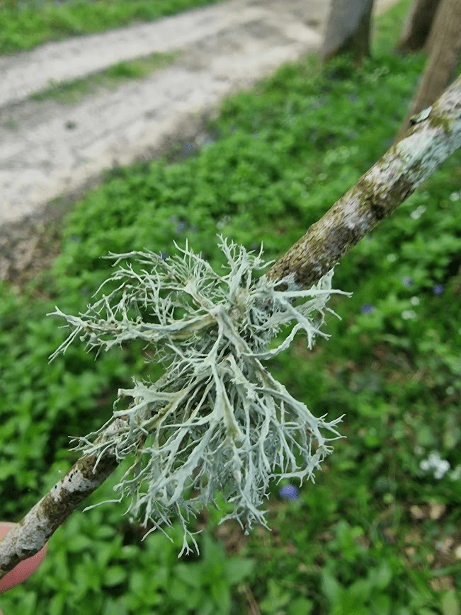
Some of the Wild Service Trees I saw (shown on the map above)
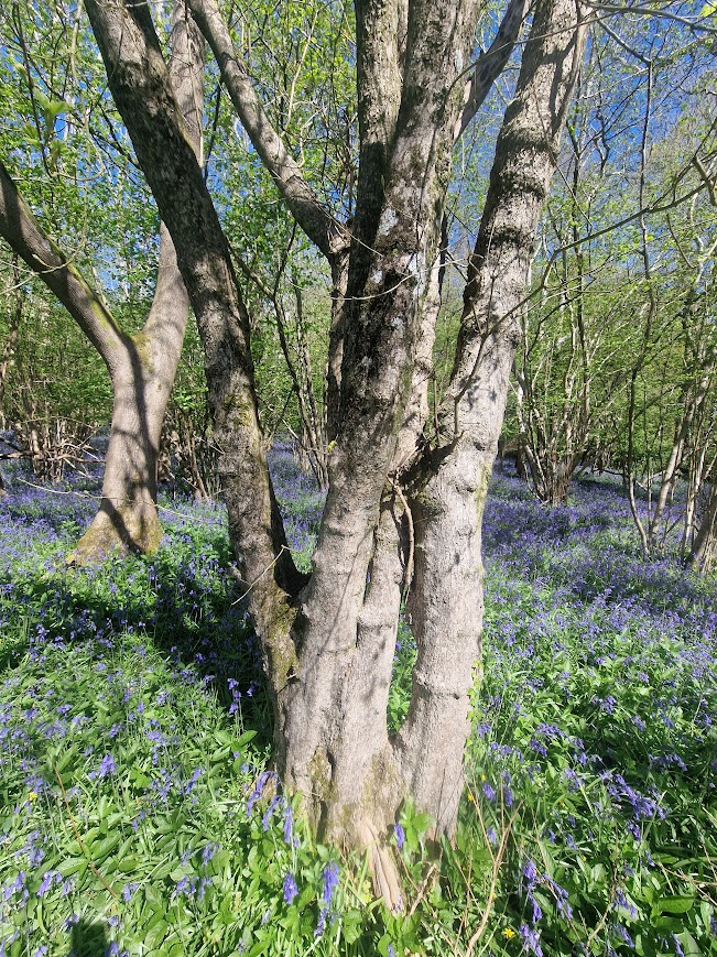
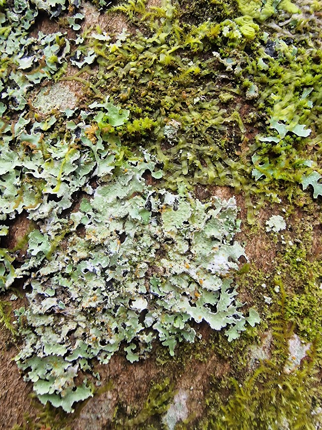
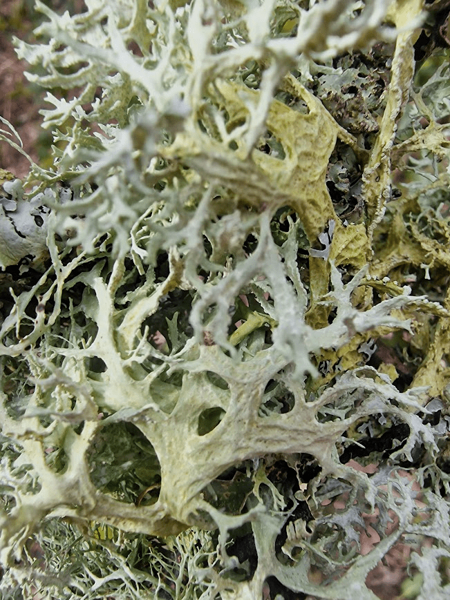
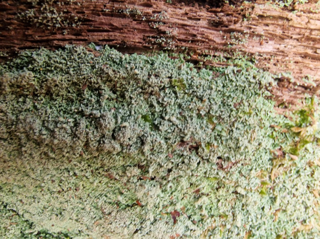
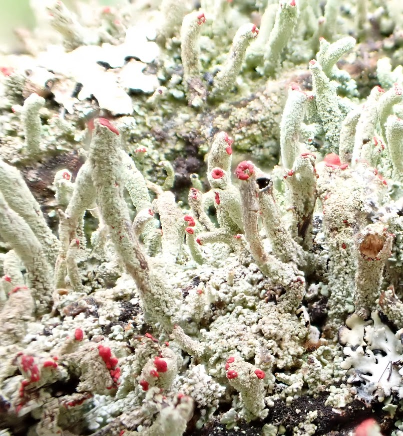
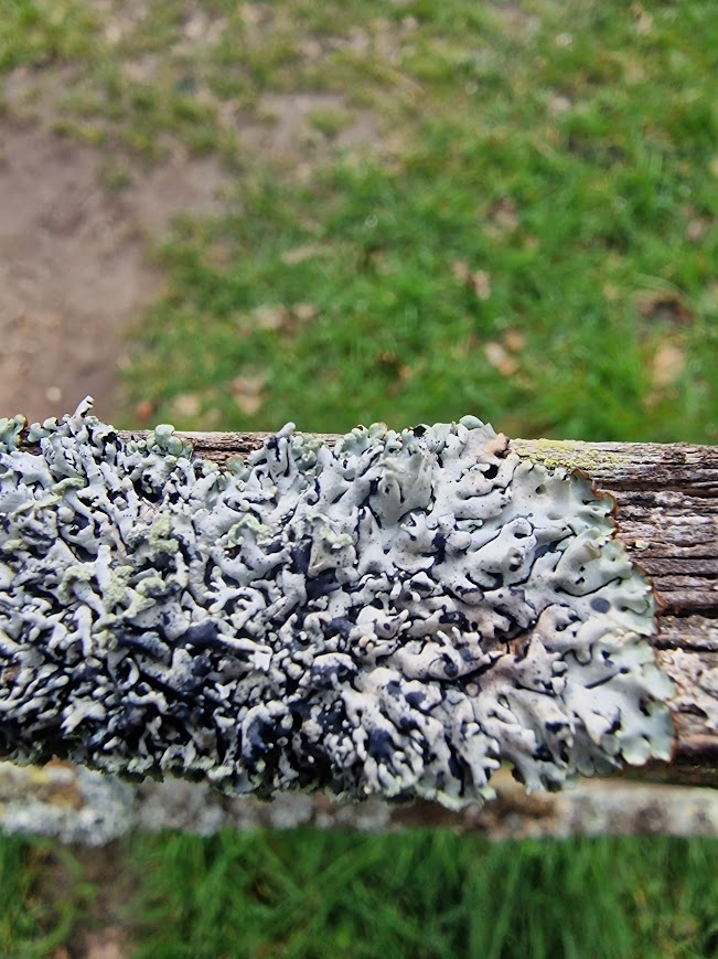
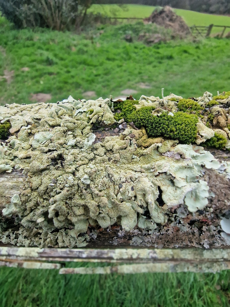
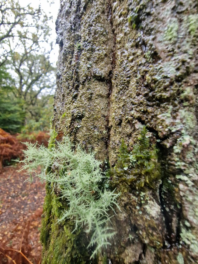
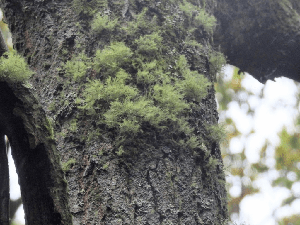
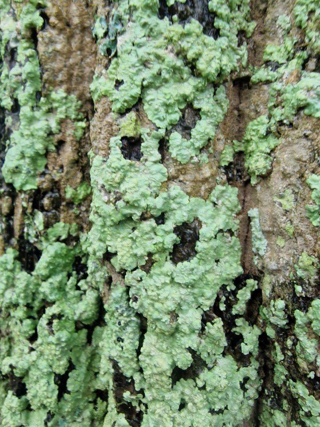
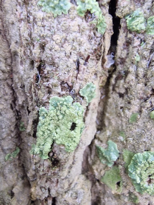
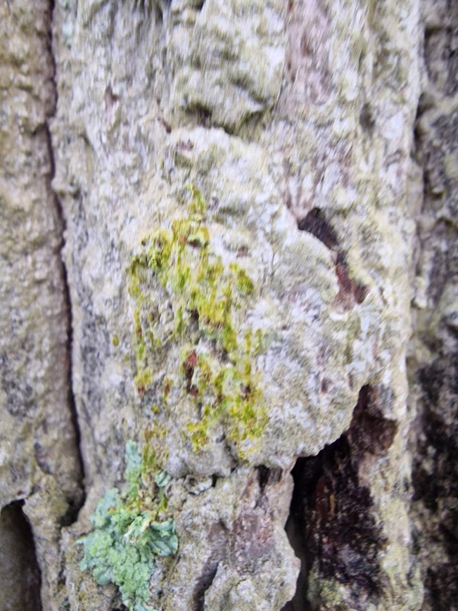
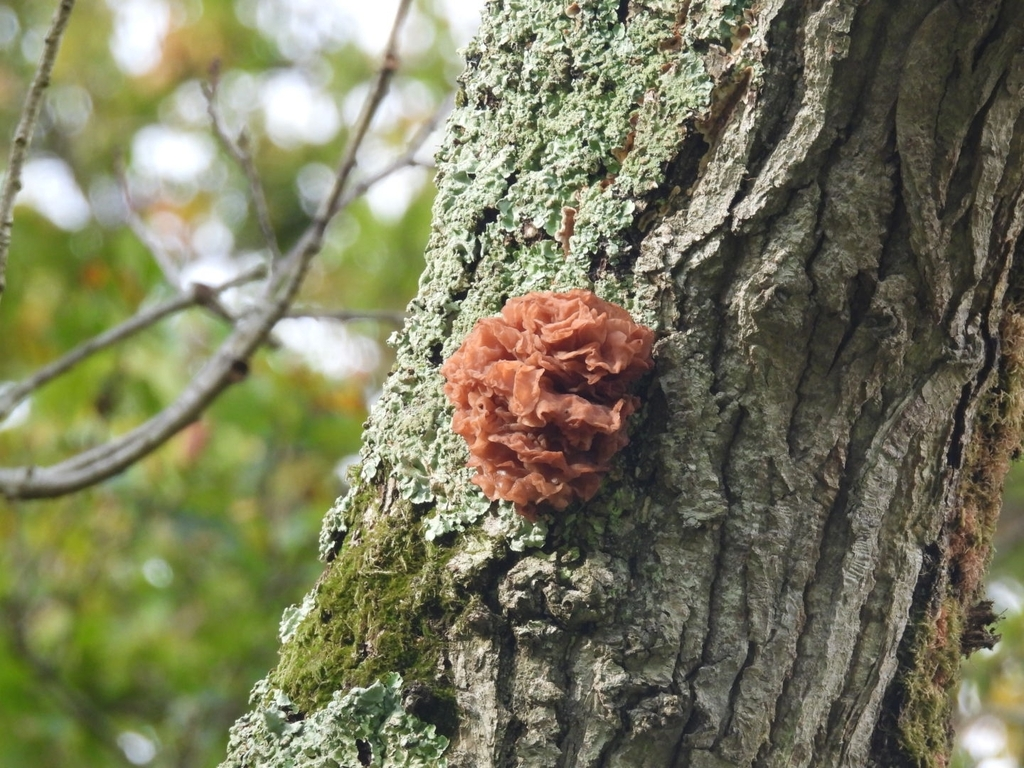
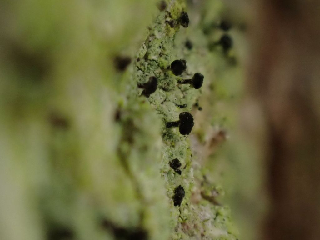
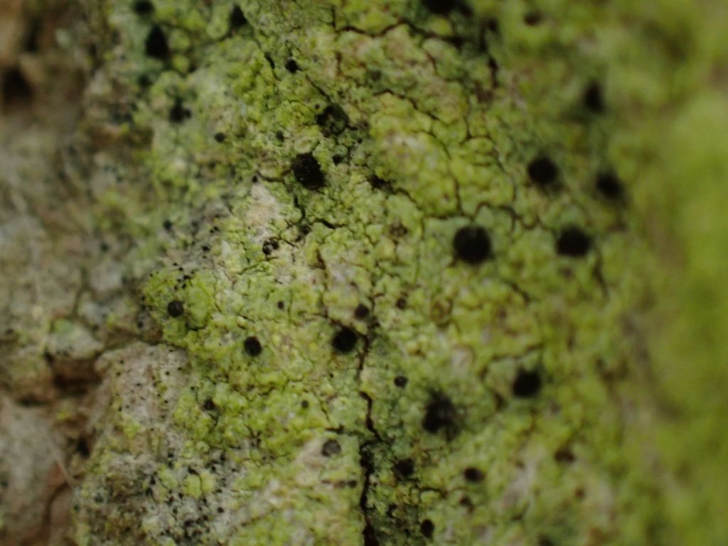
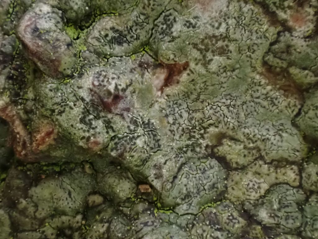
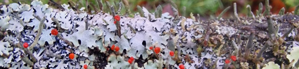
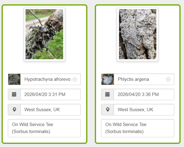
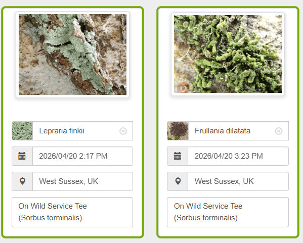
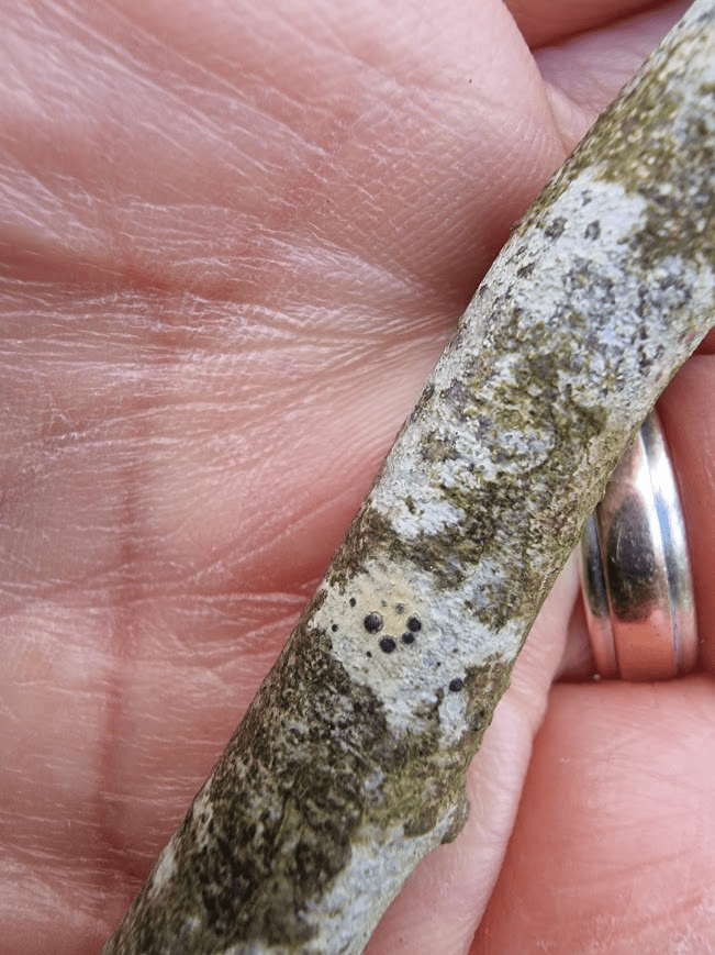
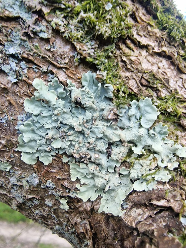
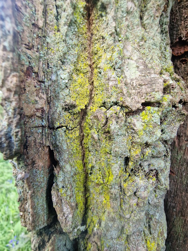
Some of the epiphytes on the these Wild Service Trees.
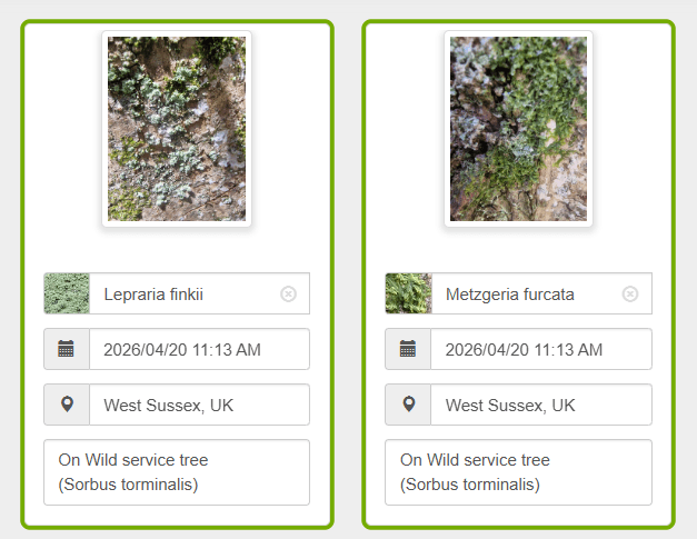
A note on my recording. The lichens below are all iNaturalist records. For all species I use iRecord as well as iNaturalist. I am a pan-species naturlaist. However, as there is currently no county recorder for lichens for West and East Sussex, iRecord records for lichens submitted by are not verified and they don’t go anywhere and can’t be accessed by the general public.. The British Lichen Society do not accept records from iRecord or iNaturalist; records have to be sent directly to the British Lichen Society using their spread sheet. I do this and send a copy of the spread sheet to the Sussex Biodiversity Record Centre
I use iNaturalist to record lichens (and everything I see) as it makes my records easily available to the general public. I do not use iNaturalist AI photo recognition, I use my knowledge and these lichen field guides and flora.
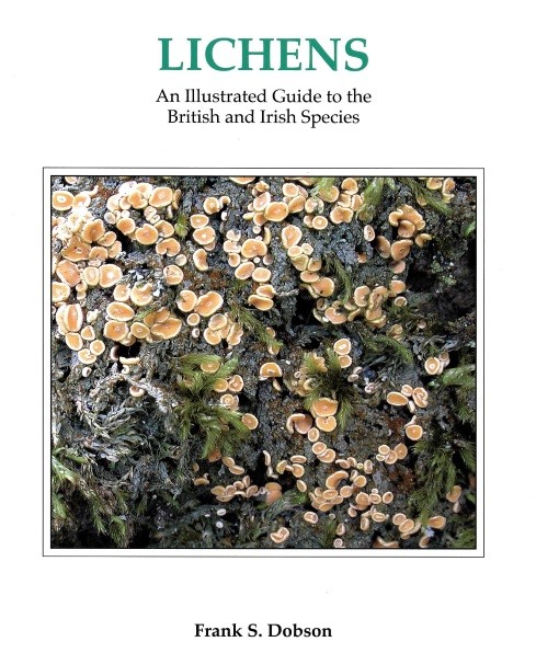
You can purchase at Books & Guides | The British Lichen Society
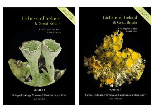
You can purchase at: Lichens of Ireland & Great Britain: A Visual Guide to Their Identification (2-Volume Set) | NHBS Field Guides & Natural History
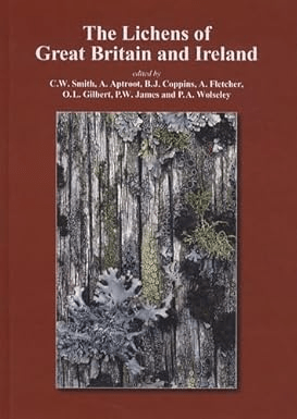
This is the standard flora of Lichens in Great Brighton and Ireland. It is out of print and extremely difficult to buy second-hand, but the keys to genera from this volume are now available as a downloadable pdfs on the Lichens of Great Britain and Ireland webpage for free: https://britishlichensociety.org.uk/identification/lgbi3
All of these records are lichens except Metzgeria furcata and Frullania dilatata which are liverworts. N.B If you take a photo of anything with a Smart Phone with the Google Photos app installed on your phone Google (if GPS tracking is turned on) adds the X (Easting) and Y (Northing) of the international Cartesian coordinate system, and a visible Google Maps location. You can use Grid Reference Finder to covert X (Easting) Y (Northing) to a British OS grid reference if you find that easier. So you can find out where I have seen my sightings.
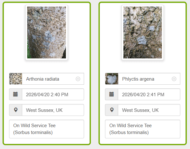
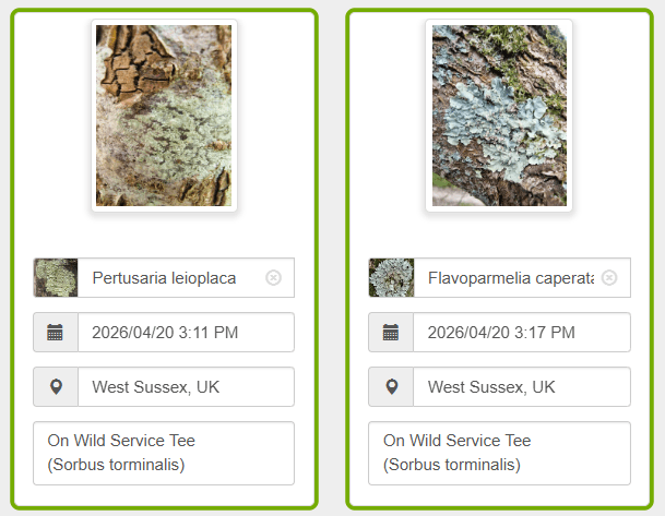
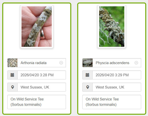

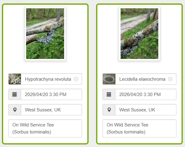
Bigger photos of some of the records above. These are very common lichens you may see on Wild Service Trees in Sussex
Evernia prunastri Oak Moss (rubbish vernacular name as it’s a lichen not a moss, and it doesn’t just grow on Oaks)

Hypotrachnya revoluta, Powdered Loop Lichen
Ramalina farinacea, Dotted Ramalina
Lecidella elaeochroma Lecidella Lichen
Flavoparmelia caperata Common Greenshield Lichen
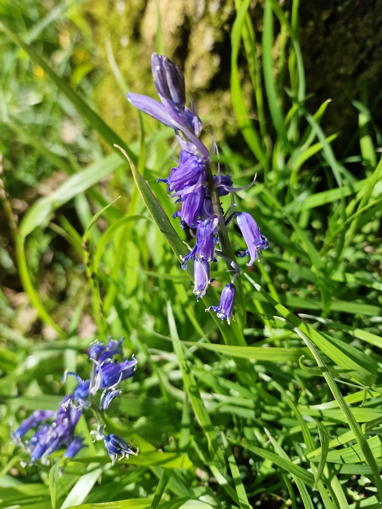
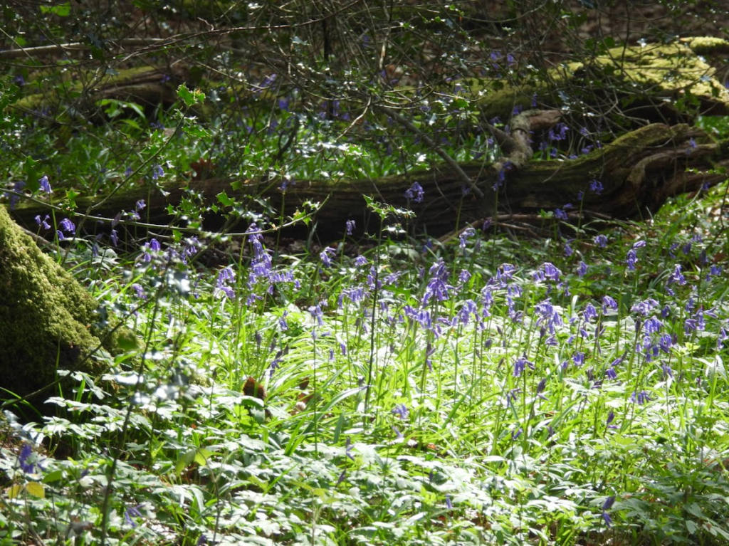
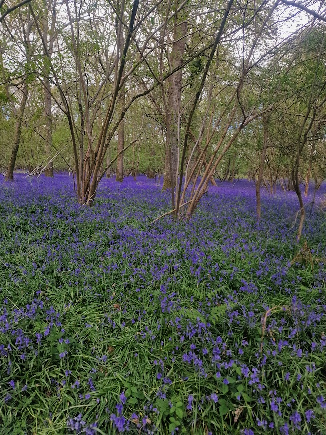
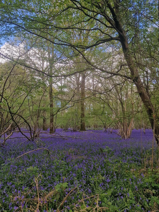
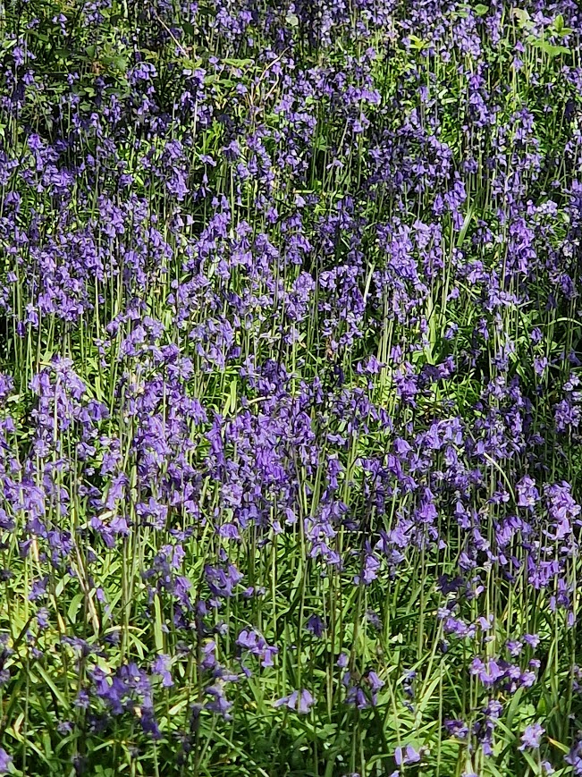
Bluebell Woodlands and Colour Field Paining
An aspect of my well-being is experiencing visual pleasure in nature and visual art. I find blocks of colour in nature and art very pleasing!
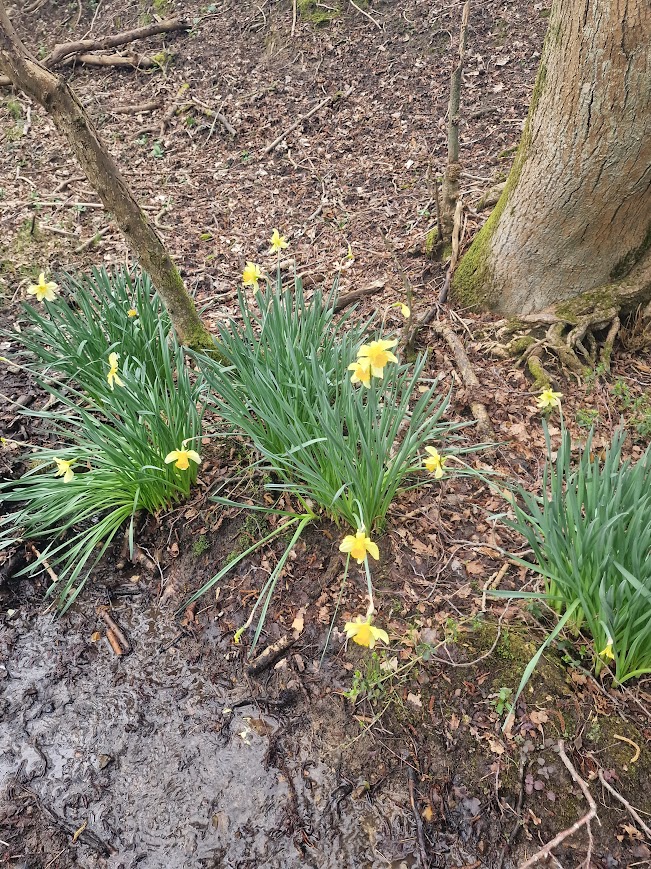
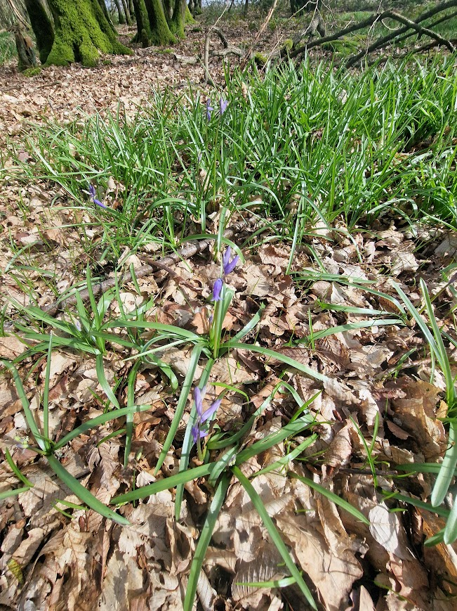
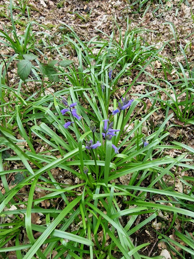
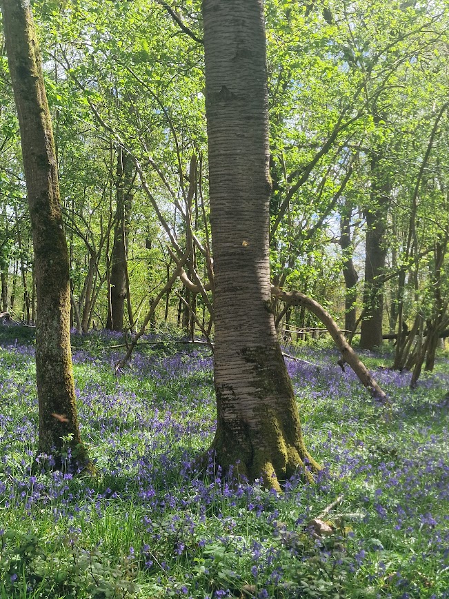
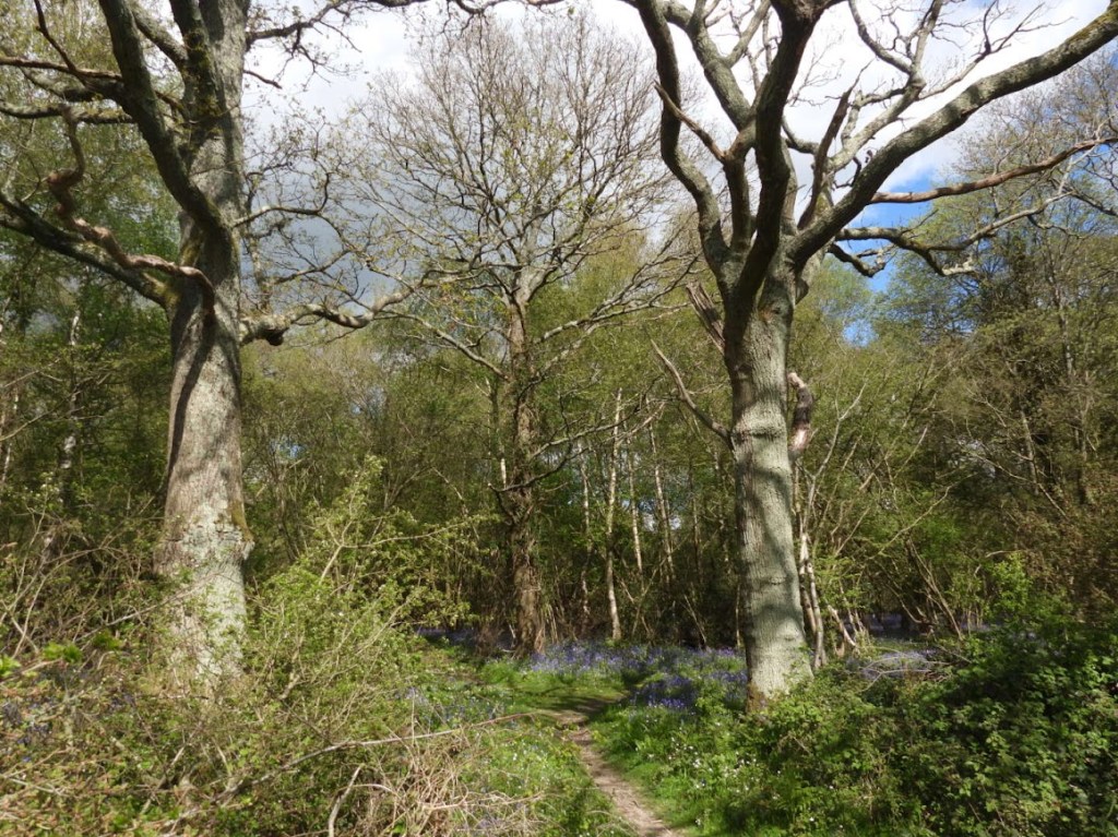
Bluebells are an ancient woodland indicator species; they are extremely abundant in the Low Weald at the moment (April 2026)
Jill Campbell, Summer Blue n.d.

Mark Rothko No. 61 (Rust and Blue) 1953

Ronnie Landfield, Rite of Spring, 1985

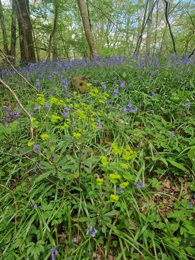
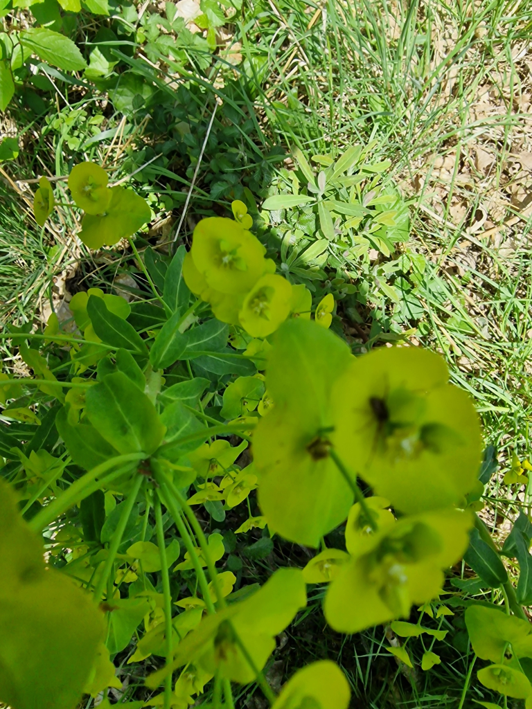
with Wood Spurge, anther ancient woodland indicator species, in front
Ray Penn Colour Field Series #7 Painting, 2018

A musical interlude.
I felt full of positive emotion walking round these woods on Monday; it felt a wonderful world.
But, in 1967, when What a Wonderful World was written, and when Louis Armstrong sang it in 1968, the world wasn’t wonderful: the Vietnam War;,the Six-Day War between Israel Egypt, Jordan, and Syria, and Nigerian Biafra Civil War were leading to many deaths.
Perhaps a message of the first two verses of What a Wonderful World is that focussing on nature (and other positive things) – a volitional slef-control of what you focus upon, whatever is going in the world, can lead to positive emotion, and thus increased resilience. Positive emotion can reinvigorate energy, and develop the courage, needed to stand up against wrongs e.g. war and climate change.
For me focussing on nature makes me feel good; but it does not lead me to deny that terrible things are happening, including global heating change and habitat loss; it increases my resilience and energy to try and do something about that. It is about balance; having positive experiences in nature means I am happier and more able to fight for nature; and Nature really needs our help; see Chris Packham’s introduction to the National Emergency Briefing on climate & nature
And good things did happen in 1967. Muhammad Ali refused induction into the U.S. Army, citing his religious beliefs as a Nation of Islam minister and his opposition to the Vietnam War; although, as a result, he was stripped of his heavyweight boxing title, had his boxing license suspended, and was convicted of draft evasion (which was eventually overturned). Living well does not always entail continuous pleasure.
Walking around these woodlands slowly and attentively certainly created positive emotion for me, and this enhanced my resilience; that’s one of the reasons I do it – A LOT! But it is not just the visual pleasure, and the focussed attention to nature, that enhances my well-being; recording nature, so that what is out there is known to as many as possible, feels meaningful and congruent with my values; well-being is an outcome of meaning and purpose.
I don’t want lots of people not to have know what we had in nature untll after its gone
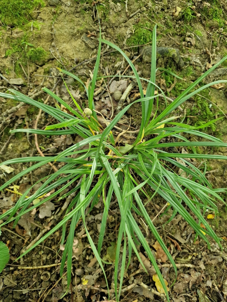
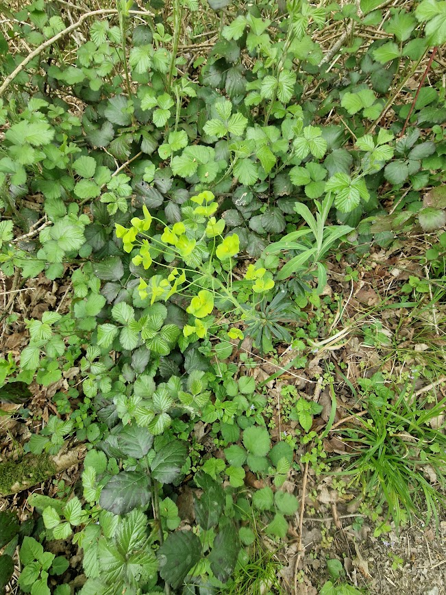
Other Ancient Woodland Indicator Species
Dog’s Mercury
Butcher’s Broom
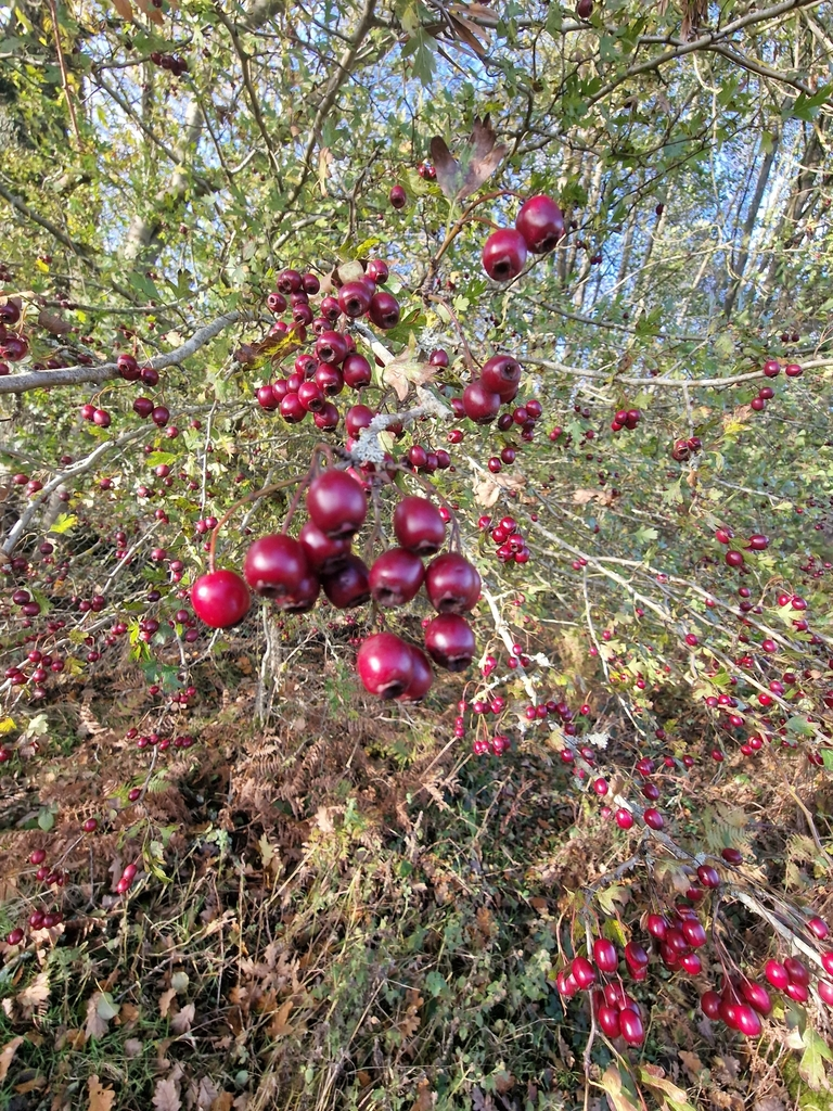
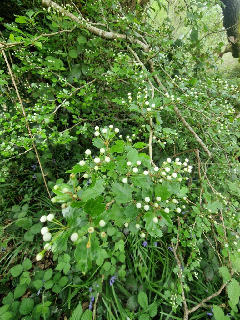
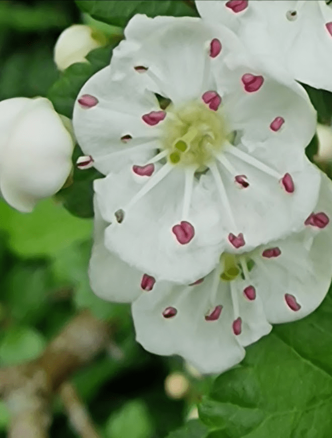
Midland Hawthorn
How to differentiate between Midland Hawthorn and Common Hawthorn: Midland hawthorn tends to flower one to two weeks earlier than common hawthorn. It has twin stigmas in the flowers and twin seeds in the haws. Midland hawthorn has shallowly lobed leaves – cut less than half way to the mid-rib. Whereas common hawthorn leaves are deeply lobed, cut more than half way to the mid-rib. Midland Hawthorn (Crataegus laevigata) – Woodland Trust In flower, it’s ease – two stigmas (green sticky-up bits) = Midland Hawthorn –
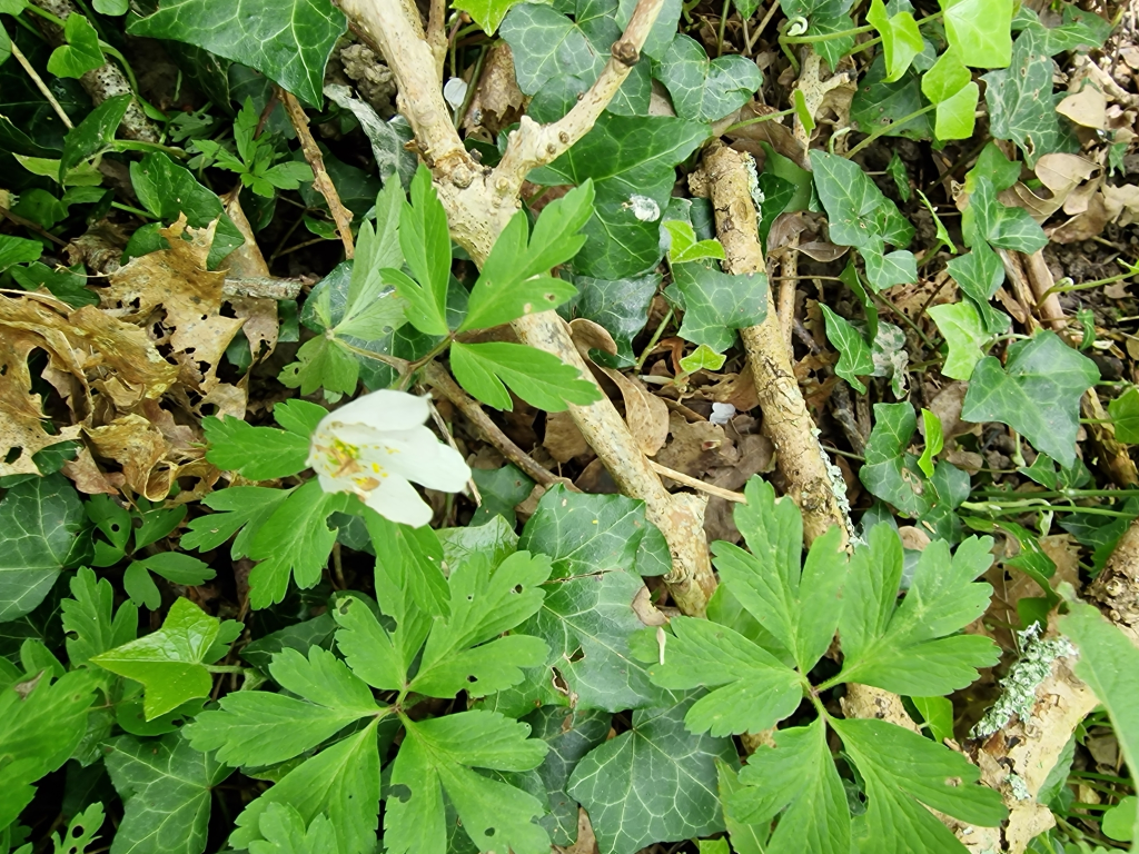
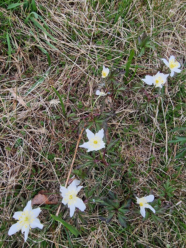
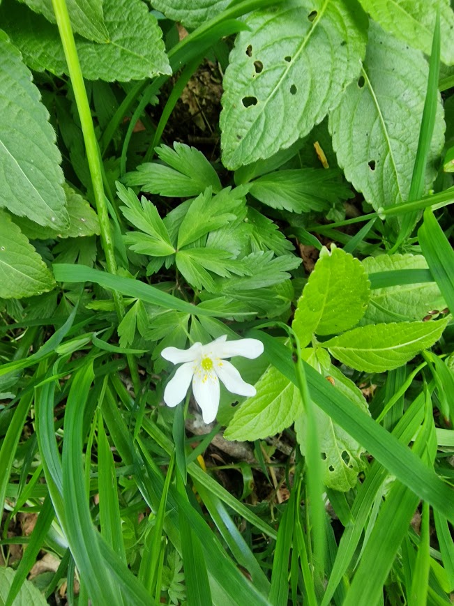
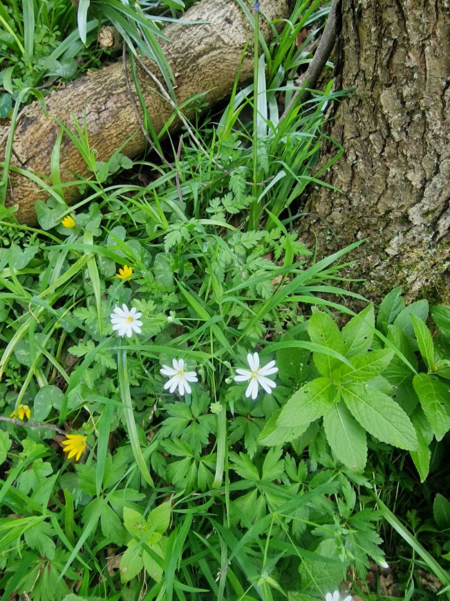
Wood Anemone
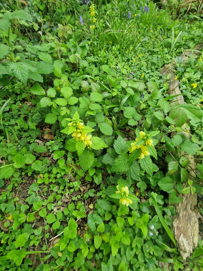
Yellow Archangel
Pendulous Sedge

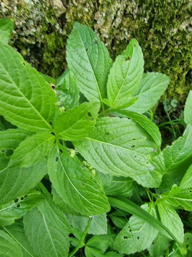
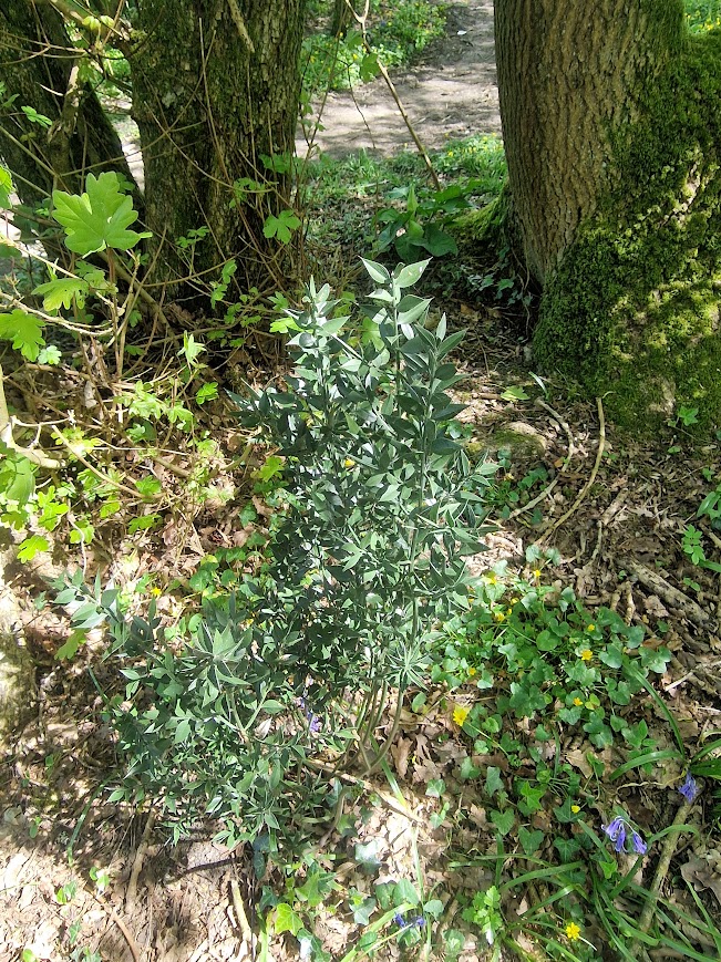
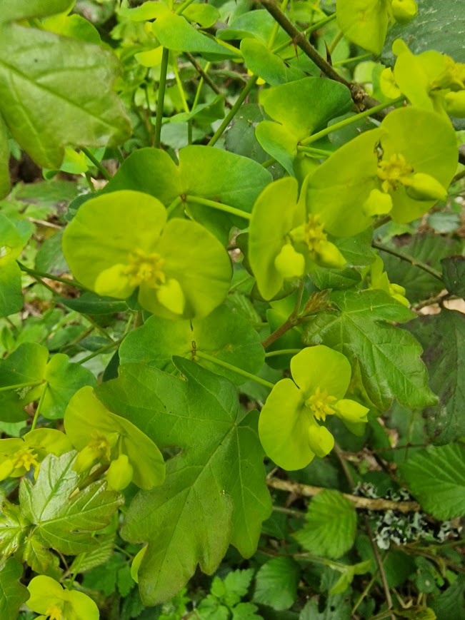
Wood Spurge
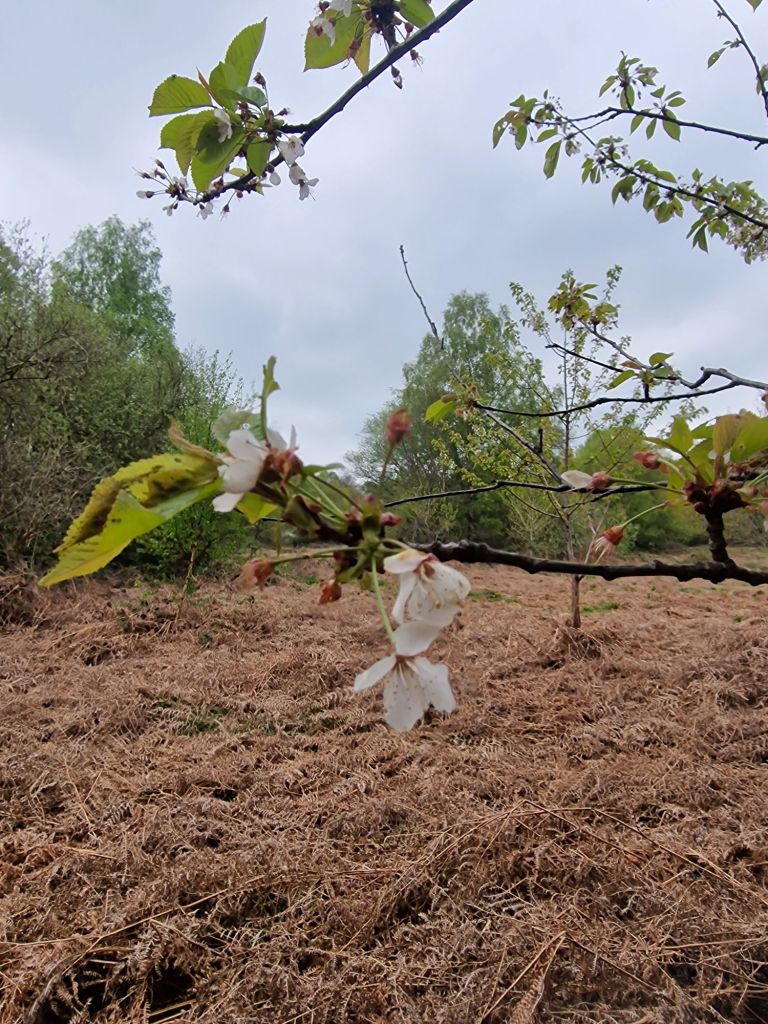
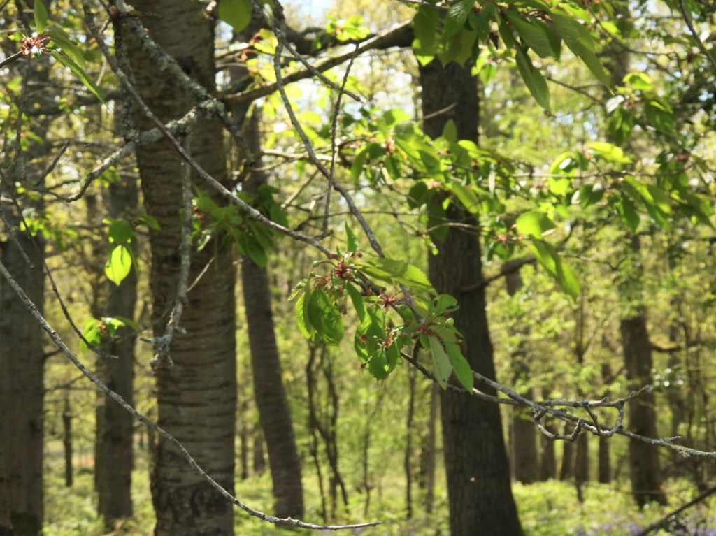
Wild Cherry
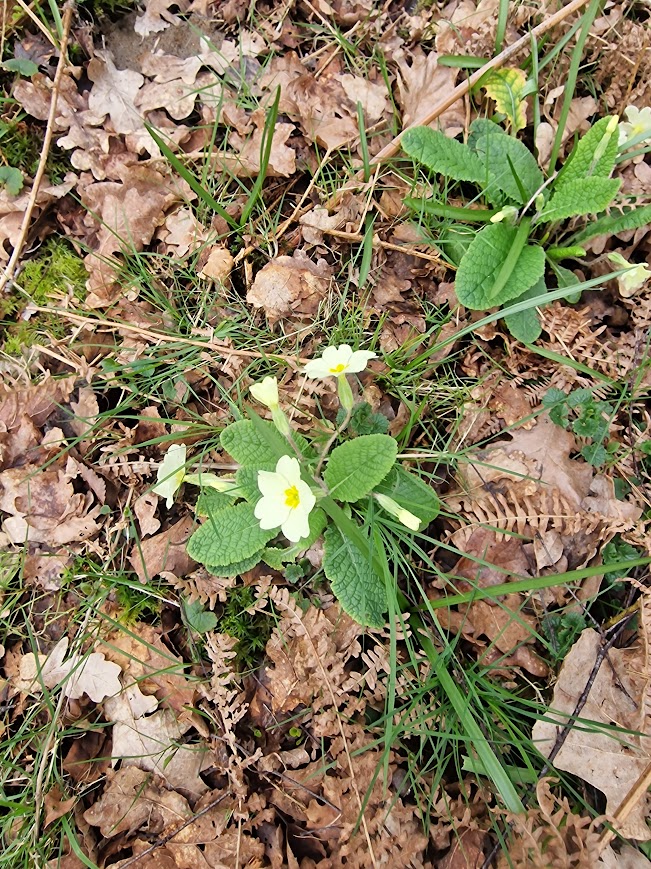
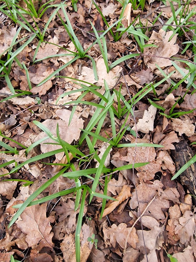
Other Vascular Plants
Figwort, surrounded by Tormentil
Greater Stichwort
Little Mouse Ear
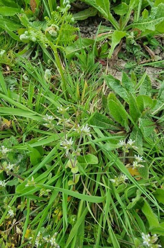
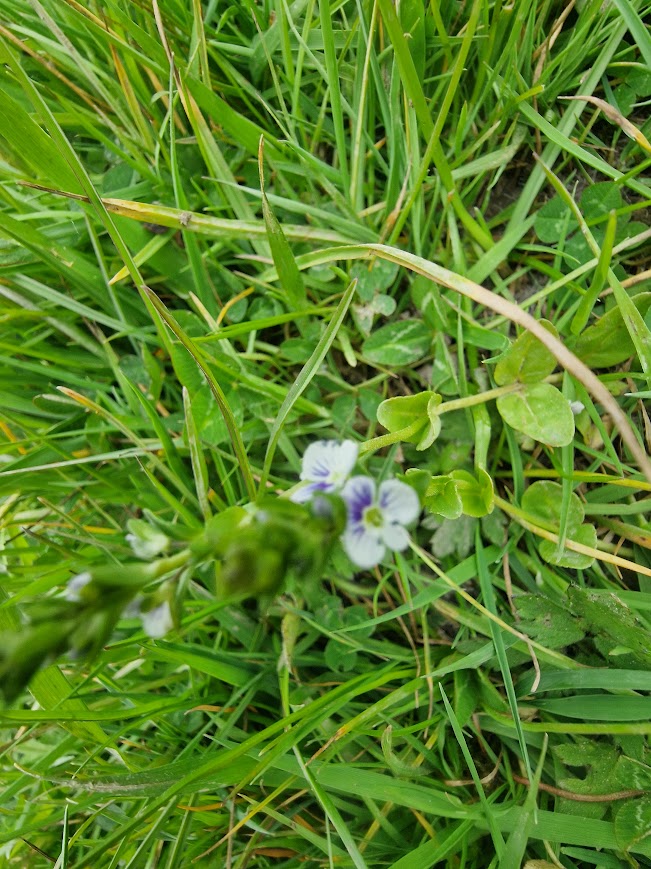
Pink Ivey-leaved Speedwell
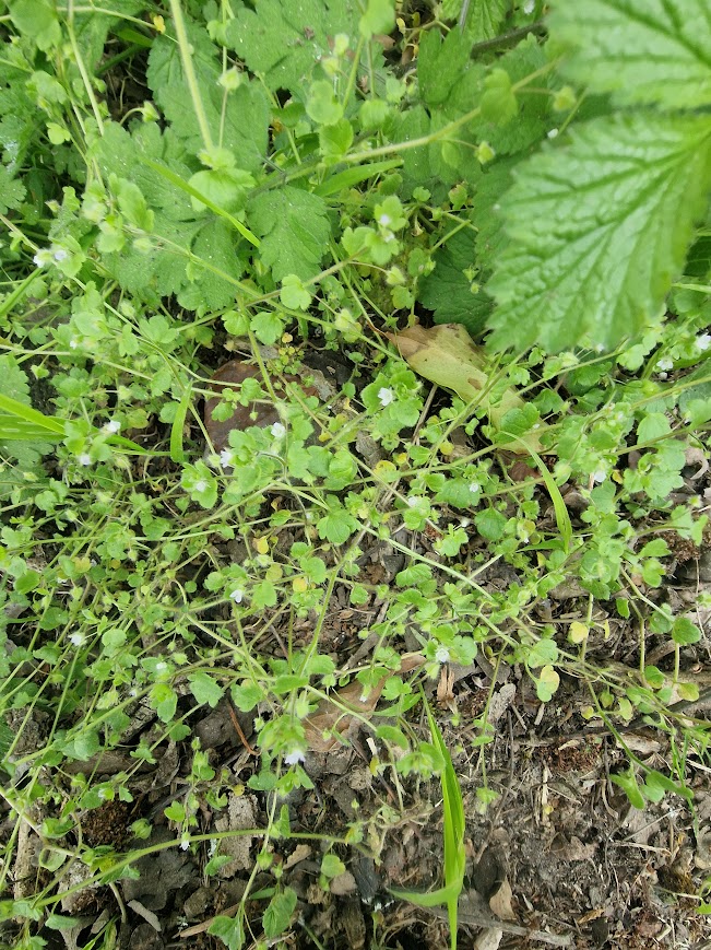
Thyme-leaved Speedwell
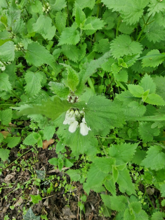
White Dead Nettle
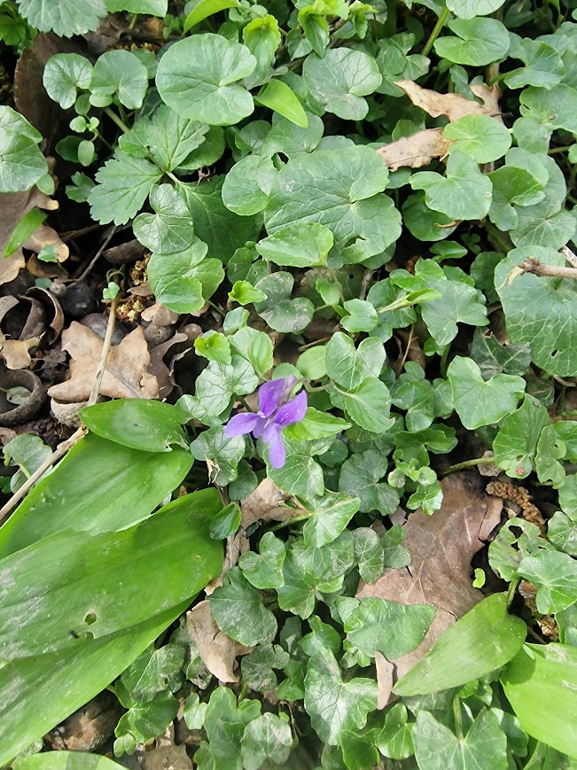
Common Dog Violet
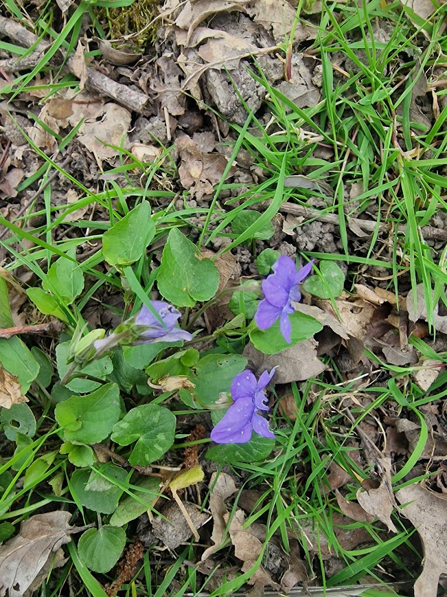
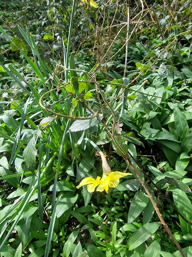
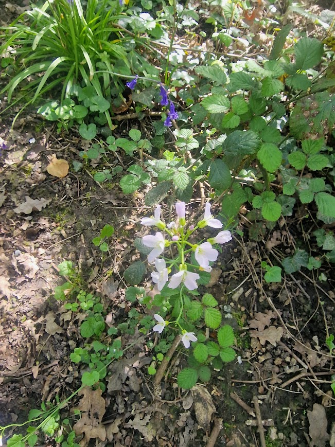
Cuckooflower / Lady’s-Smock
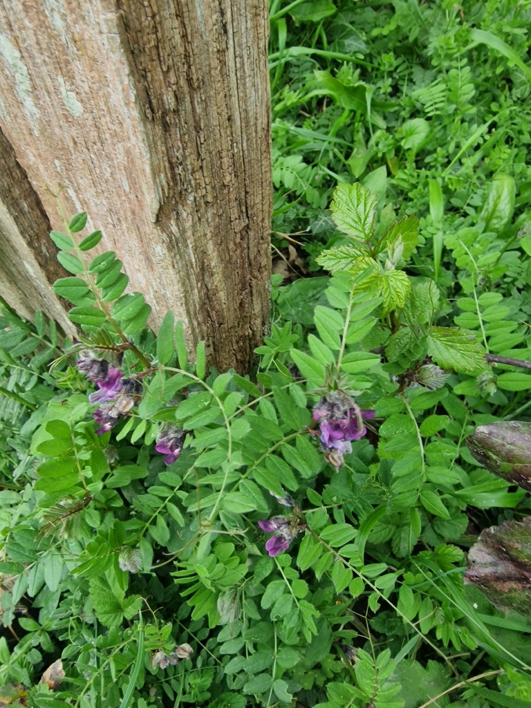
Bush Vetch
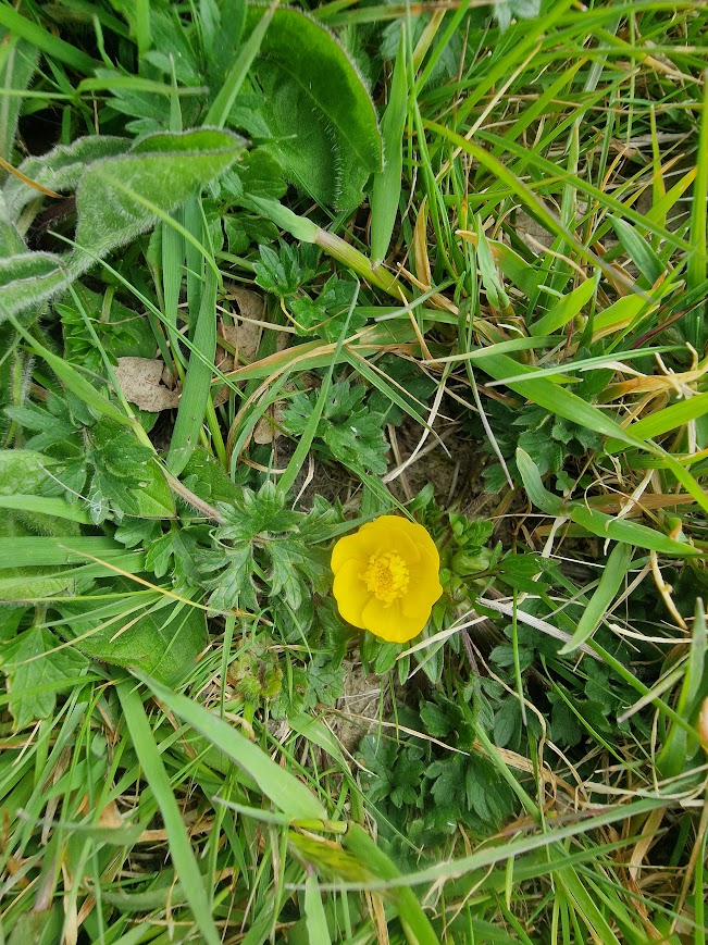
Bulbous Buttercup
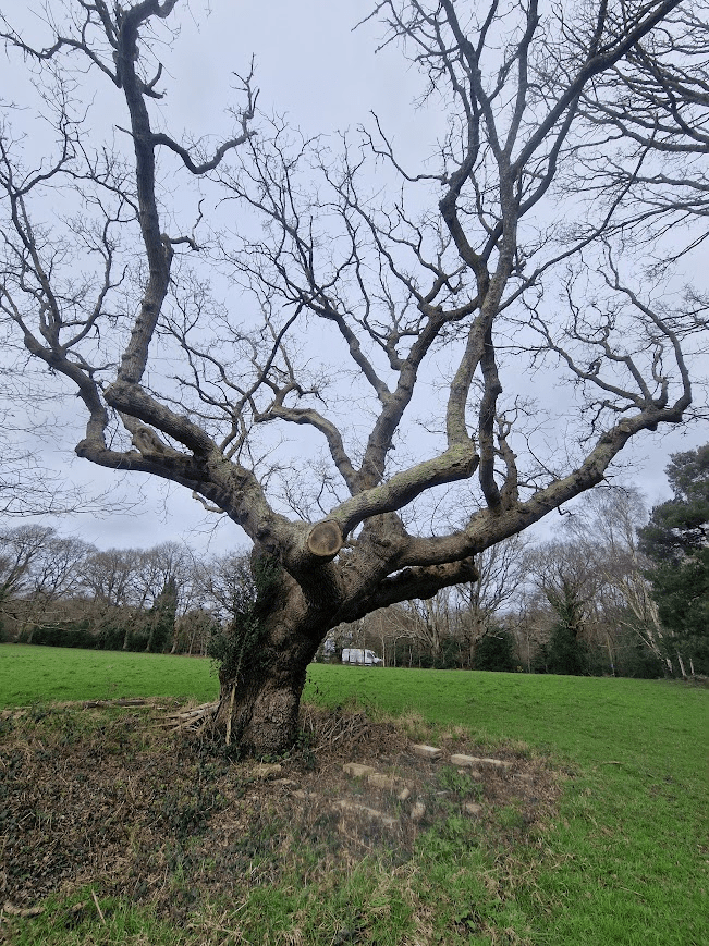
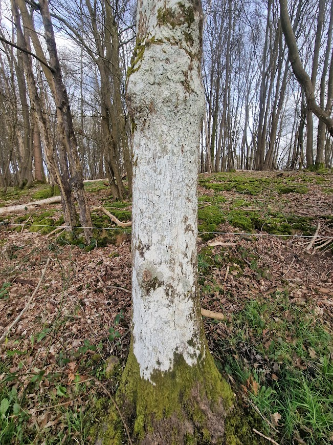
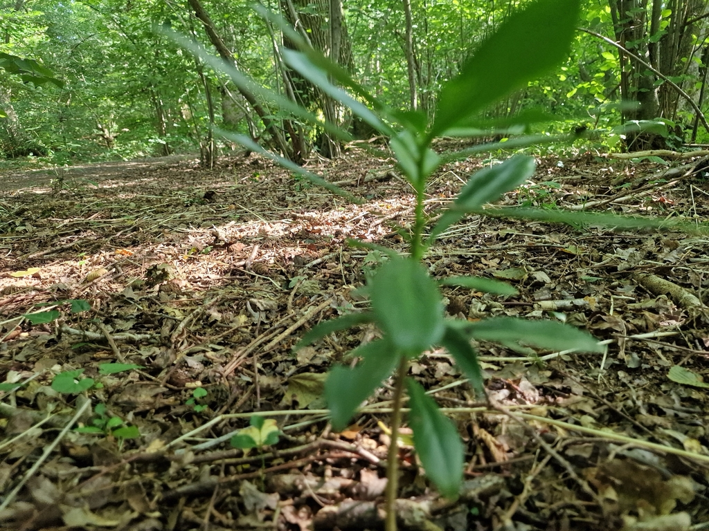
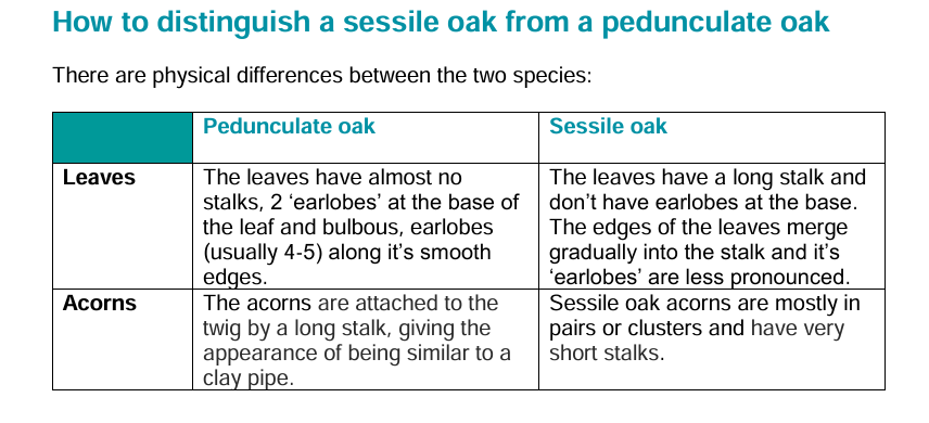
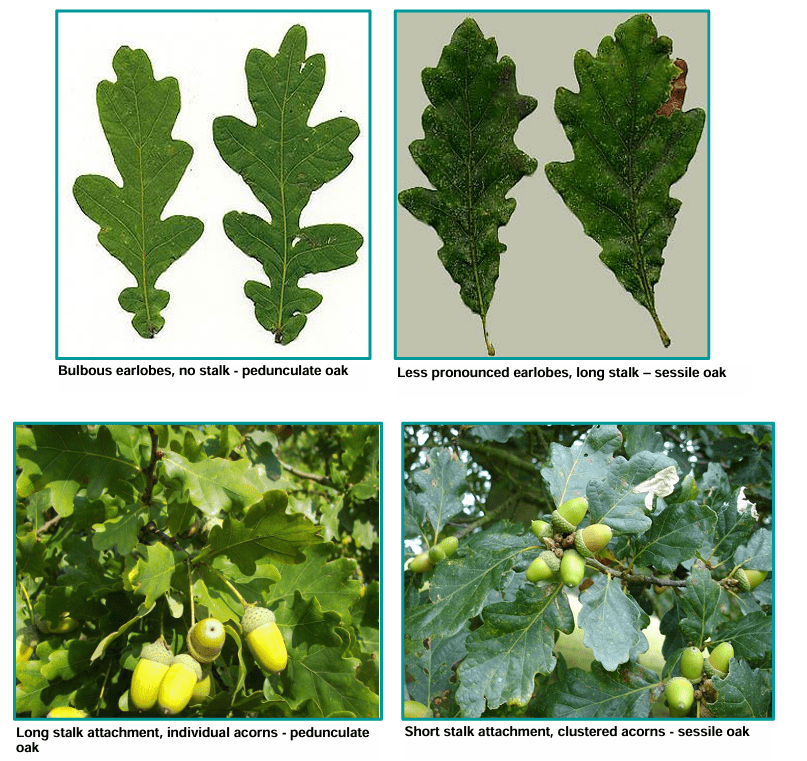
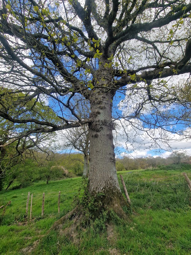
Pedunculate Oak
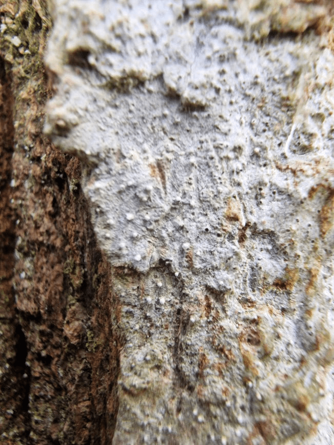
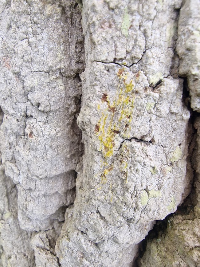
Covered in the lichen Dendrographa decolorans
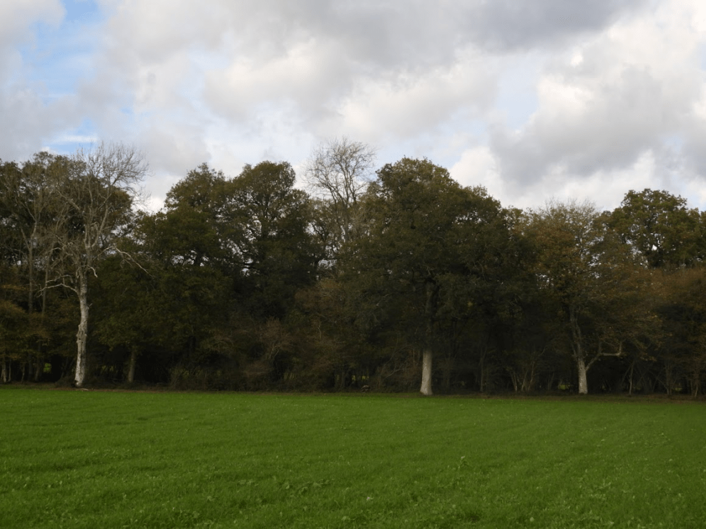
More Pedunculate Oaks
with Gold Dust Lichen, Chrysothrix candelaris
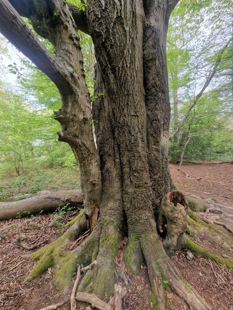
Huge Pedunculate Oaks in an ancient hedgerow; ancient hedgerows are more likely to have large ancient oaks than ancient woodlands. In ancient woodland tt is the ecological continuity of the use of land as woodland that is ancient (leading to the presence of ancient indicator vascular plants, that take 100s of years to spread) not necessarily individual current trees that that are ancient
Some useful on-line resources for identifying vascular plants
Identification guides – BSBI Website
How to Identify Trees: A Simple Guide – Woodland Trust
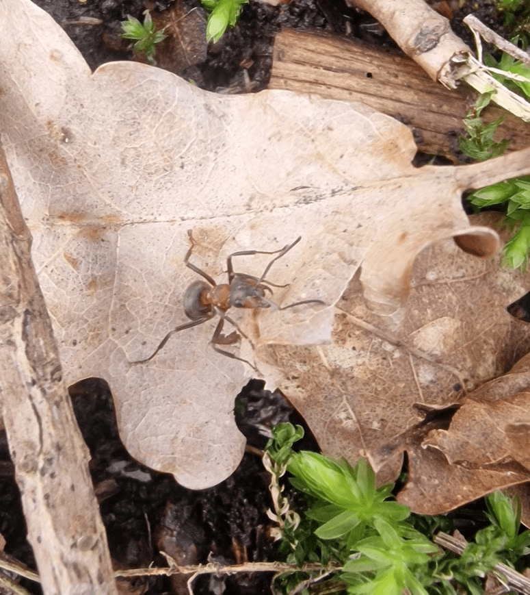
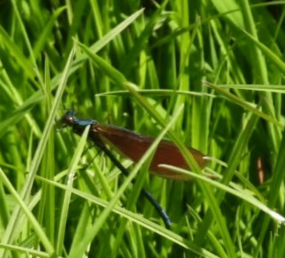
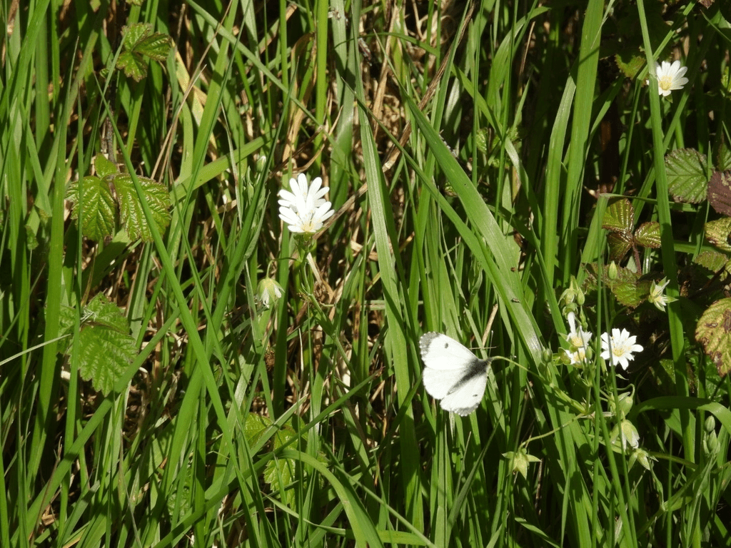
And here’s two insects:
Beautiful Demoiselle (female, brown wings)
Orange-Tip Butterfly (female, wing tips not orange)
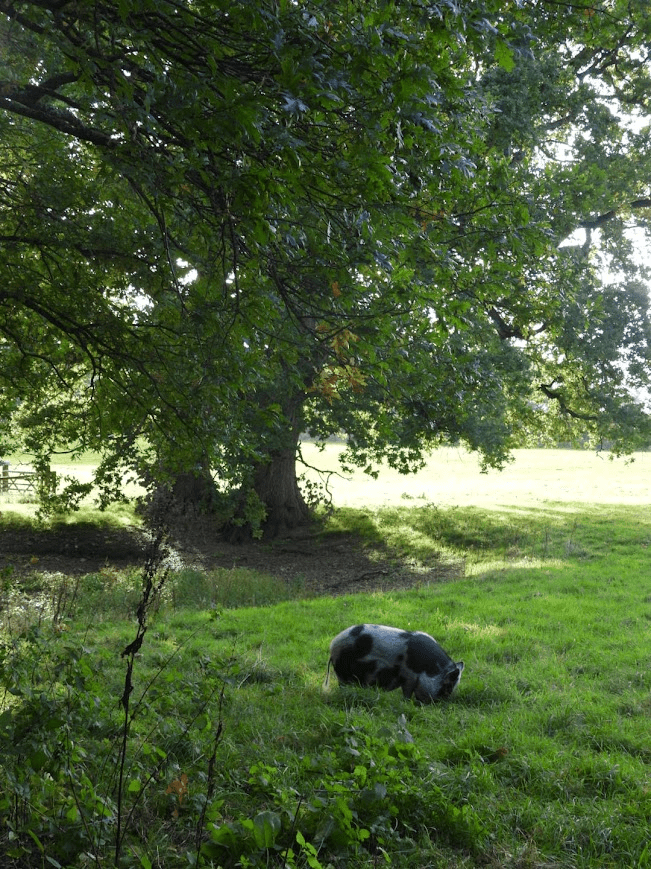
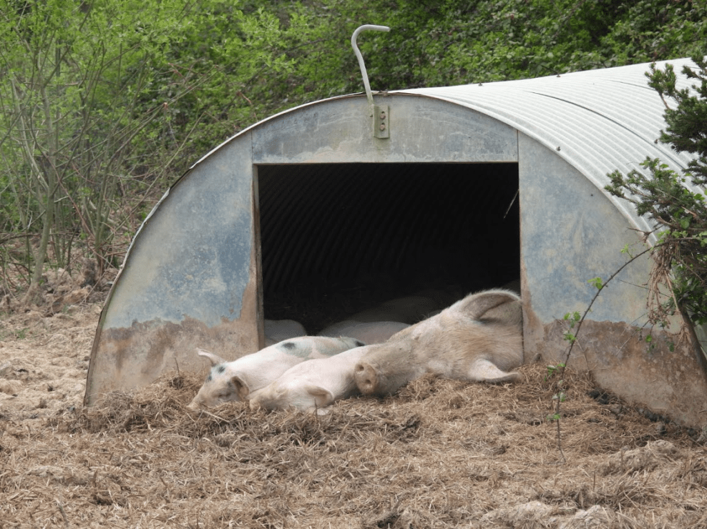
and finally pigs. I love pigs. I used to muck out pigs when my grandfather was an agricultural worker on the farm of the former St Mary’s convent in Rottingdean. That made me a vegetarian.
These pigs are free range, living the best life they can as livestock, on a small farm on the Wiston Estate. This farm has mixed livestock and arable, run by a tenant farmer who produces food and protects nature through nature-friendly farming. In a time of food insecurity and habitat loss this is the sort of farming we need. We don’t need huge agri-business farms putting profit above nature, and, in my humble opinion, we don’t need more rich landed gentry “rewilding” their farms to provide high-cost meat that few people can afford, and selling safaris to see nature that few people can afford, when you can see nature for free by walking in it and protect nature and produce affordable food in small nature friendly farming, but that requires governments financial support and that requires macro economic policies that redistribute not just wait for growth.
All opinions in the blog are my own and not those of any organisation I volunteer for
Sim Elliott BMus, PGCE, MA (History of Art), MSc (Applied Positive Psychology)