I walked this route twice; once on my own (4/10/25) and once with a friend (13/10/25). The first time I got the 29 bus from Brighton and got off at Perryman’s Lane and got on at Barnsgate manner.
The sighting I enjoyed most (on 13/10/25) was a Minotaur Beetle, Typhaeus typhoeus, on Devil’s-Fingers, Clathrus archeri, under Bracken beside the path. Clathrus archeri is also called Octopus Stinkhorn because is stinks of rotting organic matter, which attracted the Minotaur Beetle (a dung nettle) who then obligingly propagated the fungus’ spores. I had read about Clathrus archeri‘s ability to attract spore-disseminators through scent; but it was great to see this in the field. Minotaur beetles emerge as adults in the autumn. Males like this one, die after mating
Clathrus archeri is not native; it was accidentally introduced from New Zealand in materials sent to Britain from New Zealand for ANZAC stationed in the UK during WWI
The route we took is marked in pink. The route passes through the southern part of Ashdown Forest. British Geological Survey: Ashdown Formation – Sandstone and siltstone, interbedded. Sedimentary bedrock formed between 145 and 133.9 million years ago during the Cretaceous period. Rocks Wood, Furnace Wood, Payne’s Hill and Campfields Rough is designated by Nature England as Ancient and Semi-Natural Woodland
The yellow-green areas on the map are Access Land and are the parts of Ashdown Forest that still is common land. The resistance of the commoners to the enclosure of Ashdown Forest in the 17th century resulted in almost half the original Forest remaining as common land
The website First Nature – Fungi is extremely useful for identification and for information about UK fungi
This is not a complete list of all the fungi we saw; it is a list of the fungi I took a reasonable photo of!
04/10/25
Russula claroflava, Yellow Swamp Brittlegill, under Silver Birch
Lactarius quietus Oakbug Milkcap, under a Pendunculate Oak Oakbug milkcap is an important mycorrhizal species for oak trees, forming cooperative relationships with oak roots.Woodland Trust
Amanita muscaria Fly Agaric. Very common, often associated with Birch
This Fly Agaric has contorted to form a goblet shape (13/10/25)
Siberian use of fly agaric may have played a part in the development of the legend of Santa Claus too. At midwinter festivals the shaman would enter the yurt through the smoke hole and down the central supporting birch pole, bringing with him a bag of dried fly agaric. After conducting his ceremonies he would leave the same way he had come. Ordinary people would have believed the shaman could fly himself, or with the aid of reindeer which they also knew to have a taste for fly agaric. Santa is now dressed in the same colours as the fly agaric, carries a sack with special gifts, comes and goes via the chimney, can fly with reindeer and lives in the ‘Far North’.Trees for Life: Fly Agaric Folklore
Coprinus comatus Shaggy Inkcap
A somewhat sketchy sketch of a Shaggy Inkcap (Coprinus comatus) drawn using the ink produced by a fellow Shaggy Inkcap! by Jane Baxter
Amanita rubescens Blusher
Blushers are mycorhizal with hardwood and softwood trees; they are particularly abundant in many conifer forests on poor acidic soils, where they occur in small groups more often than singly. First Nature
Leccinum aurantiacum Orange Bolete
Widespread and abundant in Scandinavia and in Scotland, but it is increasingly rare further south, especially in lowland areas. … All Leccinum species are ectomycorrhizal, and most are found only with one tree genus. Leccinum aurantiacum is mycorrhizal most commonly with poplars and aspen (Populus species) and with oak trees (Quercus species); less often it occurs with other broadleaf trees including beech and birches.First Nature
Cortinarius violaceus Violet Webcap
In Britain and Ireland, where it is a very rare find, the Violet Cortinarius grows … rich woodland habitats mainly under Beeches and other broadleaf trees but also very occasionally with conifers. This is a mushroom of late summer and autumn.First Nature Red data list: near threatened. A mycorrhizal mushroom found in deciduous woodland
Amanita fulva Tawny Grisette
Initially egg-shaped, the cap expands to become flat but with a small raised central area (an umbo). The edge of the cap is striated (with comb-like radial ridges). Amanita fulva is mycorhizal with hardwood and softwood trees; it is commonly found beside woodland paths. First Nature
Amanita phalloides Deathcap
It is said that Agrippina murdered her husband, Roman Emperor Claudius, by mixing deathcap juice with Caesar’s mushrooms (Amanita caesarea). He died of poisoning a few days after the meal. Voltaire claimed that Charles VI died by deathcap poisoning.Woodland Trust
13.10.25
Clavulina cinerea Grey Coral Fungus. In leaf litter in Furncae Wood (Hornbeam, Oak a and Scots Pine) Considered to be mycorrhizal; on the ground beneath deciduous trees as well as conifers; usually where there is a build up of leaf litter. First Nature
Boletus edulis Penny Bun.
Weighty, fat cap like a crusty, well-baked bun. It is slugs (including the scarce lemon slug (Malacolimax tenellus), several species of mushroom fly, as well as other insects and their larvae. Mythology and symbolism. … In folklore it is said that the best time to hunt for penny bun and other ceps is when it’s a full moon. … They are called porcini (little pigs) in Italy, cep (trunk, because of the fat stem) in France and Steinpilz (stone mushroom) in Germany.Woodland Trust
Lactarius quietus Oakbug Milkcap, under Oak (Quercus robur)
Mycorrhizal with oak trees. Although Lactarius quietus could be confused with several other medium-sized pale brown milkcaps, the fact that it occurs only under oak trees is a great help in identifying this speciesFirst Nature
When identifying fungi, what trees thet are near too is very important to identification.
Lactarius torminosus Woolly Milkcap
Mycorrhizal, found under birch trees nearly always in damp places.First Nature
Datronia mollis Common Mazegill
Datronia is a genus of poroid crust fungi Datronia mollis fungi cause a white rot in broadleaf trees. It is saprobic fungus. saprobic fungus. Its is not a parastic fungis which live on or in a living host, and eventually kill it; saprobic fungi feed on dead material. Saprobic fungi play a major role in breaking down and recycling wood and other forest debris, creating healthy soil, and freeing up nutrients for microbes, insects, and growing plants. Mount Rainier Park Service
Mycena rosea Rosy Bonnet
Like many other species in the genus Mycena, the Rosy Bonnet is reported to be bioluminescent, emitting a weak green light (wavelength in the region of of 520 to 530 nanometres). … Saprobic, among leaf litter in deciduous woods and mixed woodland.First Nature
Suillellus queletii Deceiving Bolete
Occasional in southern Britain but increasingly rare further north. … Suillellus queletii is an ectomycorrhizal fungus; it is usually found growing on alkaline soil beneath hardwood trees, notably oaks but also beech and limesFirst Nature
Ectomycorrhizal fungi … are intimately associated with the roots of most temperate tree species. Hyphae, the thread-like filaments of fungi, wrap around the root tips of the tree and through them water uptake and nutrient exchange take place. The hyphae are also known to provide trees with a degree of resistance from drought and also serve as a protective barrier from diseases.
Ectomycorrhizal (ECM) fungi are intimately associated with most temperate tree species and have demonstrated important and rapid shifts in species composition and abundance in response to a range of environmental stresses (e.g. droughts, eutrophication and/or acidification of forest soils).
Monitoring of changes in ECM fungal communities might, as a result, serve as a sensitive early warning indicator of environmental change that has the potential to be disruptive to trees. This might develop where environmental change, such as the eutrophication of forest soils, interferes with the varied functional roles of ECM, including the vital roles of facilitating carbon, nutrient and water uptake in trees. Forest Research
Laccaria amethystina Amethyst Deceiver
During dry spells the caps and stems of Laccaria laccata become much paler and eventually almost white. The specimen seen here is not yet completely dry; its cap is becoming paler from the centre. Eventually, Amethyst Deceivers become pale buff, as do the common Deceivers. This makes identification of old specimens even more difficult. … Among leaf litter in all kinds of woodland but particularly plentiful under beech trees, with which it is ectomycorrhizal. First Nature
“Mycorrhizal” is a broad term for a symbiotic relationship between fungi and plant roots, while ectomycorrhizal is a specific type of mycorrhizal relationship where the fungus forms a sheath outside the root cells and does not penetrate them. The other main type, endomycorrhizal (also called arbuscular), involves the fungus penetrating and entering the root cell. sThe other main type, endomycorrhizal (also called arbuscular), involves the fungus penetrating and entering the root cells. Wenchen Song (2024) Ectomycorrhizal fungi: Potential guardians of terrestrial ecosystems
Paxillus involutus Brown Roll-Rim
Brown Rollrim is classified as a gilled member of the order Boletales, and like the boletes themselves it forms ectomycorrhizal relationships with tree. First Nature
Russula nigricans Blackening Brittlegill
Russula nigricans, the Blackening Brittlegill, is a very variable species in terms of its size, shape and colour: it changes in each of these respects quite markedly as it matures, eventually becoming black all over. … The Blackening Brittlegill is, like other Russula species, ectomycorrhizal.
The Weald (the High Weald, Low Weald and Greensand Ridge) was known, by Latin speakers, as Anderida Silva (Wood of Anderida), after Anderida (present-day Pevensey), a Saxon shore fort, as then woodland covered most of Sussex and surrounded Anderida. When the Saxons settled Sussex from the 5th century, the Weald was initially called just Andred (Saxon Chronicles 785 and 893); and then Andredesweald (Andred’s Wood) (Saxon Chronicles 1018). Following the Norman Conquest, the name was shortened just to TheWeald (used in the Doomsday Book 1068). Sources: Peter Brandon (2003) The Kent and Sussex Weald, Ch6. The Saxon and Jutish Andredesweald and Marc Morris (2021) The Anglo-Saxons: A History of the Beginnings of England: Ch1 The ruin of Britain
The geomorphology of the Weald is defined by its geology. See R W Gallois (1965) The Wealden district. British regional geology. 4th edition. London: HMSO’ accessible on-line at: https://webapps.bgs.ac.uk/memoirs/docs/B06880.html
The Low Weald is the eroded outer edges of the High Weald, largely coinciding with the outcrop of Weald Clay but with narrow bands of Gault Clay and the Lower and Upper Greensands which outcrop close to the scarp face of the South Downs. Natural England. National Character Area 121: Low Weald
All of the UK’s landscapes are under threat from development in a growth-focussed political climate, but the Low Weald is particularly vulnerable to development as it sandwiched between the High Weald National Landscape (previously called the High Weald Area of Outstanding National Beauty) and the South Downs National Park; both of which have higher levels of protection from development: HM Government: Areas of outstanding natural beauty (AONBs): designation and management. Counter-intuitively the area of low weald between Fittleworth and the Mens, mostly land in the parish of Fittleworth, is within the South Downs National Park. The vast majority of the low weald is not in the South Downs National Park. AONBs [now National Landscapes] … have the same legal protection for their landscapes as national parks, but don’t have their own authorities for planning control and other services like national parks do. Instead they are looked after by partnerships between local communities and local authorities. National Parks UK: National Parks Are Protected Information Sheet However, having planning determined by the South Downs Authority does not necessarily lead to the protection of nature. The SDNPA gave consent to the Towner Gallery’s plan to develop an arts centre on the Black Robin Farm site at Beachy Head, which is likely to harm nature through greatly increased carbon emissions from transport to and from this new venue.
The South Downs National Park Authority records the habitat types of the land in the Parish of Fittleworth, the parish through which my walk passed.
The dark green areas on this map are all, according to the South Downs habitat map, semi-natural broadleaf woodland. This is probably because the Natural England ancient woodland database says they are. But when you walk through them this is clearly not the case. The Mens and Hammonds Wood are Ancient Semi-Natural Woodland (ASNW), which is largely of natural origin; however Fittleworth Wood, owned by the Stopham Estate, is very clearly not, it is Ancient Replanted Woodland, as Natural England designates Felxham Park, which is exactly the same Sweet Chestnut planting as Fittleworth Wood.
When I travel on busses across the Low Weald, which I do frequently, I see large numbers of unaffordable housing developments which have destroyed ancient woodlands and archaic pastures of the Low Weald.
Being drawn toward the past
All cities are geological. You can’t take three steps without encountering ghosts bearing all the prestige of their legends. We move within a closed landscape whose landmarks constantly draw us toward the past. Chtcheglov, ‘Formulary for a New Urbanism’
In Fittleworth Wood: my heart sinks; but the past pokes through.
Walking north of Fittleworth along the Serpents Trail, you soon pass through the southwest part of Fittleworth Woods, around Sellings; owned by the Stopham Estate. There is no public access to this land apart from the paths that run through it; over and over again signs tell you that the woods are private
Here, as in many areas of Sussex, ancient oak, beech, hornbeam and other native trees have been felled and replanted with Sweet Chestnut. The main Chestnut area in Great Britain is concentrated in the southern counties of Kent and Sussex, where extensive stands of commercial coppice, amounting to some 18,000 hectares were planted in the mid 19th century. . Everyday Nature Trails: Sweet Chestnut
When I walk through this soulless replanted woodland, I try to imagine its former age-oldness
In this mostly monocultural desert, relicts of the past can still just be seen, and they help me imagine what this landscape was like. Medieval boundary banks, with Oak and Beech growing on them (naturally regenerated from previous planted Beech and Oak, coppiced as was the traditional practice in planted boundary banks) and a few maiden (un-pollarded) Pedunculate Oaks poke through the coppiced Sweet Chestnut monoculture.
Coppiced Sweet Chestnut monoculture:
Ancient boundary bank:
Maiden Oak amongst the Sweet Chestnuts
Lithersgate Commons
Walking north from Sellings/Fittleworth Wood, I walked through Lithersgate Common. There are no signs that tell you that you are walking through a common and can thus leave the path and wander; you can only know that by looking at the OS map and seeing its name and seeing it is marked as Access Land. Access Land in Woodland Areas is often land that still has common rights. But it is very hard for the general public to know what those rights are.
OS Map Key
All land in England and Wales, including common land, is privately owned. Indeed, larger areas of common land may have many different owners. It’s a widely-held misconception that citizens at large or “commoners” own common land. Instead, what makes the land “common” is the common rights attaching to it, not its ownership. Most common land is now “open access land” giving public right of access to it.
In many cases, rights of common do not just include access. The rights attaching to common land vary depending on the rights granted to the commoners in that particular place. These rights typically reflect the historical needs of the rural poor. They may include rights of:
Pasture for animals;
Pannage – the right to allow pigs to feed off acorns and beechnuts;
First enshrined in law in the Magna Carta in 1215, Common Land traditionally sustained the poorest people in rural communities who owned no land of their own, providing them with a source of wood, bracken for bedding and pasture for livestock. Over one-third of England’s moorland is common land.
At one time nearly half of the land in Britain was Common Land, but from the C16th onwards the gentry excluded Commoners from land which could be ‘improved’ through agriculture. That is why most Common Land is now found in areas with low agricultural potential, but areas which we know hold value for high conservation significance and natural beauty.
To find out what Rights of Common a common has, you need to make an appointment to see the Register of Common Land held by the Local Authority in which the land is located; for Lithergate Common that is West Sussex County Council. If I owned a few pigs and I wanted to take them to Lithersgate Common so they could munch acorn and beech mast in Autumn I would need to check the West Sussex Commons Register to see if I could do that!
Before the enclosure of lands (which started in the medieval period but greatly accelerated in the 17th and 18th centuries), there was much common land, and ordinary people knew their rights of local commons. Now there is little common land, and few people know where commons are and even fewer know what rights are attached to that common land and who can use those rights.
But even the tiny bit of land with common rights left is constantly threatened by modern-day enclosures. An online search revealed that the status of Lithersgate Common as a common was disputed in 1978 by Captain Sir Brian Walter de Stopham Barttelot, Baronet. The fact that Lithersgate Commons is still marked on the OS map as Common Access Land implies that Captain Sir Brian Walter de Stopham Barttelot’s dispute was not upheld.
The lands of the Bartelots of Stopham are a paradigmatic example of the continuity of aristocratic ownership from the Norman Conquest to the present day of much of the Sussex landscape.
… the Barttelots of Stopham have been ‘remarkably stationary both in place and condition’. It is more than likely that they descend from the Norman, Ralph, who held the manor at the time of the ‘Domesday’ survey in 1086. Stopham was one of numerous manors in Shropshire and Sussex granted by William the Conqueror to his close associate, Roger Montgomery. Roger had been keeping the peace at home at the time of the Conquest, but had been rewarded for his patience with the earldoms of Arundel and Shrewsbury. He in turn had distributed various manors among his own followers. Stopham was allotted to one Robert, who sub-let it to Ralph.Barttelot of Stopham and Westgate of Berwick, Men of Agincourt – A Quest for the Oldest Families in Sussex
The Stopham estate has degraded much of the ancient woodland it owns by replanting ancient woodland with Sweet Chestnut and vines; and they prevent public access to most of their estate, to promote game shooting of pheasant. Vineyards are monocultures reducing biodiversity, and use agrichemicals, as the South Downs National Park acknowledges Viticulture Growth Impact Assessment Aside from the immorality of shooting, the government classify pheasants as a species that cause ecological, environmental or socio-economic harm. Pheasants and partridges gobble up native vegetation, insects and reptiles, and they leave their droppings all over sensitive habitats. When they are dead, they are feeding foxes and scavengers, which then eat other protected species. Mark Avery, co-founder of Wild Justice quoted in Patrick Barkham (2020) The Guardian. Pheasant and partridge classified as species that imperil UK wildlife
What is the purpose of pheasant shooting and viticulture? Shooting days and English wine are expensive products that are only affordable to those on a high income; and the deliver profit to businesses owned by the landed gentry.
One might ask:
is it just for large areas of Sussex to be owned by the landed gentry simply because they have inherited it; especially when that land was originally taken from its previous owners/users a 1000 years ago
if you own ancient woodland should you be allowed to degrade it by replanting it for profit
if you own ancient woodland should you deny public access to it
As the South National Park Fittleworth Parish Habitat Survey, 2015, acknowledges, north of Fittleworth is very influenced by the estates which surround it; Barlavington, Stopham and Leconfield in the immediate vicinity, and beyond Cowdray, Goodwood and Arundel. All of these estates bar public access to much of their land, often because they run pheasant shoots.
In the words of Gerard Winstanley (1609 – 1676) leader of the “True Levellers” (Diggers): the Gentrye are all round; on each side they are found, there wisedomes so profound, to cheat us of our ground
AroundBrinkwells: melancholia and folklore
From Lithersgate Common I walked to Brinkwells and explored the land around it. Brinkwells lies to the north of Fittleworth, to the East of Bedham
This is the route to Brinkwells ,suggested by Elgar to a violinist friend, in a hand-drawn map of 1921. Map reproduced from Fittleworth Miscellanea. Map is in the collection of the Royal College of Music.
Brinkwells: Cottage. C17 or earlier timber-framed, refaced with stone rubble. Hipped thatched roof. Casement windows. Two storeys. … Sir Edward Elgar lived in this house from 1917-1919. He composed his cello concerto while living in the house.Historic England listing: Brinkwells He also composed there the Piano Quintet in A Minor, Op. 84 in 1919, the same year as he started the cello concerto.
[T]here’s a deeper side to Elgar’s music- a sense of introspection, loneliness, and even melancholy. This is what we hear most strikingly in the Cello Concerto in E minor, Op. 85. It was Elgar’s last significant work, written during the summer of 1919 at “Brinkwells,” his cottage near the village of Fittleworth, Sussex. The summer before, he had been able to hear the sound of distant artillery in the night, rumbling across the English Channel from France. The Listeners Club: Elgar’s Cello Concerto: Elegy for a Vanishing World.
I know Elgar’s cello concert well; Jacqueline du Pre’s recording was played by my parents in my childhood house often. The introspective and elegiac nature of the concerto is profound. Landscape landscape nature, contrasting with the grand, confident style of his earlier works.Elgar withdrew from London for the quiet of the Sussex countryside, where the natural landscape restored some of his peace of mind. There, in the summer of 1919, he produced a late flowering of chamber works along with the Cello Concerto, all marked by a new simplicity and restraint.Nashville Symphony Cello Concerto in E minor, Op. 85 Nature and landscape inspired Elgar’s music. Is the relationships between landscape and music bidirectional? Could our emotional experience of a location be influenced by our experience of music inspired by that location.
Just to the north of Brinkwells, the replanting of the ancient woodland with Sweet Chestnut was inhibited by an area of undulating land, produced by a series of streams emanating from natural springs, making replanting difficult, so veteran beeches and oaks are the dominant trees. Spring Farm just to the north of the springs takes its name from them but none of the land around the springs is farmed.
The landscape of this area of springs
Elgar’s wife Alice suggested in her diary that the Quintet was inspired by a local legend about impious Spanish monks who, having engaged in blasphemous rites, had been struck by lightning and turned into a grove of withered trees near the cottage. Alice speculated that the Quintet’s “wonderfully weird beginning” represented those sad and sinister trees. Elgar himself described the first movement as “ghostly stuff.” It begins with an eerie introduction: an austere piano motif that is interrupted repeatedly by muttering strings, followed by a sighing motif and a plaintive rising phrase from the cello. Barbara Leish Piano Quintet in A Minor, Op. 84 (1919): Program NotesSebago-Long Lake Music Festival
Human-tree transformations, as a result of human transgressions, are common in mythology, for example in Ancient Greece it was believed that the beautiful nymph Daphne who rejected the love of Apollo and is turned into a tree as a punishment. There are no Ancient Greek written sources for this myth, just later Hellenistic ones e.g. Parthenius, 1st century BCE and the more well-known Roman poet Ovid’s version in his Metamorphoses 8th century CE.
I can find no sources for a folklore tradition around Brinkwells concerning Spanish monks turned into trees. It is possible that Elgar’s wife created the story of impious Spanish Monks, in the context of long standing folklore traditions that trees were more than just biological components of the landscape. [I]n Anglo-Saxon culture, trees were more than just elements of the landscape. They were powerful symbols and played an active role in myth and ritual. Legends in the Leaves: Unveiling the Mystical Folklore of UK Trees
Extensive tree folklore, makes it is hard to approach trees in wooded landscapes, without the multiple uses of trees in folklore colouring our perception. On walks, we can be creative. When I see a particularly interesting tree sometimes I make up a story about it; those stories are always influenced by my knowledge of tree folklore; but you can always add a creative twist of your own, as probably Mrs Elgar and possibly Ovid did. As Sonia Overall, 2016, says: Sites where memory can no longer be directly accessed are such enigmatic places. These stories held in reserve require an interpreter. Someone willing to look at and interrogate place, to unpack and retell the stories.
Geology and landscape types of the weald
The perseverance of the small area of old woodland north of Brinkwells, that may have inspired Mrs Elgar to retell or create a legend, through the non-replanting with Sweet Chestnut there, is a function of the presence of the springs of that area, and their impact of the springs on the area’s geomorphology. Springs result from the particular geology of their location. An understanding of geology is essential to understanding the landforms of the weald.
Unusually diverse rocks and soils … underlie the exceptionally varied Sussex landscape. … Such are the rapid alterations in the geological canvas that even a short journey introduces the traveller to a number of individual scenes each with a different human imprint. These extend even to the finer details of domestic architecture or hedgerow patterns so that the study of the evolving Sussex landscape is like tracing every thread of a complicated tapestry. As S. W. Wooldridge lucidly demonstrated in The Weald, the geological map is “par excellence our guide and key” to the differing historical development of the traditional Sussex landscape. Peter Brandon (1974) The Sussex Landscape p. 19
Springs formed here north of Brinkwells where permeable sandstone (here sandstones of the Hythe Formation) meets impermeable clays (here the Atherfield Clay Formation); and they are common in the low and high weald.
If you want to know what the underling geology of where you are in Sussex, the days of getting out a paper geological map, as I did when I studied geology in 6th form (1978-80), have gone, and have been superseded by online maps that can be accessed from a smart phone anywhere you are: as long has you have reception: British Geological Survey: Geology Viewer
From Springs Farm to Bedham: Walking along a sunken trackway through the Greensand Ridge. in the footsteps, hoofsteps and trottersteps of medieval farmers and their livestock.
This part of a ‘C’ road that links Springs Farm with Bedham is a now metalled, but it is sunken trackway of medieval origin, with coppiced and pollarded beeches along its banks. Its physical depth may evoked a sense of deep time. A growing body of research suggests there are myriad psychological benefits to feeling small in the face of nature’s vastness: it dampens the ego, and can foster feelings of humility, reciprocity and generosity. Most of these studies have focused on the physical world – boundless landscapes or the enormity of the cosmos, for instance – but one recent paper, by Matthew Hornsey and colleagues, showed there are also upsides to experiencing smallness in time. Richard Fisher (2025) The benefits of thinking about deep time in psyhce online; accessed 10.10.25
Wealden Greensand landscape … is essentially a medieval landscape with a small scale, intimate and mysterious character which is in striking contrast to the openness of the rolling chalk hills of the neighbouring South Downs. Its varied and complex landscape is comprised of a combination of clays, sand and sandstones which have produced an undulating topography of scarp and dip slopes, well wooded with ancient mixed woodland of oak, ash, hazel, field maple and birch. … Many narrow winding lanes are distinctively deeply sunken lined with trees whose exposed twisting roots grip chunks of sandstone. These lanes evolved before road surfacing and were eroded through the ages by weathering and the passage of foot, hoof and trotter as farmers drove their pigs up to the High Weald’s woodlands to feed them on the abundance of acorns (examples of transhumance and the practice of pannage).THE WEST SUSSEX LANDSCAPE Character Guidelines Local Distinctiveness Wealden Greensand Character Area
The light and dark areas of this geological map show the greensand ridge; which produces the high ground on which Bedham sits
Bedham School: A picturesque ruin an a reminder of rural poverty and depopulation
Walking along the ancient route from Brinkwells to Bedham Manor Farm, on the summit of the Greensand Ridge, you reach the start of a footpath heading northward through Hammonds Wood. Just a little way down that footpath, on the left is the ruin of Bedham Church
Built in 1880 as a church and school, this Bedham Church was built as a place of worship and education for the remote hamlet of Bedham. At its peak it had 60 pupils and 3 teachers.Derelict Places: Bedham Church
Standing just over two miles to the east of the small town of Petworth, in West Sussex, is an English hamlet on lands that hide a haunting ruin of a building and the story of how it came to be vacant, and almost vanished. The name of this hamlet is Bedham, and on its lands there once stood a farm, a number of houses scattered among the trees, and a school, Victorian by design. … In the midst of this green woodlands, there barely stands a church. Its history began in 1880 with a man named William Townley Mitford. A Victorian Conservative Party politician by vocation, William is tagged as the man behind this Victorian church that is erected in honor of Saint Michael and All Angels. But besides serving as a church, this structure was also used as a school. … During Sundays, the school became a church. All of the school materials were removed, and the chairs were turned so that they faced east. Then came the rector of the small village of Fittleworth to hold the service. He was always accompanied by a lady who played the melodeon. The rest of the weekdays, the building took its regular role of a schoolhouse.
Back in the days, there were around 60 pupils–the younger pupils were children to the local charcoal burners–and no more than three teachers to take care of them. The interesting thing about this school is that it educated both children and adults. A mere curtain separated the groups. …This enchanted forests surround Bedham school and church. But over the years, the need for a school as well as a chapel slowly faded until it was no more. The end, according to some researchers, came around 1925.Brad SmithfieldVintage News: Bedham School and Church: A ghostly shell of Victorian days
The idea of the picturesque informs the way we see landscape. It is clear from the many internet blogs and articles on visits to Bedham church/school that it is a perceived as a picturesque landscape: Spooky but charmingSussex LiveReclaimed by nature, the ruins of Bedham Church and School are as beautiful as they are eerie. Experience Sussex
Seeing the ruined church school in stunning woods at Bedham is a picturesque visual pleasure; even if an eerie pleasure. It’s the sort of place that you might expect to find Sir Gerwain’s Green Knight, although the Green’s Knight’s Green Chapel was a barrow. (There are many Bronze Age burial barrows in Sussex, but they are found on the Downs not low weald; perhaps the most famous is Cissbury Ring)
In addition to a picturesque lens, Bedham Church could be seen through sociological lens. Rural depopulation in the late nineteenth century and early twentieth century, and rural poverty, was mostly a result of the end of the capital utility of previous forms of country employment. The psychogeography exposed by Sonia Overall in Walking Backwards: psychogeographical approaches to heritage, is based upon the political philosophy of Situationist International. Activities like walking the city aimlessly were reimagined as statements against a society that demanded production, The Art Story: Situationist International. You could see at the ruins of Bedham as a symbol of the savagery of the capitalist focus of production in causing poverty. The children left when their parents had no work and had to relocate because the capitalism had no need for the production of charcoal any more
West Sussex was a classic zone on the receiving end of the increasing economic divisions … Turmoil in rural Sussex had been rife at the turn of the century, marked by harvest failures, disorder and protest about food monopolies and inflated prices. Eric Richards ‘West Sussex and the rural south’, The genesis of international mass migration: The British case, 1750-1900 (Manchester, 2018; online edition, Manchester Scholarship Online, 19 Sept. 2019),https://doi.org/10.7228/manchester/9781526131485.003.0004, accessed 9 Oct. 2025.
Hammonds Wood (a cathedral of beech)
To reach the Mens from Bedham you walk through Hammonds Woods. This wood is mostly tall forest woodland of Beech and some Pedunculate Oak, with an understory of Hawthorn, Field Maple, Yew and a great deal of Holly. Hammonds Wood is part of the Natural England The Mens SSSI and is managed as part of the Sussex Wildlife Trust The Mens Nature Reserve. The Mens is a Nature Conservation Review site, Grade I and a Special Area of Conservation. An area of 166 hectares (410 acres).
A cathedral of trees is a oft-used metaphor to describe awe, reverence, and the natural beautify of woods. It also suggests that nature itself can be a sacred space. Walking through Hammond Wood did fill me with are of its natural beauty but it also felt physically like had a feel of walking along the nave and aisle of a Romanesque (Norman) cathedral.
Arriving in the Mens is always a pleasure, as there I feel there a deep connection to the medieval past, even though its present form is very different from its medieval past. Its name reveals its Saxon origins. The unusual name of this area comes from the Anglo-Saxon word ‘gemænnes’, meaning common land.Sussex Wildlife Trust The Mens
The Mens was previously wood pasture; probably mostly an area pannage in the medieval period. It was transformed to tall forest woodland from wood pasture when grazing ceased. The Sussex Wildlife Trust has not reintroduced grazing at the Mens. Historically, pannage is the legal right to pasture swine in woodland, a practice which was prevalent in mediaeval England. The right of common of mast, otherwise known as pannage, has been going on for a thousand years [and continues in the New Forest]. Curiously British: Pannage
As you start to wander through the reserve, you will begin to orientate yourself – there are old tracks and banks separating woodland compartments and heavily incised streams full of bryophytes that fracture and divide the site. Whilst there is much beech, as at Hammonds Wood, in the Mens there is much Pedunculate Oak too; Oaks of many different shapes and sizes form a more intimate atmosphere with typical ancient woodland trees such as Wild Service, Midland Hawthorn and Spindle.Sussex Wildlife Trust The Mens
Wild Service Tree in the Mens
Midland Hawthorn in the Mens
Hawthorn, Crataegus monogyna has single seed in its fruit (monogyna), while Midland Hawthorn,Crataegus laevigata, has two or more seeds in its fruit
We have always maintained a policy of non-intervention in the main woodlands and continue to monitor changes in tree growth and development, species diversity, succession and the extent of deadwood.Sussex Wildlife Trust The Mens Reserve This policy of non-intervention in the Mens makes sense in terms of leaving dead wood as a habitat to invertebrates and fungi, but it means that the Mens now will never again look like the Saxon gemænnes, as the landscape of Saxon Commons was a landscape formed by human intervention, mostly pannage; Whilst it is still ancient woodland, it is nothing like the pasture woodland that it was in medieval times. But glimpses of the past can be seen in the old tracks and banks. Most current ancient woodlands are little like their past former forms; but these woodlands are still important to conserve; with grazing, coppicing and pollarding. Ancient woodlands are not natural or wild in Sussex, nor are the anywhere; but they are very beautiful and of great ecological importance.
The wildwood, as discussed by Rackman (e.g the 1976. Trees and Woodland in the British Landscape), the natural forested landscape that developed across much of Prehistoric Britain after the last ice age, has gone (and probably never covered all of what is now the England as Rackham originally argued); from the start of the Neolithic period, people began to shape the land.
Whilst ancient woodland is important and needs preserving; we also need to think of the future of the landscape and consider how to preserve and promote nature recovery in a landscape that also needs to produce food in a sustainable way; food production that is democratic, collaborative and not driven by profit. The landscape of Sussex has not always been, and should not always be in the future, predominantly a landscape of woodland primarily used for cash cropping, business farming driven by profit and a middle class and aristocratic leisure landscape (hunting, private walking, playing golf). It could be a sustainable landscape of nature and regenerative community farming providing sustainable food and well-paid employment.
On the way back to Fittleworth; the sound of a pig
On the way back to Fittleworth from the Mens I walked dowm the lane to the west of the Serpents Trail
I heard a snuffling sound whilst walking down the lane, and looked over a hedge and saw a pig thoroughly enjoying acorns that had fallen from a pedunculate oak in a field. The pig was not in common pasture woodland; it was in a field; it was not a native species, it was probably a Vietnamese Pot-Bellied Pig; it was not livestock, it was probably a pet; but the sight and sound of a pig enjoying acorns from an Oak in the countryside paradoxically strangely drew me more toward the medieval past of the landscape than any other experience of the day.
On Monday morning 16.06.25 I walked from West Lodge, Steven’s Crouch (“Crouch” likely originates from the Old English word “crūc,” meaning “cross” and is common in the south-east Family Search: Crouch) to Tent Hill (different sources suggest that either the Norman or Saxon army camped on Tent Hill the night before the Battle of Hastings. The historically accepted battle site is Senlac Hill where Battle Abbey now stands. 1066 Walk Guide), along the 1066 Country Walk, through what I believe is the remains of Ashburnham’s Deer Park. The Ashbourne Place Historic England Listing suggests that this area is the Deer Park from West Lodge is a track through the deer park, running parallel to the A271 Ashburnham Place Historic England Listing. In the afternoon I visited the relicts of Ashbourne Furnace
West Lodge, designed by Robert Adam in ca. 1780, is one of the gateways into Ashburnham Park. The central carriage drive has wrought iron double gates with an overthrow containing the design of a tree and a coronet. The gates are flanked by stone piers surmounted by couchant greyhounds in stone. On each side are pedestrian gates with overthrows and similar piers without the greyhounds on top.Historic England Listing
I got to Steven’s Crouch by public transport: train from Brighton to Bexhill, then bus from Bexhill to Steven’s Couch/Catsfield Road . Stagecoach 95 bus Bus Times. Steven’s Couch, where West Lodge is, is about a 20 minute walk west along the road from the Steven’s Couch bus stop.
It is hard to know exactly where the historic deer park was; but the quality of lichens along the path, on a wayside Oak and a pollarded Ash, suggest ecological continuity suggestive of a medieval deer park, as mentioned in the Ashburnham Place SSSI specification. The SSSI includes Cowland Wood, just above the 1066 path. The north-west outlier of the SSSI, so it is probably likely that the 1066 path runs through the pasture woodland of the medieval deer park, even though it is not the SSSI
Deerpark Cottage (called Lodge on OS map) just south of Cowland Wood
Deerpark Cottage, Ashburnham Place 3.8.61 II Early C17. 2 storeys. 3 windows. Ashlar. Tiled roof. Casement windows of 4-lights with stone mullions and dripstones over. In the centre is a gabled porch with a 4-centred doorway and a room over. At each end is a stepped chimney breast.Historic England Listing
Location of Cowland Wood;the north-east outlier compartment of the SSSI on this SSSI map. I did not have time to explore Cowland Wood
Quercus robur at the end of the strip of trees that points north-east toward Cowland of the main compartment of the SSSI
with Rinodina roboris
an International Responsibility lichen
Certain British lichen assemblages are rich compared with equivalents elsewhere in Europe, and are of international importance (Fryday 2002; Coppins and Coppins 2005). This is partly associated with our oceanic climate, but also results from the extent of semi-natural habitat with relatively clean unpolluted air, and significant numbers of old trees2 in parkland and old growth pasture woodland (e.g. Farjon 2017). This contrasts with large tracts of western Europe (Rose 1992). It is the assemblages of hyperoceanic lichens that are of greatest significance at a European scale, and these are largely confined to woodlands (2.1.1) and
Southern oceanic old growth woodland lichen assemblages are outstandingly well-developed in the south of Britain, especially from North Wales south to Devon and Cornwall and east to the New Forest (Map 2) (Rose and James 1974; Sanderson 2010). The range of lichen communities of interest is greater than in the rainforests, consisting of: base-rich bark (Lobarion pulmonariae and Agonimion octosporae), acid bark (Parmelion laevigatae), smooth mesic bark (Graphidetum scriptae and Pyrenuletum chlorospilae), rough mesic bark (Pertusarietum amarae), dry bark and lignum on veteran and dead trees (Lecanactidetum Lichen communities, such as the Lobarion pulmonariae and Parmelion laevigatae are found in particular niches, such as base-rich bark or dry overhanging rock. Several communities can co-occur in a habitat, or even on a single tree. Neil Sanderson, Tim Wilkins, Sam Bosanquet and David Genney 1018 Guidelines for the Selection of Biological SSSIs. Part 2: Detailed Guidelines for Habitats and Species Groups Chapter 13 Lichens and associated microfungi. Joint Nature Conservation Committee 2018
This Oak also had
Lepra amara
a characteristic species of the Mature Mesic Bark Community (Pertusarietum amarae).
and Ramalina farinacea
This exceptional pollarded ancient Ash Fraxinus sylvatica on Tent Hill
had Ramalina fraxinea, and International Responsibility lichen
A fruticose species with distinctive long, pendant, strap-shaped lobes. Most branches are flat or slightly caniculate, but wrinkled, and widen from the base. Well-developed specimens display large, pale fawn apothecia along its entire thallus.Ramalina fraxineacan be distinguished from Ramalina fastigiata by its long, pendant lobes and the presence of apothecia along its entire lobes rather than only the apices.Scottish Lichens: Ramalina fraxinea
It’s ironic that it’s on Tent Hill; where William the Conqueror’s army slept before the Battle of Hastings. His win resulted in the establishment of the deer parks created on land given to his vassal barons, which resulted in the pasture woodland that rarer lichens love!
Also on this Ash was: Phaeophyscia orbicularis
and Lecanora gangaleoides with Physcia adscendens over growing it
and Pertusaria pertusa
A characteristic species of the Mature Mesic Bark Community (Pertusarietum amarae).
The common ash, Fraxinus excelsior, is currently listed as Near Threatened on the IUCN Red List. This means that while it doesn’t currently qualify for threatened status, it is close to qualifying or is likely to qualify in the near future. The primary threat to ash trees is the fungal disease known as ash dieback, caused by Hymenoscyphus fraxineus.Kew Gardens I have noted that pasture woodland Ash, seem to be doing better than Ash in tall forest woodland; perhaps because the space between trees in pasture woodland reduces the risk of infection
Ashburnham Park on Tuesday 17.06.25
I made a further visit to Ashburnham Park on Tuesday 17.06.25 after visiting with two lichenologist fiends on 12.06.25. See:
This post only lists things that we didn’t see on Thursday, 12.06.25. This time, I travelled by public transport: train from Brighton to Polegate, then bus from Polegate to Ninfield. Stagecoach 53 bus Bus Times. The walk from Ninfield to the entry to Ashburnham Park takes 49 minutes.
Woods
On the Quercus robur on the edge of the woods by the road near the main entrance was Varicellaria hemisphaerica
These Quercus robur have south facing trunks covered with lichens of the Pertusarietumamarae(mesic dry bark community): shade tolerant communities on rougher bark, with Pertusaria species dominant, and Varicellariahemisphaerica
Varicellaria hemisphaerica
and it was also on an Oak in Walk Wood
Chaenotheca ferrungea in bark grooves of a Quercus robur
We saw this last Thursday; but not with pin-head apothecia; the pinheads were just visible of this example.
In Walk Wood there were a number of notable maiden Hornbeams, Carpinus betulus in the woods. Normally, when I see Hornbeams in Sussex, they’re coppiced and have few lichens (mostly Pertusaria leioplaca and the Graphidetum scriptae association with Graphis scripta). But the Hornbeams in Ashburnham Park were much older non-coppiced maidens, which seem to have lichens of thePyrenuletum nitidae association (this is listed by James et al (1977) a continental association, the tail end of which is seen on ancient Beech and Hornbeam in south east England ….probably a separate southern oceanic community characterised by Pyrenula chlorospila with Enterographa crassa and Pyrenula macrospora) as well as of the Graphidetum scriptae association British Lichen Society Lichen Communities These hornbeam mosaics require more time than I had available to identify all their species.
Pertusaria sp. surrounded by Graphis scripta sensu lato. The revision of the Graphidaceae lichens in the Lichens of Great Britain and Ireland III has split Graphis scripta into more than one species, and spore microscopy is required for definitive identification of Graphidaceae lichen
Lecanora chlarotera/hybocarpa (microscopy of the apothecia crystals with polarizing light is required to separate L. chlarotera from L. hybocarpa) was part of these Hornbeam mosaics.
In the extreme north east of the wood around Reservoir Pond, where we hadn’t visited on Thursdays 12.06.25 there were several huge ancient Quercus robur near the perimeter fence, next to open parkland
which had quite a lot of Enterographa crassa on smooth patches around its base
The Terraces
The terraces are on the front (south) of Ashburnham Place; they are approached by two central flights of steps bedecked with heraldic greyhounds. The terraces were designed by Neo-Classical architect George Dance in 1813.
Pyrenodesmia variabilis, previously Caloplaca variabilis an Terrace wall. Not common in Sussex and not recorded at Ashburnham despite being often surveyed as its an SSSI, probably because the terraces of the house are not in the SSSI blocks.
Kuettlingeria teicholyta, previously Caloplaca teicholyta, was abundant on the walls of the terraces and on the greyhound garden statutory on the pedestals next to the steps to the terraces
The limestone greyhounds were dominated by Kuettlingeria teicholyta and Circinaria contorta, with yellow flashes of Variospora flavescens
Many of the walls were dominated by Verrucaria nigrescens and Myriolecis albescens; all common on old walls.
Maidenhair Spleenwort, Asplenium trichomanes, one of my favourite ferns. The moss Grimmia pulvinata, was also common on the walls, as it is on many Sussex old walls.
I went to Ashburnham Park with two lichen friends, Dave and Sarah, to look at its lichens. Ashburnham Park is a top site in Sussex for epiphytic 0lichens. This is not necessarily a representative account of the lichen diversity at Ashburnham as we only had time to walk aploound part of the SSSI; further visits to this outstanding site are required. All the identifications were made collaboratively and are based on morphological features. Lichens marked # require spore microscopy to confirm identification. Thus, some of these identifications are provisional
JAshburnham one Nettlefold tdr a former medieval deer park lying on Tunbridge Wells Sandstone and Wadhurst Clay. The ancient woodland is one of the largest remaining areas of its kind in the country and contains many overmature trees with outstanding lichen floras.
Overmature oaks and beeches occur throughout and support a great variety of epiphytic lichens with over 160 species recorded from the site as a whole. Holly is also an important host supporting a number of particularly interesting species which are not common this far east of the New Forest.
Ash Fraxinus excelsior is more frequent on calcareous soils in the west of the site while damp alder Alnus glutinosa woodland occupies the stream valleys and lake margins. Areas of coppiced hazel Corylus avellana, hornbeam Carpinus betulus and sweet chestnut Castanea sativa occur throughout the site, and there are also small mixed plantations and many scattered exotic species.
Woodland corticolous lichens
Usnea ceratina
Fallen from a Quercus robur (Pedunculate Oak), U. ceratina is one of the Southern Oceanic Woodland Index (SOWI) lichens of ecological continuity used to asses the quality of woodland sites for lichens (including determining which site might become SSSIs). At the end of this post is a table of all the SOWI lichens. Other SOWI lichens are marked SOWI.
A Quercus robur covered in Thelotrema sp. Bark Barnacle Lichen (SOWI). In the past there was only one Thelotrema sp., T. lepadinum but not it has been subdivide into two: T. lepadinum and
This is probably Thelotrema lueckingii SOWI, and Pertusaria leioplaca., on a Sweet Chestnut, Castanea sativa; one of a few planted in Ashburnham Park. When C. sativa is the main tree in replanted ancient woods it has only Graphidaceae lichens & Pertusaria spp. mostly P. leioplaca. But in here in semi-natural ancient woodland it is joined by a Thelotrema sp.
Similar to Thelotrema lepadinum in almost all details but deviating by the partly citrine yellow medulla (especially in the warts); the pigment reacts K+ red and darkens to an more orange colour when exposed. British Lichen Society Thelotrema luekingii
This is probably Cladonia floerkeana on lignum; red apothecia on podetia difficult to see in this photo
Cladonia caespiticia (SOWI) on Quercus robur
Cresponea premnea (SOWI) on Quercus robur
The dominant species of the Ancient Dry Bark Communities in souther oceanic woodlands (Lecanactidetumpremneae) on dry bark on old trees, often with Lecanographa lyncea
Lecanographa lyncea (SOWI) on Quercus robur
Enterographa crassa meeting Cresponea premnea on a smooth patch of Quercus robur. It is possible, but unlikely that this is Enterographa sorediata (SOWI)
Arthonia radiata # on Quercus robur
Phaeographis dendritica # (SOWI) on Quercus robur with Thelotrema sp.
Possibly Phaeographis smithii # on oak twig.
Chaenotheca ferruginea
Anisomeridium sp. # probably: A. biforme
Chrysothrix candelaris Gold Dust Lichen
Pyrrhospora quernea, on Quercus robur
Lecanactis abietina, on Quercus robur
Graphis scripta # on Castanea sativa
Saxicolous Lichens on Capability Brown Bridge
Tephromela atra Black-eye Lichen
Glaucomaria (lecanora) sulphurea
Lecanora sulphurea parasitising Tephromela atra . Very few lichens are parasitic but L. sulphurea is very fond of T. atra.
Saxicolous lichens on walls of church and gravestones of Ashburnham, St Peter
Blastenia crenularia
Calogaya (Caloplaca) decipiens (yellow) and to the right (pits) Verrucaria hochstetteri
Verrucaria muralis
Myriolecis (Lecanora) albescens
Flavoparmelia caperata Common Greenshield Lichen
Ochrolechia parella, surrounded by Glaucomaria (Leanora) sulphurea
Not a lichen but a moth lava surrounded by lichen! Probably Luffia lapidella, one of the bagworm moths, whose larvae make cases out of lichen, and eat lichen.
I went to Ashburnham Park with two lichen friends to look at its lichens. Ashburnham Park is a top site in Sussex for epiphytic lichens. This is not necessarily a representative account of the lichen diversity at Ashburnham as we only had time to walk around part of the SSSI; further visits to this outstanding site are required. All the identifications were made collaboratively and are based on morphological features. Lichens marked # require spore microscopy to confirm identification. Thus, some of these identifications are provisional
Ashburnham is a former medieval deer park lying on Tunbridge Wells Sandstone and Wadhurst Clay. The ancient woodland is one of the largest remaining areas of its kind in the country and contains many overmature trees with outstanding lichen floras.
Pedunculate oak Quercus robur andbeech Fagus sylvatica woodland covers the majority of the site including all of the northern outlier. It varies from a closed high forest to a very open woodland with holly Ilex aquifolium and birch Betula species and a shrub layer of bracken Pteridium aquilinum and bramble Rubus fruticosus. Mature Scots pines Pinus sylvestris occur throughout.
Overmature oaks and beeches occur throughout and support a great variety of epiphytic lichens with over 160 species recorded from the site as a whole. Holly is also an important host supporting a number of particularly interesting species which are not common this far east of the New Forest.
Ash Fraxinus excelsior is more frequent on calcareous soils in the west of the site while damp alder Alnus glutinosa woodland occupies the stream valleys and lake margins. Areas of coppiced hazel Corylus avellana, hornbeam Carpinus betulus and sweet chestnut Castanea sativa occur throughout the site, and there are also small mixed plantations and many scattered exotic species.
Woodland corticolous lichens
Usnea ceratina
Fallen from a Quercus robur (Pedunculate Oak), U. ceratina is one of the Southern Oceanic Woodland Index (SOWI) lichens of ecological continuity used to asses the quality of woodland sites for lichens (including determining which site might become SSSIs). At the end of this post is a table of all the SOWI lichens. Other SOWI lichens are marked SOWI.
A Quercus robur covered in Thelotrema sp. Bark Barnacle Lichen (SOWI). In the past there was only one Thelotrema sp., T. lepadinum but not it has been subdivide into two: T. lepadinum and
This is probably Thelotrema lueckingii SOWI, and Pertusaria leioplaca., on a Sweet Chestnut, Castanea sativa; one of a few planted in Ashburnham Park. When C. sativa is the main tree in replanted ancient woods it has only Graphidaceae lichens & Pertusaria spp. mostly P. leioplaca. But in here in semi-natural ancient woodland it is joined by a Thelotrema sp.
Similar to Thelotrema lepadinum in almost all details but deviating by the partly citrine yellow medulla (especially in the warts); the pigment reacts K+ red and darkens to an more orange colour when exposed. British Lichen Society Thelotrema luekingii
This is probably Cladonia floerkeana on lignum; red apothecia on podetia difficult to see in this photo
Cladonia caespiticia (SOWI) on Quercus robur
Cresponea premnea (SOWI) on Quercus robur
The dominant species of the Ancient Dry Bark Communities in souther oceanic woodlands (Lecanactidetumpremneae) on dry bark on old trees, often with Lecanographa lyncea
Lecanographa lyncea (SOWI) on Quercus robur
Enterographa crassa meeting Cresponea premnea on a smooth patch of Quercus robur. It is possible, but unlikely that this is Enterographa sorediata (SOWI)
Arthonia radiata # on Quercus robur
Phaeographis dendritica # (SOWI) on Quercus robur with Thelotrema sp.
Possibly Phaeographis smithii # on oak twig.
Chaenotheca ferruginea
Anisomeridium sp. # probably: A. biforme
Chrysothrix candelaris Gold Dust Lichen
Pyrrhospora quernea, on Quercus robur
Lecanactis abietina, on Quercus robur
Graphis scripta # on Castanea sativa
Saxicolous Lichens on Capability Brown Bridge
Tephromela atra Black-eye Lichen
Glaucomaria (lecanora) sulphurea
Lecanora sulphurea parasitising Tephromela atra . Very few lichens are parasitic but L. sulphurea is very fond of T. atra.
Saxicolous lichens on walls of church and gravestones of Ashburnham, St Peter
Blastenia crenularia
Calogaya (Caloplaca) decipiens (yellow) and to the right (pits) Verrucaria hochstetteri
Verrucaria muralis
Myriolecis (Lecanora) albescens
Flavoparmelia caperata Common Greenshield Lichen
Ochrolechia parella, surrounded by Glaucomaria (Leanora) sulphurea
Not a lichen but a moth lava surrounded by lichen! Probably Luffia lapidella, one of the bagworm moths, whose larvae make cases out of lichen, and eat lichen.
If you are interested in the class structure of the Sussex landscape and how that interacts with lichen distribution, lichen conservation and public access to nature, and the historic relationship between pasture woodland, tall forest woodland and coppicing for charcoal production for the iron furnaces of the weald, see Lichens of Ashburnham Park SSSI, East Sussex. 12.06.25. Part 2: The impact of the class structure of the Sussex landscape on lichen distribution, conservation and access to the public. 25/https://simelliottnaturenotes.blog/2025/06/13/lichens-of-ashburnham-park-sssi-east-sussex-12-06-25/
Whilst this post specifically addresses issues concerning the impact of class structure of the Sussex landscape on lichen distribution, conservation, and access to nature, class structure of the landscape impacts on the conservation of and access to all nature.
The existence of “high quality” old woodland lichens and access to them are partly a function of the class structure of the Sussex landscape. The “best” (or what is considered as best) corticolous/epiphytic (tree) lichens in Sussex are often in places that were owned, and in some places, are still owned, by the aristocracy; often descendants of the feudal barons who were allocated land by William the Conqueror in exchange for military service and loyalty.
The distribution of lichens in Sussex, and current access to see them, is intrinsically linked to that class structure of the landscape. Old parklands (deer parks) of pasture woodland, and ancient tall forest woodland, like Ashburnham Park, and ancient coppiced woodland (coppice with standards) are some of the best places to see old woodland lichen species. Aristocratic medieval deer parks (the larders of the rich) entailed pollarding; pollarded pasture oaks live longer, thus have long ecological continuity, and have lots of light, which is propitious for lichen growth and survival. Having a deer park was a function of wealth, and intrinsically linked to the feudal class structure of the mediaeval and early modern periods. Tall forest ancient woodland in aristocratic estates are also good for old woodland lichens because of the length of ecological continuity, although many former ancient broadleaved woodlands have been replanted with Sweet Chestnut or pines, were profit trumped conservation of ancient woodland. The part of Ashburnham we visited was ancient tall forest woodland; we have yet to visit the parts of the SSSI which were pasture woodland.
The survival of pasture woodland, tall forest ancient woodland and coppice with standards woodland in the modern period is dependent on the actions of aristocrats, or of the new rich landowners who bought aristocratic land holdings. Many historic park woodlands and ancient tall forest woodland have been partially or completely destroyed by cash cropping i.e., the replanting of ancient woodland with Sweet Chestnut (e.g. Flexham Park and Fittleworth Wood) or conifers (e.g. Worth Forest), or sold for development (as nearly happened at Old House Warren). Once vast [ancient woodland] now cover just 2.5% of the UK. Around half of what remains has been felled and replanted with non-native conifers and even more is under threat of destruction or deterioration from developmentWoodland Trust
Moreover, access to remaining historic ancient pasture woodland, tall forest ancient woodland and coppice with standard woodland is dependent on the ownership of the Sussex landscape. Some woodlands have public access; some of those are in public ownership but local authorities or the ownership of conservation charities e.g. Bexhill Highwoods (coppice with standards), Petworth Park (pasture woodland), and Marstakes Common and Ebernoe Common (pasture woodland and high forest woodland). Marstakes and Ebernoe Commons’ pasture woodland are not related to keeping deer but pre-enclosure commoners’ rights to common grazing, often pig grazing (pannage), which still, though, entailed the largesse of aristocratic land owners. Common land was “manorial waste” and was poor quality land within a manor that was not cultivated or enclosed, and over which tenants and other individuals had rights of common, such as grazing or gathering resources.
Much woodland in Sussex landowners is still owned by it original aristocratic families; some have partial access on limited public footpaths e.g. Eridge Park and Buckhurst Park, and some have no public access e.g. Paddockhurst Wood, Pads Wood and East Dean Park Wood; the latter due to its use for shooting for profit, the curse of public access to woodland in Sussex. Ashburnham Park is an anomaly; it is owned by a Christian trust, for study and retreats, and is currently pretty permissive of public access through a network of private footpaths on the estate. Long may that remain!
The Ashburnham family were lords of the village of Ashburnham, and elsewhere, for some 800 years. The village itself was Esseborne in Domesday Book (1086) and Esburneham in the twelfth century; the name is thought to mean ‘meadow by the stream where ash-trees grow’. By about 1120 the family had taken its name as their own. It may be that the first of them may have been the feudal lord of Ashburnham in 1086 – Peter de Creil or Criel or Crull, a Norman immigrant awarded land by the Conqueror. For almost all of the remaining time up to living memory – with two intermissions – the Ashburnham estate was owned by this one family. The second such intermission led to a peerage; the first (1611 to 1640) resulted from disastrous financial management.Battle and District Hisotrical Society Archive, George Kiloh, 2016,
In 1665, John Ashburnham built a new house on the site of the present mansion, replacing an older house. He died in 1671. His nephew was created Baron Ashburnham, the baronetcy becoming an earldom in 1731. The second Earl reconstructed and enlarged the house between 1759 and 1763 and commissioned Lancelot Brown (1716-83) in 1767 to lay out a new park and gardens around the house of which the lakes and much of the planting structure survive.
The third Earl succeeded in 1812, his additions between 1812 and 1817 including the terraces to the south and east of the house and the bridge across Front Water. The sixth Earl died in 1924 and the line ended with the death of his niece, Lady Catherine Ashburnham in 1953. The Rev J Bickersteth, a grandson of the sixth Earl, inherited the estate and in 1960 gave Ashburnham Place and 89ha, including the main gardens and pleasure grounds, to the Ashburnham Christian Trust.
Ashburnham Place (listed grade II), with St Peter’s church (listed grade I) immediately to its west sits on the north-west slope of the valley, overlooking the chain of lakes and the park woodland beyond. Although the house is truncated from its C18 form, with the church (rebuilt to its present form in 1665) and the stable block (built between 1720 and 1730 and listed grade II*) a visually cohesive group of buildings is created. The house was built in 1665 and enlarged to its final form by 1763 with the addition of the domestic wing facing the church, the long range of state rooms which made up the south front. Brown’s greenhouse, with seven bays (now the Orangery, listed grade II), stands attached on the west side. The brick house was refaced twice, once in 1813 by George Dance and again in 1850 with the present red and grey brick. The house had reduced to a state of decay by the mid C20. It is now about three-quarters of its former size, the remainder having been demolished in 1959. The present (1990s) owners have made considerable additions from the 1960s onwards, on and around the house’s previous ground plan. Brown’s Orangery survives intact .
The Ashburnhams’ wealth came from rents from their extensive land holdings; but also from the Wealden iron industry, including the manufacturing of arms. This is a feature of many other Wealden aristocratic estates, and had a significant impact on woodland in Sussex. The High Weald wasn’t always a pastoral/arable landscape (or the leisure landscape of middle-class wealth that it is now); the High Weald was an industrial landscape in the Tudor and Stuart periods (as it partly been during Roman exploitation of iron in the Weald). Iron ore was dug out of the weald clays, and wood was cut to make charcoal for the iron furnaces. The mill ponds (hammer ponds), which powered the hammers of the furnaces, were sometimes then converted into landscape features, such as ornamental lakes, e.g. at Leonardslee. Visiting the relict hammer ponds in Sussex is fascinating. The website Hammer Ponds details them. However, many of them can not be visited as they have been turned into private fishing ponds. The lakes at Ashburnham are not converted hammer ponds but creations of Lancelot “Capability” Brown who charged a lot to posh-up your estate and make it appear an arcadian paradise. Capability Brown’s work at Ashburnham Place involved significant costs, with direct payments to Brown totalling £7,296 (1753). Landscape Institute: Capability Brown: Ashburnham equivalent to £960,992.20 today.
It cost the the 2nd Earl of Egrement a pretty penny too to get Capability Brown to landscape the Petworth deer park, and turn it into a simulacrum of the faux antique landscape paintings of Claude and Poussin, which hung in the Earl’s painting collection inside the neo-Palladian Petworth House. Capability Brown received five contracts from Lord Egremont between 1753 and 1765, totalling £5,500 (1773). Landscape Institute: Capability Brown: Petworth This is equivalent to over £1,051,136.88 in 2025.
Part of the forge pond survives just to the west by a road on private land at 684161, with a modern weir. Looking down east from the bridge here, a rusty channel can clearly be seen far below, running under the conservatory of Forge Cottage. Hammer Ponds: Ashburnham Forge
North along the track down a detour right at the path fork (685172) there is a footbridge over a rusty ford with several large reddish ‘bears’ in the stream: a bear is a rock of imperfectly smelted ore and iron. Slightly further along, left in a private meadow, a high bank is visible. This is the old furnace bay, and the furnace pond, now dry, lay beyond it. This is now a low field. The old spillway is roughly halfway along the bay and still serves a stream – depending on the overgrowth, this may be seen as well as heard. Hammer Ponds: Ashburnham Forge
Ashburnham was an important Wealden complex of furnace, forges and boring mills, built by John Ashburnham before 1554, and the last Wealden furnace to close in 1813, although the forge continued until the late 1820s. The sites worked together during the Civil War, the premier Wealden ordnance suppliers until about 1760, and later produced guns and shot for the Dutch Wars. The main furnace pond is now dry, but a secluded pen pond survives on private land just north of the furnace site in Andersons Wood (685173). [The Ashburnham iron furnaces supplied arms to the Royalists during the civil war.]
An unmade road, heavily metalled with waste iron slag, runs about half a mile between this remaining furnace pen pond and the dry site of Ashburnham (Upper) Forge. Known originally as the ‘sow track’, this not only took sows and guns from the furnace down to the forge and boring mill but also extended up past Robertsbridge to Sedlescombe, where iron goods were shipped to London via the river Brede.”
Ashburnham forge was “…the most persistent of the Sussex works were those at Ashburnham, extending into the next parish of Penhurst, and obtaining fuel supplies from Dallington Forest. The furnace, which is mentioned in 1574 and was probably established much earlier, lasted till 1811, and the forge continued working until 1825. Mary Cecilia Delany, 1921; The Historical Geography Of The Wealden Iron Industry available online
As well as tall forest woodlands, there are many relict coppiced woodlands, some with relict with charcoal hearths across, the weald. Coppice with standards was the typical coppicing practice; and the standard (maiden) Oaks of these relict coppiced woodlands are important for lichens. Charcoal was critical to the production of iron. Coppiced wood (mainly oak, alder and hornbeam) was used to make the charcoal in round ‘clamps’ of 4-5 metres which were often constructed on levelled ground. The presence of nearly black soil and small pieces of charcoal can confirm past use [of land as charcoal hearths.High Weald National Landscape: Archaeology
The peaceful pleasure of walking through relict coppices belies one of the reason why those coppices were there: the Wealden ironmasters began to concentrate increasingly on gun founding, and examples can be found all over the world, wherever Britain fought or traded. Eventually, the onset of the Industrial Revolution took heavy industry north to the coalfields, and the last furnace in the Weald, at Ashburnham, closed in 1813.Wealden Iron: History. The Wealden coppices fuelled the furnaces that made the weapons the made Britain’s early modern imperial colonialism possible
Cast-iron guns were particularly needed by the government at this time. … There are many references to Levett’s deliveries of guns and shot to the Crown in the 1540s. In 1546 he was paid £300 for making iron guns, and typical of his trade in ammunition is an order of 1545 for 300 shot for cannon. The Iron Industry of the Weald. Henry Cleere and David Crossley with contributions from Bernard Worssam and members of The Wealden Iron Research, Second Edition Edited By Jeremy Hodgkinson Merton Priory Press 1995. Available online
Coppiced woodland in the weald was not only used for charcoal to produce the iron that produced munitions, in places Oak was planted to be cut later for ship building. The thick multi-stems of relict coppiced Sessile Oak at Highwoods near Bexhill, provides the only opportunity to see lichens on coppiced Sessile Oak (Quercus petraea) in Sussex. But these Sessile Oaks were not planed for their beauty, or to be a substrate for liches, they were planted to build Henty VIII’s navy. Ship building has always had a strong reliance on natural resources and Britain would not have been able to conquer the seas without the abundance of wood that was available to construct its mighty vessels. … Overall, Britain built its place in the world through the power of its maritime endeavours, and in this way, the forests of Britain helped to build the nation that it became. This quotation from Rural History obscures the fact that the nation that the UK became because of its exploitation of oak woods for its naval ships, was a nation that ruthlessly subjugated people to colonial slavery.
A postscript: another class-based use of Wealden iron from Ashburnham:
LEAF stands for Laboratory Extension and Fieldwork. I would really recommend the British Lichen Society’s courses, for dates of courses see British Lichen Society Latest News It was a fabulously enjoyable and informative course. Tutors: Nicola Bacciu, Pat Wolseley, Fred Gibson and Lindsay Mahon
I travelled to Taunton from Brighton on 29.05, and kindly got a lift from one of the course participants to Nettlecombe Court. The court and its parkland is on the fringes of the Brendon Hills, within the Exmoor National Park, Sommerset,
Its a Grade I listed building, see Nettlecombe Court for Historic England’s listing; with a Late medieval hall, cross passage and wing, a 1599 entrance front, porch, great hall and parlour, a circa 1641 addition to rear of great hall, a 1703-7 South West front extended and staircase added in angle, and plasterwork on stair added in 1753.
The court is surrounded by 60 hectares of parkland, once a part of the estate. The park surrounding the house is Grade II listed on the National Register of Historic Parks and Gardens.
In 1066 Nettlecombe was held by Godwin, son of Harold. In 1086 the Domesday Survey described it as held by the King for a knight’s fee. It was granted by the King to Hugh de Ralegh in 1160 and the grant of free warren was made to Simon de Ralegh in 1304. In 1440 the then owner, also Simon de Ralegh, died childless, leaving the estate to his nephew, Thomas Whalesborough. Thomas’ son, Edmund, died during his father’s lifetime and the estate descended to Edmund’s sister, Elizabeth, who was married to John Trevelyan of Cornwall. Since 1440, the Trevelyan family has kept a record of the management of the estate, now held in the Somerset Record Office, Taunton. The first mention of a park at Nettlecombe appears in a survey of 1532, recorded as being of 80 acres (c 33ha) in a later survey of 1556, and deer were first recorded in 1593. Although deer parks are known to have existed at Nettlecombe since the late C16, the first conclusive evidence of a designed landscape appears in an engraving, published in 1787, The park was enlarged with the addition of the Great Park in 1755 and South Park in 1792. National Register of Historic Parks and Gardens Listing
Here are Lichens we saw (all photos taken by me; Lichens marked * were new-tom-me and were identified by the tutors, Nicola Bacciu, Pat Worsley, Fred Gibson and/or Lindsay Mahon)
One of the main learning points for me was considering lichen communities
The Lobarion pulmonariae community
The Lobarion pulmonaria is composed mainly of large foliose lichens and robust bryophytes and appears to be the natural forest climax community on mature hardwood trees with barks of pH 5.0-6.0 in western Europe outside areas with Mediterranean climates. It is now very much fragmented in distribution due to the felling and management of primeval forests, drainage and various forms of pollution. In drier areas it tends to be confined either to sheltered glades in more open forests where there is more light, or to the upper boughs of trees. James, P.W., Hawksworth, D.L. & Rose, F. (1977) Lichen communities in the British Isles: a preliminary conspectus. In: Lichen Ecology (ed. M.R.D. Seaward): 295-413. Academic Press, London.
Old forest and parkland – (the Lobarion pulmonariae alliance)
The Lobarion pulmonariae alliance includes a mixture of bryophytes and lichens found on basic barked trees more than 150-200 years old, mainly Ash and Oak, but sometimes on Lime, Maple and Sycamore. It is a characteristic community of ancient woodland and parkland and contains many local and rare species.
The large leafy Lobaria pulmonaria and Ricasolia virens are both present and although rare, they locally form luxuriant colonies in ancient woodlands where they are both found fertile. Leptogium lichenoides and Peltigera horizontalis occur rather frequently, but other large leafy lichens with a blue-green photobiont such as Ricasolia amplissima, Nephroma laevigatum, Pannaria conoplea, Parmeliella triptophylla, Peltigera collina, Sticta limbata and S. sylvatica are all now rare. There are many small, crust-forming species associated with this community including Bacidia biatorina, Catinaria atropurpurea, Coenogonium luteum, Gyalecta truncigena, Leptogium teretiusculum, Biatora epixanthoides, Mycobilimbia pilularis, Thelopsis corticola, Pachyphiale carneola, Rinodina roboris and Thelopsis rubella, plus the rarer Agonimia allobata, A. octospora, Lecania chlorotiza, Piccolia ochrophora, Porina coralloidea, P. rosei, Strigula jamesii, S. phaea and Wadeana dendrographa. Bryophytes associated with this community include Homalothecium sericeum, Leptodon smithii, Leucodon sciuroides, Metzgeria furcata, Tortula laevipila and Zygodon baumgartneri. British Lichen Society Document. John Skinner et al. 2024 Revised FG 2025Rev. 1.2 EPIPHYTIC LICHEN COMMUNITIES NETTLECOMBE – June 2025
We saw most of the following lichens on Quercus petraea and asingle Q. cerris in Nettlecomb. In Sussex, where I live, this community is only found in a few places, viz. Paddockurst Estate, Eridge Park, East Dean Park Wood , Parham Park, Ashburnham Park and Pads Wood, but only Eridge Park, still has Lobaria pulmonaria itself.
Lobaria pulmonaria
Parmotrema crinitum *
Arthonia vinosa *
Gyalecta truncigena *
Aquacidia viridifarinosa *
Mature Mesic Bark Community (Pertusarietum amarae)
The Pertusarietum amarae are shade tolerant communities on rougher bark, with Pertusaria species dominant. They are particularly characteristic of Beech and Ash, but also on less damp Oak bark. The basic community is composed of widespread species particularly Pertusaria s. lat. species: Pertusaria albescens, Lepra amara (Pertusaria amara f amara), Pertusaria flavida, Pertusaria hymenea and Pertusaria pertusa along with Phlyctis argena and Ochrolechia subviridis. This is a common community in drier areas but gets displaced by moss dominated communities in strongly oceanic areas. Within old growth stands it can be rich in old woodland species including Arthonia vinosa, Cliostomum flavidulum, Mycoporum antecellens, Phaeographis dendritica, Lepra multipuncta (Pertusaria multipuncta) and Thelotrema lepadinum. The rare taxa include Reichlingia zwackhii (Arthonia zwackhii), Melaspilea amota, Stictographa lentiginosa (Melaspilea lentiginosa), Lepra pulvinata (Pertusaria amara f. pulvinata), Pertusaria pustalata, Varicellaria velata (Pertusaria velata) and Phaeographis lyellii.British Lichen Society Lichen Communities
We saw these lichens on a Nothofagus fusca and mostly Quercus petraea at Nettlecombe. In Sussex this community can be seen at Eridge Park, Parham Park, Petworth Park, Wadhurst Park and Buxted Park in particular
Pertusaria hemisphaerica
This Pentatoma rufipes Forest Bug fell onto my bag whilst standing under the Nothofagus fusca
Pertusaria coronata *
Lepra corallina *
Pertusaria flavida *
Ochrolechia androgyna *
Opegrapha vulgata
Thelotrema lueckingii *
On decorticated lignum (Quercus pretera)
Calicium glaucellum *
Twig flora community Lecanora chlarotera-Arthonia radiata– the Lecanoretum subfuscae In open grown wood pasture and parkland the canopy is well lit and the twig flora is well developed. The most frequent species are Arthonia radiata, Lecanora chlarotera, L. hybocarpa and Lecidella elaeochroma, with Evernia prunastri, Fuscidea lightfootii, Hypogymnia physodes, H. tubulosa, Melanelixia subaurifera, Parmelia sulcata, Punctelia subrudecta and Physcia aipolia also present. In more exposed sites the presence of Melanohalea laciniatula, Physcia tenella, Xanthoria parietina and X. polycarpa indicates slight levels of ammonia or nitrogen enrichment British Lichen Society Document. John Skinner et al. 2024 Revised FG 2025Rev. 1.2 EPIPHYTIC LICHEN COMMUNITIES NETTLECOMBE – June 2025
We saw these lichens in the orchard at Nettlecombe. This is a very familiar community to me, as it is the community on Hawthorn and younger trees in Sussex
Physcia aipolia
Hypotrachyna revoluta (with Ramalina fastigiata)
Hypotrachyna afrorevoluta
Glaucomaria carpinea
Ramalina fastigiata with Xanthoria parietina
We also saw Ramalina farinacea,Lecanora hybocarpa,Lecidella eleachroma,Usnea cornuta; but I did not photo these.
Newtimber Holt is a small but very biological interesting area of ancient woodland on Newtimber Hill. It is owned by the National Trust and managed by Saddlescombe Farm. It is probably the most interesting chalk scarp face ancient wood along the eastern South Downs. It is easily reachable by Stagecoach bus 17 stops Newtimber, Redhouse Farm or Newtimber, Beggar’s Lane Stagecoach 17 Timetable
When we think of ancient woodland, many people may think about our Temperate Rain Forest (Atlantic Woodland) in northwest Scotland, north Wales of the West Country. Or we may think of our nationally famous medieval royal deer parks, e.g. the New Forest, Hatfield Forest, or Windsor Great Park (pasture woodland).
Or if we’re in Sussex, we may think of our High Weald ancient Ghyll Woods, which have microclimates similar to Atlantic woodland; or Sussex’s medieval deer parks (pasture woodland) e.g. Parham Park, or the (very rare) chalk dry valley woods, e.g., East Dean Park Wood (itself once a Medieval deer park) or the very rare dip slope ancient woodland of Pad’s Wood. Or perhaps we may think the numerous small ancient woods, some tiny, relict stands, of the Sussex Low Weald; although much ancient woodland in the Low Weald has been lost to development, especially new housing, especially in the Brighton to Crawley corridor of Hassocks, Burgess Hill and Haywards Heath.
The ancient woodland of the scarp slopes of the South Downs relicts of the former wider woodland that covered the South Downs, which was cleared and then grazed by sheep in the distant past, are probably least known ancient woodland in the UK. When we think of the Down’s we think of its historic sheep gazed short calcareous grassland that supports rare vascular plants and invertebrates; it is biologically magnificent and of national ecological importance, and itself rare now that business arable and pastoral farming has taken so much of the short grassland. But “23% of the South Downs National Park is covered by woodland, [but only half of this [11.5%] has been there for over 400 years [ancient woodland]. “Trees of the South Downs
Only 4% of the South Downs is calcareous short grassland; almost exactly the same percentage as when the national park came into being. When we think of the South Downs we think of rolling hills of short calcareous grassland; but very little of it is that; most of it is farmed arable land, and 23% is woodland (with only half of that being ancient woodland).
It is important to separate ancient woodland from ancient trees. Woodland classed as Ancient Semi-Natural Woodland, which are mainly made up of trees and other vascular plants native to the site, that have constantly regenerated for over 500 years, some have very few or no ancient trees; they are just areas that have been wooded continuously since at least 1600. Very few trees in ancient woodland are themselves ancient; although some might be.
Many notable, veteran, and ancient trees can be found not in ancient woods but in pasture, former deer parks or hedges. For example, many of the most ancient Pendunculate Oaks, Quercus robur, of the Low Weald are in grazing pasture, probably relicts of former woodland that was cleared for pasture and left for shelter for livestock, or planted as field, parish or other boundaries in hedgerows
At Newtimber Holt there are some magnificent ancient trees in ancient Woodland
This post attempts to refocus our attention on the ancient woodland of the scarp faces of the South Downs. There are areas of ancient woodland on the dip slopes of South Downs in West Sussex; but most of these are replanted ancient woodland, replanted with conifers or Sweet Chestnut. There are a few notable exceptions, such as Pads Wood (private), which is still ancient and semi-natural woodland.
Ancient Woodland Indicator Vascular Plants at Newtimber Halt
Ancient Woodland Indicator Vascular Plants are listed in Francis Rose Indicators of ancient woodland – the use of vascular plants in evaluating ancient woods for nature conservation, British Wildlife 10.4 April 1999
Acer campestre Field Maple
Allium ursinum Ramsons
Asplenium scolopendrium Hart’s-tongue Fern
Hyacinthoides non-scripta Bluebell
Ilex aquifolium European Holly
Lamium galeobdolon Yellow Archangel
Melica uniflora Wood Melick
Mercurialis perennis Dog’s Mercury
Polystichum setiferum Soft Shield Fern
Sanicula europaea Sanicle
Ulmus glabra Wych Elm
Veronica montana Wood Speedwell
Other vascular plants
Fragaria vesca Wild Strawberry
Primula veris Cowslip
Rosa canina Dog-Rose
Silene dioica Red Campion
Cardamine flexuosa Wavy Bittercress
Geum urbanum Wood Avens
Ajuga reptans Bugle
Geranium robertianum Herb Robert
Genus Rubus Brambles
Lithospermum officinale Common Gromwell
Veronica chamaedrys Germander Speedwell
Sanguisorba minor Salad Burnet
A view of a woodland glade in Newtimber Holt
Arum maculatum Cuckoo-Pint
Viola riviniana Common Dog-Violet
Carex sylvatica Wood Sedge
Poa trivialis Rough Meadow-Grass
Rumex sanguineus Wood Dock
Ranunculus repens Creeping Buttercup
Creeping Buttercup, Wood Dock and Rough Meadow Grass
Trees
Tilia platyphyllos Large-leaved Lime
Large leaved lime is the rarest [of the Limes] and although planted for several hundred years most ancient trees are confined to woodland coppice on chalk or limestone soils. Woodland Trust Ancient Tree Inventory
The Woodland Trust Ancient Tree Inventory, shows these veteran (green flags) at Newtimber Hold.
To search the Ancient Tree Inventory for you area, click here.
Sambucus, nigra Elder and Hawthorn, Crataegus monpgyna
Corylus avellana Hazel
Taxus baccata English Yew
Fagus sylvatica Beech There are several veteran Beech at Newtimber
144ft beech in Sussex named Britain’s tallest native tree
A beech tree on the South Downs in West Sussex is thought to be almost 200 years old and beat the previous champion by 3ft
A beech tree standing 144ft (44 metres) high has been declared the tallest native tree in Britain.
The tree, which is thought to be almost 200 years old, stands in Newtimber Woods on the National Trust’s Devil’s Dyke Estate in West Sussex, in the South Downs landscape.
The discovery of a new record for the tallest native tree title was made by Owen Johnson, the honourable registrar for the Tree Register, a charity which holds records of more than 200,000 exceptional trees in Britain and Ireland.
He was alerted to the possible new champion, one of a clump of trees planted together which has achieved its great height by continued competition to reach the light and being allowed to grow unmanaged for 90 years, by dendrologist Peter Bourne.
The full height of Britain’s champion native tree. Photograph: John Miller/National Trust/PA
Dr Johnson said: “I didn’t quite believe Peter when he said the tallest tree in the woods could be 44 metres tall as I know the South Downs so well. When I finally got around to visiting I found my scepticism entirely unjustified. Guardian 15.04.2915 Press Association
Lichens
On Large Leaved Lime
Lepraria finkii Fluffy Dust Lichen
Phlyctis argena Whitewash Lichen
On Beech
Enterographa crassa
Enterographa crassa is often found in the bases of old beech trees, but it is very difficult to see as it is very small. Their Apothecia (fruiting bodies, in this species, tiny black dots are usually very numerous, brown-black, deeply immersed, without a rim, minutely punctiform or ± broadly elliptical in surface view, 0.1–0.25 × 0.05–0.1 mm, often in dotted or thread-like linesBritish Lichen Society Enterographa crassa
Cladonia caespiticia Stubby-stalked Cladonia
Fuscidea lightfootii
Lecidella elaeochroma Lecidella Lichen
Xanthoria parietina Golden Shield Lichen
On Ash
Flavoparmelia caperata Common Greenshield Lichen
Parmotrema perlatum Black Stone Flower
Punctelia jeckeri Powdered Speckled Shield Lichen
Hypotrachyna afrorevoluta
Parmelia sulcata Netted Shield Lichen
On Hazel
Probably Graphis scripta Common Script Lichen; very common on Hazel and other smooth-barked trees. The Graphidaceae (script lichen) family can only be definitively identified to species level with microscopy of spores.
This is the most beautiful area of downland ancient woodland I have ever visited. It is a “hanger wood”; a wood of the steep slopes of an escarpment. Ancient woodland is much rarer on the South Downs than in the Low and High Wealds of Sussex, due to historic sheep gazing; although the short calcareous grassland that supports rare vascular plants and invertebrates because of that grazing is biologically magnificent and of national ecological importance. Sadly, short calcareous grassland makes up only 4% of the South Downs.
Most of the remaining ancient woodland of the South Downs is on the scarp face of the Downs; such as at Newtimber Holt, and the scarp from Steyning to just south of Washington, and Rooks Clift. Although there are some very rare examples of chalk dry valley ancient woodland e.g. East Dean Park Wood SSSI (in the Goodwood Estate, private) and dip slope ancient woodland e.g. Pads Wood SSSI (in the Uppark Estate, private)
The extent of the coppiced Large-Leaved Lime, and ground flora including abundant Solomon’s Seal and Ramsons was extraordinary.
Large Leaved Lime, Tilia platyphyllos
Ramsons, Allium ursinum, and Solomon’s Seal, Polygonatum multiflorum
Rook Clift is a small wooded combe on the scarp slope of the South Downs. … This site is an ancient woodland which remains in a semi-natural condition. Large leaved lime Tilia platyphyllos dominates the canopy, together with ash Fraxinus excelsior and some beech Fagus sylvatica. Large leaved lime is a nationally scarce tree, with its natural range concentrated on the limestones of the Wye Valley and Peak District. Thus the high concentration of mature coppice stools, occurring on chalk, make this site nationally important and unique within West Sussex and the South Downs Natural Area.
… The field layer is dominated by vernal species such as ramsons Allium ursinum and bluebell Endymion non-scripta, or shade tolerant species including dog’s mercury Mercurialis perennis, spurge laurel Daphne laureola and sanicle Sanicula europaea.
The steep sided valley around the steam is more open with a canopy dominated by ash and wych elm Ulmus glabra. Here the field and ground layers are more developed with stands of hart’s tongue fern Phyllitis scolopendrium and soft shield fern Polystichum setiferum abundant, and opposite-leaved golden-saxifrage Chrysosplenium oppositifolium common the stream side. Helicodonta obvoluta and several which are indicative of ancient woodlandRooks Clift Nature England SSSI specification
There are many ancient woodland indicator species in Rooks Clift. Aside from Large-Leaved Lime, Ramsons, and Solomons Seal, I saw Yellow Archangel, Wood Spurge, Wych Elm, and Enterographa Crassa (a relatively common lichen in old Southern woodlands, but on the indices of Ecological Continuity for Scotland). The wood also has Spurge-Laurel; but I didn’t find any.
Yellow Archangel, Lamium galeobdolon
Wood Spurge, Euphorbia amygdaloides
Wych Elm, Ulmus glabra
Enterographa crassa lichen
on Large Leaved Lime
Dog’s Mercury, Mercurialis perennis
Eld Ear Lichen, Normandina pulchella, on the liverwort Forked Veilwort, Metzgeria furcata. Elf Ear lichen always grows on bryophytes (mosses and liverworts)
Looking up at Rooks Clift from the Greensand fields of the Low Weald.
This wood also supports a rich mollusc fauna including the Red Data Book species Helicodonta obvoluta and several which are indicative of ancient woodland. [SSSI specification]. On a visit the week before, focussed on molluscs, with a friend and mollusc expert, we didn’t find Helicodonta obvoluta, but we did find these common snails:
Hairy Snail, Trochulus hispidus Genus Hemicycla; Round-mouthed Snail Pomatias elegans
Possibly Macrogastra ventricosain the family Clausiliidae, the door snails
Looking up to Rooks Clift from the farmland at the bottom (lower greensand of the Low Weald)
Looking down the footpath, with native Yew Taxus baccata, a native South Downs Tree. The path follows a ancient bostal, a Sussex dialect word referring to medieval track running up the scarp slops in the South Downs, typically diagonally to reduce the gradient.
Location: near South Harting, West Sussex, between Chichester and Petersfield
I got to Rook Clift by public transport. Train to Chichester then Stagecoach bus to South Harting 54 Bus Timetable It is a very irregular bus service with only 5 busses a day; so plan carefully!
“Markstakes Common is a small nature reserve with a mix of landscapes; grassland, ancient woodland, wood pasture and mire. Past use is likely to have been bracken harvesting, rough pasturage and ad hoc extraction of timber” Friends of Markstakes Common
Marstakes us a wonderful location with much biological interest; this post focusses only on lichens and vascular plants.
The most interesting thing I saw was Calicium viride; a pin lichen, growing on Oak. I saw it just outside the boundary of the commons in ancient woodland between It’s apotothecia is ca. 1-2mm long and is pin shaped. Theoretically “common” but incredibly difficult to see. On acid barked broad leaved trees in ancient woodland. Look out for bright green granular thallus – looks like Psilolechia lucida, but P. lucida on grows on rocks. So, if you see something like P. lucida on a tree, it might be C. viride. Pin 1-2mm long so probably need 20x hand lens or macro camera.
Soon after entering Marstakes Common, I saw a huge ancient birch, Fagus sylvatica. On it was the tiny lichen, Enterographa crassa
“A distinctive species often dominating large areas of trunk in pure mosaics of small interlocking waxy brown thalli, spotted with small dot like apothecia, which often line up in dendritic patterns. Very common in south western and Irish woodlands on humid shaded trunks. Rare to the north and east”British Lichen Society Enterographa crassa
Enterographa crassa is very difficult to see, as it is the colour of bark. It often occurs in large patches. It’s tiny apotothecia form in lines that look like lirrelate apothecia (writing-like apothecia), but they are lines of dots 0.1-0.2mm across.
Marstakes has many beautiful trees, including Ancient Oaks, Birches, Hornbeam, Wild Cherry and Midland Hawthorn. Hornbeam (when in the middle of woods, not a boundary tree), Midland Hawthorns and Wild Cherry are ancient woodland indicator plants.
Wild Cherry (Gean), Prunus avium
Ancient Hornbeam, Carpinus betulus
Midland Hawthorn, Crataegus laevigata, with Bluebells, Hyacinthoides non-scripta, another Ancient Woodland Indicator Plants
Flowers of another Midland Hawthorn
Midland Hawthorn has two styles; ordinary Hawthorn only has one. A style of an flower is an organ of variable length that connects the ovary to the stigma.
A stunning ancient Pendunculate Oak
and a huge Goat Willow, Salix caprea
Marstakes Common and its adjacent wood Grantham’s Rough; had a variety of ancient woodland indicator plants
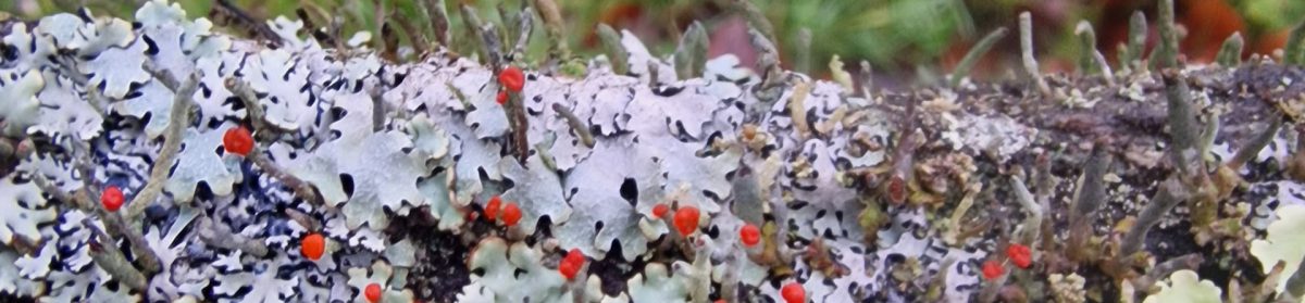
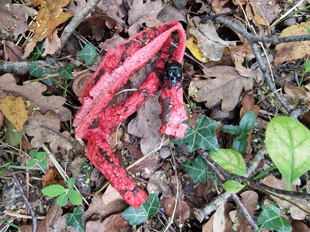
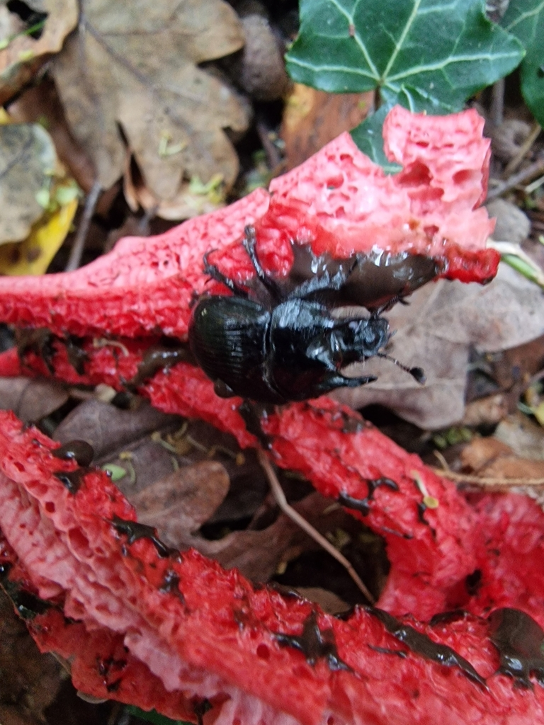
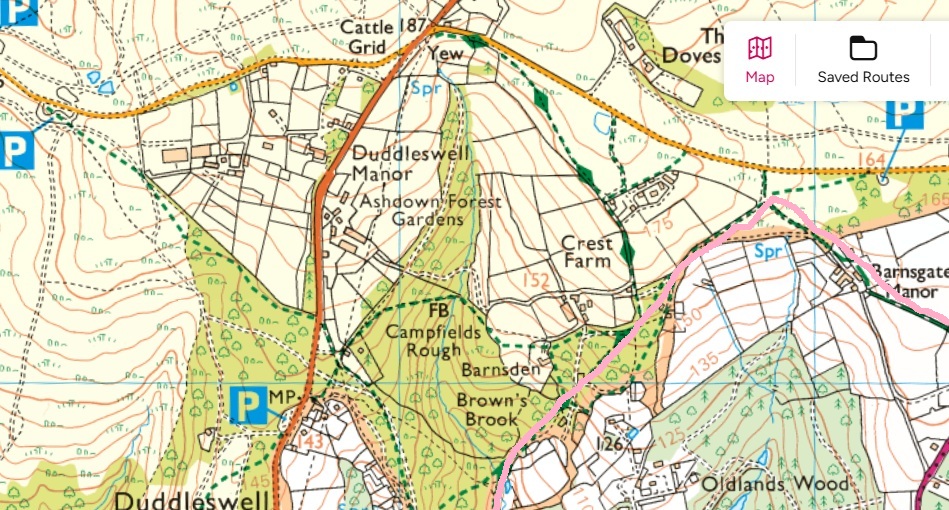
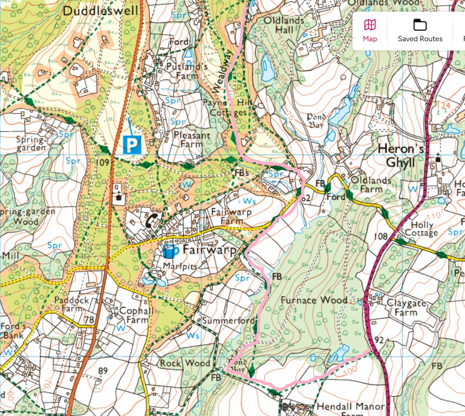
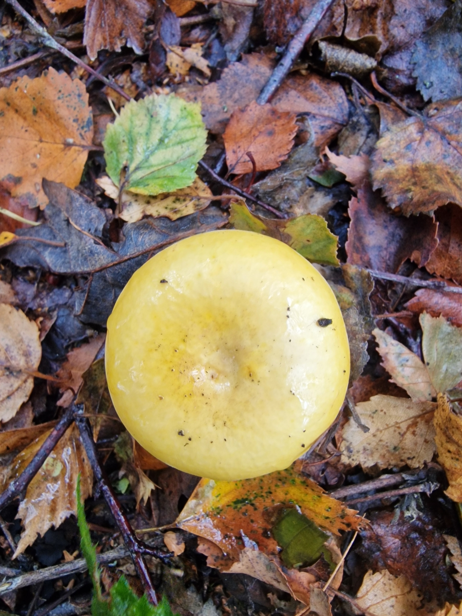
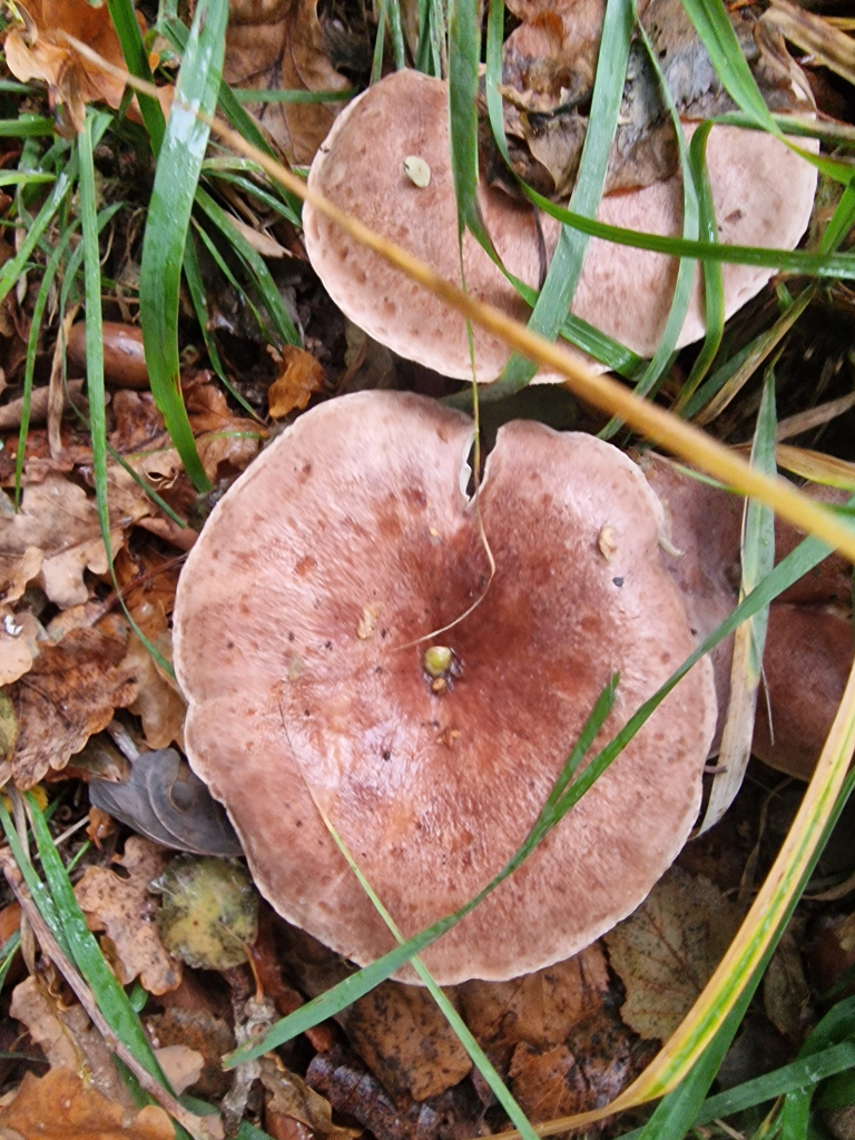
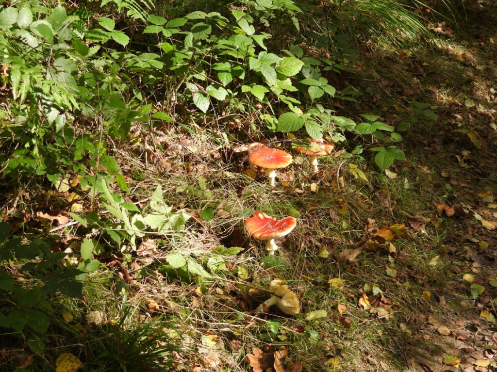
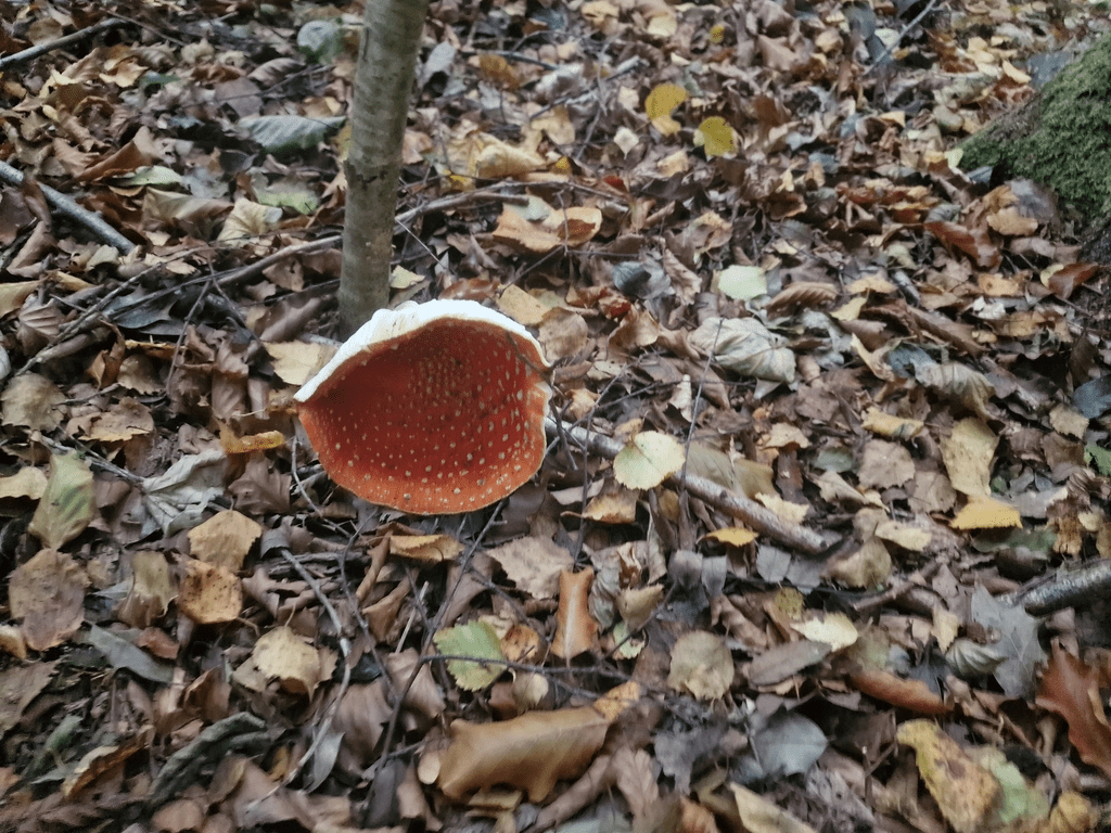
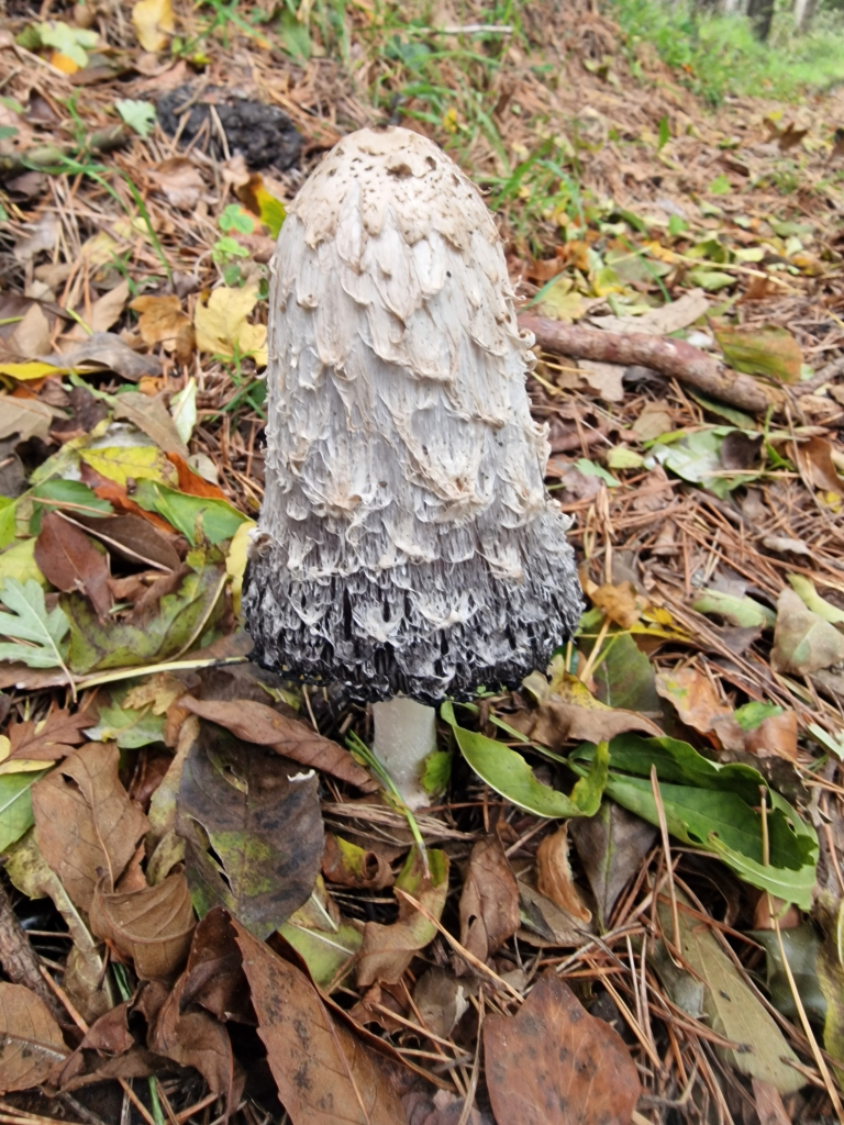
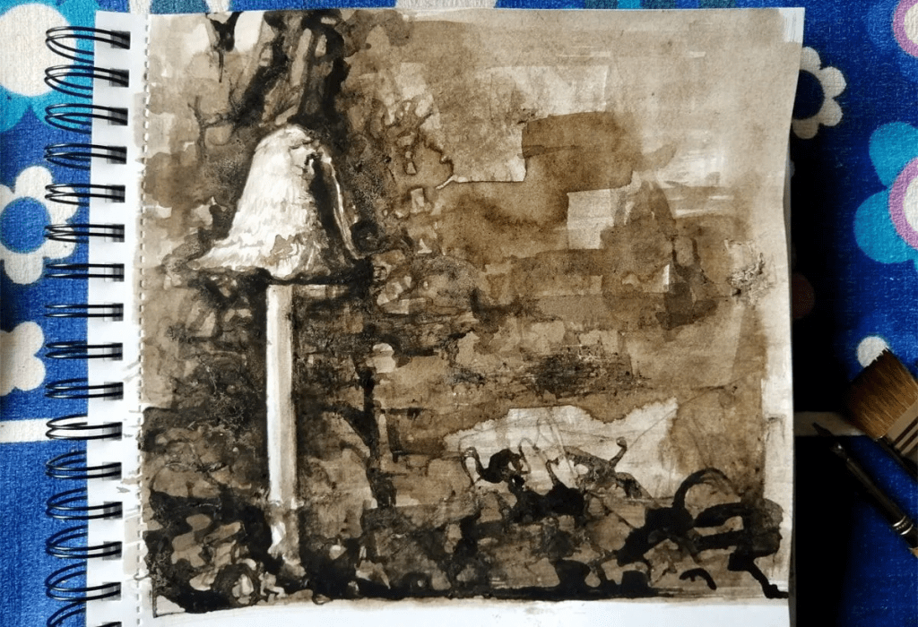
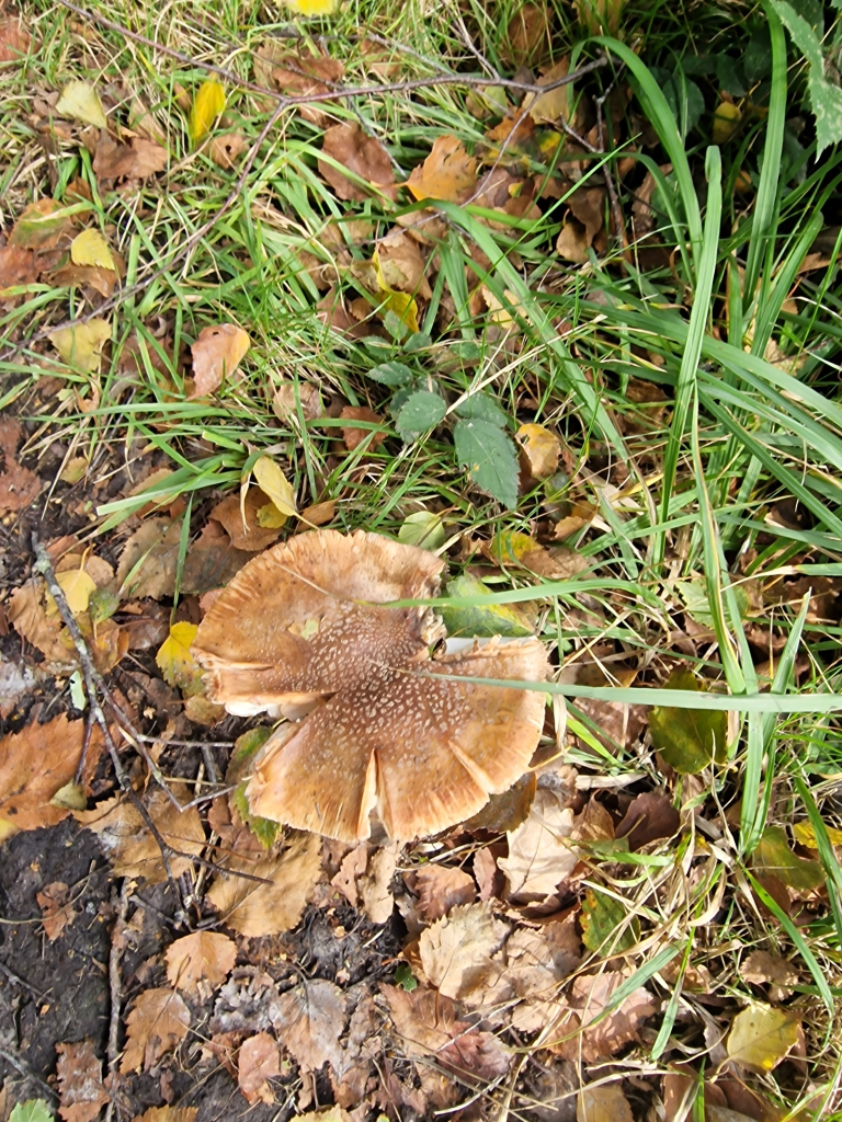
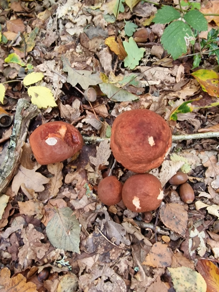
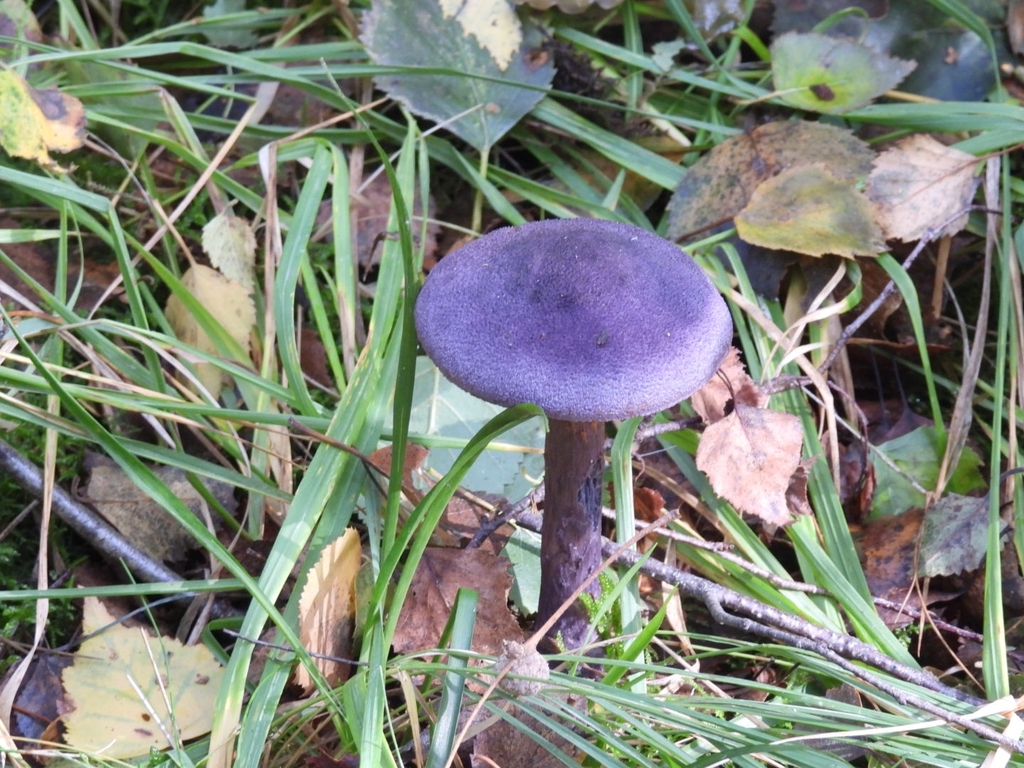
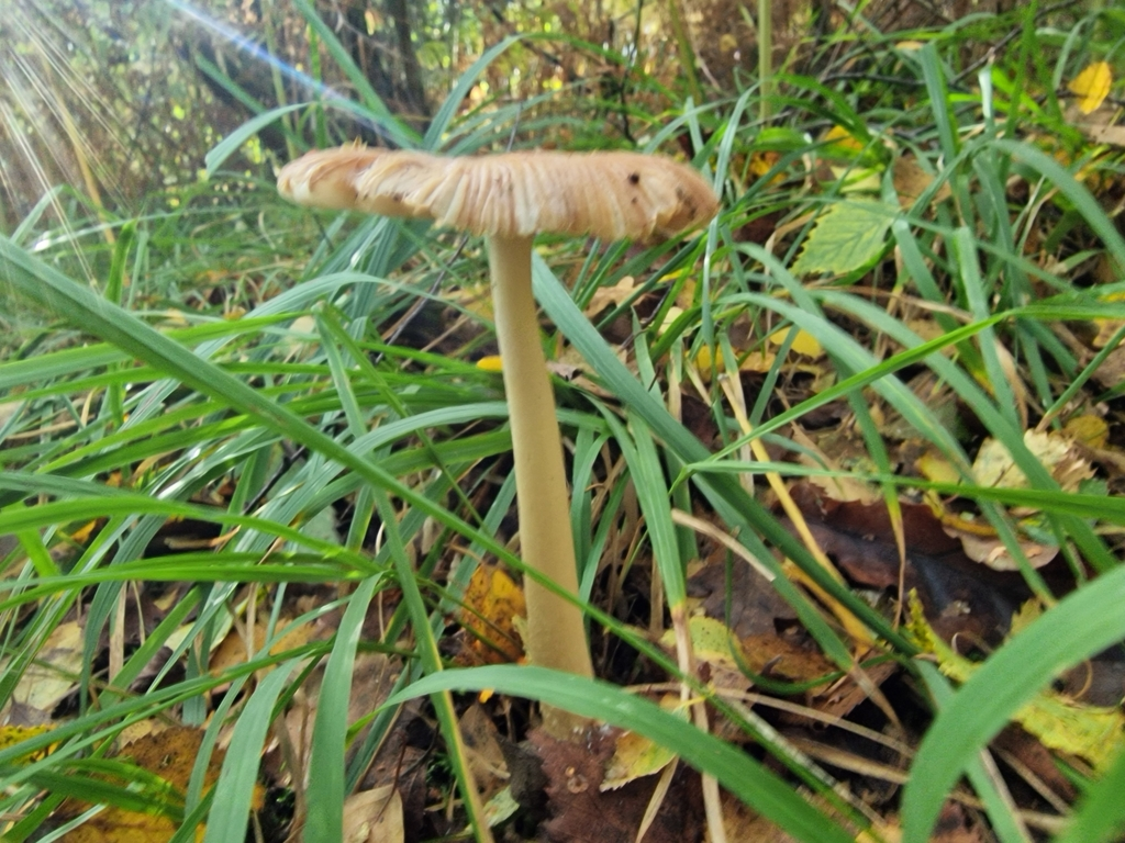
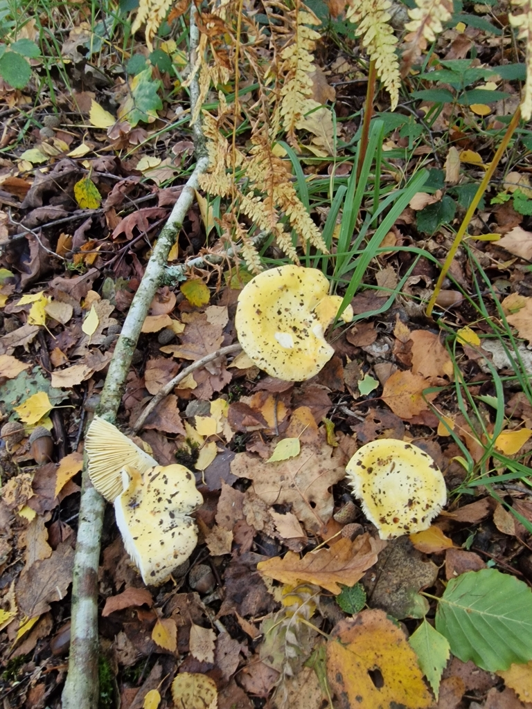
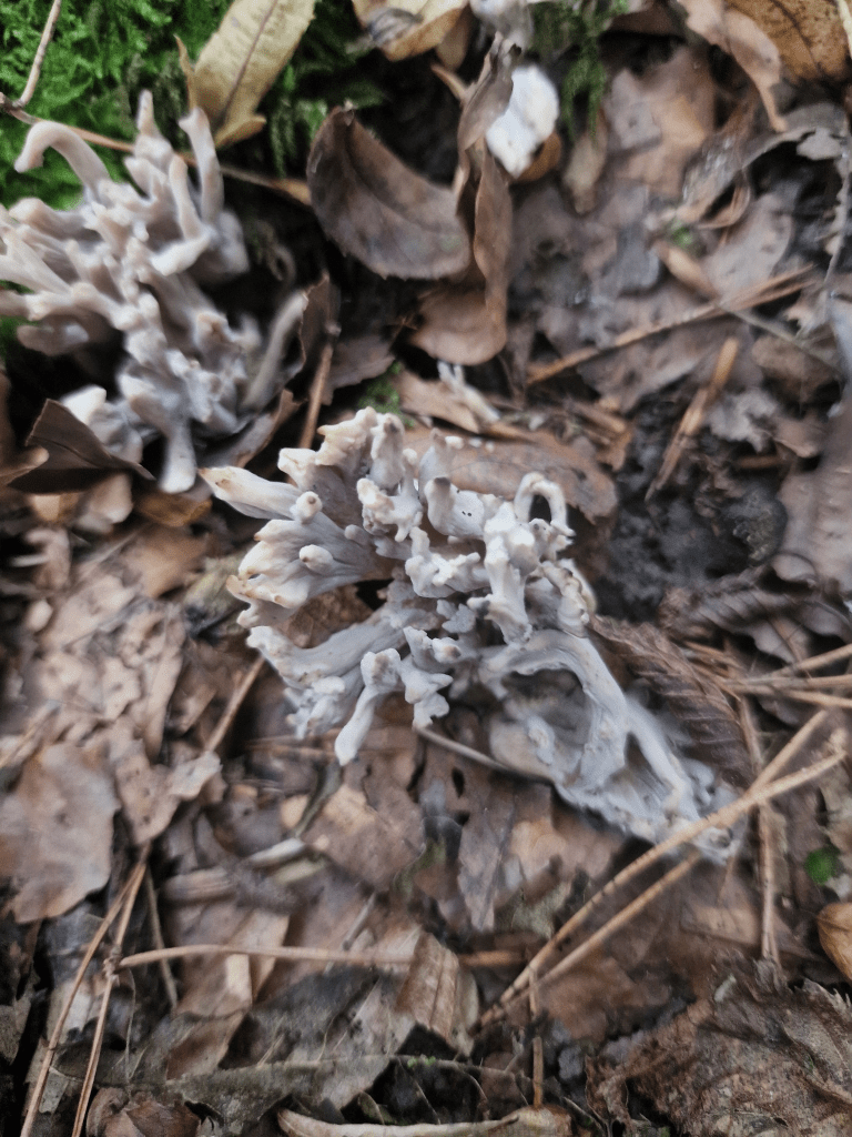
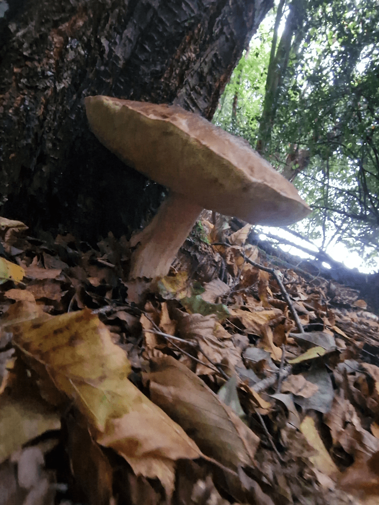

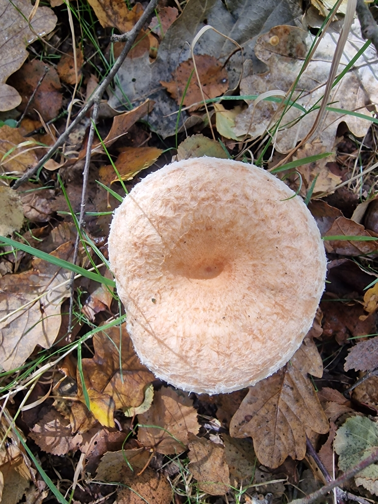
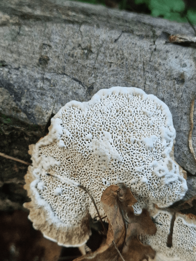
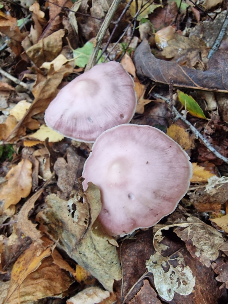
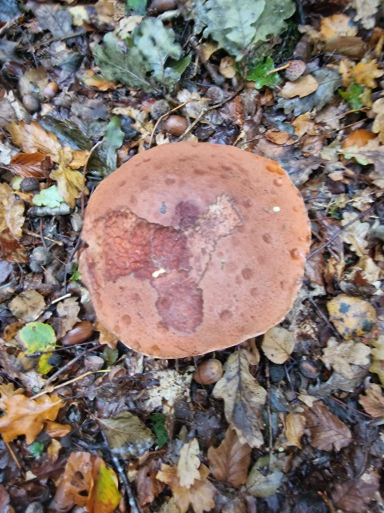
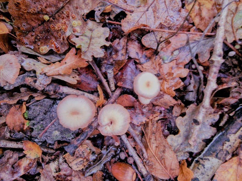
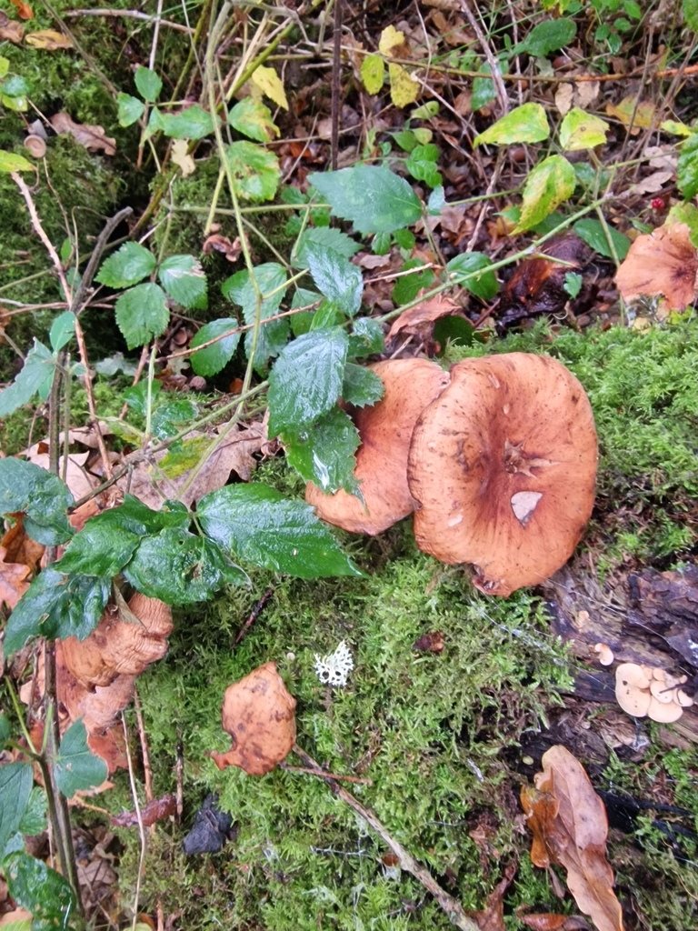
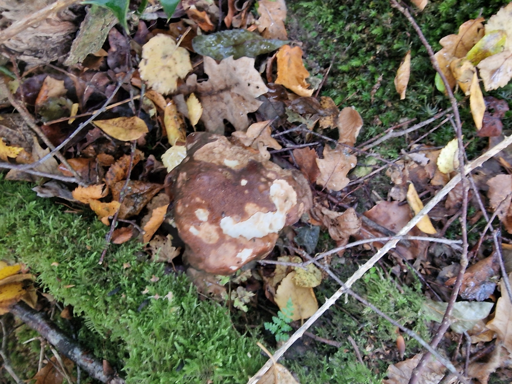
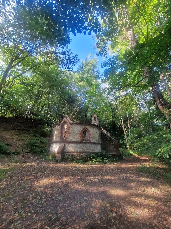
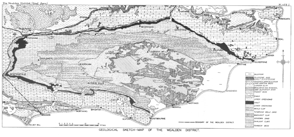
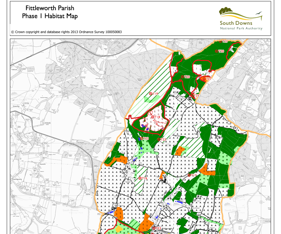
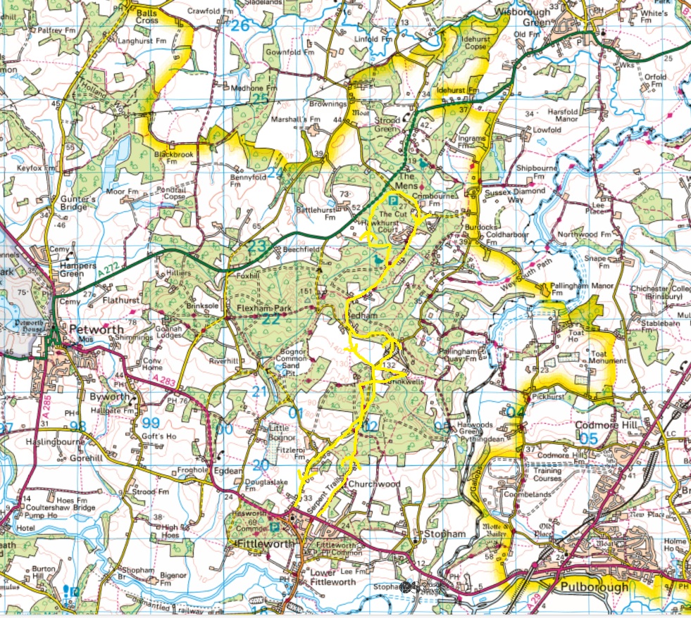
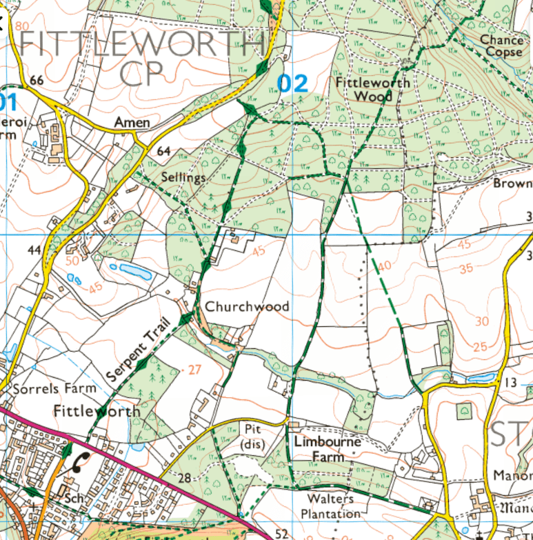
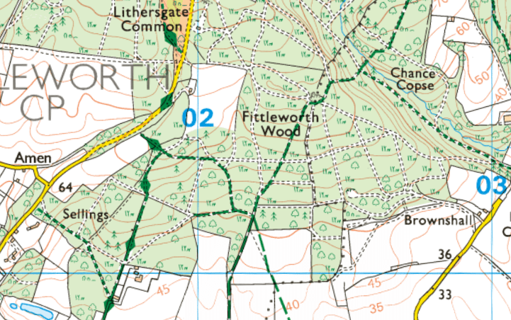

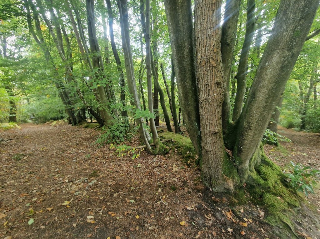
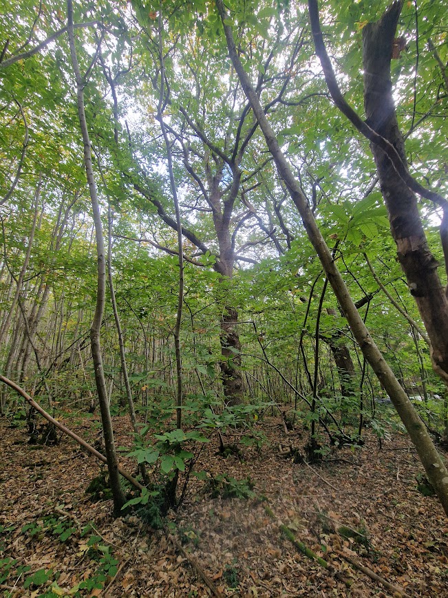
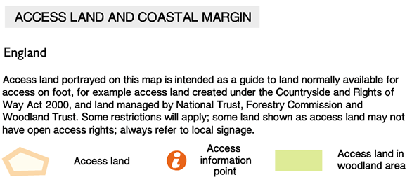
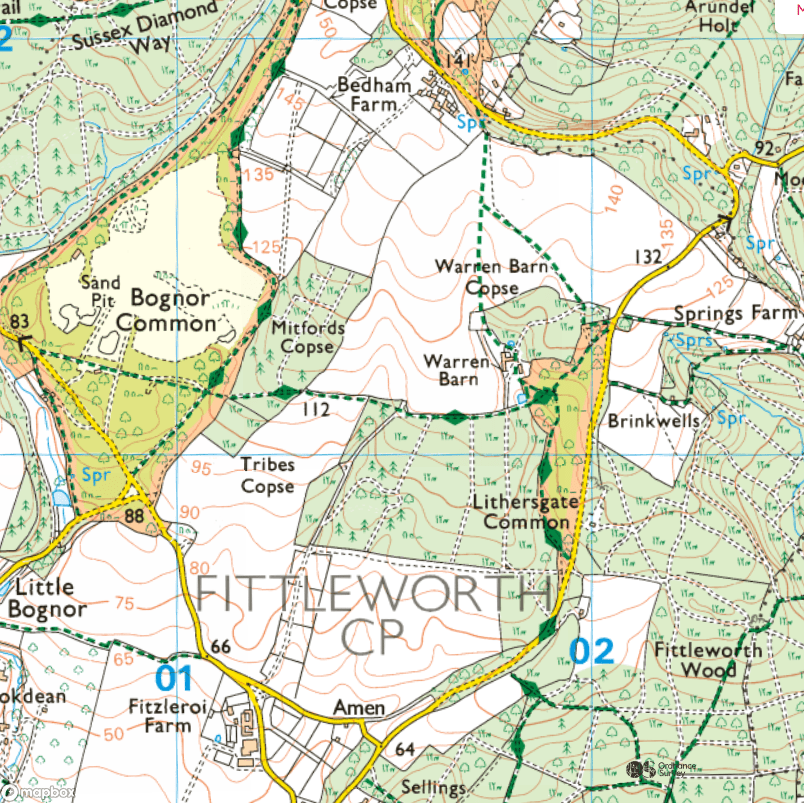
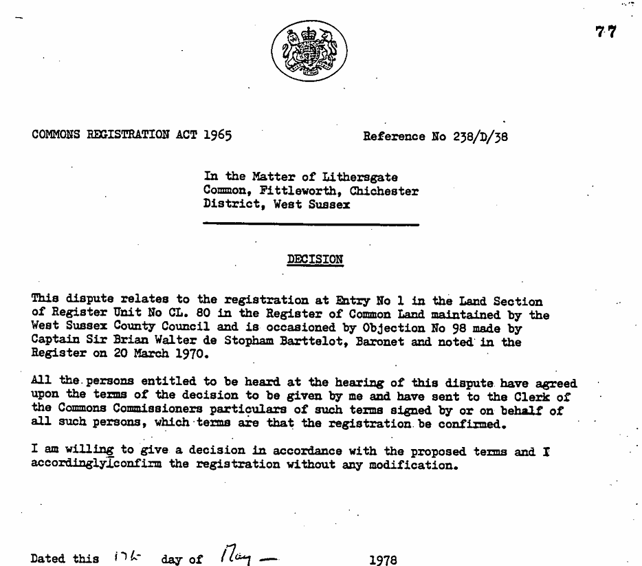

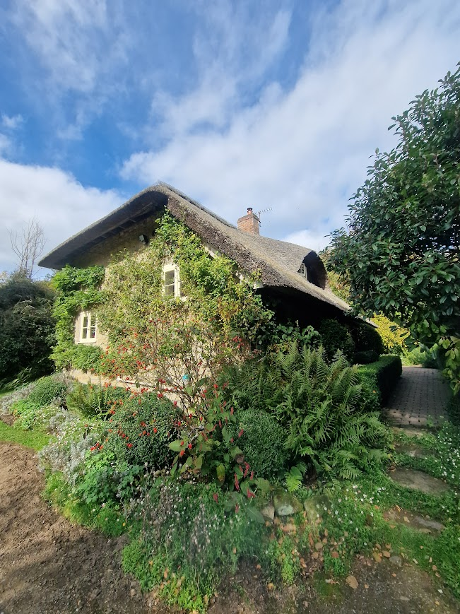
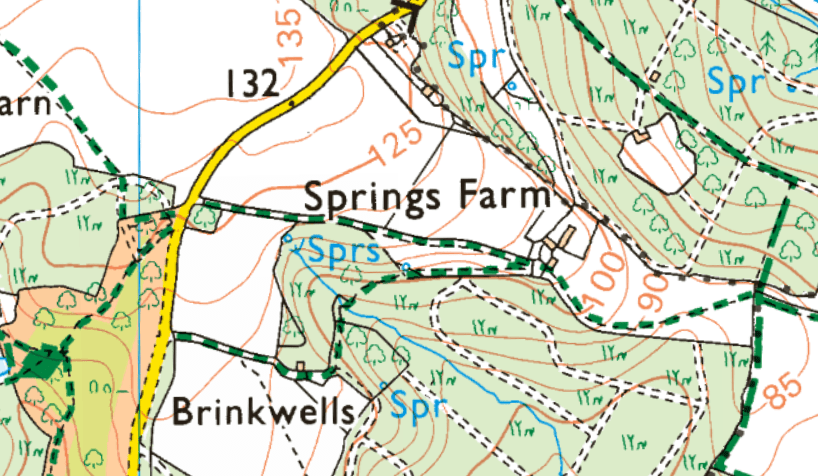
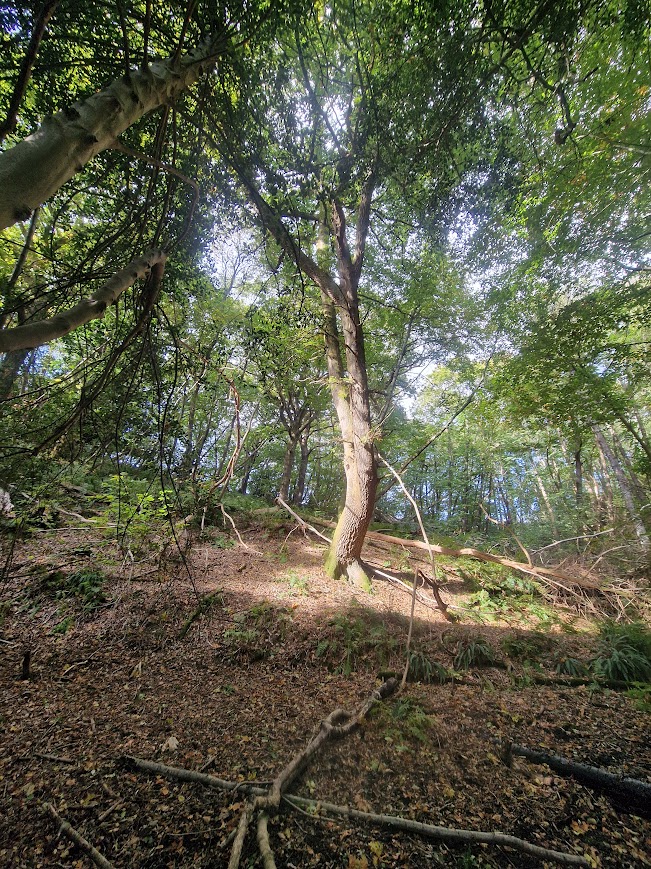
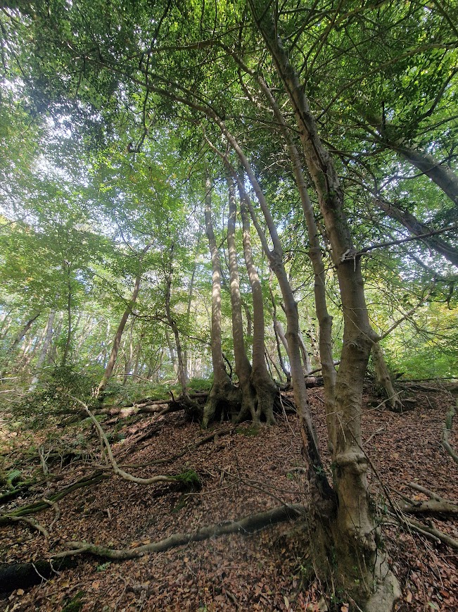
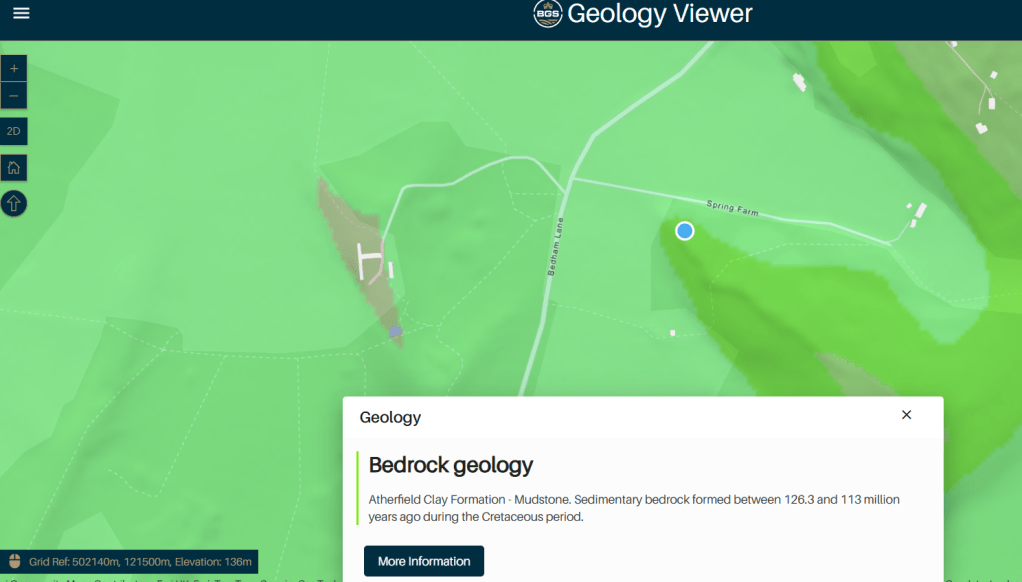
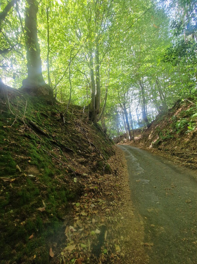
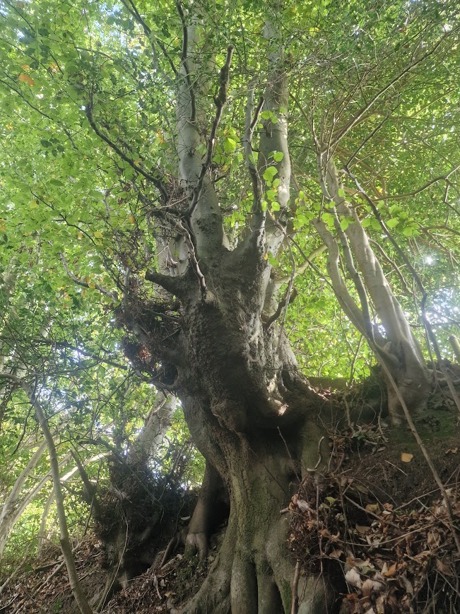
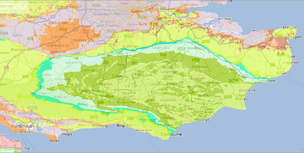

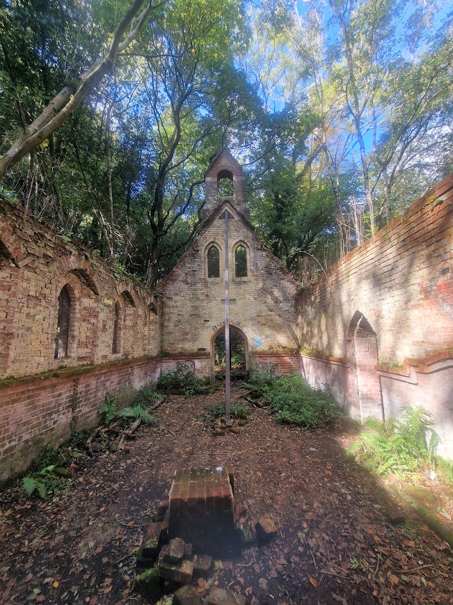
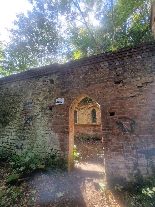
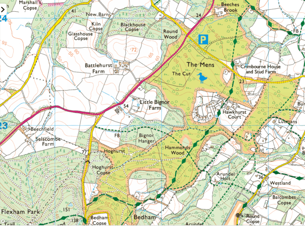
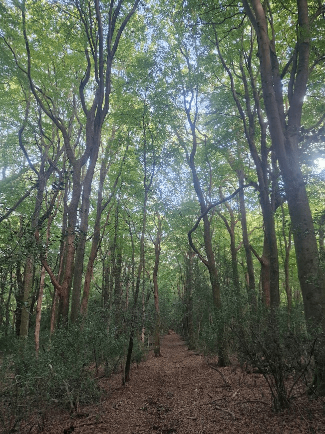

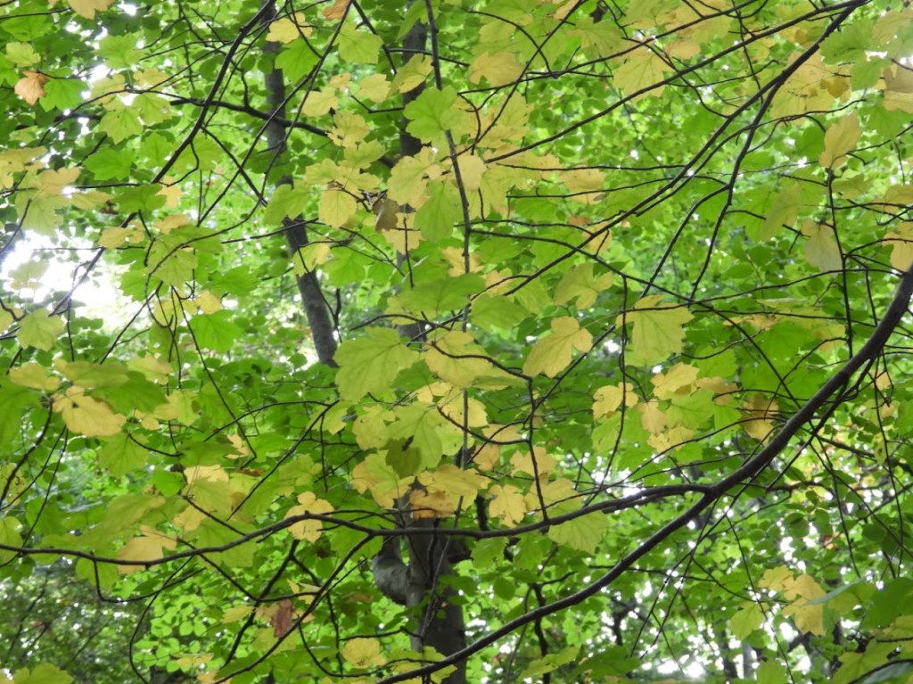
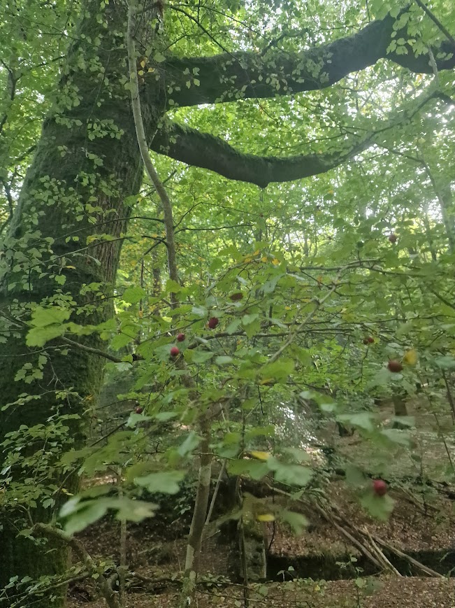

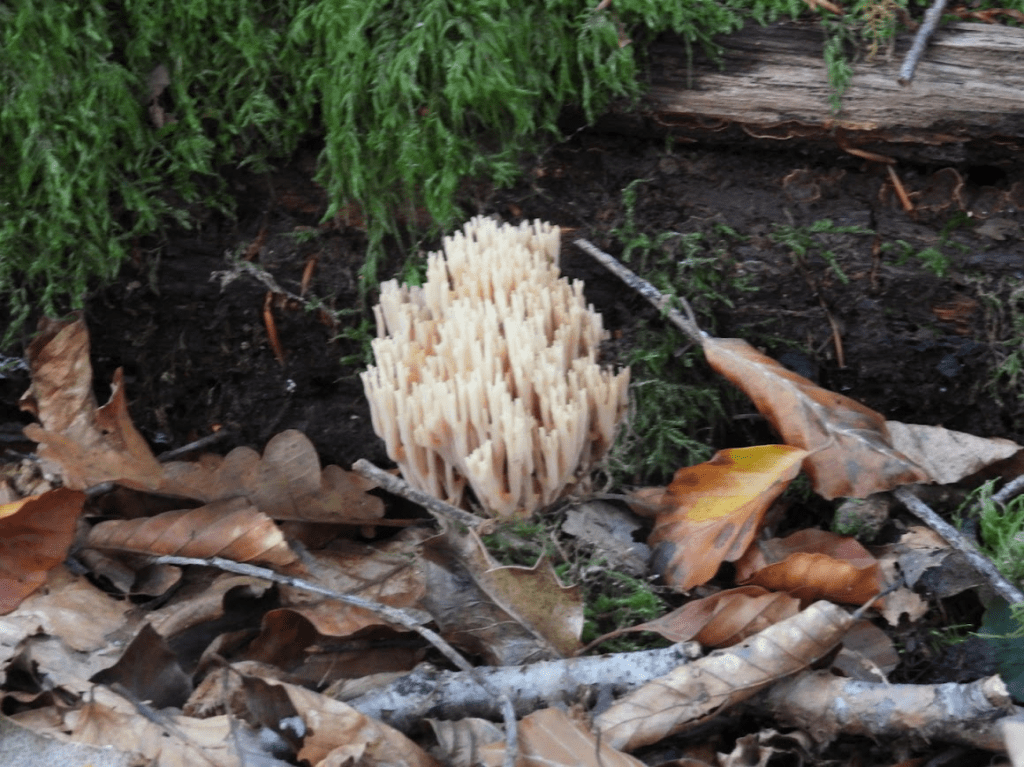
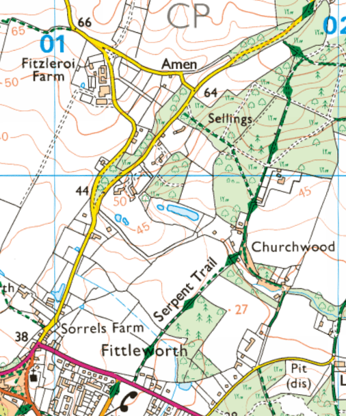
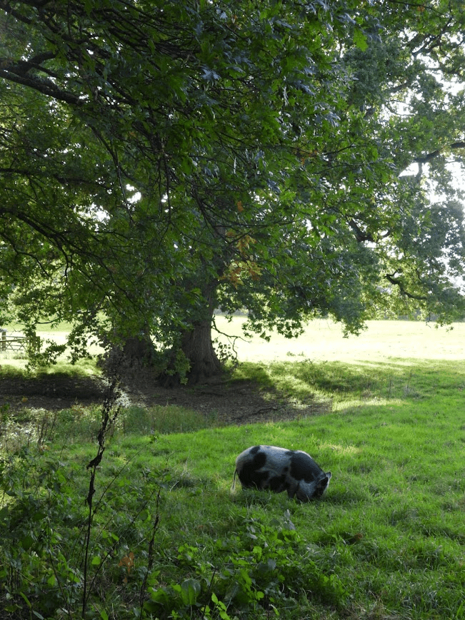
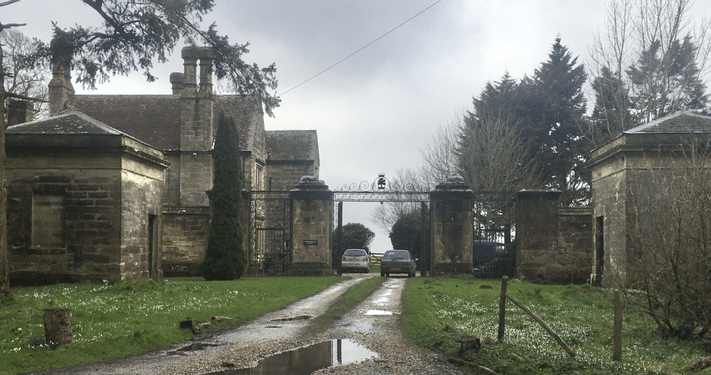
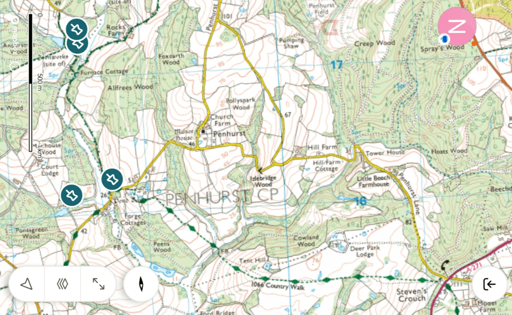
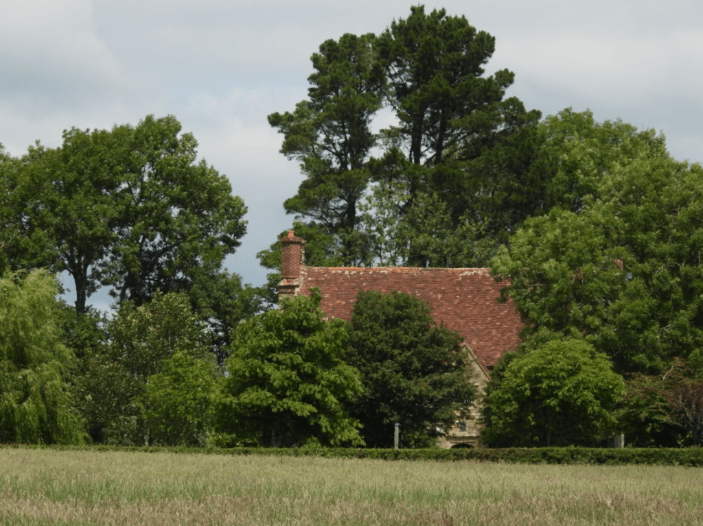
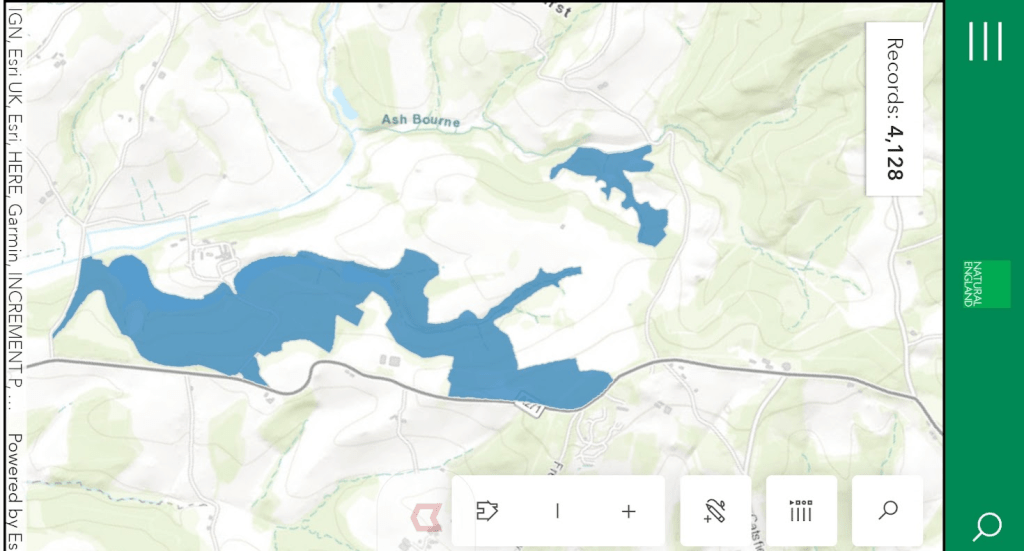
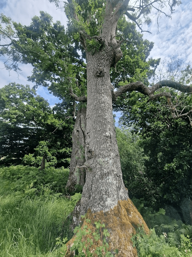

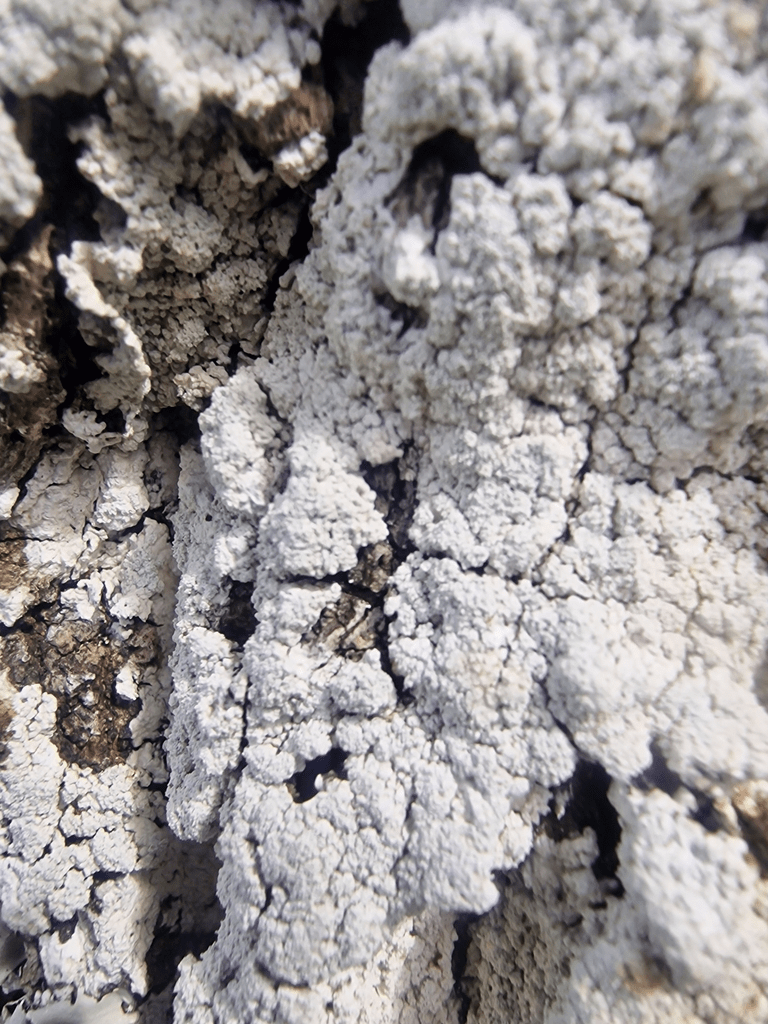
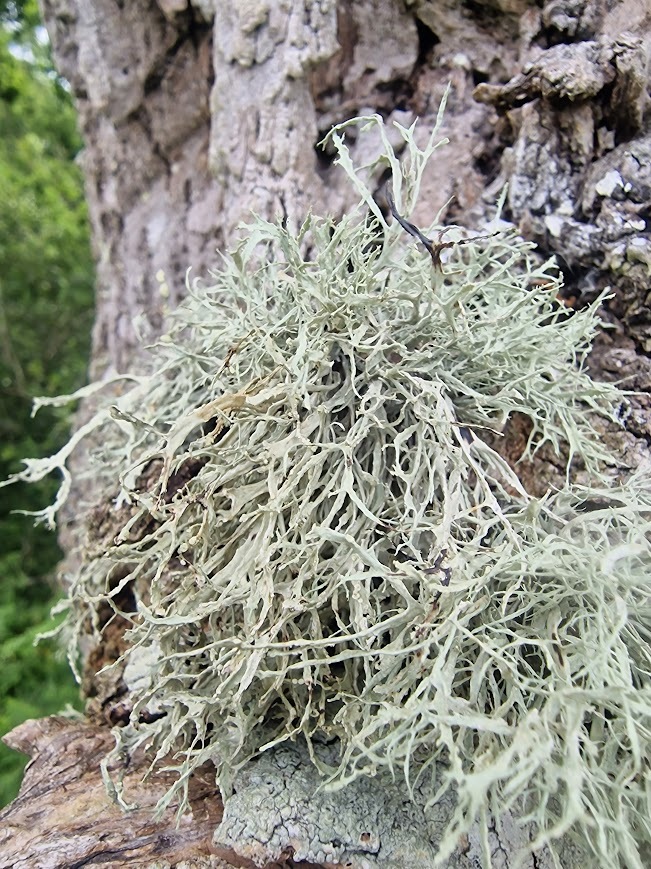
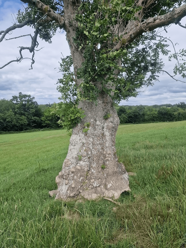
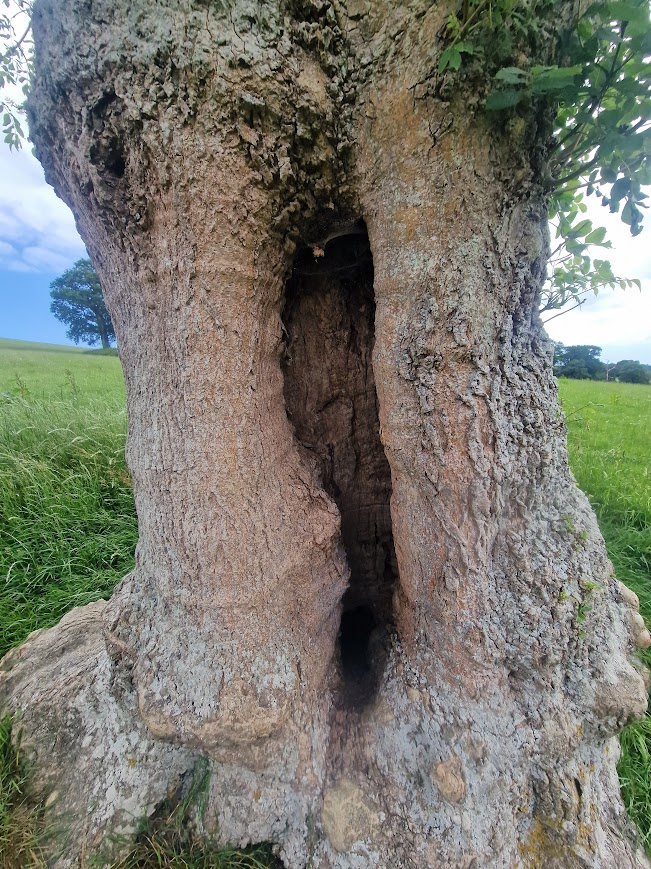
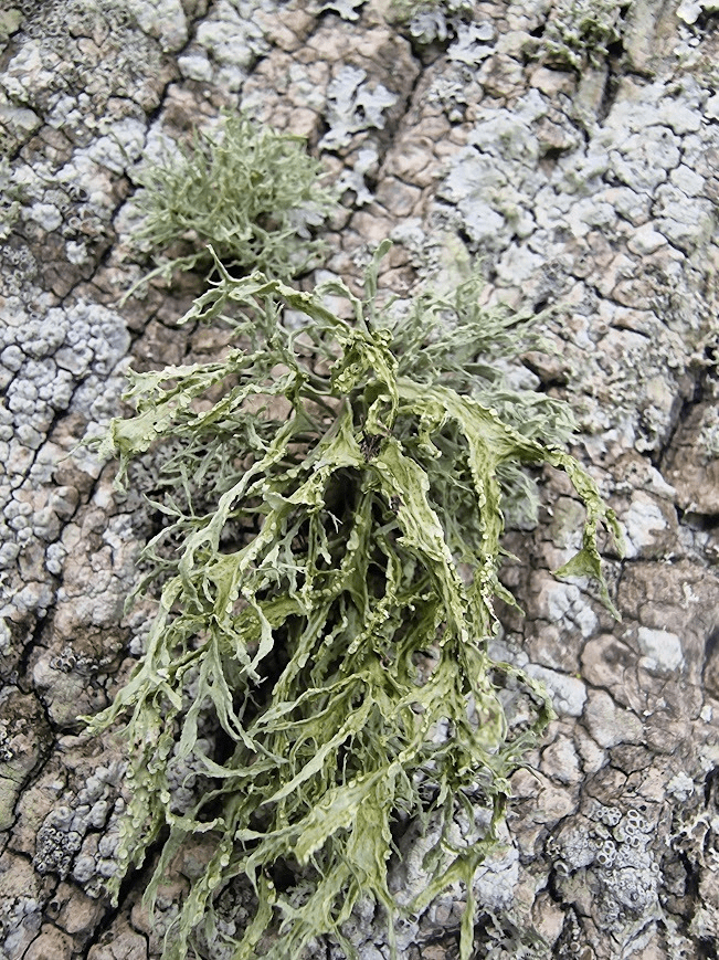
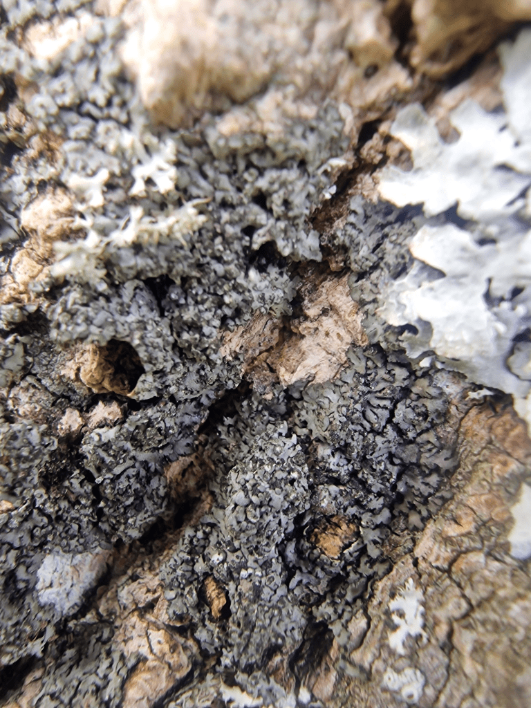

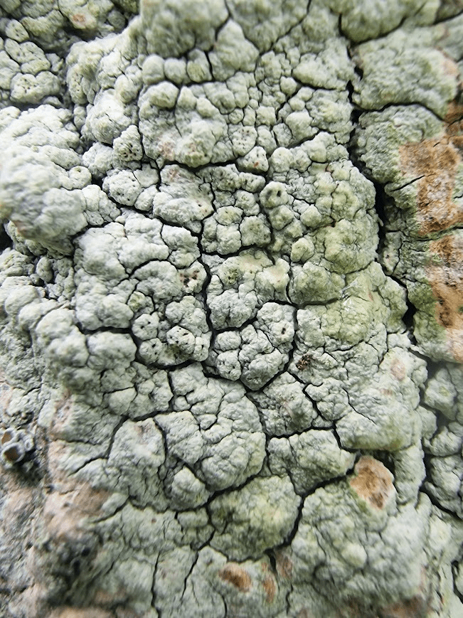
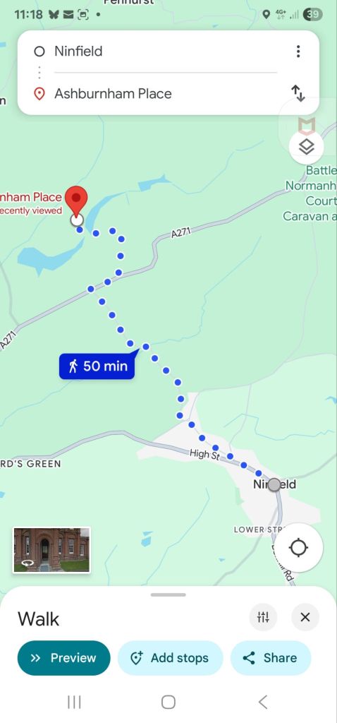
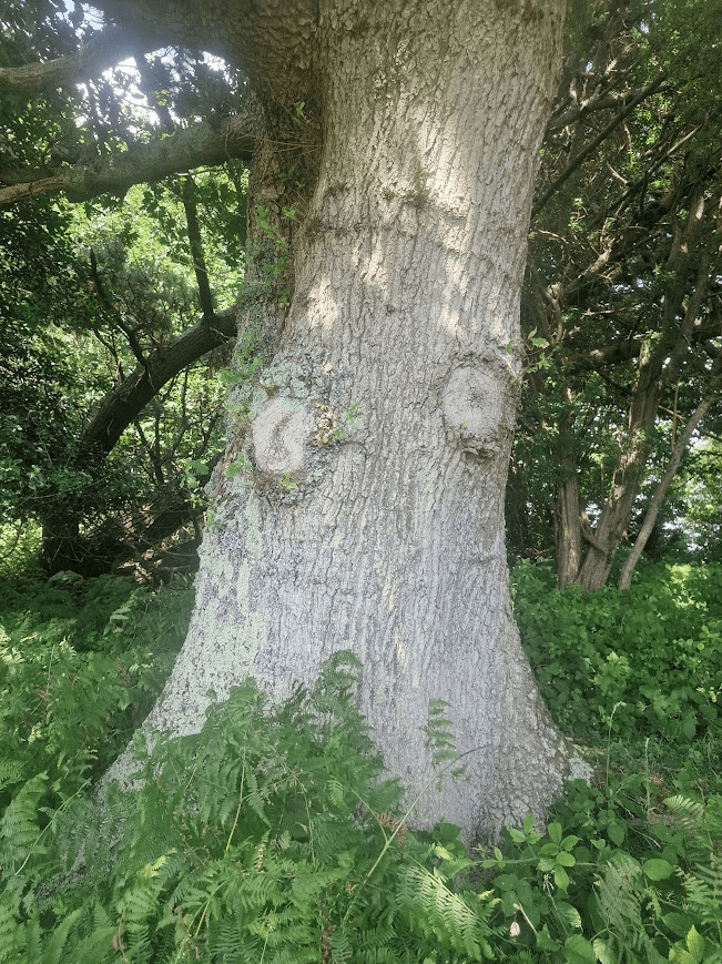
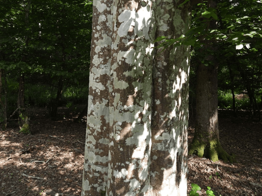
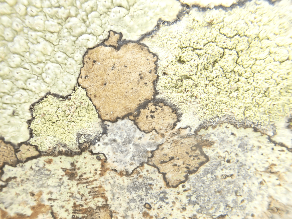
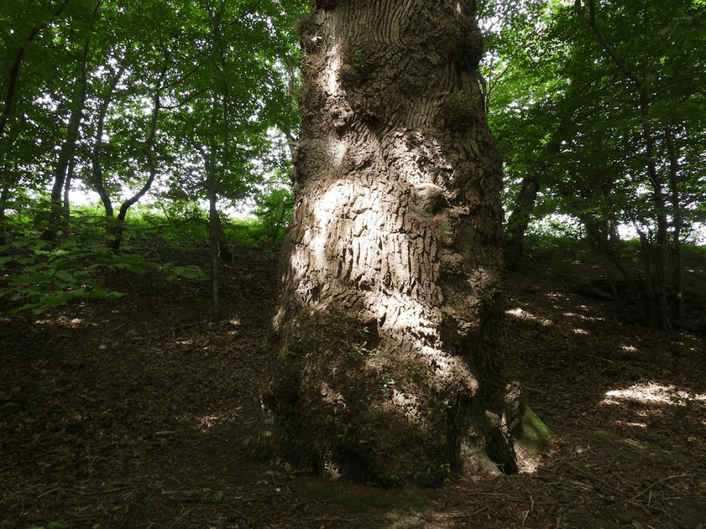

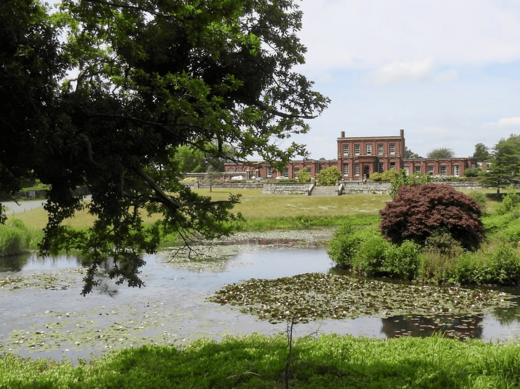
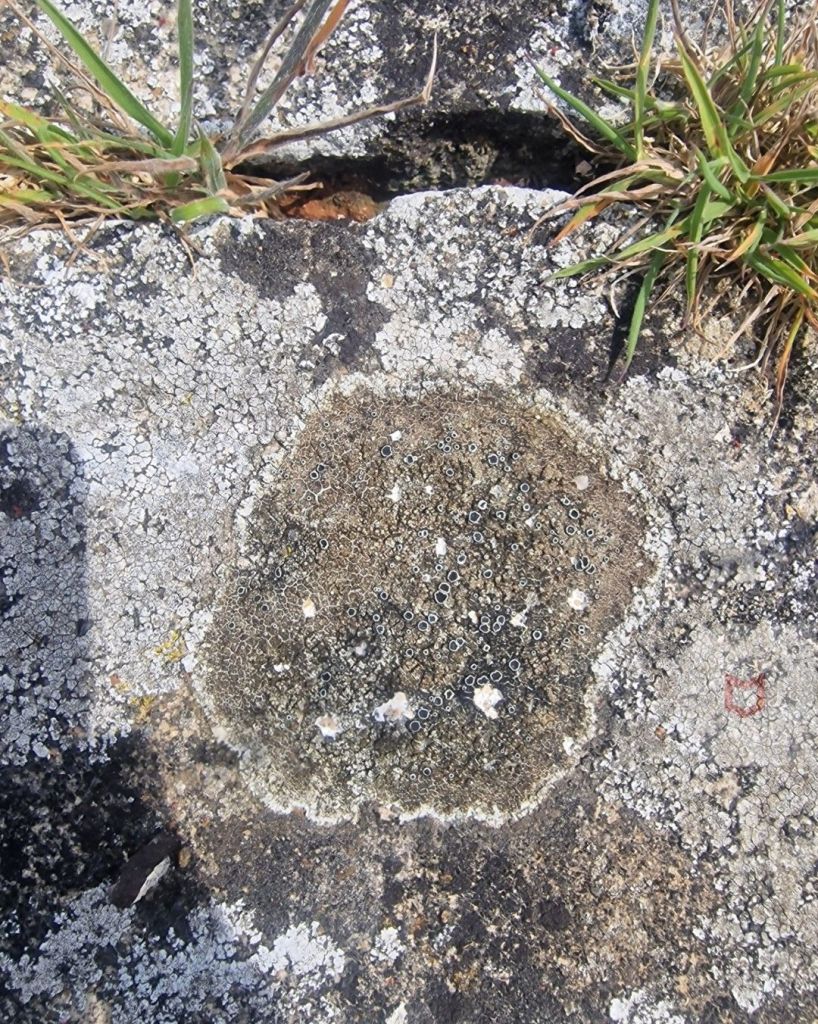
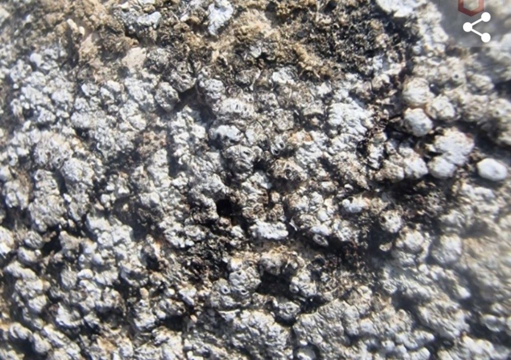
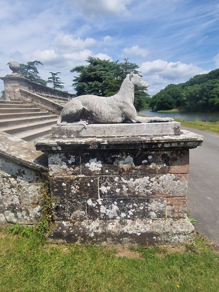
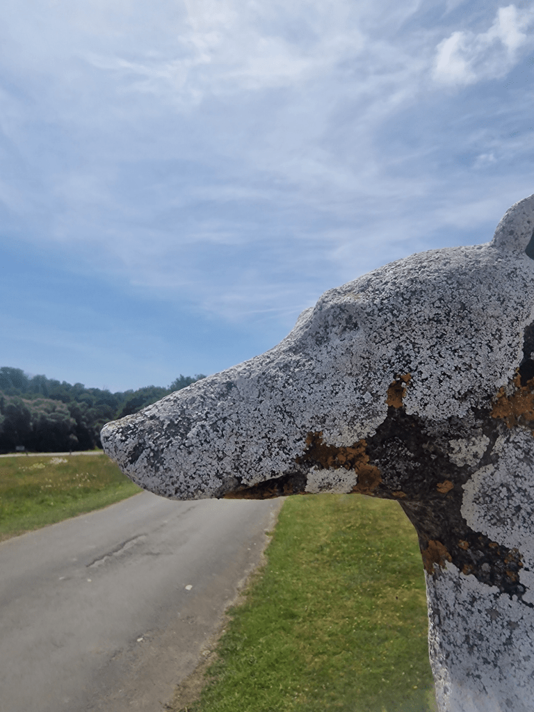
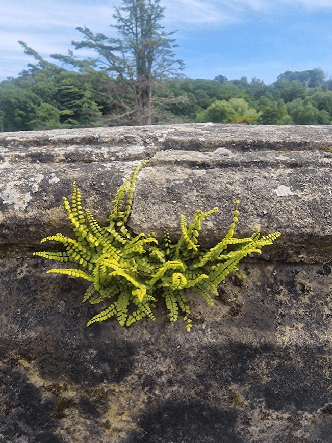
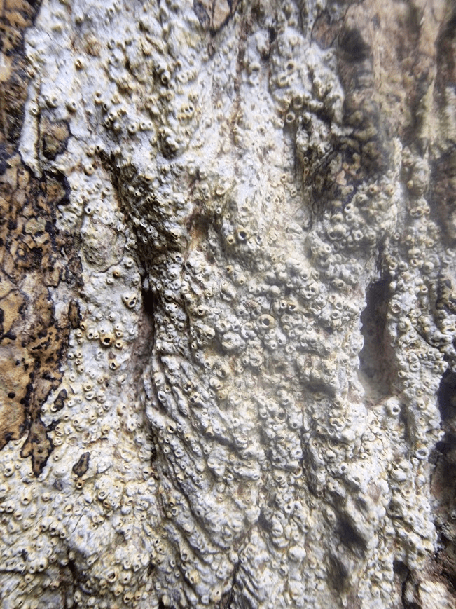
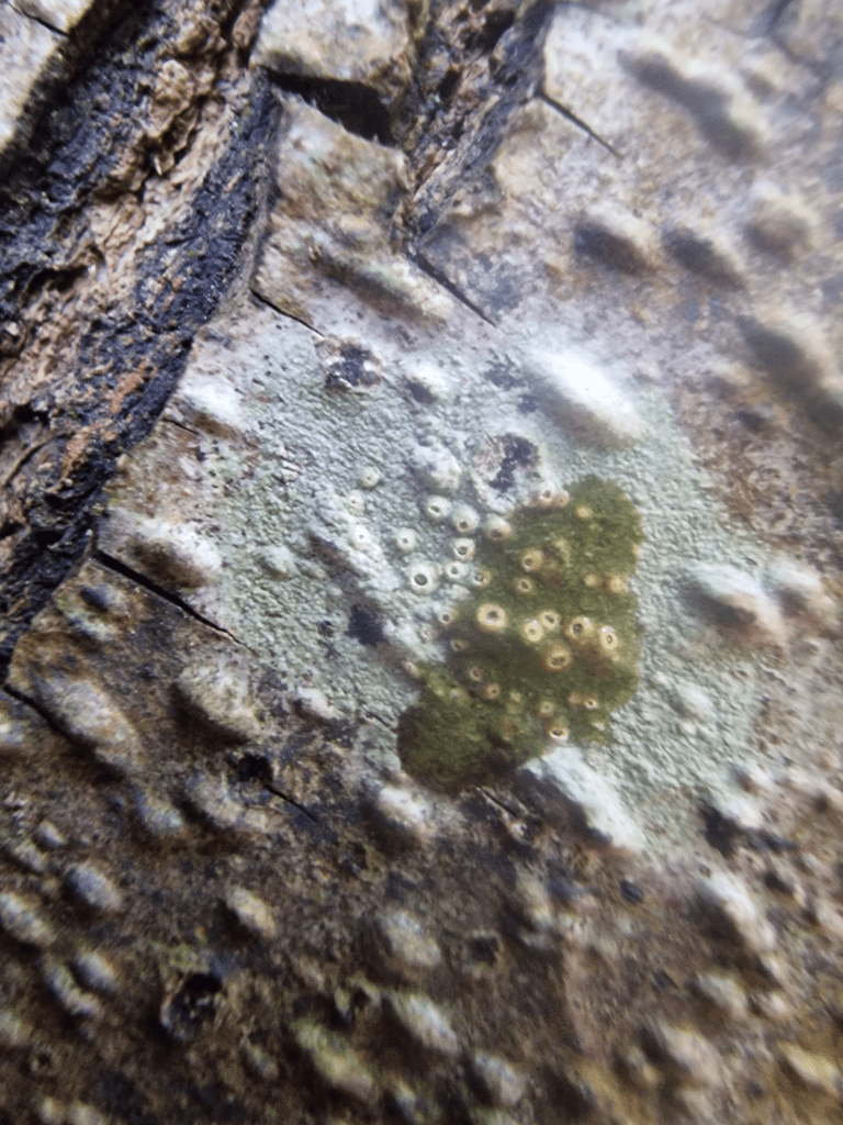
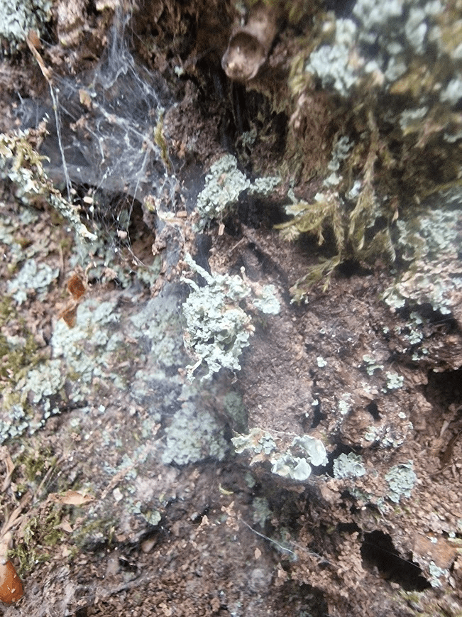
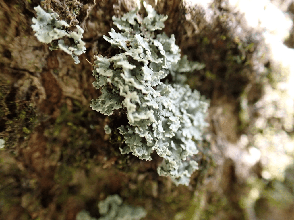
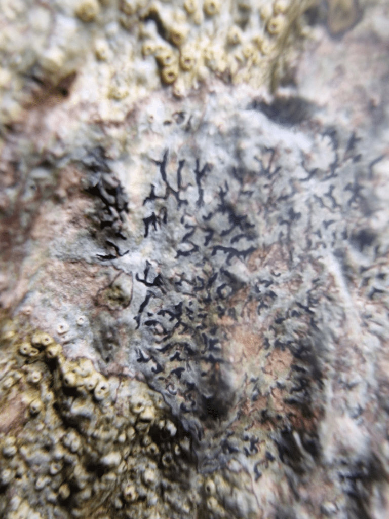
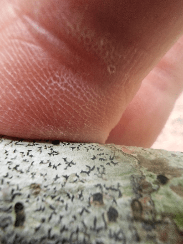
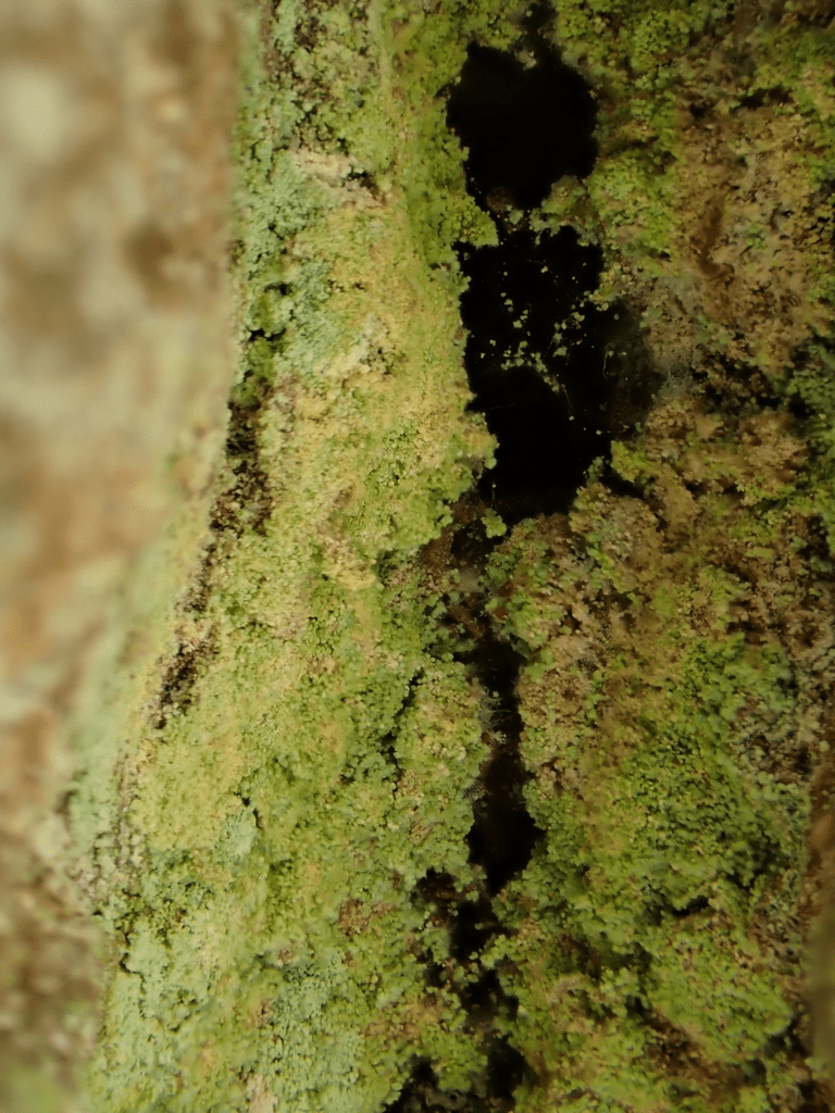
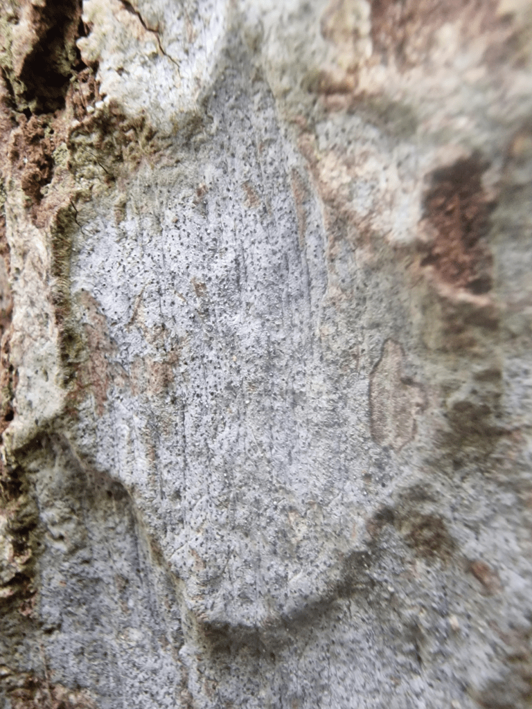
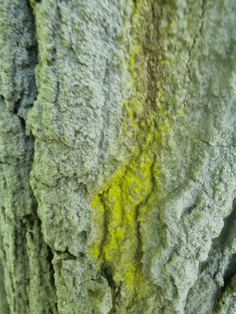


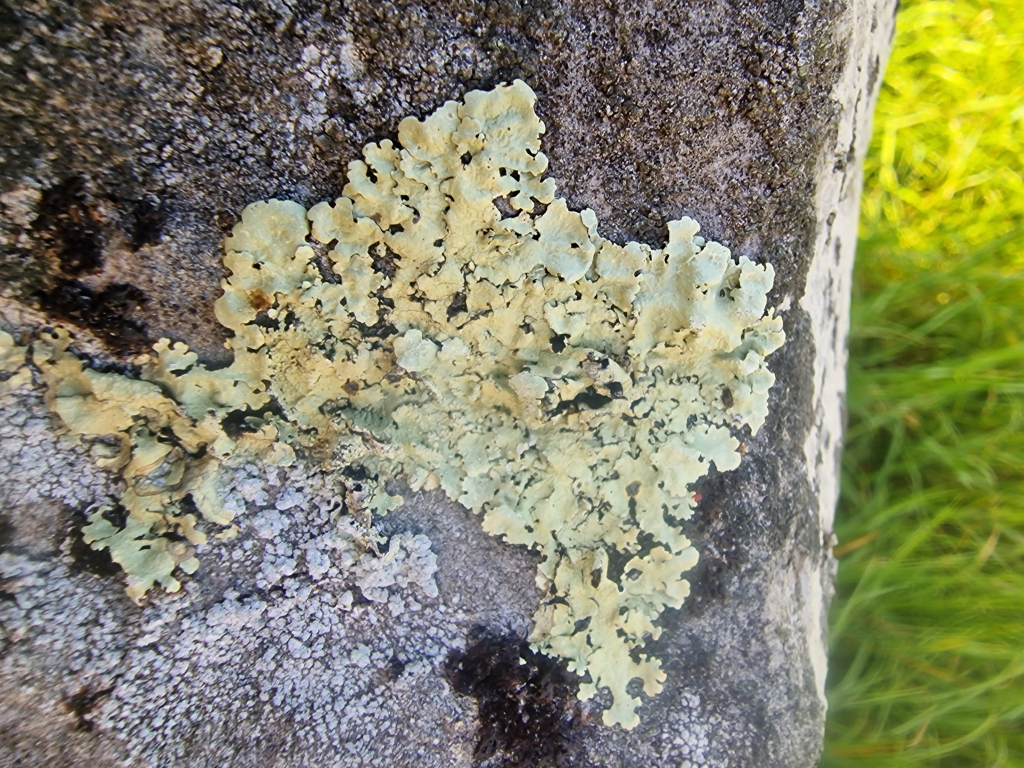
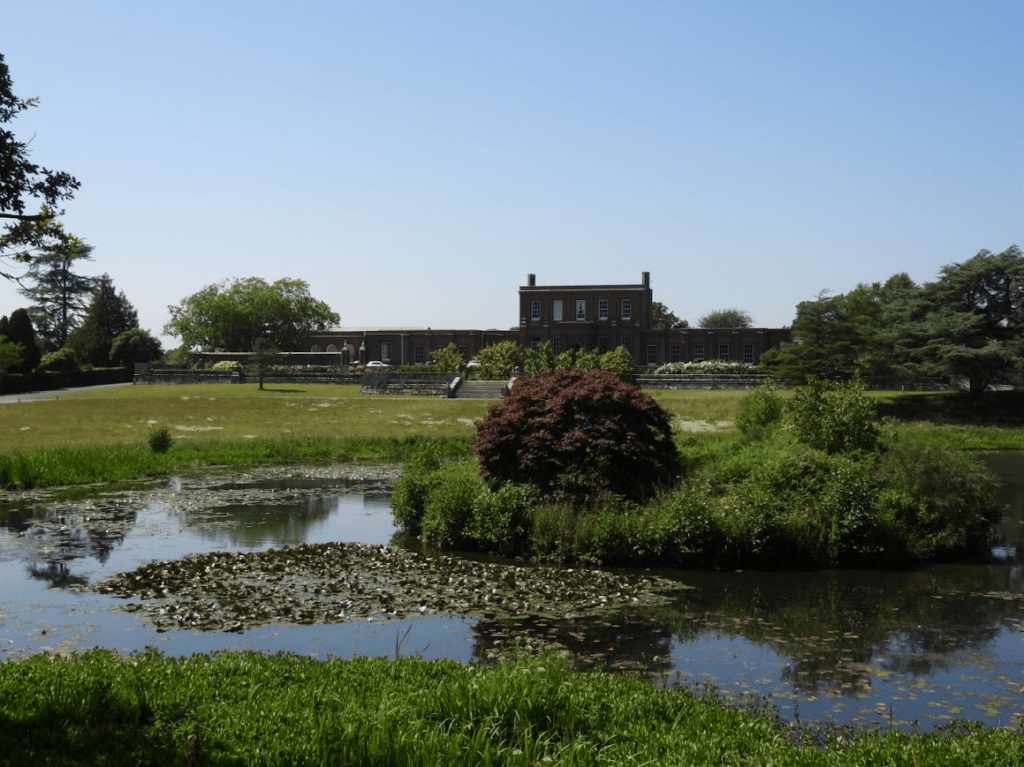


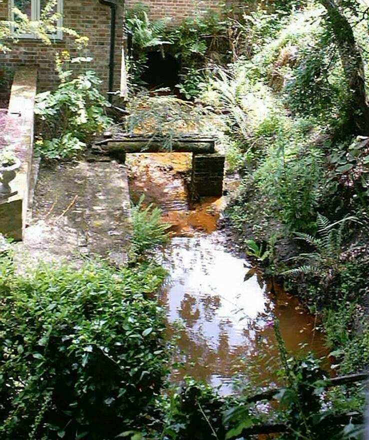
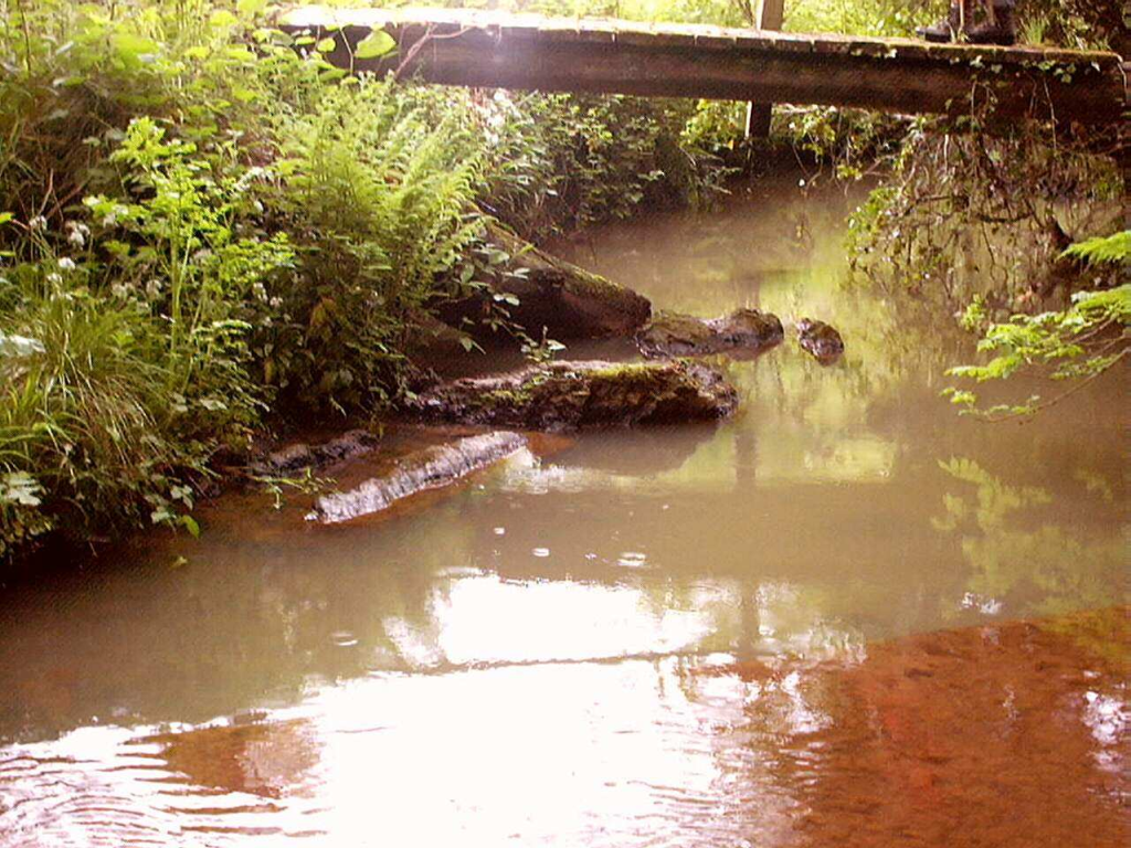
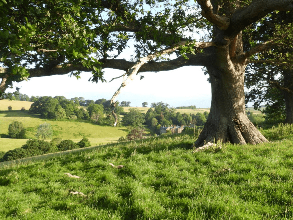

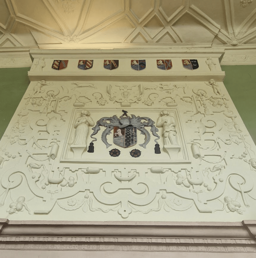
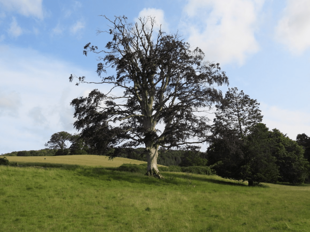
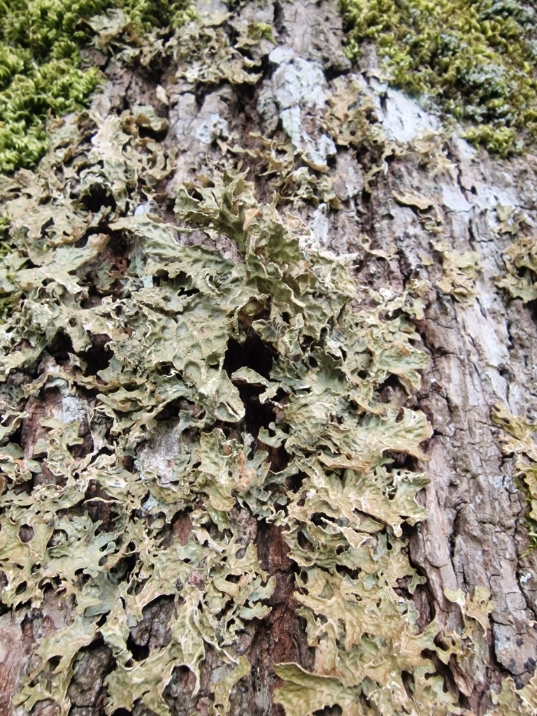

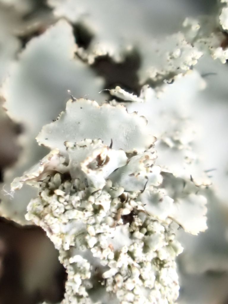
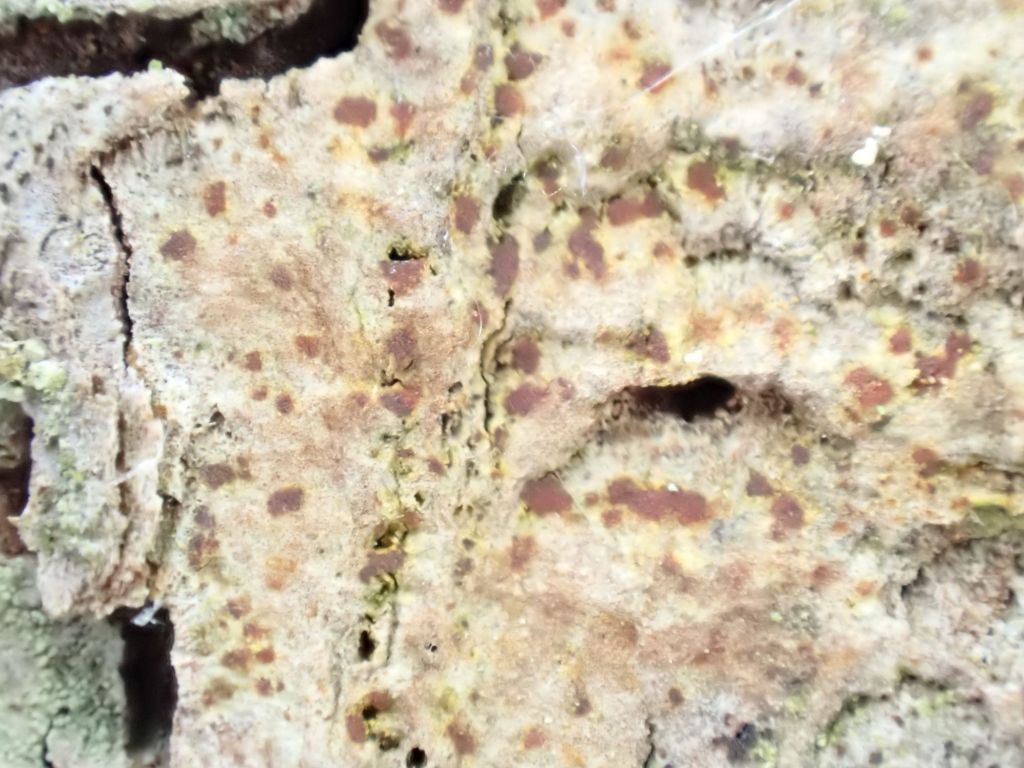
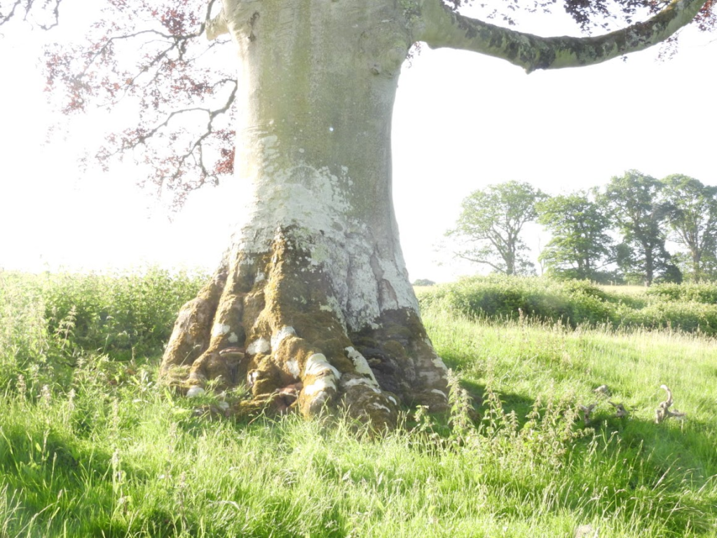
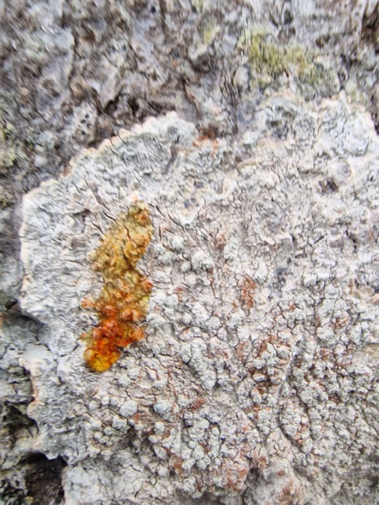
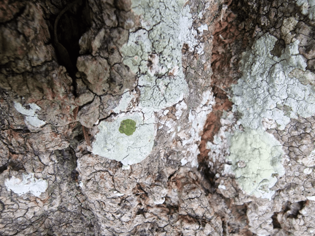
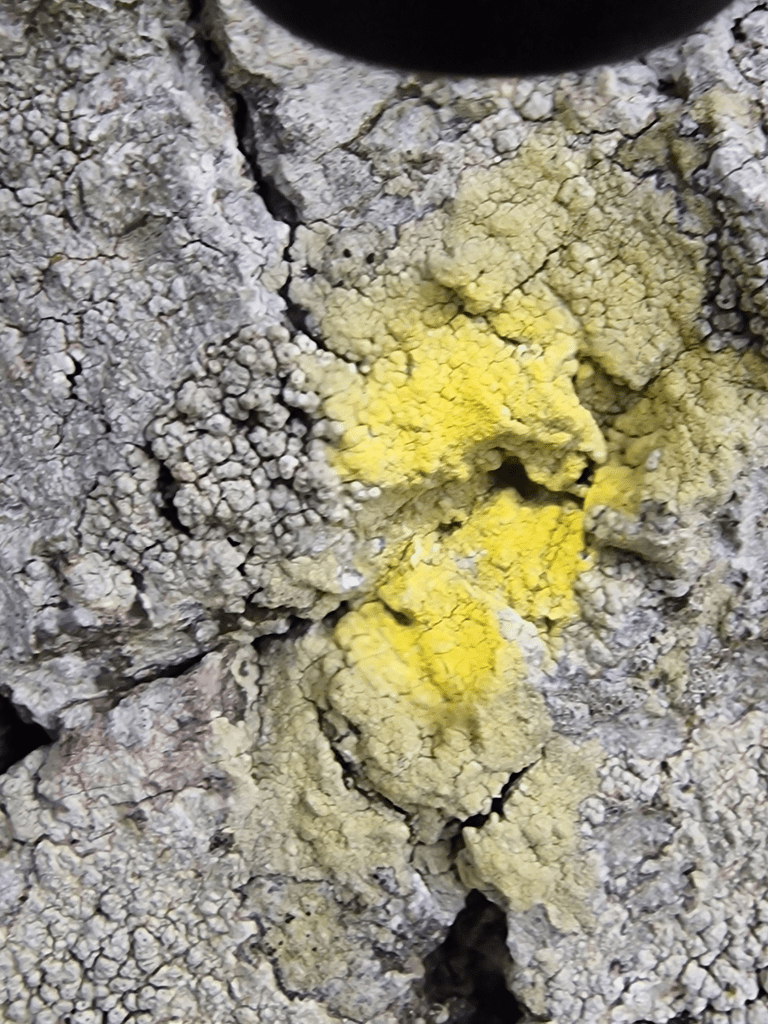
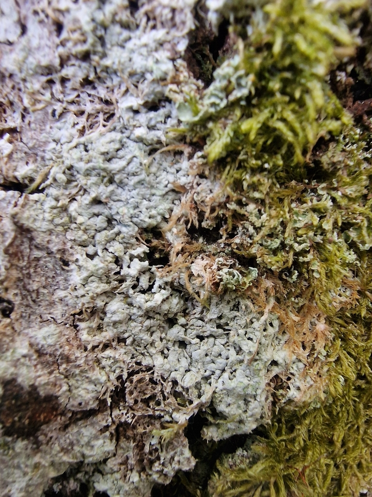
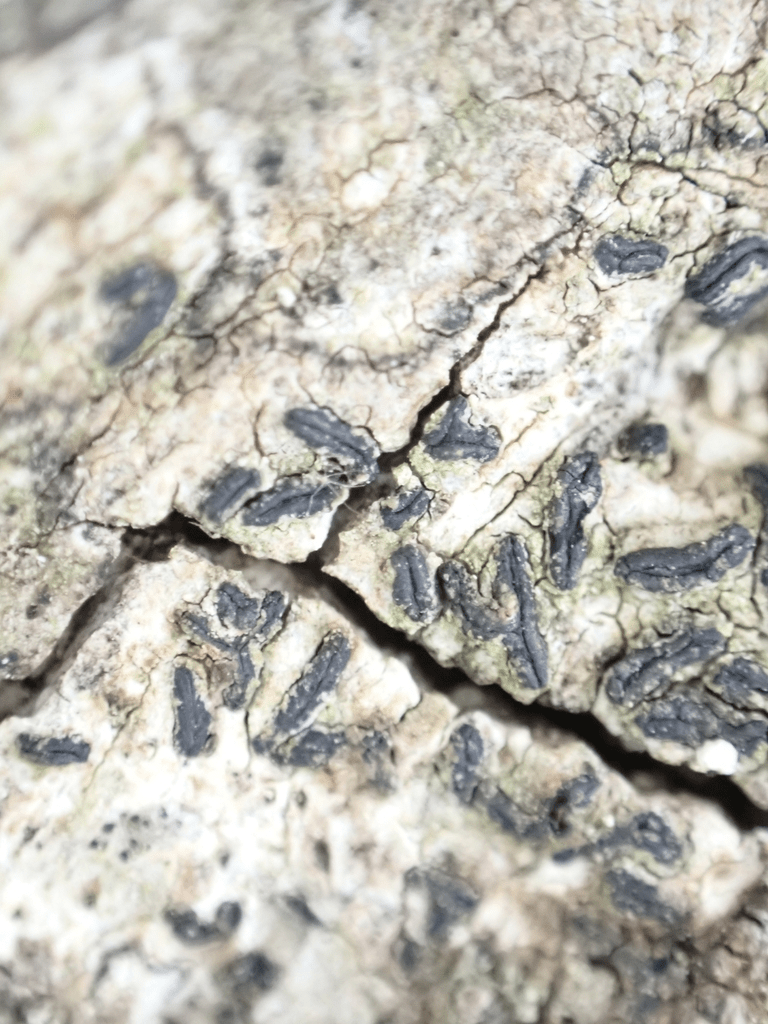
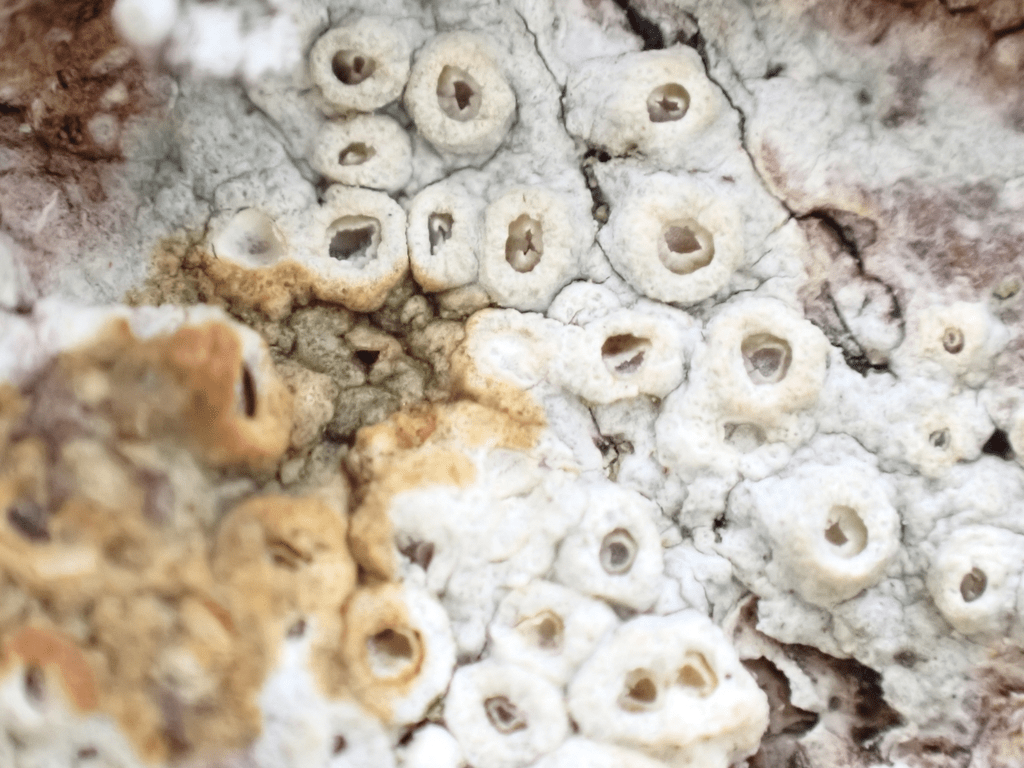
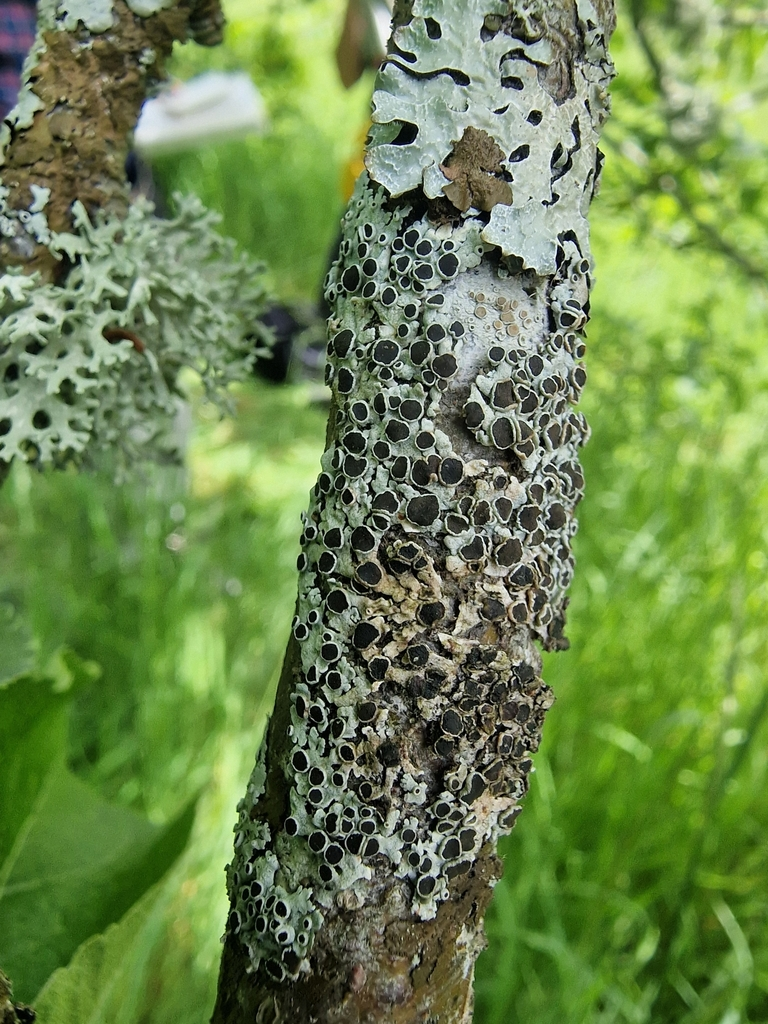
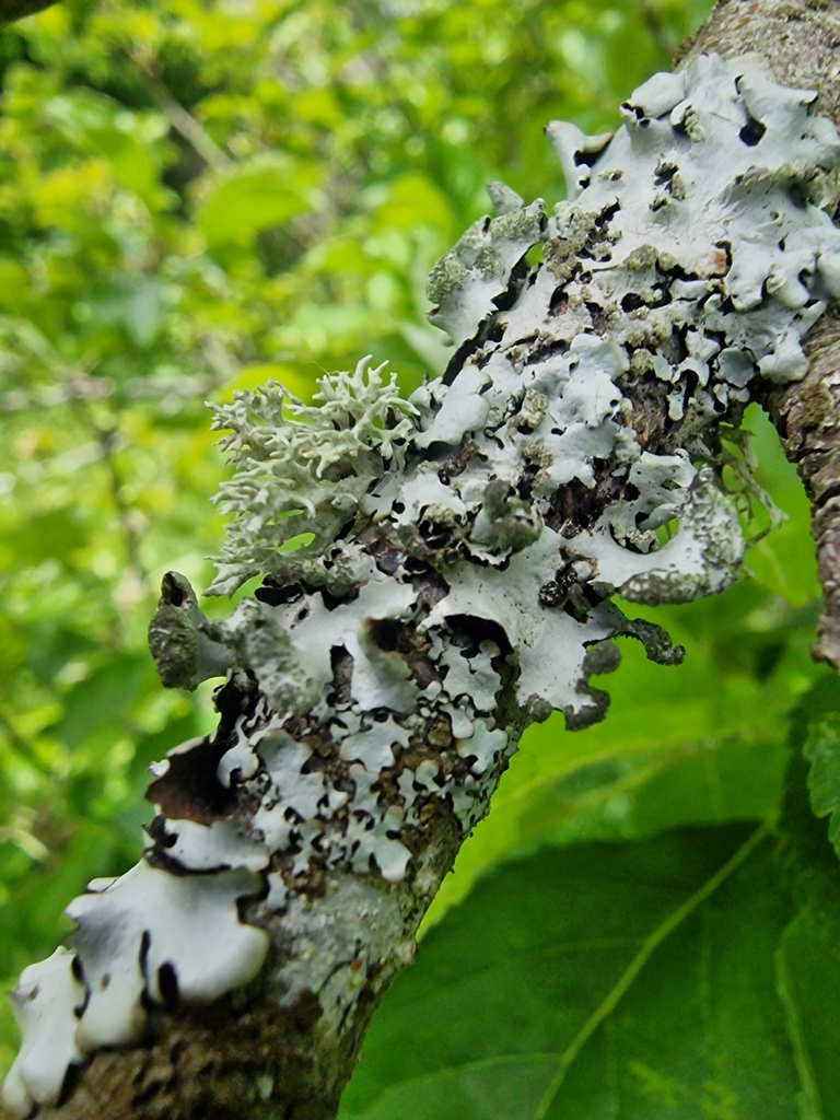

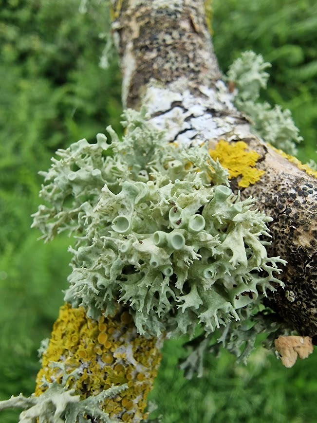
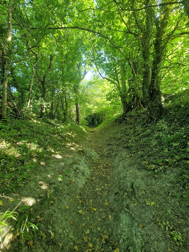
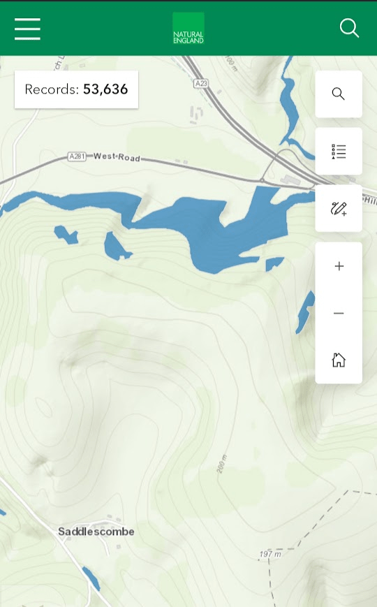
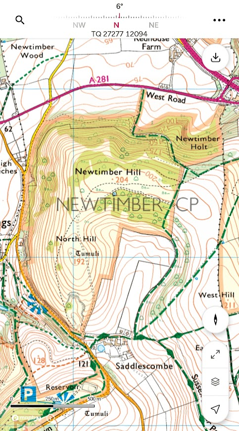
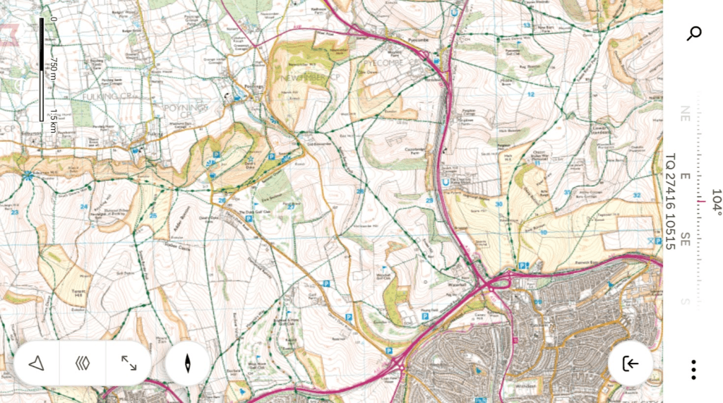
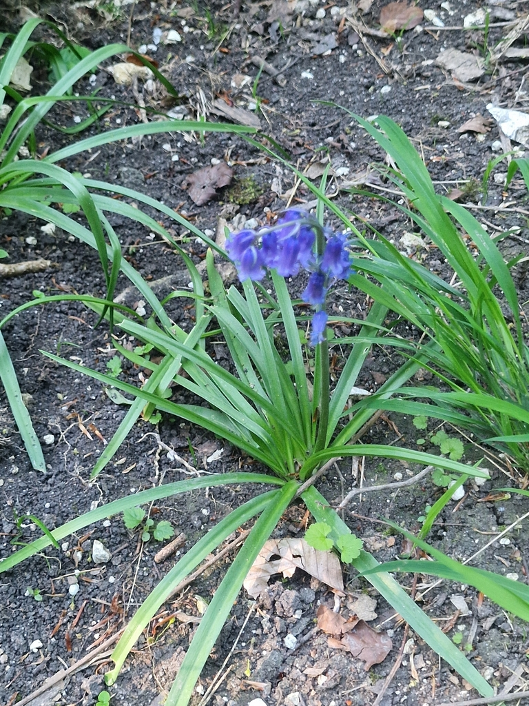
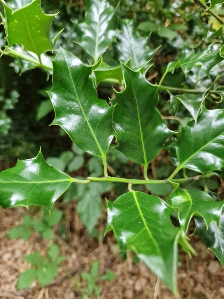
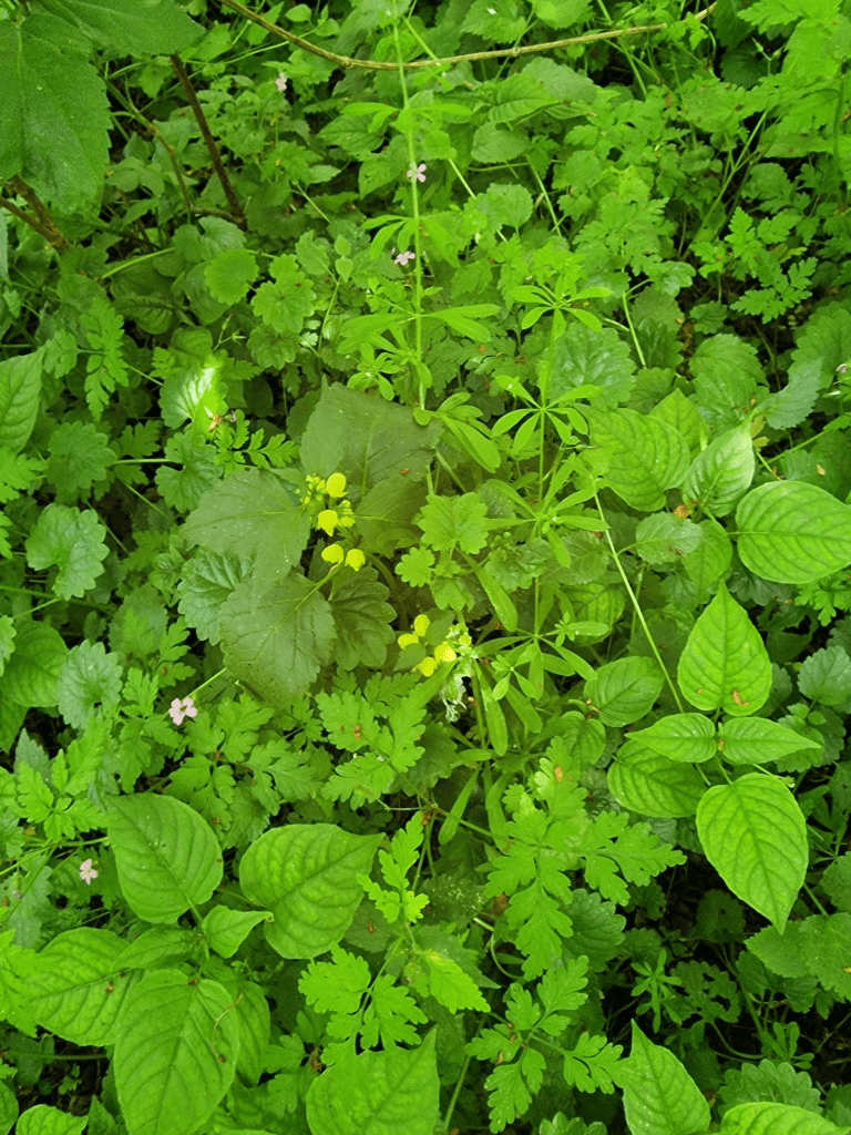
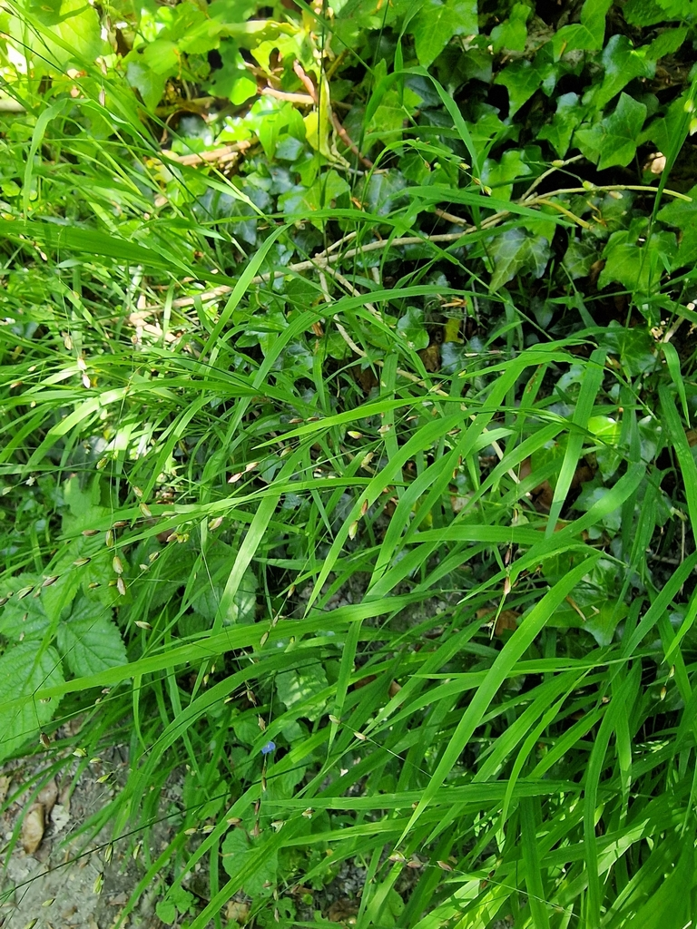
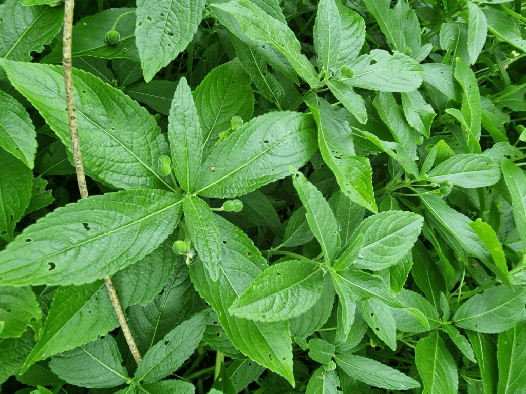
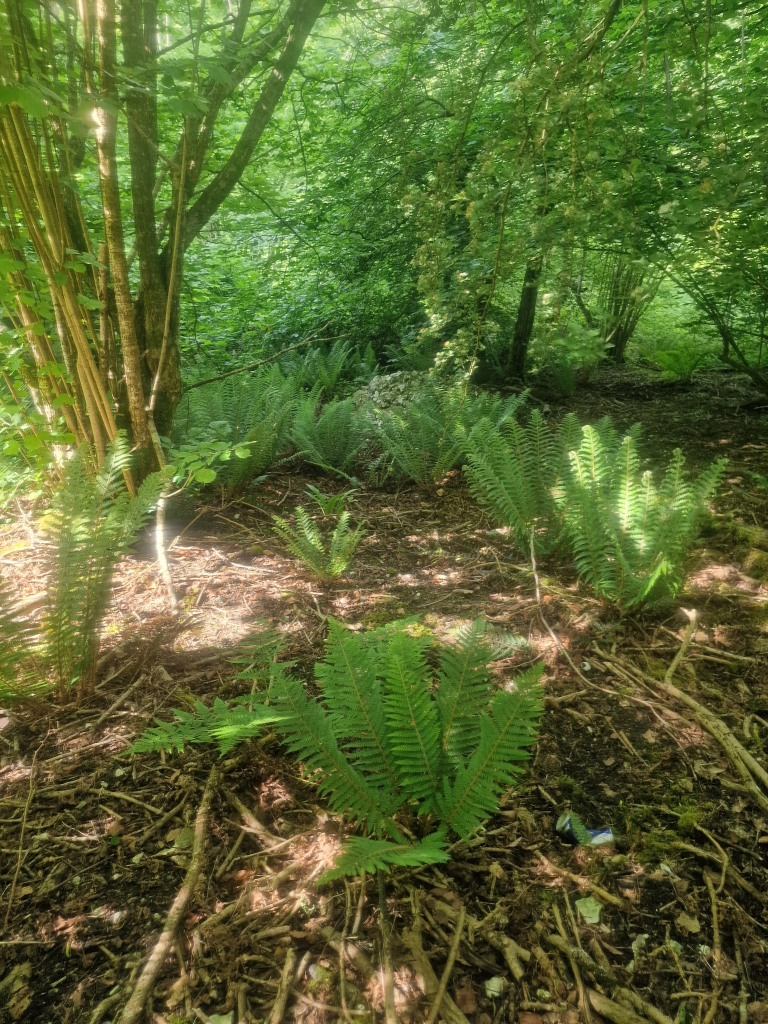


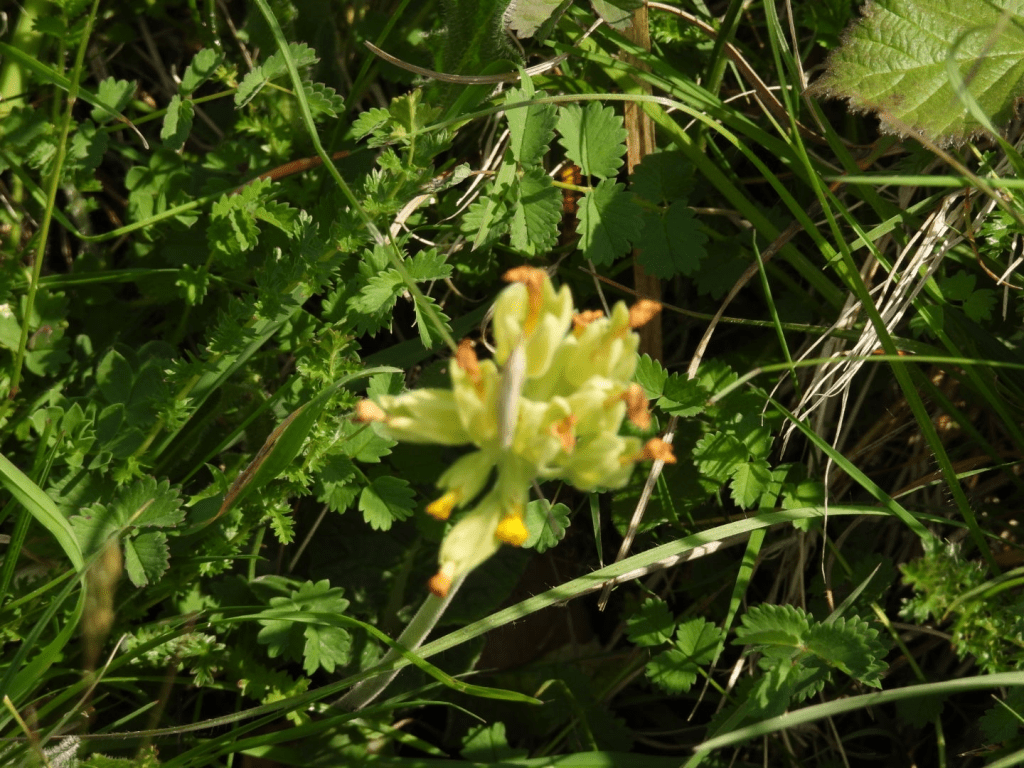
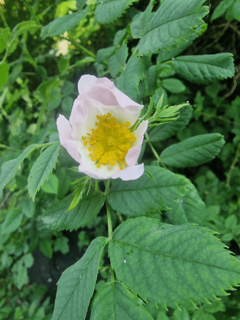
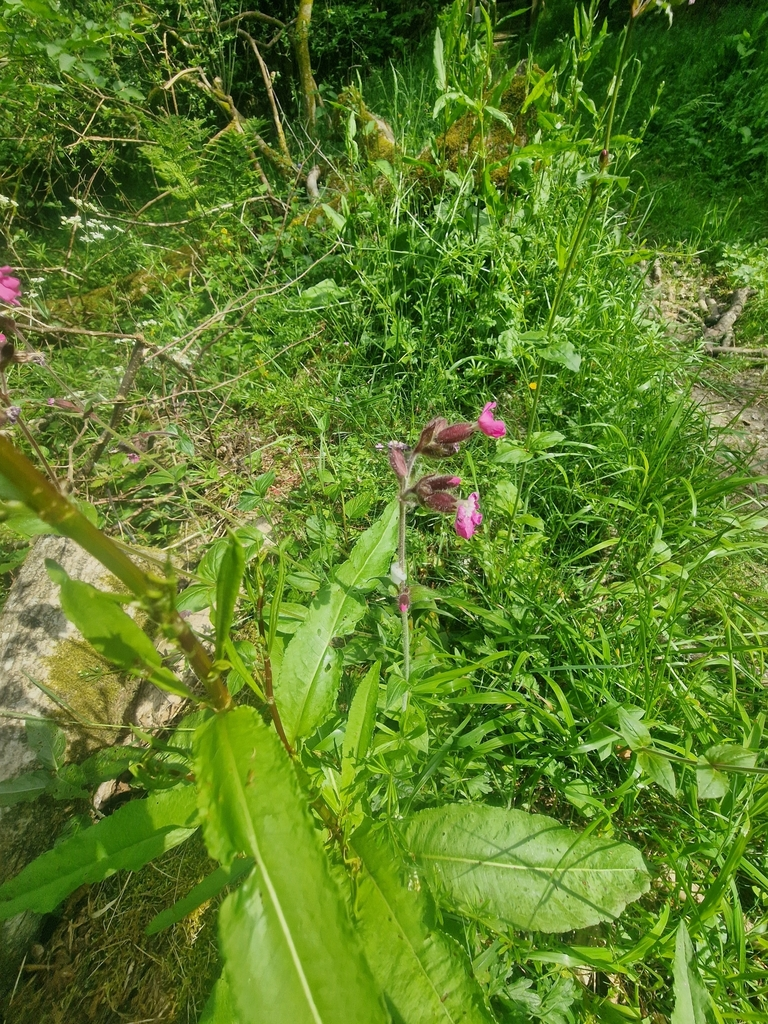
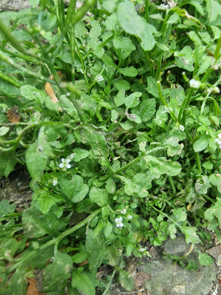
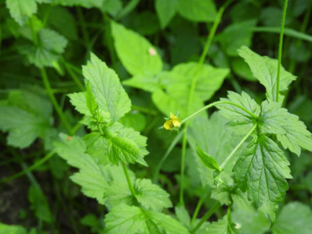
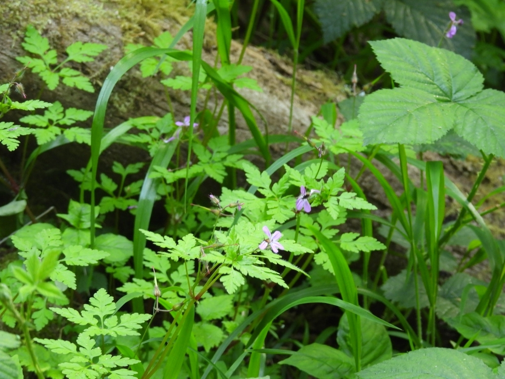
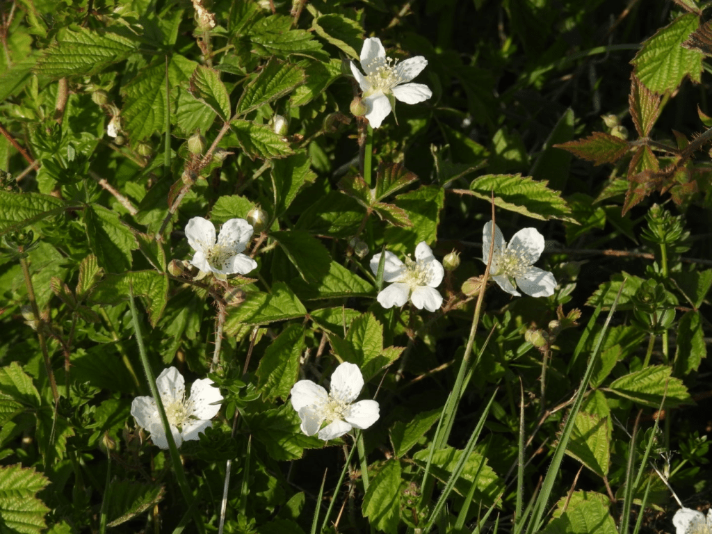
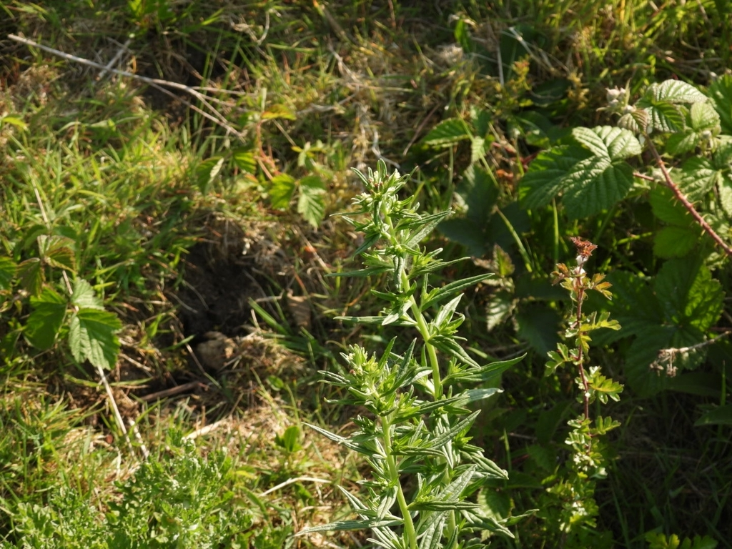

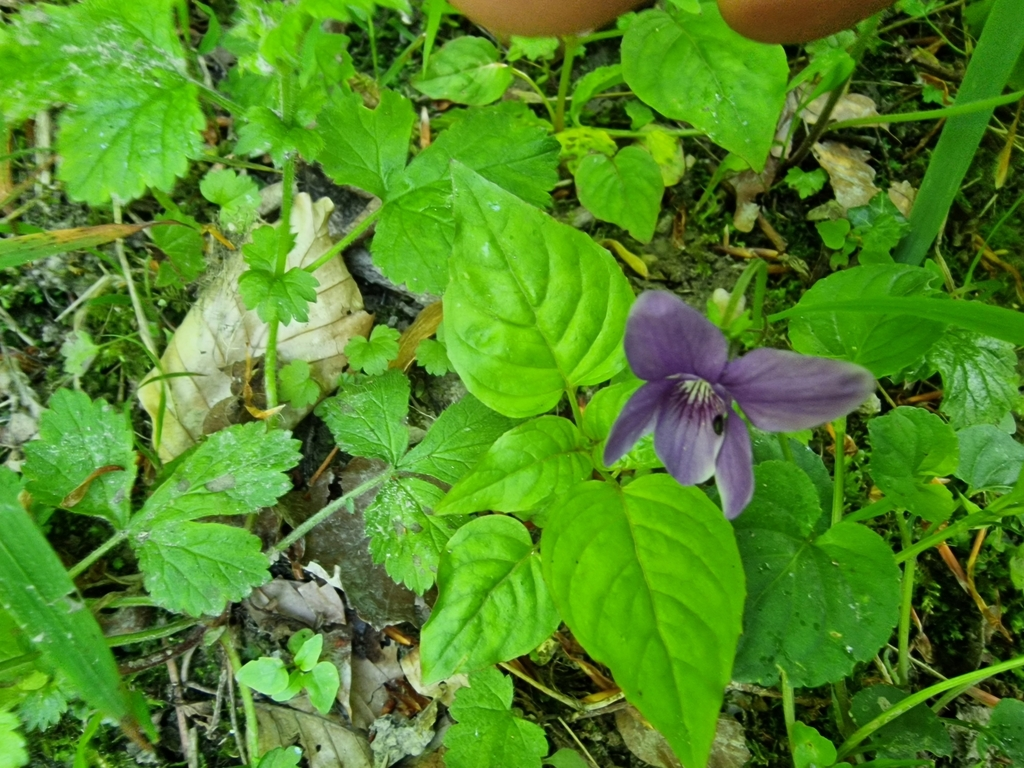
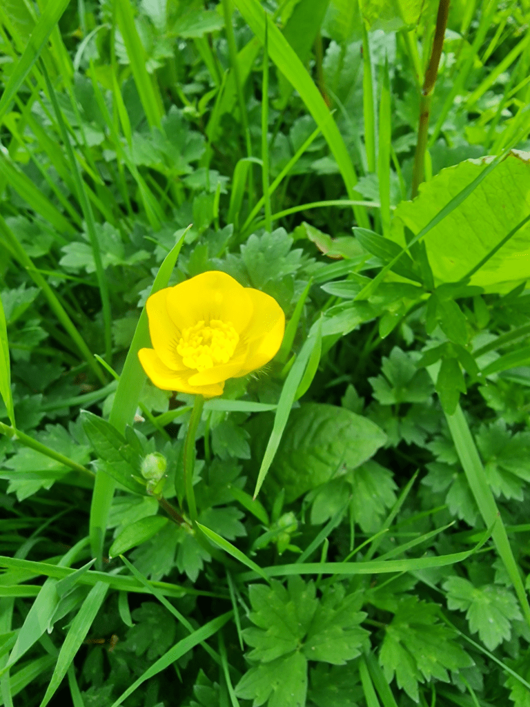
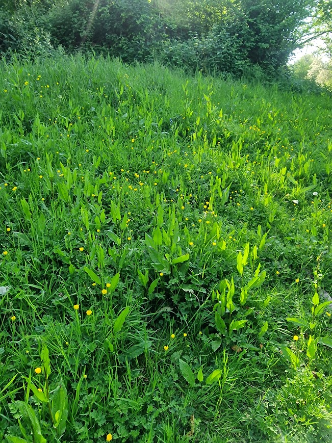
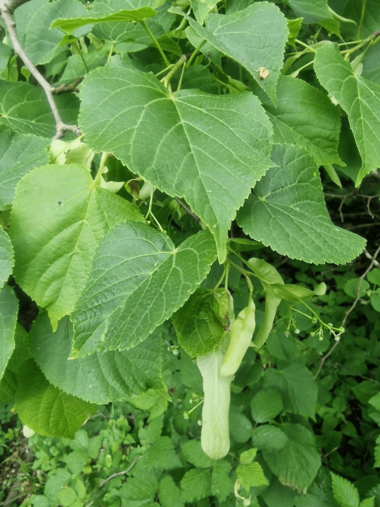
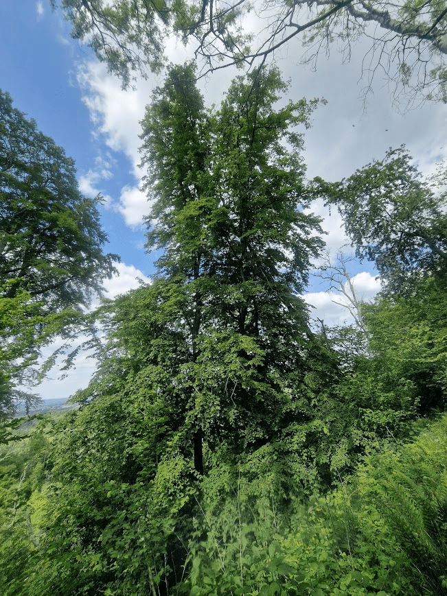
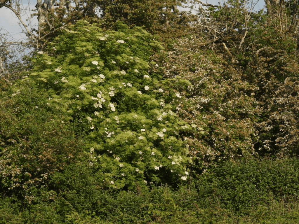
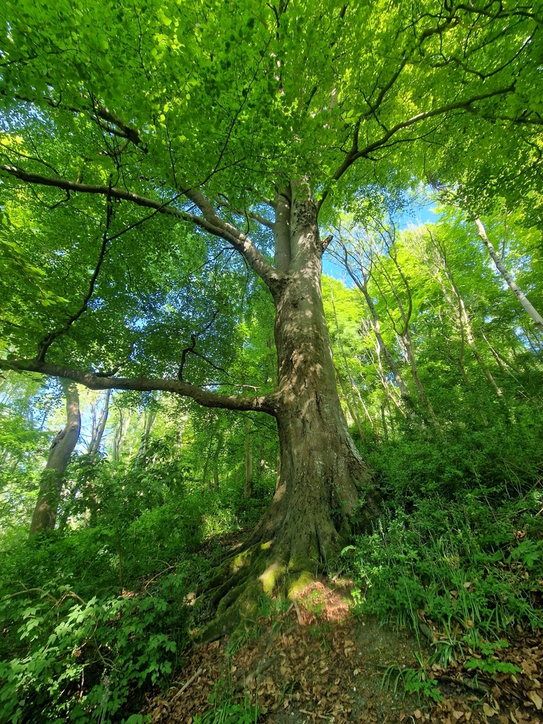
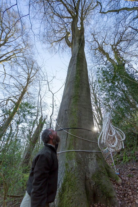
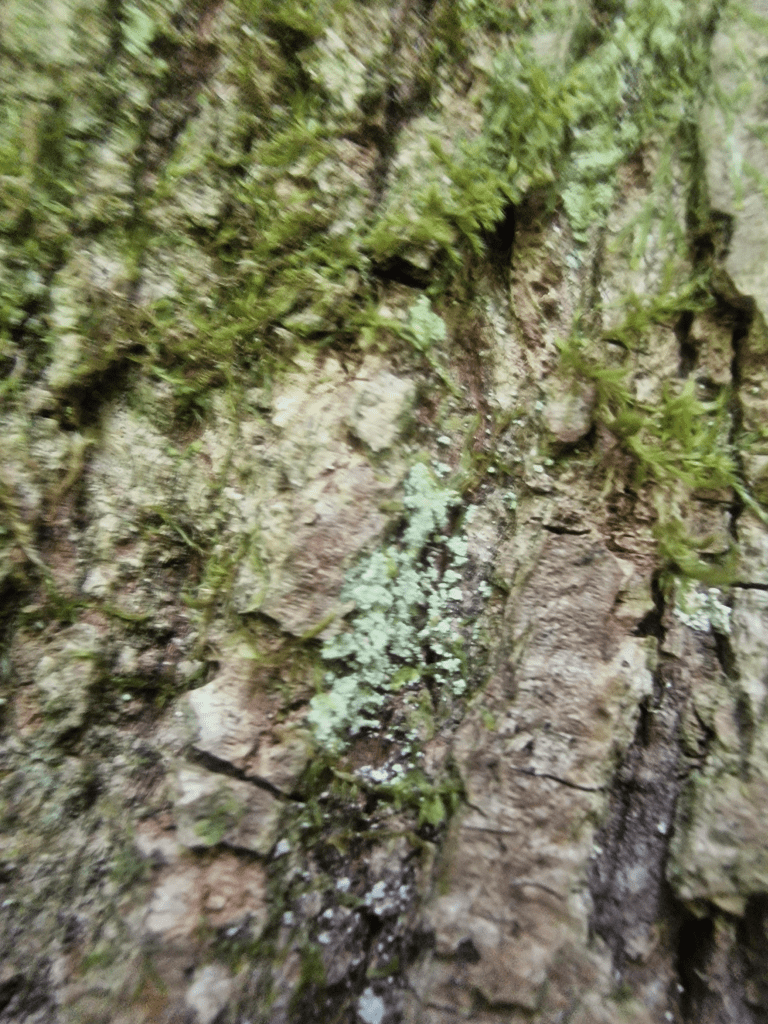
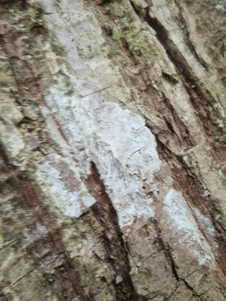
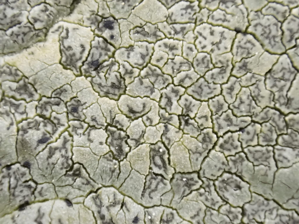
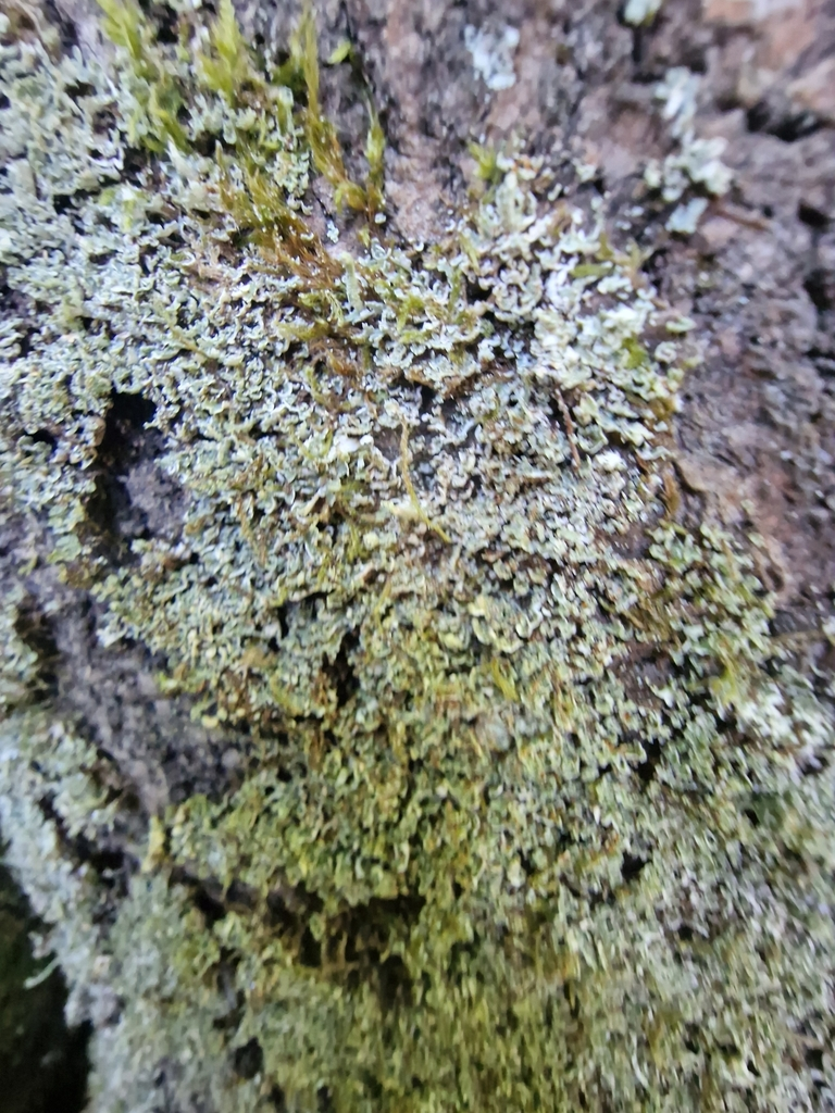
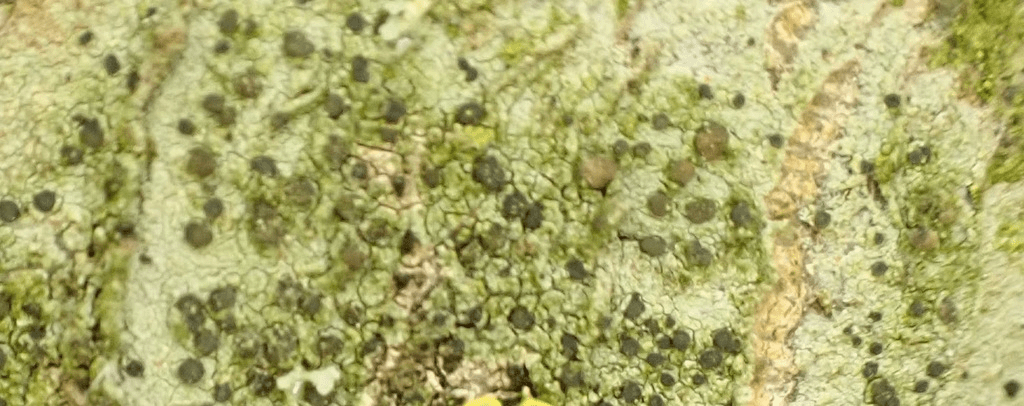
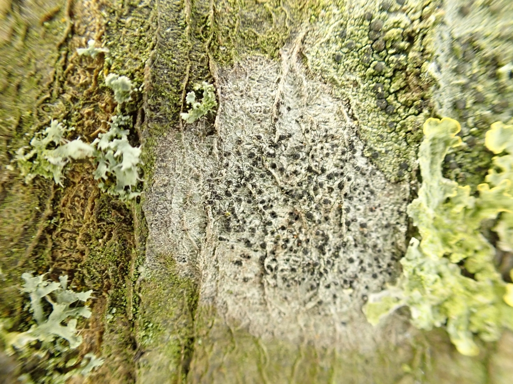
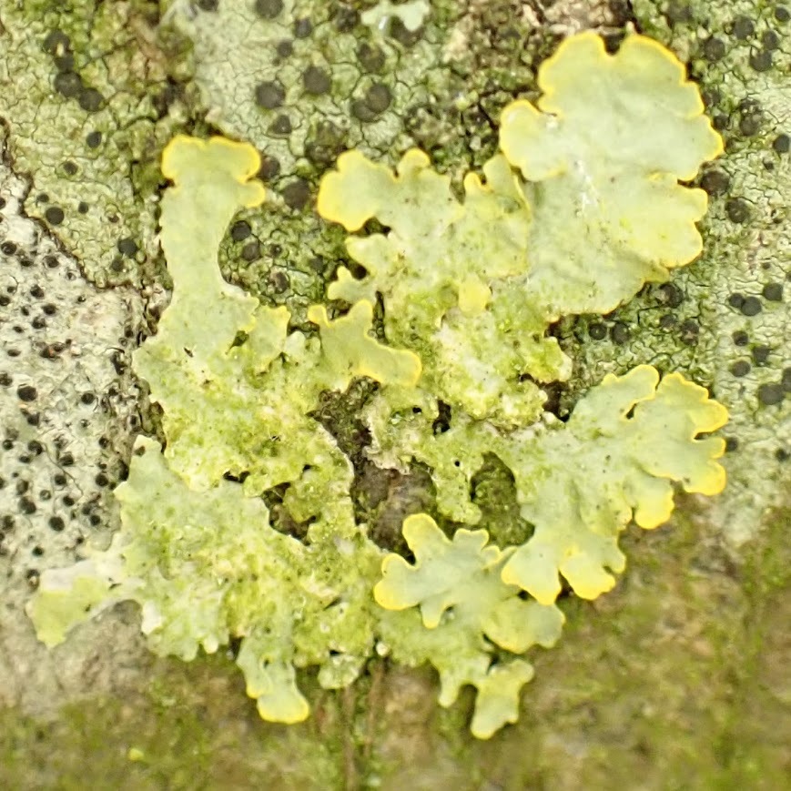
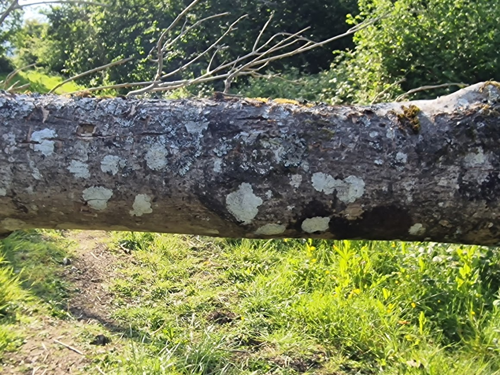
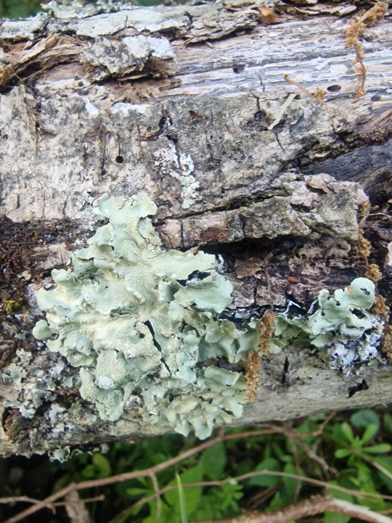
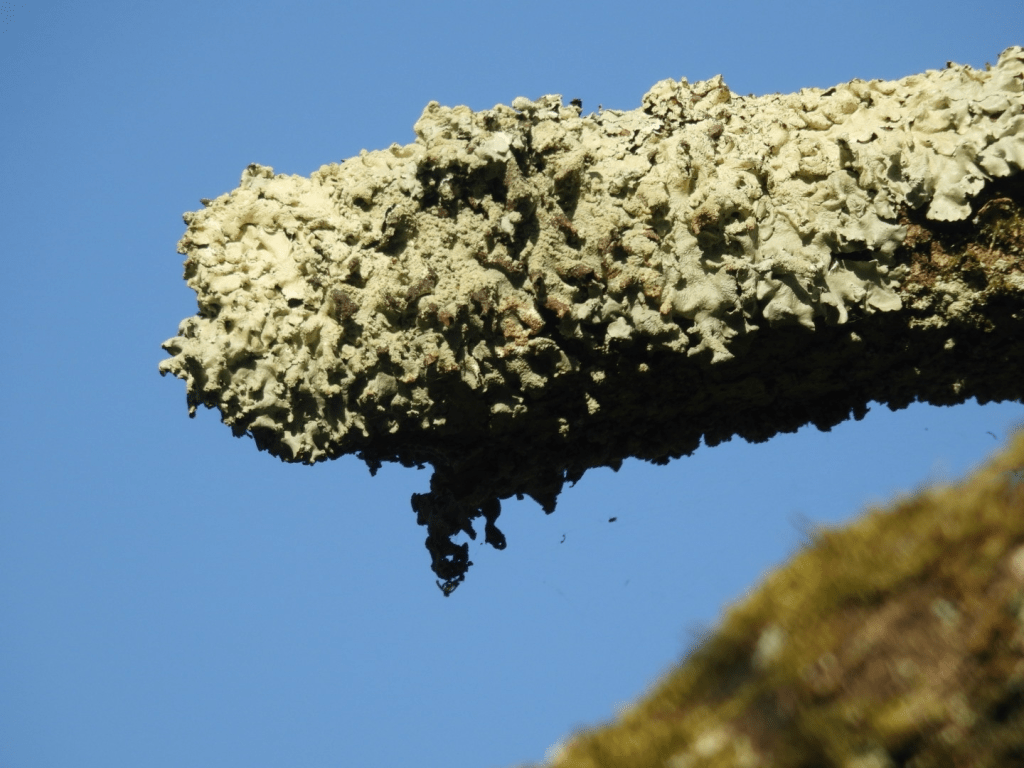
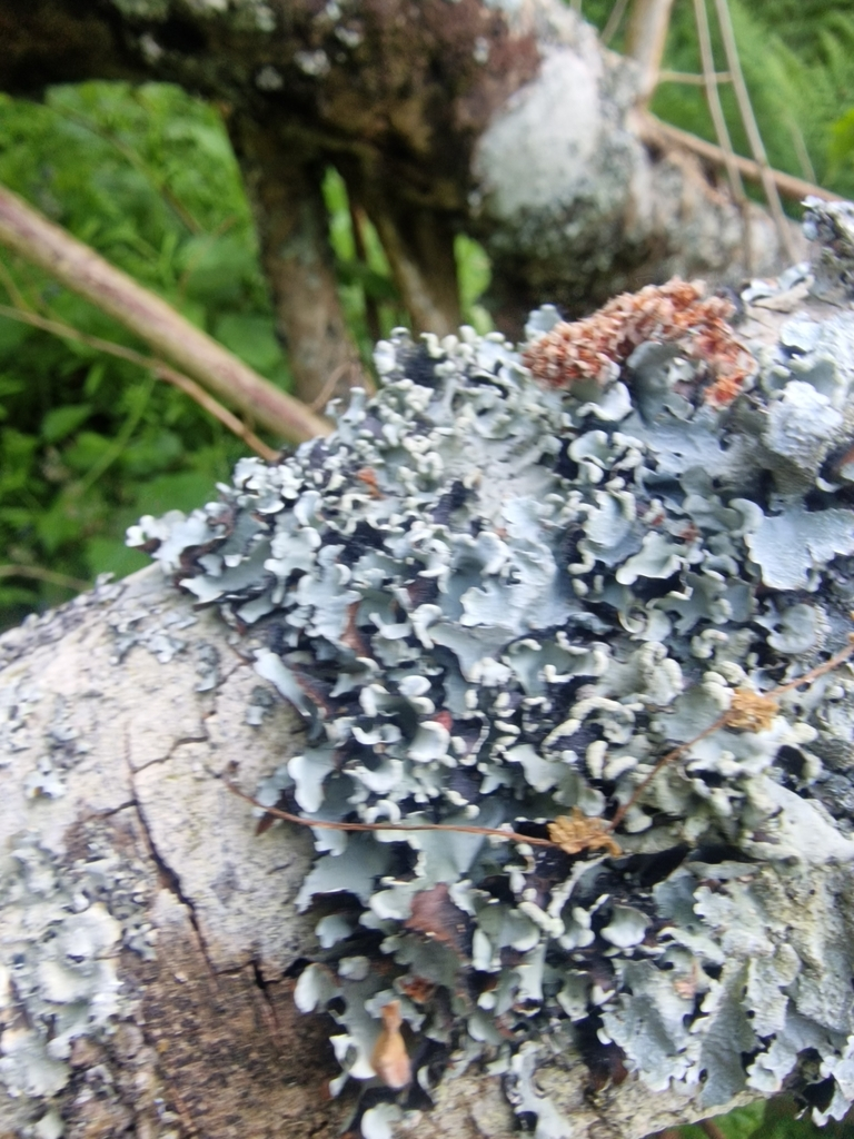
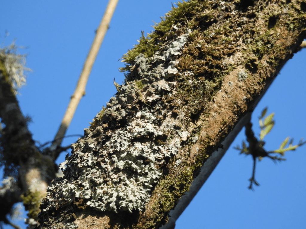
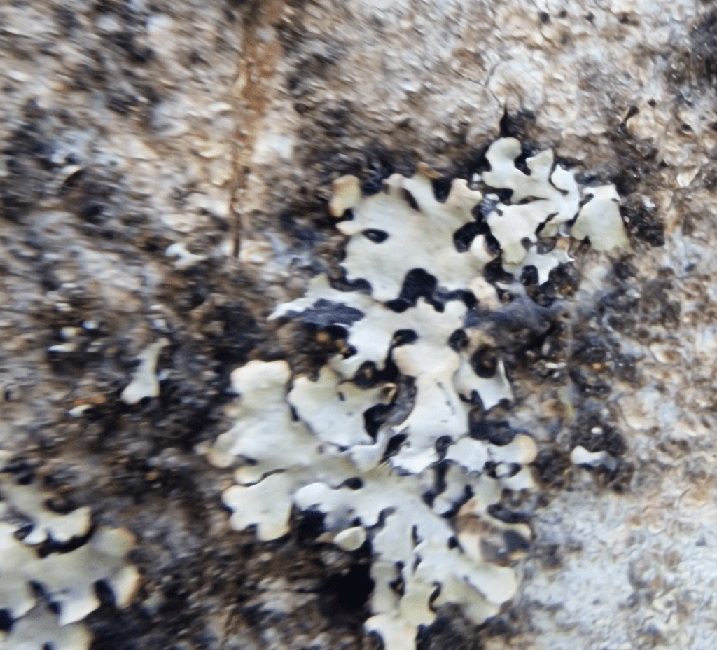
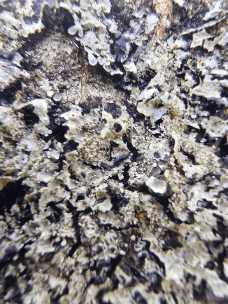
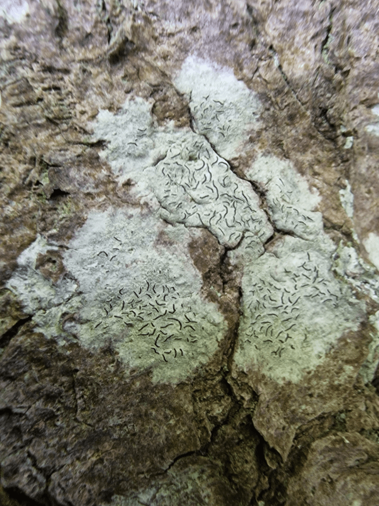
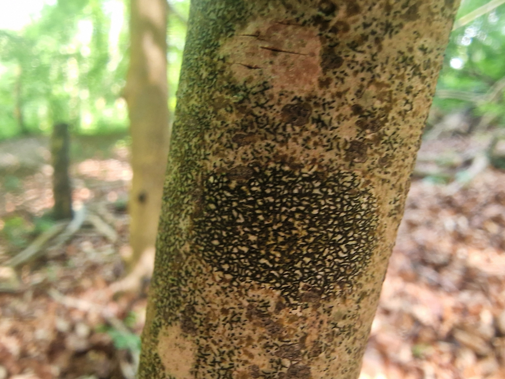
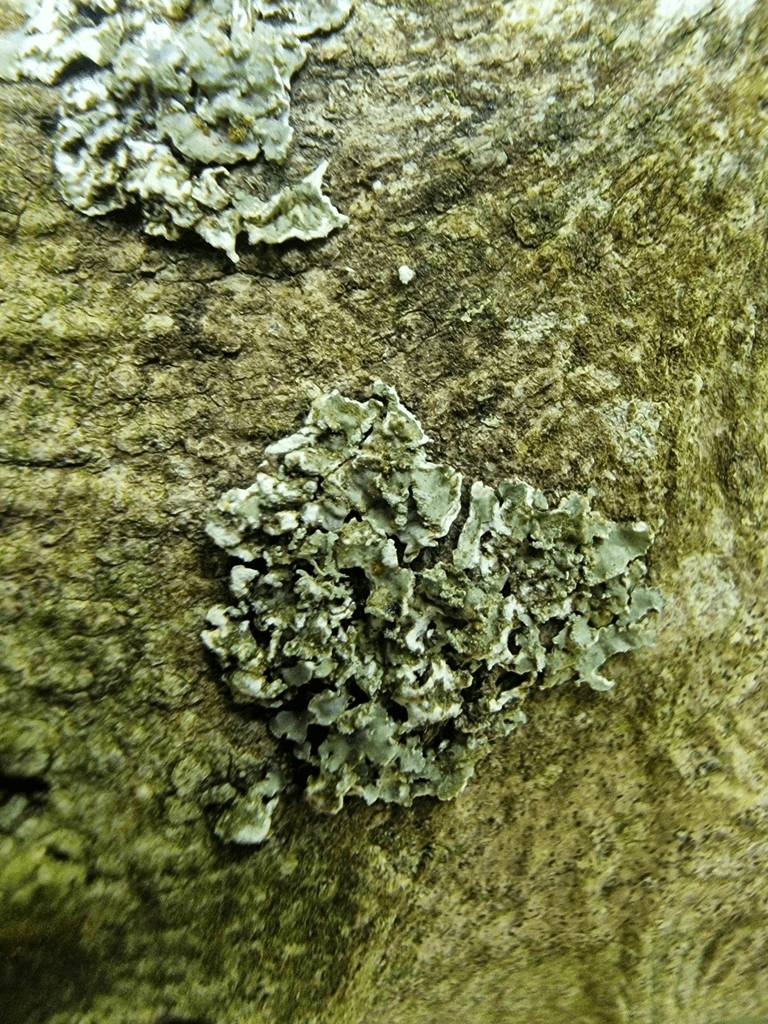
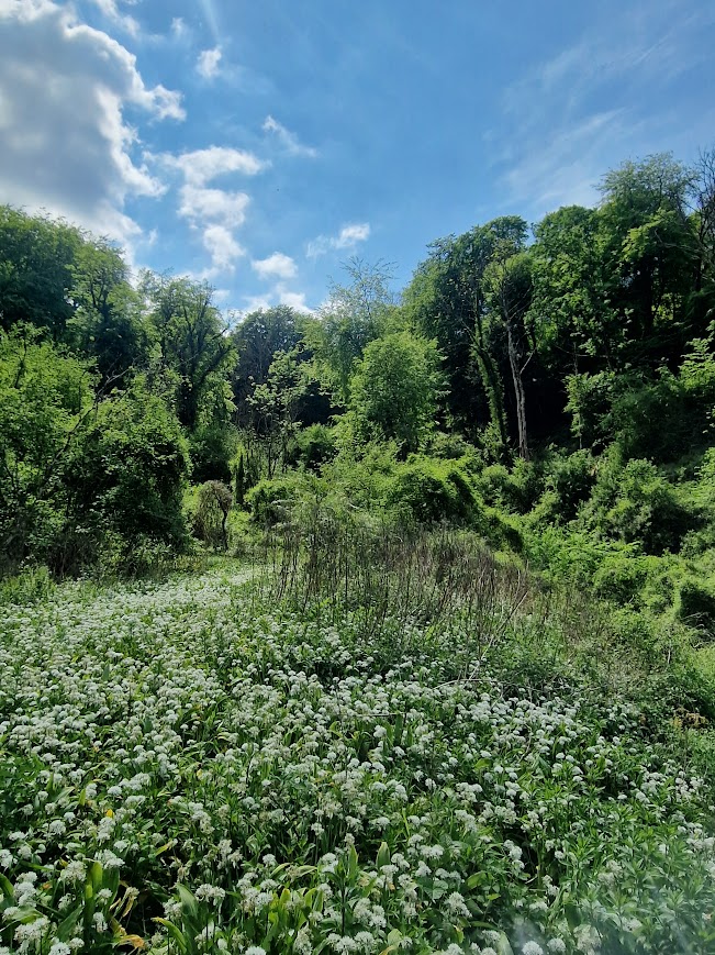
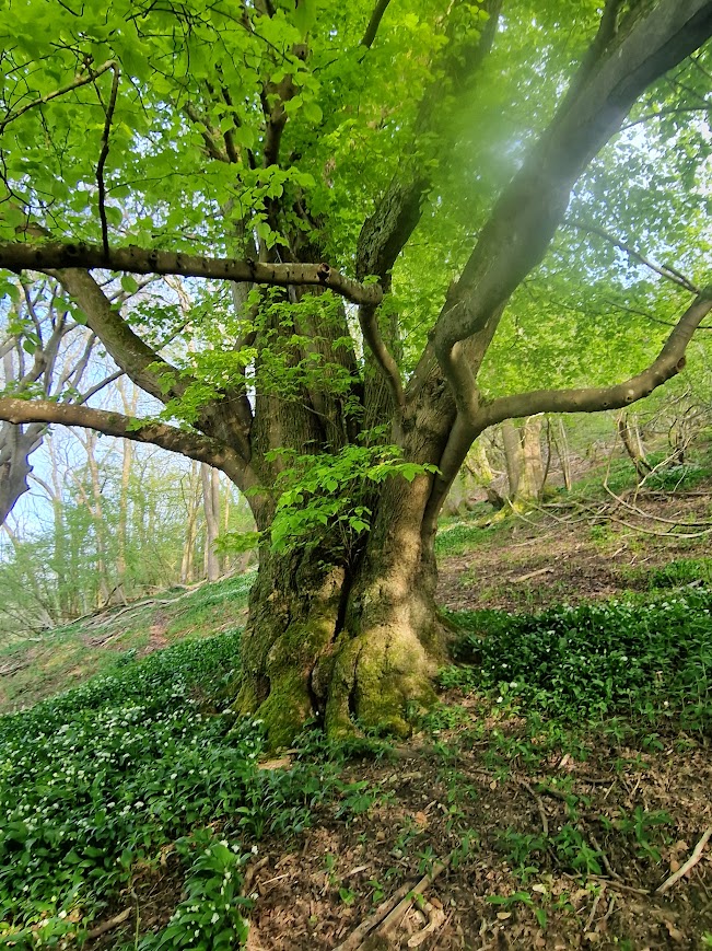
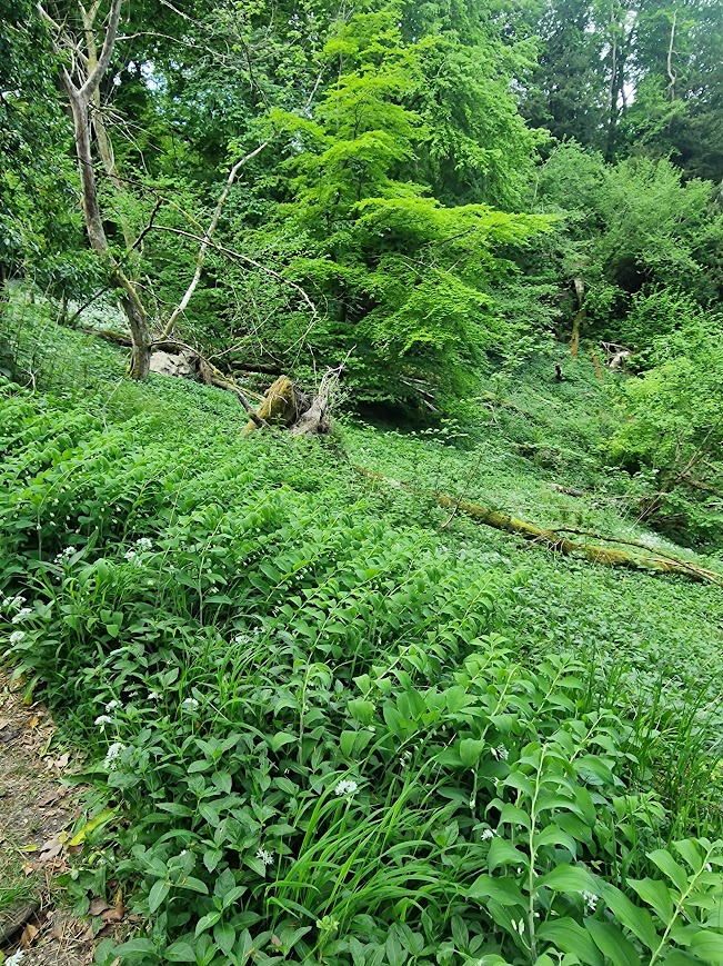
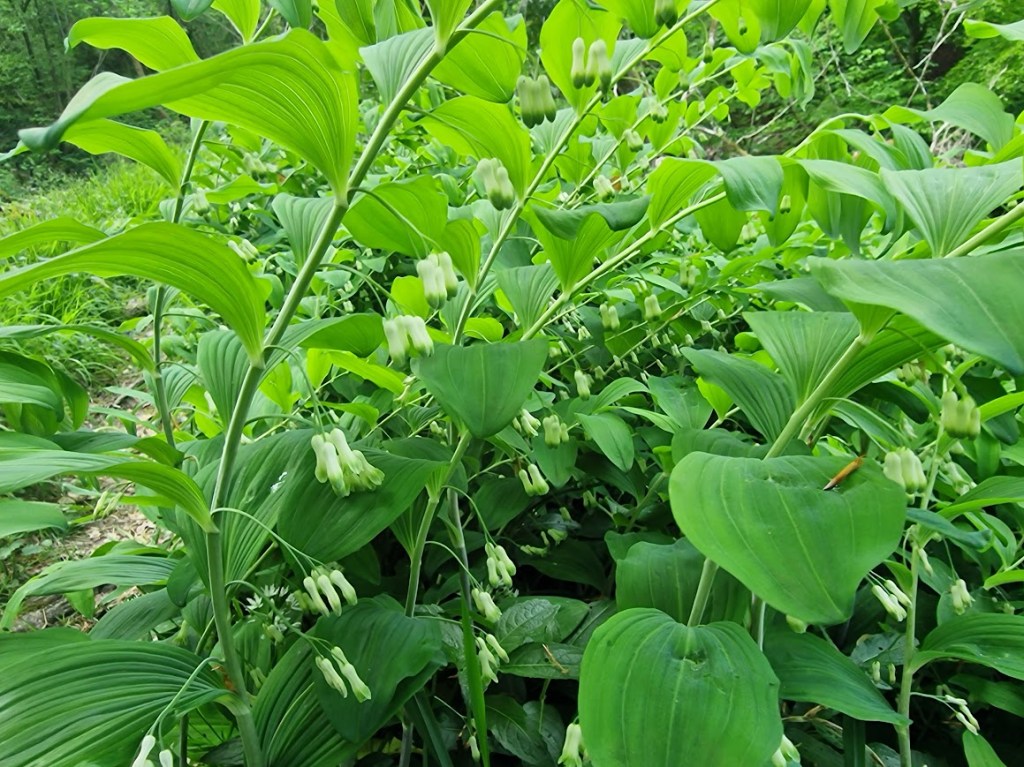
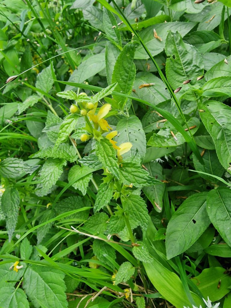
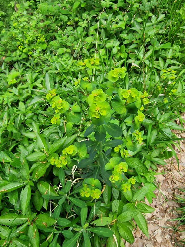
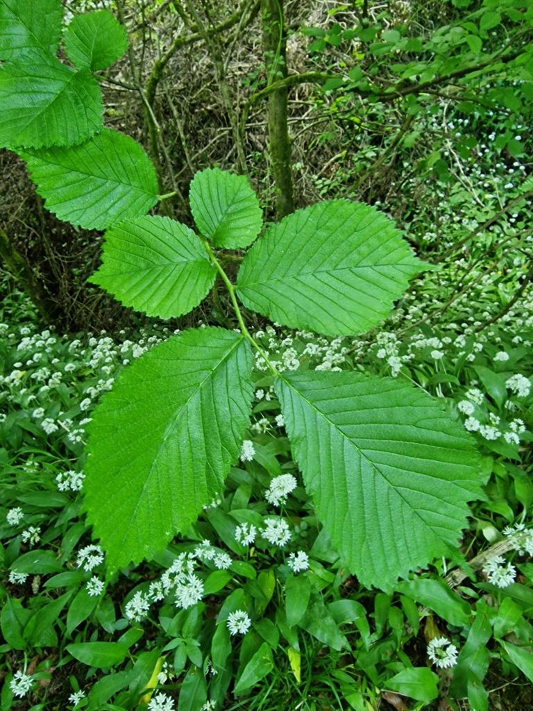
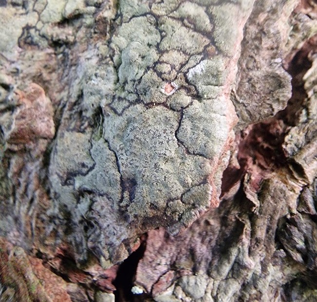
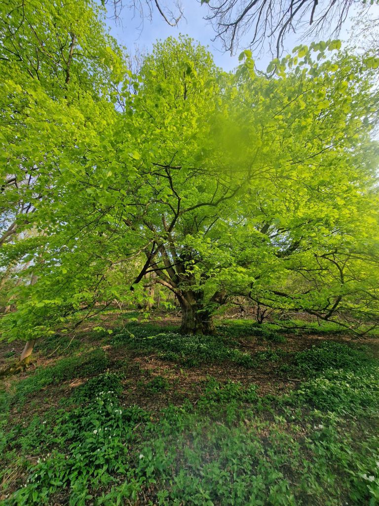
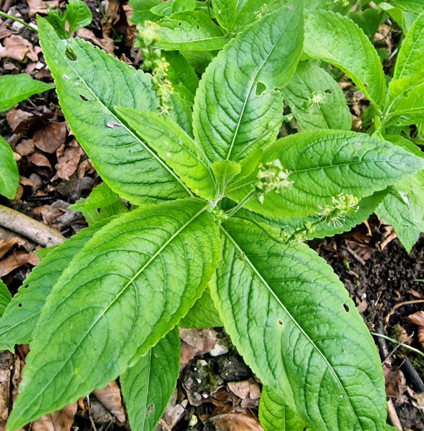
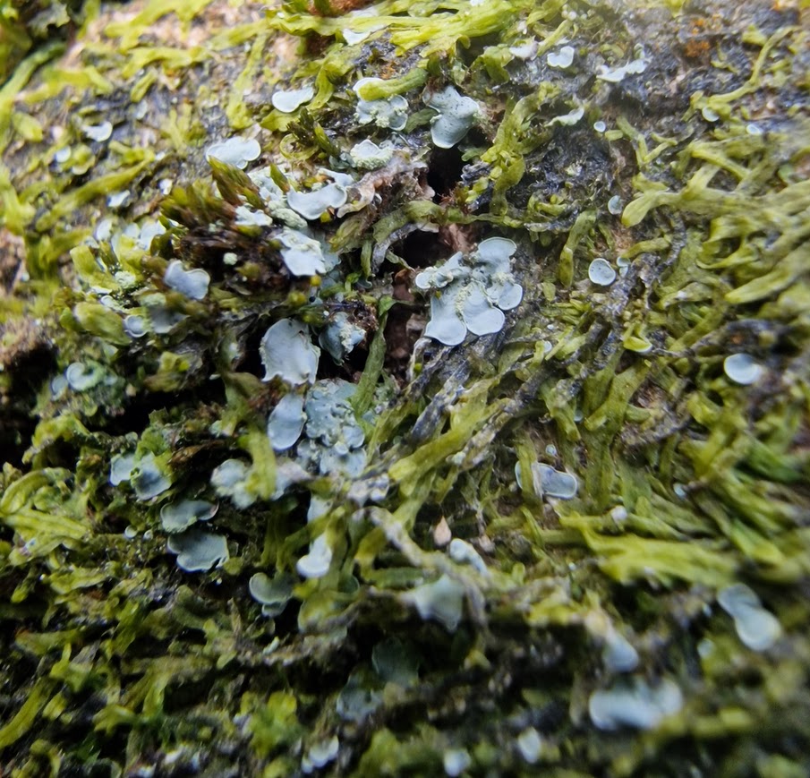

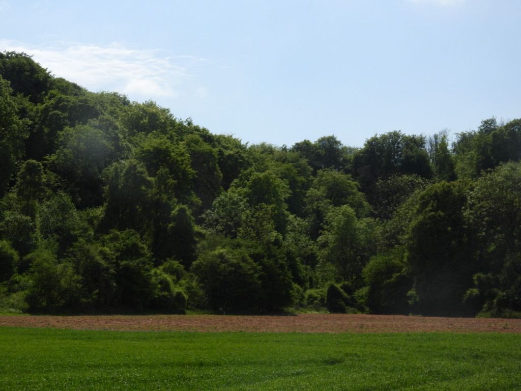
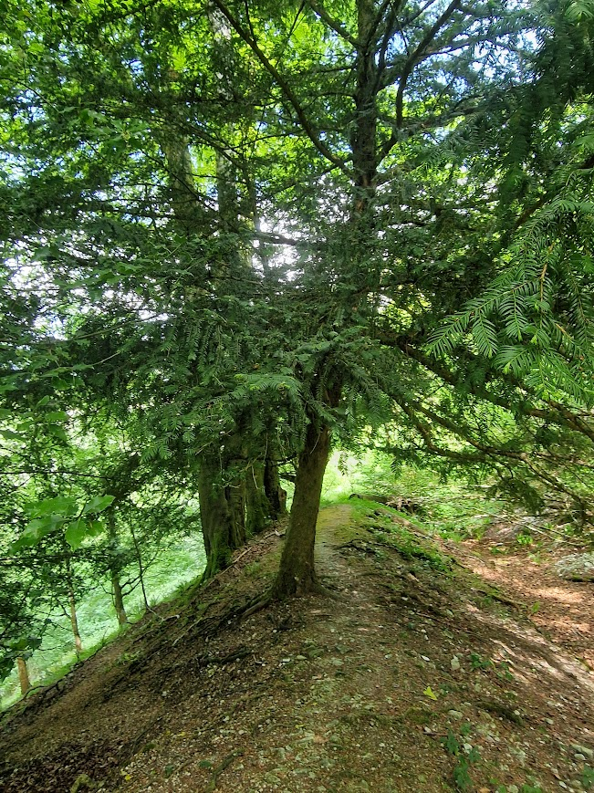
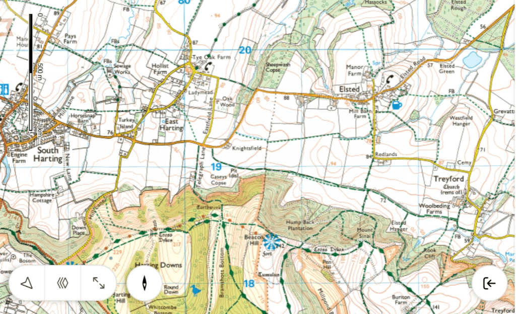
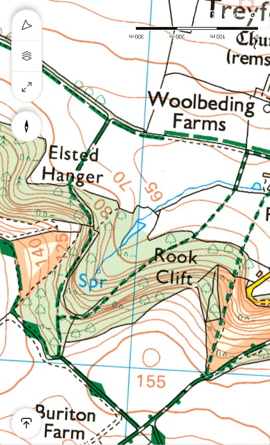
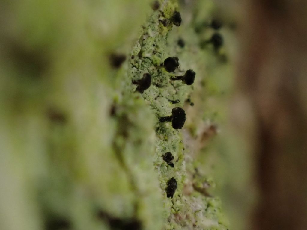
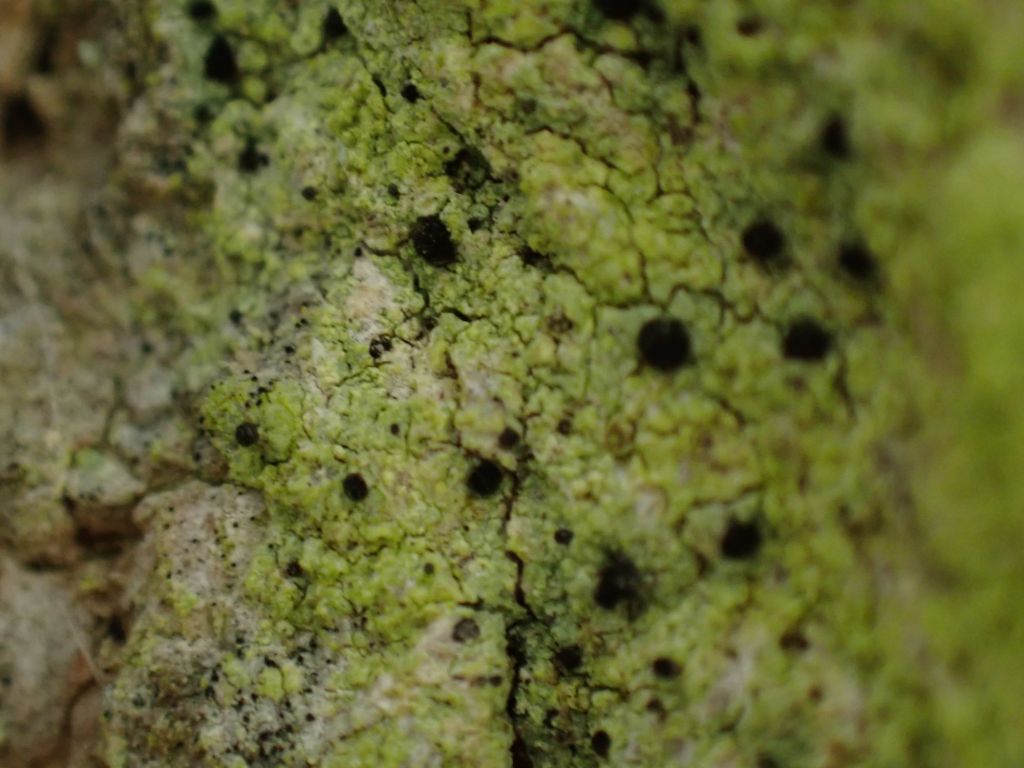
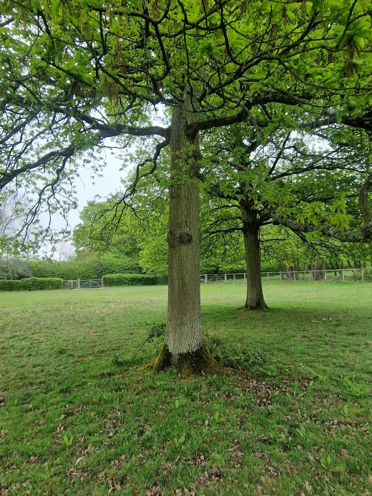
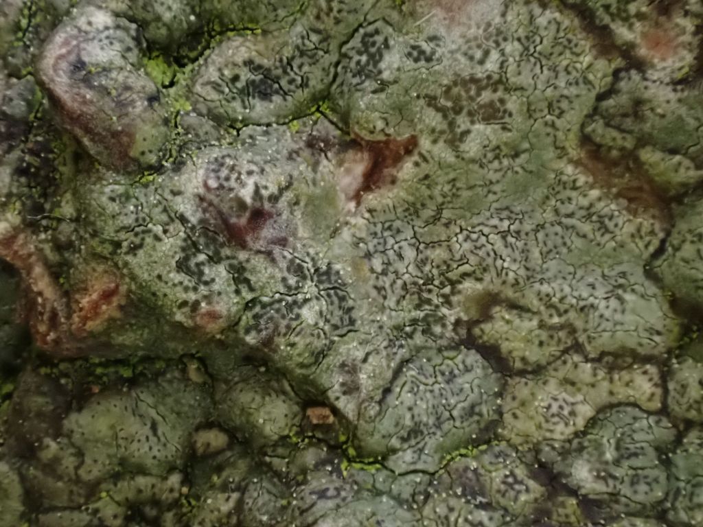
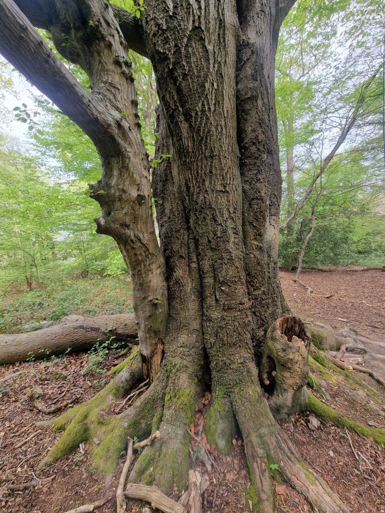
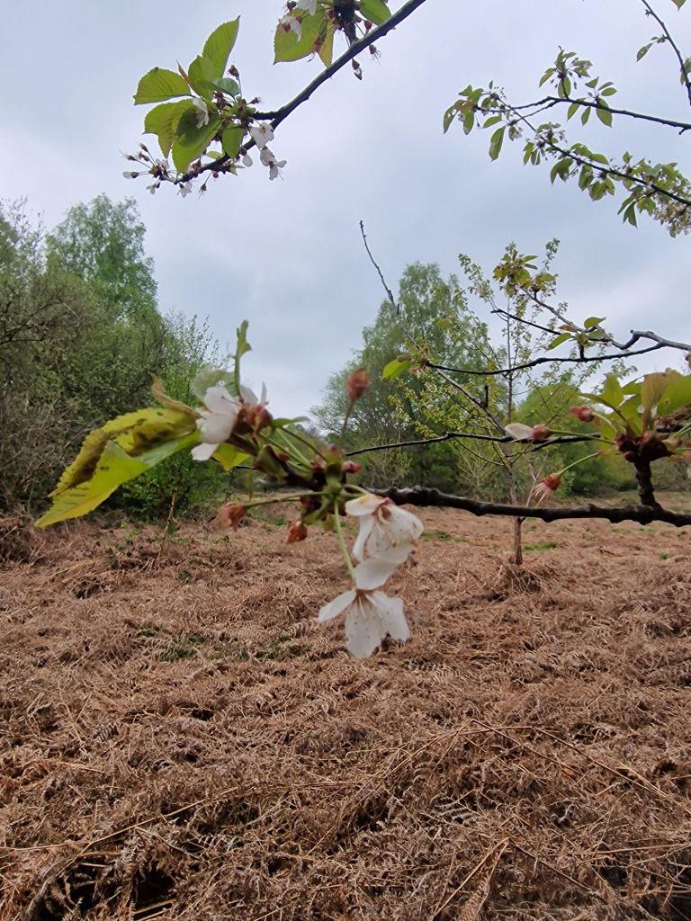
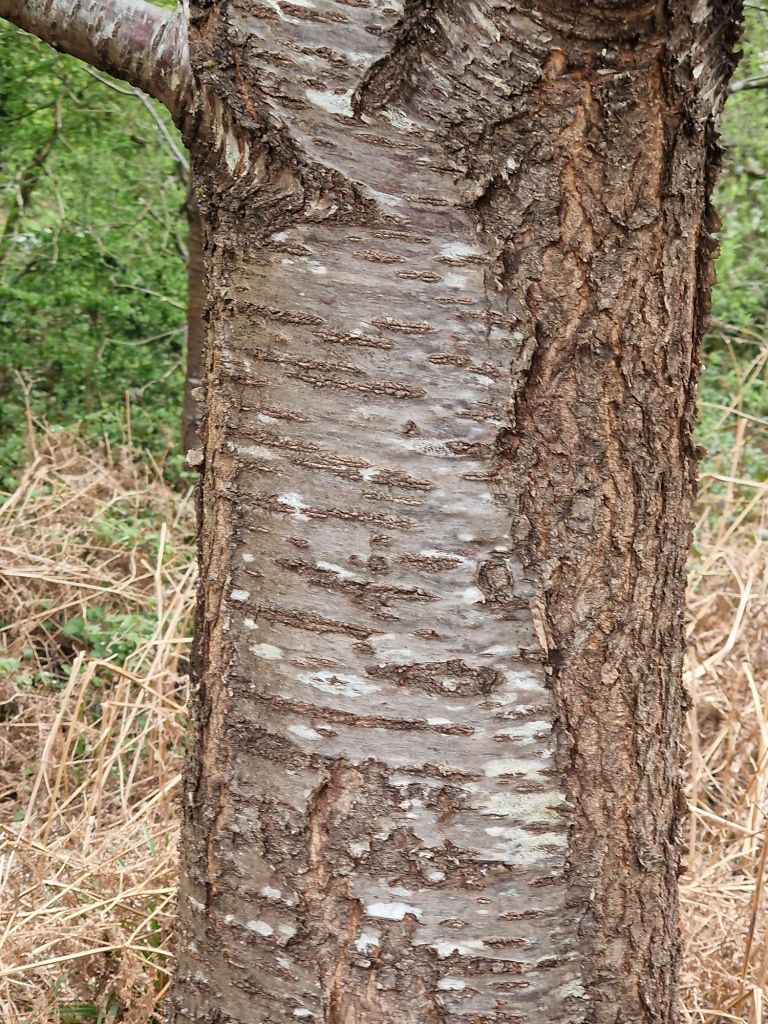
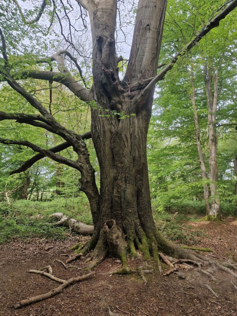
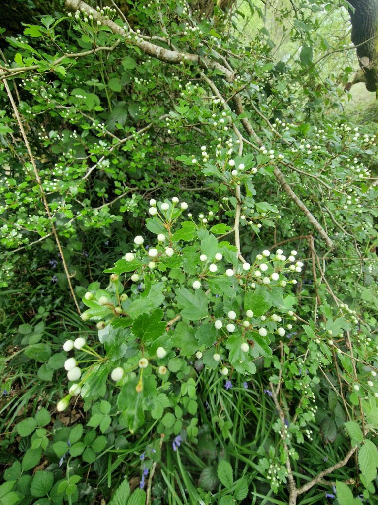
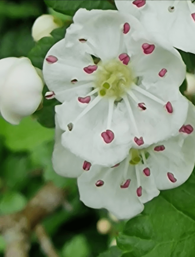
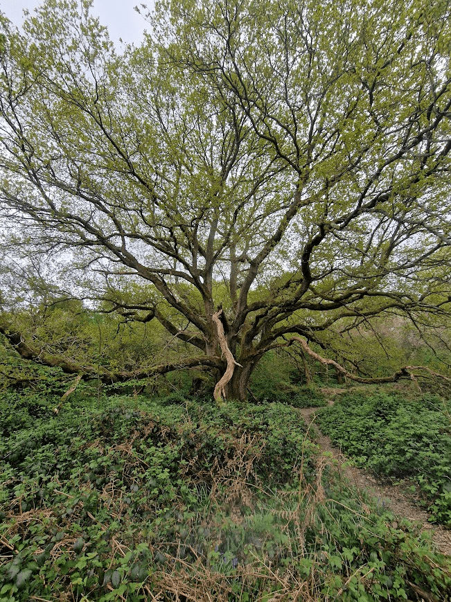
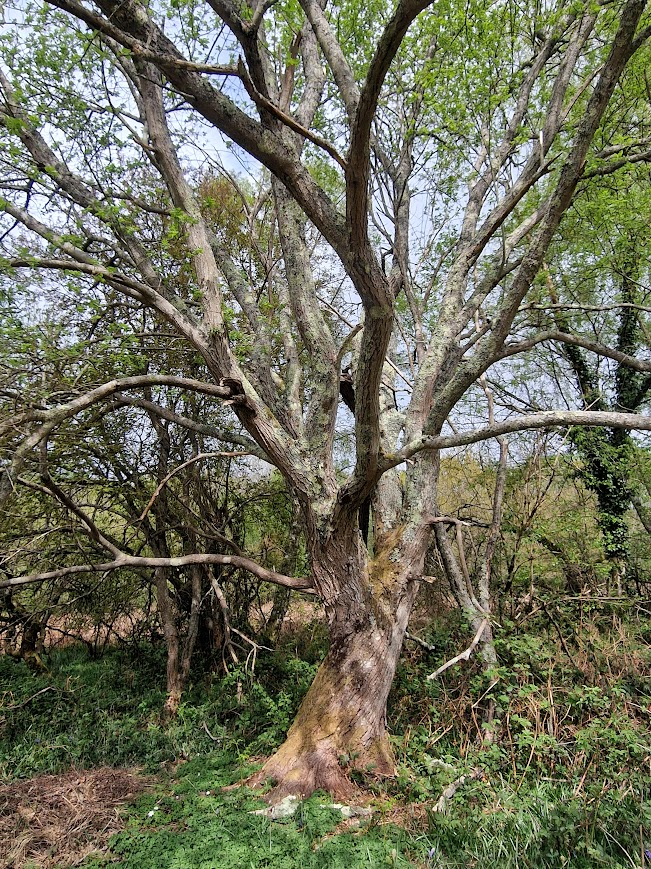
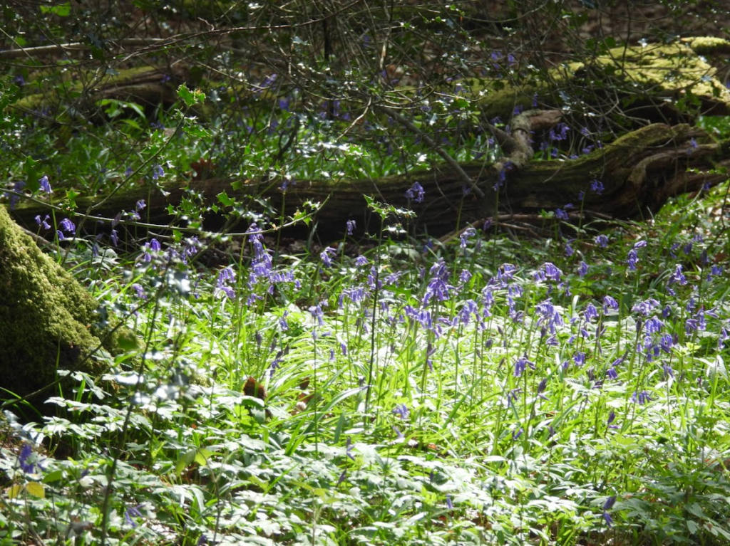
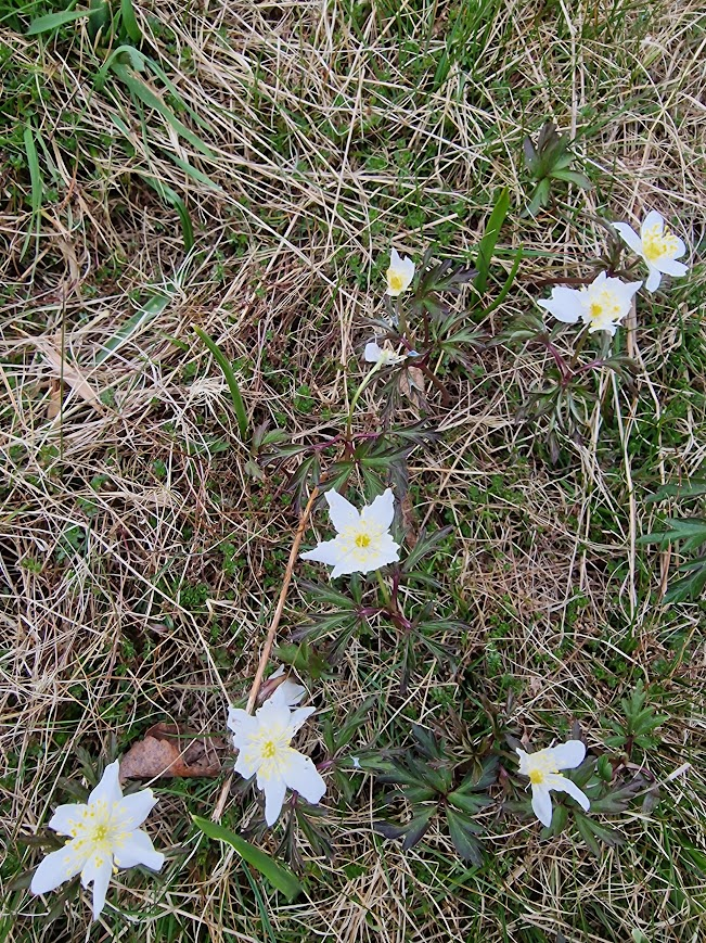
