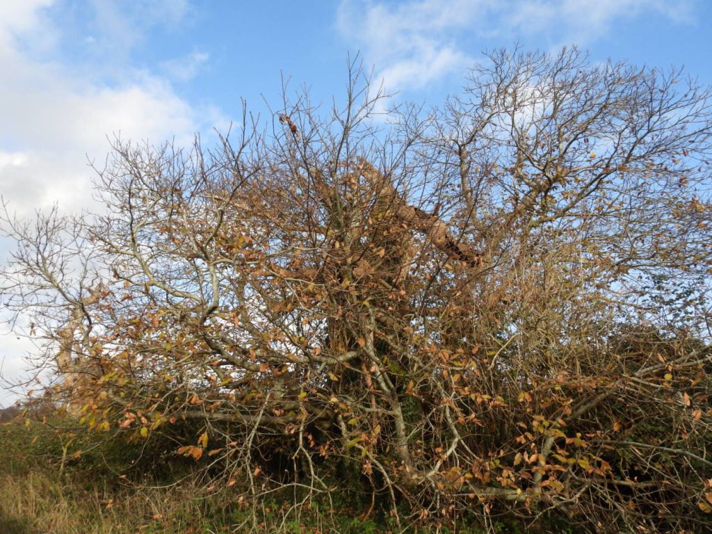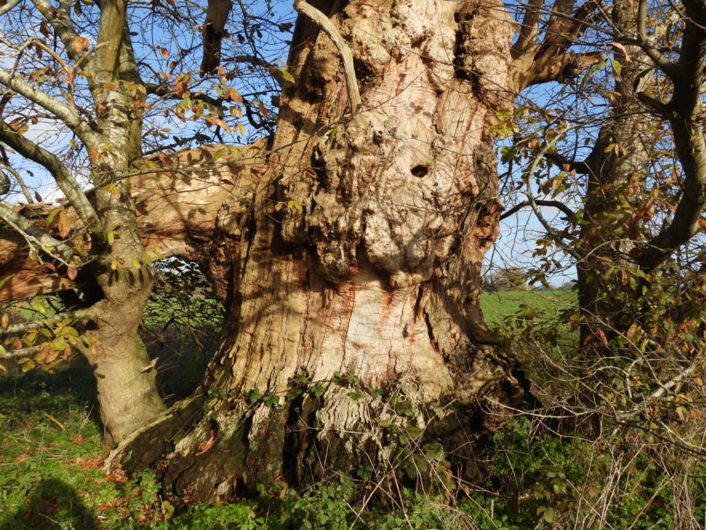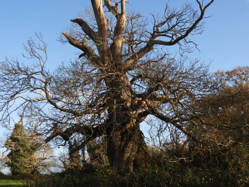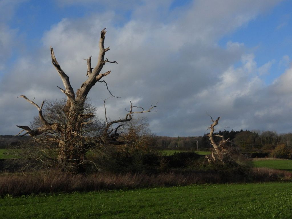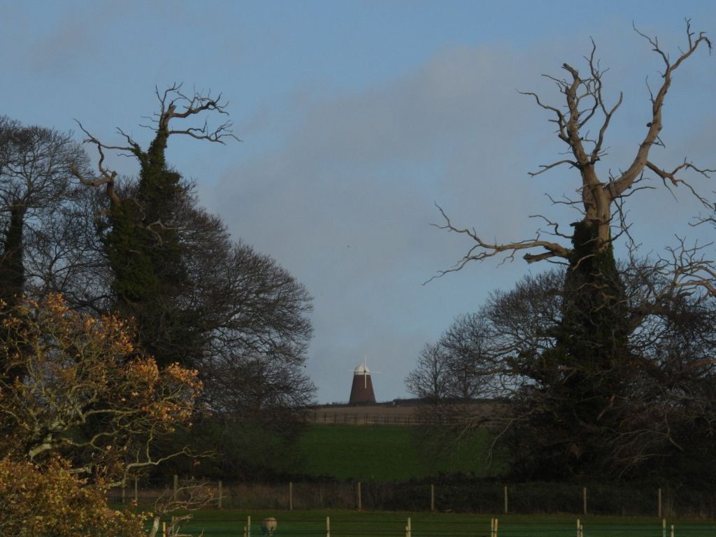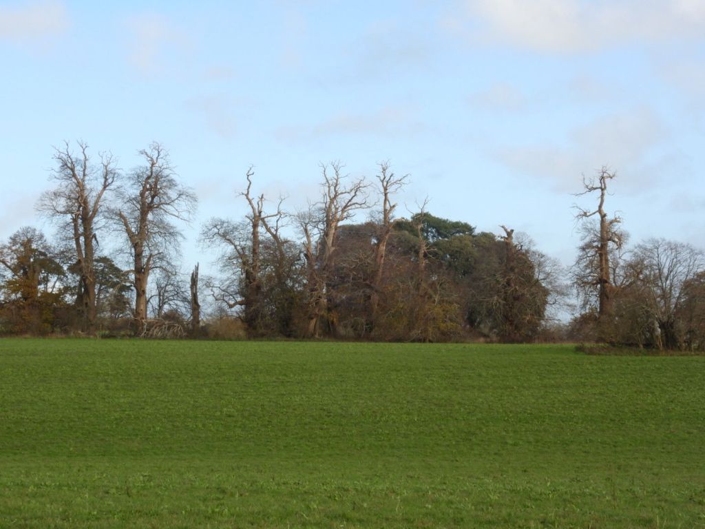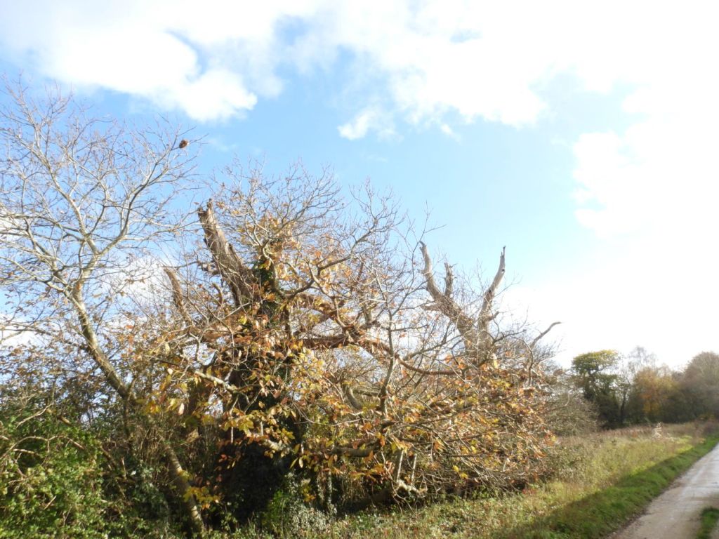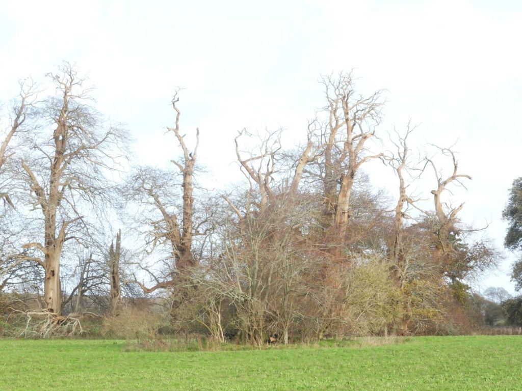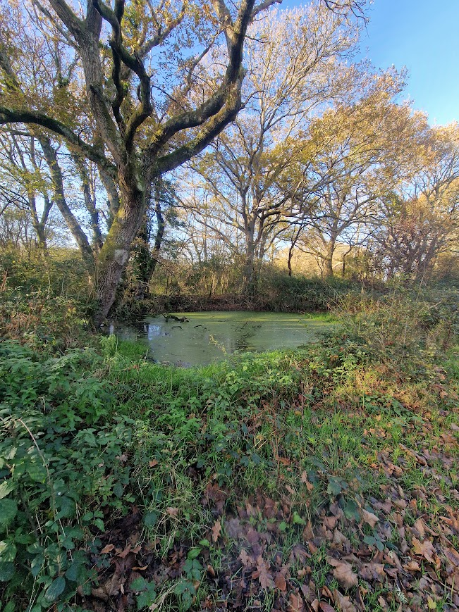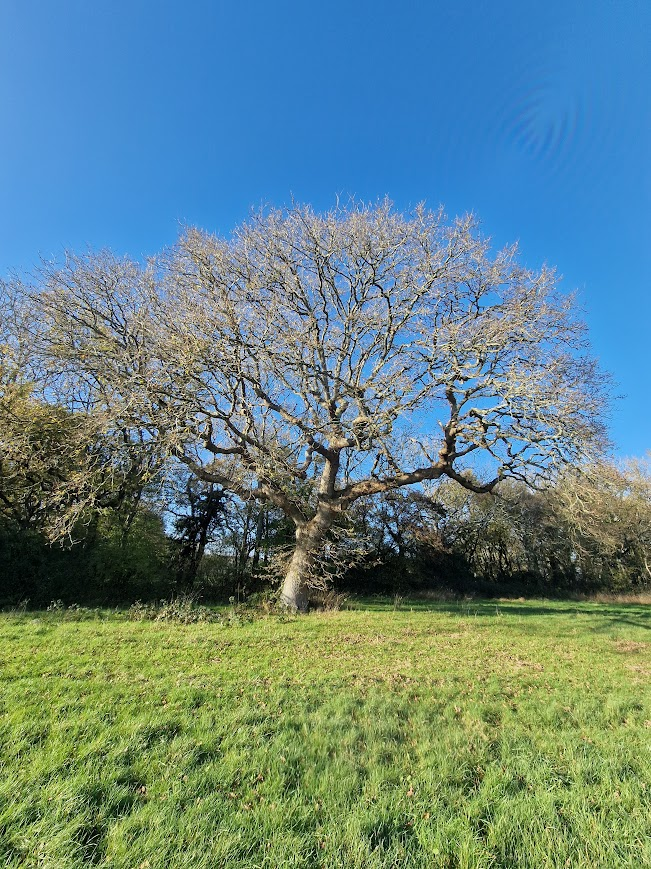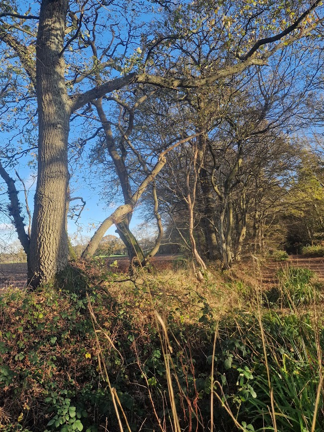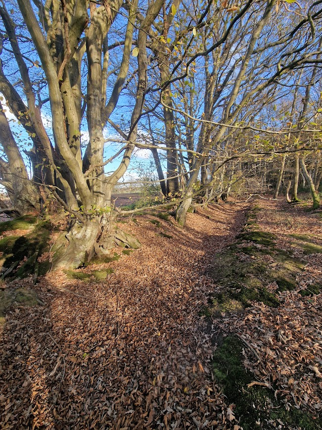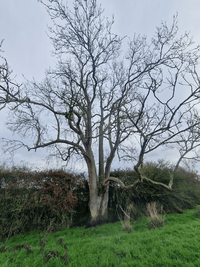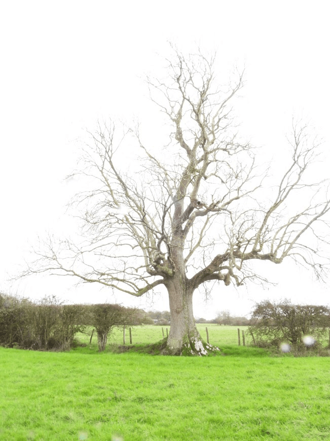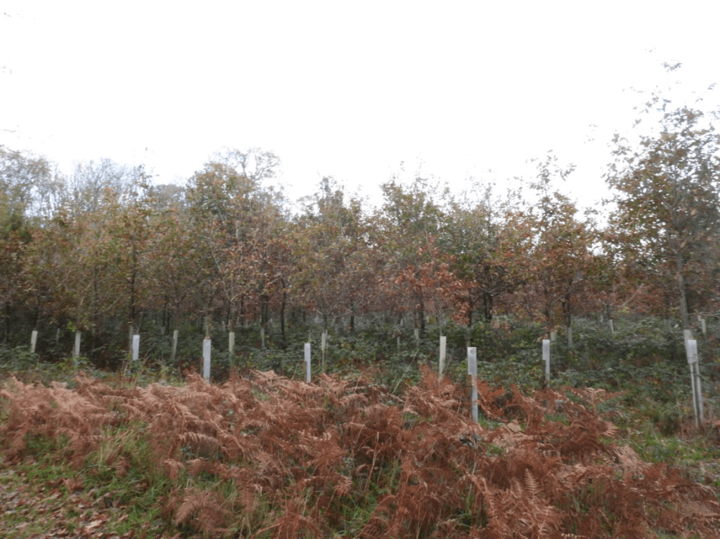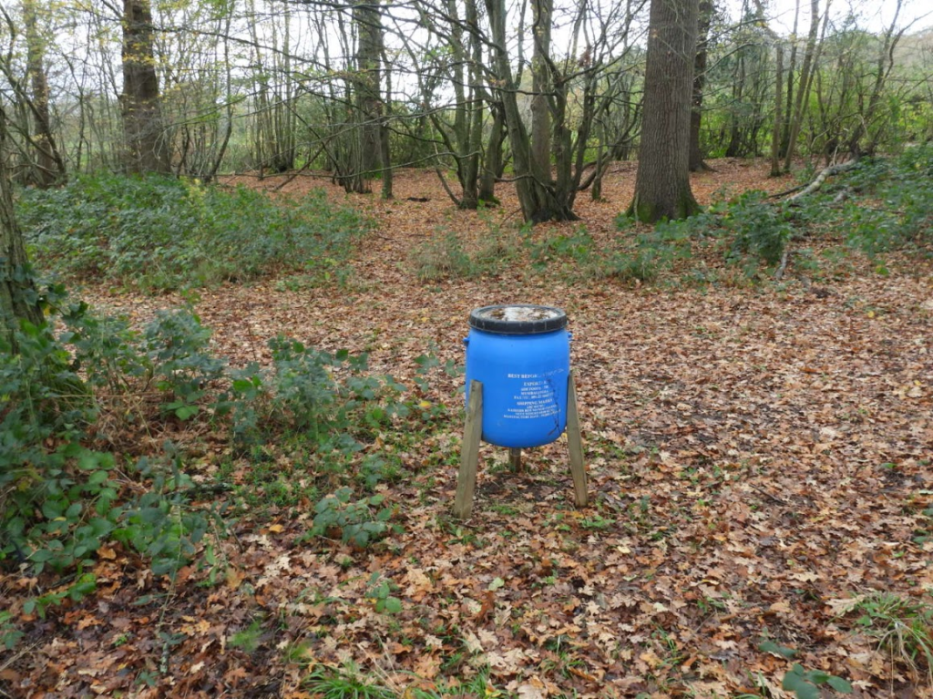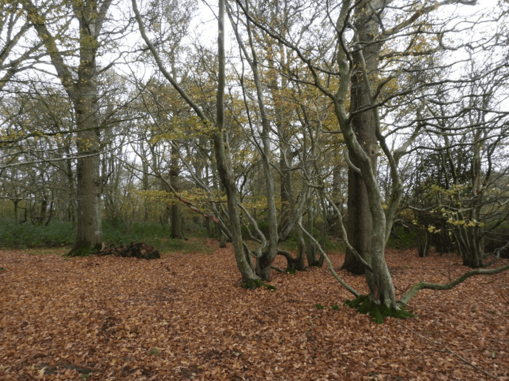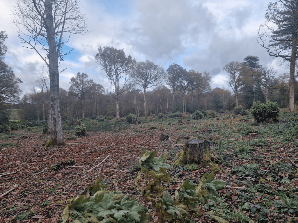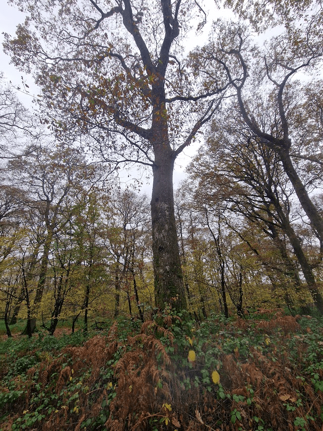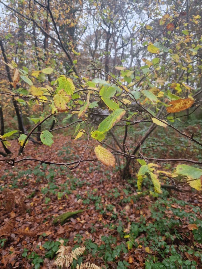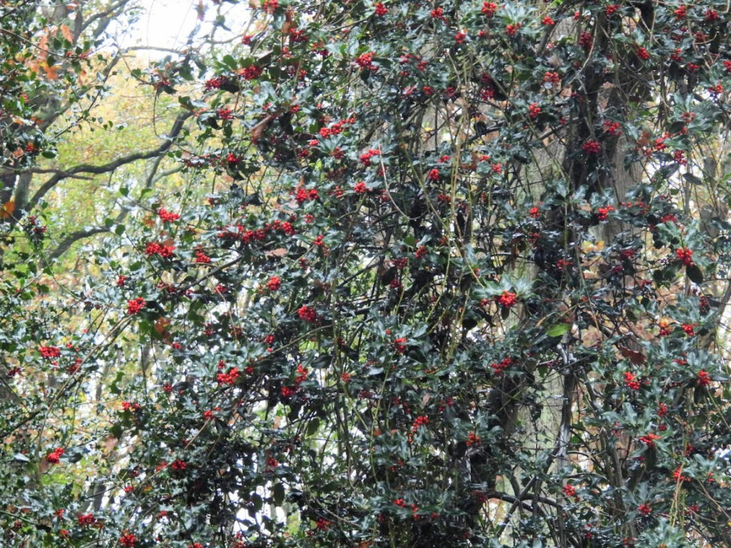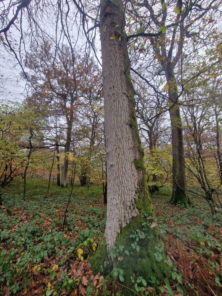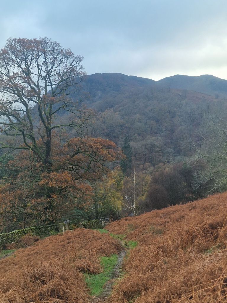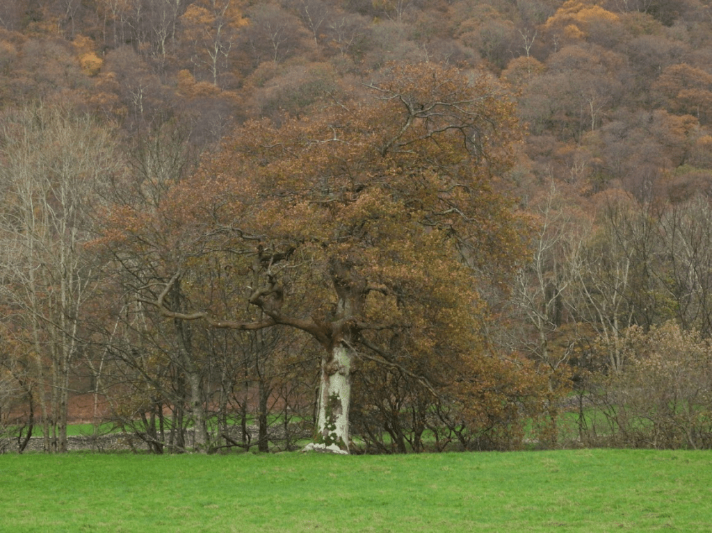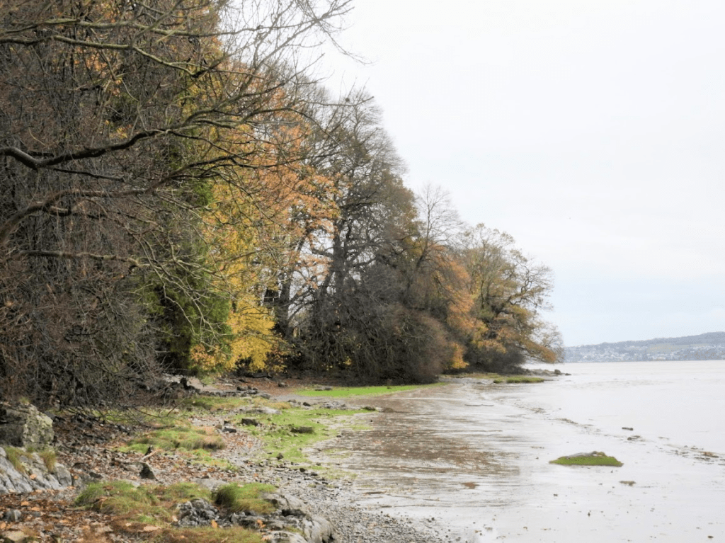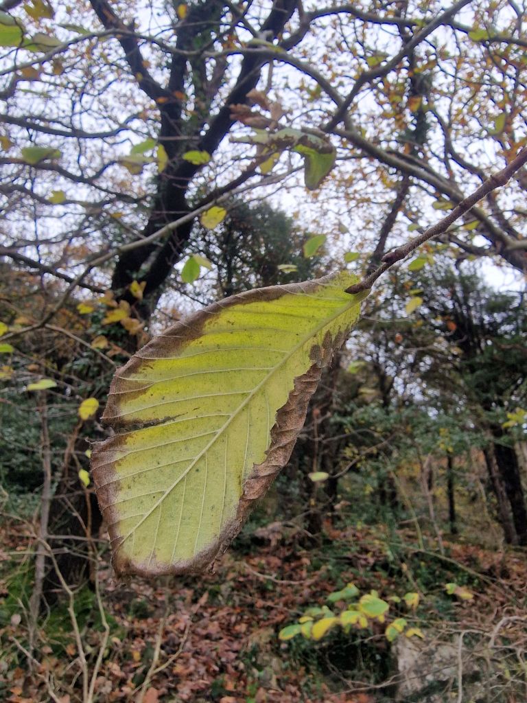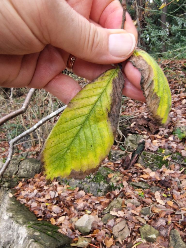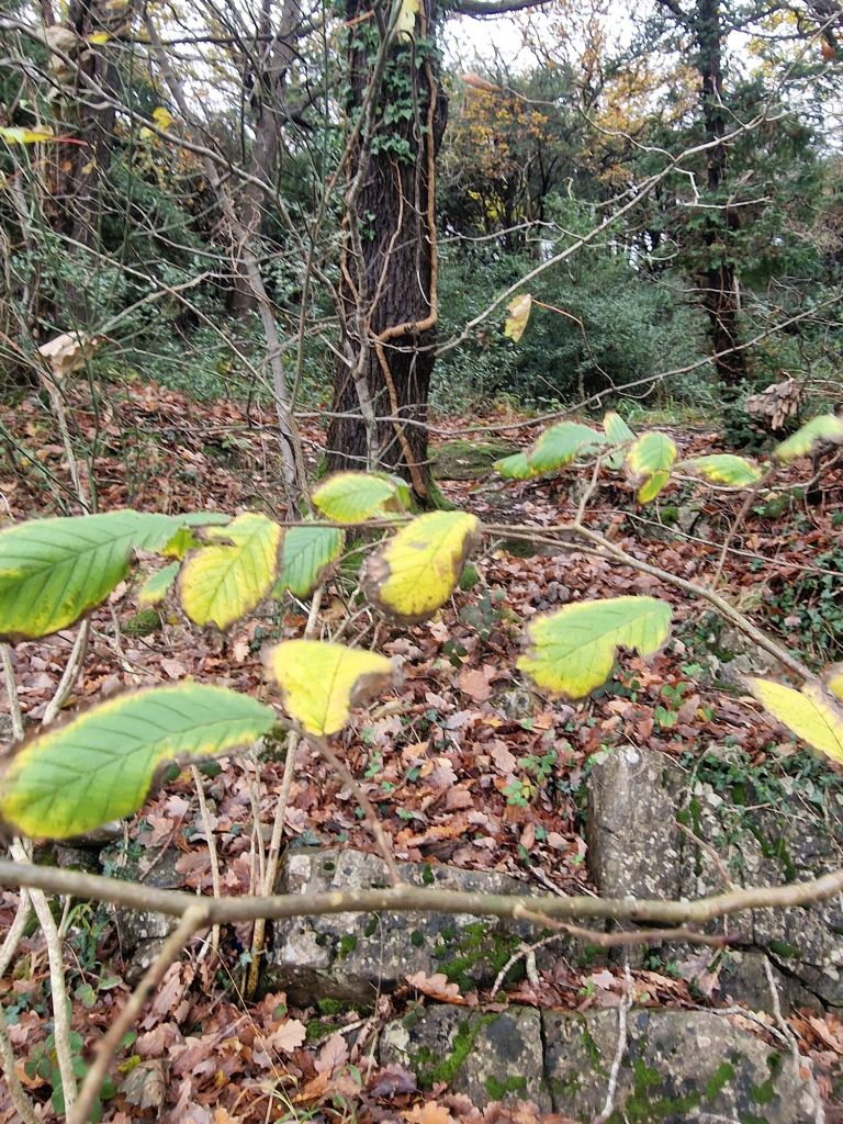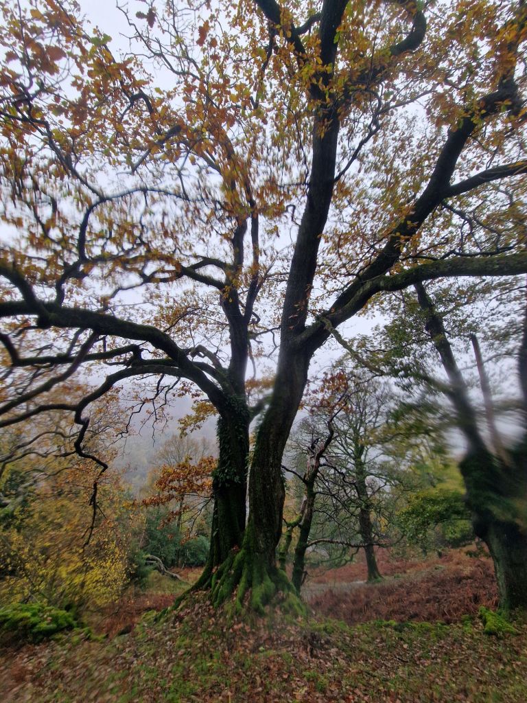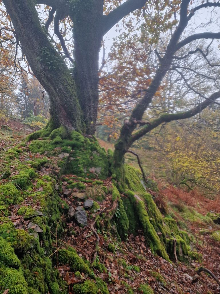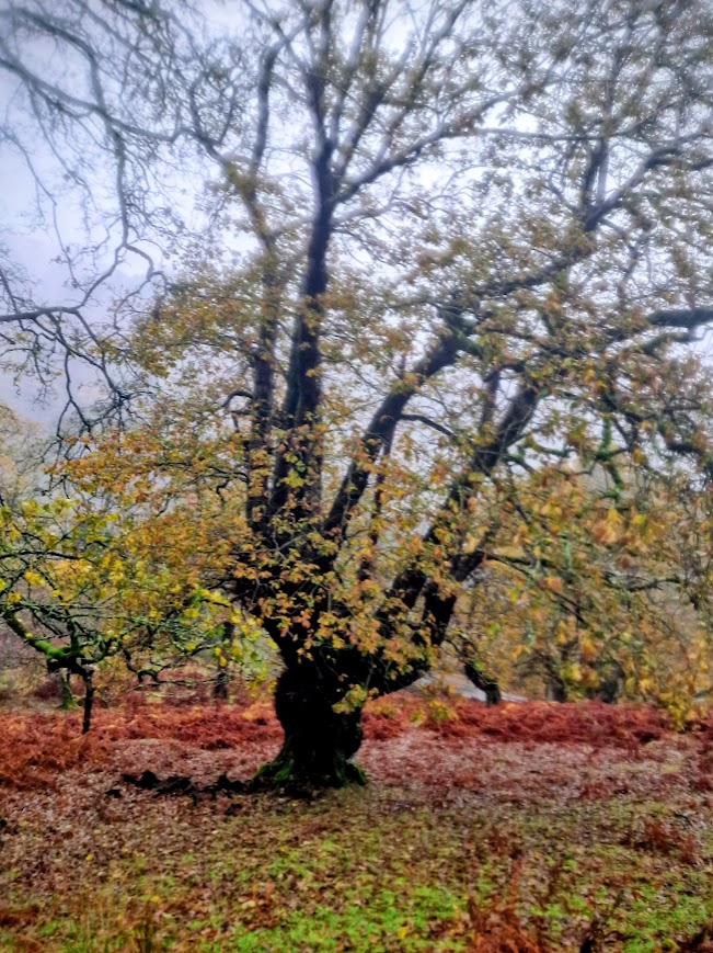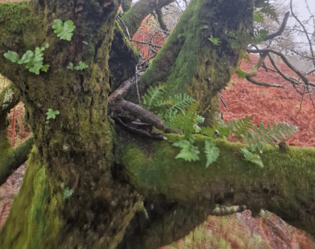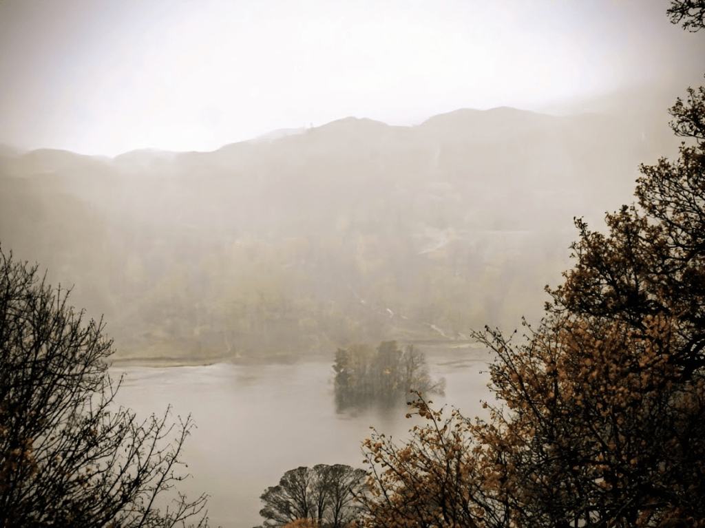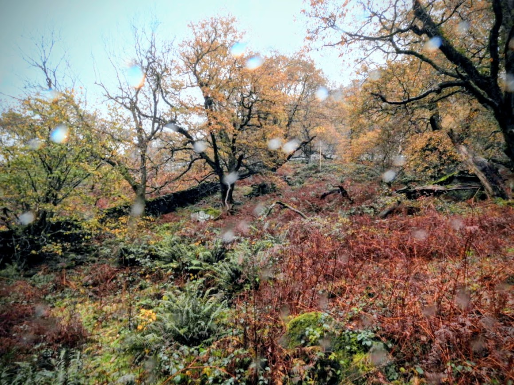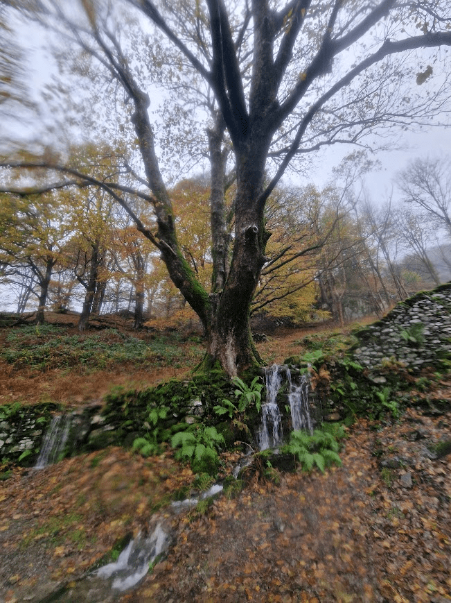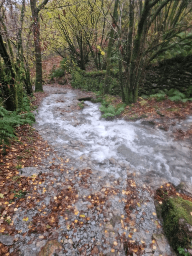
The degradation of the ancient Sweet Chestnuts trees of Halnaker Park, due to change of land use from pasture to intensive arable farming. 28.11.28

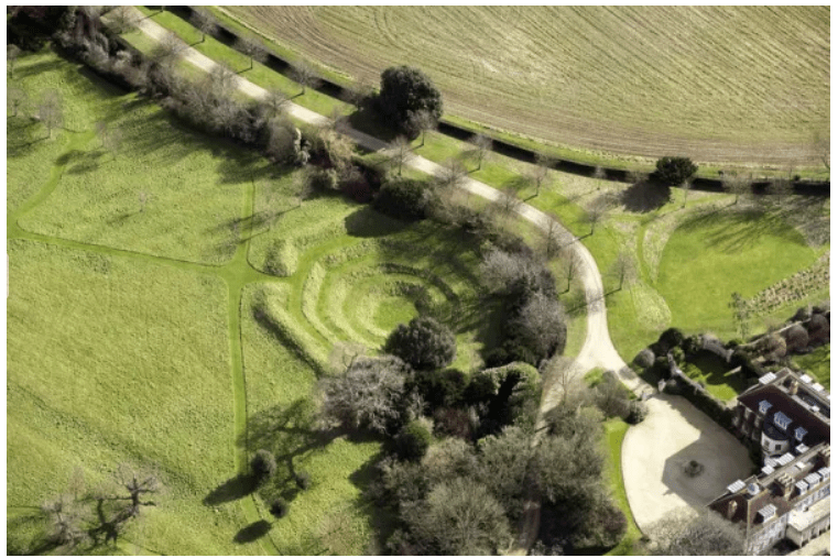
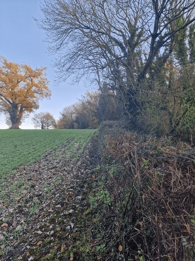
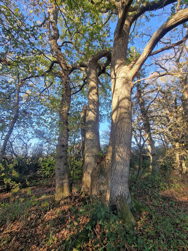
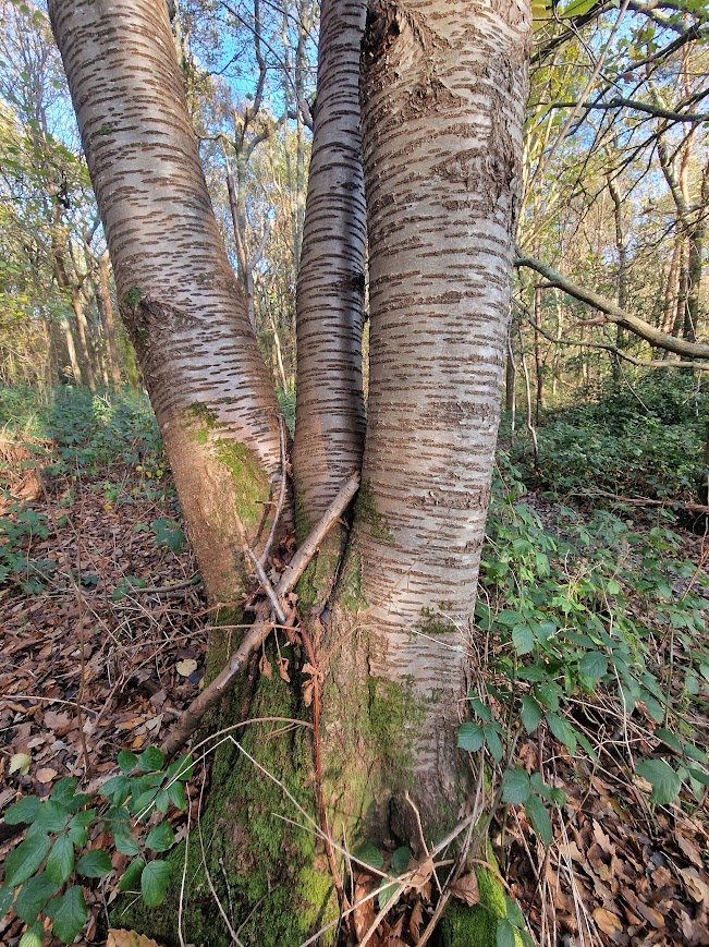
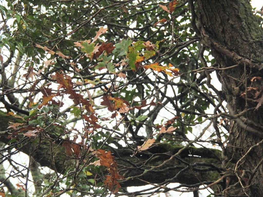
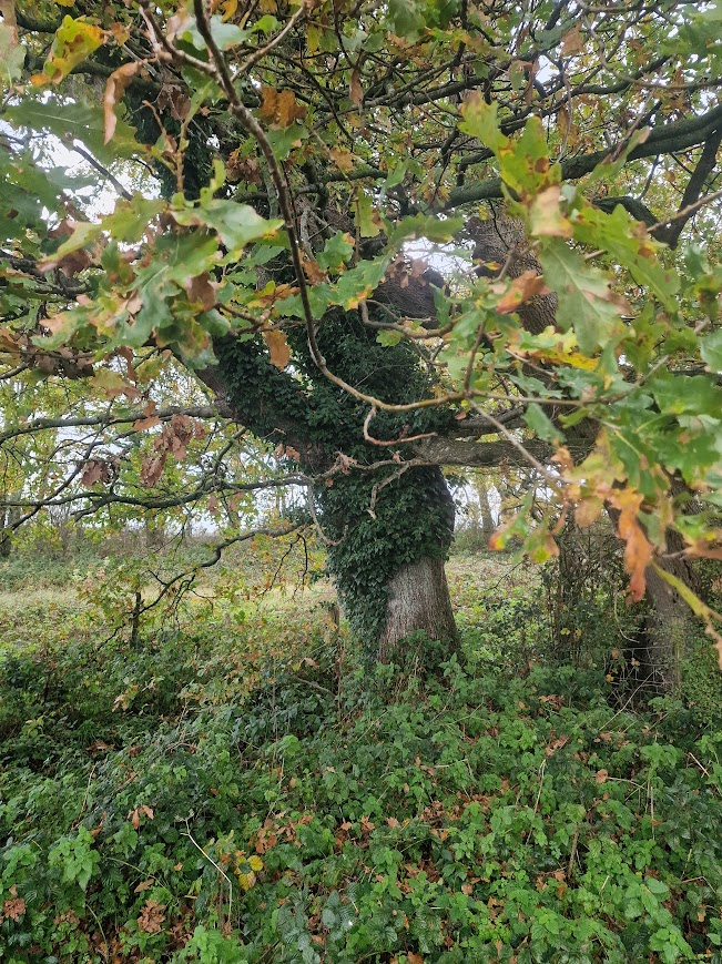
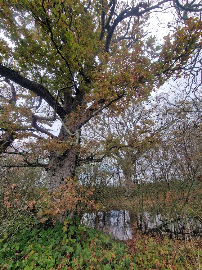
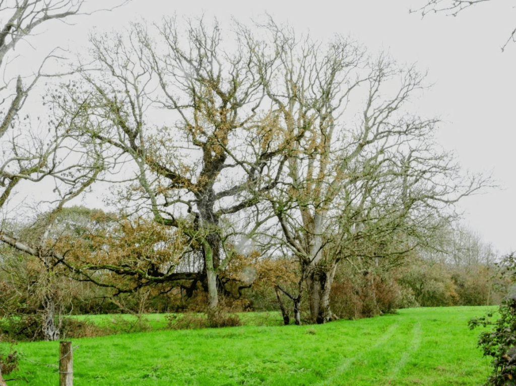
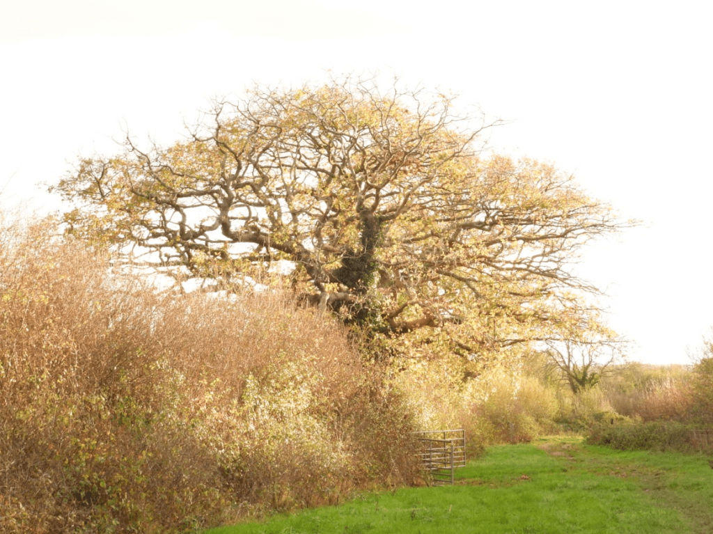
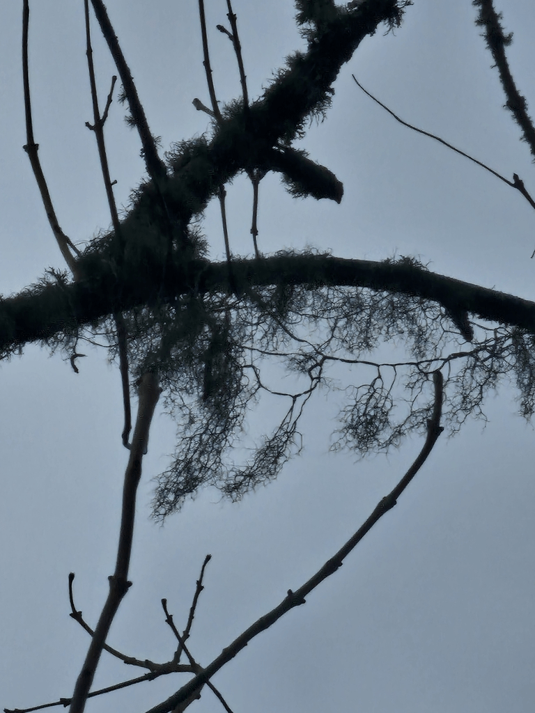
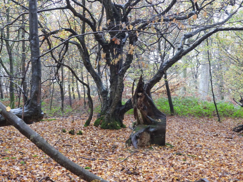
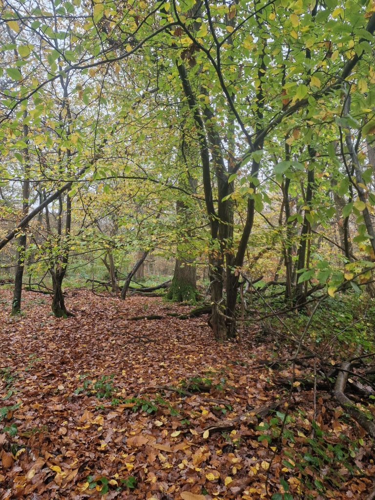
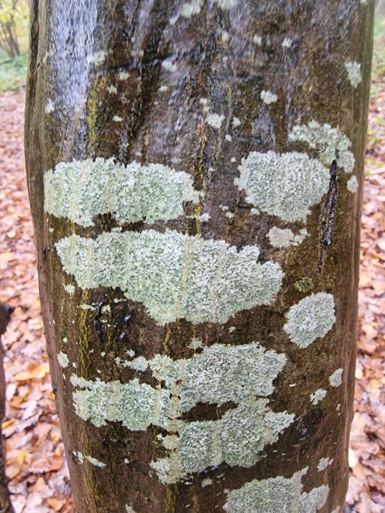
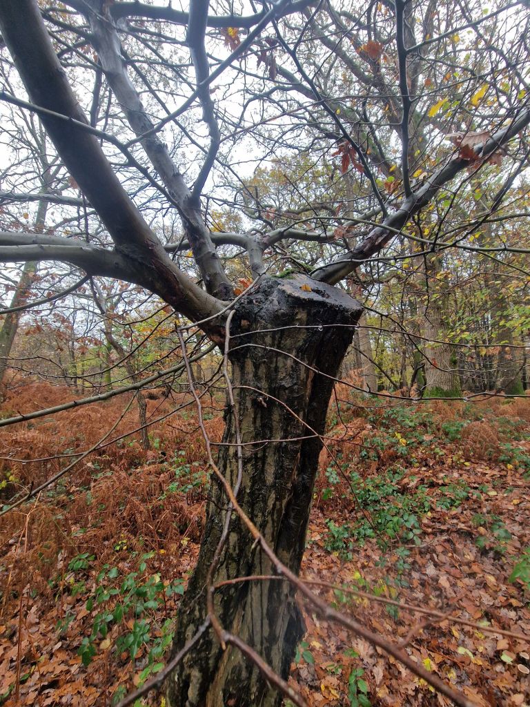
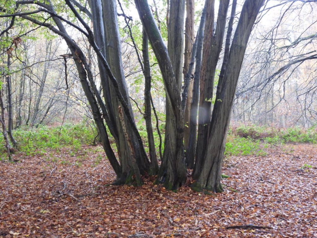
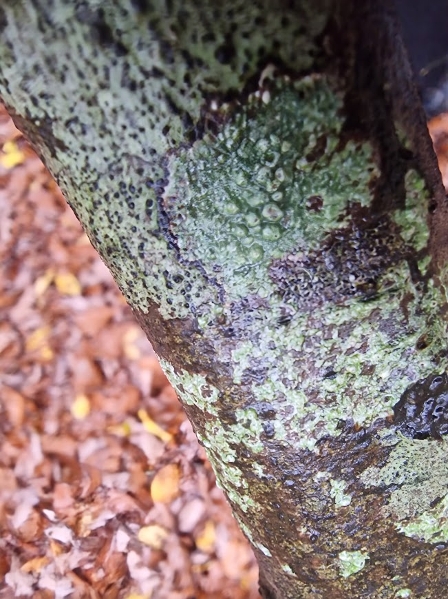
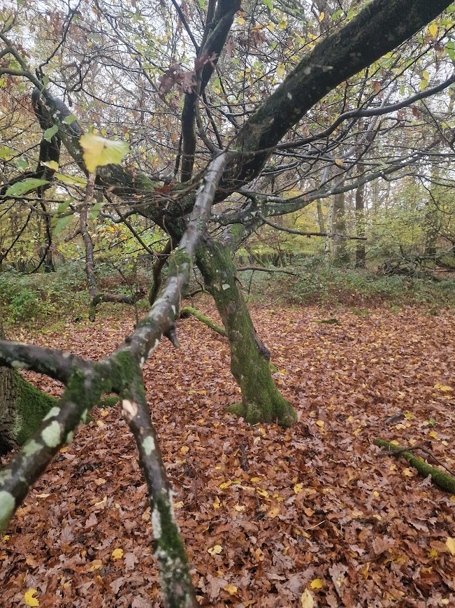
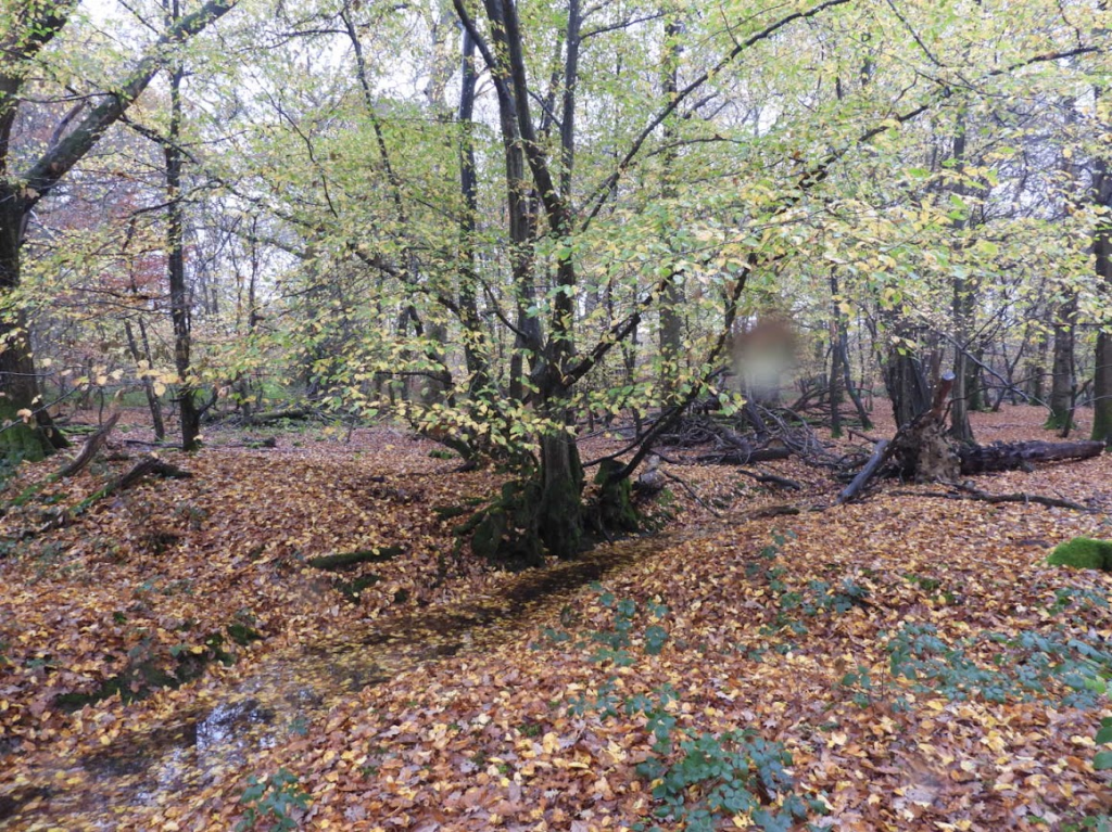
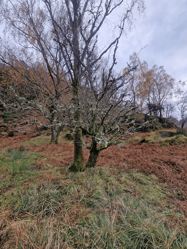
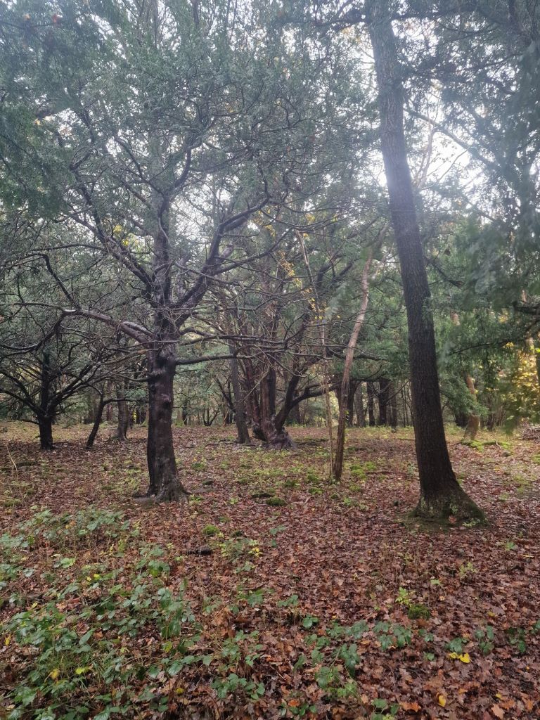
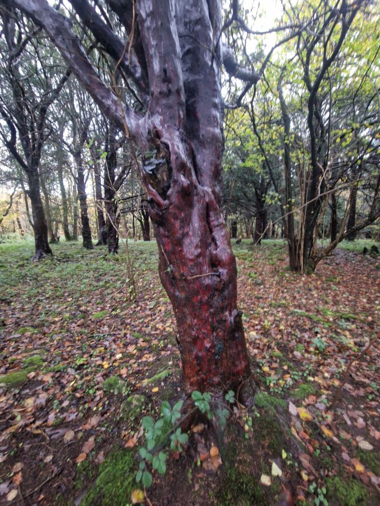
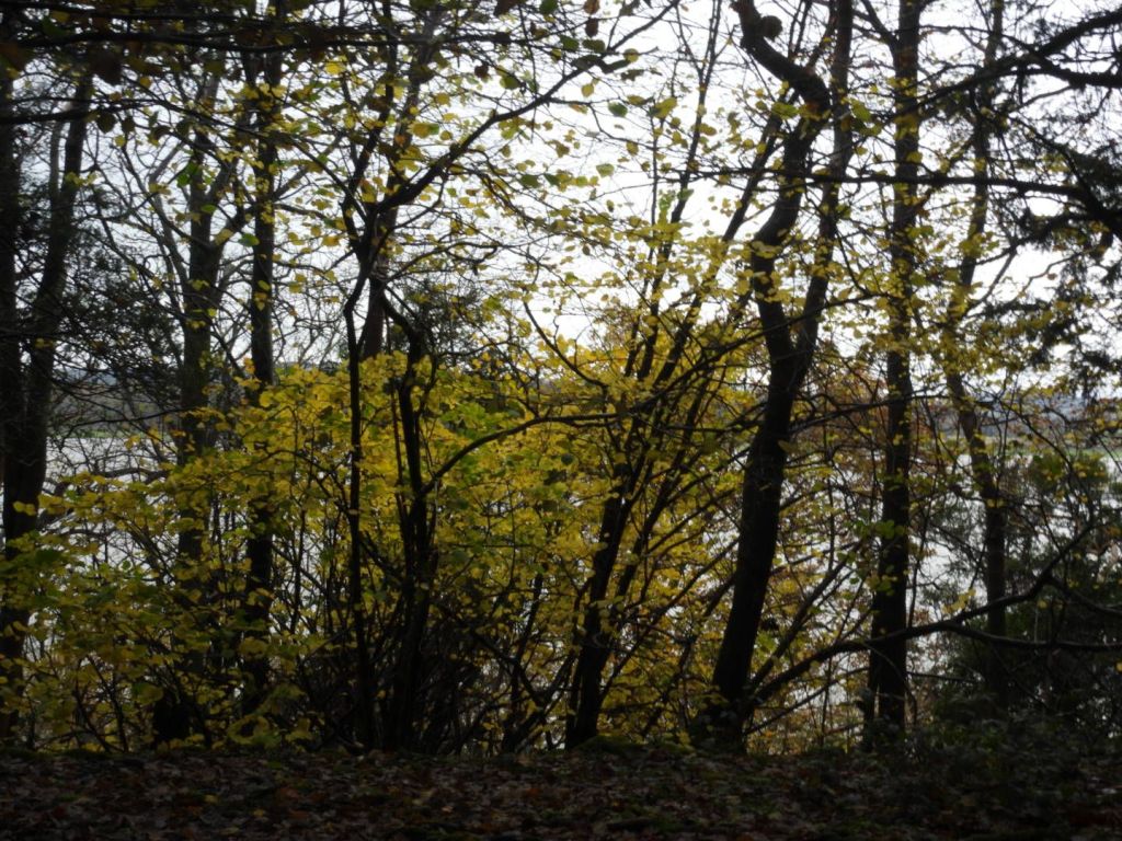
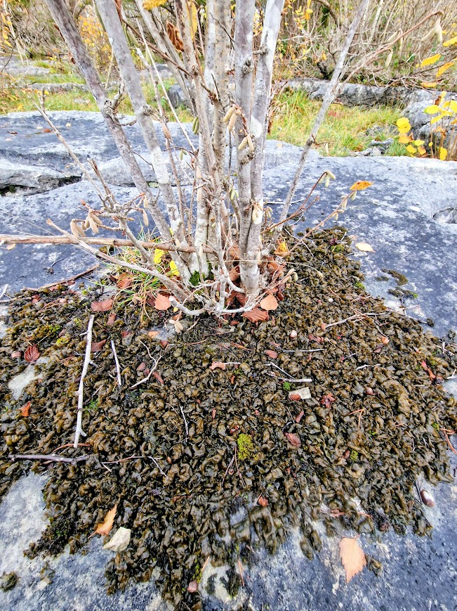
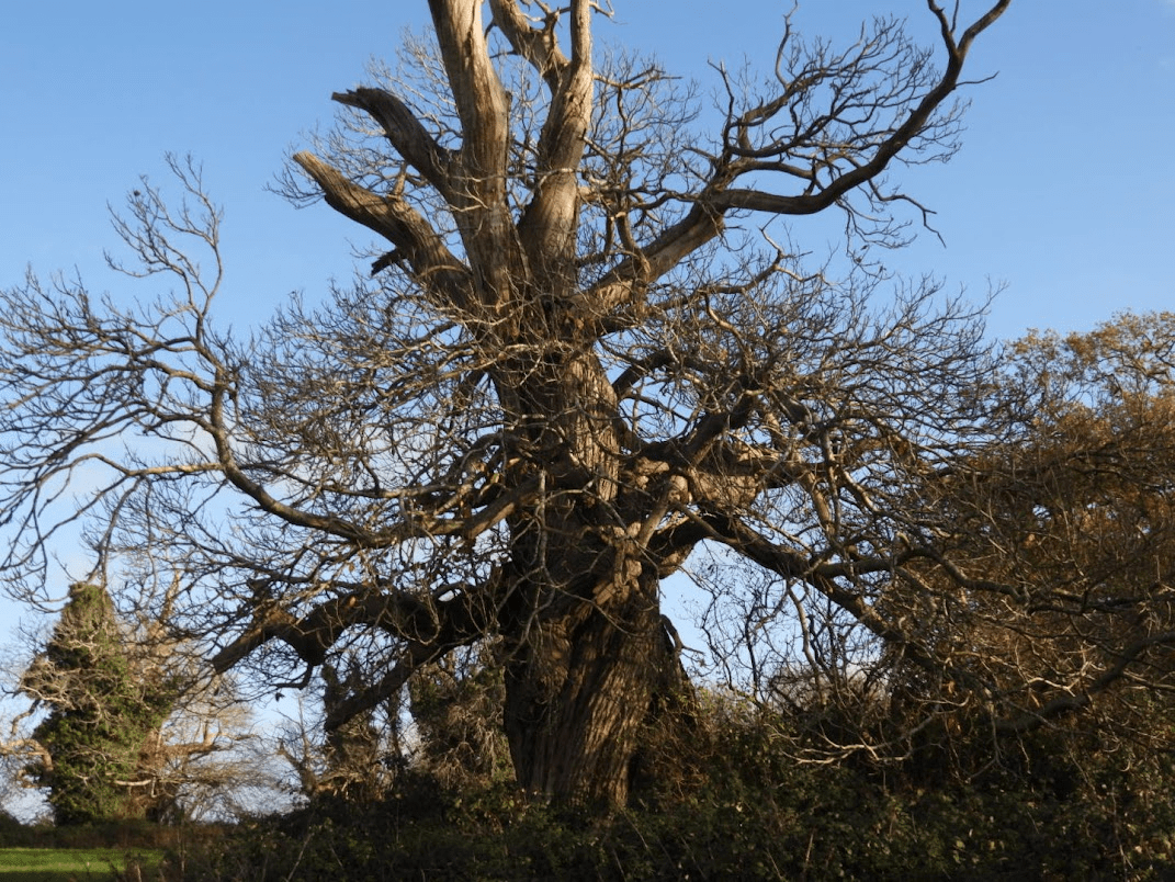
On a recent trip to the parish of Boxgrove, I walked up the footpath to the west of Halnaker Park, an ancient deer park. Most deer parks have mostly pollarded Oaks, but this one has mostly Sweet Chestnuts. Some other deer parks have Sweet Chestnuts too; such as Bushy, Richmond and Petworth; but in these Oaks domiate; at Halnaker Sweet Chestnut dominates. The Sweet Chestnuts in the park are magnificent; but close-up examination of those by the path revealed them to be in a parlous state.
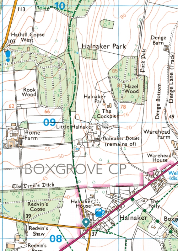
My description of the other features of Boxgrove Parish, including the magnificent Boxgrove Parish Church, see Boxgrove Parish’s historic landscape & built environment; focusing on the painted & carved foliage in Boxgrove Priory Church of St Mary and St Blaise. 28.11.25

The Park of Halnaker possibly originated in a grant of free warren made in 1253 to Robert de St. John for his demesnes at Halnaker, Goodwood, and elsewhere, outside the limits of the forest. An inquiry as to the recent enlargement of the park by 60 acres was ordered in 1283, and it was said to contain 150 acres in 1329, and to be 2 leagues round in 1337. Hugh, elder son of Lord St. John, had licence in 1404 to inclose 300 acres of land and wood within the lordship of Halnaker and make a park, according to the metes begun by his father, but possibly did not avail himself of it, as the licence was renewed to Thomas and Elizabeth West in 1517. This may be the origin of Goodwood Park, which first appears in 1540, when it was part of the Halnaker estate, as it was also in 1561. In 1570 Halnaker Park was estimated to be 4 miles in compass and supported 800 deer. It continued to descend with the manor, but Goodwood Park was sold in 1584 by Lord Lumley to Henry and Elizabeth Walrond, who transferred it in 1597 to Thomas Cesar; he conveyed it in 1599 to Thomas Bennett, who in 1609 sold it to Sir Edward Fraunceis. The Earl of Northumberland in 1657 sold it, with ‘the house lately erected therein’, to John Caryll, who conveyed the park and mansion house to Anthony Kempe in 1675, and it subsequently came to the Comptons of East Lavant, from whom it was bought, about 1720, by the Duke of Richmond. from: http://www.british-history.ac.uk/ Quoted on https://boxgroveparishcouncil.gov.uk/about-boxgrove/halnaker/#:~:text=The%20PARK%20of%20Halnaker%20possibly,fn.

The importance of ancient deer parks is outlined in the University of Oxford’s Ancient Oaks of England Project Deer Parks: After the Norman conquest of England in 1066 deer parks became a ‘craze’ among the new nobility, who had taken over almost all the land held before by the Anglo-Saxons. While the Domesday Book in 1086 only recorded 37 deer parks, by around 1300 there may have been as many as 3,000. Every nobleman wanted a park and many had one, while great magnates and some bishops owned 10 or more and the king could boast as many as 80 to 100. It was all about hunting deer and having venison available for feasts. To be able to present guests with this ‘noble’ meat instead of the plain beef and pork that common people (sometimes) had was a serious matter of status.

A deer park was usually created in an area of the manor that was not under cultivation or occupied by hayfields or woods managed as coppice. It was called ‘waste’ (we would now say nature reserve) and often consisted of some open rough grassland or heath and pasture woodland. There were wild growing native trees, mainly oaks. These and some underwood or shrubs were necessary to provide for winter food and shelter. This became especially important with the introduction by the Normans of fallow deer from southern Europe to stock the parks. These animals would not survive the English winter otherwise.

The park was surrounded by a park pale, a ditch on the inside and an earth wall on the outside on top of which was a pale fence of cleft oak. The deer could not scale such a barrier from inside the park, but ‘deer leaps’ could lure them in from outside, a clever construction. … Also inside was usually a park or hunting lodge and if this building was moated we can often still recognize this moat as well as lines of the park pale in the form of lanes, field boundaries or even the earth wall of the park pale. We now know where most of these parks were even if few of these traces remain. By analyzing the position of ancient oaks in the landscape we can find out if they stood in a medieval deer park.

My research has established that medieval deer parks were by far the most important form of land use associated with ancient and veteran oaks in England. Some 35% of all oaks in England with a girth >5.99 m are associated with medieval deer parks and of 115 oaks with >9.00 m girth 60 once stood in those ancient deer parks. Of 23 ‘most important sites’ for ancient oaks I have so far identified, 20 were deer parks and 16 of these were medieval. There are many other landscape associations with ancient oaks and for a significant number of these trees the historical context remains unknown, lost in the mists of time. But the medieval deer parks are the main reason why England has so many of these venerable oaks. https://herbaria.plants.ox.ac.uk/bol/ancientoaksofengland/Deerparks

Typical location [of Sweet Chestnut]: Parkland, designed landscapes, fields, woodland (often found as coppice) and wood pasture. Occasionally avenues, street trees and gardens. Age: Sweet chestnut may be able to live for 1,000 years, although 600 may be more typical on many sites. All sweet chestnut will be ancient from 400 years onwards, although many will have ancient characteristics from around 300 years. Woodland Trust Sweet Chestnut

Jarman identifies seven types of British ‘sweet chestnut landscape’: ancient inclosures; ancient coppice woods; historic boundaries; historic gardens; historic deer parks and designed parklands; historic formal avenues; and more recent high forest and production coppice. R.A Jarman (2019) Sweet chestnut (Castanea sativa Mill.) in Britain: a multi-proxy approach to determine its origins and cultural significance; unpublished PhD Theses. University of Gloucester. https://eprints.glos.ac.uk/7484/1/Robin%20Jarman%20PhD%20Thesis%20Sweet%20chestnut%20in%20Britain.pdf retrieved 01/12/25 p. 2

Sweet Chestnuts Outside of woodland habitats, sweet chestnut performs a different ecological role, as in wood pastures and historic parklands, where stands of single or groups of ancient trees, stubs and stools support many veteran tree features (Lonsdale, 2013). Such trees sustain a wide diversity of scarce and sometimes endangered invertebrate and other animal species; and host a specialised flora, notably lichens, bryophytes and fungi. These trees and their associated communities are typically many centuries old and provide sites of high ‘ecological continuity’ (Rose, 1974 and 1976) in landscapes where these are rare. Johnson op. cit. p. 45

In that context of ecological continuity and antiquity, cultural significance is not a separate concept – humans can be considered as part of nature, and the ‘sweet chestnut scapes’ that were discovered and surveyed during this research reflect that: ancient inclosures, ancient coppice woods, historic boundaries, historic gardens, historic deer parks and designed parklands, historic formal avenues, and high forest and production coppice are all artefacts of management. Johnson op. cit. p.47

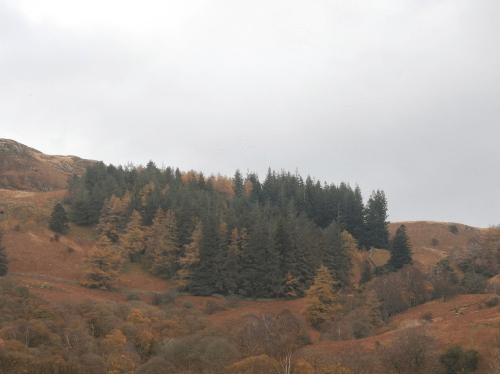
The Sweet Chestnuts in Halnaker Park are ca. 400 years old; they look very unlikely to make it to 600 years, let alone 1000 year.

The Sweet Chestnuts are listed by the Woodland Trust Ancient Tree Inventory as all ancient.
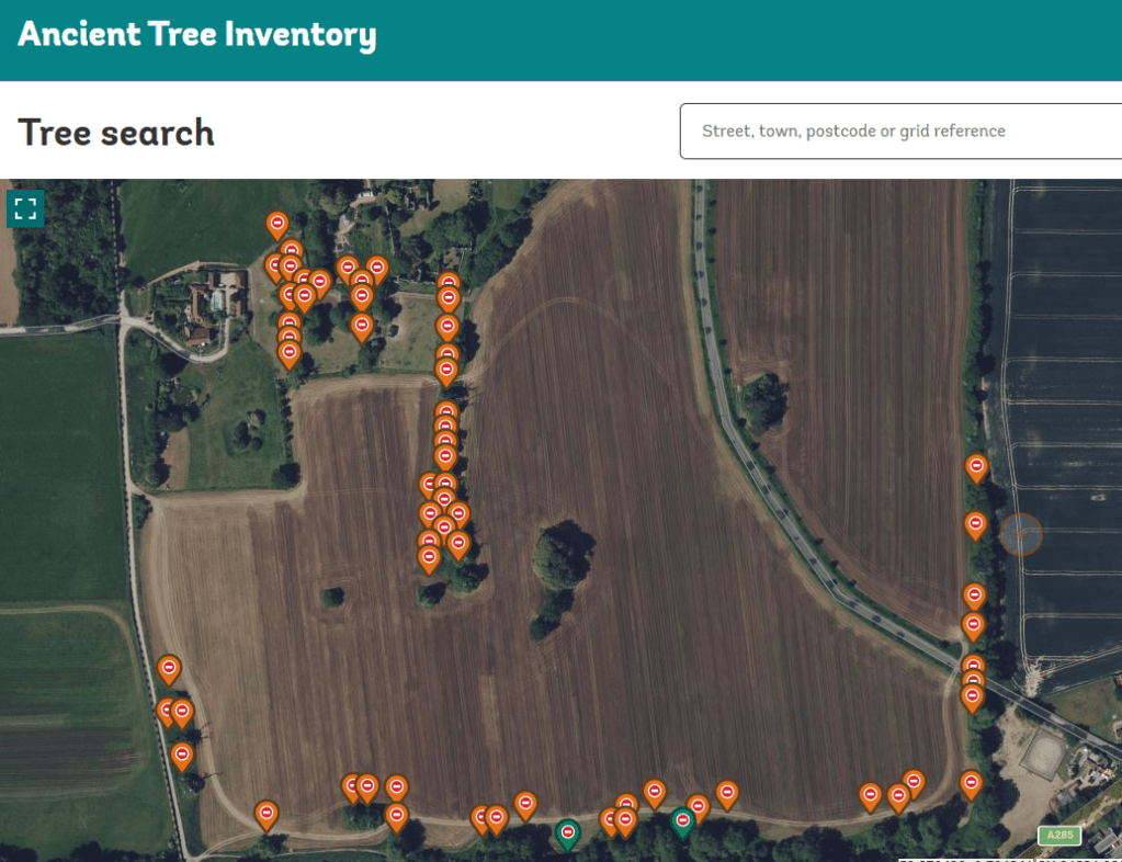
Map: Woodland Trust Ancient Tree Inventory

They are pollarded, as was typical for trees in deer parks. These ancient Sweet Chestnuts are one of the most important natural assets of the parish of Boxgrove, West Sussex. These Sweet Chestnuts are biologically important and a benefit to the landscape.

(The 18th, 19th and 29th century practice of replanting semi natural ancient woodland with Sweet Chestnut, which was then coppiced for timber, was not a benefit to landscape of Sussex; but it was profitable.)

From Parks & Garden UK: Halnaker Park

(Parks & Gardens UK is the leading online resource for historic parks and gardens. It is an essential resource across multiple fields, from heritage preservation and academic research to personal enrichment and professional garden design).

The most impressive feature of the landscape [of Halnaker] is the mature Sweet Chestnut Trees. In essence, the landscape of Halnaker Park has changed little in 370 years, with the exception of changes in land use. More of the park is now under arable cultivation rather than grassland and pasture (as indicated by the field names in 1629). …

The most impressive feature of the landscape is the mature Sweet Chestnut Trees. There are 74 in total distributed along the lower southern boundary, in a block to the south-west of the ruins, in a long row to the south-east of the gate house entrance, and as isolated trees in the lower park. The trees are all in a poor state, with die back and bark loss. They are clearly very old. One has a girth of more than eight meters. ….

… [T]he names and location of woodland blocks in 1629 are similar to the current situation, that is: Haflewoode coppice (1629) = Hazel Wood Winkinge Woode = Ladys Winkins; Hoke Woode = Rook Wood; Harthill Wood = Hathill Copse West; Saley Coppice = Seely Copse

The gap or ride through the woodland to the northern boundary, apparent on maps of 1778, 1813, 1880 is still evident as Halnaker Gallop. The shape of the woodland blocks are almost identical to the 1880 map and very similar to the 1778 map. Many of the parkland trees and clumps on the 1880 map are still present today.

In essence, the landscape of Halnaker Park has changed little in 370 years, with the exception of changes in land use. More of the park is now under arable cultivation rather than grassland and pasture (as indicated by the field names in 1629).
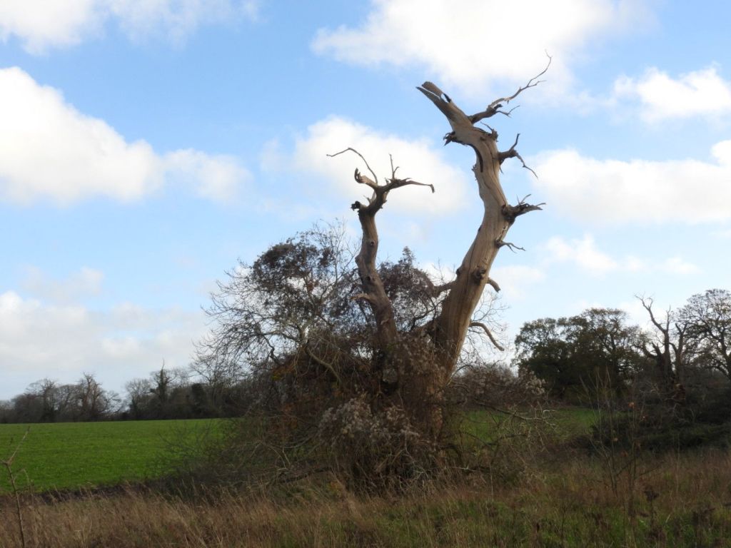
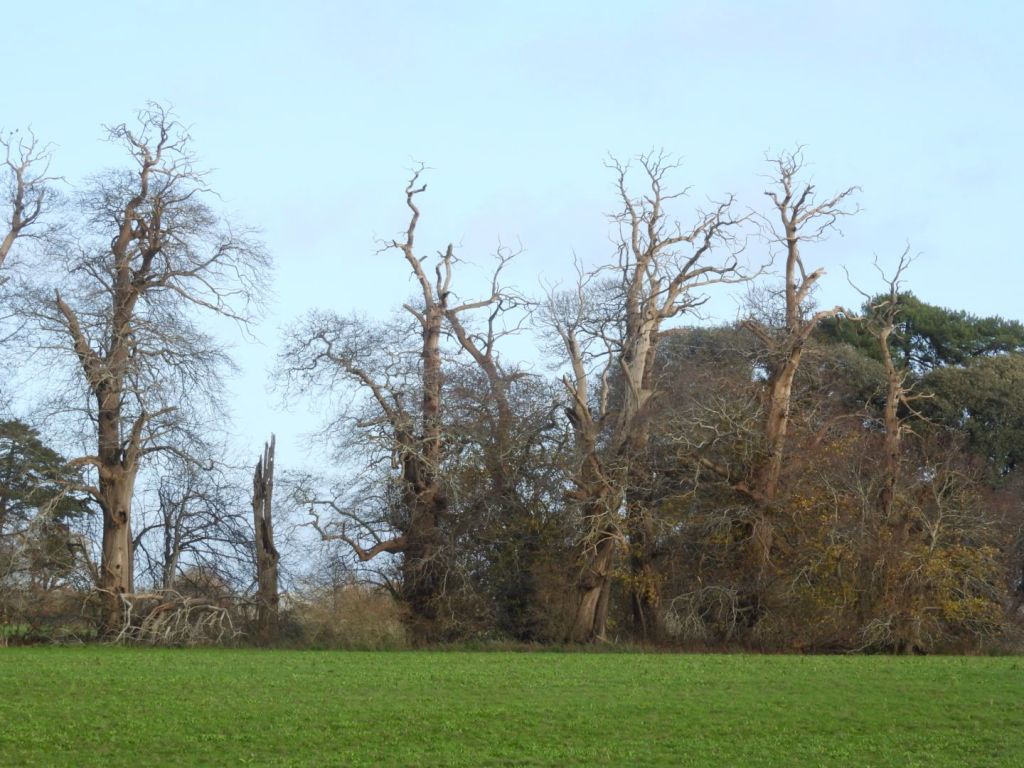
The greatest threat to the historic landscape in the short term is the loss of the Sweet Chestnuts in the lower park. All the trees are showing signs of severe stress mainly due to agricultural activities, for example spray drift, ploughing too close to the tree base, or ring barking due to mechanical damage from equipment.

Returning the lower park to permanent pasture would reduce the stress on the trees and considerably enhance the setting of the ruins of Halnaker Park. https://www.parksandgardens.org/places/halnaker-park

This has not be done. The Lower Park is owned by the Goodwood Estate. All of the chestnuts are on their private land and there is no permissive access.

It is possible that the Goodwood Estate has not taken seriously the preservation of the precious natural assets of the Chestnut-planted deer park because of a prejudice against non-native trees, but as Jarman, et al., point out in (2019) Landscapes of sweet chestnut (Castanea sativa) in Britain – their ancient origins. Landscape History, 40(2), pp.5-40, there is a general consensus on the ecological importance of sweet chestnut in Britain. It can be concluded that, irrespective of whether it is ‘native’ or ‘alien’, the species performs an important ecological function in specific types of ancient semi-natural woodlands, notably in southern Britain where it does behave like the ‘honorary native’ that Rackham (in Rackham, O. (1980). Ancient Woodland) observed it to be. Johnson op. cit. p.47

What the Goodwood Estate says about stewardship: Nestled in the heart of rural West Sussex, the Goodwood Estate spans 11,000 acres, and has a great responsibility to protect, maintain and enhance its distinctive character and landscape. Ensuring that future generations can cherish Goodwood as we all do today.. Goodwood Sustainability

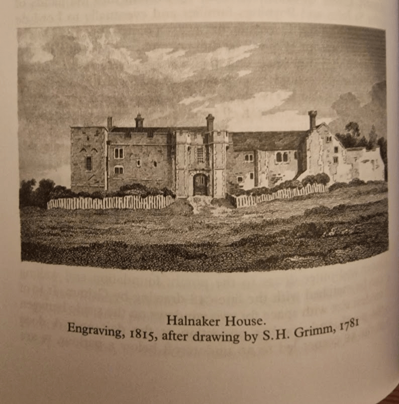
To the north are the remain of Halnaker House, again private with no permissive access. From Elizabeth Williamson, Tim Hudson, Jeremy Musson, Ian Nairn, Nikolaus Pevsner (2019) Sussex: West (Pevsner Architectural Guides: Buildings of England) pp. 409-401:HALNAKER HOUSE (ruins). Halnaker and Cowdray (q.v.) have remarkably similar history. Both were medieval houses given a wholesale remodelling in the C16 by owners who used up-to-date Renaissance ornament. Both became ruined about 1800. But where Cowdrav still impresses as architecture, too much has gone at Halnaker to make it more than a pretty, picturesque group of walls. This is not only the fault of the weather. Details were transplanted wholesale to Chichester, … It is a pity, for the complete Halnaker would have been very impressive.

It was begun by the de Haye family, the founders of Boxgrove Priory and came by descent into the hands of the St John and Poynings families and eventually to Lord de la Warr. The site faces south at the exact point where the Downs begin to rise out of the coastal plain, and consists of an irreg-lar retaining wall enclosing separate hall and chapel ranges. Closed at the south end by a nearly symmetrical C14 gatehouse and wings, achieving a semi-fortified, semi-regular effect which suited both the political climate and the visual inclinations of the C14. Halnaker was the type of Stokesay, not Bodiam. In the C16 the hall range was extended by a solar range that linked it to a chapel: work mainly done for Thomas West, Lord de la Warr (of the Renaissance chantry at Boxgrove and the Renaissance tombs at Broadwater …). The house became redundant when Goodwood was built but was not fully abandoned until the C19.

1781
2025
Boxgrove Parish’s historic landscape & built environment; focusing on the painted & carved foliage in Boxgrove Priory Church of St Mary and St Blaise. 28.11.25
When you walk around the parish of Boxgrove, West Sussex, history collides in the landscape and the built environment; with extraordinarily diverse and interesting physical evidence of building and other human activity from the Neolithic, Iron Age, Roman Occupation, Norman, Plantagenet and Tudor periods.

The landscape of the Downs, itself formed by human activity – human introduced sheep grazing – is stunning beautiful; as are the ancient chestnuts of the Halnaker medieval Deer Park (which gets its own post). The importance of sheep to the creation of the South Downs, and the medieval economy of Sussex, is referenced in the name of the Boxgrove Priory Church: St Blaise is the patron saint of wool carders.

Sheep were vital to the medieval economy of Sussex, providing the primary raw material for the region’s thriving wool and cloth industry, which was the backbone of the national economy. Beyond wool, sheep provided other valuable resources like meat, milk, and manure, and their management was integral to the agricultural practices that made the area one of the wealthiest in England. P.F. Brandon (1971) Demesne Arable Farming in Coastal Sussex during the Later Middle Ages  Agricultural History Review 

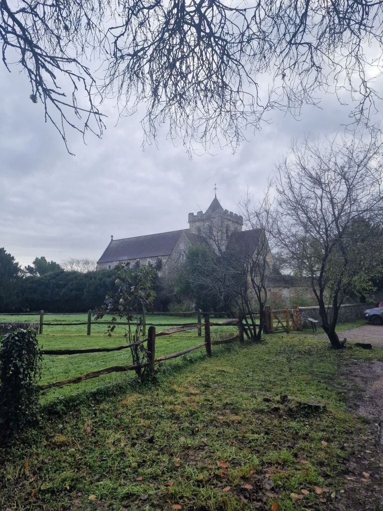
The pinnacle of its built environment is the Plantagenet and Tudor Boxgrove Priory Church with the De la Warr Chantry being of international art historical importance.

It is a magical church full of echoes of French influence along the Sussex coast. Its crossing is a mystery of light and dark and the great chancel is alive with Tudor roses and heraldry. The De La Warr chantry contains beautiful early French motifs from a Book of Hours. These must be some of the best renaissance carvings in any English church. They make Boxgrove very special. Sir Simon Jenkins

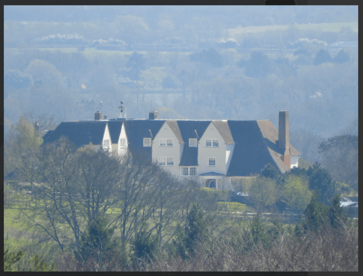
There are later building of historical importance too, specifically the 18th century tower Wind Mill on Halnaker Hill (1740) and Sir Edwin Lutyens’s Halnaker Park, built in 1938. 

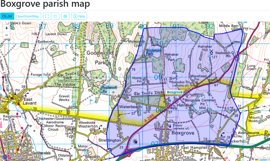
From the Saturday Walkers Club maps

On Halnaker Hill is a neolithic (10000 BC – 2200 BC) causeway enclosure. Below Halnaker Hill. is the late Iron Age Devil’s Ditch; it dates probably from the late Iron Age (ca. 100 BC – AD 43). The Ditch terminates where it meets Stane Street. The Roman Stane Street may have been built shortly after the Devil’s Ditch in the first decade of the Roman occupation of Britain (as early as 43–53 AD). There was an Anglo-Saxon church at Boxgrove (recorded in the Doomsday Book) but there are no physical remains of it. Over it was built an early Norman Benedictine Priory, completed ca. 1170.; its nave is now ruined but the Priory Church of St Mary and St Blaise remains, with the addition of a C14 porch and a C15 vestry, and the addition of outstandingly beautiful C16 C De la Warr chantry (ca 1530).
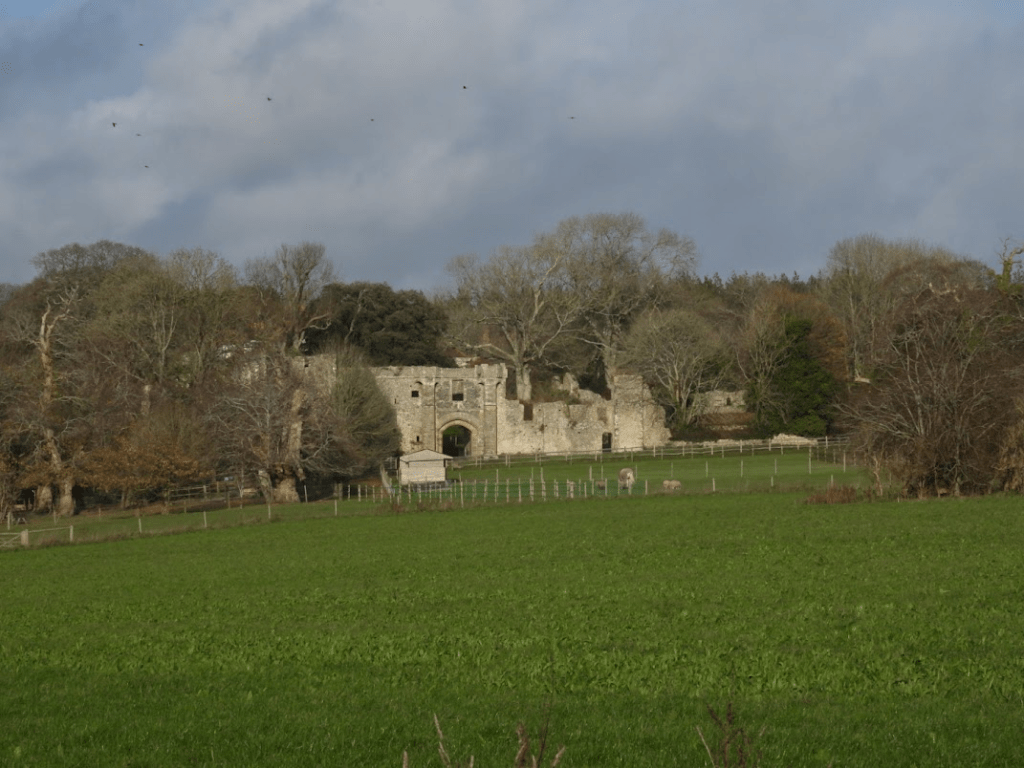
In the north of the parish of Boxgrove is the Halnaker medieval deer park (grant of land 1283.) with the ruins of the C14-C15 fortified Manor House of the De La Waar family. A very noticeable feature of the landscape is the outstanding cluster of ancient Sweet Chestnut trees in the medieval deer park and the ruins of Old Halnaker House built by the de Haye family in the thirteenth century, see The degradation of the ancient Sweet Chestnuts trees of Halnaker Park, due to change of land use from pasture to intensive arable farming. 28.11.29 for more on the chestnuts and the house.

simelliottnaturenotes.blog/2025/12/01/the-degradation-of-the-ancient-sweet-chestnuts-trees-of-halnaker-park-due-to-change-of-land-use-from-pasture-to-intensive-arable-farming-28-11-29/

Ruins of the De Lar Warr Manor House

House Sweet Chestnut

One of the ancient Sweet Chestnuts; now is very poor condition.

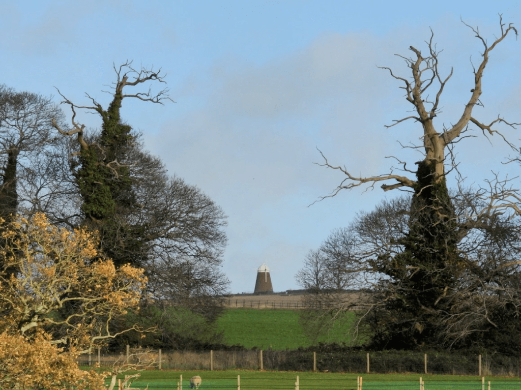
Halnaker Hill’s Windmill from the Deer Park – in this perspective its looks dwarfed by the ancient Sweet Chestnuts!

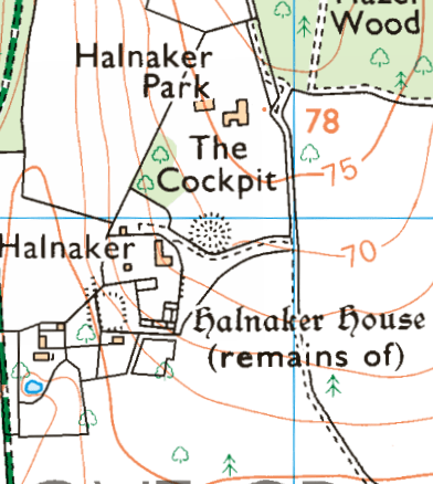
A fascinating man-made feature of the parish is the octagonal reservoir in the Halnaker House. This is not accessible publicly. The OS map calls it a cockpit; but it may not have been.

Photograph from Historic England

A later and important part of the landscape is house of Sir Edwin Lutyens, built in 1938, see Historic England Halnaker Park but this listed building is invisible from roads and public footpaths and is hidden from view by the trees of the medieval deer park in which it is located; and it is private.

Lutyen’s Halnaker Hall, photo by Robert Palmer on Historic England listing on-line

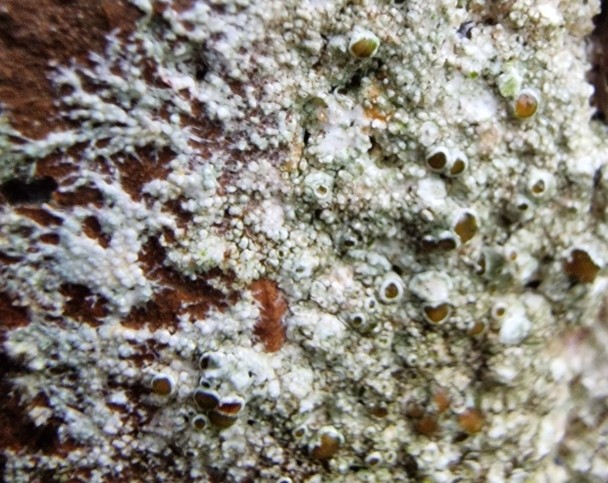
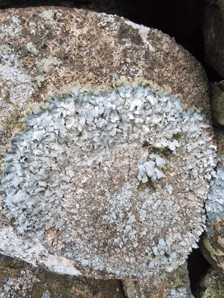
The occasion of the Second World War added to the historic melange of Boxgrove Parish’s Halnaker Hill concrete and octagonal brick structures which formed the base of searchlight emplacements. All that remains of these structures is parts of the bases; this are particularly ugly but are of historical importance and are listed by Historic England However, the brick and concrete does provide a substrate for some beautiful lichens e..g the very common Lecanora campestris which I photographed there on 07/12/2024 

There are some interesting sixteenth to nineteenth century vernacular houses in the parish; these are excellently described, with photographs, by John Bennett and Beryl Bakewell, available at January 2021 – Boxgrove and Halnaker Listed properties

Halnaker Hill Causeway Enclosure

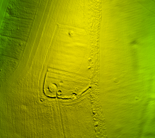
The oldest feature of the landscape is the neolithic Causeway Enclosure on the top of Halnaker Hill, close to the Halnaker Mill. Between 50 and 70 causewayed enclosures are recorded nationally, mainly in southern and eastern England. They were constructed over a period of some 500 years during the middle part of the Neolithic period (c.3000-2400 BC) but also continued in use into later periods. They vary considerably in size (from 0.8ha to 28ha) and were apparently used for a variety of functions, including settlement, defence, and ceremonial and funerary purposes. However, all comprise a roughly circular to ovoid area bounded by one or more concentric rings of banks and ditches. The ditches, from which the monument class derives its name, were formed of a series of elongated pits punctuated by unexcavated causeways. Causewayed enclosures are amongst the earliest field monuments to survive as recognisable features in the modern landscape and are one of the few known Neolithic monument types. Due to their rarity, their wide diversity of plan, and their considerable age, all causewayed enclosures are considered to be nationally important. Historic England Causeway Enclosure, World War II searchlight emplacements and associated remains on Halnaker Hill

LIDAR image of the Causeway Enclosure, posted by Grahame Hawthorn on the posts and comments of the Historic England website

Devil’s Ditch

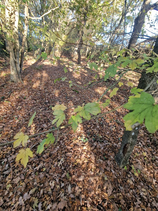
The Devil’s Ditch consist of a banked ditch, the bank being wooded mostly with Pedunculate Oak and Field Maple

The Devil Ditch forming the south boundary of the Halnaker Deer Park:

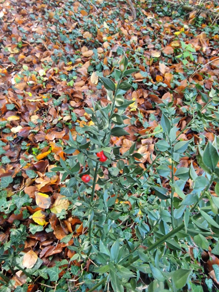
Butchers Broom in the ditch.

The bank and ditch of the Devil’s Ditch is continuously wooded mostly with Pedunculate Oak and Field Maple. Butcher’s Broom is an ancient woodland indicator species ; so the Devil’s Ditch has biological importance as well as historic importance,

The earthwork is denoted by a bank and a ditch, which grows fainter as it heads east. It runs west to east, forming a boundary at the northern edge of Redvins Copse, passes north of Oak Cottage and Stanefield house before it ends at Stane Street Roman Road. At the eastern end it forms the southern boundary to Halnaker Park. Towards the western end, the bank is about 2.5m above the bottom of the ditch, which is about 6m wide. At the eastern end, near Stane Street, the ditch is wide and shallow indicating that it may have been recut at a later date and possibly used as an early trackway.

The Devil’s Ditch in Sussex has been documented by antiquarians since at least the 18th century. It is part of a group of linear earthworks on the gravel plain between the foot of the South Downs and Chichester Harbour. The entrenchments run from Lavant to Boxgrove and appear to enclose the area of the coastal plain to the south. It has been suggested that these marked out a high status, proto-urban tribal settlement (or ‘oppidum’) preceding the Roman invasion. The Devil’s Ditch is thought to date to the Late Iron Age (about 100 BC – AD 43) but was recut and extended in places during the medieval period. The name of the entrenchment is derived from a local tradition, which holds that the ditch was the work of the devil in an attempt to channel the sea and flood the churches of Sussex. Historic England Devil’s Ditch, section extending 1730yds (1580m) from Stane Street to NW end of Redvin’s Copse

Stane Street and the Halnaker “Tree Tunnel”

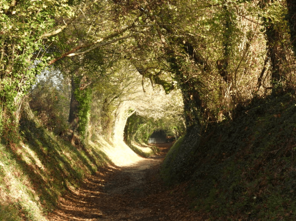
Stane Street linked London (Londinium) to Chichester (Noviomagus Reginorum); and runs through the South Downs. Stane is an old spelling of “stone” (Old Norse: steinn) which was used to differentiate paved Roman roads from muddy native trackways. At Halnaker Hill, Stane Street becomes a “tree tunnel”; which is famed on social media, with may photographs like mine below. There are far better photos of the tree tunnel than mine; just Google Halnaker Tree Tunnel and you will see them. Whilst the Halnaker Tree Tunnel is beautiful, from my experience of walking in Sussex there are far more beautiful and historically significant sunken trackways (hollow-ways) in Sussex than this tree tunnel; but for some reason Halnaker Tree Tunnel has “gone viral”; which shows how social media can distort public attention to what is important in the country side.

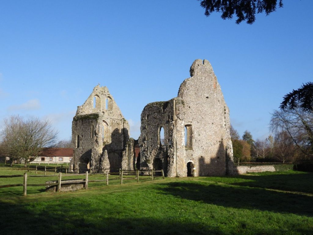
Remains of the Priory

The small Benedictine priory of Boxgrove in West Sussex was founded in about 1107, originally for just three monks. In a beautiful setting at the foot of the South Downs, the principal remains include a fine two-storey guest house, roofless but standing to its full height at the gable ends. The eastern parts of the priory church became Boxgrove’s parish church after the Suppression of the Monasteries. English Heritage Boxgrove Priory

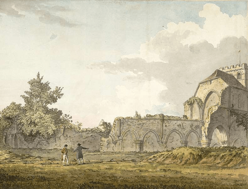
The importance of the ruins as a picturesque spectacle drew tourists, artist and antiquarians throughout the 18th and 19th century; perhaps enhanced by William Gilpin, who in the eighteenth century wrote essays that explored the picturesque as a new aesthetic concept

Starting in the 18th century, the history of the priory and its ruins attracted the attention of antiquarians and artists. The latter included Samuel and Nathaniel Buck, who in 1737 published an engraving of the church and surviving portions of the roofless monastic buildings. English Heritage Boxgrove Priory

Below, a watercolour view of the ruins of the nave of Boxgrove Priory, seen from the churchyard, by Samuel Hieronymous Grimm, 1781

Samuel Hieronymus Grimm (18 January 1733 – 14 April 1794) was an 18th-century Swiss landscape artist who worked in oils (until 1764), watercolours, and pen and ink media. Grimm specialised in documenting historical scenes and events; he also illustrated books such as Gilbert White’s The Natural History and Antiquities of Selborne. Tate Samuel Hieronymus Grimm

Priory Church of St Mary and St Blaise, Boxgrove.

For an in-depth history of the Priory and Priory Church see British History Online Boxgrove

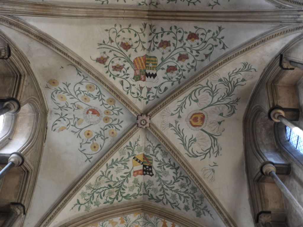
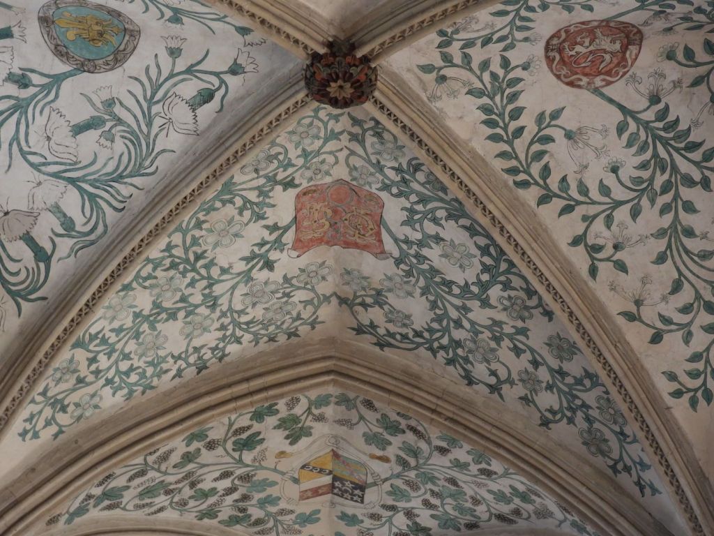
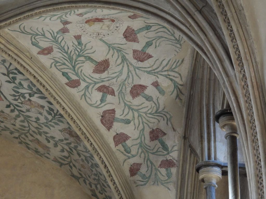
The decorations by Lambert Barnard of the choir vault and the sculpture of De La Warr Chantry are of international art-historical importance.

On the choir vault there are decorations by Lambert Barnard for Lord de la Warr (Croft-Murray p112), probably linked with his chantry.  Naturalistic foliage, interspersed with the arms of de la Warr and relatives. Sussex Parish Churches Boxgrove Priory Church. Lambert Barnard (d1567/68) did much work for Bishop Sherburn (1508-38), notably in Chichester cathedral.  Little is known of his life, but stylistically, if not by birth, he had Netherlandish links. E Croft-Murray: Lambert Barnard: an English Early Renaissance Painter, AJ 113 (1957) pp 108-25 Sussex Parish Churches Architects and Artists B
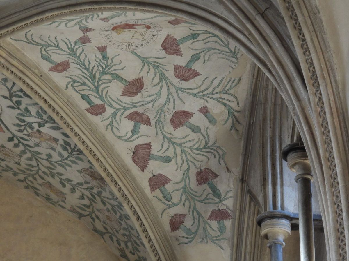
It is hard to know what particular species the flowers depicted on the C16 ceiling painting, commissioned by Thomas West, the 9th Lord de la Warr, are intended to be. They are described as  a “delightful mix” of various local plants; but I think it more likely that they are a symbolic representation of the importance of flora to Thomas Wests beliefs; with their decorative pattern being more important than close observation of actual flowers. Botanical accuracy in botanical art was a feature of 17th and 18th century still lives and botanical illustration for florae. The flowers on this 16th century ceiling were probably not meant to be accurate representations of local plants, even if they were inspired by them; they are more symbolic than representational. The symbolic religious use of flowers as symbols of God’s creation was common in medieval churches, as I reminder that all of creation praises God, and perhaps representing the Garden of God, Eden, or the beauty of heaven. Considering that 9th Baron De La Warr was expecting to be buried in this church, it is likely they he wanted them to represent his ascent into heaven.

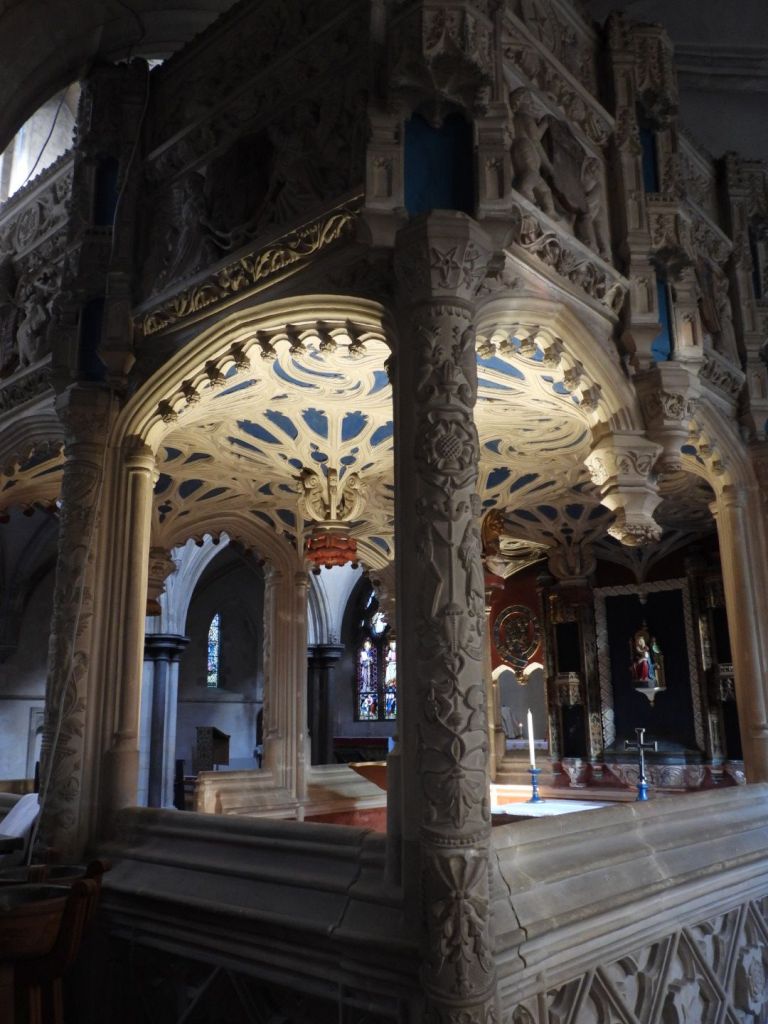
The chantry in the choir was built by Thomas, Lord de la Warr for himself and his wife between 1530 and 1535 and led to a major internal alteration.  …  [A chantry is a chapel or area within a church where a priest who would say daily masses for the donor’s soul] The chantry is more a piece of architecture than a monument in any conventional sense.  Ironically, …  de la Warr was buried at Broadwater in 1554.  This was probably because he fell out of favour and was compelled by the King [Henry VIII] to exchange the manor of Halnaker in Boxgrove for Wherwell in Hampshire in 1540 and thus had no further link with Boxgrove, …. Added to this was the abolition of chantries in 1547, which meant that by the time of de la Warr’s death this could only have functioned as a tomb. 
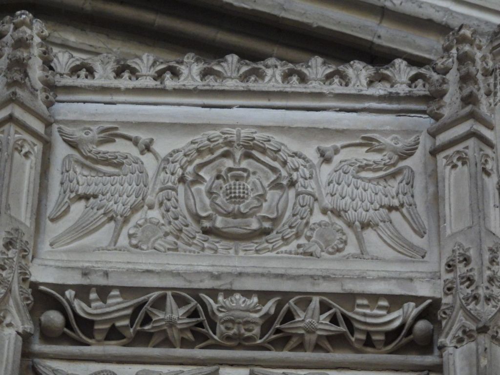
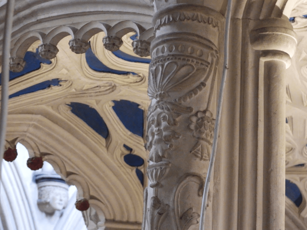
The plan is rectangular with two bays on the long sides, each with pairs of cusped arches separated by pendants, which are also present on the vault inside – the short ends have none.  The base is essentially gothic, decorated with shields within lozenges.  The upper part, especially the corner-shafts and those between the bays, is covered in Renaissance ornament of shallow incised figures and foliage, some based on Paris woodcuts of c1500  The canopy also combines such decoration with gothic elements – pairs of angels and putti hold shields with straight heraldic decoration.  Tiered niches for statues, if ever filled, are now empty.  Inside, the reredos has more empty niches, either side of a blank space intended for a carving.  Each side of the reredos is an opening, of which that to the main nave of the church served as a squint.  The purpose of the recess to the south was probably to provide symmetry.  A small opening on the south side but lower down is too small for a piscina and its purpose is uncertain.  The painted interior is mostly restored and the iron gates survive. Sussex Parish Churches Boxgrove St Mary and Saint Blaise

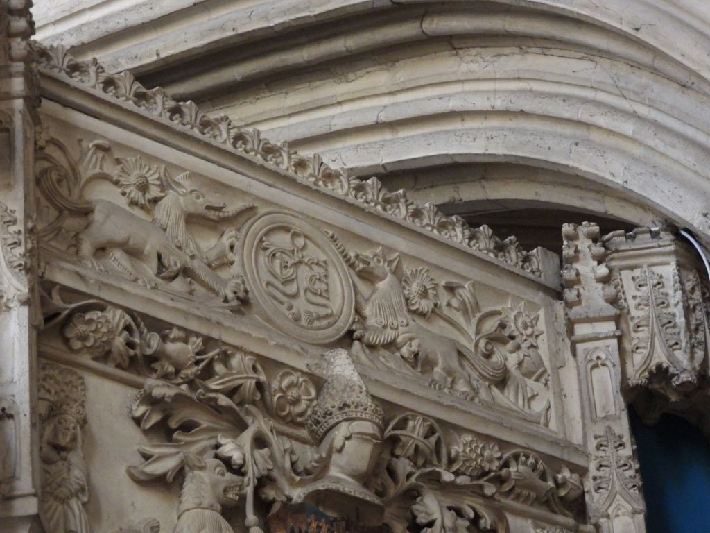
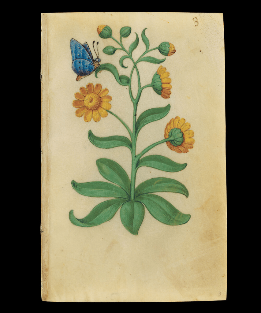
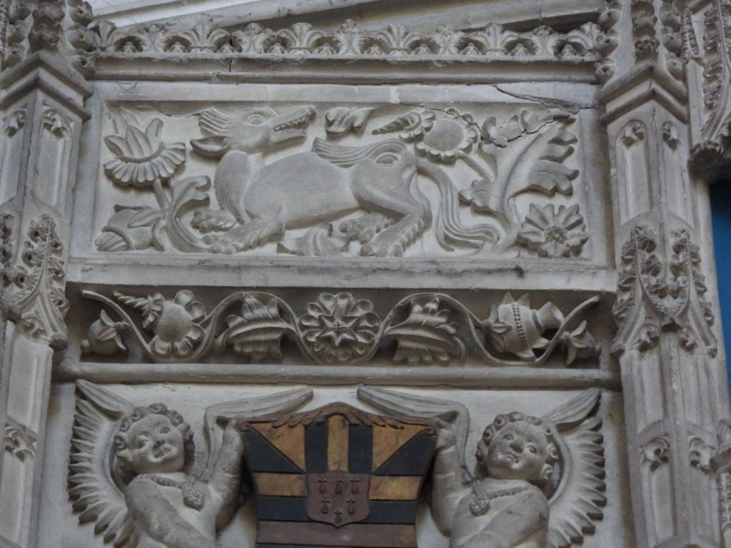
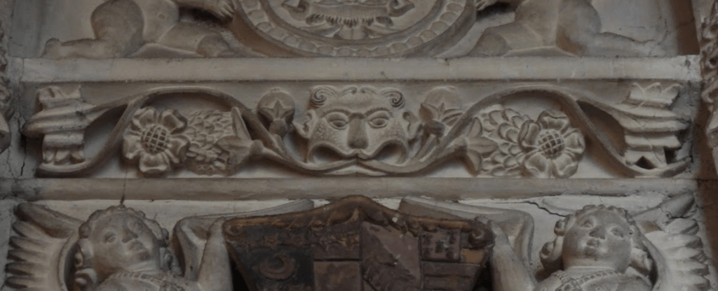
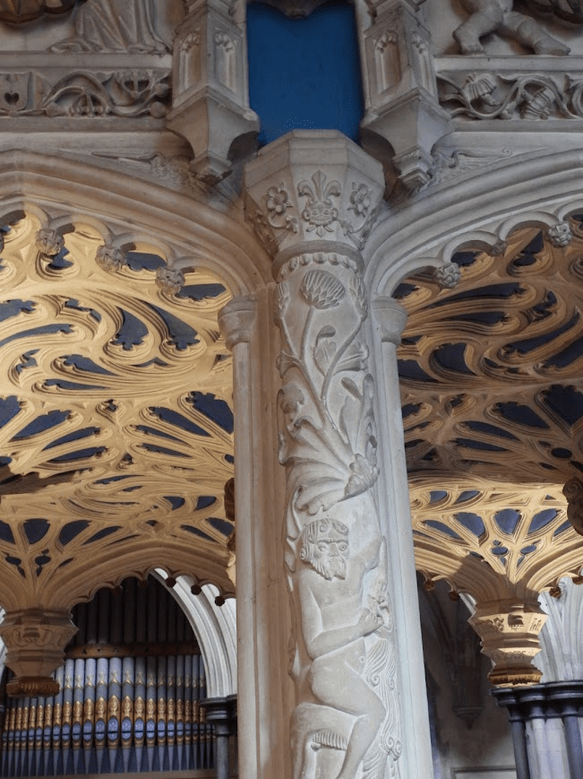
Foliage is a key aspect of the iconography of the chantry It is believed that the animals (real and fictious) come from a French Book of Hours (which one not known); but there are other sixteenth century resources that could be a source for the sculptured imagery e.g. Master of Claude de France’s Book of Flower Studies (ca. 1510–1515); some of the studies can be viewed on-line from the Metropolitan Museum of Art collection in New York see Book of Flower Studies Master of Claude de France ca. 1510–1515

The flowers above these imaginary beasts look very similar to the marigolds

in Master of Claude studies image from: https://www.metmuseum.org/art/collection/search/823979

but that does not mean that the anonymous sculpture of the De La Warr used this study as a pattern, as images of all flowers in the 16th century are very stylised; the idea could have come from many manuscripts depicting flowers

The marigold was nicknamed “Mary’s Gold” due to several legends linking it to her. One story claims that when Mary’s purse was stolen on the flight to Egypt, all the thieves found were petals, so early Christians left marigold petals around her statues as a substitute for coins. Jonathan Hoyle, Society of Arts, Medieval Natural Symbols

Heaven is often depicted as a return to the garden of Eden in Medieval and Early Modern manuscripts. So the intent of the artist in including much foliage in the chantry may have been to suggest that heaven was where Thomas, Lord de la Warr would go after death. The Tudor roses on the Chantry show Thomas’s allegiance to Henry VIII; opponents of Henry often had their earthly lives shortened by judicial or extrajudicial execution

The flowers on to the left of this beast may be chicory

they are similar to Master of Claude’s chicory. Pre-reformation church sculpture was typically polychrome, often painted painted in gaudy colours but the colour wears away over the years; the colour of sculptured plants would make it easier to assign to possible specific botanical species

The plant’s ability to thrive along roadsides in difficult, disturbed soil, coupled with its strong, deep taproot, made it a symbol of Christian perseverance and resilience in the Middle Ages. The plant’s steadfast nature, even through cold winters, linked it to the endurance of faith. Riklef Kandeler, Wolfram R. Ullrich, Symbolism of plants: examples from European-Mediterranean culture presented with biology and history of art: NOVEMBER: Chicory, Journal of Experimental Botany, Volume 60, Issue 14, October 2009, Pages 3973–3974, https://doi.org/10.1093/jxb/erp248

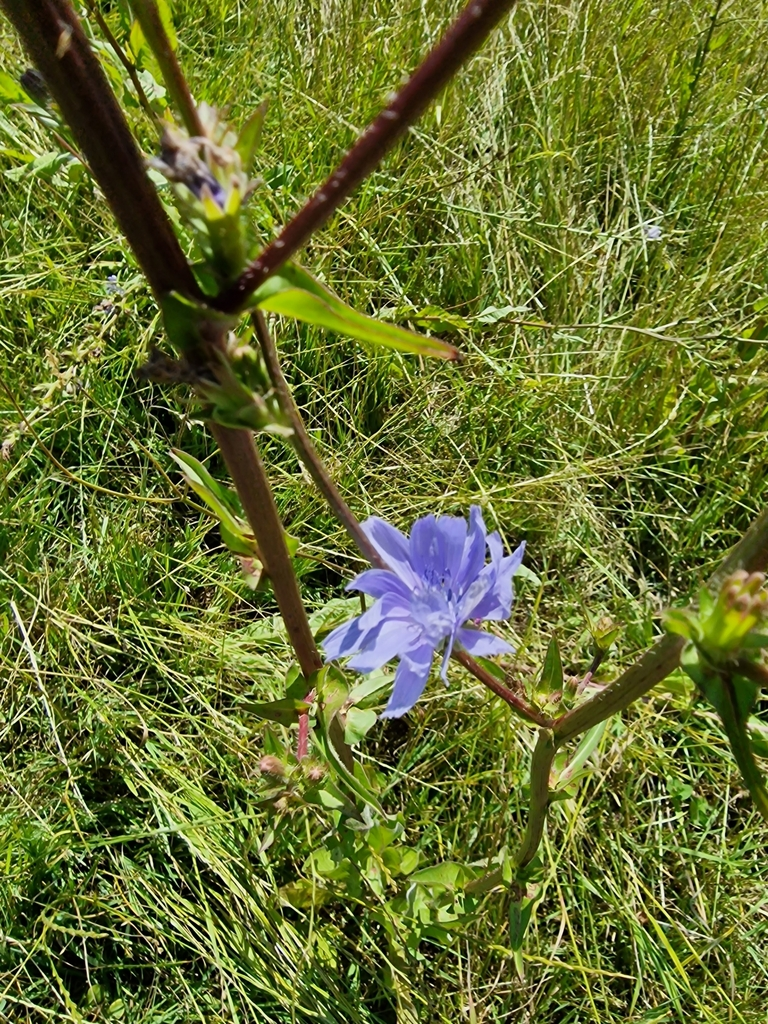
Here is some Chicory I photographed at Singleton; close by Boxgrove, in 2024. Chickweed was grown for its seed; and it is common in Sussex as a arable weed.

Though C. intybus was formerly regarded as a native, at least in England and Wales, doubt is now cast on that status in most counties, and it is almost always treated as a relic of cultivation. Historically, it was cultivated for its seed (subsp. intybus) British and Irish Botanical Society Plant Atlas 2000 It would have been common in the arable fields around Boxgrove in the C16

There are foliate heads. often called Green Men;, carved in the chantry, although the second of these images looks more like a foliate head of an animal or mythical beast. Lady Raglan only coined the name Green Men in 1939; it has no historical heritage

There is voluminous writing on the Green Man motif representing a pagan mythological figure, as proposed by Lady Raglan in 1939 Raglan, Lady. “The Green Man in Church Architecture.” Folklore, vol. 50, no. 1, 1939, pp. 45–57. doi:10.1080/0015587x.1939.9718148 but her view is not supported be the evidence. Many folklorists believe that foliate heads indicate a perseverance of pagan beliefs after the Christianisation of England. However, as De La Warr had gone to great expense to have the chantry built and have priests pray for his soul (although did not happen because of Henry VIII’s reformation) he would hardly have risked his salvation with what might have been be perceived as pagan imagery. It is far more likely that foliate heads in churches were Christianised symbols of resurrection, as I J B S Corrigan (2019) points out in The Function And Development Of The Foliate Head In English Medieval Churches. Unpublished theses, University of Birmingham accessed 30.11.25 https://files.core.ac.uk/download/pdf/323305511.pdf, which includes consideration of the Boxgrove foliate heads.

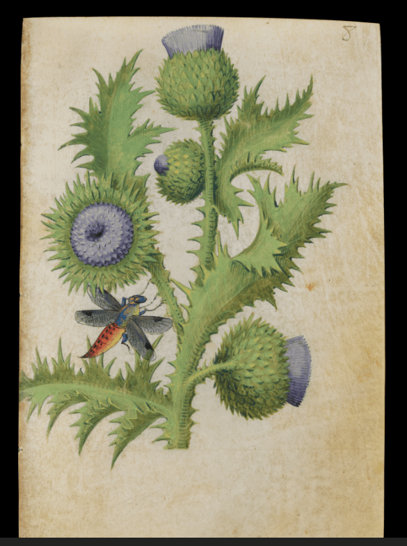
This appears to be a thistle

Master of Claud’s thistle

Thistles are associated with the Virgin Mary, It is impossible to say which form of thistle is sculpted on the Chantry but Milk Thistle, Silybum marianum, Also known as the Marian or Mary Thistle, the species name Marianum comes from the Latin and refers to a legend that the milky white streaks on the spiny leaves of this species of thistle came from the milk of the Virgin Mary nursing her child whilst fleeing to Egypt. Bolton Castle Plants

Whether the foliage painting and carvings are attempts at botanical verisimilitude or are entirely symbolic – or something in between – does not bother me – as all you need to do to enjoy the art of Boxgrove Priory Church is visit and look at its art yourself.

A Footnote

Boxgrove Priory Church not only has outstanding Renaissance ceiling painting and Chantry carving, it has some cracking lichens on its external walls, including Ingaderia vandenboomii, which is deemed a “Nationally Scarce” by the British Lichen Society. But it is not that scarce on the north walls of old (mostly Saxo-Norman) coastal churches in Sussex.

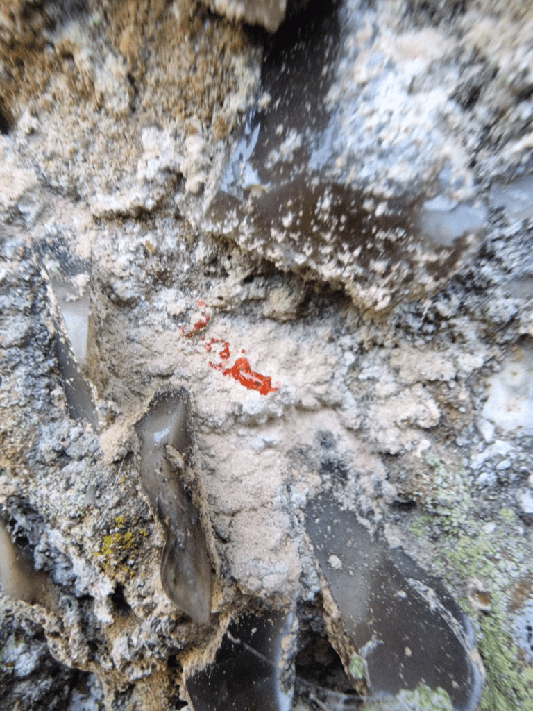
Ingaderia vandenboomii has a pink thallus i.e body (the red is a reaction to a chemical reagent spot test used to confirm its identity.

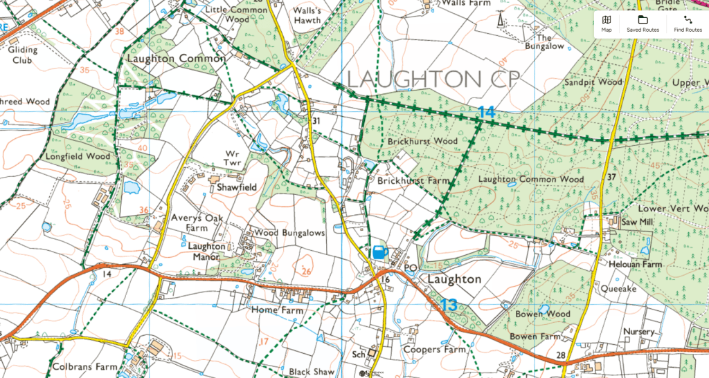
Enclosing “a plain enough case of class robbery” the Broyle. Walking along an unnamed trackway and though Longfield Wood, Laughton Common and Brickhurst Wood. 25.11.25

Today I decided to walk though Longfield Wood, Laughton Common, Brickhust Wood, Laughton Common Wood and Bowen Wood in the Broyle; but I didn’t have time in the end to visit Bowen Wood; as I spent a long-time in the unnamed trackway (probably for transporting cattle and pigs to grazing and mast (beech nuts and acorns) through which I passed. I initially thought it was just as access path to Longfield Wood. When you find something beautiful and fascinating, that you hadn’t planned and weren’t expected to see, it a real joy. I got to the Broyle of the half-hourly bus 28 from Brighton

The Boyle was both a deer park and common land, given over by the landowner to local commoner’s use (grazing, pannage, taking timber for building, firewood, and clay for making bricks)

By the second half of the 13th century further assarting [convert woodland to arable use] in the southern part of the manor was restricted, and the remaining forest there was emparked. Three deer-parks (Plashett, Ringmer and Moor Parks) were reserved to the demesne [a piece of land attached to a manor and retained by the owner for their own use] but the Broyle, although also impaled and used as a deer park, served in addition as the common for the tenants in the southern part of the manor. Its functions at this time, described in custumals [medieval documents that stipulates the economic, political, and social customs of a manor] of 1285 and 1331, included the provision of grazing for the tenants’ cattle, beech mast and acorns for their pigs, timber and daub for their houses, firewood for their hearths and clay for their pottery. The Broyle Enclosure, 1767–71 in SUSSEX ARCHAEOLOGICAL COLLECTIONS 138 (2000), 165–89. The full article can be read at: https://archaeologydataservice.ac.uk/archiveDS/archiveDownload?t=arch-285-1/dissemination/pdf/vol_138/11_Kay.pdf

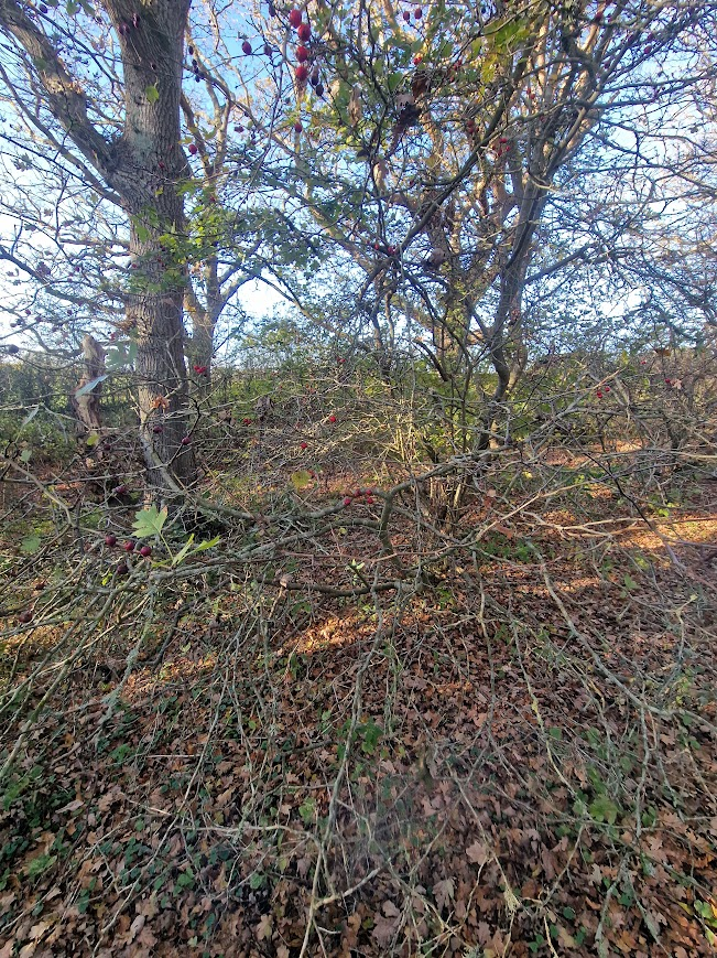
Coppiced Pedunculate Oaks, Field Maple and Midland Thorn along the Trackway

I stumbled across the trackway accidentally. I thought initially that there was a boundary bank on the east of the public footpath; then I noted that there was a trackway between that bank and another bank, further to the east, that I couldn’t seen until I walked over the bank to the right of me into the trackway.

Coppiced Pedunculate Oak is not common in Sussex; but where you see it is coppiced because it is part of a boundary.

Midland Thorn, an ancient woodland indicator species

with two pips (seeds)

Field Maples

I imagined cows and pigs going up the trackway to Longford Wood

Longford Wood

and the pasture woodland of Laughton Common

Laughton Common

There were many pools like this; probably a relict of clay removal by commoners to make bricks

The enclosure of the Broyle, a large deer-park that also served as the main area
of common land for the parishes of Ringmer, Glynde and South Malling, was
brought about by a private Act of Parliament of 1767. This was the first
Parliamentary Enclosure Act in the county of Sussex and one of the largest.
The enclosure was hotly contested and an unusual amount of background
information has survived, allowing insight into the exercise of power and
influence in this 18th-century rural community and identification of the
interest-groups promoting and opposing enclosure
. John E. Kay The Broyle Enclosure, 1767–71 in SUSSEX ARCHAEOLOGICAL COLLECTIONS 138 (2000), 165–89.

Brickhurst Wood

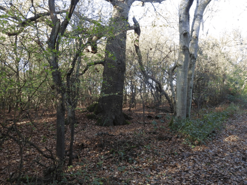
Probable named after the clay that was taken as a common right to make bricks. Track with boundary bank with Pedunculate Oak going into wood;

the boundary bank persist with Hornbeam all along the edge of the wood in the wood

Wild Cherry; ancient woodland indicator species

The impact of the enclosure.

The impact of the enclosure on the local economy must have been considerable. …old John Dicker the park-keeper found himself out of a place. John and Jane Dicker and five of their children are found in the parish workhouse in April 1771, and continued to receive parish relief through the early 1770s.62 The long established local brickmaking industry based on clay dug from the Broyle seems to have ceased forthwith and not resumed for another half-century. The brickmaker Thomas Crowhurst moved from the Broyleside Howells Bank Farmhouse to Swingate Cottage by the Plashett Park, but soon afterwards left the parish. William Wisdom tells us that his father, a Glynde carpenter, used to have his timber from the Broyle prior to 1766,64 and he and the other local carpenters and woodmen will presumably also have had to seek wood and work elsewhere after the bonanza [for the Lord of the Manner, the Duke of Dorest] of that year. John E. Kay The Broyle Enclosure, 1767–71 in SUSSEX ARCHAEOLOGICAL COLLECTIONS 138 (2000), 165–89.

E.P. Thompson called it [enclosure] a plain enough case of class robbery.  Peter Linebaugh (2014) Stop, Thief! : The Commons, Enclosures, And Resistance . pp144-145

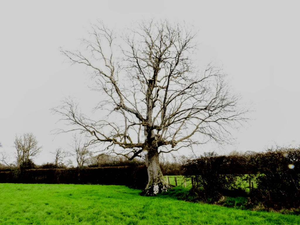
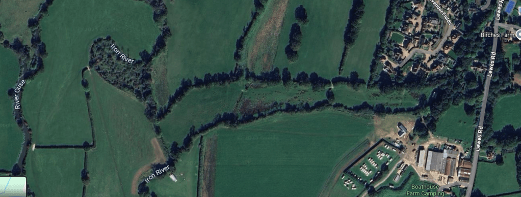
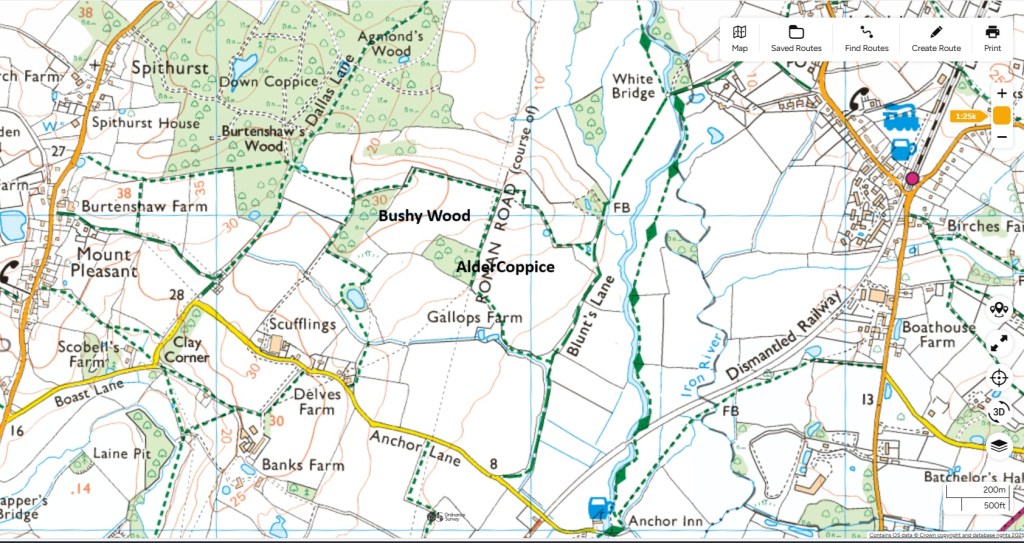
Ancient Oaks in the Low Weald. A walk along the hedgerows of Isfield to the Anchor Inn, and through Alder Coppice, Bushy Wood and Agmonds Wood. 19.10.25

Google Maps

Alder Coppice, Bushy Wood and Agmonds Wood

Explore Ordnance Survey

Nature England Ancient Woodland Map

The Brighton and Hove 29A bus from Brighton goes to Isfield once an hour.

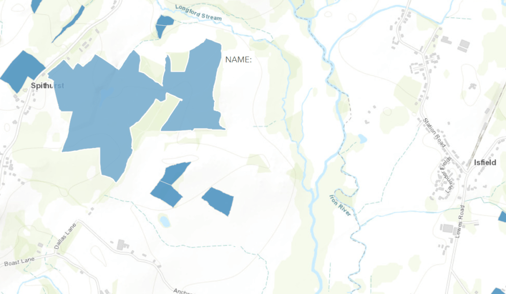
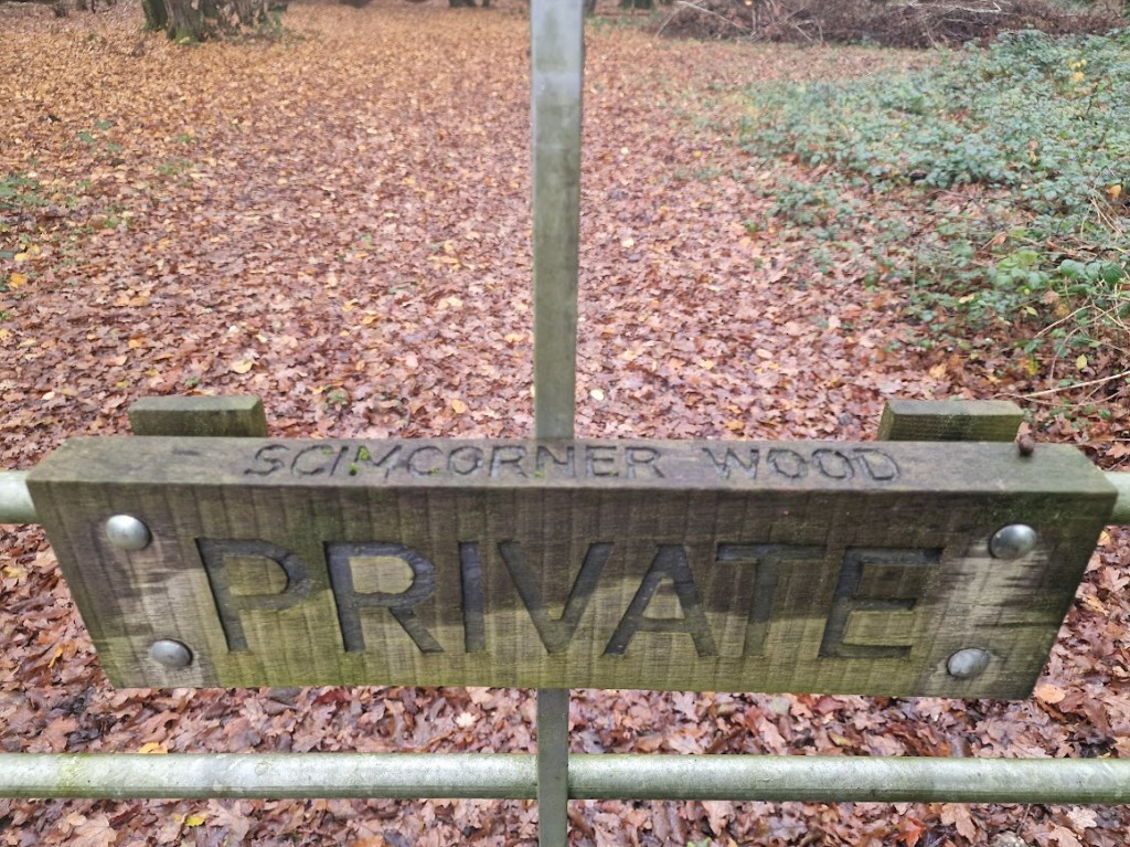
Before walking down the path to the Anchor Inn I walk past Skimcorner Wood (as named by Natural England on their ancient woodland database; but called Clay Hill Wood on the OS map)

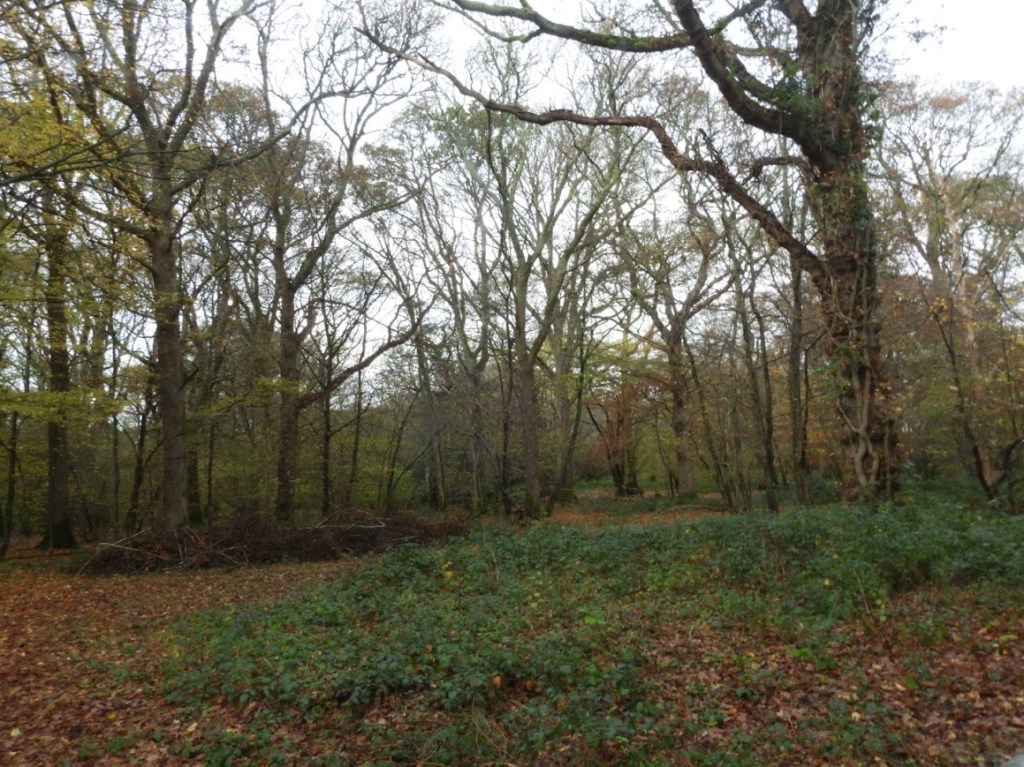
It is a private woodland, and I could only see a little through a gate; but us clearly seminatural ancient woodland with Sessile Oak and Hornbeam; an unusual combination in Sussex.

The hedgerows from Isfield to the Anchor Inn on the River Ouse

There are many large Quercus robur in hedgerows and shaws along the path to the Anchor Inn

This hedgerow at right angles to the path to the Anchor Inn has superb Oaks.

Oaks in the hedgerow of the field just before the Anchor Inn

This one had much light and many lichens.

On this tree is the rarer lichen Pleurosticta acetabulum

The Ouse and the sluice gates (flood protection) between Barcombe Mills and the Anchor Inn

West of the Ouse

Bushy Wood

Bushy Wood is very disappointing. There are some quite nice maiden Quercus robur on the South Side if the wood.

But most of it has replanted Oaks for commercial purposes. It’s designated by Natural England as Replanted Ancient Woodland

Sadly the Sutton and Newick Estates have pheasant shoots. This is a pheasant feeder. The deliterious effect of pheasant release to nature is well evidenced

In a tiny corner of this wood these beautiful hornbeams have been left.

Agmonds Wood

Here are a few maiden Pedunculate Oaks left in a sea of recently felled planted Sweet Chestnut.

A Red Kite over these Oaks at dusk

Alder Copse

Again replanted ancient woodland with a few old maidens round the edge

Gridiron planting of Pendunculate Oak. No. Alder! Horrible

Shaw between Agmond’s Wood and Alder Copse

Beautiful ancient Pedunculate Oak in this shaw

Hedgerow Oak on the bridle way back to the Anchor Inn

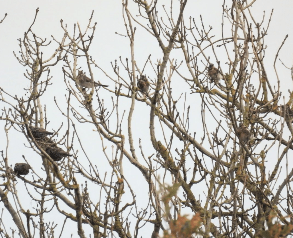
Roosting Starlings

You are much more likely to see ancient oaks in  hedgerows than ancient woodlands as the large  private owners of Sussex Estates see ancient woidland as an opportunity for cash cropping. However there are smaller average lanf owners who do try to conserve woodland, like the owner of Plashett Wood; except that is private with no public or permissive paths through it6i

Nature you can’t see. Private land, pheasant shooting, trespassing in an ancient wood and the right to roam.

I took the photos in this blog post to bring your attention to some marvellous things in nature, in Sussex, that are hidden from the public. I will not name the Sussex wood I trespassed in to take these photos.

If you go down to the woods today, you’re in for a big surprise: a third of England’s woodlands are owned by just a thousand landowners.

That’s the central finding of my new investigation into who owns England’s woods. The analysis also raises questions how private woods are used – with many of them kept off-limits to the general public in order to maintain them as pheasant shoots, despite receiving public subsidies. https://whoownsengland.org/2020/11/02/who-owns-englands-woods/ Guy Shrubsole accessed 16.11.15

The ownership of land in Sussex

Much land in Sussex is in private ownership and walking in significant amounts of that land is currently prohibited by signs denying public access; often this is associated with pheasant shooting. But pheasant shooting also effects land with public access as well as private land where shooting occurs. I recently walked through a public-access SSSI scarp-face ancient wood in West Sussex, adjoining a private wood used for pheasant shooting. I saw and heard many pheasants in this wood I was walking through. I had a lunchtime half pint of cider in the nearest pub to the wood, and in the pub there was a group of pheasant shootists there bragging (loudly) about how many pheasants they had shot. The existence of private woodland for pheasant shooting has a negative impact on much woodland – private and public.

For many years, we have been concerned with the impacts of two of the most intensive forms of shooting: driven grouse, and the high-density release of Pheasants and Red-legged Partridge for shooting. Our studies have identified that various key practices are causing particular ecological harm, with implications for both biodiversity and the climate emergency. The big issues: the illegal killing of birds of prey, the use of lead ammunition, the burning of peatland habitats and the release of millions of non-native Pheasants and Red-legged Partridges into the natural environment. RSPB The Facts about Intensively-Managed Game-Bird Shooting. RSPB The facts about intensively-managed gamebird shooting

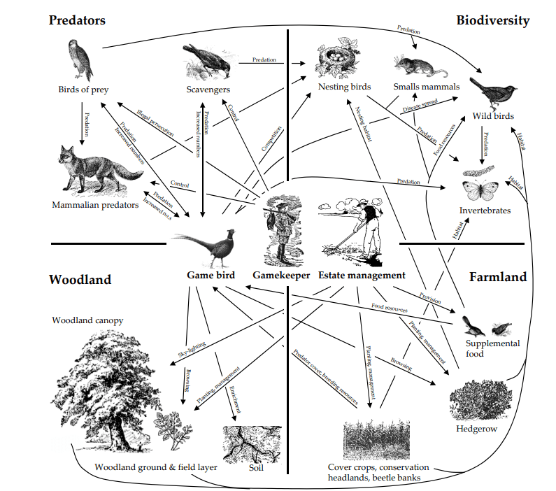
Many of the potential impacts of gamebird releasing are poorly studied and understood, and are often under-represented in the peer-reviewed scientific literature. A common theme emerging from these reviews is that the ecological impacts of gamebird releasing appear to be strongly polarised, with potential negative effects associated with the released birds (e.g. enhanced predator abundance and predation, increased disease transmission, altered habitat structure, reduced invertebrate abundance. Mason, L.R., Bricknell ,J.E., Smart, J. & Peach, W. J. (2020) The impacts of non-native gamebird releasein the UK: an updated evidence review. RSPB Research Report No, 66 RSPB Centre for Conservation Science, Sandy UK. Downloadable from RSBP Game bird shooting – laws and impact

Screenshot from Mason, et. al (2020)

Here is an indication of how much land is in public ownership in the Western (West Sussex) South Downs. Of the top five owners of land in Sussex by acreage owned, only one is a public body. (The wood that these photos were taken in is not in West Sussex). These data are from Guy Shrubsole & Anna Powell-Smith’s excellent Who Owns England: Who Owns the South Down https://whoownsengland.org/2018/02/16/who-owns-the-south-downs/ accessed 16.11.25

1) Viscount Cowdray – Cowdray Estate: 16,500 acres

 … the current 4th Viscount Cowdray … has donated £65,000 over the past decade to UKIP, the Conservatives and Vote Leave …

2) Duke of Norfolk – Arundel & Angmering Estates: 16,000 acres

… “Since William rose and Harold fell, / There have been Earls at Arundel.” So reads a plaque in the shadow of the magnificent Arundel Castle, stronghold of the Earls of Arundel, whose proximity to power down the centuries eventually also earned them the Dukedom of Norfolk. ..

“When the 15th Duke stood on the battlements of his newly repaired keep in 1910, he would have had the satisfaction of knowing that almost everything he could see in all directions belonged to him.” Although the Ducal estate is thought to have diminished in size since then, it is still… The Estate’s origins go back to the Norman Conquest.” 

3) National Trust properties across the South Downs: 15,151 acres

4) Baron Leconfield (Lord Egremont) – Leconfield (Petworth) Estate: 14,000 acres

…his family estate also includes 3,000 acres in Cumbria ….

5) Duke of Richmond – Goodwood Estate: 11,500 acres

As the [Independent, Sean O’Grady Thursday 30 July 2009. Earl of March: A glorious example of the landed classes; says [The Duke of Richmond] has “leverage[d] Goodwood’s formidable competitive advantages – the things that cannot be replicated elsewhere (except by other landed families, presumably): vast (and beautiful) space and a magnificent stately home”. But these modern businesses depend on owning land inherited down the centuries: “Even if they wanted to, it is difficult to imagine any company, oligarch or Middle Eastern princeling acquiring such an enormous chunk of southern England [nowadays].”

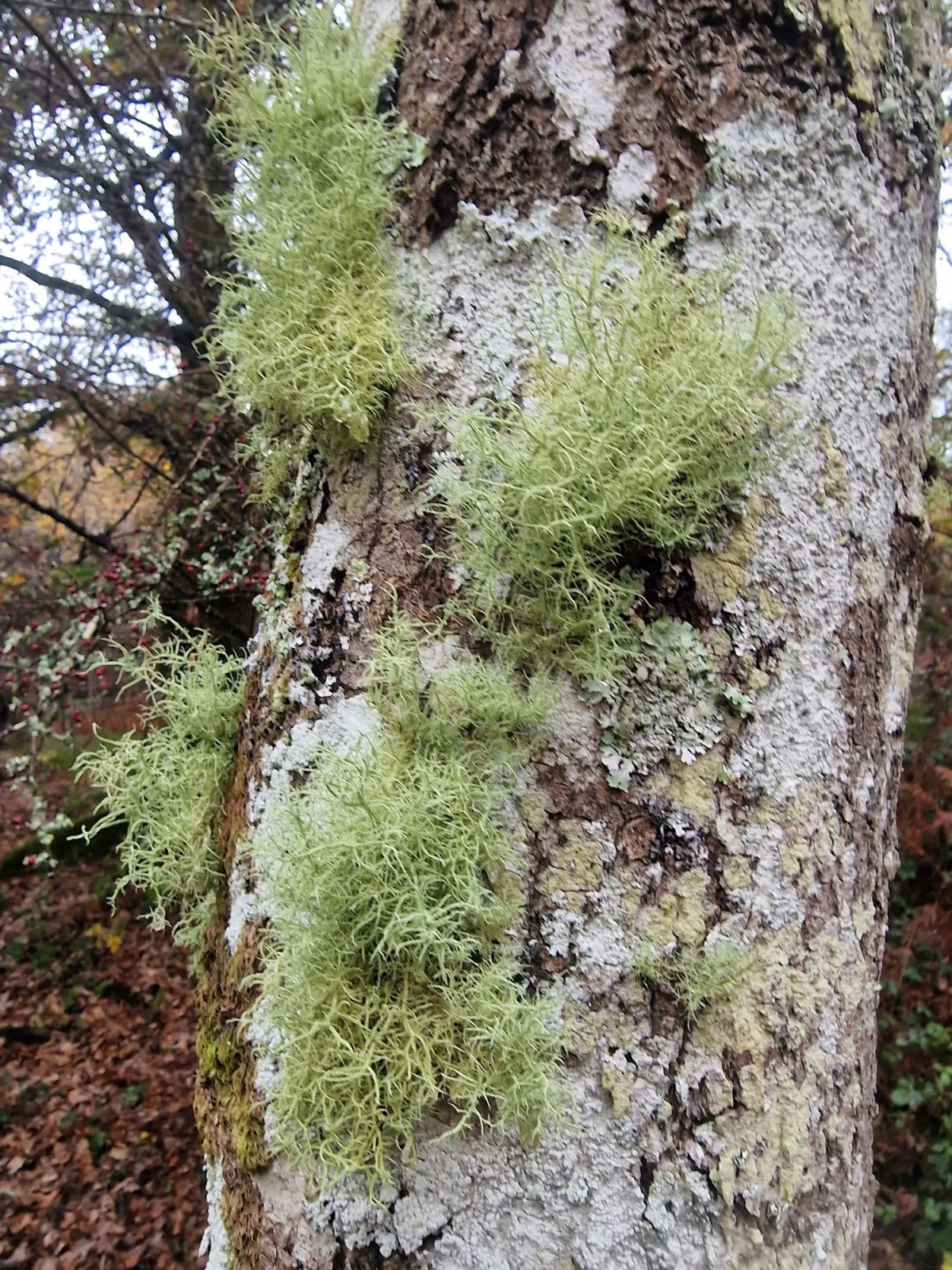
I have trespassed in an SSSI wood owned by one of the above, which the public are denied access to. It has outstanding and rare natural heritage, including this Usnea articulata String-of-Sausages Lichen, extremely rare in Sussex. This wood is regularly used for pheasant shooting. As I was walking around it I saw dead pheasants that had been left on the ground from a hunt of a few days before.

In an ideal world land would not be owned by individuals; but in the absence of a change to the ownership of land, I believe:

(1) there should be a right to roam on private land, as set out by the campaign The Right to Roam / About / What we are campaigning for (accessed 16.11.25)

(2) the ownership of land should be taxed through a Land Value Tax, see: Labour Land Campaign What is Land Value Tax (accessed 16.11.25)

I am not urging you to trespass. If you choose to trespass, please follow the guidelines from the Right To Roam that are cited at the end of this post

The wood that I trespassed a few days ago and its natural wonders

This woodland is a Site of Special Scientific Interest that is believed to have been continuously wooded since medieval times. The wood’s soil is clay; and the wood is dominated by sessile oak, pedunculate oak, hornbeam and hazel with some ash and alder, with an understory of holly and bramble. The hornbeam and hazel have been previously coppiced. The sign on the gate as well as saying the land is private warns of shooting occurring in the wood.

The rides are lined by goat willow, aspen, blackthorn, hawthorn and silver birch

There is a boundary bank and ditch planted mostly with coppiced hornbeam, that exactly follows the parish boundary shown on the OS map

Honrbeam

Sessile Oak and Hornbeam

Graphidaceae family lichen possibility Graphis scripta on a Hornbeam

Sessile Oak in “tall forest” woodland

Hazel

Holly

Sessile Oak, with a sheet of the lichen Dendrographa decolorans on the dry side of the tree

Sessile Oak leaf on the base of the tree above

The lichens Lecanactis abietina (an old tree lichen) and a Chrysothrix sp. (Gold Dust Lichens) on a Sessile Oak

Coppiced Hornbeam

Clouded Funnel fungi

Sessile Oak

Bark Barnacle Lichen on Sessile Oak

Brnacle lichen is found mainly on the bark of living trees in ancient woods, and it is indicative of longstanding woodland conditions. Woodland Trust Bark Barnacle Lichen

Sessile Oak covered in Usnea cornuta

Parish boundary bank with coppiced Hornbeam

A recently pollarded young Hornbeam – showing continuity of ancient woodland management practices

Coppiced Hornbeam

A Hornbeam with a range of Pertusaria spp. Hornbeams often have many genus Pertusaria and family Graphidaceae

Lepra (formerly Pertusaria) amara, Pertusaria pertusa and Pertusaria leioplaca. Terrestrial molluscs love eating the apothecia of Pertusaria. L. leioplaca seems their favourite; it must be their caviar.

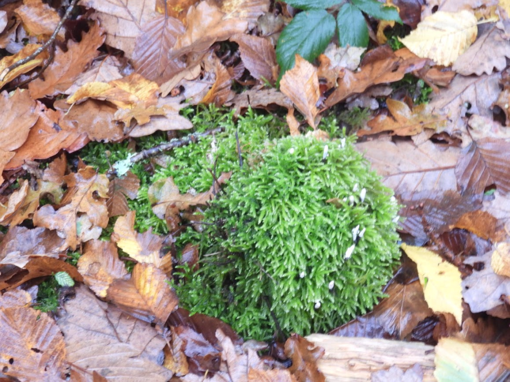
Ball of Common Striated Feathermoss with Candlesnuff fungus,

Pedunculate Oak

Alder by a stream

Ash

Wild Privet

From Right To Roam:

You’ve all seen signs claiming ‘Trespassers Will Be Prosecuted’.  They’re a lie. 

In the UK, ‘trespass’ is a civil offence, provided you don’t infringe certain conditions. You cannot face criminal prosecution simply for being on someone else’s land without permission (or away from a designated Right of Way, open access land or land where any bylaws permit public access). The dispute is solely between you and the landowner, and the police cannot get involved.

That landowner could theoretically take you to civil court. But they’d have to know who you are, and it would most likely be a waste of their time.
 
Likewise, any ‘damages’ would have to be proportionate to the damage you’ve caused, which if you follow our principles of trespass below, should be zero.

However, the legal situation changes if you do any the following when trespassing on land: 

  • Cause damage to property
  • Disrupt lawful activity
  • Conduct yourself in a threatening or abusive fashion
  • Bring a vehicle, intending to reside & cause damage
    • Enter land with special restrictions* (see below)

 That would be classed as ‘criminal trespass’, which is a criminal offence, leaving you potentially subject to police enforcement. 

*Important Note: there are certain sites with special trespass designations which do make your mere unauthorised presence a criminal offence. The penalty for violation can be serious. Mostly, these are common sense. Avoid military sites, essential infrastructure (e.g. railways, airports, nuclear facilities) and stay away from the sorts of places the King might be having a cup of tea (or the Prime Minister hosting an illegal party).

Right to Roam follow some key principles when accessing land without permission. We do not condone actions which break these rules, as these will simply undermine our campaign.

  • Take responsibility for your own actions
  • Respect people’s privacy, domestic property and gardens
  • Don’t walk where crops are growing (stick to field margins or use alternative routes)
  • Avoid places that don’t feel like open countryside (e.g. have buildings or machinery)
  • Respect livestock and other animals kept on the land such as ponies and horses (i.e. avoid closed paddocks). Remember that cattle – especially bulls or cows with calves – can be dangerous 
  • Care for nature (avoid fires, wildlife disturbance or damage to flora)

Since civil trespass (i.e. simply existing on land) is not a criminal offence it is especially important that it does not become associated with criminal activity. Damage nothing. Disrupt no lawful activity. Peacefully enjoy what you came to experience.

Voices from the seventieth century

The gentrye are all round stand up now, stand up now
The gentrye
are all round stand up now
The gentrye are all round on each side the are found
Their wisdom so profound to cheat us of our ground
.

The Diggers Song, Gerald Winstanley, 1650 True Levellers (Diggers)

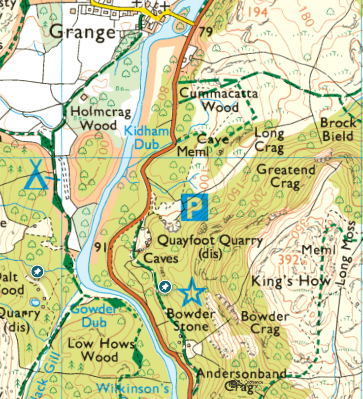
Lichen, bryophytes and vascular plants in Johnny Wood & Bowder Stone Wood (Borrowdale Rainforest NNR) and Cummacatta Wood. 06.11.25

At last the bus 78 to Seatoller was running after the road flooding had subsided! I could visit the woods at the south of the Borrowdale Rainforest NNR that I had intended to visit on 03.10.25

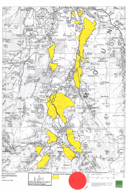
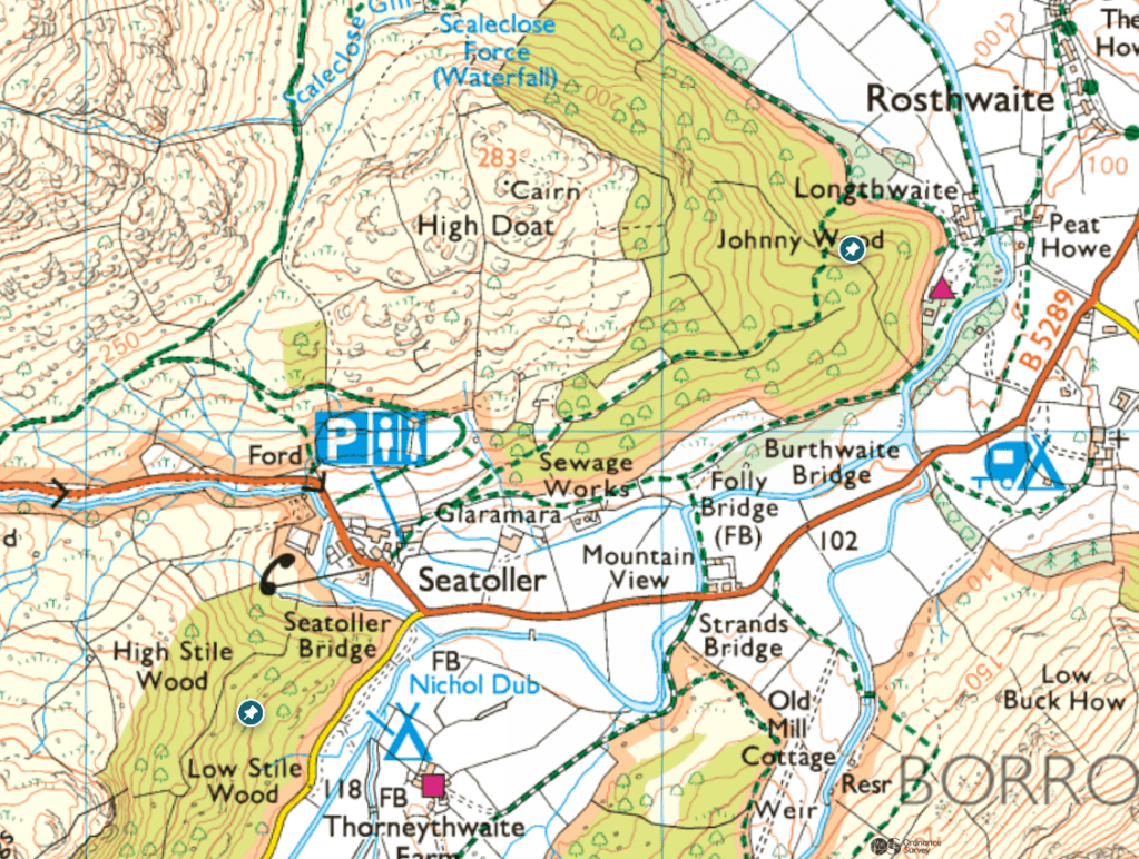
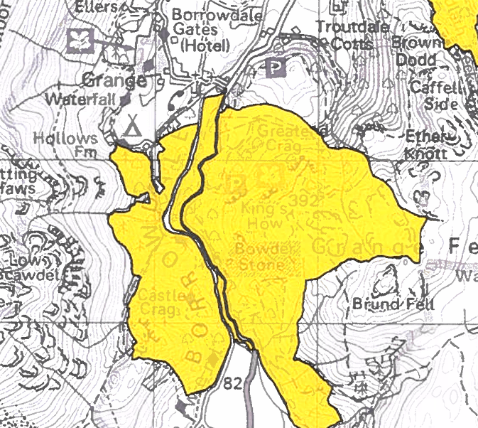
Getting off at Seatoller, I decided to visit some of southernmost woods of the NNR: High Stile and Low Stile Woods; named as “Seatoller Wood” on the Natural England map of ancient woodland, . When I got to these woods they were fenced off with “private” signs, despite them being marked as public access land on the OS map. As I said in my post of 03.11.25, I had had to do lots of research to find where the constituent parts of the NNR are. The National Trust website on the NNR doesn’t have a map of the NNR, and there is no Natural England visitors’ guide, as there is for other NNRs. There is also no information on which parts of the NNR have public access and which don’t. The only way to find out whether or not there is no public access is to visit the woods and find out for yourself, when you have found out where the constituent woods in the Borrowdale Rainforest NNR are.

The only way I found out where the constituent woods of the NNR were, was by looking at the declaration of NNR map on the government’s website. I then had to cross reference this map with the OS map to find the names of the constituent woods of the NNR.

I support the right to roam (visit Right To Roam) but in the absence of a right to roam, the very least public bodies administrating NNRs should do is to tell the public where parts of NNRs are and which can be visited

High and Low Stile Woods from Johnny Wood

Johnny Wood

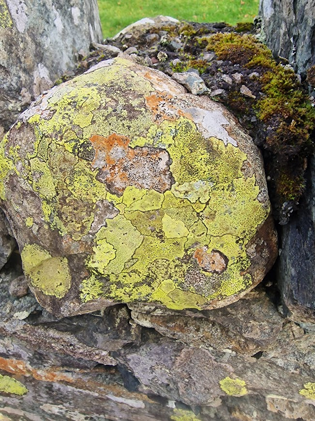
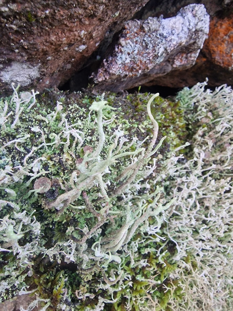
Lichens on a dry stone wall at the beginning of the wood

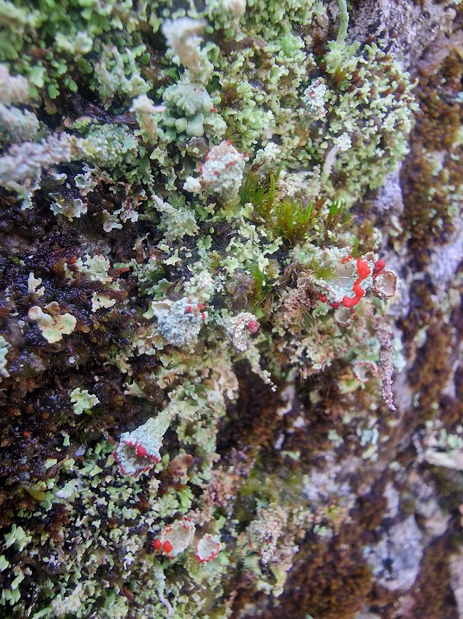
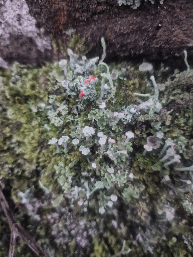
Probably Cladonia polydactyla, with bright red apothecia (fruiting bodies) on the edges of its cups; growing with/on moss

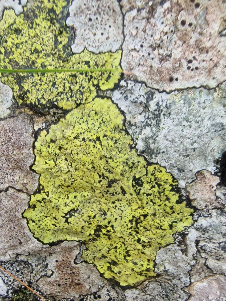
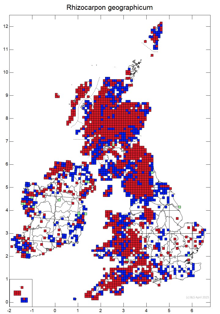
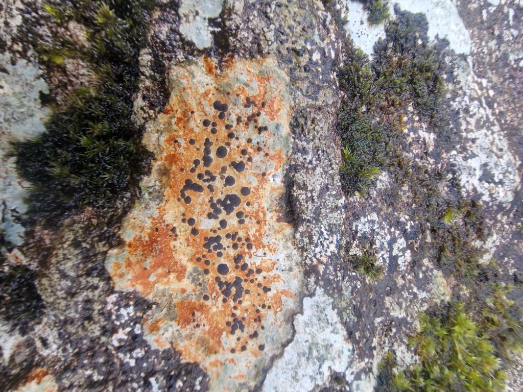
Rhizocarpon geographicum (green and black) in a mosaic with Lecidea lithophila (white thallus with red tinge and black apothecia) and an other lichen

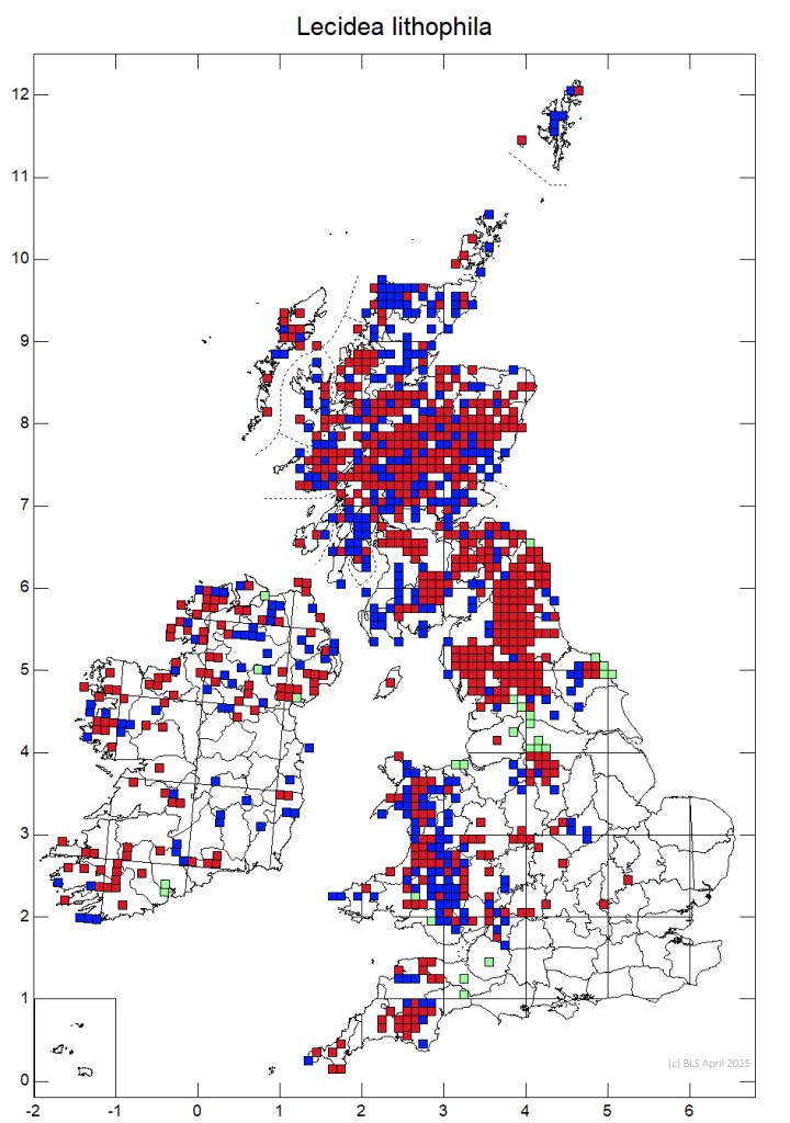
Rhizocarpon geographicum and Lecidea lithophila are extremely common in Borrowdale; in Sussex (where I live) Rhizocarpon geographicum is rare, and restricted to church yards, Lecidea lithophila is non-existent in Sussex. North-West lichen enthusiasts are probably not that excited by seeing these lichens but as a Southerner seeing these was very interesting.

Distribution Maps (British Lichen Society) Lecidea lithophila & Rhizocarpon geographicum

Lecidea lithophila

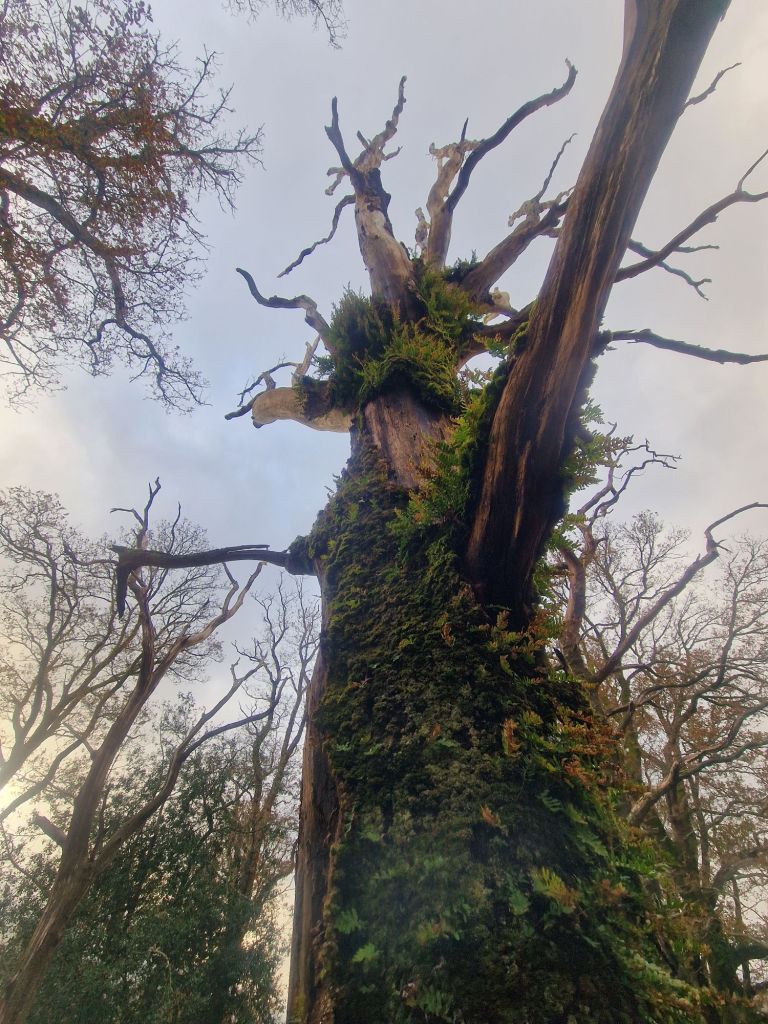
A dead Sessile Oak

which reminded me of the Statue of Liberty

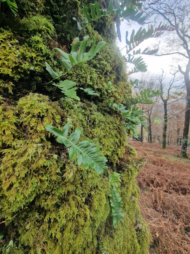
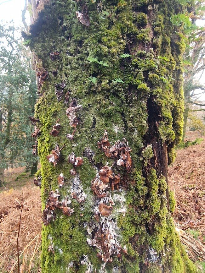
The trunk of this tree is still a viable substrate for epiphytes (because epiphytes take no nutrition from their substrate) including mosses, polypody ferns and lichens

Polypody fern

Physalacriaceae family fugus on tree

Physalacriaceae spp. are saprobic; i.e. they obtain nutrients by breaking down dead and decaying organic matter, serving a useful ecological function

This rocky bank as covered in mosses

A sphagnum moss probably Sphagnum palustre was at the top of this bank.

The demonstrated the difference between habitat in the south (where I live) & the north-west temperate rainforest. Sphagnum palustre in Sussex is found in bogs and wet flushes with a supply of water from springs or streams. In Borrowdale, it is also at the top of this rocky mound because it rains a lot ; in the south, it doesn’t rain enough for that.

Seathwaite, Borrowdale: This village is the wettest inhabited place in England, receiving around 3,500 mm (138 inches) annually. Visit Cumbria Weather in the Lakes

The average annual precipitation in Sussex is around 914mm (36 inches) Climate Data Sussex

Scleroderma citrinum Common Earthball

Mossy boulders

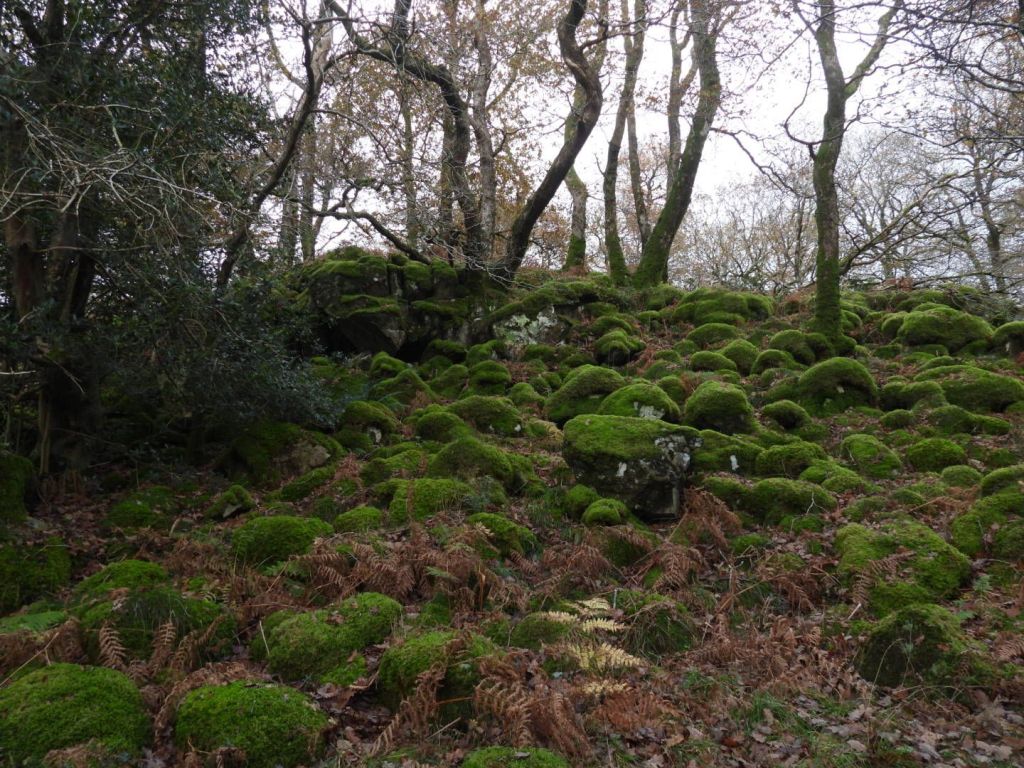
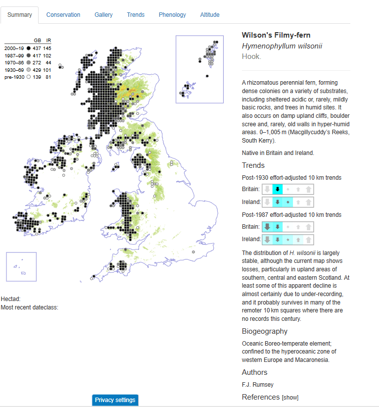
In Johnny Wood, Wilson’s Filmy-fern can be found. I have never seen it. So I explored likely filmy-fern outcrops to try and find it.

Filmy Ferns are characteristic of temperate rain forest

Wilson’s Filmy Fern has a similar distribution to Tunbridge Filmy Fern

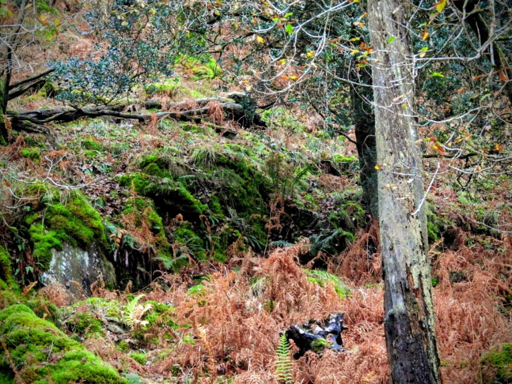
Following my success in finding Tunbridge Filmy Fern in the High Weald (an outlier population in the of Sussex  where the These unique geological features of the High Weald produce create a localized, hypo-oceanic microclimate that supports plant species typically of western Atlantic woodland), I explored rock outcrops like those ones I have seen Tunbridge Filmy Fern on for Wilson Filmy Fern, like this one:

But when I climbed up to this rocky outcrop below, I “only” found common bryophytes e.g. White Earwort & Tamarisk Moss. But many “common” bryophytes are beautiful. I saw no Wilson’s Filmy Fern in any of the rock outcrops I explored.

White Earwort

 Common Tamarisk-Moss

But as I have said before, I am never tire of seeing common beautiful things.

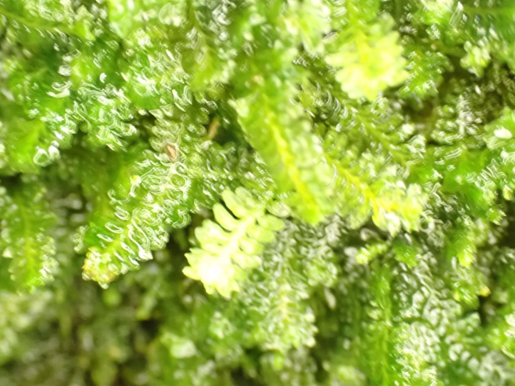
Here is some Tunbridge Filmy Fern I saw in Sussex to give you an idea of what Filmy Ferns look like!

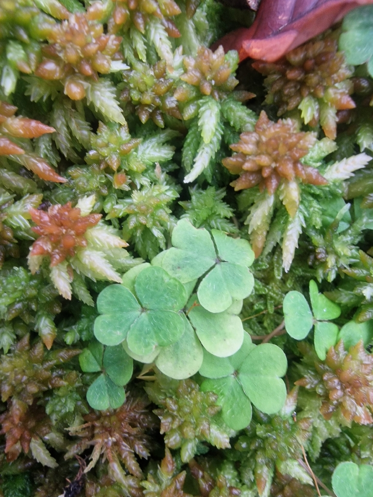
The leaves of Wood-Sorrel, an ancient woodland indicator species, growing though Sphagnum palustre

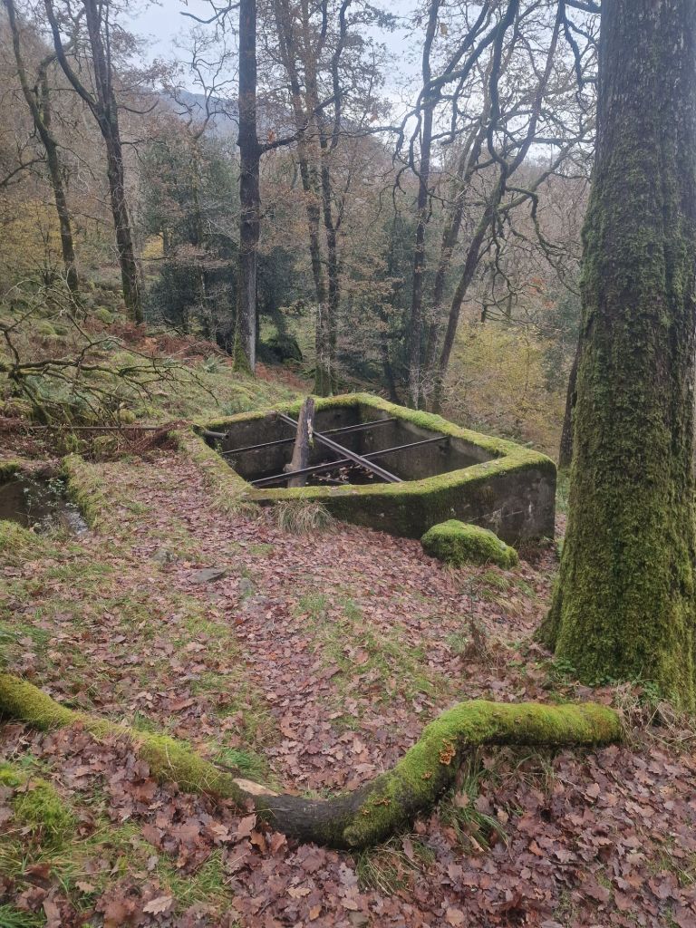
Concrete water reservoir. Ancient temperate rainforest woods in the UK are not untouched by human intervention. Most have always been part of living, changing landscapes formed by human-nature interaction.

Waling along the River Derwent from Johnny Wood to the Bowder Stone

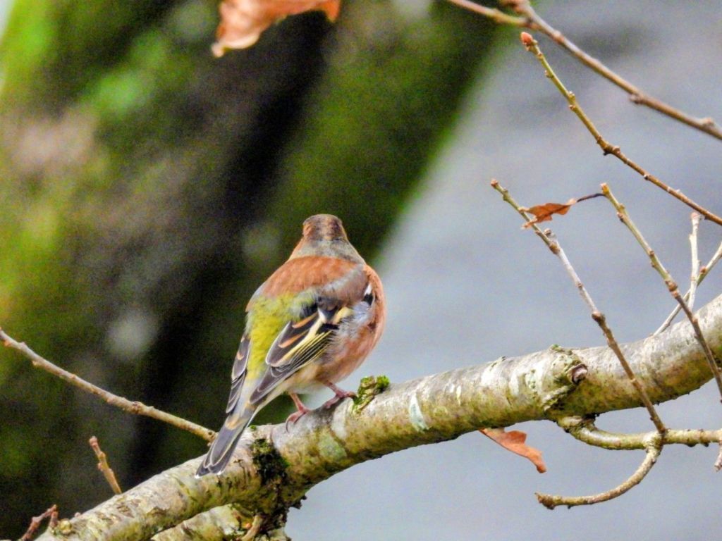
Walking along the Derwent I saw many birds, including this gorgeous juvenile Chaffinch

I also saw two White-throated Dippers dipping the Derwent for food. Both of them were quicky gone so I was unable to get a photo of them

Here is a Dipper I saw in the River North Esk south of Edinburgh in 2023

It is always a thrill to see Dippers

Witch’s Broom – Taphrina betulina (a fungal gall that effects the tree’s growth)

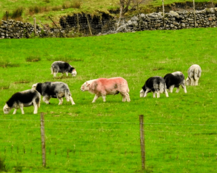
Herdwicks!

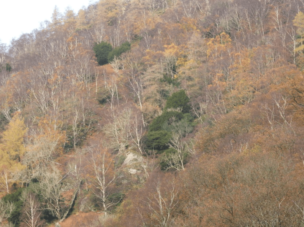
Not all of Borrowdale is Atlantic Oakwood; there is also much secondary woodland. Looking up from the valley, I could see Secondary Beech plantation

and Pine plantations

As Guy Shrubsole says: the Atlantic Oakwoods of Borrowdale remain fragmented and under pressure National Trust Borrowdale NNR . Which makes it all the more important that the National Trust and Nature England point out to the public which fragments are Atlantic Woodland (Temperate Rain Forest)

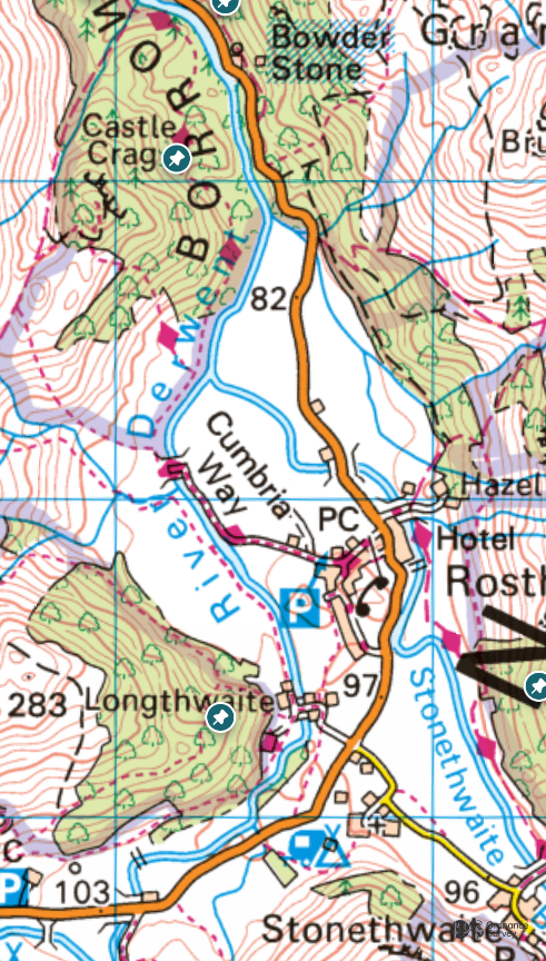
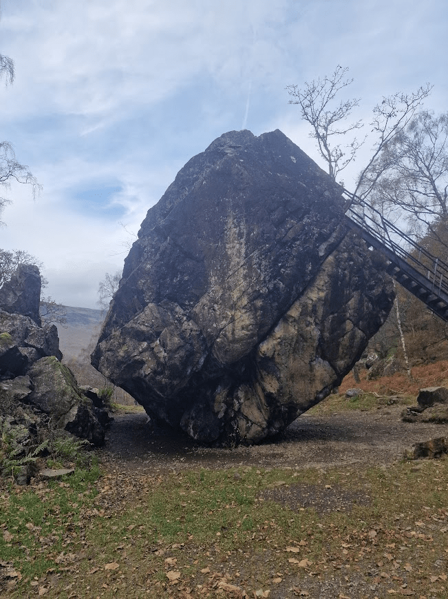
Bowder Stone

In the valley of the river Derwent, in Borrowdale, just north of Rosthwaite in a woodland clearing on the opposite side of the road from the river, stands a huge glacial boulder shaped like a human head that is one of several Cumbrian curiosities and, which has locally been called The Bowder Stone or Balder’s Stone, after the son of the Norse god, Odin (Woden). This ice-borne rock was carried down the valley by a glacier many thousands of years ago and deposited, having been trapped and then dislodged between the two side-slopes of the river valley. The Journal Of Antiquities The Bowder Stone, Rosthwaite, Cumbria

  • The boulder would have nestled deeply in the forests that covered the Lake District after the last ice age – the original ‘wildwood’ that predated human habitation in the Lakes. It stood unmoved through the coming of the people who built the Iron Age hillfort on Castle Crag, the Norse who created the many clearings or ‘thwaites’ along the valley for grazing, and the traditional woodland industries which coppiced and harvested the timber for firewood, building materials and leather tanning.
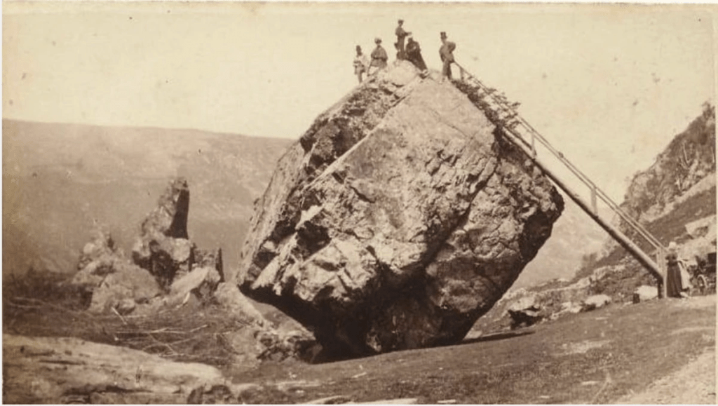
  • Two hundred years ago, the Bowder Stone was one of the most prominent landmarks in the valley – a huge boulder that awed visitors with its sheer size and mass that stood out against the sky as the road wound towards it .Balanced improbably on one edge, it was popular with Georgian tourists for the ‘pleasurable terror’; they enjoyed wild, romantic scenery and the frisson of experiencing danger from a safe distance. National Trust History on the Borrowdale Valley

Photo of Bowder Stone in nineteenth century from the Borrowdale Story – Geology

The area around the Bowder Stone is now designated by Nature England and the National Trust ancient (oakwood) rainforest; but the immediate area around the stone has clearly not been continuously wooded

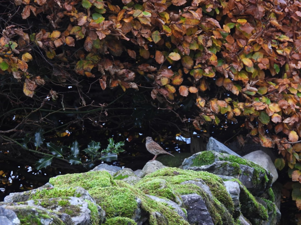
Dunnock on dry stone wall.

A Sessile Oak with “white” bark from a distance

The white bark is probably lichens of the Mesic bark community (the
Pertusarietum). I am very used to this community, as it is common in the south, especially in parkland trees and trees at the edge of woods. I thought it unusual to see this in the Lake District but I did some research and found that whist it is largely southern community in the UK, …. [there is] a very important stronghold in the Lake District Plantlife: Lichens and Bryophytes of Atlantic Woodland in the Lake District

More Rhizocarpon geographicum and Lecidea lithophila on a rock. Whilst I had never come across Lecidea lithophila until Monday, by Thursday I could recognize it at 50m away

Lots of Silver Birch, Beech and Yew above the Bowder Stone

The National Trust says of Borrowdale Rainforest NNR: The Borrowdale Oakwoods are one of England’s largest remaining pieces of temperate rainforest that once spread from the north of Scotland down the west coast of England, Wales and Ireland and are part of a long standing cultural landscape

And these Silver Birch, Yew and Beech woodland are within the NNR that is described as Oakwood. But Oakwood is not all Oak

Upland oakwoods are characterised by a predominance of oak (most commonly sessile, but locally pedunculate) and birch in the canopy, with varying amounts of holly, rowan and hazel as the main understorey species. The range of plants found in the ground layer varies according to the underlying soil type and degree of grazing from bluebell-bramble-fern communities through grass and bracken dominated ones to heathy moss-dominated areas. Many oakwoods also contain areas of more alkaline soils, often along streams or towards the base of slopes where much richer communities occur. Elsewhere small alder stands may occur or peaty hollows covered by bog mosses Sphagnum spp. These elements are an important part of the upland oakwood system. The ferns, mosses and liverworts found in the most oceanic of these woods are particularly rich; many also hold very diverse lichen communities. Buglife Upland Oakwood

Cummacatta Wood

Cummacatta Wood is, to me, of very high biological interest (with sparse ancient trees and bog), is not in the designated NNR area, although it is probably of more biological interest than some of the woodland around the Bowder Sone which is in the Borrowdale Rainforest NNR. The danger of having an NRR that is described as a rainforest NRR is that biologically important areas that are not rainforest are not offered the protection that being part of a National Nature Reserve

Cummacatta Wood has a physical sign saying it is a National Trust property; however there is no information about it online from the National Trust or any other organisation except for one mention of the wood in a hiking apps.

It is not in the Borrowdale Rainforest NNR but it is in the geographical area of the Lodore-Tri0ttdale Woods SSSI. Although it is not mentioned in its SSSI specification by name; the sentence The site includes a number of interesting non-wooded habitats. Species-rich flushes may include Cummcatta Wood; although it is partially wooded!

The Borrowdale Rainforest NNR according to Nature England contains a number of SSSIs
Armboth Fells SSSI
; Castlehead Wood SSSI; Great Wood SSSI; Hollows Farm Section SSSI; Johnny Wood SSSI; Lodore – Troutdale Woods SSSI; River Derwent and Tributaries SSSI; Rosthwaite Fell SSSI; Seatoller Wood, Sourmilk Gill & Seathwaite Graphite Mine SSSI; Stonethwaite Woods SSSI and The Ings SSSI. The relationship between these individual SSSIs and the legal entity Borrowdale Rainforest NNR is very unclear beyond Natural England says the Borrowdale Rainforest NNR is Legally underpinned by these SSSI

Despite the deafening silence of the internet on Cummacatta Wood of its biological nature, I found it charmingly beautiful and full of biological interest. I have walked through Johnny Wood, the woods around the Bowder Stone and Cummacatta Wood just once and I wasn’t long in any of these areas; so my views on their interest is very impressionistic. I almost certainly missed many interesting species of lichens, bryophytes and vascular plants!

Cummaccatta is sparsely wooded with Sessile Oak, Silver Birch, Hazel, Yew, Juniper and Ash.

Here the beautiful and common (in North West Atlantic Woodland) liverwort Frullania tamarisci

A twisted Sessile Oak

Yew

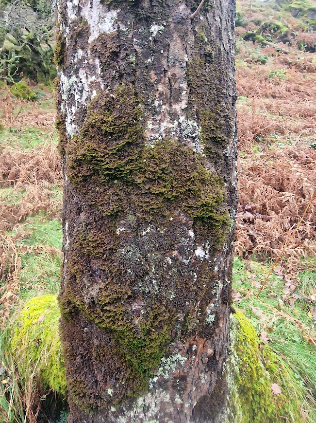
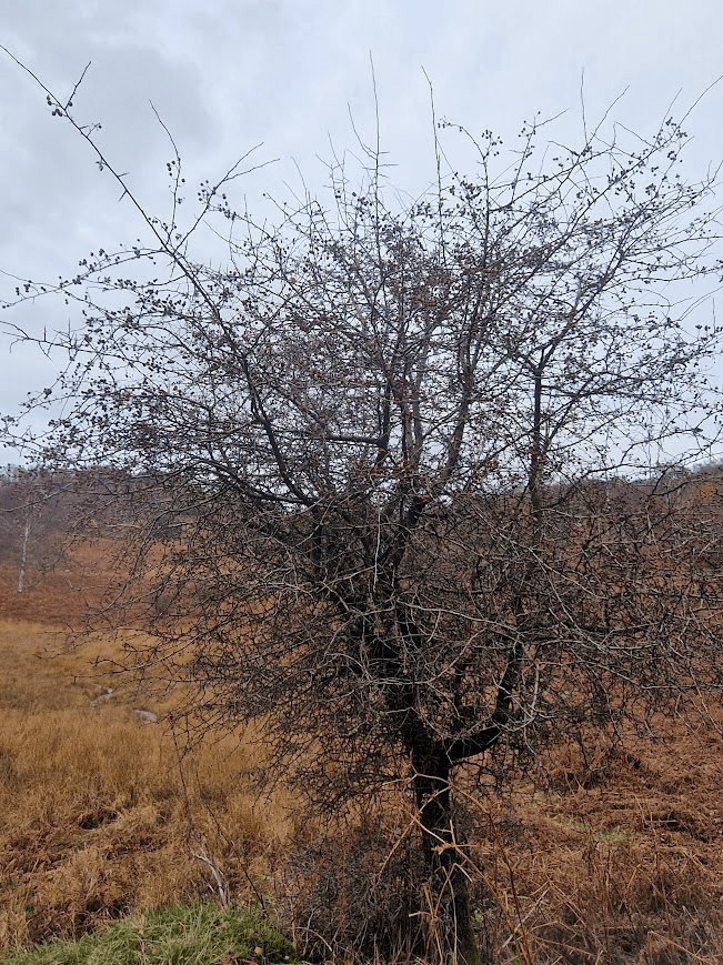
Hawthorns; as in Sussex, often have abundant (bit different) lichen. Sussex Hawthorns are dominated by Ranalina spp. lichens with few or no Usnea spp. Upland north-west Hawthorn often have more Usnea. On these hawthorns Usnea floridana is relatively common; it is very rare on South East hawthorns

Lichens on these two hawthorns

Hypogymnia physodes

Cladonia polydactyla

A liverwort not a lichen: Frullania tamarisci

Falvoparmelia caperata

Beard lichen: probably Usnea subfloridana

Usnea subfloridana

Platismatia glauca 

Two stunted Yews

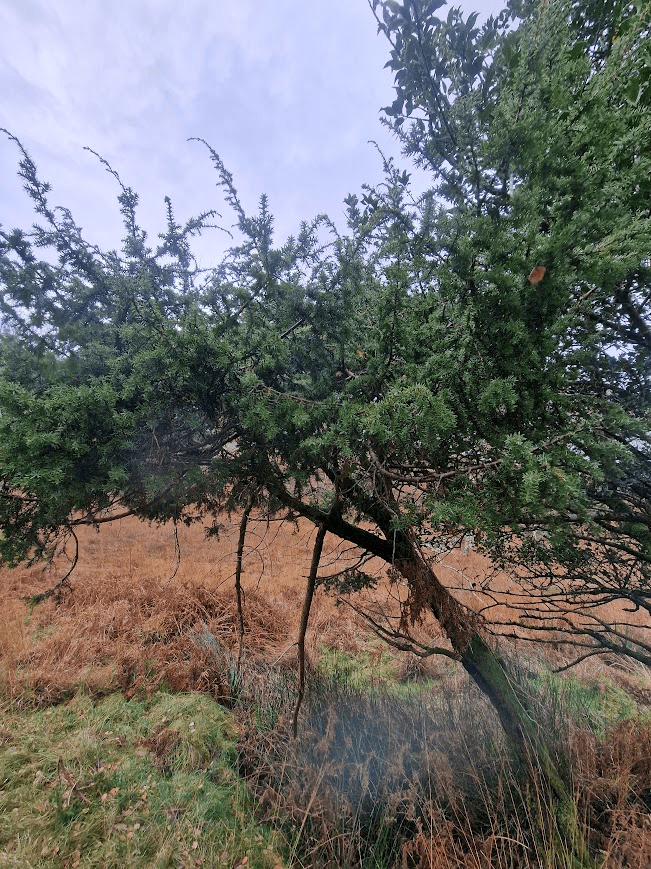
Juniper

Bog Pond Weed

Bog Asphodel

Red: Sphagnum capillifolium subsp. rubellum

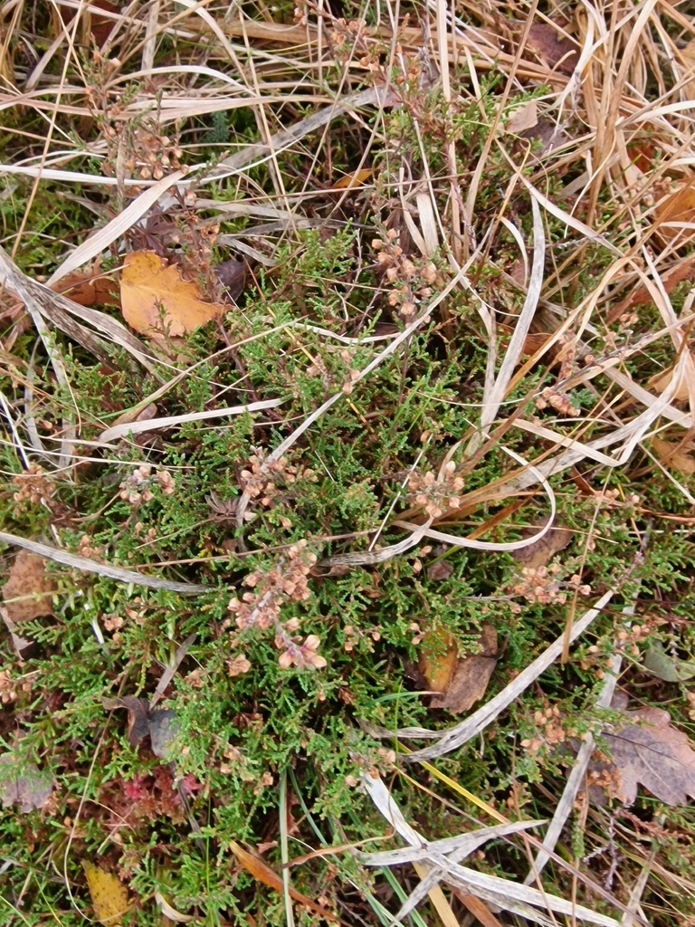
Common Heather

The way in and out of Cummacatta Wood is on the B2859, the Keswick to Seatoller road, along which the Stagecoach 78 bus runs

On the open-top bus back to Keswick

Barnacle Geese, Whooper Swans, Pink-footed Geese & Tree Sparrows. WWT Caerlaverock, Solway Firth, Scotland. 07.11.25

To get to the Wildfowl and Wetland Trust Caerlaverock Wetland Centre, I took the bus from Keswick (where I was staying) to Penrith; then a train from Penrith to Carlisle, then a train from Carlisle to Dumfries. Then I took a bus from Dumfries to the junction on the road to Caerlaverock Castle, where there is a turnoff to the Caerlaverock Wetland Centre. It is about a 45 minute walk from the bus stop to the Wetland Centre. The 6A Bus Service (Houston Couches) only runs five times a day so careful planning is required!

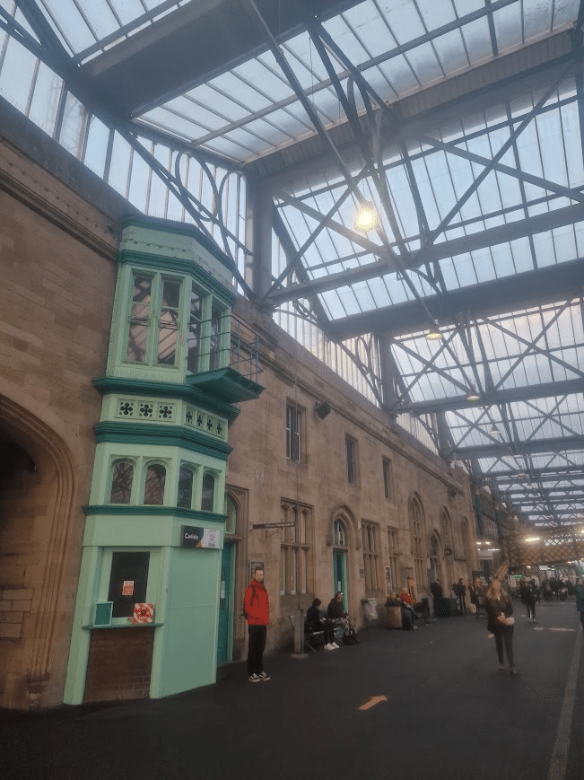
The splendid Gothic Revival / Tudor Revival Carlisle Station. 1847, designed by the architect William Tite.

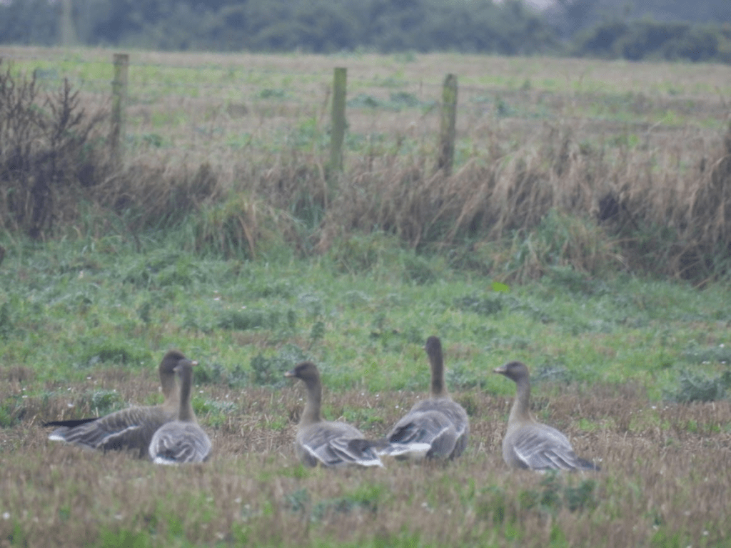
As soon as I got off the bus and started walking down the lane to WWT Caerlaverock, I saw these Pink-footed Geese, Anser brachyrhynchus, in a field next to the lane. They were the only Pink-Footed Geese I saw.

Having spent the brief Arctic summer nesting in central Iceland, pink-footed geese take to open water and spend 25 days afloat, moulting their wing feathers before their flight south. One mid-autumn day, with the wind in the right direction, and temperature and food levels dropping, pink-footed families take off. Into the North Atlantic they fly, making landfall on the Faroe Islands six hours later, resting for a day before taking off again towards British shores. A day later, they land on our coasts. Over 400,000 pink-footed geese spend the winter in the UK [mostly and Scotland and Norfolk] Wildlife Trusts Pink-footed Geese

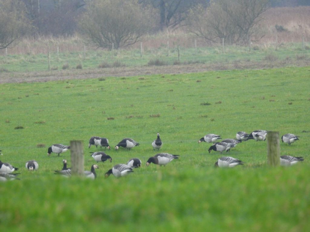
Then, almost immediately, I saw some Barnacle Geese, Branta leucopsis, in the field next door.

The black-and-white barnacle goose flies here for the ‘warmer’ winter from Greenland and Svalbard. This epic journey was once a mystery to people, who thought it hatched from the goose barnacle at sea! The Wildlife Trusts Barnacle Geese The entire population of Svalbard Barnacle Geese (ca. 20,000) overwinter in the Solway Firth

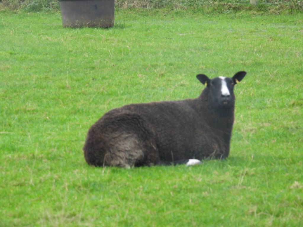
Zwartbles sheep; a breed of domestic sheep originating in the Friesland region of the north Netherlands which are popular in Scotland on the way along the road to the Wetland Centre

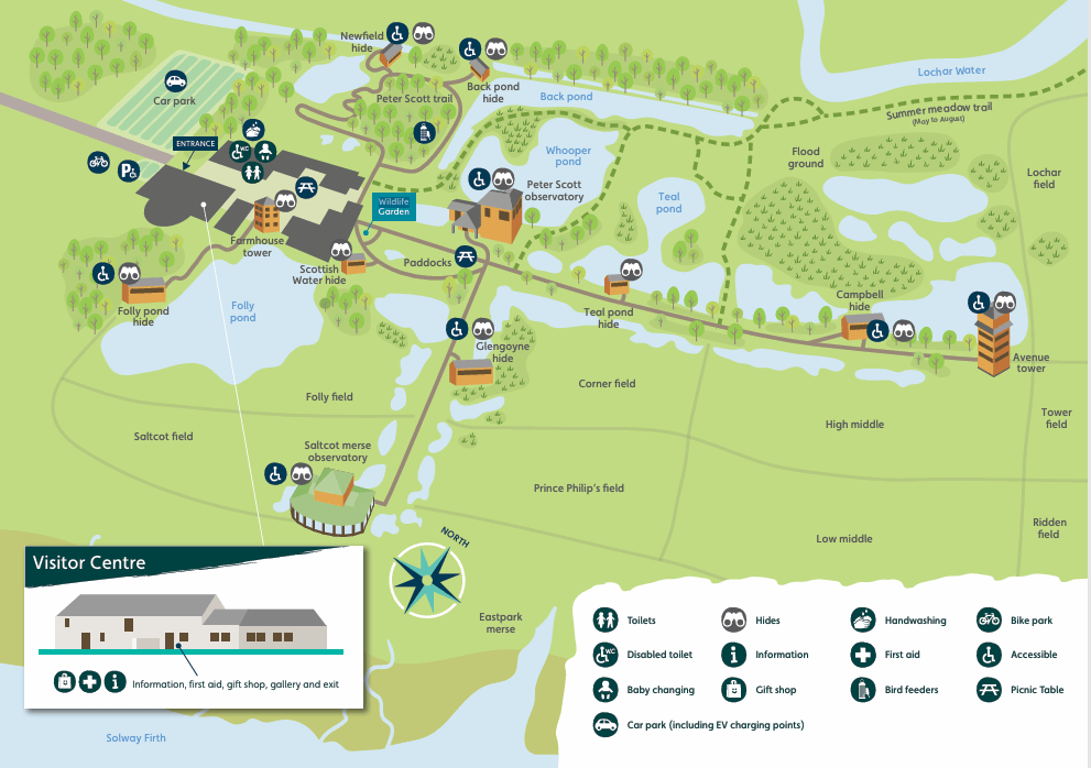
Map of the Wetland Centre.

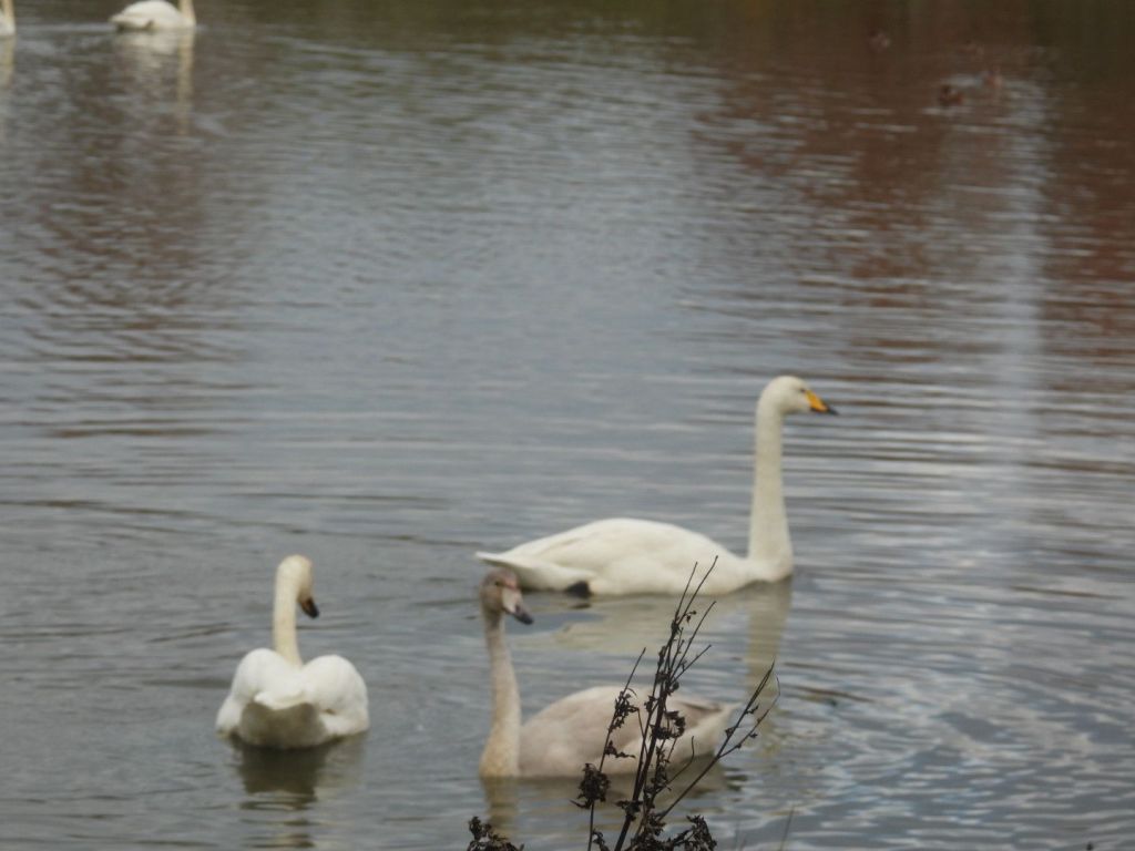
There were about 40 Whooper Swans, Cygnus cygnus, in the Whooper Pool

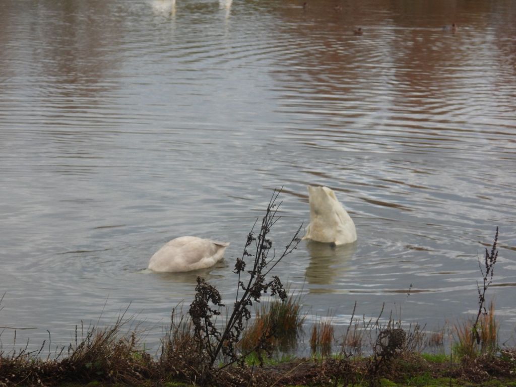
Sibelius saw Whopper Swans flying over him. This inspired the majestic main theme of the last movement of his 5th Symphony; emulating the majesty of swan flight. Here is a Whooper Swan dabbling with bum in the air. If he had seen a Whooper dabbling, with its bum in the air. h is swan theme may be different. Yoi can listen to the Swan theme here: Sibelius: Symphony No. 5 – III. Allegro molto – London Philharmonic Orchestra The first presentation of the Swan Theme is 1:20 mins in (French Horns)

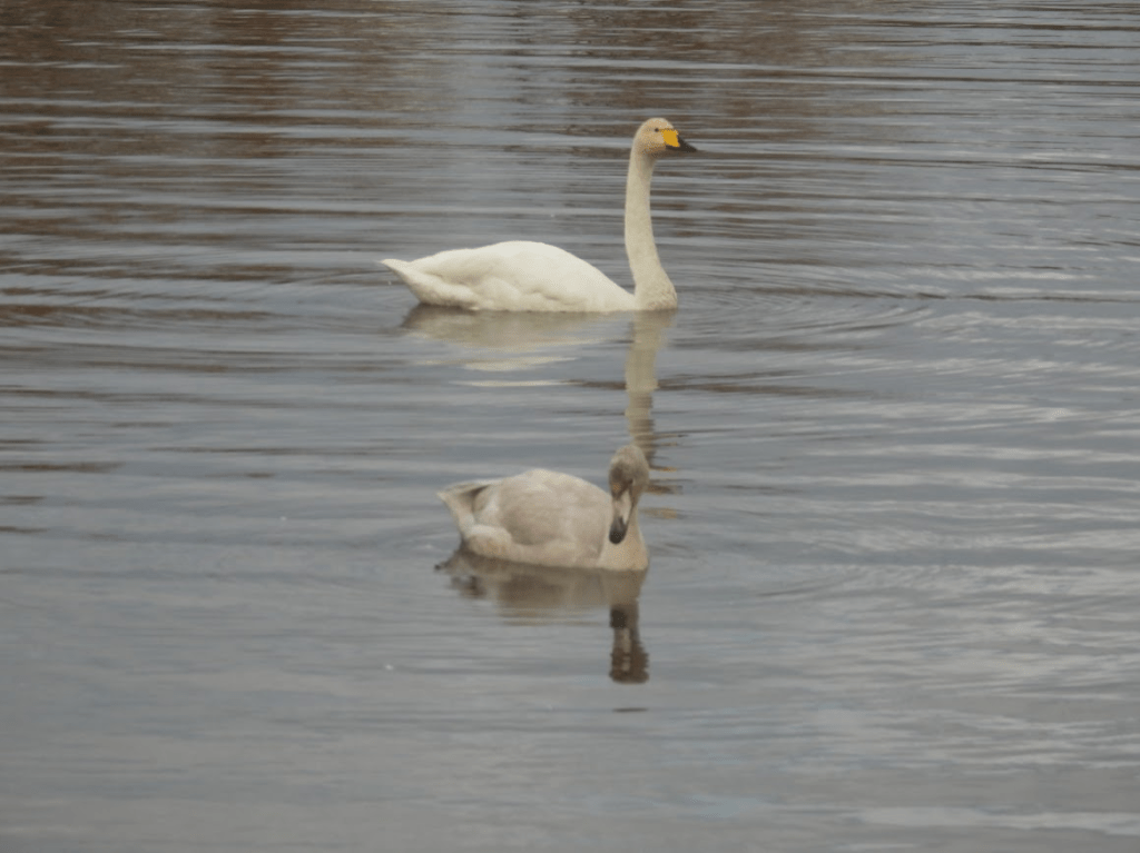
This parent Whooper Swan and its cygnet, were fascinating to watch. The parent did something (e.g. preen, dabble for food), then cygnet did it; learning through mimicry. This cygnet was probably born in Iceland. First time in Scotland.

The Whooper Swan is a large white swan, bigger than a Bewick’s Swan. It has a long neck, which it usually holds erect, and black legs. Its black bill has a large triangular patch of yellow on it. It is mainly a winter visitor to the UK from Iceland, although a small number of pairs nest in the north. The estuaries and wetland it visits on migration and for winter roosts need protection. Its winter population and small breeding numbers make it an Amber List species. It is also a Schedule 1 listed bird, meaning it is illegal to disturb them. RSPB Whooper Swan

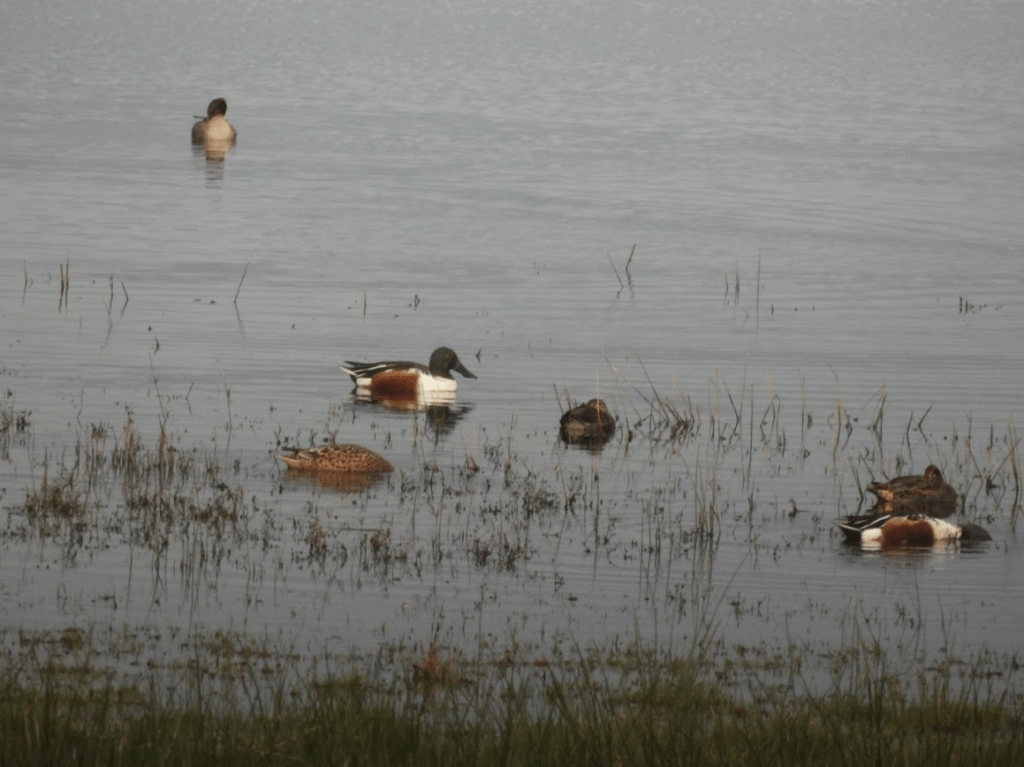
Ducks! Shovelers, Anas clypeata, and Teal, Anas crecca, in the Whooper Pool

As I was walking to a hide I saw a flock of Redwings, Turdus iliacus, and Fieldfare, Turdus pilaris; the UK’s “winter thrushes” that migrate from Scandinavia. They were eating Hawthorn haws.

Fieldfare – along the Avenue

Fieldfares are large, colourful thrushes, much like a Mistle Thrush in size, shape and behaviour. They stand very upright and move forward with purposeful hops. They are very social birds, spending the winter in flocks of anything from ten or twenty to several hundred strong. These straggling, chuckling flocks which roam the UK’s countryside are a delightful and attractive part of the winter scene. RSPB Fieldfare

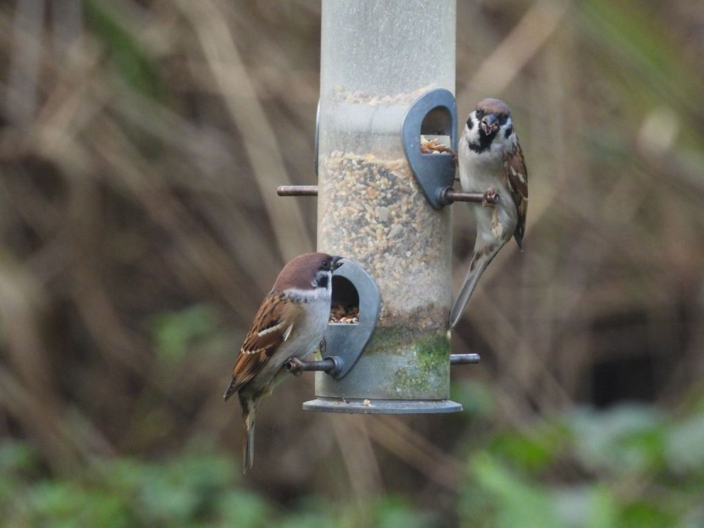
Tree Sparrows, Passer montanus

This was the first time I have ever seen Tree Sparrows; I have searched for them in their remaining locations in Sussex with no success.

Tree Sparrow Passer montanus

Much declined and now very scarce resident; scarce passage migrant and winter visitor. Red-listed species of high conservation concern. Section 41.

Records were received from only four sites in 2023 as the Tree Sparrow decline continues in Sussex. All the records were from East Sussex. No birds were reported from many former strongholds such as Pevensey Levels, Rye Hbr and Scotney GP.

The first record of the year was from East Guldeford village where a single bird was reported on 22 Jan. The highest count of the year was just four at Camber on 5 Jun. A single bird was photographed in a garden at Northiam on 23 Jul and was seen on three successive days. This sighting was close to an unconfirmed report from the previous month. A Tree Sparrow was seen in the same Northiam garden on 14 Nov. The final sighting of the year mirrored the first, a single bird at East Guldeford village on 28 Dec.

Tree Sparrow continues to slide towards extinction in Sussex. Numbers of this species have fluctuated in the past, which offers some hope, but there is no sign of recovery yet. This is a species of high conservation concern and observers are asked to report all sightings, particularly if breeding evidence is obtained. [RA Black] Sussex Ornithology Society Sussex (2024) Bird Report 2023 p. 176

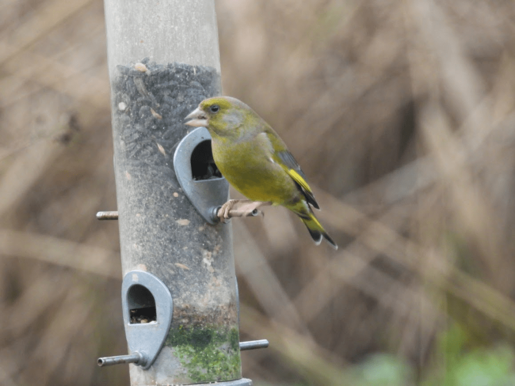
Green Finch, Chloris chloris

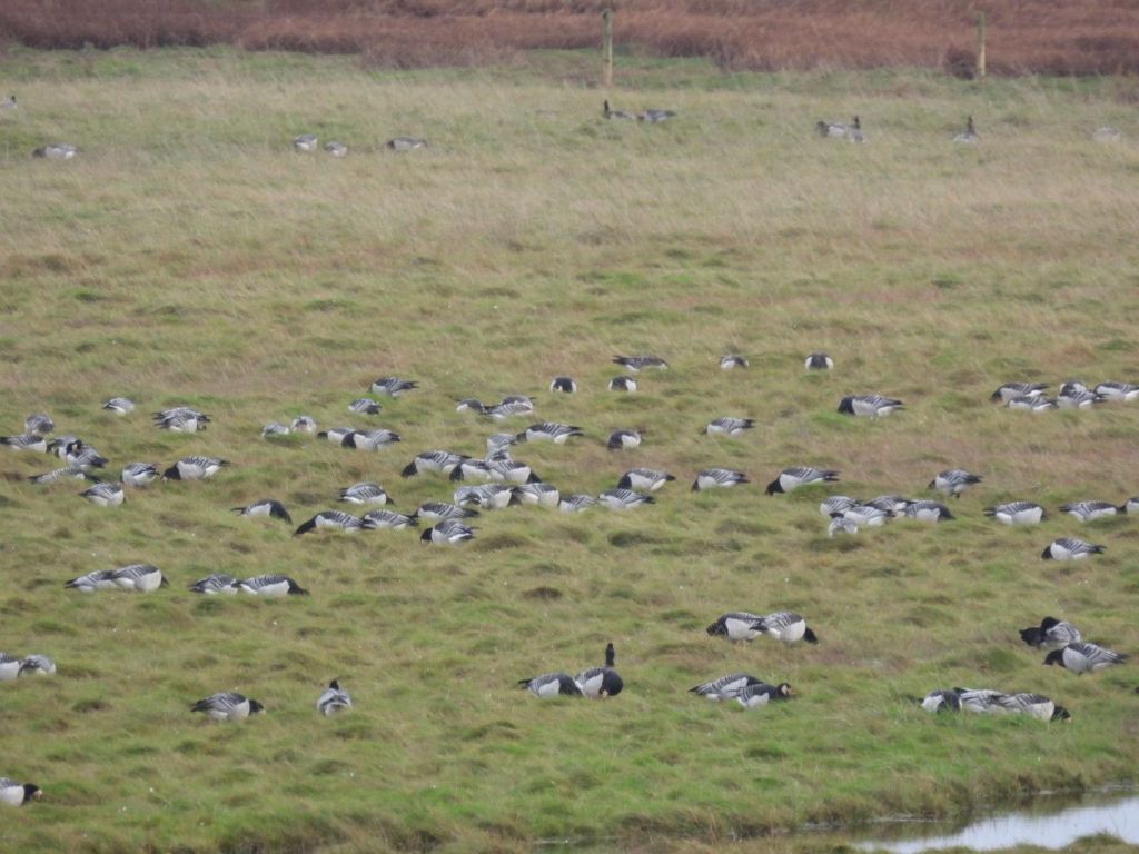
Some of the 1000s of Barnacle Geese by the flood planes of the Solway from the Salcot Merse Hide.

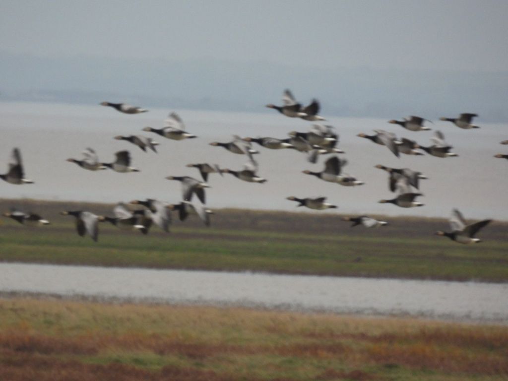
A Hen Harrier attack. A pair of Hen Harriers, Circus cyaneus, were sitting on posts near the Solway. The male flew off – probably to catch a Meadow Pipit or a rodent, and it spooked the Barnacle Geese

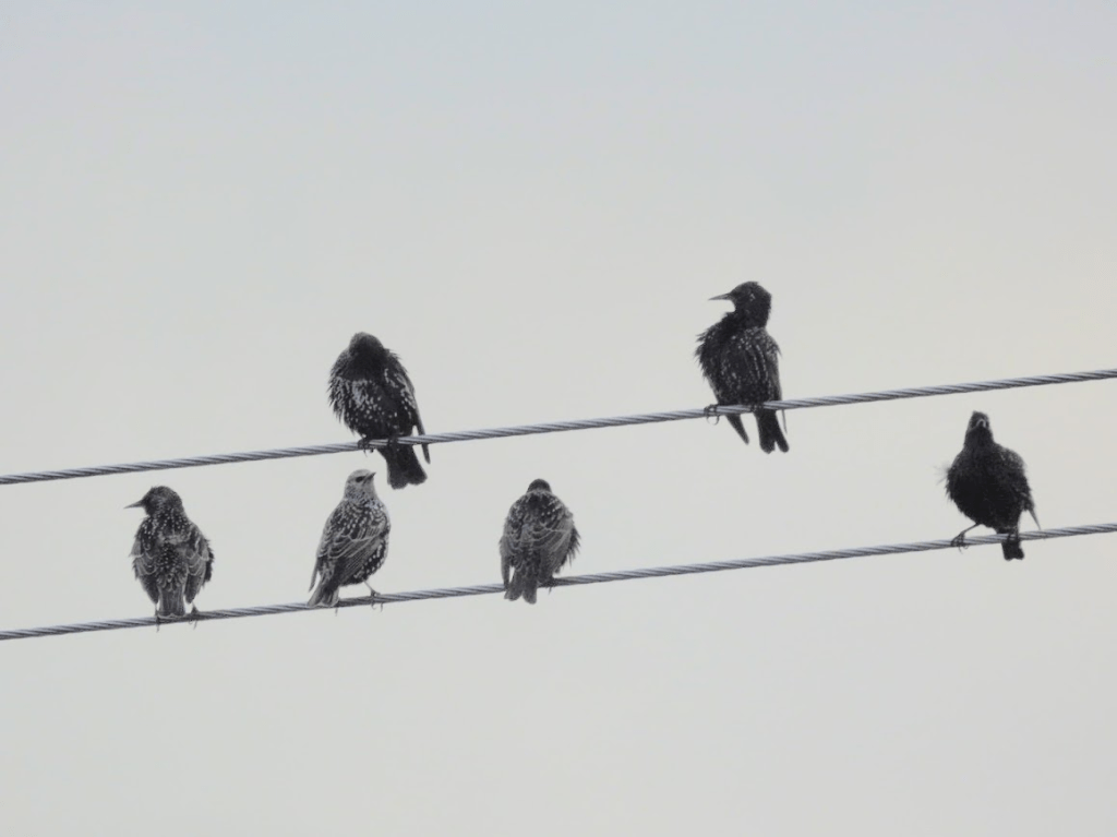
Starlings, Sturnus vulgaris, on a power line; walking back towards the bus stop.

Near the bus stop I saw a raptor flying low across a field. It settled in a Hawthorn for a few seconds and flew up. This was the best shot I got; it’s probably a Buzzard, Buteo buteo

Castlerigg Stone Circle and lichens on a dry stone wall on the lane to Castlerigg. The last day of my Lakes holiday. 08.11.25

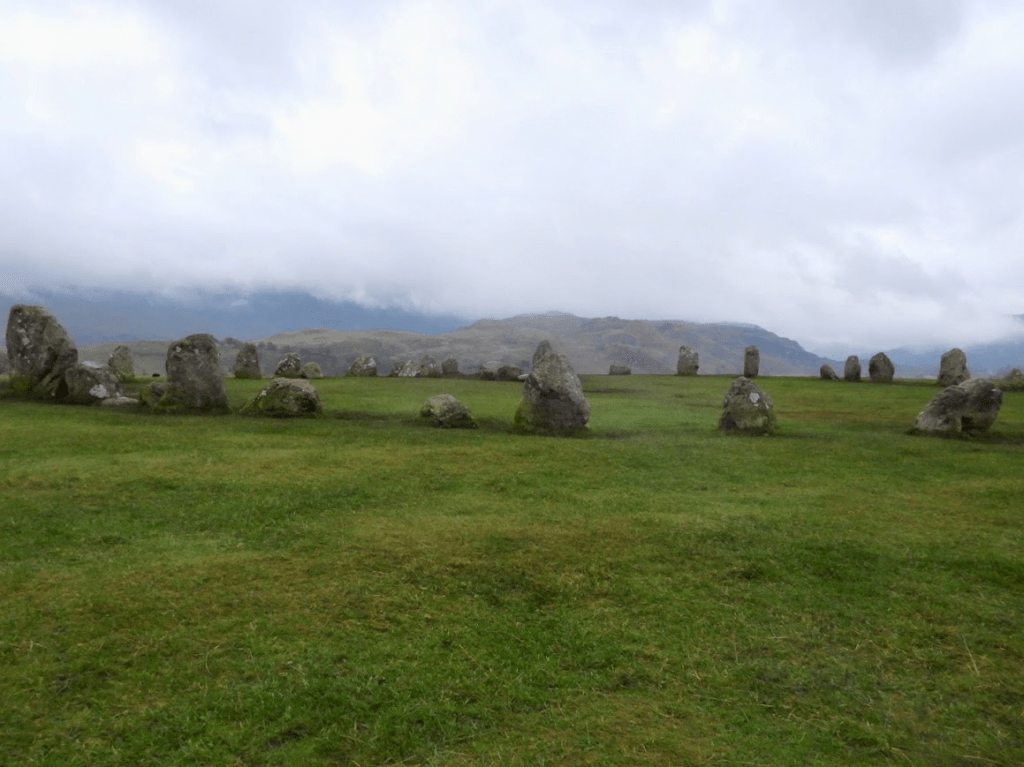
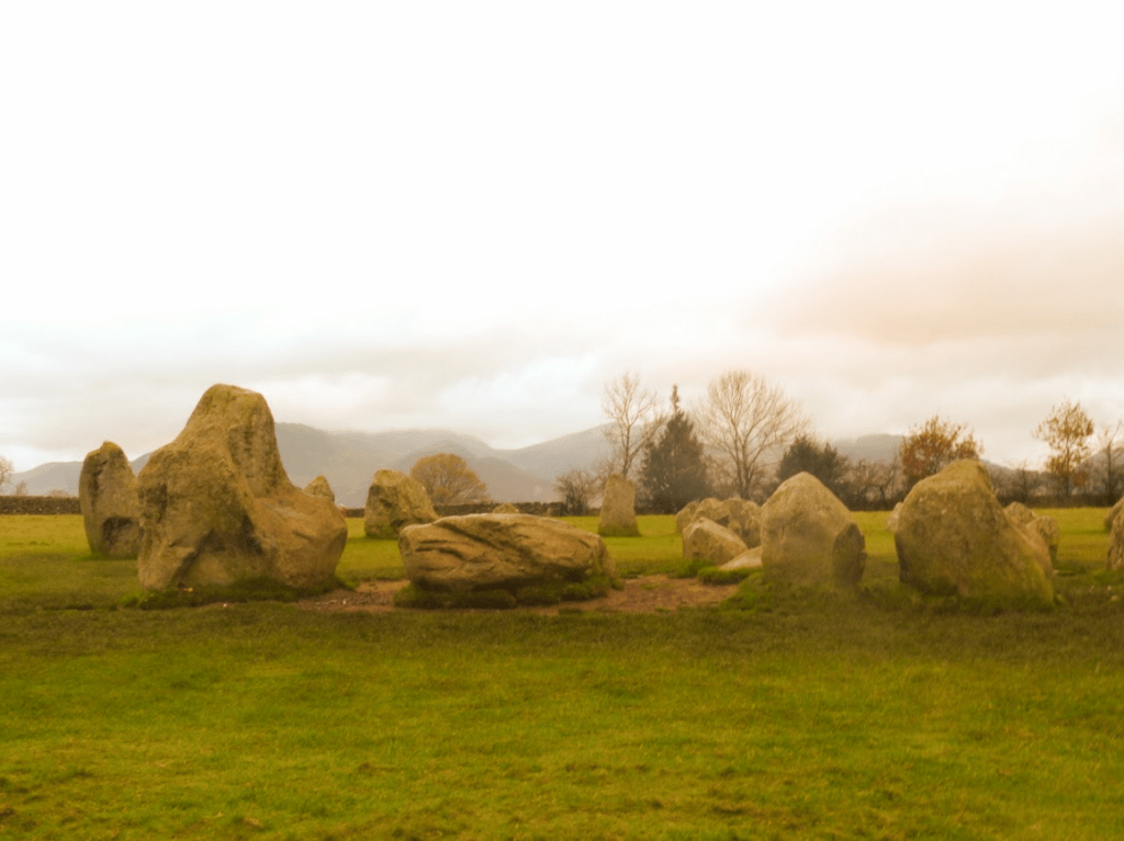
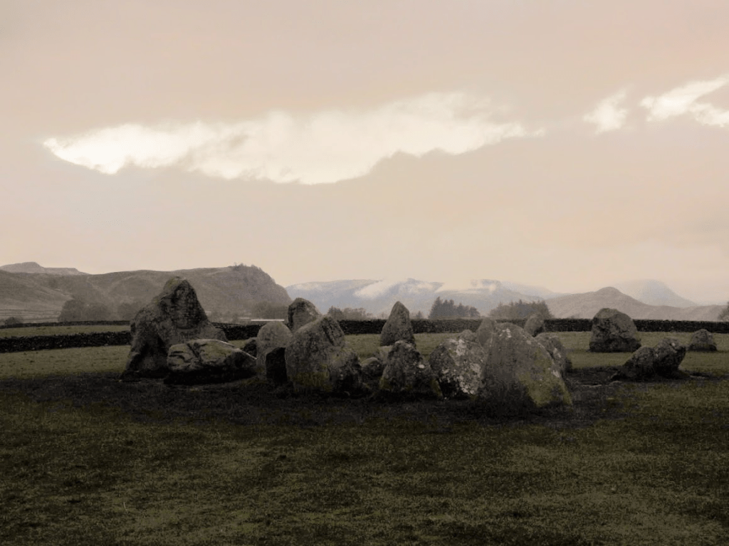
The Castlerigg Stone Circle is 2 miles from the centre of Keswick. I took the bus bus to the nearest bus stop then had to walk a mile along a narrow lane to reach the stones

There are few stone circles in Britain in such a dramatic setting as that of Castlerigg, which overlooks the Thirlmere Valley with the mountains of High Seat and Helvellyn as a backdrop. … Thought to have been constructed about 3000 BC, it is potentially one of the earliest in the country. … Although there are more than 300 stone circles in Britain, the great majority of them are Bronze Age burial monuments (dating from about 2000–800 BC) containing cremations in central pits or beneath small central cairns. By contrast, their Neolithic forebears, such as Castlerigg, Swinside in the southern part of the Lake District, and Long Meg and her Daughters in the Eden Valley, do not contain formal burials. The Neolithic stone circles also differ from those of the later Bronze Age in their generally larger size and often flattened circular shape – as is found at Castlerigg – comprising an open circle of many large stones. Castlerigg is about 97½ ft (30 metres) in diameter, and formerly comprised 42 stones. There are now only 38 stones, which vary in height from 3¼ ft (1 metre) to 7½ ft (2.3 metres).

Neolithic stone circles typically have an entrance and at least one outlying stone. The entrance at Castlerigg, on the north side of the circle, is flanked by two massive upright stones, and the outlier is presently to the west-south-west of the stone circle, on the west side of the field adjacent to a stile; this stone has been moved from its original position. It has been suggested that such outlying stones had astronomical significance – alignments with planets or stars – although examination of those in early stone circles elsewhere in Britain has shown that there are no consistent orientations for them. English Heritage Castlerigg Stone Circle

I arrived at the stone circle just as the sun was rising, I thought I’d have the stones to myself; how wrong I was!

More sun!

Some of the lichens on the dry stone walls on the tiny lane to Castlerigg .

Parmelia saxatilis Salted Shield Lichen

Cladonia polydactyla

Parmelia omphalodes Smoky Crottle

P. omphalodes was called dark crottle by Scots tweed makers. Gaelic “crotal”: lichens for red/brown dyes.

Stereocaulon vesuvianum 

Stereocaulon vesuvianum is a common lichen of upland silicious rock, often on dry stone walls, and I associate it with holidays in the North West. l hadn’t seen it till the last day of my holiday – the last day of my holiday. So I can go home content now! Its pseudopotetia (sticky-up bits) could make you think it’s a Cladonia species

Tephromela atra Black-eye Lichen

Parmelia sulcata Hammered Shield Lichen

Grubbins Wood and Lancaster Whitebeam, Arnside, and Gait Barrows NNR; a forty-five year wait to see Limestone Pavement! 05.11.25

To get to Arnside I took the bus from Keswick (where I was staying) to Penrith; then a train from Penrith to Lancaster then a train from Lancaster to Arnside.

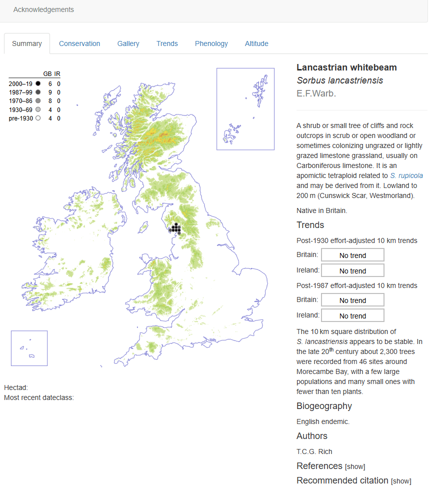
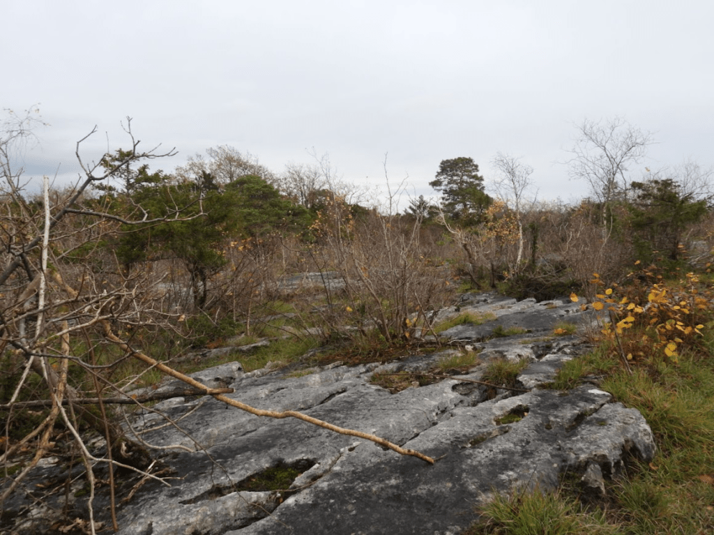
I went to Arnside and Gait Barrows because I knew about Lancaster Whitebeam and wanted to see it; and I wanted to visit a limestone pavement for the first time.

The Arnside and Silverdale area is a National Landscape (Area of Outstanding National Beauty); although I didn’t find that out until after I had visited.

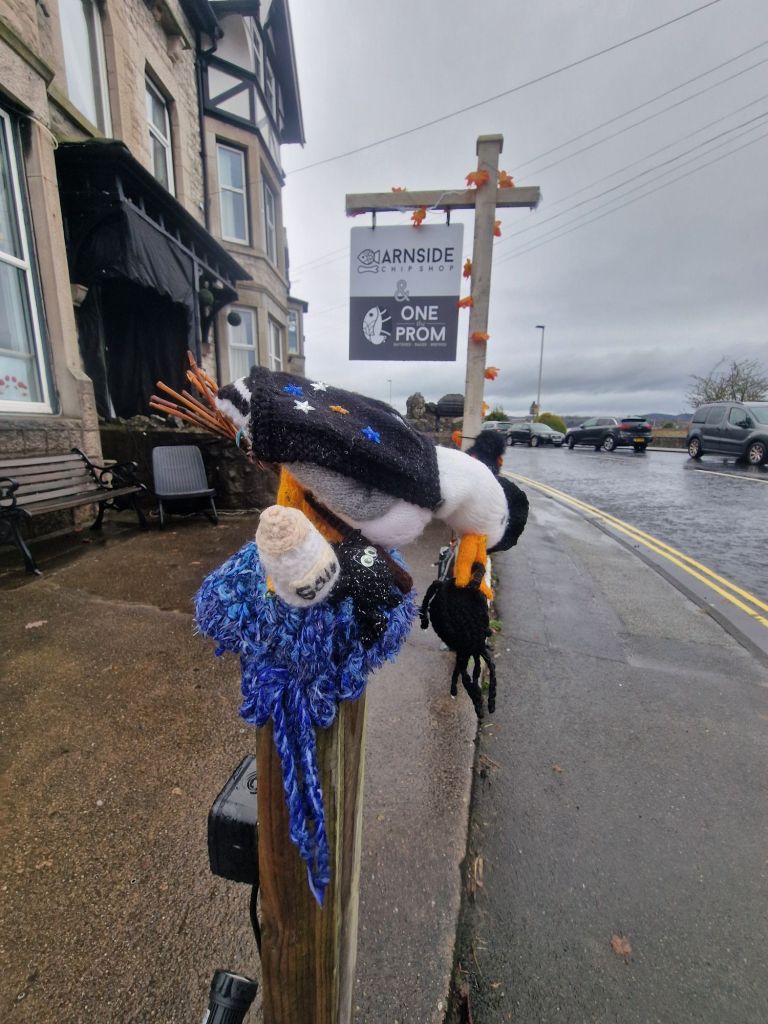
I was welcomed to Arnside by a Herring Gull dressed as a witch eating spiders outside the local chippy.

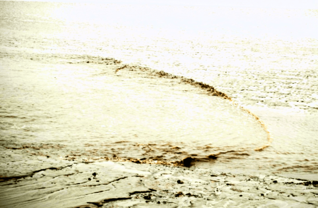
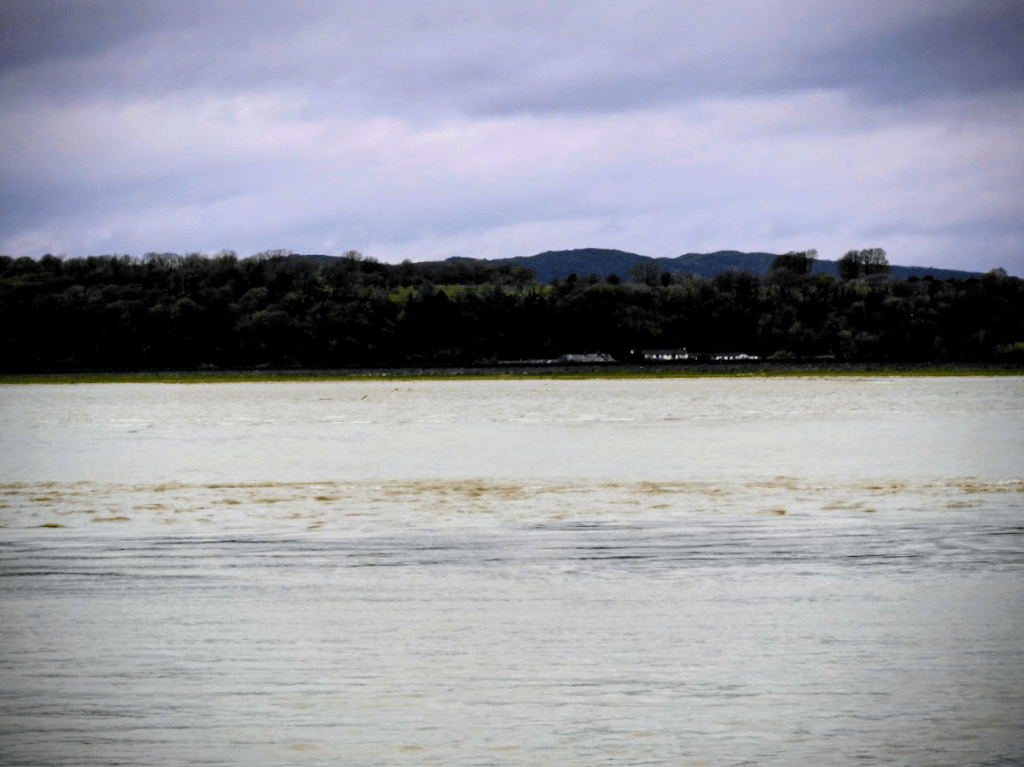
I arrived just before high tide, just as the tidal bore swept up to the Kent Estuary rail bridge. It was fascinating to watch

On the highest tides, a most unusual sight can be seen in the Kent Estuary in Morecambe Bay called the Arnside Bore. This is one of about twenty tidal bores that occurs in the UK and is named after the village of Arnside. It is quite a spectacle and often draws crowds of onlookers.

The source of the Kent is the Kentmere Valley near Ambleside and the river then flows down through Kendal to Morecambe Bay … When conditions are right, the siren also serves as an indication that the Arnside Bore is approaching from Morecambe Bay. The first blast typically occurs about 15-20 minutes before the wave arrives and the second as it passes New Barns Bay near Blackstone Point. The speed and power of the wave can be most impressive to see. Usually it dissipates on reaching the viaduct but sometimes it travels further inland to Sandside and the mouth of the River Bela Meteo Writer The Arnside Bore in Morecambe Bay

Kent Estuary Rail Bridge

Morecombe Bay is extremely dangerous: The combination of fast tides, quicksands, draining rivers, shifting channels and sheer unpredictability has trapped the unwary for centuries. … 19 Chinese cockle pickers drowned when they were caught by the tide as they laboured for a pittance on Red Bank, two and a half miles from the shore near Boulton-le-Sands. The Guardian Why is Morecombe Bay so dangerous.

The tide was too high to explore the trees on the shoreline of Grubbins Wood, where the Cumbria Wildlife Trust reports Lancashire Whitebean to be. I had to dive straight inland to the wood. Where I was greeted by some friendly bullocks conservation grazing

The wood is dominated by Yew, Sessile Oak and Hazel

Ancient Yew

Peeking through the trees, I saw two Red-Breated Mergansers

To get back to the village of Arnside I had to walk through Copridding Woods and Red Hills

And as I walked out of Grubbins Woods via New Barns, I saw a Great White Egret and Little Egret in foraging in tidal pools

In Copridding Wood, I saw this interesting fungus, Phaeotremella frondosa

Red Hills is acidic limestone heathland with a prodigious number of  juniper trees.

After I walked through the woodland to the east of Arnside, I returned to the north of Arnside, where I had initially entered from the train station. By then the tide had receded sufficiently enough for me to walk along the shoreline in front of Grubbins Wood; and I found the Lancaster Whitebeam

Sorbus lancastriensis Lancaster Whitebeam

Sadly with no fruit, its leaf morphology was key to identification

The leaves are broadly oval with a slightly toothed margin and a distinctive pale underside. They are usually unlobed or only faintly lobed near the base, with around 6–8 pairs of lateral veins. The upper surface is dark green, and the underside is whitish and felted – a key feature of whitebeams. In autumn, the foliage turns a muted yellow or brown before falling. Habitat: Cliffs, rocky places, woodland Wild Flower Web Lancaster Whitebeam

Screen shot from BSBI Plant Atlas online

Wild Flower Web blog: Lancaster Whitebeam: A Unique and Endangered Tree:

The Lancaster Whitebeam (Sorbus lancastriensis) is a species of tree that is native to England and Wales. It is a species of whitebeam, a group of trees that are closely related to the rowans or mountain ashes. The Lancaster Whitebeam is unique in its appearance and is easily distinguishable from other whitebeams.

One of the most notable features of the Lancaster Whitebeam is its leaves, which are large, lobed, and have a distinctive, glossy appearance. The leaves are also a rich green color, making the tree a beautiful addition to any landscape. Another distinct characteristic of the Lancaster Whitebeam is its fruit, which are large clusters of orange-red berries that are popular with birds and other wildlife.

Despite its beauty, the Lancaster Whitebeam is a threatened species, and its population has been declining in recent years. The main reason for its decline is habitat loss, as the tree’s natural habitats have been destroyed or altered for human development. The tree is also threatened by diseases and pests, which can weaken its health and reduce its ability to produce fruit.

Conservation efforts are underway to protect the Lancaster Whitebeam and its habitat. The tree has been designated as a priority species under the UK Biodiversity Action Plan, which means that action is being taken to conserve and protect it. This includes planting new trees and restoring habitats, as well as monitoring the tree’s population and health.

The Lancaster Whitebeam is a unique and beautiful species of tree that is in danger of disappearing. Its distinctive appearance, attractive fruit, and importance to wildlife make it a valuable addition to the English and Welsh landscape. With proper conservation efforts, it is possible to protect this tree and ensure that future generations can enjoy its beauty.

In addition to its conservation status, the Lancaster Whitebeam has also been found to have potential medicinal uses. The tree’s leaves and bark have been used in traditional medicine for centuries to treat a variety of ailments, including digestive problems and skin conditions. In recent years, there has been growing interest in the potential health benefits of whitebeam species, including the Lancaster Whitebeam. Studies have shown that the tree’s leaves and bark contain compounds that have anti-inflammatory, antibacterial, and antiviral properties, making it a promising source of natural remedies.

Despite this potential, there is still much to be learned about the Lancaster Whitebeam and its medicinal properties. Further research is needed to fully understand its potential health benefits and to determine the most effective ways to use its compounds in medicine.

In addition to its conservation status and potential medicinal uses, the Lancaster Whitebeam is also an important part of the local culture and heritage in England and Wales. The tree has been associated with folklore and legends for centuries, and is considered a symbol of the region’s history and identity.

Overall, the Lancaster Whitebeam is a fascinating and important species of tree that deserves our attention and protection. Its unique appearance, potential medicinal uses, and cultural significance make it a valuable addition to the natural world, and we should work to ensure that it is preserved for future generations to enjoy.

It’s also worth noting that the Lancaster Whitebeam is not just a valuable species in its own right, but also provides important ecosystem services. As a keystone species, it supports a wide range of other species in its ecosystem, from the insects and birds that feed on its fruit, to the fungi and bacteria that decompose its leaves and bark. By preserving the Lancaster Whitebeam, we are also helping to maintain the overall health and diversity of the ecosystem in which it is found.http://www.wildflowerweb.co.uk/plant/1510/lancaster-whitebeam

Next to the Whitebeam was a Spindle Tree, an ancient woodland indicator species.

The coastal rocks were covered in lichess

Tephromella atra with free-living aga living on the thallus. Not especially maritime, … but also rather common in the aerohaline zone [the above the area reached by direct wave action.] Lichens Marines

Gait Barrows NNR

I then walked three mikes through lanes to Gait Barrows National Nature Reserve.  The lanes I walked through passed several mosses i.e. lowland bogs.

Whilst I studied Limestone Pavements in A level geology in 1978-80 at school in Brighton, we never visited one as to do so would have been too long a field trip. Moreover, as I only use public transport it is not easy to visit the north where they are. I’ve had a forty-five year wait to see a Limestone Pavement. And it was worth the wait.

A landscape moulded by time.

The landscape at Gait Barrows has been shaped over many thousands of years.
Much of the nature reserve lies on ancient Carboniferous limestone which was laid down in warm tropical seas some 300 million years ago. With the influence of more recent mountain building periods that created mountain ranges like the Alps, this bedrock has been flexed and uplifted to give the low hills and crags of the limestone landscape that we are familiar with today.

In the last Ice Age some 14,000 years ago, deep ice covered this part of Northern
England and Hawes Water Basin was formed by the deeply scouring ice sheet as
it passed from what today are the Cumbrian high fells to the Irish Sea. This deep trough in the limestone was then filled with groundwater to create the Hawes Water we know today.


The intricate features of the limestone pavements have been shaped and modified by glacial action in the last Ice Age, and more recently by rainfall and groundwater.

On the open pavements you will see wide flat blocks called clints, separated by deep fissures known as grikes. Lying on the clint surfaces are shallow gutter-like runnels and pan-like solution cups, which collect and funnel rainwater from the rock surface. Nature England Gait Barrows National Nature Reserve

A Yew. Limestone pavement produces stunted trees due to the paucity of soil in the grykes

Diagram from Limestone Country

Ctenidium molluscum Comb-Moss

Yew, Hazel, Beech and Silver Birch

Hart’s -Tongue Fern

Wood Sage

White Stonecrop

Maidenhair Spleenwort

Juniper

There was lots of Nostoc commune; a cyanobacteria (blue-green algae), concentrated into brownish or greenish clumps, on the limestone pavement aften around vascular plants

Views at dusk

As the sun began to fade I walked quickly to Silverdale Railway situation to return to Keswick

You need to be careful at Gait Barrows with clints and grikes trying to break your legs and every direction looking the same. Gait Barrows is a great place to get completely lost. Wild Flowers Lancastrian Whitebeam

I met this Cockerel on the walk to Silverdale Station!

An unexpected visit to Rydal Water. Ancient pollarded Sessile Oaks and a sinking isle. 04.11.25

On this Tuesday, I was expecting to go to the southern Borrowdale woods that I hadn’t been able to see the day before, due to the bus being cancelled all day due to flooding. But the bus to Seatoller was still cancelled again due to flooding, so I decided to take the bus to Ambleside to change busses for Skelwith Bridge, where there was some interesting woods; but the bus to Skelwith Bridge was also cancelled due to flooding. The only place I could go to to see some woods, was to take the bus that goes back to Keswick and get off at Rydal.

Rydal has Wordsworth’s House, the famous Rydal Falls and some unnamed broadleaf woodlands that I had noted on the OS map that could be interesting. Some of the most beautiful trees  I have seen have been in woods unnamed on maps.

First, I visited the National Trust’s Dora’s Field; a field named by William Wordsworth after his daughter who died at a young age.

Next to Rydal Church stands a field known locally as ‘The Rashfield’. This was originally a wet field where rushes (“rashes”) grew and it later became known as  ‘Dora’s Field’. The field was purchased in 1825 by William Wordsworth.  

Provoked by the threat of eviction by his landlady Lady Anne Le Fleming who planned to replace the Wordsworth family with a member of her own family, Wordsworth bought the Rashfield, drained it and declared that he intended to build on it.  … but Lady Anne withdrew the threat of eviction & Wordsworth remained at Rydal Mount until his death there in 1850.

Having already lost two children in infancy Wordsworth and his wife suffered a third blow when Dora, her father’s favourite, died aged 43 of tuberculosis in 1847. The poet never recovered from the loss of this daughter and, after Dora’s death Wordsworth, his wife Mary, sister Dorothy and a gardener planted the daffodils as a permanent memorial. A Rydal Guide: Dora’s Field

Dora’s field contained some beautiful coppiced and pollarded Sessile Oaks

Then I walked about 500m to visit the Rydal Falls; in the woodland behind Rydal Hall. A few meters aways is Rydal Mount, the “cottage” in which Wordsworth lived. Rydal Falls and Rydal Mount were very popular destination for Victorian tourists

There is not anywhere in England a drive so full of that mingled natural and human interest which makes scenery so impressive. It is well-nigh impossible for sensitive minds not to feel something of ‘the light that never was on sea or land’ as they pass the thresholds of the good and great, whose thoughts have helped our England to be pure. In this coach drive to Keswick they not only go by the homes of the thinkers and poets and philosophers, but their foreheads feel the wind and rain that gave such freshness to the seers of the last generation; the sunlight on lake or mountain head that filled their minds with glory fills ours today. The woods and waterfalls that speak to us upon our way spoke also to them. We can in fancy see their familiar forms upon the road, and, as in eastern travels the ‘weli’ or way-side tomb made the journey’s stage rememberable [sic], so we find in this pilgrim stage through poet-land that the great dead lend it a kind of solemn sweetness, and the dust of two laureates hallows the wonder-giving way. Rawnsley, A Coach-Drive at the Lakes : Windermere To Keswick (1891) , pp. 3–4 quoted in Christopher Donaldson, Ian N. Gregory, Patricia Murrieta-Flores, Mapping ‘Wordsworthshire’: A GIS Study of Literary Tourism in Victorian Lakeland, Journal of Victorian Culture, Volume 20, Issue 3, 1 September 2015, Pages 287–307.

I then took the Coffin Road above Rydal Mount through the unnamed woods.

… at a higher-level running through the meadows of Rydal Park and across the slopes of Nab Scar, is an … [old] track. It dates back a very long time and is called locally, the Coffin Road, due to the fact that the only consecrated ground for burial in the area was the grave yard at St Oswalds in Grasmere and it was therefore used to convey coffins on their final journey. Visit the Lake District – Ambleside to Grasmere – ‘The Coffin Route’

On a drystone wall next to the beginning of the route was this multi-cup “Pixie Cup” Cladonia sp. lichen, possibly C. chlorophaea s.l. (one of the C. chlorophaea aggregate). It was a veritable “Pixie Champagne Fountain”. Maybe a Pixie Wedding occurred there.

The pollarded Sessile Oaks the wood unnamed on the OS map; this looks like pasture woodland but I can find out nothing about this woodland on line

This Hawthorn had epiphytic Polypody fern

and some beautiful epiphytic lichens

Ramalina farinacea

Ramalina farinacea above can look very similar to Usnea (beard) lichens; the way to spot R arinacea is that it has prominent flour-like (farine (French) flour in farinacea) blobs (soredia) on its lobes; Usneas mostly mostly don’t have soredia, but some do, like Usnea subfloridana. Lichen are just hard.

Usnea subfloridana

Usnea ceratina

and this rain-soaked moss, Ulota bruchii. Bruch’s Pincushion

From the path it appeared as if Little Isle in Rydal Water was being engulfed by the rising water of the lake, like the medieval French legend of Ys, which was engulfed by the sea and rises occasionally; beautifully evoked in Debussy’s La Cathedrále Engloutie prelude Click: La Cathedrále Engloutie to listen.

I then walked on further west, along a dry stone wall above woodland (unnamed) under the fell Lord Crag, with fabulous views of Rydal Water

The very red apothecia (fruiting bodies) of this Peltigera sp. lichen, poss. P. horizontalis, really stood out on a dark and rainy afternoon on the very wet dry stone wall

Looking up Lord Crag, pollarded Sessile Oaks. The spots are rain drops on my camera lens

Theses lonely oaks on the foothills of Lords appear “wild”; but pollarding is a human intervention; so even these “wild” veteran trees have been managed across time.

Water pouring over a dry stone wall. It rained all day this Tuesday as it did the day and weekend before

This is the public footpath down to Rydal Water not a waterfall

This is a unnamed waterfall just marked on the OS map as “fall”

From the car park next to the waterfall I got the bus back to Keswick

My waterproof trousers and jacket, that had given up repelling water, drying in the hotel room bathroom; after being sprayed with Durable Water Repellent. Durable Water Repellent is available in nearly the gazillion outdoor shops in Ambleside (where I bought mine) and Keswick